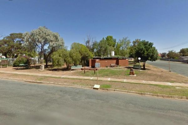
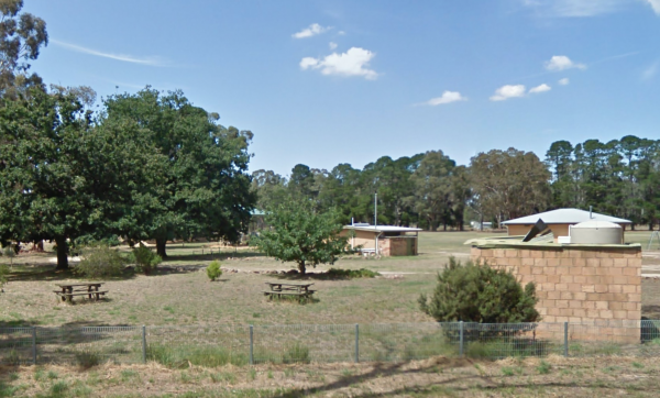
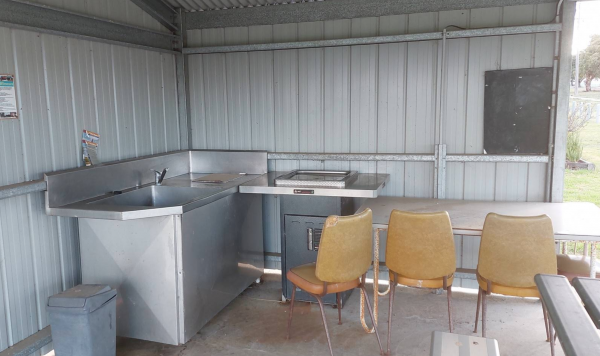
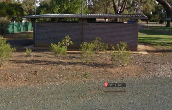
Facilities Available: Amenities Block
90 Mile Beach, Golden Beach, Seaspray, Paradise Beach C...
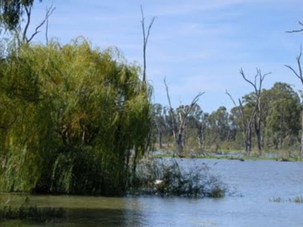
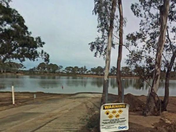
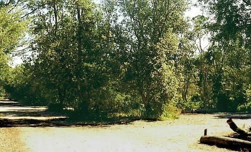
The 90 Mile Beach - Golden Beach, Seaspray, Paradise Beach Camping Area Free camping areas located between Golden Beach and Seaspray in the Gippsland Lakes Coastal Park, also camping at Paradise Beach. Toilets at every 2nd site. Hot showers available at G ...
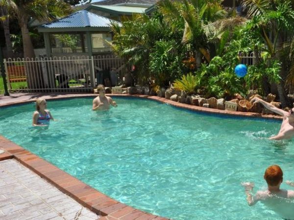
The A Maze'N Things Holiday Park has a lot to offer for the littlies, with a theme park walking distance to where you camp, the caravan park is not too far from island attractions it's a short drive to everything, including beaches and town. Entrance to ...
 ,
,  ,
,  ,
,  ,
,  ,
,  ,
,  ,
,  ,
,  ,
,  ,
, 
A'wangralea Caravan Park
The A'wangralea Caravan Park is located in central Mallacoota although it is a older small park it does have clean amenities and is dog friendly. Entrance to the A'wangralea Caravan Park A'wangralea Caravan Park location map
, , , , ,
The Acacia Caravan Park is located on the outskirts of Ararat it's a Small friendly caravan park. Amenities are spotless. Quiet and dog friendly.
, , , , ,  , , , ,
  ,
,  ,
, 
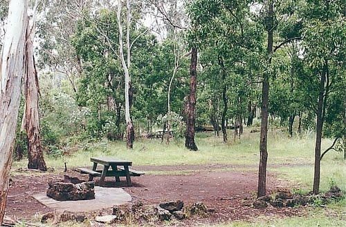
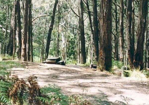
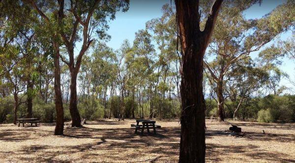
Ada River Camping Area
The Ada River Campground is a set among tall gum trees with plenty of room for your caravan to spend a pleasant day or two. You have drop toilets onsite, you will also find fireplaces with picnic tables are scattered everywhere, so you don't have to worry ...
The AH Youngs Camping Area has large grassy areas to park your caravan or pitch a tent and the clear waters of the Buckland river are within easy walking distance from your campsite. AH Youngs Camping Area location map
Aire River West Campground - Otway National Park
The Aire River West Campground is part of the Otway National Park. When camping at Aire River West, you will need to get camping permits, for further information, contact Parks Victoria ph: 13 19 63 Entrance to the Aire River West Campground - Otway Nati ...
Aireys Inlet Holiday Park
The Aireys Inlet Holiday Park is very busy during holiday season, so make sure you call first, to see if there any sites available for your intended stay. Entrance to the Aireys Inlet Holiday Park Aireys Inlet Holiday Park location map
, , , , ,  , , ,
, , ,  ,
,  ,
,
Entry from Cardinia Street (Gate 5) Please book ahead Entrance to Akoonah Park Camping & Caravan Park
, , ,  , , ,
, , ,
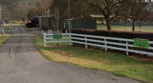
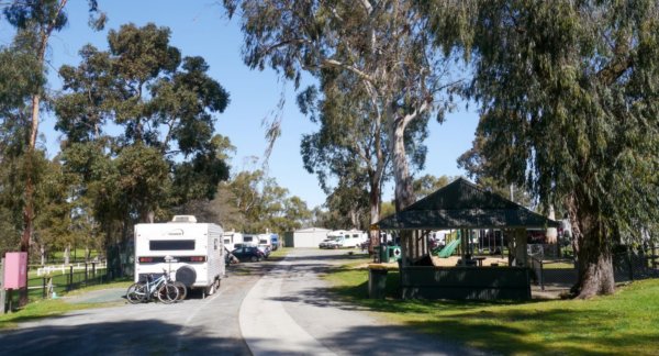
A Market is Held on the 2nd Saturday of Every Month Entrance to Alexandra Showgrounds Caravan Park
, , , , , , , 
The Alexandra Tourist Park is located on the edge of the Alexandra. Pets are allowed here. Entrance to the Alexandra Tourist Park Alexandra Tourist Park location map
, , , , , , , ,
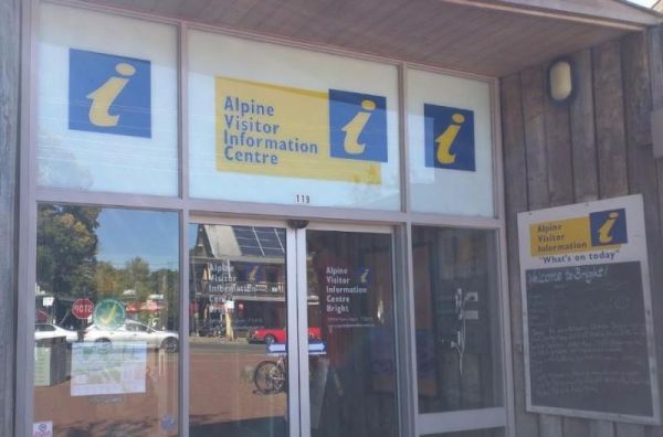
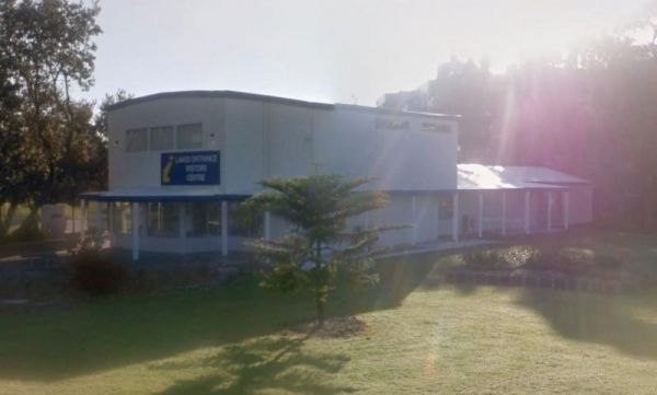
The Alpine Visitor Information Centre is located n the township of Bright and open seven days a week (excluding Christmas day). Entrance to the Alpine Visitor Information Centre Alpine Visitor Information Centre location map
, ,  ,
,  , ,
, ,
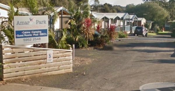
The Amaroo Park located in central Cowes on Phillip Island, is within easy walking distance to Coles and Woolworths, so stocking your larder should be easy. Entrance to the Amaroo Park Amaroo Park location map
, , , , , , ,
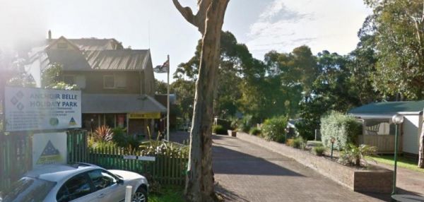
The Anchor Belle Holiday Park is a great spot to base your camp, while you investigate the sights of Phillip Island. Oh and don't forget the caravan park has a heated swimming pool. Entrance to the Anchor Belle Holiday Park Anchor Belle Holiday Park l ...
, , , , ,  , , , , , ,
Andersons Garden Camping Area
The Andersons Garden Camping Area Is now bollarded off so you won't be able to get a camper trailer in to any of the camp spots. So its Tents only and not a lot of car spaces at this popular location. Located in the Mount Disappointment State Forest with ...
Anglers Rest Campground Area
The Anglers Rest Campground remember the Blue duck inn is a short walk so food and beer in walking distance if you forget to bring some or run out. This campsite is a beautiful location to swim, walk, kayak and explore, and can get very busy during public ...
The Anglesea Beachfront Family Caravan Park is spread over a large area, and be aware that their spa is an additional payment exclusive of entry costs. Entrance to the Anglesea Beachfront Family Caravan Park Anglesea Beachfront Family Caravan Park loc ...
,  , ,
, ,  , , , ,
  , , ,
, , ,  ,
,  , ,
, ,  , ,
, ,  ,
,  , ,
, ,  , ,
, , 
The Anglesea Holiday Park BIG4 be sure to check out the indoor heated pool and toddler water park when staying here. Entrance to the Anglesea Holiday Park BIG4 Anglesea Holiday Park BIG4 location map
, , , , ,  , , , , , , ,
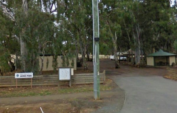
The Anglesea Lions Park Reserve Rest Area has a BBQ with a handy Playground for the kids plus Toilets, and its within easy walking distance to the Anglesea River to catch a meal or watch the boats go by. Entrance to the Anglesea Lions Park Reserve Rest A ...
, , , , ,
The Angusvale Camping Area has drop toilets and is maintained by the Parks dept, there are plenty of camping spots available all on nice grassy areas. The Mitchell River can be used for most water activities. Angusvale Camping Area Angusvale Camping A ...
The Apex Club Caravan Park is a good place to base yourself for exploring many attractions like Phillip Island, Venus Bay etc, all are only a short drive away. Entrance to the Apex Club Caravan Park - Leongatha Apex Club Caravan Park - Leongatha locat ...
, , , , ,
The Apex RiverBeach Holiday Park on the banks of the Murray River, and only 5 minutes away from town so stocking your larder is very easy. Entrance to the Apex RiverBeach Holiday Park Apex RiverBeach Holiday Park location map
, , , , , , , , , ,
Apollo Bay Holiday Park
The Apollo Bay Holiday Park has a heated swimming pool and is only minutes away from the sandy beach. Entrance to the Apollo Bay Holiday Park Apollo Bay Holiday Park location map
, , , , ,
Apollo Bay Information Centre
The Apollo Bay Information Centre is also within easy walking distance to the sandy beach of Apollo Bay. Entrance to the Apollo Bay Information Centre Apollo Bay Information Centre location map
Apollo Bay Pisces Holiday Park Big4
The Apollo Bay Pisces Holiday Park Big4 is a nice location on a hill overlooking the beach and it has a heated pool that is open to 8pm. Entrance to the Apollo Bay Pisces Holiday Park Big4 Apollo Bay Pisces Holiday Park Big4 location map
, , , , , , ,
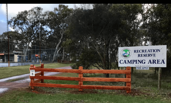
Apollo Bay Recreation Reserve
The Apollo Bay Recreation Reserve is a nice place for people wanting to camp with dogs, there is a beautiful river and access to the beach nearby. Entrance to the Apollo Bay Recreation Reserve Apollo Bay Recreation Reserve location map
, , , , , , ,
Ascot Holiday Park BIG4
The Ascot Holiday Park BIG4 Entrance to the Ascot Holiday Park BIG4 Ascot Holiday Park BIG4 location map
, , , , , , , , , , , , ,  , ,
, ,
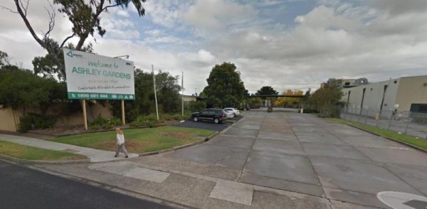
The Ashley Gardens BIG4 is within walking distance to the Highpoint shopping centre. there are no free games in the game room and you will also pay if you want to use the sauna. Entrance to the Ashley Gardens BIG4 Ashley Gardens BIG4 location map
, , , , , , , , ,
The Atkinson Park Rest Area is a well established rest area, you will find a toilet block, undercover BBQs and picnic tables overlooking a small lake. There is plenty of room to park and a few handy rubbish bins as well. Entrance to the Atkinson Park Res ...
, , ,
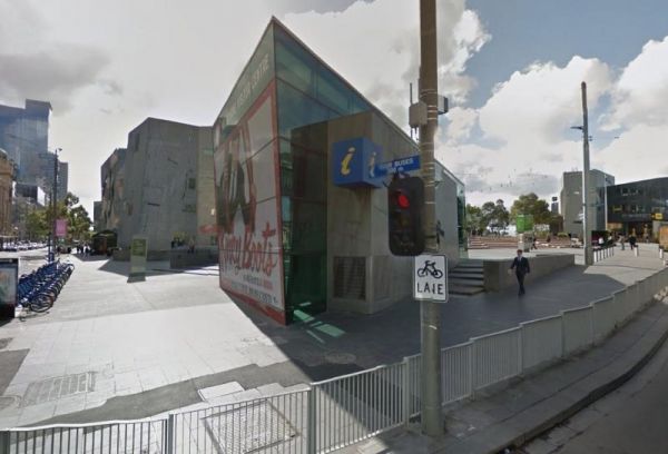
The Australian Visitor Centres is located in Melbourne opposite Flinders Street Railway Station and St Paul's Cathedral, so a few photo opportunities are right on your doorstep. Entrance to the Australian Visitor Centres - Melbourne Australian Visitor ...
,
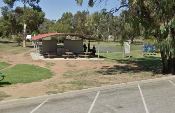
The Avoca Lions Park Free Camping Area, is on the banks of the Avoca River in the heart of the Avoca township. You will find a playground an electric barbecue and a large gazebo with two picnic tables, and a water tap on the side of the gazebo.. On top of ...
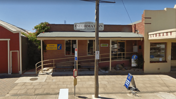
The Avoca Visitor Information Centre located in the business center of Avoca, so you can walk up and down High Street and either window shop, or spend some money. Trading Hours Monday to Friday 9:30am–4:30pm Saturday and Sunday 11am–2pm Entrance to the A ...
,
Avondel Caravan Park
The Avondel Caravan Park is opposite the Calder Highway on the outskirts of Bendigo. An IGA and cafe are also within easy walking distance of this Caravan Park. Entrance to the Avondel Caravan Park Avondel Caravan Park location map
, , , , , , ,
The Aysons Reserve has large grassy areas and is a free campground with flushing toilets located on the Campaspe River, kayaking, fishing or just a swim in the river are all available here. Aysons Reserve location map
, , , ,
The Baileys Rocks Camping Area claim to fame is the world’s largest river red gum named the Bilston’s Tree.Note: No Generators, No Quadcopters and No Dogs permitted here. Entrance to the Baileys Rocks Camping Area Baileys Rocks Camping Area location m ...
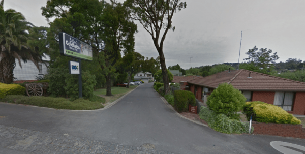
The Ballarat Goldfields Holiday Park Big4 is located not far from Lake Esmond, and the Lake Esmond Botanical Park is worth a visit if you stay at this caravan park. Entrance to the Ballarat Goldfields Holiday Park Big4 Ballarat Goldfields Holiday Park ...
, , , , , , , , , ,
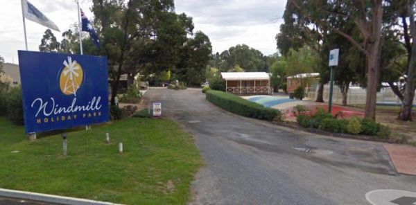
The Ballarat Windmill Holiday Park BIG4 also has a Sauna, Mini Gym, Indoor Sandpit, Exercise Facilities including a treadmill. It's also a short walk to the Winters Swamp, be sure to take your camera with you. There are lots of things to keep you entertai ...
, , , , , , , , , ,
The Balley Hooley - Snowy River National Park is a popular spot with for canoeing. The Buchan River takes you through rugged gorges, and nice sand bars if you want to stop and camp on them. Balley Hooley - Snowy River National Park location map
, , ,
The Balmattum Rest Area is a large asphaled area with plenty of room for semis and the biggest camping rigs. Here you will also find undercover picnic tables and a few rubbish bins, plus a toilet block. Entrance to the Balmattum Rest Area (Northbound) ...
, , , ,
The Barmah Lakes Camping Area on the banks of the Murray River. Several drop toilets onsite. A good place for your canoe and kayak to set off and explore Barmah Lake. Make sure you bring mosquito repellant with you, as they can be a bit of a nuisance at t ...
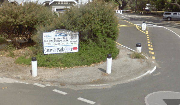
Barwon Heads Caravan Park
The Barwon Heads Caravan Park is very busy during peak holiday periods, so its advisable to pre book so you won't be disappointed. Entrance to the Barwon Heads Caravan Park Barwon Heads Caravan Park location map
, , , , , , ,
The Bass Valley Reserve Rest Area. This is a nice spot with quite a bit of room to park your caravan. There is an onsite toilet, and a few picnic tables set among the gum trees. THE LOCAL COUNCIL HAS PERMANENTLY CLOSED THIS REST AREA Entrance to the ...
, , ,
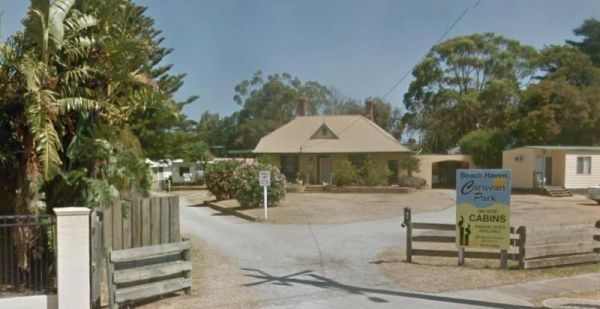
The Beach Haven Caravan Park is not far from the Phillip Island Bridge. You can walk to the Fishermans Co-Op and get some fresh fish and chips, or Crayfish and Prawns if you prefer. Entrance to the Beach Haven Caravan Park Beach Haven Caravan Park loc ...
, ,
The Beach Park Tourist Caravan Park is close to the Beach, you might also get to see a few possums and wallabies right next to your campsite if your lucky. Entrance to the Beach Park Tourist Caravan Park Beach Park Tourist Caravan Park location map
, , , , , , , , ,
Beacon Resort BIG4
The Beacon Resort BIG4 lots of things for the children to be kept bury with, they even have a kids club where they can participate in many activities. Entrance to the Beacon Resort BIG4 Beacon Resort BIG4 location map
, , , , , , , , , , , , ,
Bear Gully Reserve Camping Area
The Bear Gully Reserve Camping Area is a bit on the pricy side for the amenities it offers. There are some new picnic tables right on the beach. The beach itself is not for swimming but more for shell collecting, rock pool exploring and relaxing. Bear Gu ...
Beechworth Holiday Park
The Beechworth Holiday Park is just a 2km easy walk along a bush track to town, and a 3km gentle walk to a lake for those who like beautiful scenery.Beechworth itself is a well preserved gold town Entrance to the Beechworth Holiday Park Beechworth Hol ...
, , , , , , , , , , ,
Beechworth Lake Sambell Caravan Park
Entrance to the Beechworth Lake Sambell Caravan Park Beechworth Lake Sambell Caravan Park location map
, , , , , , , , , , , ,
Beechworth Visitor Information Centre
The Beechworth Visitor Information Centre is located in the historic gold mining heart of Beechworth. Here you will gain a lot of knowledge of things to do, and places to visit, and your in for a real treat if you are looking for information about Ned Kel ...
,
Bellarine Holiday Park BIG4
The Bellarine Holiday Park BIG4 is well maintained with generous sites allocated to camping. there are plenty of activities to keep the kids occupied, and there is a bmx track and a flying fox , an undercover swimming pool, along with a shaded playground ...
, , , , , , , , , , , ,
Bellbird Creek Rest Area
The Bellbird Creek Rest Area is next to the Bellbird Hotel, so you can pop in for a counter lunch, and cold beverage while your taking a short break from driving. Entrance to the Bellbird Creek Rest Area Bellbird Creek Rest Area location map
,
Bemm River Caravan Park
The Bemm River Caravan Park is a nice spot to have a base camp if you like fishing or simply relaxing, They have installed new amenities block, so everything is spotless, and you can bring your pet along with you when you camp here. You are also within wa ...
The Benalla North Truck Parking Rest Area Northbound is a large area suitable for all sized rigs. There are toilets onsite and undercover picnic tables, also a few rubbish bins here and there. Entrance to the Benalla North Truck Parking Rest Area (Northb ...
, , ,
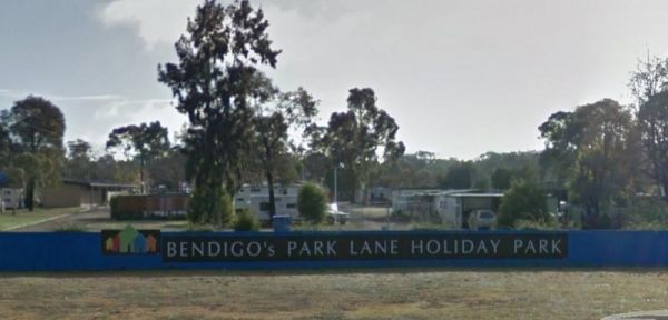
Bendigo Park Lane Holiday Park is reasonably level for camping and has lots of activities for the kids. They have an indoor play centre which is fantastic for the kids, and there is even a movie night for them. Entrance to the Bendigo Park Lane Holiday P ...
, , , , , , , , , , , , , ,
The Bentley Plain Camping Area is a small camping area complete with a toilet, and trees for shade, its not far to the Moscow Villa Hut as a guide to find this campsite. Entrance to the Bentley Plain Camping Area Bentley Plain Camping Area location ma ...
,
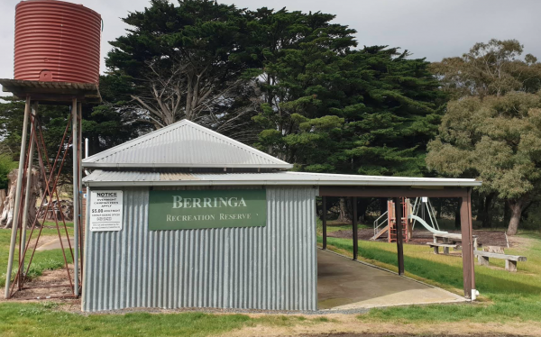
Entrance to Berringa Recreation Reserve
, , ,
Berriwillock Tynan Park Rest Area
The Berriwillock Tynan Park Rest Area is next to a large grain store located next a railway track.This is a very large gravel area, and its worth a stop to take a photo of the grainery, and a visit to the local pub. Plus there is a public toilet next to t ...
, ,
Best Friend Holiday Retreat
Best Friend Holiday Retreat is closed between May, to mid-September, each year. A campsite that is truly dog friendly Entrance to the Best Friend Holiday Retreat Best Friend Holiday Retreat location map
, , , , ,
The local general store and Bethanga Pub is open from Wednesday to Sunday for counter lunch/tea. There is also an onsite Pizza Oven for campers use. Leave money in the honesty box at the gate
, , , ,
The Big River Camping Area has a drop toilet, with plenty of places to set up a campsite close to the river, there a are a few spots for swimming also. This is a fairly basic fee campsite with beautiful surroundings. Big River Camping Area location map
The Big Toms Beach Camping Area has plenty of room for quite a few caravans, and located next to a large sandy beach which is good for swimming. Big Toms Beach Camping Area location map
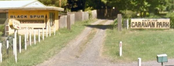
Black Spur Motel & Caravan Park
The Black Spur Motel & Caravan Park is a quiet spot in an old growth forest, its a nice place to bring your dog for a day to relax. Entrance to the Black Spur Motel & Caravan Park Black Spur Motel & Caravan Park location map
, , , , , ,
Blackbird Hut (Kelly's Hut) Campground
The Pickerings Flat Camping Area is a large grassy area with plenty of camp sites. There is a historic cattleman's hut onsite, and it's being used by Parks Victoria, as a base to maintain other huts in the area. Also you can find A few Old Mines in the ar ...
Th Blackwood Mineral Springs Caravan Park is located opposite the mineral springs. You can fill your water bottles for free. A nice older style park with clean facilities set amongst tall trees. Entrance to the Blackwood Mineral Springs Caravan Park B ...
, , , , ,
The Blanket Bay Camping Area has some nice private camping spots and once your settled in, you can go explore some of the rock pools, and maybe try your hand at catching a fish or two. Note: During the Summer and Easter holidays, all campsites are allocat ...
, , ,
The Blind Joe Creek Rest Area is a No Camping area. There is a toilet onsite and a few rubbish bins, also there is plenty of room to maneuver your caravan or motorhome. For those who like to fish small creeks, don't waste your time here, the creek often r ...
, , ,
Blue Pools Camping Area
Blue Pools Camping Area is on the banks of the Freestone Creek. There are good swimming pools if you go for a walk along the tracks. Blue Pools Camping Area location map
Blue Range Creek Camping Area
Blue Range Creek Camping Area is a relatively quiet spot to camp and is 20 min from Mansfield.Its set amongst tall gum trees that offer shade in summer. I wouldn't rely on the creek for water, so make sure you bring drinking water with you. Blue Range Cr ...
The Bluegums Riverside Holiday Park has had quite a few improvements, such as the the bouncing pillow area for the kids has been revamped. You need to bring your own drinking water or be prepared to boil water from the tap, its directly supplied from the ...
, , , , , , , , , , ,
The Bluff Creek Camping Area Can be hot and dry in summer, with a seasonal creek, bring water with you to be on the safe side. The bluff falls is approximately 2km from this campsite. There are 5 camp site and 3 fireplaces. Bluff Creek Camping Area locat ...
Bluff Hut Camping Area
The Bluff Hut Camping Area the hut itself is in very good condition, with a fireplace and a large table inside. Plus you'll find a Long drop toilet. The hut is accessed by car based campers in summer, or extreme hikers in winter as this area gets snow. ...
,
The Boort Lakes Caravan Park has waterfront powered and unpowered sites available. You are also within walking distance to the local shops and restaurants, plus plenty of onsite activities for the kids. Entrance to the Boort Lakes Holiday Park Boort L ...
, , ,  , ,
, ,  , , , , , , , , , , ,
Entrance to Boort Showgrounds
, , , ,
The Borderland Caravan Park BIG4 its Pool has a sun shade sail which is a nice addition. This caravan park is directly on the Hume Highway so you might hear a bit of noise at night if your in a tent. Entrance to the Borderland Caravan Park BIG4 Border ...
, , , , , , , , , , , , , , , , , ,
The Boreang Camping Area is approximately a 10min drive on a dirt road to get there, you will find 2 toilets and a rainwater tank, but bring your own water just incase the tank is empty. Boreang Camping Area location map
Boundary Bend East Park Rest Area
Boundary Bend East Park Rest Area has a toilet and is on the banks of the Murray River. Along with picnic tables and BBQ's it's not a bad spot to pull over and take a break from driving. Entrance to the Boundary Bend East Park Rest Area Boundary Bend ...
, , ,
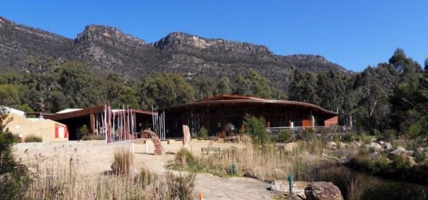
The Brambuk the National Park & Cultural Centre is a fascinating place to visit and learn about the culture and history of the indigenous Australians who lived in the area. There is a Cafe onsite, and some of its menu items include, Kangaroo, Emu, Cro ...
Branxholme Rest Area
The Branxholme Rest Area is an ideal rest area, with excellent shady areas on the highway. The shady parking bay on the highway has been developed as a commemorative area for soldiers lost during Work War One. Byaduk is home to the magnificent Byaduk cave ...
, , ,
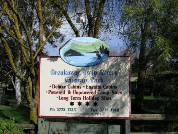
The Breakaway Twin Rivers Caravan Park facilities are getting a bit old, but very clean nonetheless and is a beautiful place to relax on the Goulburn river for all you fishing enthusiasts. Breakaway Twin Rivers Caravan Park location map
, , , , , , , , , ,
Bridgewater on Loddon Rest Area
The Bridgewater on Loddon Rest Area has a public toilet, and plenty of room to park your camping rigs. Entrance to the Bridgewater on Loddon Rest Area Bridgewater on Loddon Rest Area location map
, , ,
Bridgewater on Loddon Tourist Park
The Bridgewater on Loddon Tourist Park has only 6 female toilets & 4 showers for the whole park, so peak season it might get a bit stretched. However its short walk to good pub and the location is really nice, appart from the Hundred of screeching Cor ...
, , , , , , , ,
The Bright Accommodation Park has free wifi, and a swimming pool, but is fairly close to the Great Alpine Road, so a bit of tyre noise might be heard if your tent camping. Entrance to the Bright Accommodation Park Bright Accommodation Park location ma ...
, , , , , , , , , ,
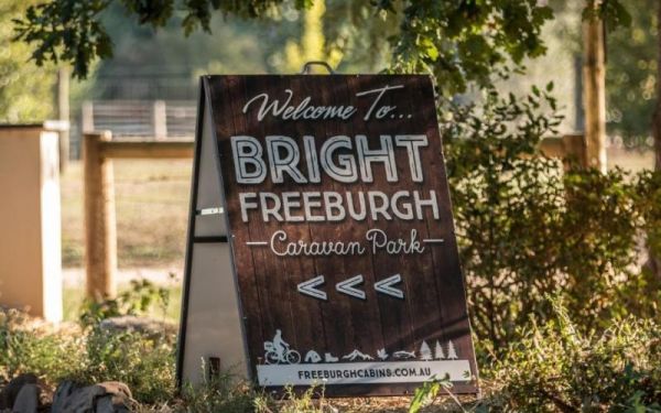
Entrance to the Bright Freeburgh Caravan Park Bright Freeburgh Caravan Park location map
, , , , , , , , , , , ,
The Bright Pine Valley Tourist Park has a swimming pool slide and toddler area. Lots of big trees which provide plenty of shade. This caravan park is just a short walk from town. Entrance to the Bright Pine Valley Tourist Park Bright Pine Valley Touri ...
, , , , , , , , , , , , ,
The Bright Riverside Holiday Park is located on right the banks of the Ovens River, with plenty of powered and unpowered sites with riverfront views, the only drawback is it close proximity to HT power lines buzzing overhead. Entrance to the Bright River ...
, , , , , , , ,
The Brodies Corner Camping Area is a great spot on the bank of Rocklands Reservoir. It is a large secluded camping ground, with easy access for cars. There are plenty of fishing spots and a boat ramp plus Toilets make this a pleasant spot to camp. Brodie ...
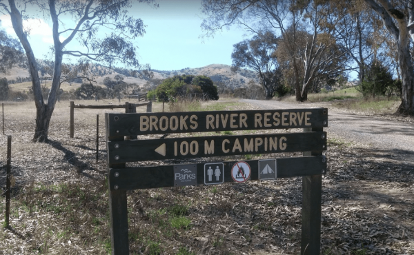
The Brooks River Reserve Camping Area is a lovely spot with a Long drop toilet and easy access to the Goulburn River for those interested in water activities. Brooks River Reserve Camping Area location map
Buckety Plain Camping Area location map
, ,
Budj Bim Campground is located in the Mount Eccles National Park. Mount Eccles is located inside the national park and is the site of the most recent active volcano in Australia approximately 8000 years ago. Budj Bim Campground location map
,
Site is seasonal due to weather conditions, open till end of May. Must book in advance before arriving. Entrance to Bunyip Recreation Reserve
, , , , ,
The Burnt Bridge Camping Area can be reached with a conventional two wheel drive. car, and once there, you will have easy access to the river. These camping grounds only one drop toilet located in the centre of the site and best suited to vehicle based ca ...
The Buttercup Creek Camping Area has 5 separate Campgrounds in total. The camping areas available range fro 2 to 20 separate camps at each location. You will be able use you 4x4 around your base camp, or enjoy some bush walking along the numerous tracks f ...
Calder Inbound Rest Area Southbound Only
The Calder Inbound Rest Area Southbound Only is a convenient stop for a short break on a long drive heading into Melbourne. Here you can fuel up your vehicle and get some food for yourself. Entrance to the Calder Inbound Rest Area Southbound Only Cald ...
, ,
Calder Outbound Rest Area Northbound Only
The Calder Outbound Rest Area Northbound Only, the fuel prices seem to be always higher than other fuel stops on your way to Bendigo. Showers also on site and public restrooms. Entrance to the Calder Outbound Rest Area Northbound Only Calder Outbound ...
, ,
The Calder Tourist Park is near the heart of Mildura, so it's a great caravan park to set up base to explore the Riverland district from. Entrance to the Calder Tourist Park Calder Tourist Park location map
, , , , , , , , ,
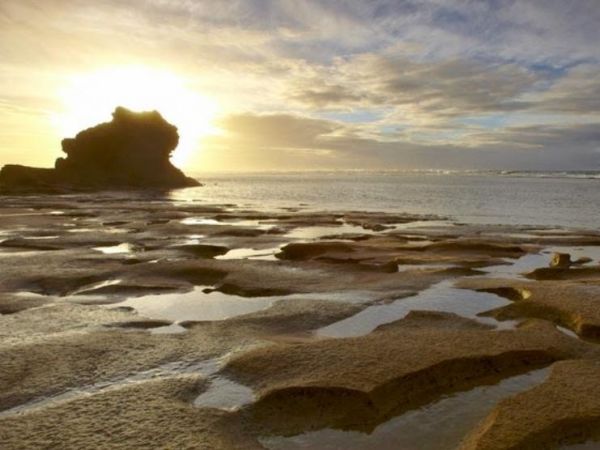
Cape Conran Coastal Park
The Cape Conran Coastal Park is closed Due to a fire within the Cape Conran Coastal Park, all areas of the park except the East Cape and West Cape day visitor areas are closed until further notice. Entrance to the Cape Conran Coastal Park Cape Conran ...
, , ,
Cape Liptrap - Bear Gully
The Cape Liptrap - Bear Gully has 35 sites available and most have shared fireplaces. Smaller Caravans should be OK with access, but its best suited to vehicle based camping. Cape Liptrap - Bear Gully location map
, ,
Cape Paterson Foreshore Caravan Park
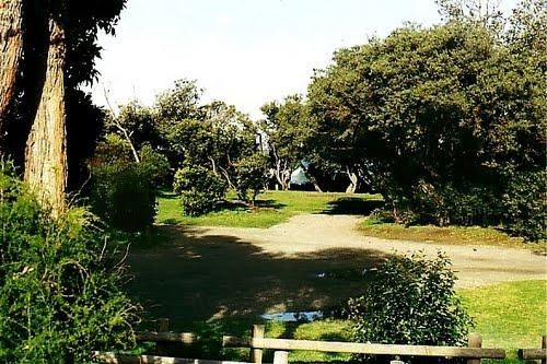
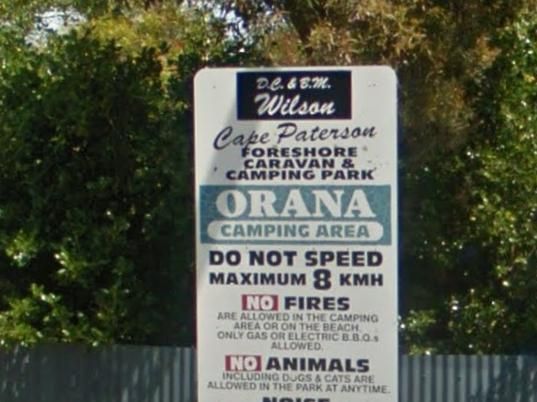
The Cape Paterson Foreshore Caravan Park has 100+ powered sites available in the Orana and Kywong camping areas. Entrance to the Cape Paterson Foreshore Caravan Park Cape Paterson Foreshore Caravan Park location map
, , , , , , , , ,
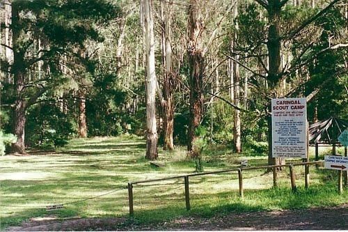
The Caringal Scout Camp - Tanjil Tyers State Forest and located approximately 9km from Erica and the creeks have a plentiful supply of fish. This camping area is Open to the public year round for camping and day access. Caringal Scout Camp - Tanjil Tyers ...
, ,
Carrum Downs Holiday Park
The Carrum Downs Holiday Park has Clean Amenities blocks and good kitchen. Some concrete slabs are tilted, so you will need to level your van. Local shops and Pub are approximately 3Km from campsite. Entrance to the Carrum Downs Holiday Park Carrum Do ...
, , , , , , , , ,
The Carters Mill Camping Area is next to Plain Creek, here you have a few picnic tables, some with water views, a pit toilet, and a few fire pits scattered around. A normal car can easily get here in summer. Camping spots are mostly on gentle slopes, and ...
Castlemaine Central Cabin Van Park
The Castlemaine Central Cabin Van Park is an older style park, but well maintained. You are also within easy walking distance to the town centre. Entrance to the Castlemaine Central Cabin Van Park Castlemaine Central Cabin Van Park location map
, , , ,
Castlemaine Gardens Caravan Park
The Castlemaine Gardens Caravan Park is next to Lake Johanna. Although there is no onsite swimming pool, the local swimming pool is right next door. For caravans wanting to pull out there awnings, the sites are a bit squeezy. But you can't fault the camps ...
, , , , , , , , , , , , ,
Castlemaine Visitor Information Centre
The Castlemaine Visitor Information Centre has a ramp access out the back, so this makes access really easy for those of needing to use wheelchairs. Once your inside you'll see plenty of maps, some artwork and local wares to purchase plus a range of souve ...
,
The Cavendish Recreation Reserve Camping is a very inexpensive camping spot. You have Hot showers, tennis court and a football oval There is an amenities block onsite and just a short walk to the Wannon River for fishing and camera enthusiasts. Contact 0 ...
Central Goldfields Visitor Information Centre
The Central Goldfields Visitor Information Centre in the heart of Maryborough, parking with a caravan hitched is a big problem, so you will need to park some distance away and walk it. Open Hours: 9.00am to 5.00pm everyday Entrance to the Central Goldfie ...
,
Chaffe Creek Camping Ground
Chaffe Creek Camping Ground has drop toilets onsite. This camping area is a bit more open than a few others close to this location. You can catch a fish dinner if you try hard enough. Chaffe Creek Camping Ground location map
The Cherrypool Park Rest Area is next to Cherrypool waterhole on the Glenelg River. There are toilets here and a wash basin and tap. Also plenty of room to maneuver with your caravan attached. This park has a few entrances and the picnic tables are locate ...
, , ,
The Chiltern Park Rest Area has separate truck parking bays, so please respect them by not causing problems for the truckies who use this site. Entrance to the Chiltern - Ironbark Rest Area Chiltern - Ironbark Rest Area location
, , ,
The Clunes Caravan Park is walking distance to a beautiful historic township of Clunes. The caravan park doesn't have access to the creek running along its rear border, but it's easy walking distance to the supermarket, pub and other shops. Entrance to t ...
, , , , , , ,
The Coach Road Rest Area has separate parking bays for caravans and trucks, plus some undercover picnic tables & seating. This rest area is set back a short distance from the freeway. Entrance to the Coach Road Rest Area Coach Road Rest Area locat ...
, , ,
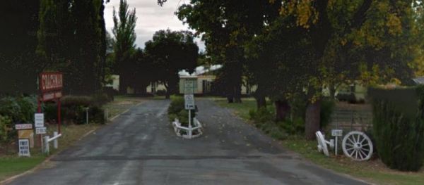
The Coachman Tourist Park is an older style park and is pet friendly. The IGA Supermarket is around the 800 meter mark from this caravan park so it's a 1.6km for return walk or use your car. Entrance to the Coachman Tourist Park Coachman Tourist Park ...
, , , , , , , , , ,
The Coalfields Caravan Park is on the outskirts of Wonthaggi and has a lot of long term residents. There are spaces provided for caravans and campers alike, so you can camp and explore the surrounding area. Entrance to the Coalfields Caravan Park Coal ...
, , , , , , , , ,
The Cobram East Caravan Park has plenty of grass camping sites. From here you can go fishing, or have a day touring the local wineries. Entrance the the Cobram East Caravan Park Cobram East Caravan Park location map
, , , , , , , , , , ,
The Cobram Willows Caravan Park is close to the highway so there can be some noise from passing vehicles. Entrance to the Cobram Willows Caravan Park Cobram Willows Caravan Park location map
, , , , , , , , , , ,

Cobrawonga Island Camping Area
The Cobrawonga Island Camping Area is on the Banks of the Murray River, with a few shaded campsites available. Toilets are onsite, no rubbish bins, and plenty of opportunities to catch a fish dinner. Cobrawonga Island Camping Area location map
The Cohuna Gateway to Gannawarra Visitor Centre backs onto the Gunbower Creek. Cohuna township is nicely set up for RV free camping in the town centre, its for fully self contained caravans and motorhomes only. There is a RV dump site opposite the caravan ...
, , ,
The Cohuna Waterfront Holiday Park is right on the bank of Gunbower Creek, here you can camp right next to the water. The park is also within walking distance to town center that has everything you need to make your campsite pleasant. Entrance to the Coh ...
, , , , , , , , , , , , , , , , ,
Entrance to Colac Central Showground Caravan Park
, , , , , , ,
Colac Colac Caravan Park
The Colac Colac Caravan Park a beautiful setting for camping with plenty of big shady trees with Corryong Creek running through it with safe waters for all ages to play in, there are also deeper holes for fishing plus good size camping sites. This is a ve ...
, , , , , , , , , ,
Collendina Caravan Park
The Collendina Caravan Park is close to the beach, and has a full size basketball court and footy oval to keep the kids active. Entrance to the Collendina Caravan Park Collendina Caravan Park location map
, , , , , , , ,
Coopers Creek Reserve Campground
To get to Coopers Creek Campground on the banks of the Thomson River. Follow the Walhalla Road and turn onto Coopers Creek Road, its approximately another 2.4kms of dirt road to Campground. Note: there are 2 Campsites in the area. Coopers Creek Camping Ar ...
Camping in tents is allowed. Entrance to Corindhap Recreation Reserve
, , ,
Entrance to the Corryong Park Rest Area Corryong Park Rest Area location map
, ,
The Cotton Tree Creek Camping Area is a peaceful spot amongst tall trees for shade. Follow Webb Lane and turn onto Bridle Track, the campground is about 100 metres down the track. For those of you who enjoy short walks the Granya Falls (seasonal waterfall ...
, ,
The Cowes Caravan Park backs onto Western Port Bay and pets are allowed (camping sites only) during non holiday and off peak seasons only. So it pays to check first, before going there with your pet and missing out. Entrance to the Cowes Caravan Park ...
, , , , , , , ,
CRB Camping Area
The CRB Camping Area is a large free camping ground next to the Cobungra River is on your doorstep, so have a go at fishing or swimming, and for the more adventurous grab your kayak and navigate upstream for a bit. CRB Camping Area location map
The Creswick Calembeen Lake Caravan Park is a very well-shaded sites and Creswick itself is a leisurely stroll with lovely old buildings and a good market on the weekend. Entrance to the Creswick Calembeen Lake Caravan Park Creswick Calembeen Lake Car ...
, , , , , , , ,
Crystal Brook Holiday Centre
If you stay at Crystal Brook Holiday Centre you should be able to see kangaroos, emus and an occasional deer. The caravan sites are a bit on the small side and not all clearly marked. This park can get very busy during public holidays. Entrance to the Cr ...
, , , , , , , , , , , , ,
The Cumberland River Holiday Park has a freshwater stream, a beach (unpatroled), and great bush walks. But Hot showers cost extra, and campsites can get a bit windy, so make sure you have the tent pegs well secured. Note This caravan park doesn't have any ...
, , , , ,
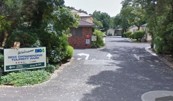
Dandenong Tourist Park Big4
The Dandenong Tourist Park Big4 some of the caravan sites are a bit tight to back into. This caravan park is a smaller park, but its clean and tidy, and surprisingly quite. Entrance to the Dandenong Tourist Park Big4 Dandenong Tourist Park Big4 locat ...
, , , , , , , , , , , ,
Dando's Camping Area
The Dando's Camping Area is a good spacious free camping ground, with over 100 campsites to choose from, and plenty of flat ground for tents and campers. There are drop toilets available. This campsite is near the Gellibrand River and set amongst tall tre ...
Dargo – Two Mile Creek camping ground
The Two Mile Creek camping ground is not far from Italian Flat Campground, and near the junction of Dargo River and Two Mile Creek. Dargo – Two Mile Creek camping ground location map
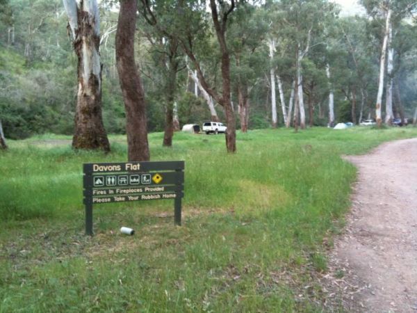
Davons Flat Camping Area
The Davons Flat Camping Area on the banks of the Howqua River and has large open area with lots of shade to camp for a day or two. This area was used for gold mining, so if you're lucky you might come across some of the Old Timers diggings. Davons Flat C ...
Daylesford Victoria Caravan Park
The Daylesford Victoria Caravan Park is an older style park and relatively close to Daylesford town center. This caravan park has plenty of established trees, and the amenities blocks are nice and clean. Entrance to the Daylesford Victoria Caravan Park ...
, , , , , , , ,
Deep Lake Recreation Reserve
Entrance to Deep Lake Recreation Reserve
, , , , , ,
The Delegate River Camping Area is as the name suggests, is next to the Delegate River, so don't forget your fishing gear and camera when camping here. Delegate River Camping Area location map
Derrinallum Recreation Reserve Rest Area
The Derrinallum Recreation Reserve Rest Area is a free camp for 24 Hours only. There are a few trees for shade, rubbish bins, a toilet block, and playground onsite. This is also a dog friendly stopover. Be sure to spend some money in town to help fund the ...
, , , ,
You must be fully self contained to camp here. The Wimmera River is within easy walking distance. There are plenty of drive through sites, and its an easy walk to pub and main street. Entrance to Dimboola Recreation Reserve
, , , ,
Entrance to the Dimboola Riverside Caravan Park Dimboola Riverside Caravan Park location map
, , , , , , , ,
The Ditchfield Camping Area is spread over a decent area, so plenty of tent sites available, and there is a hut onsite with a fireplace with a long table and seating. Ditchfield Camping Area location map
, , ,
The Donald Lakeside Caravan Park is a beautiful lakeside area with large sites and very clean amenities. There is an honesty box, and the caretaker drops in daily to collect for powered sites. Entrance to the Donald Lakeside Caravan Park Donald Lakesi ...
, , , , , , , ,
Doon Reserve Caravan Park
The Doon Reserve Caravan Park is an Older style caravan park and has a nice playground for the kids, clean amenities and is on the banks of the Yarra River. So remember to take something to float down the river on an inflatable craft. Entrance to the Don ...
, , , , , , , , ,
Entrance to the Dromana Holiday & Lifestyle Village Dromana Holiday & Lifestyle Village location map
, , , , , , , , , ,
Entrance to the Dunolly Caravan Park Dunolly Caravan Park location map
, , , , ,
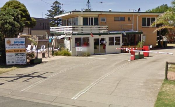
Dylene Caravan Park
Entrance to the Dylene Caravan Park Dylene Caravan Park location map
, , , , , , , , , , , ,
Eagle Point Caravan Park
Entrance to the Eagle Point Caravan Park Eagle Point Caravan Park location map
, , , , , , , , ,
Echo Beach Tourist Park
Entrance to the Echo Beach Tourist Park Echo Beach Tourist Park location map
, , , , , , , , , , , ,
Entrance to the Echuca Discovery Parks Echuca Discovery Parks location map
, , , , , , , , , , , , , ,
Entrance to the NRMA Echuca Holiday Park NRMA Echuca Holiday Park location map
, , , , , , , , , , , , ,
Entrance to the Edenhope Lakeside Tourist Park Edenhope Lakeside Tourist Park location map
, , , , , , , , , , , ,
Edi Cutting Camping Area has large grassy campsites suitable for tents and caravans. There are drop toilets and the the King River runs alongside your camping area, the river is mostly shallow but is fast moving so keep an eye out for the little ones if t ...
Entrance to the Eildon Pondage Holiday Park Eildon Pondage Holiday Park location map
, , , , , , , , , , , , ,
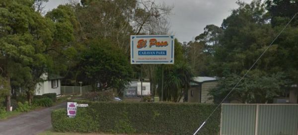
Entrnce to the El-Paso Caravan Park El-Paso Caravan Park location map
, , , , , ,
Entrance to Elmhurst Recreation Reserve
, , , , ,
Emu Bight Camping Area - The Lakes National Park
Emu Bight Camping Area - The Lakes National Park has toilets, this campsite has a few rain water taps, a nice sandy beach, only downside is there are only two fire pits for the campground. Emu Bight Camping Area - The Lakes National Park location map
, , ,
Entrance to the Erica Caravan Park Erica Caravan Park location map
, , , , , ,
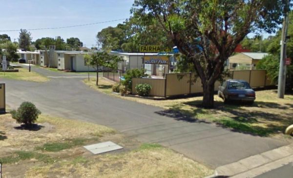
Fairhaven Family Holiday Park
Entrance to the Fairhaven Family Holiday Park Fairhaven Family Holiday Park location map
, , , ,
The Ferntree Camping Ground has 5 suitable campsites on mostly uneven ground, each camp has its own fireplace and picnic table. It's a short hike to the Ferntree Waterfalls, and take your camera as always. Contact Parks Victoria for Online Bookings Entr ...
,
FigTree Holiday Village
Entrance to the FigTree Holiday Village FigTree Holiday Village location map
, , , , , , , , , , , ,
Firth Park Camping Area
The Firth Park Camping Area has 4 long drop toilets and fire places with swivel BBQ plates, and plenty of shady spots for you to pitch a tent or bring your campervan. Firth Park Camping Area location map
, , ,
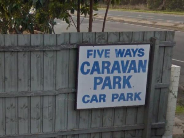
FiveWays Caravan Park
Entrance to the FiveWays Caravan Park FiveWays Caravan Park location map
, , , , ,
The Franklin River Reserve has good clean toilets and located next to the Franklin River. There is an information pavillion onsite also. This site can be closed in wet weather, due to vehicles getting bogged. Entrance to the Franklin River Reserve Campgr ...
, , , , ,
The Frankston Visitor Centre has quite a few brochures available for Frankston, the Peninsula, and other regions of Victoria. It's worth a stop to check out what to see while in the area.NOTE: Parking is not free. Entrance to the Frankston Visitor Inform ...
, , , , ,
The Frenchmans Creek Camping Area is next to the Big River, and the campsites are better suited to vehicle based camping rather than caravans. I'd recommend a 4x4 incase it rains. Frenchmans Creek Camping Area location map
Frys Flat Camping Area
Frys Flat Camping Area has a some predefined fireplaces, and a few long drop toilets, plus plenty of room to camp on fairly level ground. You also have the Howqua River close to where you camp. This site does get busy during holidays. The Howqua Hills His ...
Gang Gang Gully Camping Area is on the bank of the Big River with a drop toilet and fire pits to make your stay enjoyable. You will need to take your rubbish with you when you leave. Gang Gang Gully Camping Area location map
Entrance to the Geelong Discovery Park Geelong Discovery Park location map
, , , , , , , , , ,
Geelong Showgrounds Campground
Entrance to Geelong Showgrounds Campground
, , , , ,
Entrance to the Geelong Visitor Information Centre Geelong Visitor Information Centre location map
,
The Genoa Rest Area is a nice peaceful spot to stop for a few days, there is a maximum of 72 Hours stopover. This campsite has toilets and cold showers, and is located next to the Genoa River. Please consider leaving a donation onsite to help maintain thi ...
, , , , , ,
A donation box located in showers/toilets block. Note: Grounds are NOT available on the full weekend of the 2nd Sunday of every month due to large onsite markets. Entrance to Girgarre Public Park
, , , , , , ,
The Gisborne North Bound Rest Area has plenty of room to park for all sized rigs. Toilets are onsite and a few rubbish bins and picnic tables make this a good spot to pull over and take a break from driving. Entrance to the Gisborne Northbound Rest Area ...
, , ,
When nature calls the Gisborne Southbound Rest Area is perhaps not for first port of call, but if you can't wait its a spot to pull over. Entrance to the Gisborne Southbound Rest Area Gisborne Southbound Rest Area location map
, , ,
The tap water source is a mineral spring, so using a water filter improves the taste.
, , , , ,
Glenpatrick Recreation Reserve
The Glenpatrick Recreation Reserve will be closed until further notice to allow for restoration of buildings and the removal of 3 trees and pruning of the remaining 100 year old commemorative pine trees. Entrance to the Glenpatrick Recreation Reserve ...
, , ,
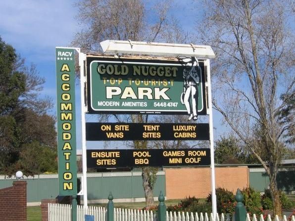
Entrance to the Gold Nugget Tourist Park Gold Nugget Tourist Park location map
, , , , , , , , , , , , , , ,
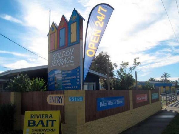
Golden Terrace Caravan Park
Entrance to the Golden Terrace Caravan Park Golden Terrace Caravan Park location map
, , , , , , , ,
GoLightly Park Caravan & Camping
Entrance to the GoLightly Park Caravan & Camping GoLightly Park Caravan & Camping location map
, , ,
Entrance to Goroke Accommodation Park
, , , , , ,
Goughs Bay Caravan Park
Goughs Bay Caravan Park location map
, , , , , , ,
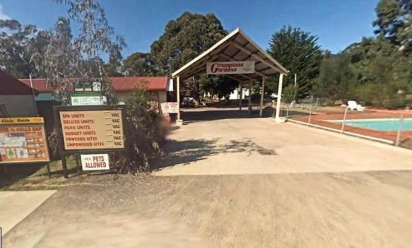
Grampians Paradise Camping Caravan Parkland location map
, , ,
The Granny's Flat Camping Area has a drop toilet, and plenty of camping spots available close to the Jamison River. This camping spot gets very busy and noisy during holiday periods. Aerial view of Grannys Flat Camping Area Grannys Flat Camping Area l ...
Grantville - Picnic BBQ Area
The Grantville - Picnic BBQ Area has a large area next to the jetty for parking any sized caravan. Flushing toilets are located here as well. If you want to fish at low tide from the jetty, you will need to rethink this, as low tide will reveal extensive ...
, , , , , ,
The Grass Trees Rest Area Northbound has plenty of parking for all sized rigs. Undercover bbqs and picnic tables with tank water, Public toilets, and rubbish bins. There is also a short looping walking track of approx 0.6km to show the local indigenous Gr ...
, , , ,
Great Western Racing & Recreation Reserve
There are two main areas to camp a night or two. Showers are coin operated. Entrance to Great Western Racing & Recreation Reserve
, , , , , ,
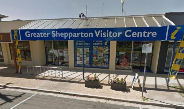
Greater Shepparton Visitor Centre
The Greater Shepparton Visitor Centre features Painted Cows as a theme. There is free WiFy 24 hours a day and normally there's plenty of parking out the front of the visitor centre. Here you will find very friendly and knowledgable staff to help you find ...
,
Green Bank Camping Area
The Green Bank Camping Area is a rough bush camp next to the Murray River. To get there follow Cullens Road, then Loop Track to find a suitable camping spot. Green Bank Camping Area Green Bank Camping Area location map
The Green Hill Lake Camping Area is a delightful setting, with plenty of shade, and lots of unmarked camping spots. There is a dump point near the entrance to the camping grounds, public toilets, hot showers, undercover playground for the children plus an ...
, , , , , , , , ,
The Green Lake Regional Park Camping Area The main turn for this campsite is easy to miss, use the GPS cordance. Its located 10km from Sea Lake along the road to Birchip Entrance to the Green Lake Regional Park Camping Area Green Lake Regional Park C ...
, , , ,
The Greenhill Lake Water Reserve Camp Area is very busy on long weekends and school holidays. There is a Boat Launching Ramp available, You can ride your bike around the lake or launch a Canoe, Swimming might be a problem depending on Algae Bloom. Note: C ...
, , , , ,
The Greens Camping Area is a basic bush camp. Clean and tidy and perfect get away and enjoy peace and quiet. Fossicking for Gold is on the list when you visit here, with lots of interesting relics to be seen and captured with your camera. Greens Camping ...
,
The Greens Lake Recreation Area has a Boat Launching Ramp BUT that means very little if there is a drought, as the lake is very shallow and dries up, Greens Lake Recreation Area location map
, , , , ,
Gumbuya Rest Area
The Gumbuya Rest Area is opposite Rankins Nursery, You could pop into Gumbuya Park while your in the Area, You will pass it on your way to the Gumbuya Rest Area Entrance to the Gumbuya Rest Area Gumbuya Rest Area location map
, ,
The Gunbower Park Rest Area has toilet facilities and is next to the Gunbower Creek.So why not take a stroll and check it out, or drop your kayak in for a better look.There is also a children's playground right next to the toilets to keep the kids amused. ...
, , , , ,
Entrance to Gunbower Recreational Reserve
, , ,
Your campsite donation can be paid at the local store using the envelopes provided. There are low cost coin showers available. Entrance to Haddon Lions Park
, , , , , , , ,
Entrance to the Halls Gap Gardens Caravan Park Halls Gap Gardens Caravan Park location map
, , , , , , , , , ,
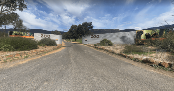
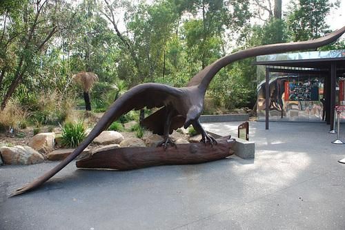
The Halls Gap Zoo Halls Gap Zoo is a 25 acre zoo located about 7 km from Halls Gap, Victoria, it is also Victoria's largest regional zoo. Here you will find over 160 different native and exotic species of animals and birds, and rescued wildlife.{tab title ...
,
Hamilton & Grampians Visitor Information Centre has plenty of information available, clean, well laid out and friendly staff. Entrance to the Hamilton & Grampians Visitor Information Centre Hamilton & Grampians Visitor Information Centre l ...
,
Hammonds Road Camping Area
The Hammonds Road Camping Area has 6 sites suitable for campervans but plenty of spots for Tents. There is abundant wildlife, drop toilets, fire pits and picnic tables around. This camping ground gets very busy during holidays, so it's best to get here ea ...
,
Happy Jacks Recreation Reserve
The Happy Jacks Recreation Reserve has the Bullock Creek just behind the reserve if you want to check it out with your camera. Entrance to the Happy Jacks Recreation Reserve Happy Jacks Recreation Reserve location map
, , ,
The Hattah-Kulkyne National Park Camping Area spans a reasonable area, with each having a toilet block, and picnic tables. Hattah-Kulkyne National Park Camping Area location map
Healesville Sanctuary
The Healesville Sanctuary is a Wonderful Sanctuary set in a bush environment. There are plenty of native animals to view in a well laid out zoo suitable for all ages. Entrance to the Healesville Sanctuary Healesville Sanctuary location map
, ,
Heathcote Queen Meadow Caravan Park is an older style park, and is nice and quite with good clean facilities. Heathcote Queen Meadow Caravan Park Entrance to the Heathcote Queen Meadow Caravan Park
, , , , , , ,
Entrance to the Heathcote Visitor Information Centre Heathcote Visitor Information Centre location map
, ,
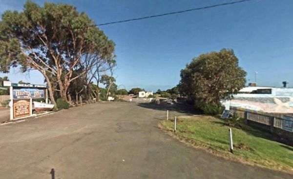
Entrance to the Henty Bay Beach Front Van & Cabin Park Henty Bay Beach Front Van & Cabin Park location map
, , , , , , , , , , , , ,
Coin operated Power is available to charge your eBike and mobile phone Entrance to Heyfield RV Park
, , ,
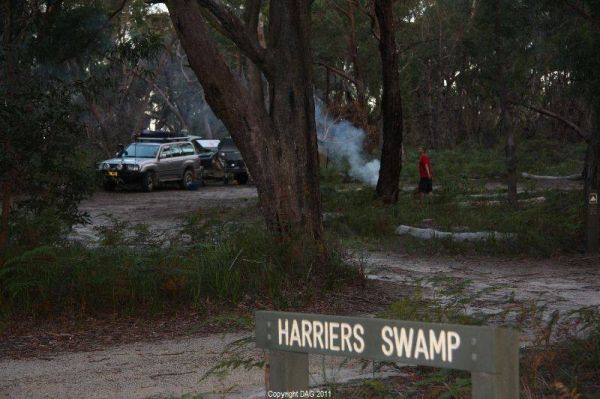
The Holey Plains State Park - Harriers Swamp Campground is 10kms south east of Rosedale.The park is situated south of the Princes Highway between Rosedale and Sale. The main access is from Rosedale, via the Rosedale Willung Road and Recreation Racecourse ...
, ,
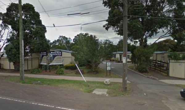
Honey Hush Caravan Park
Entrance to the Honey Hush Caravan Park Honey Hush Caravan Park location map
,
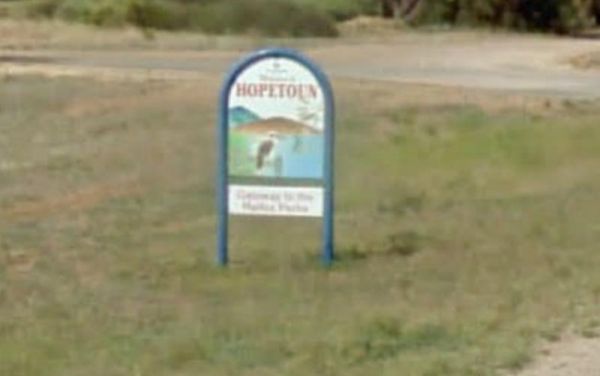
Hopetoun Rest Area
The Hopetoun Free Dump Point has now been installed into the rest area, its been set for the truckies that use this rest spot. Entrance to the Hopetoun - Free Dump Point Hopetoun - Free Dump Point location map
, , ,
Horseshoe Bend Camping Area is right on the Murray. Good for boating, skiing, and fishing or just plain relaxing. Plenty of spots along the Murray and not too far from the township of Merbein, where you can stock up on fuel and fill the cupboards. Horses ...
Entrance to the Horsham Riverside Caravan Park Horsham Riverside Caravan Park location map
, , , , , , , , , , ,
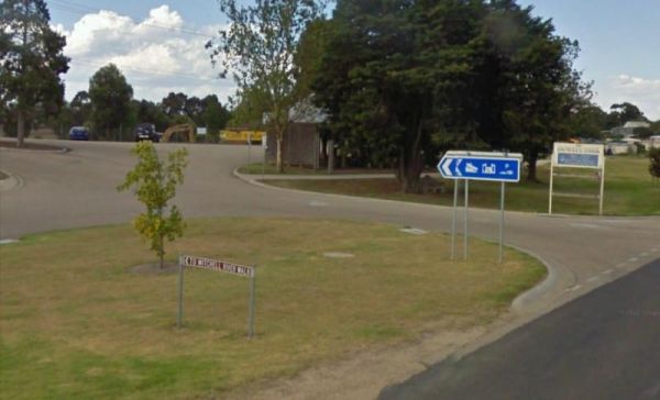
Call first for booking availability 0400 425 254 There two seperate camping areas Entrance to Horsham Showground
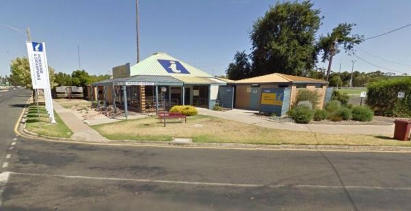
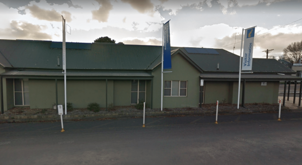
The Horsham Visitor Information Centre is well worth a visit if you intend to spend a couple of days in the region, and especially if it's your first visit to Horsham. Entrance to the Horsham Visitor Information Centre Horsham Visitor Information Cent ...
,
Howitt Park
The Howitt Park is a great place to pull over, it has plenty of room for big vans etc clean toilets, fishing is good there is a boat ramp, also a large slippery yellow slide for the kids, a flying fox and a normal playground. Entrance to the Howitt Park ...
, , , ,
Entrance to the Howqua Valley Resort Howqua Valley Resort location map
, , , , , , , , , , , ,
The Huntly Lions Park Rest Area allows Free overnight stays, has town water, a toilet block and room to park your van, and is located next to Back Creek. Entrance to the Huntly Lions Park Rest Area Huntly Lions Park Rest Area location map
, , ,
Entrance to the Hynes Reserve - Water Reserve Camping Area Hynes Reserve - Water Reserve Camping Area location map
, ,
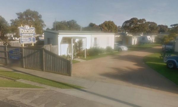
Idleours Caravan Park
Entrance to the Idleours Caravan Park Idleours Caravan Park location map
, , , , , , ,
Indented Head Bellarine Bayside Holiday Parks
Entrance to the Indented Head Bellarine Bayside Holiday Parks Indented Head Bellarine Bayside Holiday Parks location map
, , , , , , , ,
Indi Bridge Reserve Camping Area
The Indi Bridge Reserve Camping Area has a sign at the gate that points out that a diesel pump can start and run at any time, so maybe give it a bit of distance to where you camp. Indi Bridge Reserve Camping Area location map
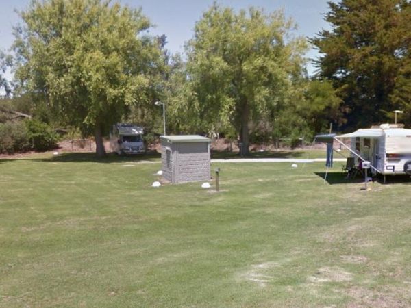
Entrance to the Inverloch Foreshore Camping Inverloch Foreshore Camping location map
, , , , , , , ,
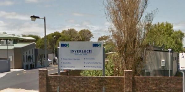
Entrance to the Inverloch Holiday Park BIG4 Inverloch Holiday Park BIG4 location map
, , , , , , , , , , , , , , , ,
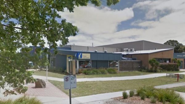
The Inverloch Visitor Information Centre is located in the center of Inverloch and has plenty of information about the local places of interest, including wineries etc. Entrance to the Inverloch Visitor Information Centre Inverloch Visitor Information ...
,
Italian Flat is a nice campsite located on the banks of the Upper Dargo River. You will find a couple of small shallow swimming holes on the river. There is a long drop toilet.onsite and this camp is only 10 min from Dargo. Italian Flat Campground locati ...
, , , , ,
Entrance to the J.Sloane Park Rest Area J.Sloane Park Rest Area location map
, , ,
The Jane Duff Highway Park Rest Area, off road camping is available near the billabong, or further back in scrub, with BBQs, Picnic tables, and a drop dunny onsite. There is an historical marker to Jane Duff, one of three Duff children who in 1864, was fo ...
, , , ,
The Jimmy Bullocks Camping Area has the Big River flows next to this camping spot and has some toilets onsite. You can also go Fishing, Yabbying and canoe/kayaking etc. Entrance to the Jimmy Bullocks Camping Area Jimmy Bullocks Camping Area location map ...
Johanna Beach Camping Area is no longer a free camp, so you will need to book your stay from the Parks Vic website above. There are 25 unpowered campsites available.NOTE: No Fires permitted. Entrance to the Johanna Beach Camping Area Johanna Beach Cam ...
, ,
Jokers Flat Camping Area
The Jokers Flat Camping Area has some camper trailer friendly sites, offering plenty of shade next to the Big River. The camping spots are better suited for self sufficient campers, such as vehicle based tent camping. The onsite drop toilet's are well mai ...
The Jones Camping Area is next to the Holland Creek so fishing for trout is a possibility, and there are plenty of photographs waiting to be taken here. Jones Camping Area location map
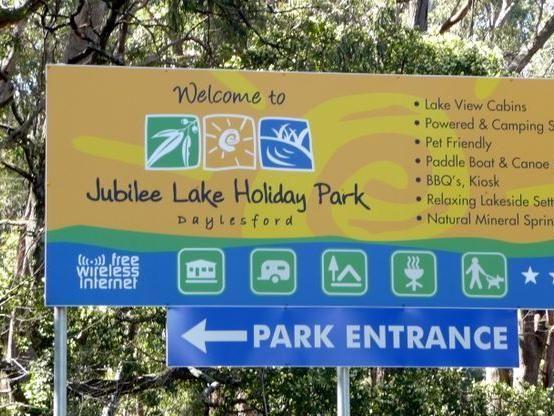
Jubilee Lake Caravan Park
Entrance to the Jubilee Lake Caravan Park Jubilee Lake Caravan Park location map
, , , , , , , , ,
Kangaroo Flat Park Area
Entrance to the Kangaroo Flat Park Area Kangaroo Flat Park Area location map
, , , , ,
Entrance to the Kangerong Holiday Park Kangerong Holiday Park location map
, , , , , ,
Entrance to the Kaniva Poolside Caravan Park Kaniva Poolside Caravan Park location map
, , , , , ,
Karri Track Camping Area
The Karri Track Camping Area is a first in gets the spot free camp. There is a drop toilet and a few picnic tables and fireplaces provided. No bookings are required here and the camping area is off Old Avoca Road on the Karri Track, it's a well-graded uns ...
,
The Kelly Tree Stringybark Creek Camping Area is where Ned Kelly's gang murdered 3 Police officers. This camping area has been revamped in 2018 and there is historical information about the Kelly Gang. The names of the fallen officers is listed below. 1. ...
, , ,
Entrance to Kerang Turf Club
, , , ,
Entrance to the Kilmore Caravan Park Kilmore Caravan Park location map
, , , , , , ,
The King Hut Camping Area can be accessed with a 2 wheel drive car. The camping area is located next to the King River, and has large camp spots for you to choose from. King Hut Camping Area King Hut Camping Area location map
The Knockwood Reserve Camping Area Situated on the banks of the Gaffneys Creek and plenty of grassy places to choose from. It's a good spot to blow the dust off your kayak and do some exploring. Entrance to the Knockwood Reserve Camping Area Knockwood ...
Entrance to the Koondrook Caravan Park Koondrook Caravan Park location map
, , , , , , , , ,
Koonwarra Family Holiday Park
Entrance to the Koonwarra Family Holiday Park Koonwarra Family Holiday Park location map
, , , , , , , , , , , ,
The Kooreh Hall Rest Area is a gravel loop road just off the Wimmera Highway. The hall was built in 1923, as a tribute to the lost soldiers of the Boer, and First World Wars. Entrance to the Kooreh Hall Rest Area Kooreh Hall Rest Area location map
, , ,
Kooyoora Park Retreat is a Pet friendly camping 15 minutes from Melville Caves with magnificent views of Mt Kooyoora. Camping with all the features of an outdoor kitchen, large fire pit, 80 acres of beautiful private bushland plus thousands of acres of Ko ...
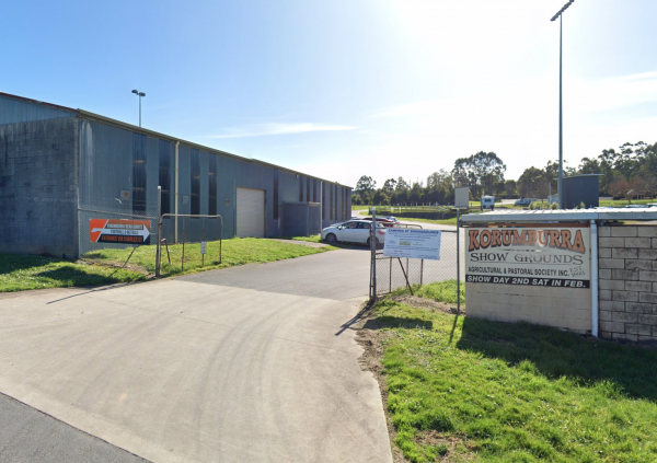
Korumburra Showgrounds
Entrance to Korumburra Showgrounds
, , , , ,
Korumburra Tourist Park
Entrance to the Korumburra Tourist Park Korumburra Tourist Park location map
, , , , , , ,
Kurrajongs Camping Area
The Kurrajongs Camping Area is a basic campground with a drop toilet. Walk to the Mt Lawson Summit (1,041m) and generally enjoy the area. Entrance to the Kurrajongs Camping Area Kurrajongs Camping Area location map
The Kurth Kiln Picnic and Camping Ground has plenty of good flat spots to pitch tents. Unfortunately there is often a lot of rubbish left behind by morons who don't care about the next person camping here. On the plus side there are a few easy and enjoyab ...
The Kyabram - Free Dump Point is next to the Fauna Park. The Key is available from Fauna Park office, which is located on the Corner of Lake Road and Fauna Park Road. Entrance to the Kyabram - Free Dump Point Kyabram - Free Dump Point location map
, ,
Entrance to the Kyabram Caravan & Tourist Park Kyabram Caravan & Tourist Park location map
, , , , ,
Entrance to the Kyabram Western Gums Tourist Park Kyabram Western Gums Tourist Park location map
, , , , , , , , , , ,
The Kyneton Mineral Springs Rest Area is next to the Campaspe River. There is a small pavillion where you can hand pump some fresh Mineral Water to take with you, and picnic tables, bbq, children's playground next to it. Entrance to the Kyneton Mineral S ...
, , , ,
Laanecoorie Lakeside Park
Entrance to the Laanecoorie Lakeside Park Laanecoorie Lakeside Park location map
, , , , , , , , , , , , ,

Entrance to the Lake Anderson Caravan Park Lake Anderson Caravan Park location map
, , , , ,
Lake Boga Caravan Park Entrance to the Lake Boga Caravan Park Lake Boga Caravan Park location map
, , , , , , , ,

The Lake Boga Rest Area is on the shore of Lake Boga, with plenty of parking and a toilets to make your rest a bit more pleasant. P.S. The lake is sometimes subject to drought condition, so NO WATER. Entrance to the Lake Boga Rest Area Lake Boga Rest ...
, , , ,
Lake Bolac Caravan & Tourist Park
Entrance to the Lake Bolac Caravan Park Lake Bolac Caravan Park location map
, , , , , , , ,
Lake Bolac East Beach Camping Area
Lake Bolac East Beach Camping Area location map
, , , ,
Lake Burrumbeet Caravan Park
Entrance to the Lake Burrumbeet Caravan Park Lake Burrumbeet Caravan Park location map
, , , , , , , , , , , , ,
Lake Charm Foreshore Caravan Park
Entrance to the Lake Charm Foreshore Caravan Park Lake Charm Foreshore Caravan Park location map
, ,
The Lake Cobbler Camping Area is a fairly large gravel surface. It can be accessed in a conventional 2WD as far as Bennies in dry weather only. Be prepared with warm clothing and sufficient supplies, as the weather conditions rapidly change in alpine area ...
,
Entrance to the Lake Colac Caravan Park Lake Colac Caravan Park location map
, , , , , , ,
Lake Elingamite Camping Area
The Lake Elingamite Camping Area has flushing toilets and a fairly large area to camp and room for tents. You are allowed three nights if you decide to park your van here. Water levels vary quite a bit depending on drought conditions. No Swimming is permi ...
Entrance to the Lake Eppalock Holiday Park Lake Eppalock Holiday Park location map
, , , , , ,
Lake Fyans Holiday Park
Entrance to the Lake Fyans Holiday Park Lake Fyans Holiday Park location map
, , , , , , , , ,  , , , , , ,
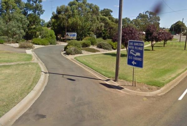
Entrance to the Lake Hamilton Motor Village and Caravan Park Lake Hamilton Motor Village and Caravan Park location map
, , , , , , , , , , , ,
Entrance to the Lake Hume - Discovery Parks Lake Hume - Discovery Parks location map
, , , , , , , , , , , , , ,
NOTE: NO Camping in Tents PermittedEntrance to the Lake Learmonth Caravan Park Lake Learmonth Caravan Park location map
, , , , , ,
Lake Lonsdale Camping Area
The Lake Lonsdale Camping Area has toilets, and plenty of room to camp. Please Note: There are also NO CAMPING areas throughout the Nature Reserve, so please obey the signs, so others can enjoy camping here in the future. Lake Lonsdale Camping Area locat ...
, , ,
Lake Meran Camping Area
The Lake Meran Camping Area has toilets and is set amongst gum trees. There is a donation box onsite, and this campsite is next to Lake Meran. Entrance to the Lake Meran Camping Area Lake Meran Camping Area location map
, , ,
Lake Narracan Caravan Park
Entrance to the Lake Narracan Caravan Park Lake Narracan Caravan Park location map
, , , , , ,
The Lake Ratzcastle Camping Area has flushing toilets, tank water and hot showers. There are plenty of camping spots available for large rigs or caravans near the lake. Sit back and relax, maybe try your luck at catching a Yabbie or two for dinner. Entra ...
, , , , ,
The Lake Weeroona Park Rest Area has a good playground for the children and you. It's a rather nice place to have a rest. Entrance to the Lake Weeroona Park Rest Area Lake Weeroona Park Rest Area location map
, , , , ,
Lakes & Craters Holiday Park
Entrance to the Lakes & Craters Holiday Park Lakes & Craters Holiday Park location map
, , , , , , , , ,
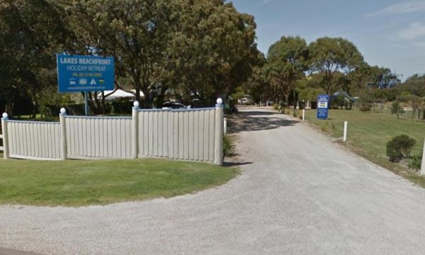
Lakes Beachfront Holiday Retreat
Entrance to the Lakes Beachfront Holiday Retreat Lakes Beachfront Holiday Retreat location map
, , , , , , , , , , , , , ,
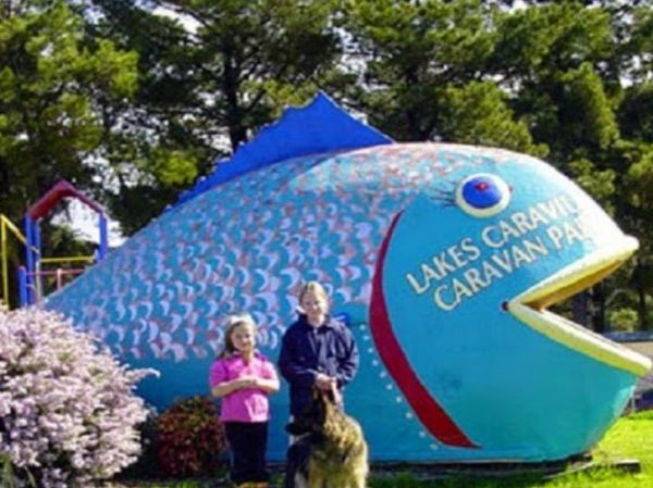
Lakes Caravilla Caravan Park
Entrance to the Lakes Caravilla Caravan Park Lakes Caravilla Caravan Park location map
, , , , , , , ,
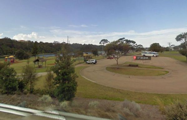
Lakes Entrance Parking Area
The Lakes Entrance Parking Area Walk over to the Tidal inlet and toss a line in. Have a BBQ while the kids play on the playground or pop over to the Visitor Information Centre. Entrance to the Lakes Entrance Parking Area Lakes Entrance Parking Area lo ...
, , , ,
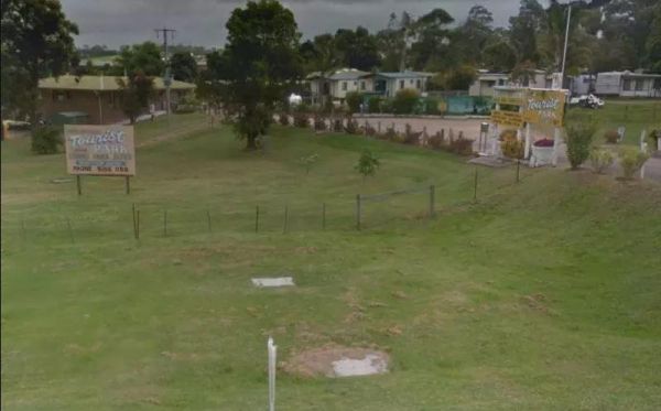
Lakes Entrance Tourist Park
Entrance to the Lakes Entrance Tourist Park Lakes Entrance Tourist Park location map
, , , , , , , , ,
Lakes Entrance Visitors Information Centre
The Lakes Entrance Visitors Information Centre is opposite the Marine Parade Reserve which has bbq facilities and fishing. Entrance to the Lakes Entrance Visitors Information Centre Lakes Entrance Visitors Information Centre location map
, , ,
LakeView Caravan Park
Entrance to the LakeView Caravan Park LakeView Caravan Park location map
, , , , , , , , ,
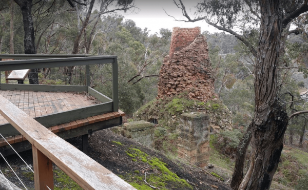
The Lal Lal Blast Furnace Rest Area is a beautiful historic location. and well worth a visit. Be sure to take the walk to the Blast Furnace and read the information plaques to understand the history, and bring your camera with you. Entrance to the Lal La ...
, , ,
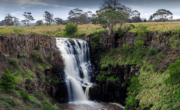
The Lal Lal Falls Rest Area has a BBQ, toilets and shelter. It is a nice place to take a few photos and have a picnic. Note: This waterfall is seasonal, so winter is the best time to see the waterfall in action. Entrance to the Lal Lal Falls Rest Area ...
, , , ,
The Lalgambook Picnic Area has plenty of space for all types of vans, and is reasonably close to Melbourne and Bendigo. There are some pleasant day hikes at Mt Alexander. This campsite has flushing toilets, picnic areas and plenty of firewood. Entrance t ...
, , ,
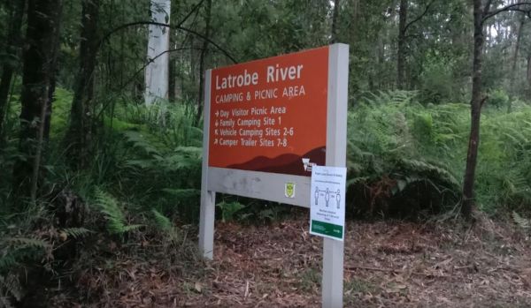
Latrobe River Camping Area
The Latrobe River Camping Area is a quiet campsite surrounded by beautiful bushland, drop toilets and pit fires are provided. The camping ground is fairly close to where the La Trobe River and Ada River join. Latrobe River Camping Area location map
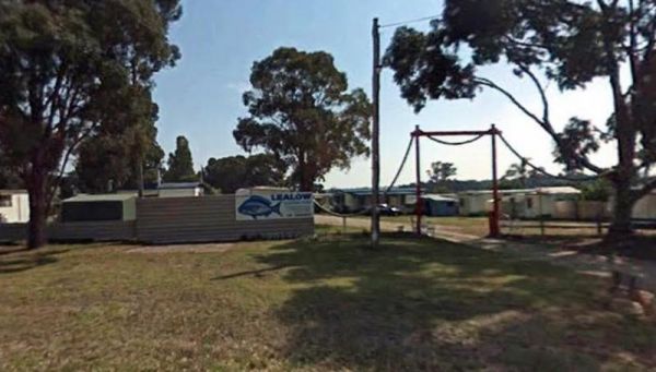
Lealow Caravan Park
Entrance to the Lealow Caravan Park Lealow Caravan Park location map
, , , , ,
Lightning Creek Camping Area
The Lightning Creek Camping Area has drop toilets, bbqs, picnic tables, large grassy areas with shaded areas to camp under, with the Snowy Creek not too far away. Entrance to the Lightning Creek Camping Area Lightning Creek Camping Area location map
Lilydale Pine Hill Caravan Park is at the gateway to Victoria’s famous Yarra Valley and the Dandenong Ranges. We have a range of modern & affordable accommodation in Lilydale, Victoria. Whether you need a Cabin or a Site for your RV’s, caravan, la ...
, , , , , , ,  , , , , , ,
  , , , , ,
Entrance to the Little Desert Nature Lodge Little Desert Nature Lodge location map
, , ,
Little River Highway Rest Stop (Northbound)
Little River Highway Rest Stop (Northbound) now has NO CAMPING signs but it's a nice place to take a break from driving. There is a petrol station next to this rest spot with take away food. Entrance to the Little River Highway Rest Stop (Northbound) ...
The Loch Memorial Reserve Camping Area is within easy walking distance to the local General Store, so you can pick up a newspaper and some supplies. Entrance to the Loch Memorial Reserve Camping Area Loch Memorial Reserve Camping Area location map
, , , ,
Loch Sport – Emu Bight Campground National Park
Emu Bight Campground National Park allows Camping at Emu Bight only. The campsites are close to the shore of Lake Victoria.Bookings are required. Phone the Parks Victoria Loch Sport office via 13 1963. Bring your Own Firewood and Water. Loch Sport – Emu ...
,
Loch Sport Caravan Park
Entrance to the Loch Sport Caravan Park Loch Sport Caravan Park location map
, , , , , , , ,
Log Crossing Picnic Area
The Log Crossing Picnic Area is a large area, with plenty of places to pitch a tent. The pit toilet is located North-West of California Gully, near the Mississippi Creek. Log Crossing Picnic Area Log Crossing Picnic Area location map
, , , ,
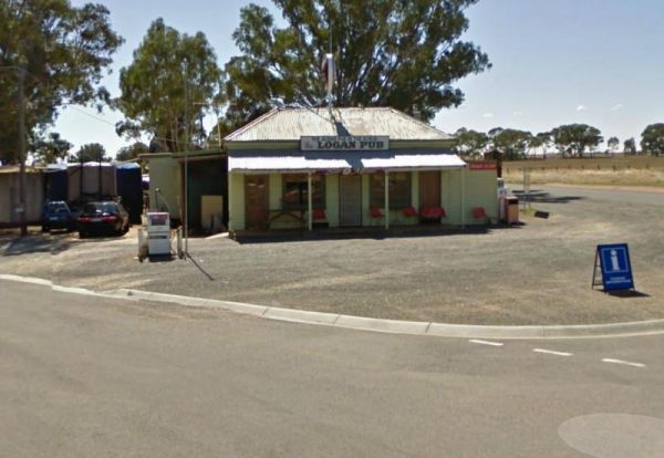
To stay at the Logan Pub Rest Area, please phone ahead, and ask for permission at the pub to camp. ph: (03) 5496 2220 Entrance to the Logan Pub Rest Area Logan Pub Rest Area location map
, , ,
Long Jetty Caravan Park
If your staying at the Long Jetty Caravan Park, you must go to the Welshpool Long Jetty and take the 750 metre walk to the end, be sure to take some warm clothes with you in the cooler months as the wind can make you feel a bit chilly. NOTE: Dump point us ...
, , , , , , ,
Longwarry North Rest Area (Westbound only)
Entrance to the Longwarry North Rest Area (Westbound only) Longwarry North Rest Area (Westbound only) location map
, ,
Entrance to the Macedon Caravan Park Macedon Caravan Park location map
, , , , , ,
Magorra Caravan Park
Entrance to the Magorra Caravan Park Magorra Caravan Park location map
, , , , , , , , , , , ,
Entrance to the Maiden's Inn Holiday Park Maiden's Inn Holiday Park location map
, , , , , , , , , , ,
Major Creek Reserve Camping Area
The Major Creek Reserve Camping Area has quite a few camping spots but only a couple of campsites close to the drop toilets. This camping ground tends to get a bit dusty during the summer months, and you might get a few motorbikes on the weekends. Major ...
Entrance to the Maldon Caravan & Camping Park Maldon Caravan & Camping Park location map
, , , , , ,
The Maldon Historic Reserve Butts Camping Area has proper flushing toilets and fire pits with swing over hotplates. There is plenty of room for tents and caravans, but take your levelling blocks with you just in case all the flat ground is taken.Note This ...
, , ,
The Malone Park Rest Area has plenty of space for all caravans and motorhomes of all sizes. Entrance to the Malone Park Rest Area Malone Park Rest Area location map
, , ,
Manangatang Rest Area
The Manangatang Rest Area is a large gravel area set back from Wattle Street with toilets to make a stop here more pleasant. Entrance to the Manangatang Rest Area Manangatang Rest Area location map
, , ,
Mansfield Lakeside Ski Village location map
, ,
The Mansfield Zoo is one of North East Victoria's hidden secrets, with a large collection of exotic and native animals on 30 acres of picturesque parkland featuring lovely views across the Delatite Valley to Mt Buller. Entrance to the Mansfield Zoo Ma ...
, ,
Marengo Holiday Park
Entrance to the Marengo Holiday Park Marengo Holiday Park location map
, , , , , , , ,
Entrance to the Marina View Van Village Marina View Van Village location map
, , , , ,
The Marlay Point Free Camping is located approx 18kms from Sale on Clydebank Road, turn off at signs to Marlay Point. Nice grassy area (just near yacht club). Entrance to the Marlay Point Free Camping Marlay Point Free Camping location map
, , , ,
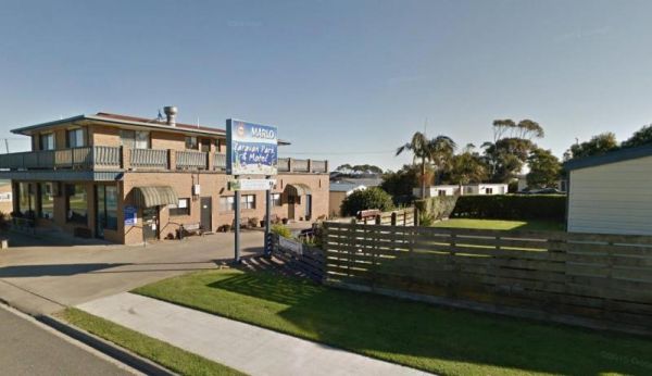
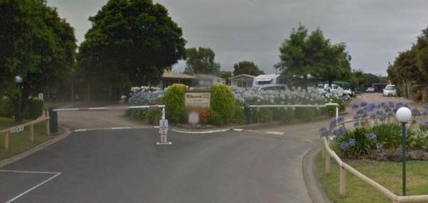
Entrance to the Marlo Caravan Park Marlo Caravan Park location map
, , ,
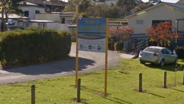
Entrance to the Marlo Ocean View Caravan & Camping Park Marlo Ocean View Caravan & Camping Park location map
, , , , , , , ,
Maryborough Caravan Park
Entrance to the Maryborough Caravan Park Maryborough Caravan Park location map
, , , , , , , , , , , , ,
Marysville Caravan and Holiday Park
Entrance to the Marysville Caravan and Holiday Park Marysville Caravan and Holiday Park location map
, , , , ,
McKenzie River Rainforest Walk
The McKenzie River Rainforest Walk is approximately a 1 kilometer easy walk (there are a few stairs to negotiate), and is a nice break from driving. The picnic tables, rubbish bins, and toilet facilities make this a nice place to pull over, and as a bonus ...
,
McKillops Bridge Camping Area
The McKillops Bridge Camping Area has a toilet and limited facilities, and is within easy walking distance to the Snowy River. Entrance to the McKillops Bridge Camping Area McKillops Bridge Camping Area location map
Entrance to the Melbourne Big4 Holiday Park Melbourne Big4 Holiday Park location map
, , , , , , ,
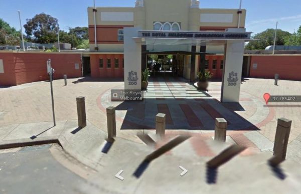
Entrance to the Melbourne Zoo Melbourne Zoo location map
, ,
The Meredith Rest Area is a large gravel area with plenty of parking available. There is a toilet block a BBQ, undercover seating and room to stretch your legs. Meredith Rest Area 360 Entrance to the Meredith Rest Area Meredith Rest Area location m ...
, , , ,
The Middle Creek Camping Area is fairly close to the Omeo Highway. From here you can take a stroll along the Cave Walking Track, but be warned, it's rather steep. Entrance to the Middle Creek Camping Area Middle Creek Camping Area location map
, , ,
Entrance to the Mildura - All Seasons Holiday Park Mildura - All Seasons Holiday Park location map
, , , , , , , , , , ,
Entrance to the Mildura - Free Dump Point Mildura - Free Dump Point location map
, , ,
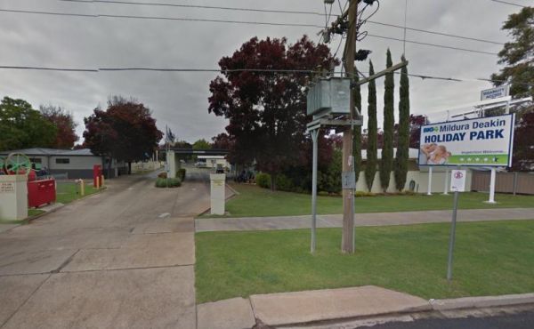
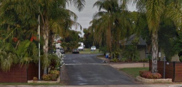
Entrance to the Mildura Deakin Holiday Park BIG4 Mildura Deakin Holiday Park BIG4 location map
, , , , , , , , ,
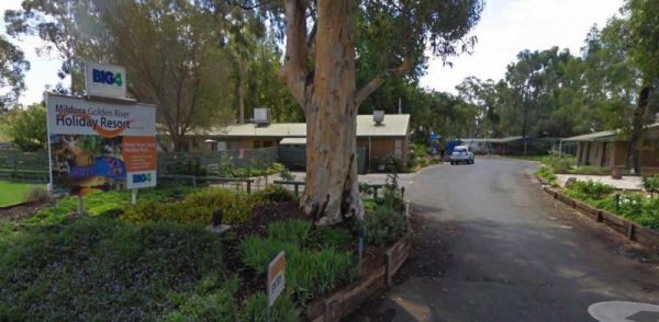
Entrance to the Mildura Golden River Holiday Resort BIG4 Mildura Golden River Holiday Resort BIG4 location map
, , , , , , , , , , , , , ,
Entrance to the Miners Rest Caravan Park Miners Rest Caravan Park location map
, , , ,
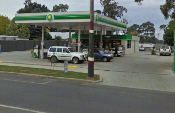
Mirboo North - Dump Point
Mirboo North - Dump Point located BP Service Station, Cost $5.00 fee, if fuel purchased no charge. Key from attendant. Big Rig OK Can be accessed from main road or rear access road. Entrance to the Mirboo North - Dump Point Mirboo North - Dump Point loc ...
, , ,
Moama West Holiday Park have a Boat Ramp which is always handy for kayaks and canoes to launch from, especially if the river bank is steep elsewhere. Entrance to the Moama West Holiday Park Moama West Holiday Park location map
, , , , , , , , , , , , , ,
Entrance to the Moe Gardens Caravan Park Moe Gardens Caravan Park location map
, , , , , , , ,
The Mokoan Rest Area (Northbound) is a busy truck stop and very well appointed, a great place to pull over to take a break from driving with plenty of room to park. Entrance to the Mokoan Rest Area (Northbound) Mokoan Rest Area (Northbound) location m ...
, , ,
The Mokoan Rest Area (South Bound) is a well appointed Truck stop with plenty of room to park. Entrance to the Mokoan Rest Area (Southbound) Mokoan Rest Area (Southbound) location map
, ,
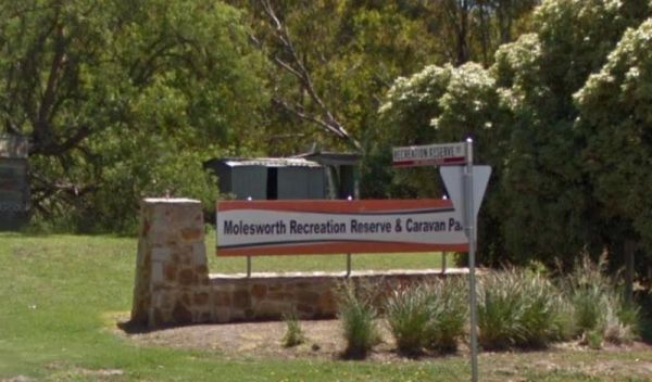
Molesworth Reserve Camping Ground
Entrance to the Molesworth Reserve Camping Ground Molesworth Reserve Camping Ground location map
, , , , , ,
The Moliagul Rest Area has a toilet and bbq plus undercover picnic table, as a side note, John Flynn the founder of the Flying Doctor service was born nearby and they have a monument commemorating this here. Entrance to the Moliagul Rest Area Moliagul ...
, ,
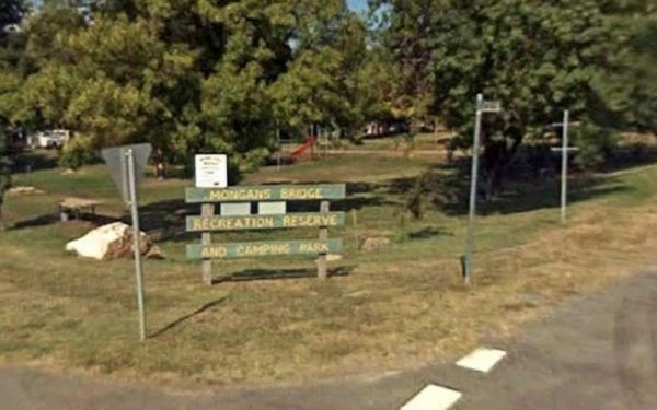
Mongans Bridge Caravan Park
Entrance to the Mongans Bridge Caravan Park Mongans Bridge Caravan Park location map
, , , , ,
Moorabee Lodge Caravan Park location map
, , , , , , , ,
The Mooroopna Rest Area is a nice spot to pull over and have a BBQ it also has a Skateboarding Ramp next to Rest Area to keep the kids busy. Entrance to the Mooroopna Rest Area Mooroopna Rest Area location map
, , , ,
Mornington Gardens Holiday Village
Entrance to the Mornington Gardens Holiday Village Mornington Gardens Holiday Village location map
, , , , , , , , ,
Entrance to the Mornington Peninsula Holiday Park BIG4 Mornington Peninsula Holiday Park BIG4 location map
, , , , , , , , , , , , , , ,
Entrance to the Mount Beauty Holiday Centre and Caravan Park Mount Beauty Holiday Centre and Caravan Park location map
, , , , , , , ,
Mount Buffalo Caravan Park
Entrance to the Mount Buffalo Caravan Park Mount Buffalo Caravan Park location map
, , , , , , , , ,
Mount Franklin Reserve Camping Area
The Mount Franklin Reserve Camping Area is a large grassy area with quite a few picnic tables, a toilet block and a some unofficial fireplaces. The campground is located inside an Extinct Volcano, with plenty of walking tracks to explore the surrounding a ...
, ,
Mountain Creek Camping and Picnic Area is a picturesque campsite next to the Mountain Creek stream. This campground can get busy on long weekends, and has limited spots for camper trailers, but lots of space for tents approx 15 camp-sites available, and a ...
Mountain Dam Camping Area has plenty of camping spots to choose from. There is a drop toilet and a few fire pits with picnic tables. Lots of wildlife photography opportunities. Also a boat ramp, so you can launch your kayak with ease, but do take it caref ...
, , , ,
Mt Buffalo Caravan Park
The Mt Buffalo Caravan Park backs onto the Ovens River, it's nice and shallow and easy walking distance from your campsite. Entrance to the Mt Buffalo Caravan Park Mt Buffalo Caravan Park location map
, , , , ,
Mt Disappointment State Forest - No 1 Camping Area
Mt Disappointment State Forest - No 1 Camping Area has toilets and undercover picnic tables, with plenty of room for campers and caravans. Entrance to the Mt Disappointment State Forest - No 1 Camping Area Mt Disappointment State Forest - No 1 Camping ...
, ,
The Mt Langi Ghiran State Park Camp Area This site is suited for bush camping remember to Bring plenty of water. there are lots of Walking Tracks to choose from Make certain you are well equipped if you decide to go trekking. I always recommend setting th ...
, ,
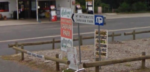
Entrance to the Mt Mittamatite Caravan Park Mt Mittamatite Caravan Park location map
, , , , , , , , ,
Murrayville Park Rest Area
The Murrayville Park Rest Area has a public toilet, and picnic tables and there is a Children's Playground and Hotel directly across the road. Entrance to the Murrayville Park Rest Area Murrayville Park R locationmapest Area
, , ,
Murrungower Rest Area
The Murrungower Rest Area has had a major upgrade with asphalt being laid with plenty of room to park all sized rigs. There is still a toilet block, picnic tables and a few fireplaces available. Entrance to the Murrungower Rest Area Murrungower Rest A ...
,
Myrtleford Holiday Park
Entrance to the Myrtleford Holiday Park Myrtleford Holiday Park location map
, , , , , , , , , , ,
Nariel Creek Recreation Reserve Camping Area
The Nariel Creek Recreation Reserve Camping Area is a large open grassed are with plenty of places to camp for the night. The Corryong Creek runs alongside this campground. Please note: The Nariel Creek Reserve was established as the site for the Nariel C ...
Entrance to the Narrawong Caravan Park Narrawong Caravan Park location map
, , , , , , , , ,
The Nash Creek Camping Ground is a state run campground with drop toilets onsite. This camping ground is best suited to 4x4 enthusiasts with plenty of 4x4 tracks to explore. Nash Creek Camping Ground Nash Creek Camping Ground location map
,
The Native Dog Flat Campground has plenty of green grass, with large campsites and one drop toilet, it has been reported that Brumby's sometimes come to this campground. Native Dog Flat Campground location map
,

Neerim South Caravan Park
Entrance to the Neerim South Caravan Park Neerim South Caravan Park location map
, , , , ,
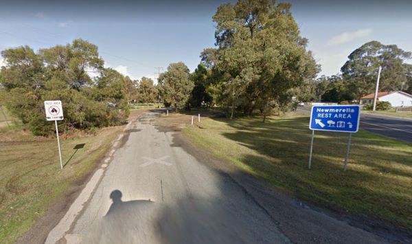
The Newmerella Rest Area is set a short distance back from the Princes Highway, with plenty of parking, Picnic Tables, Fireplaces, Public toilets and water onsite.There is a NO CAMPING Sign displayed at the entrance. Entrance to the Newmerella Rest Area ...
, , , ,
Entrance to the Nhill Caravan Park Nhill Caravan Park location map
, , , , , , , , ,
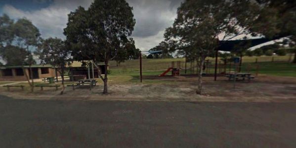
The Nicholson Rest Area is on the Nicholson River, with toilets and picnic tables for your pleasure, there is also water on tap, and fishing at your doorstep, all in all not a bad place to rest for a few minutes. Entrance to the Nicholson Rest Area Ni ...
, , , , , ,
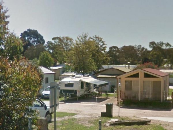
Entrance to the Nicholson River Caravan Park Nicholson River Caravan Park location map
, , , , , , , , , , , ,
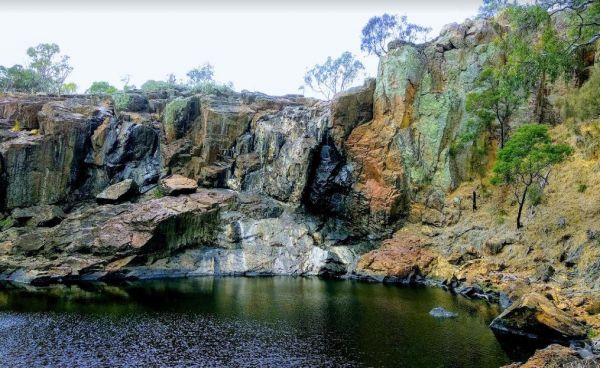
The Nigretta Falls Scenic Reserve is a nice place to visit, with stairs right down to the river. If you want to see the waterfall at its best, make sure you come during the winter season.Please Note: Camping is not permitted, however, 10 minutes up the ro ...
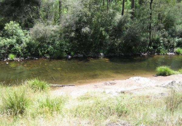
Noonans Flat Camping Area
The Noonans Flat Camping Area is a nice bush camp with drop toilets. You are adjacent the Howqua River so fishing and kayaking is available. Busy as peak times. A van visits with basic supplied during the peak season. Noonans Flat Camping Area location m ...
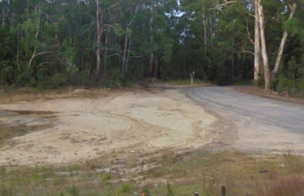
The Noorinbee Rest Area is a designated power nap area, with picnic tables, public toilets and tap water available. Entrance to the Noorinbee Rest Area Noorinbee Rest Area location map
, ,
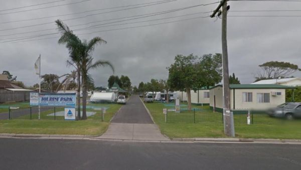
North Arm Tourist Park
Entrance to the North Arm Tourist Park North Arm Tourist Park location map
, , , , , , , , ,
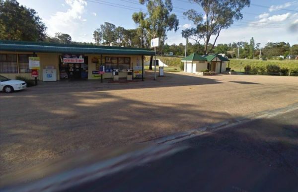
The Nowa Nowa Rest Area is next to the general store, so so can pick up needed food items and fuel up here, then take a few minutes rest, before heading off again on your journey. Entrance to the Nowa Nowa Rest Area Nowa Nowa Rest Area location map
, ,
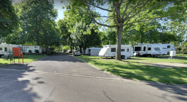
NRMA Bairnsdale Riverside Holiday Park
The NRMA Bairnsdale Riverside Holiday Park is pet friendly and has a great location next to the Mitchell River, plus its within easy walking to the local shops, and restaurants. Entrance to the NRMA Bairnsdale Riverside Holiday Park NRMA Bairnsdale Ri ...
, , , , , , , ,
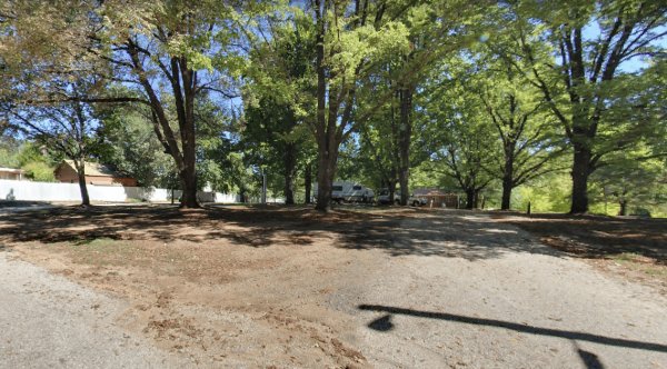
The NRMA Bright Holiday Park is located on the banks of Morse’s Creek which flows into the Ovens River all within easy walking distance from your campsite. Entrance to the NRMA Bright Holiday Park NRMA Bright Holiday Park location map
, , , , , , , , , , , ,
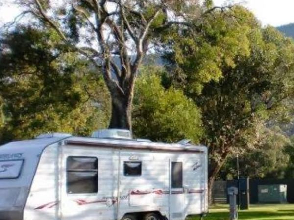
Entrance to the NRMA Halls Gap Holiday Park BIG4 NRMA Halls Gap Holiday Park BIG4 location map
, , , , , , , , , , , , , ,
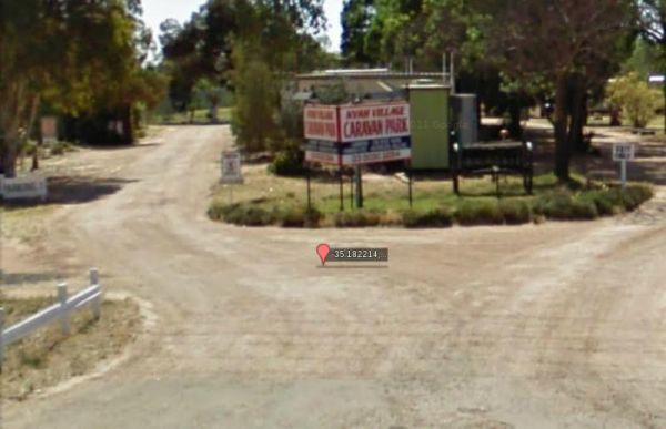
Entrance to the Nyah Village Caravan Park Nyah Village Caravan Park location map
, , , , , ,
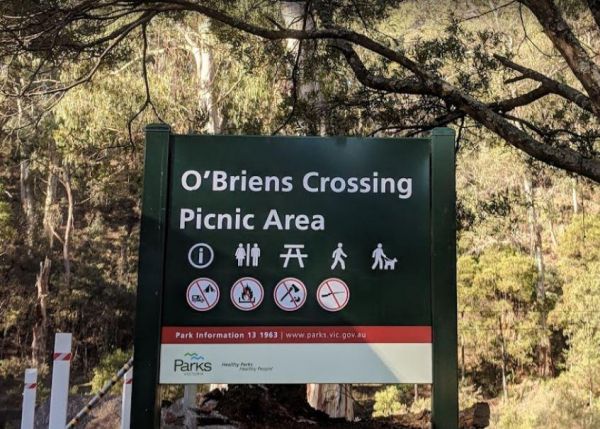
O'Briens Crossing Picnic Area
O'Briens Crossing Picnic Area is no allowing camping here, there is another location further up the road but it's a bit on the scary side to drive it. O'Briens Crossing Picnic Area 360 O'Briens Crossing Picnic Area location map
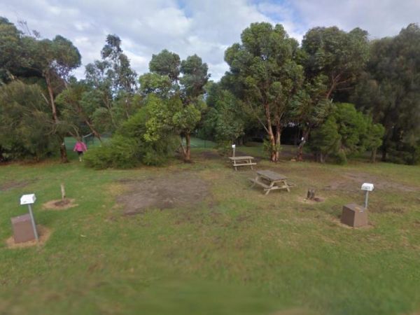
Ocean Grove Holiday Park
Entrance to the Ocean Grove Holiday Park Ocean Grove Holiday Park location map
, , , , , , , ,
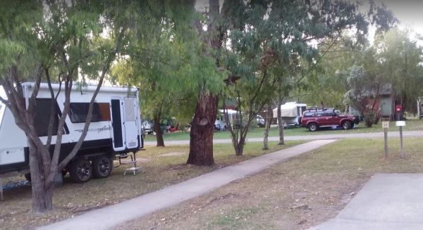
Otways Tourist Park
Entrance to the Otways Tourist Park Otways Tourist Park location map
, , , , , , , , , , , ,
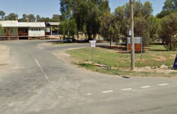
The Ouyen Park has a few picnic tables, and some shade so you can enjoy a break from driving. Entrance to the Ouyen Park Ouyen Park location map
,
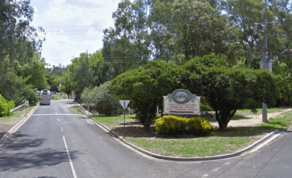
Painters Island Caravan Park
Entrance to the Painters Island Caravan Park Painters Island Caravan Park location map
, , , , , , , , , ,
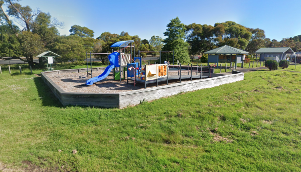
Entrance is from Harris Street.
, , , , , ,
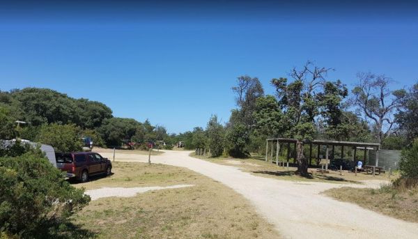
Paradise Beach Camping Area
The Paradise Beach Camping Area is a nice campground next to the open ocean beach, with good facilities. The ground can be hard to hammer in tent pegs in some spots, and a little uneven in others.Mosquitoes can be a problem in the warmer months, so take r ...
, ,
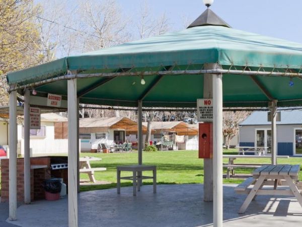
Entrance to the Peninsula Holiday Park Peninsula Holiday Park location map
, , , , , , , , , ,
Peterborough Park Rest Area
The Peterborough Park Rest Area is a lovely day rest area with access to water for those interested in fishing, or photography.Please Note: Peterborough Park is a Rest Area ONLY, No Camping or Overnight Stopovers allowed. There are now signs saying no cam ...
, , , ,
Entrance to the Phillip Island Caravan Park Big4 Phillip Island Caravan Park Big4 location map
, , , , , , , , , , , ,
The Phillip Island Information Centre has lots of information available, and you can purchase tickets for the penguin parade from here also. Entrance to the Phillip Island Information Centre Phillip Island Information Centre location map
,
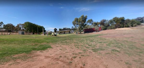
The Piangil Memorial Park Rest Area The Murray River is not far away if you want to try your hand at fishing. This site has new trees being planted over the last twelve months. So Please Show your Appreciation and leave a donation. Entrance to the Piangi ...
, ,
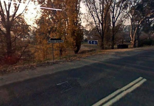
Pigs Point Reserve Camping Area
The Pigs Point Reserve Camping Area has large grassy areas next to the Mitta Mitta River, it's not a bad place to spend a day relaxing or fishing. Entrance to the Pigs Point Reserve Camping Area Pigs Point Reserve Camping Area location map
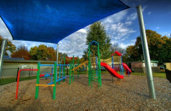
Porepunkah Bridge Caravan Park
Entrance to the Porepunkah Bridge Caravan Park Porepunkah Bridge Caravan Park location map
, , , , , , , ,
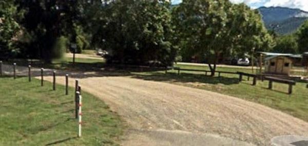
Porepunkah Holiday Park Big4
Entrance to the Porepunkah Holiday Park Big4 Porepunkah Holiday Park Big4 location map
, , , , , , , , , , , , , , , ,
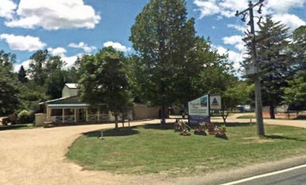
Porepunkah Pines Tourist Resort
Entrance to the Porepunkah Pines Tourist Resort Porepunkah Pines Tourist Resort location map
, , , , , , , , , , , , ,
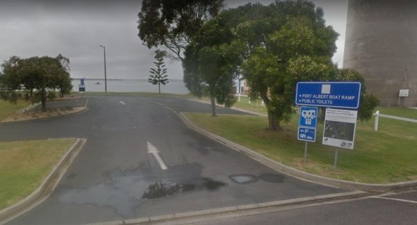
Port Albert Rest Area
Entrance to the Port Albert Rest Area Port Albert Rest Area location map
, , , ,
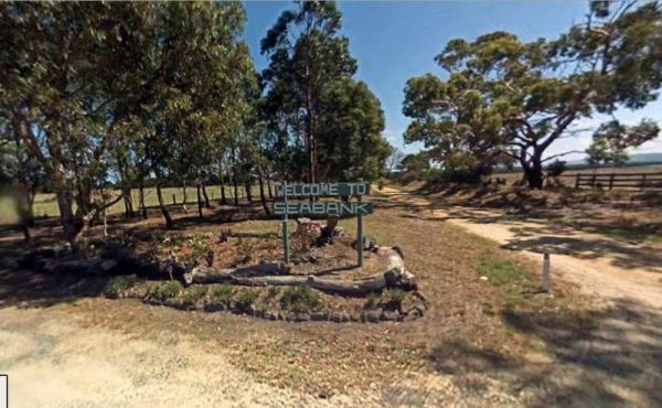
Port Albert Seabank Caravan Park
Entrance to the Port Albert Seabank Caravan Park Port Albert Seabank Caravan Park location map
, , , , , ,
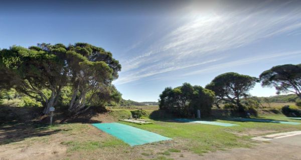
Port Campbell Caravan Park
Entrance to the Port Campbell Caravan Park Port Campbell Caravan Park location map
, , , , , , , , ,

Port Fairy Anchorage Holiday Park BIG4
Entrance to the Port Fairy Anchorage Holiday Park BIG4 Port Fairy Anchorage Holiday Park BIG4 location map
, , , , , , , , , , , , , , , , , , , ,
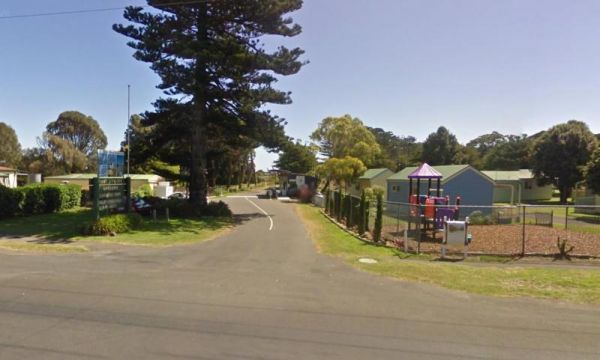
Port Fairy Holiday Park
Entrance to the Port Fairy Holiday Park Port Fairy Holiday Park location map
, , , , , , , , , , , , ,
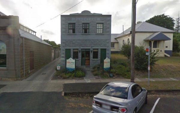
Entrance to the Portland Holiday Village Portland Holiday Village location map
, , , , , , , ,
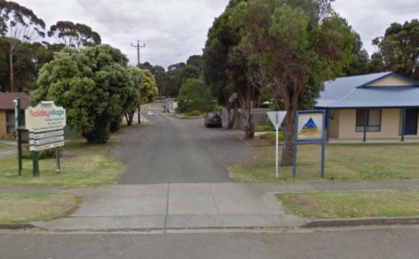
Entrance to the Portland Tourist Park Portland Tourist Park location map
, , , , , , , , , , ,
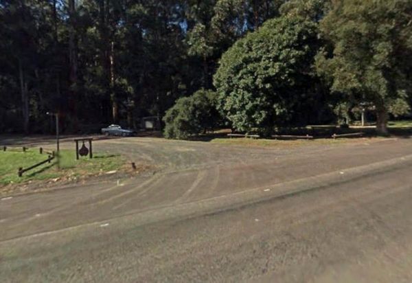
Powelltown Rest Area
The Powelltown Rest Area is a small gravel area with picnic tables and toilets onsite, and not too far from the Little Yarra River, as well as a pleasant walk along the Old Tramways tracks. Entrance to the Powelltown Rest Area Powelltown Rest Area loc ...
, , , ,
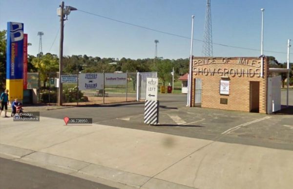
Prince of Wales Showgrounds
The Prince of Wales Showgrounds has a Free Dump Point. Entrance to the Prince of Wales Showgrounds Prince of Wales Showgrounds location map
, , , ,
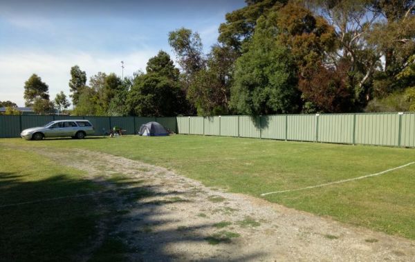
Entrance to the Prom Central Caravan Park Prom Central Caravan Park location map
, , , , , , , , , ,
Queenscliff Victoria Park
Entrance to the Queenscliff Victoria Park Queenscliff Victoria Park location map
, , , ,
Raspberry Hill Campsite & Toilet, for your own safety ALWAYS check first with Parks Vic, before heading into the High Country, many of the roads are closed during winter, and you could get stranded. Raspberry Hill Campsite & Toilet location map ...
,
Ravenswood Rest Area - Northbound Truck Stop
At the Ravenswood Rest Area Northbound Truck Stop, you can fill up with fuel, and buy some food, or simply take a break from driving and use the Public Toilets. Entrance to the Ravenswood Rest Area - Northbound Truck Stop Ravenswood Rest Area - Northb ...
, ,
Raymond Creek Falls Campground has some picnic tables, wood fired BBQ's, and public toilets. There is a walking track to the base of Raymond Falls, its roughly a 20 minute walk one way, but well worth it, and remember to take your camera with you, and you ...
,
Red Cliffs Caravan Park
Entrance to the Red Cliffs Caravan Park Red Cliffs Caravan Park location map
, , , , , , ,
Reddas Park Camping Area is a large gravel area with many free campsites, if you want to use power, there is a small fee to pay. The Hotel at the corner of Swann and Dixon Street is where you pay for powered sites. Entrance to the Reddas Park Camping Are ...
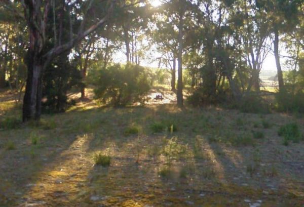
The Rennick Plantation - Palpara Camping Area ground is quite uneven, so it might be a bit hard finding level ground to pitch a tent on. Entrance to the Rennick Plantation - Palpara Camping Area Rennick Plantation - Palpara Camping Area location map
, ,
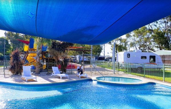
Resthaven Caravan Park
Entrance to the Resthaven Caravan Park Resthaven Caravan Park location map
, , , , , , , , , , ,
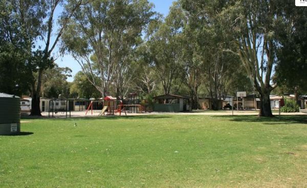
Entrance to the Riverlander Caravan Park Riverlander Caravan Park location map
, , , , , , ,
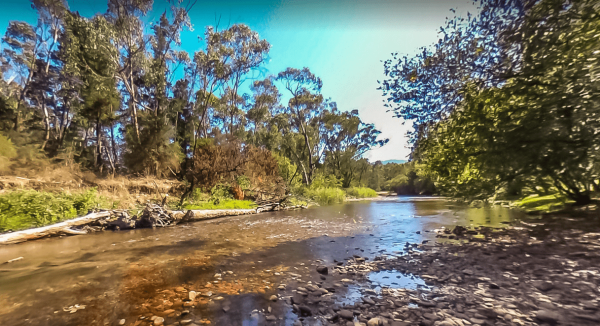
Riverview Caravan Park
The Riverview Caravan Park have some unpowered camp sites right on the banks of the Buckland River. Entrance to the Riverview Caravan Park Riverview Caravan Park location map
, , , , , , , , , , , ,
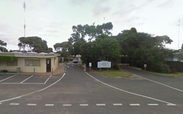
Riverview Family Caravan Park
Entrance to the Riverview Family Caravan Park Riverview Family Caravan Park location map
, , , , , , , , ,
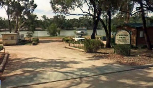
Entrance to the Robinvale Riverside Caravan Park Robinvale Riverside Caravan Park location map
, , , , , , , , ,
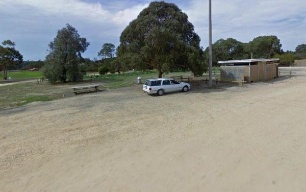
Entrance to the Rosedale Vicroads Wayside Stop Rosedale Vicroads Wayside Stop location map
, , ,
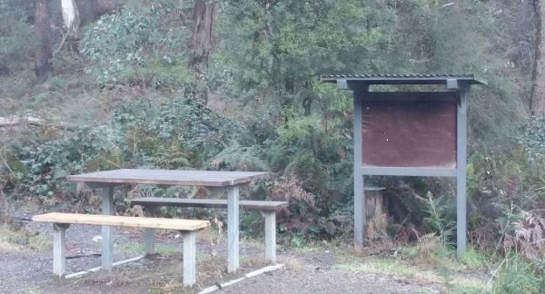
The Rubicon Boys Campground has drop toilets and this campsite can get busy over long weekends, and holidays in general. There are some nice 4x4 tracks to explore, and fishing in the river that runs alongside this campground. Rubicon Boys Campground loca ...
, , , ,
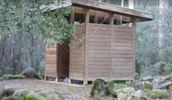
The Rubicon State forest, Kendalls Camping Area A has easy access for caravans and plenty of space to choose a campsite. There are fire pits located in most sites. This is a very busy campground during holidays and weekends. One thing to remember if you i ...
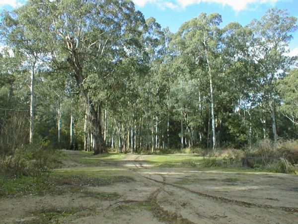
The Running Creek Camping Area is a large campground that has drop toilets. During the cooler months, you can have a campfire to enjoy its warmth. The Howqua river also runs past this campsite, and is shallow during the dry months of the year, so good you ...
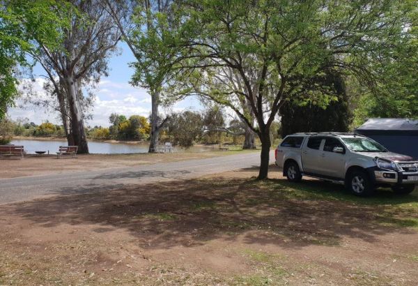
Rutherglen Caravan & Tourist Park
The Rutherglen Caravan & Tourist Park is a nice caravan park in a historic and interesting town. The facilities are modern, clean and well maintained, with plenty of room for all types of vans. Entrance to the Rutherglen Caravan & Tourist Park ...
, , , , ,
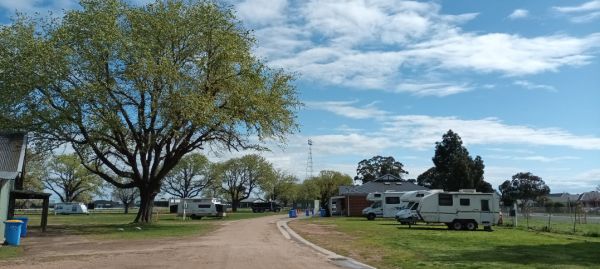
The Sale Showgrounds Motor Home Facility is Centrally located at the Sale Showgrounds, you will also get a Welcome pack which includes some discount vouchers. Entrance to the Sale Showgrounds Motor Home Facility Sale Showgrounds Motor Home Facility lo ...
, , ,
The Sale Visitor Centre is located in the council building. Entrance to the Sale Visitor Centre Sale Visitor Centre location map
, , ,
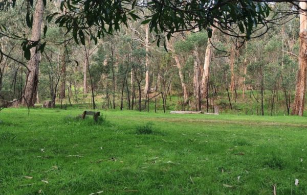
The Samaria Wells Camping Area is a best suited to tent based camping with plenty of walking tracks to explore.. Samaria Wells Camping Area location map
,
Entrance to the San Remo Foreshore Caravan Park San Remo Foreshore Caravan Park location map
, , ,
Entrance to the San Remo Holiday Park San Remo Holiday Park location map
, , , , , ,
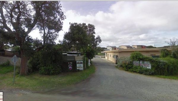
Sandy Point Holiday Park
Entrance to the Sandy Point Holiday Park Sandy Point Holiday Park location map
, , , , , , ,
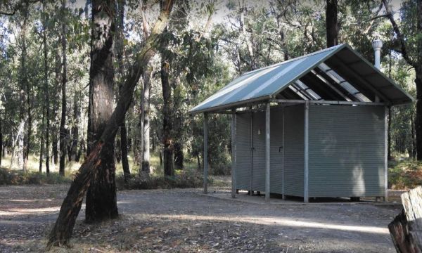
The Sawpit Campground is a large campground with plenty of camp sites to choose from, and once you've settled in, there are quite a few walking tracks to explore with your camera. Entrance to the Sawpit Campground Sawpit Campground location map
, ,
The Sennis Campground is located on the Tyers River has plenty of wildlife visiting this campsite, including wombats, lyrebirds, rock wallabies etc. For the fishermen and women, trout, eels, and crayfish are often caught from the Tyres River. The road in ...
, , ,
The Seymour Regional Visitor Information Centre is located in the Old Court House historic building. There is als a small art gallery to look at when you visit here. Entrance to the Seymour Regional Visitor Information Centre Seymour Regional Visitor ...
, ,
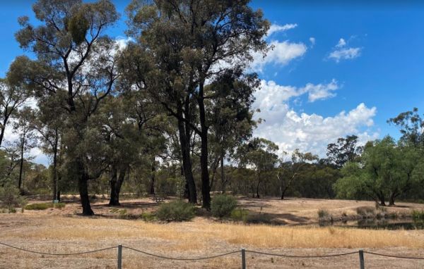
The Shadbolts Picnic Area is between Eaglehawk-Neilborough Road and Skylark Road and close to the Raywood Channel. There is not a lot to do here, however there are a few areas, to walk to and explore for the more adventurous out there. Entrance to Shadbo ...
,
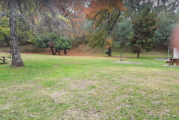
Sheepyard Flat Camping Area
The Sheepyard Flat Camping Area is a large area with many campsites to choose from. During the summer months an ice truck loaded with all sorts of goodies frequents the campground. Plenty of grassy areas to choose from on the banks of the Howqua River, bu ...
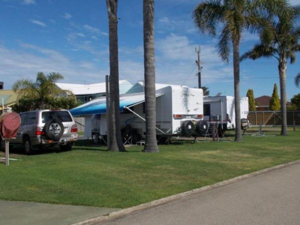
Silver Sands Tourist Park
Entrance to the Silver Sands Tourist Park Silver Sands Tourist Park location map
, , , , , , , , ,
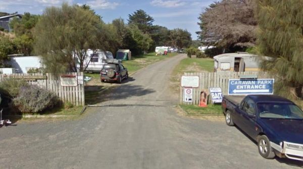
Skenes Creek Beachfront Park
Entrance to the Skenes Creek Beachfront Park Skenes Creek Beachfront Park location map
, , , , , , , , , , ,
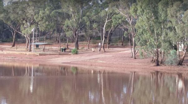
Skinners Flat Rest Area
The Skinners Flat Rest Area Great camping spot. Very basic amenities (drop toilet), fairly quiet - some road noise from the highway, but not too bad. Can get large vans in easily. Skinners Flat Rest Area 360 Skinners Flat Rest Area location map
, ,
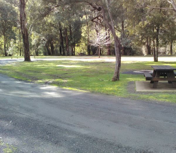
This free campground boasts a pleasant environment, featuring numerous level and grassy camping spots, some equipped with its own fire pit, bring your firewood, and a couple of picnic tables are available for your convenience. There are numerous well-kept ...
, , , ,
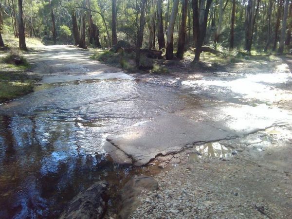
Slaty Creek Campground No2
The Slaty Creek Campground No2 is best suited to tents and camper trailers. Take Note: The small creek has no water flowing in it during the summer months. Entrance to the Slaty Creek Campground No2 Slaty Creek Campground No2 location map
, ,
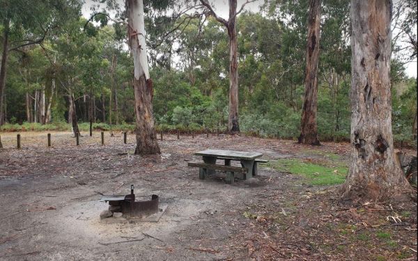
The Smiths Bridge Campground is a large tidy area with fire pits & bbq plate, a drop toilet, picnic tables, an running tap water, with plenty of shade to choose your campsite. Entrance to the Smiths Bridge Campground Smiths Bridge Camping Area loc ...
, , , ,
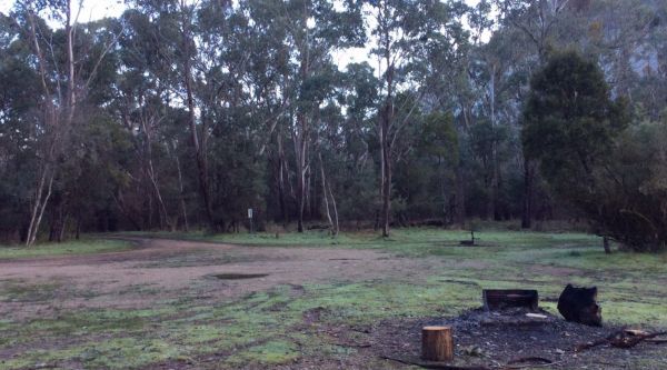
This free camping site can be found a brief drive down an unpaved road, offering a prime riverside location. The campgrounds may get muddy after rain, which could be problematic during wet weather. Some sites have multiple fire pits. It's recommended to b ...
, , ,
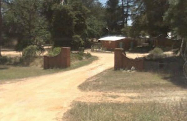
Smythesdale Park Rest Area
The Smythesdale Park Rest Area has room for caravans and motorhomes. There is a small fee charged for those interested in camping at the Park. Entrance to the Smythesdale Park Rest Area Smythesdale Park Rest Area location map
, , ,
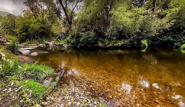
Snowy Creek Campground
The Snowy Creek Campground is located on the banks of the Snowy Creek, with bush-walking, photography etc, all available from this camp site. Snowy Creek 360 Snowy Creek Camping Area location map
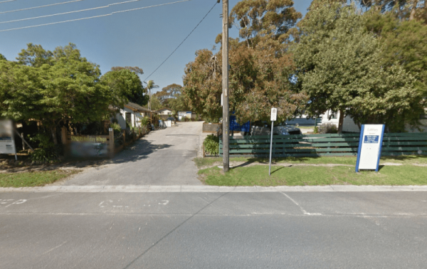
Entrance to the Somers Caravan Park Somers Caravan Park location map
, , , , , , ,
The St Arnaud Visitor Information Centre is located Directly Opposite the Queen Mary Gardens. It's a nice place to have a stroll around. Entrance to the St Arnaud Visitor Information Centre St. Arnaud Tourism location map
St Leonards Caravan Park
Entrance to the St Leonards Caravan Park St Leonards Caravan Park location map
Stacey Bridge Camping Area
The Stacey Bridge Camping Area Take advantage of a nice camping area and take your camera for a walk, and capture a few memories to take away with you. Stacey Bridge Camping Area location map
Starlings Gap Camping Area
The Starlings Gap Campground Secluded camping spot with a drop toilet facility but make sure to bring some toilet paper with you, fire pits and even a sheltered picnic table. This campsite gets very busy during public holiday weekends. Finding a level gro ...
, ,
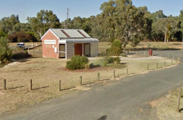
The Stawell Federation Park Rest Area is a large gravel area with water taps and fireplaces and picnic tables., you can also walk over the Grampians Rd and enjoy a short walk around the small lake, There are also public toilets and an information board at ...
, , ,
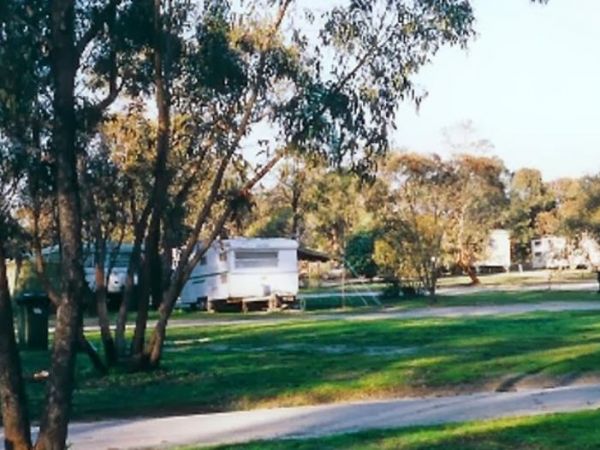
Stawell Park Caravan Park
Entrance to the Stawell Park Caravan Park Stawell Park Caravan Park location map
, , , , , , , , , , , , ,
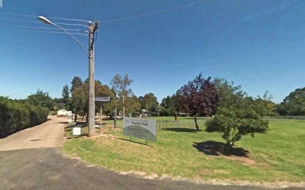
Entrance to the Stratford Top Tourist Park Stratford Top Tourist Park location map
, , , , , , , ,
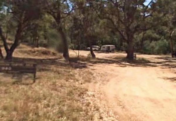
Suggan Buggan Campground
The Suggan Buggan Campground is a gravel area next to the Suggan Buggan River. This camp site is on a narrow winding unmade road. Entrance to the Suggan Buggan Campground Suggan Buggan Campground location map
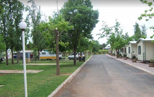
Sun City Caravan Park
Entrance to the Sun City Caravan Park Sun City Caravan Park location map
, , , , , , , , , ,
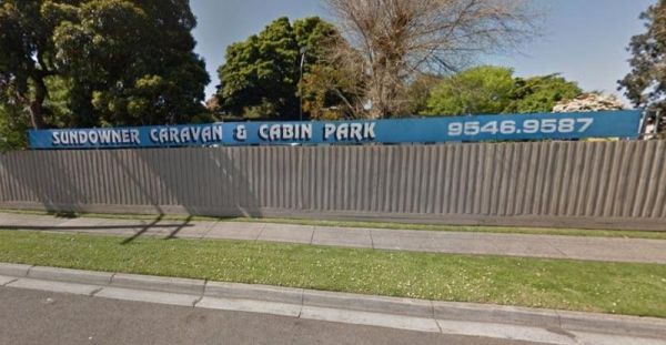
Sundowner Caravan & Cabin Park
Entrance to the Sundowner Caravan & Cabin Park Sundowner Caravan & Cabin Park location map
,
The Sunshine Mobil Service Centre - Free Dump Point is located on the Western Ring Road North Bound, use truck lane, after pumps, marked as Bus Effluent Point. Suitable for all vehicles , Service centre for fuel and McDonalds Note: A small fee is charged ...
, , ,
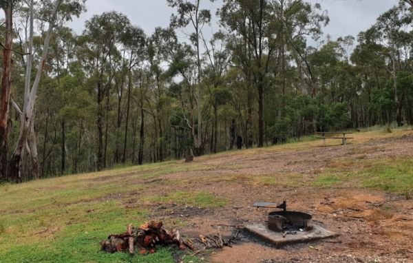
The Surface Point Camping Area Surface Point Camping Area location map
, ,
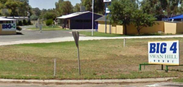
Entrance to the Swan Hill BIG4 Swan Hill BIG4 location map
, , , , , , , , , , , , , , , , ,
Entrance to the Swan Hill Riverside Caravan Park Swan Hill Riverside Caravan Park location map
, , , , , , , , , , , , ,
The Swan Hill Showground - Free Dump Point is located at the Showgrounds entrance, Stradboke Avenue, you'll find it at the end of building as you drive in Entrance to the Swan Hill Showground - Free Dump Point Swan Hill Showground - Free Dump Point lo ...
,
The Swan Hill Visitor Information Centre can be found across the road from the Big Cod. The centre has some historic and regional displays, plus a good assortment of the necessary visitor information resources. Entrance to the Swan Hill Visitor Informati ...
,
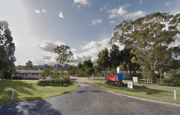
Swan Reach Gardens Tourist Park
Entrance to the Swan Reach Gardens Tourist Park Swan Reach Gardens Tourist Park location map
, , , , , , , , , , ,
Swan Reach Rest Area
The Swan Reach Rest Area is directly opposite the Swan Reach General Store, so you can pop over and purchase a few essentials for your journey while stopping here. Entrance to the Swan Reach Rest Area Swan Reach Rest Area location map
, ,
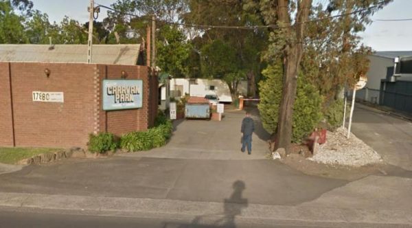
Sylvan Caravan Park
Entrance to the Sylvan Caravan Park Sylvan Caravan Park location map
, ,
Entrance to the Taggerty Holiday Park BIG4 Taggerty Holiday Park BIG4 location map
, , , , , , , , , , , , , , , , , , ,
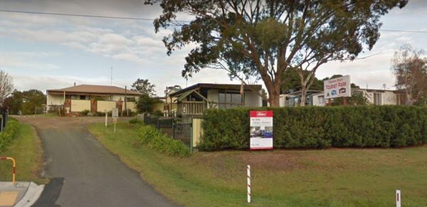
Tambo River Tourist Park
Entrance to the Tambo River Tourist Park Tambo River Tourist Park location map
, , , , , , ,
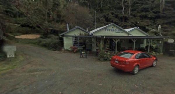
Tarra Valley Caravan Park
Entrance to the Tarra Valley Caravan Park Tarra Valley Caravan Park location map
, , , , , , , , ,
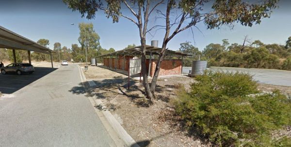
The Taungurung Truck Stop Rest Area (Southbound Only) if you decide to stay overnight, make sure you don't block the semi trailer drivers, who need this spot more than you. Entrance to the Taungurung Truck Stop Rest Area (Southbound Only) Taungurung T ...
, , ,
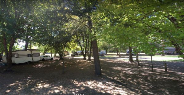
Tawonga Caravan Park location map
, , , , , , , , , ,
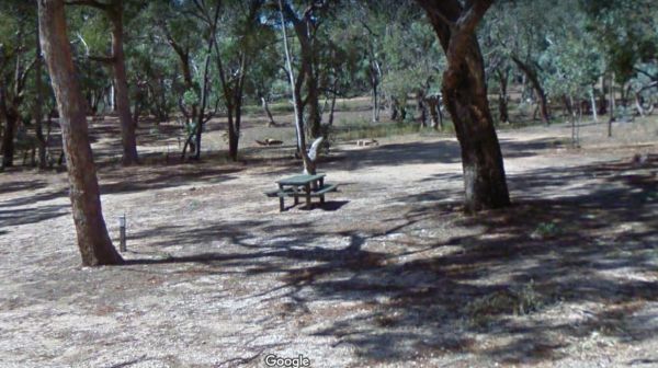
Teddington Reservoir Camping Area
The Teddington Reservoir Camping Area has well maintained facilities and toilets. There is plenty of wildlife around your campsite to help keep you entertained. Entrance to the Teddington Reservoir Camping Area Teddington Reservoir Camping Area locati ...
, , ,
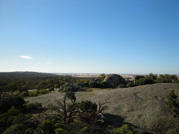
The Terrick Terrick Camping Area has a public toilet block and from here you can take a pleasant stroll to the lookout and take a photo of Pyramid Hill in the distance. Terrick Terrick Camping Area location map
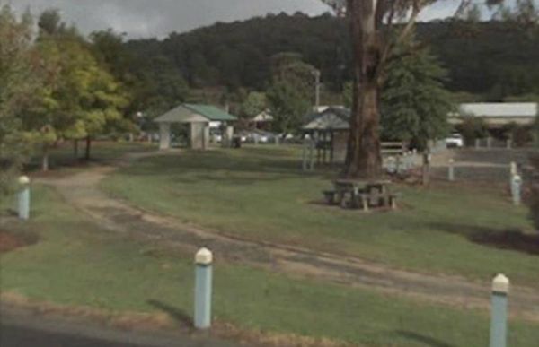
The The Boolarra Recreation Reserve is easy to book simply pop into the Boolarra Club Hotel to book your site. Entrance to the The Boolarra Recreation Reserve The Boolarra Recreation Reserve location map
, , ,
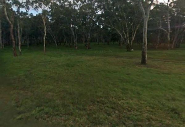
The Fort O'Hare Camping Area on the banks of the Glenelg River, pet friendly, drop toilets, a few fire pits, and picnic tables scattered around, you will also find an Honesty box at local store for camp fees. When it town be sure to have a look at the woo ...
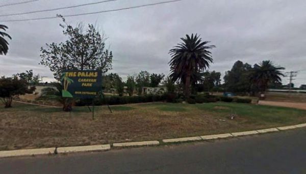
Entrance to the The Palms Caravan Park The Palms Caravan Park location map
, , , , , , , , , , ,
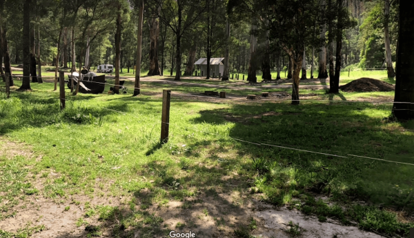
The Poplars Camping Ground
The Poplars Camping Ground has plenty of camping spots, a drop toilet and picnic tables ad fireplaces dotted throughout this campground, and close to the Loch River for those who want to take photos, or a bit of angling. The Poplars Camping Ground Th ...
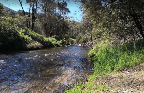
The Walnuts Campground
The Walnuts Campground is a nice grassy area with fireplaces and picnic tables next to the Snowy Creek. Overnight camps are permitted here, and it's a wonderful place for photography and maybe catch a fish for dinner. Entrance to the Walnuts Campground ...
, , ,
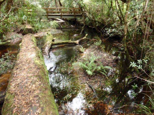
The Thurra River Rest Area has water on tap, but please treat it first before drinking, there are also picnic tables and a few BBQ's, there is also has a nice walk along the Drummer Creek, remember to take your camera with you. Entrance to the Thurra Riv ...
, ,
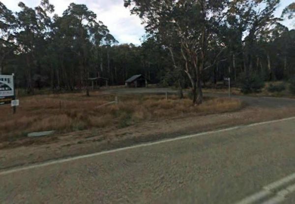
The Tolmie Rest Area has a toilet and a picnic table and overnight Camping is permitted here, there is a pub approx 100 metres from this rest spot. Entrance to Tolmie Rest Area Tolmie Rest Area location map
, , , ,
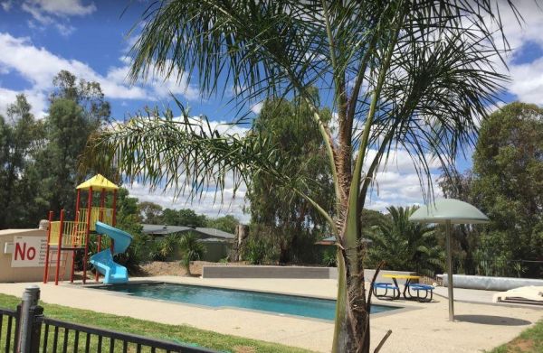
Entrance to the Tongala Caravan Park Tongala Caravan Park location map
, , , ,
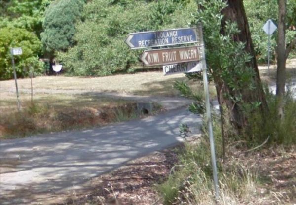
The Toolangi Streamside Reserve is fairly close to the Yea River, and there is a 24 hour stopover limit. There are toilets and rubbish bins here to make your visit pleasant. Toolangi Streamside Reserve location map
, ,
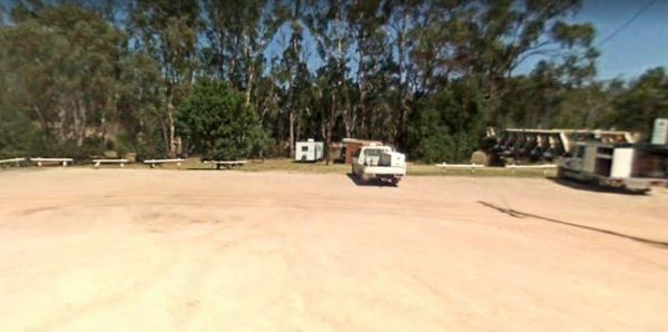
The Tooleybuc Park has a large gravel area to park your van or motorhome, and its close to the Tooleybuc bridge over the Murray River, and conveniently located across the road from a pub, so you can grab a meal while stopping here. Entrance to the Tooley ...
, , , ,

Entrance to the Toora Tourist Park Toora Tourist Park location map
, , , , , , , , , , , , , , ,
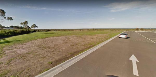
The Tooradin Foreshore Reserve is now a very active boat launching spot, the victorian government has removed boat launching fees for this location, and as such, parking is at a premium Entrance to the Tooradin foreshore camping Tooradin foreshore cam ...
, , , , ,
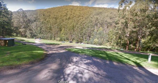
The Toorongo Falls Campground 1 has toilets, fireplaces, and plenty of room to choose a campsite alongside the Toorongo River. Firewood can be obtained from the Noojee General Store Toorongo Falls Campground 1 location map
, , ,
Entrance to the Torquay Foreshore Caravan Park Torquay Foreshore Caravan Park location map
, , , , , , , , , ,
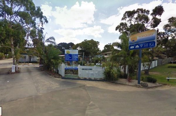
Entrance to the Torquay Holiday Park Torquay Holiday Park location map
, , , , , , , , , , , , , , ,
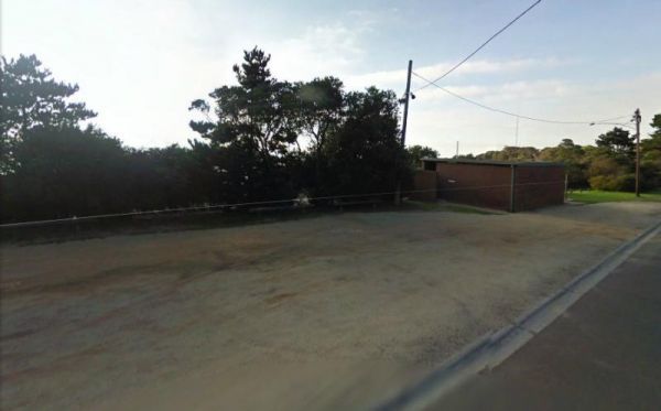
The Torquay Taylor Park Rest Area is a nice location next to the Ocean, Entrance to the Torquay Taylor Park Rest Area Torquay Taylor Park Rest Area location map
, , , ,
Tunnel Bend Camping Area
The Tunnel Bend Camping Area is located on the Howqua River. Checkout the surrounding hills for signs of the early gold mining activities such as the tunnel in the photos which diverted water so the Old timers could mine for gold. Tunnel Bend Camping Are ...
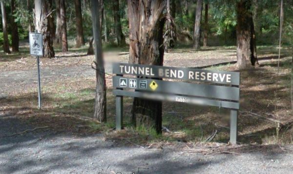
The Tunnel Bend Reserve Camping Area has toilets and plenty of choices to camp. There are also fire pits at this campsite which is located on the banks of the Upper Goulburn River. Entrance to the Tunnel Bend Reserve Camping Area Tunnel Bend Reserve C ...
The Twelve Mile Reserve Camping Area has some new picnic tables and public toilet. There's a fair bit of room to park near the Upper Goulburn River, so fishing kayaking and general relaxing is the order of the day. Entrance to the Twelve Mile Reserve Cam ...
The Underbool Park has plenty of room to park, public toilets and undercover bbq and picnic tables. There is also a public phone booth and a pub within walking distance. Entrance to the Underbool Park Underbool Park location map
, , ,
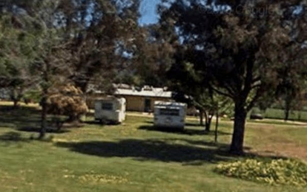
Entrance to the Valley View Caravan Park Valley View Caravan Park location map
, , , ,
The Vennells Camping Area Upper is on the banks of the Big River and there is not a lot of tent space available and best suited to 4x4's Vennells Camping Area Upper location map
The Vennells Camping Ground Lower is on the banks of the Big River. This campsite is best suited to vehicle based camping, as there is not a lot of suitable campsites available. Try out the kayak or try to catch a trout or two, it's up to you. Vennells C ...
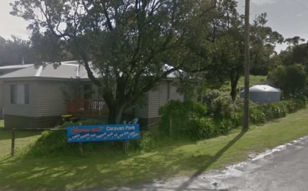
Entrance to the Venus Bay Caravan Park Venus Bay Caravan Park location map
, , , , , , , , , , ,
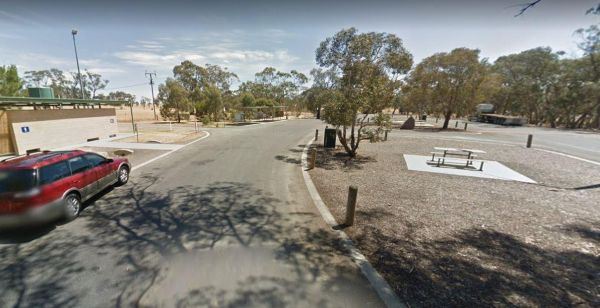
Victoria - South Australia Border Rest Area
The Victoria - South Australia Border Rest Area is a very large area, with plenty of shade and picnic tables. There are quite a few rubbish bins, an undercover picnic table, and a toilet block with wheelchair facilities. Entrance to the Victoria - South ...
, , ,
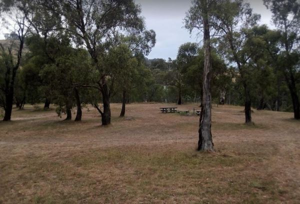
The Victoria Falls Campground has plenty of nice grassy camping spots to choose from, fixed fire places, a drop toilet, and a creek nearby to make this a beautiful spot to camp at. Victoria Falls Campground location map
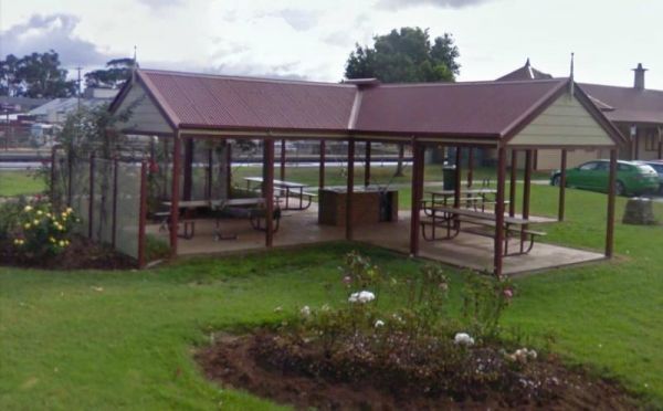
The Victory Park is located opposite the main Shopping strip. Great place to stop, grab a bite to eat, or stock up on food for your trip. Entrance to the Victory Park Victory Park location map
, , ,
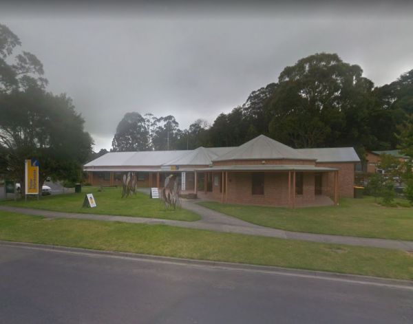
Visit Prom Country Information Centre, has Free Wi-Fi, very helpful and informative staff who will make sure you enjoy your visit to the area. They will also help you find the best accommodation to suite your needs.There is also plenty of room to park al ...
, , , , ,
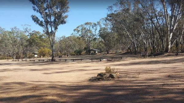
The Waanyarra Camping Grounds has lots of potential spots to pitch a tent or park a caravan. Try your luck at finding a few flakes of gold in the nearby Jones Creek, but don't get your hopes up if your a fisherman, as lack of water is a bit of a problem h ...
, ,
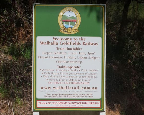
The Walhalla North Gardens is a lovely free campground in a nice historic location, linked back to the gold rush era, there are old mines and workings to explore in the area. A one hour sightseeing trip on the Walhalla train is well worth it. Entrance to ...
, , ,
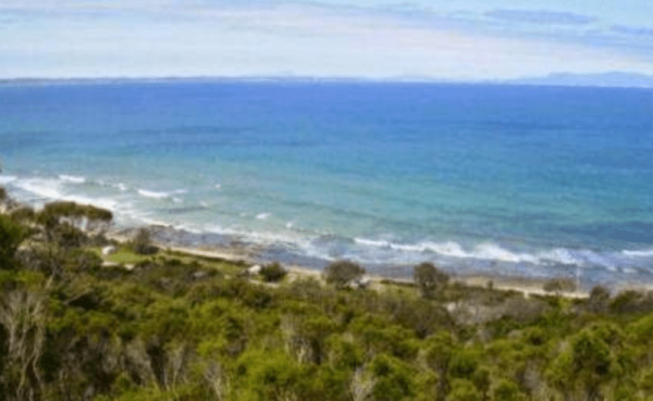
Walkerville Foreshore Camping Reserve
Entrance to the Walkerville Foreshore Camping Reserve Walkerville Foreshore Camping Reserve location map
, , , , , ,
The Walpeup Rest Area is a gravel area has undercover picnic tables, and a few rubbish bins and a BBQ's. Entrance to the Walpeup Rest Area Walpeup Rest Area location map
, ,
Wangaratta & Region Visitor Information Centre
The Wangaratta & Region Visitor Information Centre is located on the edge of town and has lots of information available about attractions in local area. Parking out the front is not suitable for caravans and large motorhomes. Entrance to the Wangarat ...
,
Wangaratta BIG4 - North Cedars Holiday Park
Entrance to the Wangaratta BIG4 - North Cedars Holiday Park Wangaratta BIG4 - North Cedars Holiday Park location map
, , , , , , , ,
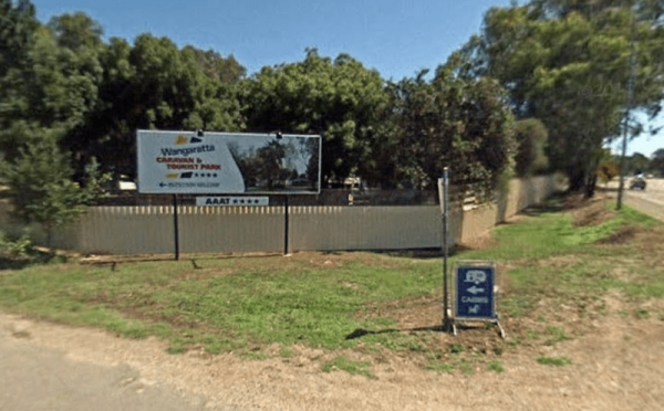
Wangaratta Caravan & Tourist Park
Entrance to the Wangaratta Caravan & Tourist Park Wangaratta Caravan & Tourist Park location map
, , , , , , , , , , , , ,
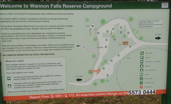
The Wannon Falls has a nice flat free Campground with plenty of tent and caravan spots. You will find an undercover shelter with picnic tables and a fireplace set in the brick wall. drop toilets, there is also non potable water available. When your here t ...
, ,
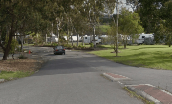
Entrance to the Wantirna Park Caravan Park Wantirna Park Caravan Park location map
, , , , , , , , , , ,
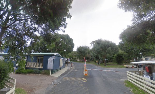
Waratah Bay Caravan Park
Entrance to the Waratah Bay Caravan Park Waratah Bay Caravan Park location map
, , , , , , , , ,
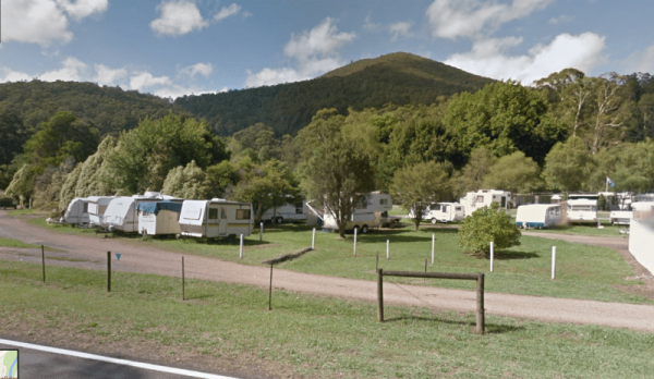
Entrance to the Warburton Caravan Camping Park Warburton Caravan Camping Park location map
, , , , , , , , , ,
The Warburton Visitor Information Centre is in the center of town, and is a good information on local and surrounding areas. Also has a native animal display and exhibition space which highlights local artists which includes hand made soaps and wines and ...
,
The Warburtons Bridge is a good free Campsite with a drop toilet, picnic tables and firepits is a quiet picturesque place. The Loddon River has yabbies, redfin and trout an blackfish This campsite is located approx 15km from Yarram and 5km from Won Wron i ...
Warrnambool Claremont Holiday Village
Entrance to the Warrnambool Claremont Holiday Village Warrnambool Claremont Holiday Village location map
, , , , , , ,
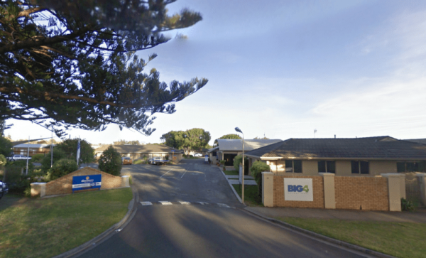
Warrnambool Discovery Holiday Parks
The Warrnambool Discovery Holiday Parks is only a short walk to Pertobe Park and the beach. This Caravan Park is a great place to stay a night or two if your on a trip along the Great Ocean Road. Entrance to the Warrnambool Discovery Holiday Parks War ...
, , , , , , , , , , ,
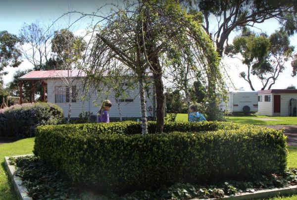
Warrnambool Holiday Park
Entrance to the Warrnambool Holiday Park Warrnambool Holiday Park location map
, , , , , ,
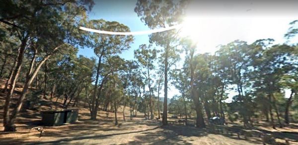
The Waterfalls Picnic and Campground has plenty of camping spots. Lots of picnic tables and fireplaces, and a drop toilet. Also you have quite a few hiking tracks to choose from, including an 18 km Pyrenees Endurance Walk. Entrance to the Waterfalls Picn ...
, , ,
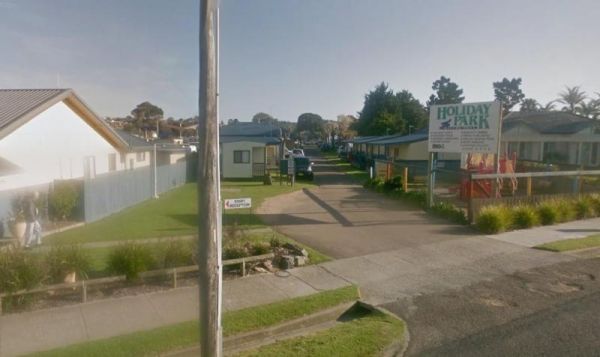
Waters Edge Holiday Park BIG4
Entrance to the Waters Edge Holiday Park BIG4 Waters Edge Holiday Park BIG4 location map
, , , , , , , , , , ,
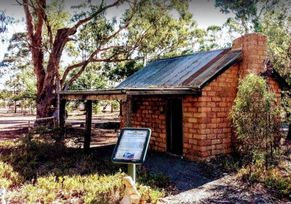
Wedderburn Pioneer Caravan Park
Entrance to the Wedderburn Pioneer Caravan Park Wedderburn Pioneer Caravan Park location map
, , , , , , ,
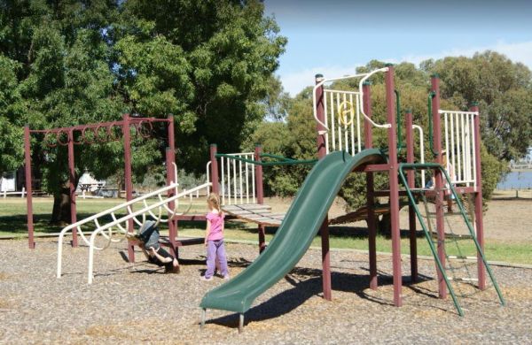
Welshmans Reef Caravan Park
Welshmans Reef Caravan Park location map
, , , , , , ,
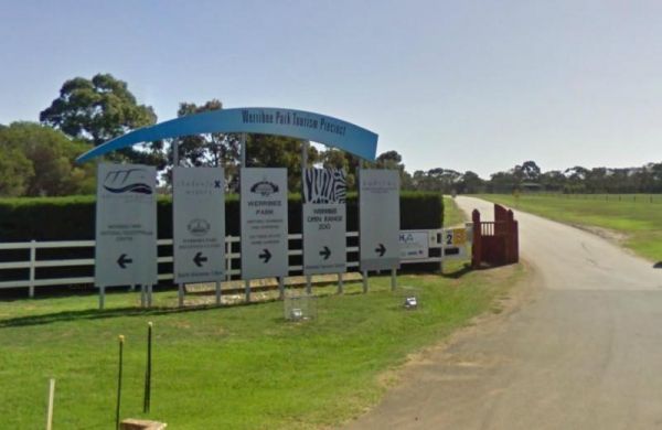
Entrance to the Werribee Open Range Zoo Werribee Open Range Zoo location map
, ,
Werribee South Beach Caravan Park
Entrance to the Werribee South Beach Caravan Park Werribee South Beach Caravan Park Location map
, , , , , , , ,
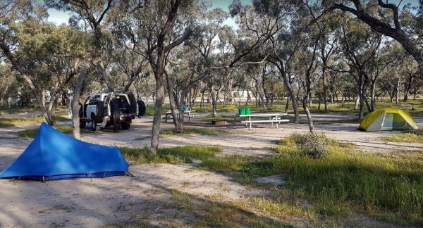
The Western Beach Camping Area has excellent toilets with lighting and tank water on tap. Western Beach Camping Area location map
, , ,
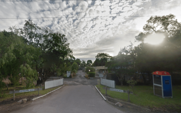
Western Port Harbour Caravan Park
Entrance to the Western Port Harbour Caravan Park Western Port Harbour Caravan Park location map
, , , , , ,
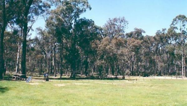
The Whipstick Campground is a well maintained clean camping area with an open shelter and 2 drop toilets. This campsite can get a bit noisy at night from vehicles passing by. Entrance to the Whipstick Campground Whipstick Campground location map
,
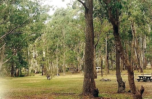
The White Womans Waterhole is a free campsite where fires are permitted, this is a large open area 4 kms from main road.drop toilet, remember to bring your own water. P.S. There is some interesting bit of local history attached here, and a few short walks ...
,
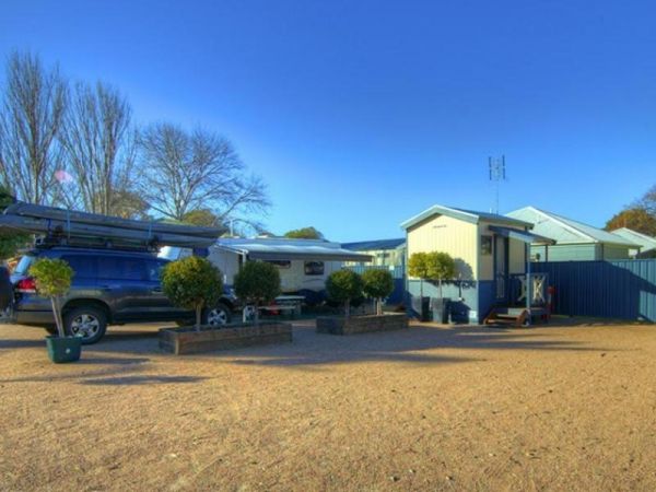
Whiters Holiday Village Big4
Entrance to the Whiters Holiday Village Big4 Whiters Holiday Village Big4 location map
, , , , , , , , , , ,
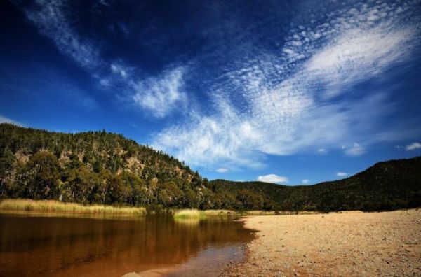
Willis Campground Area
The Willis Campground is close to the Snowy river, so plenty of water related activities when you setup camp here. Willis Campground location map
, ,
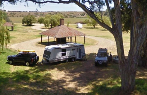
The Willow Park Free Camping area is a Free 24 Hour stop over. The Latrobe River has very large carp for the anglers out there. There is also a walking track into the township for the more active amongst us. Entrance to the Willow Park Free Camping Wi ...
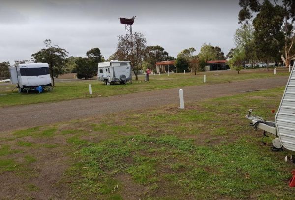
The Wimmera Lakes Caravan Resort Entrance to the Wimmera Lakes Caravan Resort Wimmera Lakes Caravan Resort location map
, , , , , , , , , , , , , , , , ,
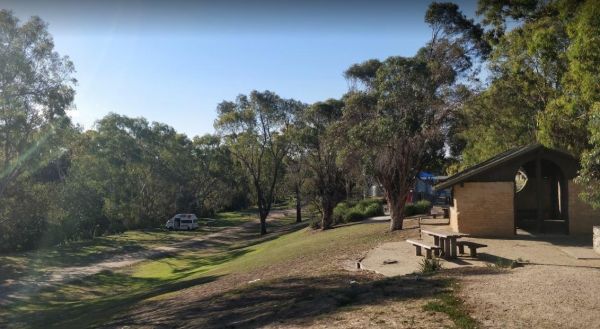
Winchelsea Park Rest Area
The Winchelsea Park Rest Area runs along the Barwon river, with lots of places to camp. There are public toilets and picnic tables at the Willis Street end. Entrance to the Winchelsea Park Rest Area Winchelsea Park Rest Area location map
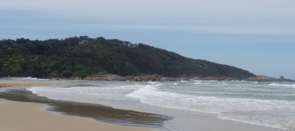
Wingan Inlet Campground
Wingan Inlet Campground is a series of smaller camping areas, and its a fair walk to the beach, approx 1.5km, but well worth it when you get there. Wingan Inlet Campground location map
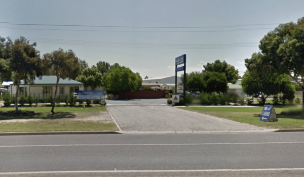
Entrance to the Wodonga Caravan & Cabin Park Wodonga Caravan & Cabin Park location map
, , , , , , , ,
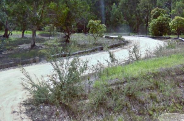
The Won Wron North Rest Area is set back a short distance from the Hyland Highway, it's a reasonably quiet stopover for a picnic. Entrance to the Won Wron North Rest Area Won Wron North Rest Area location map
,
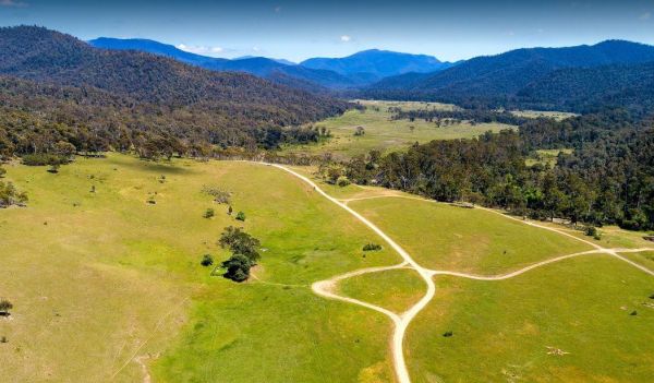
Wonnangatta Valley Camping Area
The Wonnangatta Valley Camping Area is a dedicated 4x4 enthusiasts camp. There is some history at this campsite and you can read the plaques to get an idea as to what it was like back when this land was settled. Please take extreme care visiting here, the ...
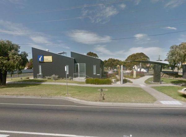
The Wonthaggi Visitor Information Centre is also a an Art Gallery, and a Gift shop, showing creative works from some of the local artists. It's worth stopping simply to check out the artwork, and get some expert advice on thing to see and do in Wonthaggi. ...
,
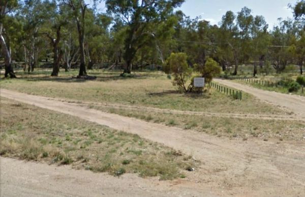
The Wood Wood Rest Area has NO CAMPING signs, so remember this if you intend to stop for an hour or two. It's also a bit on the tight side if your towing a van. Entrance to the Wood Wood Rest Area Wood Wood Rest Area location map
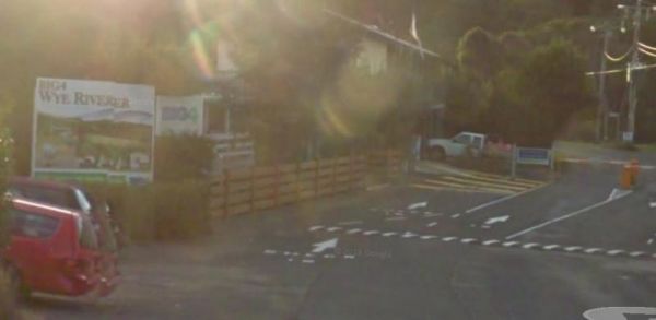
Entrance to the Wye River Holiday Park BIG4 Wye River Holiday Park BIG4 location map
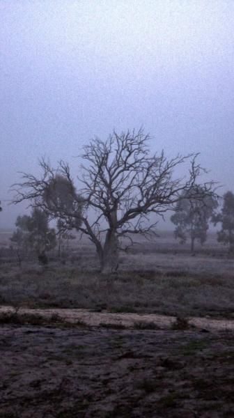
The Yaapeet Beach Camping Area, definitely not a good fishing destination. On average Lake Albacutya fills every twenty years or so. If you intend to camp here, bring plenty of drinking water with you. Yaapeet Beach Camping Area location map
, , ,
Yackandandah Holiday Park
Entrance to the Yackandandah Holiday Park Yackandandah Holiday Park location map
, , , , , ,
Entrance to the Yanakie Caravan Park Yanakie Caravan Park location map
, , , , , , , , ,
The Lance Moon Park is close to the Yanakie General Store, so you can grab a few supplies, and have a BBQ before you head off to your destination. Entrance to the Lance Moon Park Lance Moon Park location map
, , ,
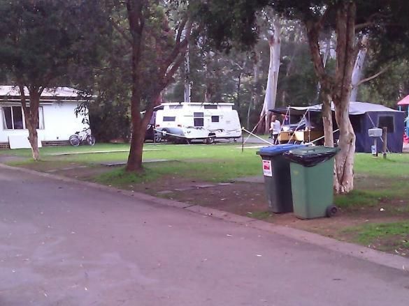
Yarra Valley Park Lane Holiday Park BIG4
Entrance to the Yarra Valley Park Lane Holiday Park BIG4 Yarra Valley Park Lane Holiday Park BIG4 location map
, , , , , , , , , , ,
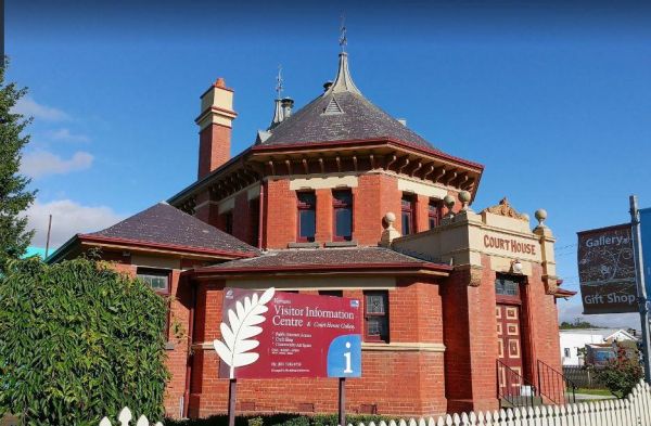
The Yarram Visitor Information Centre is operating out of the old court house and is open 10-4 in summer, and 10-3 in the winter, its a great source of information for the local area. Entrance to the Yarram Visitor Information Centre Yarram Visitor In ...
,
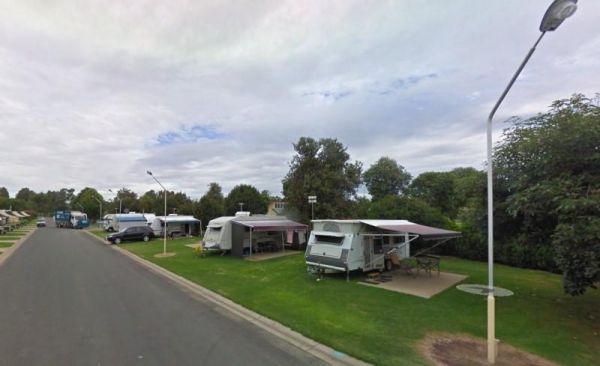
Yarrawonga Holiday Park
Entrance to the Yarrawonga Holiday Park Yarrawonga Holiday Park location map
, , , , , , , , , , , , ,
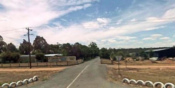
Yarrawonga Westside Caravan Park
Entrance to the Yarrawonga Westside Caravan Park Yarrawonga Westside Caravan Park location map
, , , , , , , ,
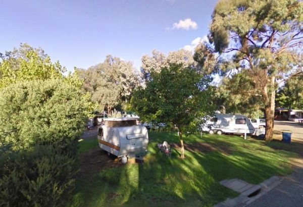
Entrance to the Yea Riverside Caravan Park Yea Riverside Caravan Park location map