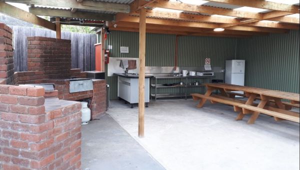
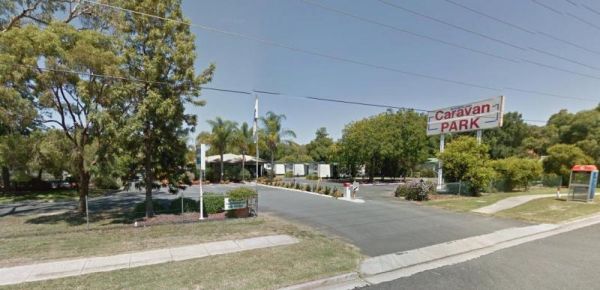
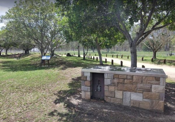
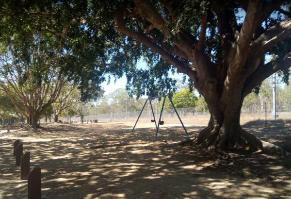
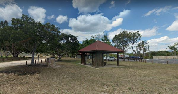
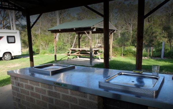
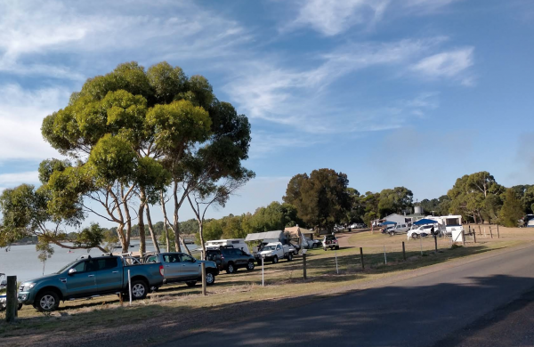
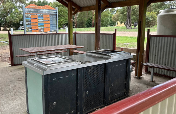
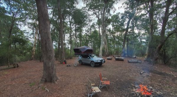
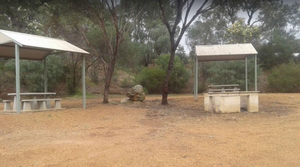
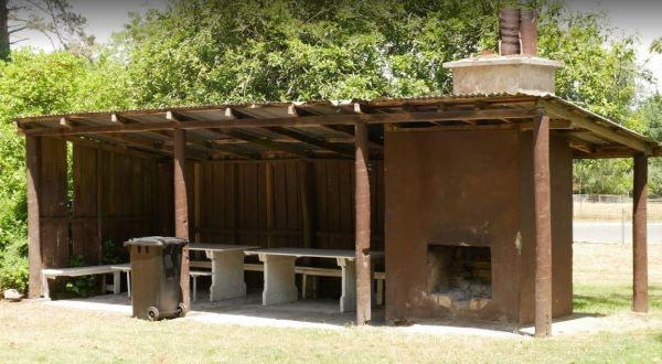
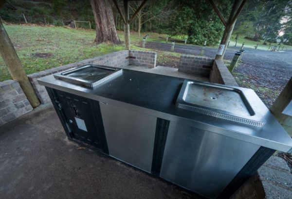
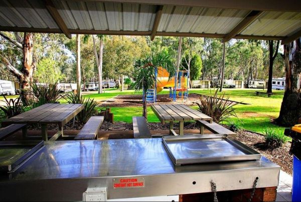
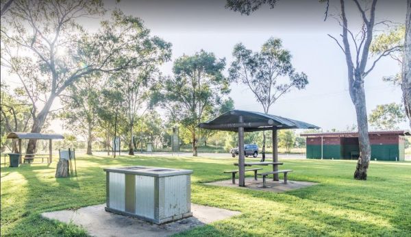
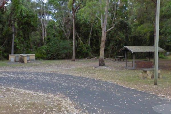
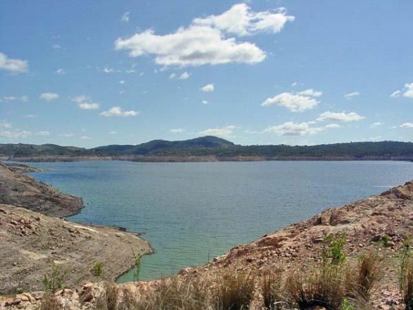
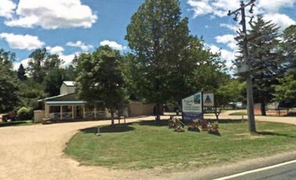
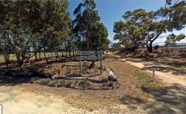
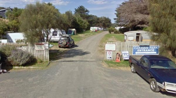
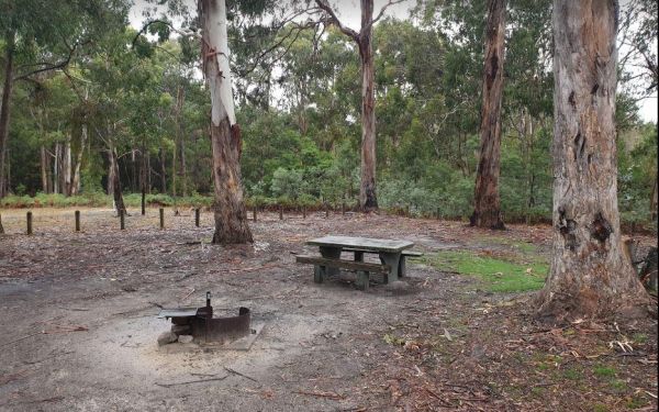
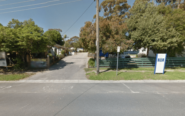
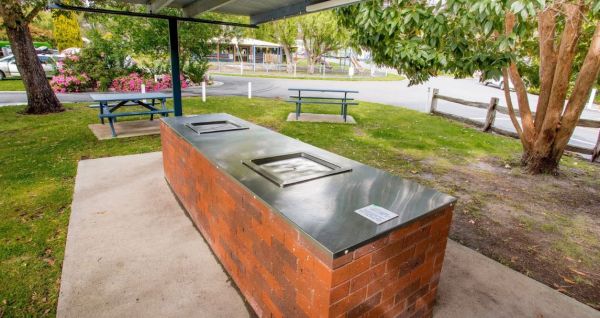
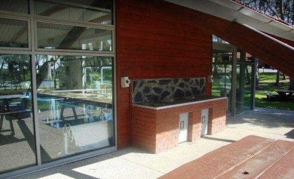
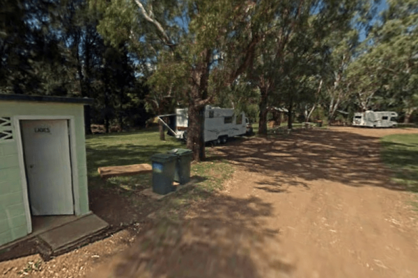
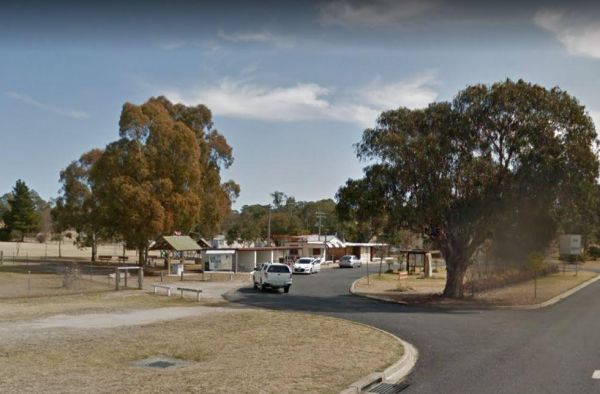
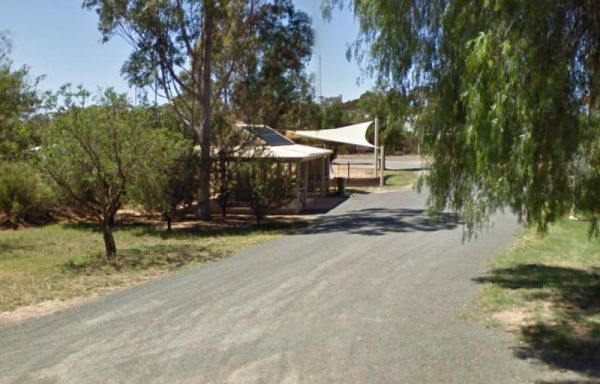
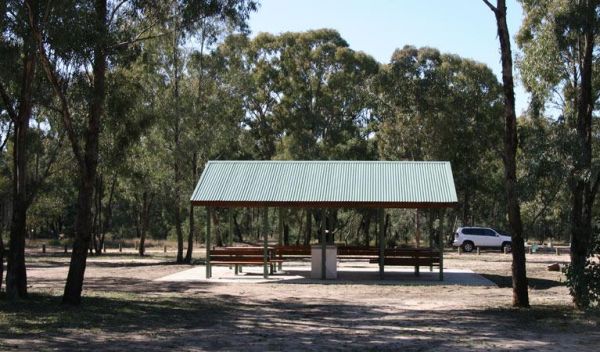
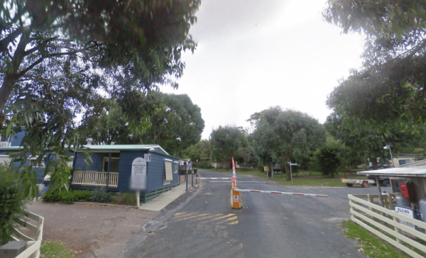
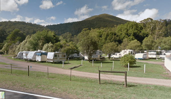
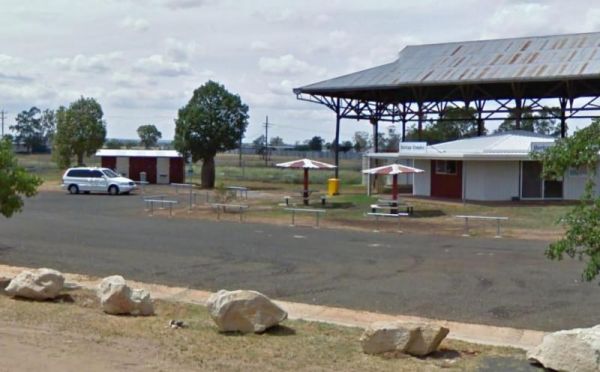
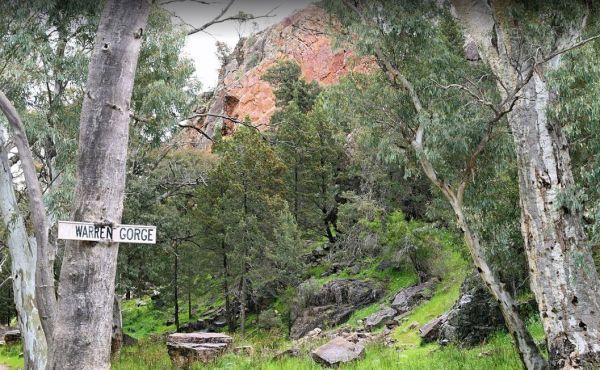
Facilities Available: BBQ
10 Mile Rocks Rest Area
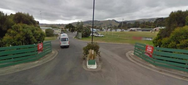
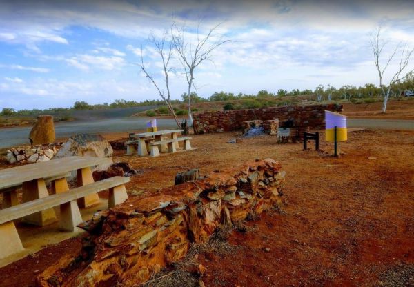
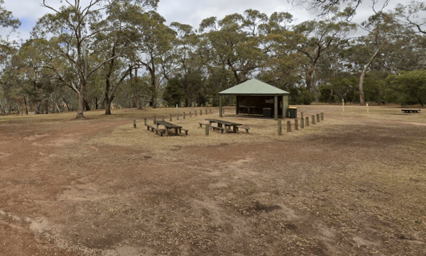
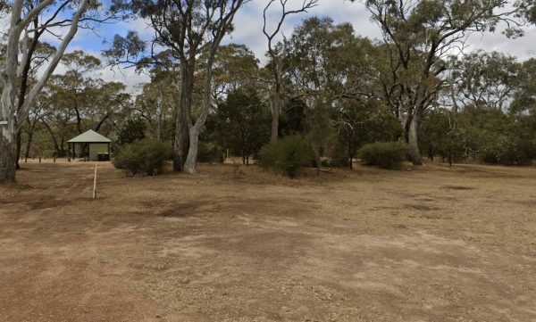
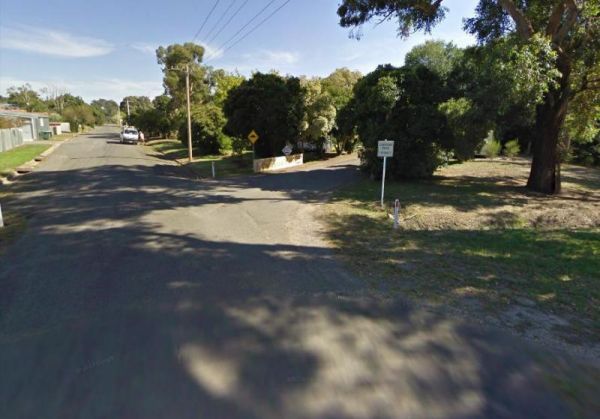
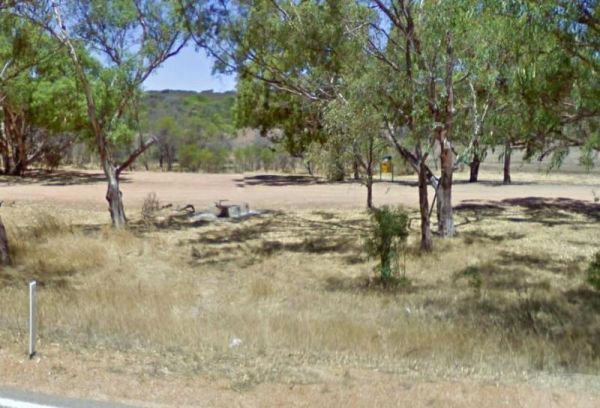
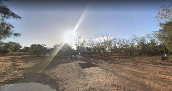
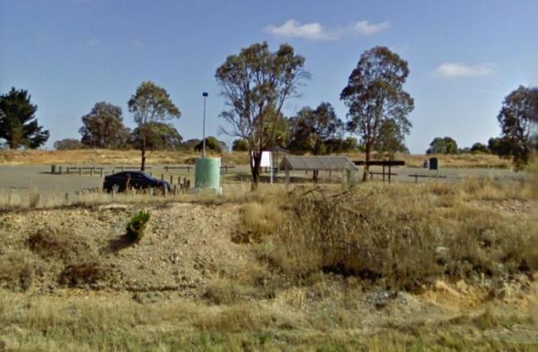
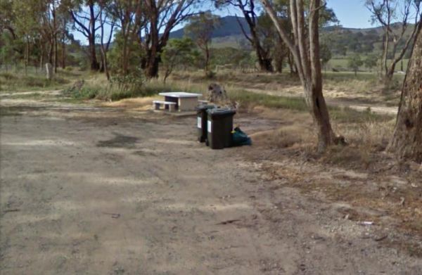
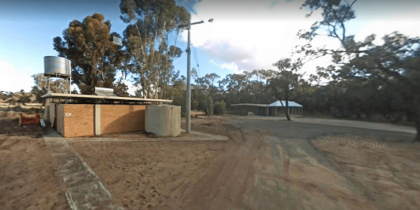
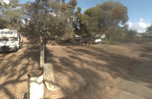
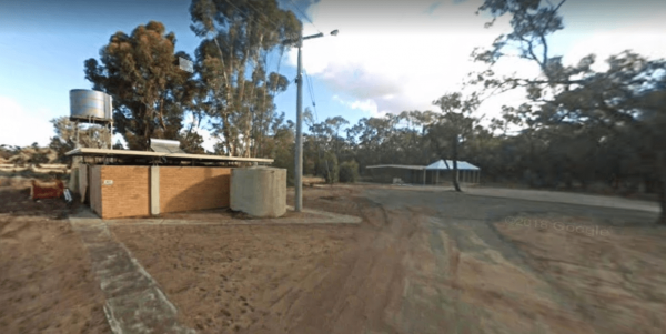
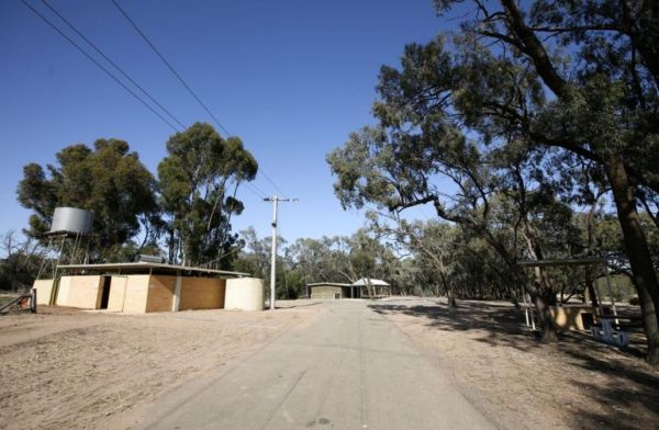
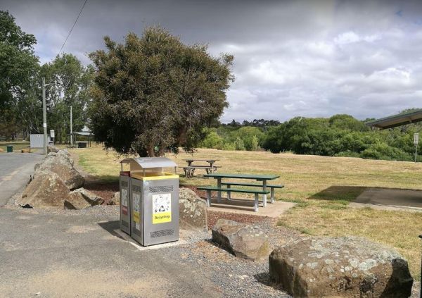
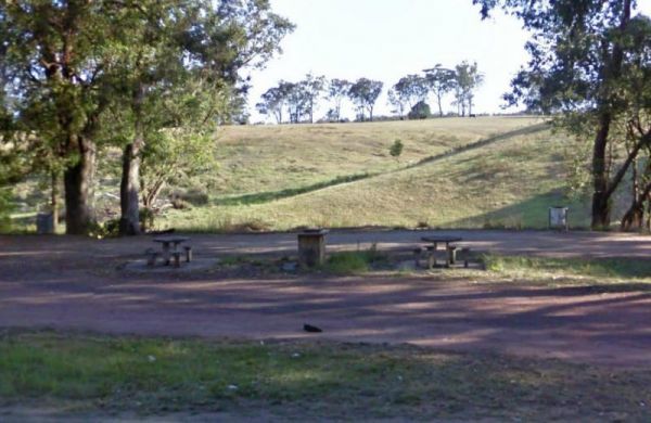
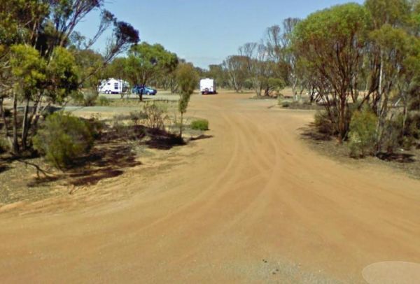
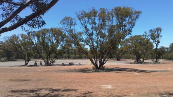
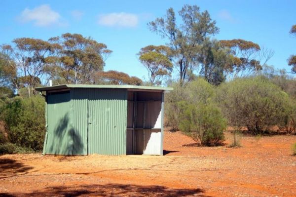
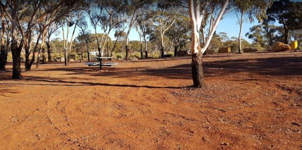
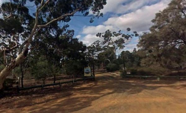
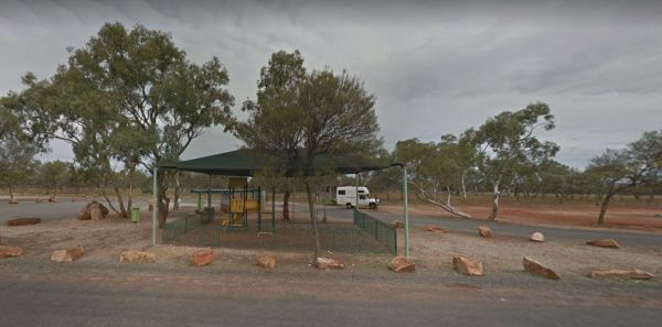
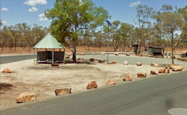
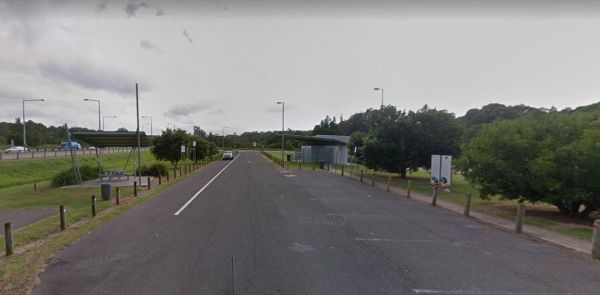
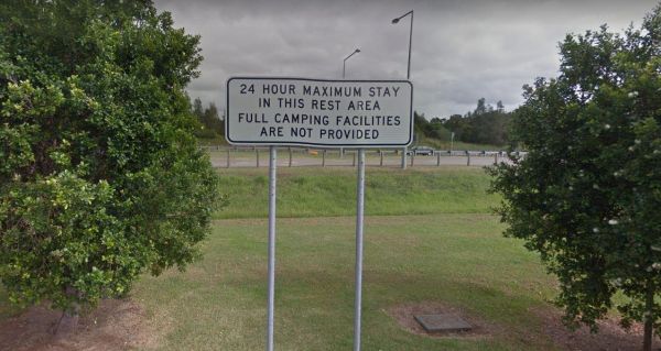
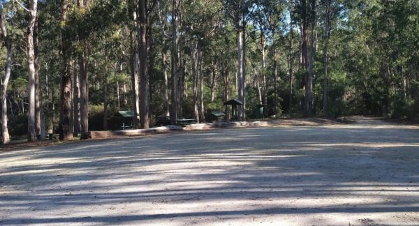
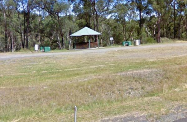
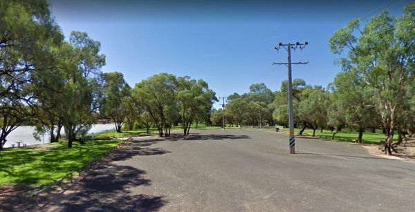
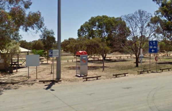
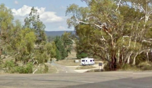
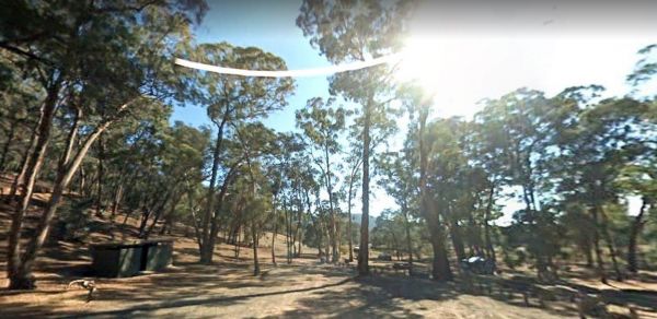
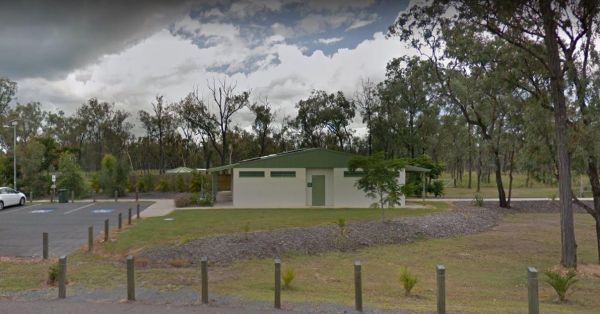
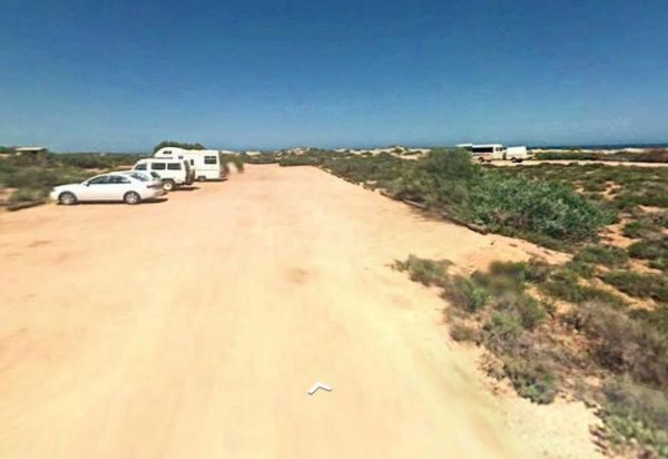
The 10 Mile Rocks Rest Area is a Nice and level with lots of space available to pull over and take a rest from driving, there is a 24 hour limit on stopping here. Entrance to the 10 Mile Rocks Rest Area 10 Mile Rocks Rest Area location map
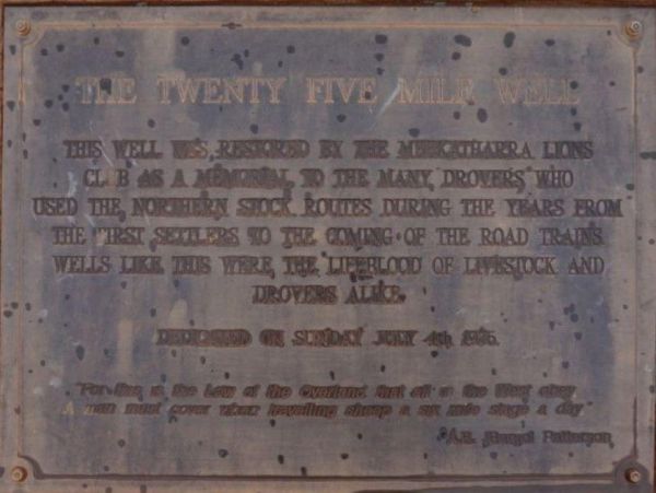
25 Mile Well Rest Area
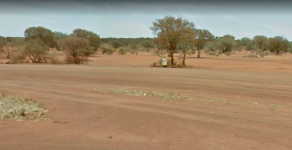
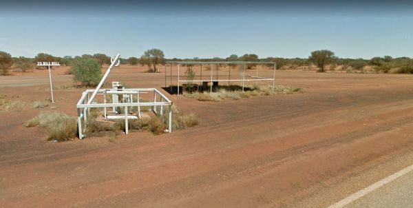
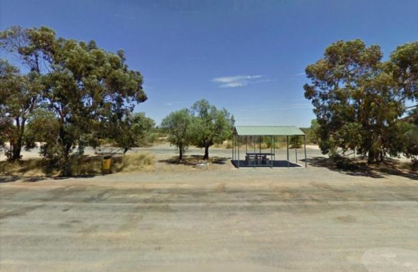
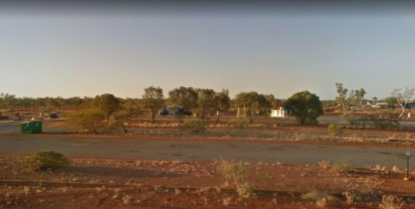
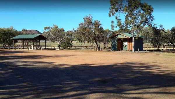
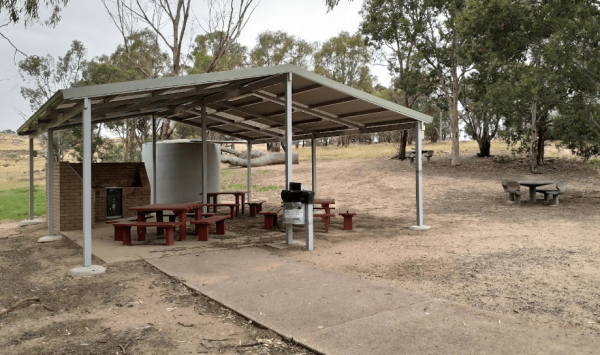
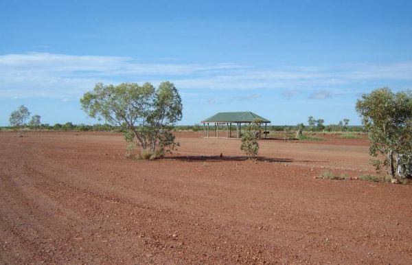
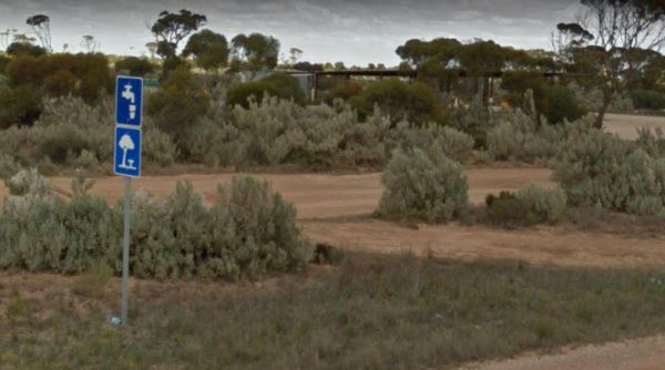
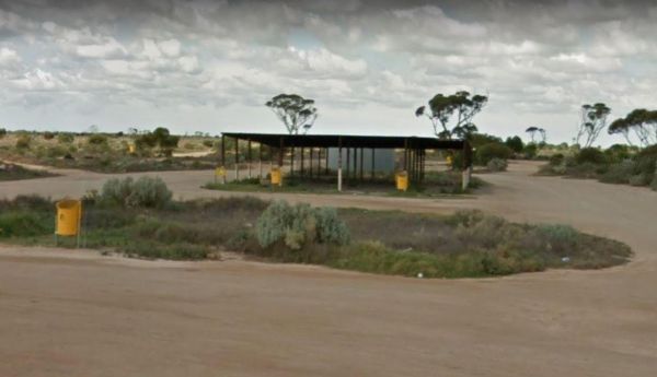
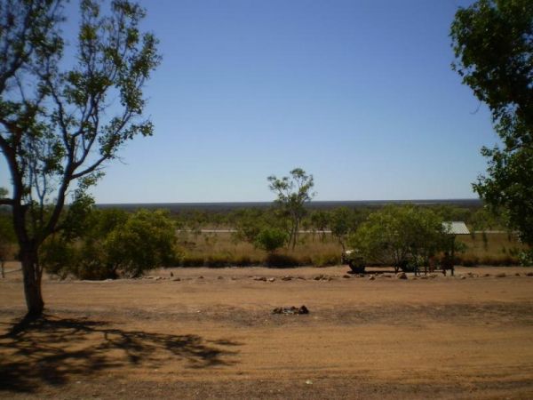
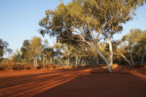
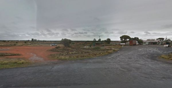
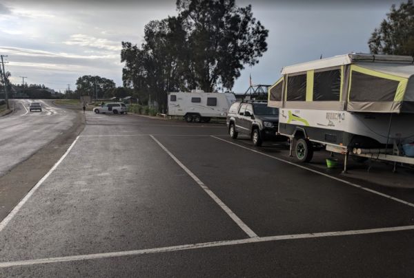
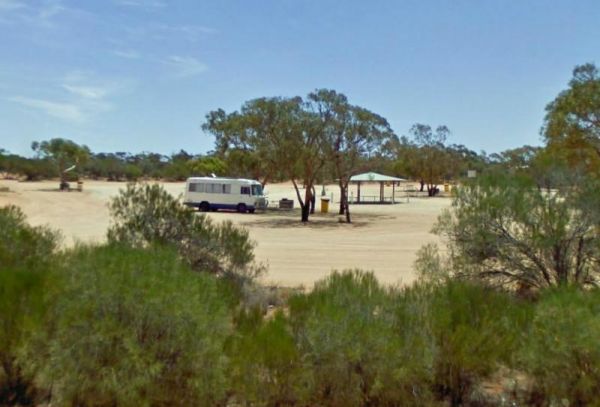
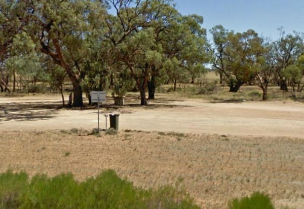
The 25 Mile Well Rest Area is a large gravel area just off the Great Northern Highway. This rest spot has plenty of level ground to park your caravan on, but very limited shade. There are rubbish bins, and an undercover picnic table located next to the hi ...
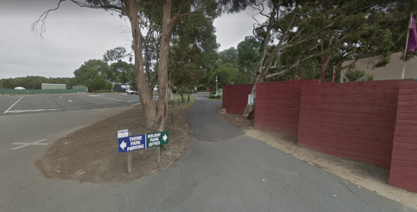
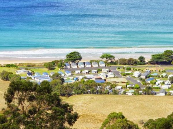
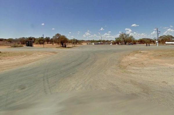
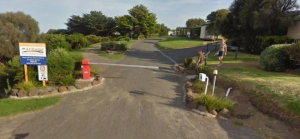
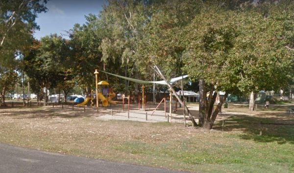
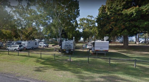
The A Maze'N Things Holiday Park has a lot to offer for the littlies, with a theme park walking distance to where you camp, the caravan park is not too far from island attractions it's a short drive to everything, including beaches and town. Entrance to ...
A'wangralea Caravan Park
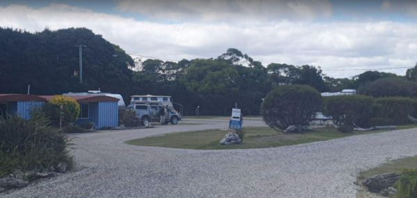
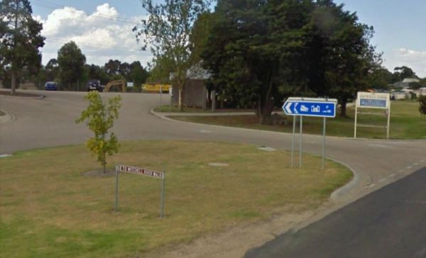
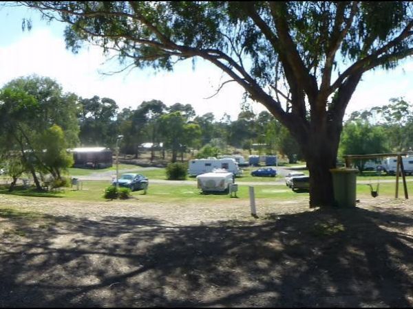
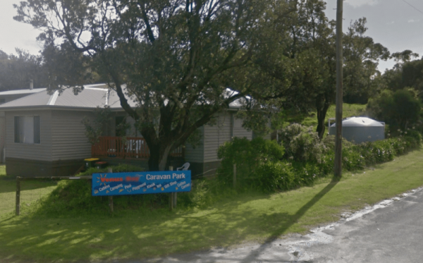
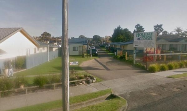
The A'wangralea Caravan Park is located in central Mallacoota although it is a older small park it does have clean amenities and is dog friendly. Entrance to the A'wangralea Caravan Park A'wangralea Caravan Park location map
AAOK Lakes Resort & Caravan Park
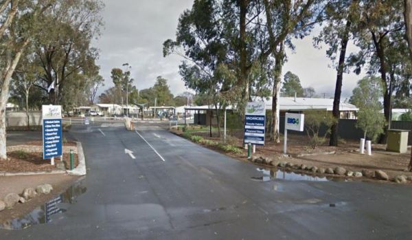
Entrance to the AAOK Lakes Resort & Caravan Park AAOK Lakes Resort & Caravan Park location map
Entrance to the Abbotts Tank Rest Area Abbotts Tank Rest Area location map
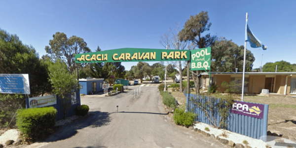
The Acacia Caravan Park is located on the outskirts of Ararat it's a Small friendly caravan park. Amenities are spotless. Quiet and dog friendly.
Ada River Camping Area
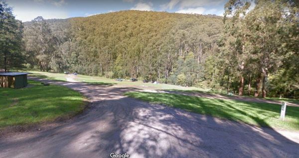
The Ada River Campground is a set among tall gum trees with plenty of room for your caravan to spend a pleasant day or two. You have drop toilets onsite, you will also find fireplaces with picnic tables are scattered everywhere, so you don't have to worry ...
Adelaide River Showgrounds
Bar open from 4pm Thursday – Sunday. Meals available 6pm-8pm Thursday-Sunday PETS are welcome however, MUST be on a leash at all times. (Subject to our discretion). Entrance to the Adelaide River Showgrounds
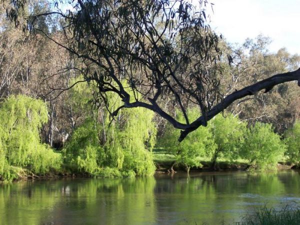
The Agnes River Rest Area is a short walk from the Agnes River which has steep banks, so access is a bit difficult to get to the water. But you can have a BBQ and enjoy the scenery, while resting. Entrance to the Agnes River Rest Area Agnes River Rest ...
The AH Youngs Camping Area has large grassy areas to park your caravan or pitch a tent and the clear waters of the Buckland river are within easy walking distance from your campsite. AH Youngs Camping Area location map
Aireys Inlet Holiday Park
The Aireys Inlet Holiday Park is very busy during holiday season, so make sure you call first, to see if there any sites available for your intended stay. Entrance to the Aireys Inlet Holiday Park Aireys Inlet Holiday Park location map
Entry from Cardinia Street (Gate 5) Please book ahead Entrance to Akoonah Park Camping & Caravan Park
A Market is Held on the 2nd Saturday of Every Month Entrance to Alexandra Showgrounds Caravan Park
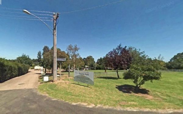
The Alexandra Tourist Park is located on the edge of the Alexandra. Pets are allowed here. Entrance to the Alexandra Tourist Park Alexandra Tourist Park location map
Entrance to the Alice Springs Tourist Park Alice Springs Tourist Park location map
Not suitable for Camper trailers that need to hammer pegs into the ground Suitable for caravans and camper trailers up to 10 metres in length Entrance to the Alivio Tourist Park Alivio Tourist Park location map
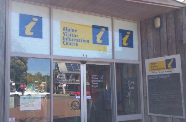
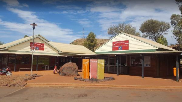
The Alpine Visitor Information Centre is located n the township of Bright and open seven days a week (excluding Christmas day). Entrance to the Alpine Visitor Information Centre Alpine Visitor Information Centre location map
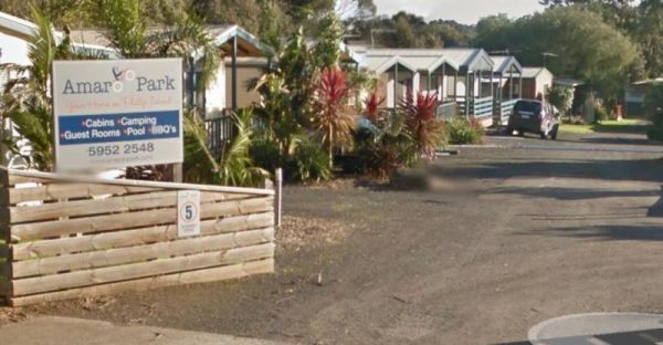
The Amaroo Park located in central Cowes on Phillip Island, is within easy walking distance to Coles and Woolworths, so stocking your larder should be easy. Entrance to the Amaroo Park Amaroo Park location map
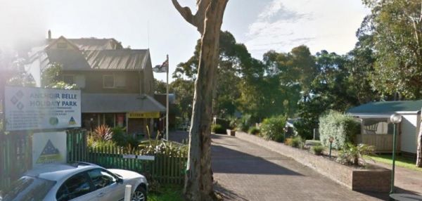
The Anchor Belle Holiday Park is a great spot to base your camp, while you investigate the sights of Phillip Island. Oh and don't forget the caravan park has a heated swimming pool. Entrance to the Anchor Belle Holiday Park Anchor Belle Holiday Park l ...
Andersons Garden Camping Area
The Andersons Garden Camping Area Is now bollarded off so you won't be able to get a camper trailer in to any of the camp spots. So its Tents only and not a lot of car spaces at this popular location. Located in the Mount Disappointment State Forest with ...
Anglers Rest Campground Area
The Anglers Rest Campground remember the Blue duck inn is a short walk so food and beer in walking distance if you forget to bring some or run out. This campsite is a beautiful location to swim, walk, kayak and explore, and can get very busy during public ...
The Anglesea Beachfront Family Caravan Park is spread over a large area, and be aware that their spa is an additional payment exclusive of entry costs. Entrance to the Anglesea Beachfront Family Caravan Park Anglesea Beachfront Family Caravan Park loc ...
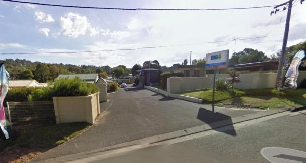
The Anglesea Holiday Park BIG4 be sure to check out the indoor heated pool and toddler water park when staying here. Entrance to the Anglesea Holiday Park BIG4 Anglesea Holiday Park BIG4 location map
The Anglesea Lions Park Reserve Rest Area has a BBQ with a handy Playground for the kids plus Toilets, and its within easy walking distance to the Anglesea River to catch a meal or watch the boats go by. Entrance to the Anglesea Lions Park Reserve Rest A ...
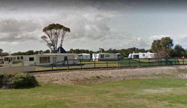
Apex Caravan Park
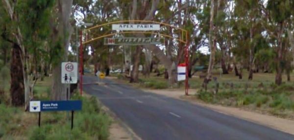
The Apex Caravan Park Entrance to the Apex Caravan Park Apex Caravan Park location map
The Apex Club Caravan Park is a good place to base yourself for exploring many attractions like Phillip Island, Venus Bay etc, all are only a short drive away. Entrance to the Apex Club Caravan Park - Leongatha Apex Club Caravan Park - Leongatha locat ...
The Apex RiverBeach Holiday Park on the banks of the Murray River, and only 5 minutes away from town so stocking your larder is very easy. Entrance to the Apex RiverBeach Holiday Park Apex RiverBeach Holiday Park location map
Apollo Bay Holiday Park
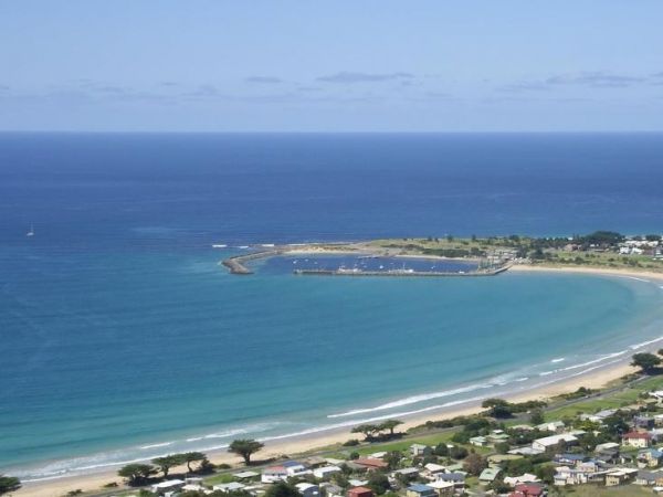
The Apollo Bay Holiday Park has a heated swimming pool and is only minutes away from the sandy beach. Entrance to the Apollo Bay Holiday Park Apollo Bay Holiday Park location map
Apollo Bay Pisces Holiday Park Big4
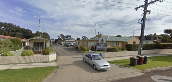
The Apollo Bay Pisces Holiday Park Big4 is a nice location on a hill overlooking the beach and it has a heated pool that is open to 8pm. Entrance to the Apollo Bay Pisces Holiday Park Big4 Apollo Bay Pisces Holiday Park Big4 location map
Apollo Bay Recreation Reserve
The Apollo Bay Recreation Reserve is a nice place for people wanting to camp with dogs, there is a beautiful river and access to the beach nearby. Entrance to the Apollo Bay Recreation Reserve Apollo Bay Recreation Reserve location map
Entrance to the Araluen Creek Rest Area Araluen Creek Rest Area location map
The Archers Crossing Camping Area (Southside) is on the banks of the Condamine River. There are Fireplaces BBQ's, a few picnic tables and some shade trees. You might like to pop your kayak into the river and try to catch a fish for dinner. Archers Crossi ...
Ariah Park Campground
Entrance to the Ariah Park Campground Ariah Park Recreation Reserve location map
Entrance to the Armidale Tourist Park Armidale Tourist Park location map
Arrowsmith Rest Area
The Arrowsmith Rest Area is on a gravel surface just off the Brand Highway. There is a public toilet and an undercover picnic tables and rubbish bins, and BBQ fireplaces. No Overnight Camping Permitted This is strictly a Rest Area Only Entrance to the Ar ...
Arthur River Cabin Park
The Arthur River Cabin Park Entrance to the Arthur River Cabin Park Arthur River Cabin Park location map
The Arve River Picnic Area Entrance to the Arve River Picnic Area Arve River Picnic Area location map
Ascot Holiday Park BIG4
The Ascot Holiday Park BIG4 Entrance to the Ascot Holiday Park BIG4 Ascot Holiday Park BIG4 location map
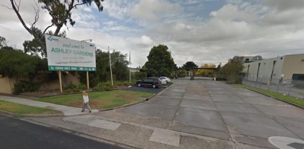
The Ashley Gardens BIG4 is within walking distance to the Highpoint shopping centre. there are no free games in the game room and you will also pay if you want to use the sauna. Entrance to the Ashley Gardens BIG4 Ashley Gardens BIG4 location map
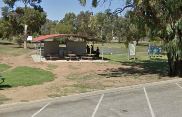
The Atkinson Park Rest Area is a well established rest area, you will find a toilet block, undercover BBQs and picnic tables overlooking a small lake. There is plenty of room to park and a few handy rubbish bins as well. Entrance to the Atkinson Park Res ...
Attack Creek Rest Stop
Entrance to the Attack Creek Rest Stop Attack Creek Rest Stop location map
Entrance to the Austin Tourist Park Austin Tourist Park location map
The Avoca Lions Park Free Camping Area, is on the banks of the Avoca River in the heart of the Avoca township. You will find a playground an electric barbecue and a large gazebo with two picnic tables, and a water tap on the side of the gazebo.. On top of ...
Avondel Caravan Park
The Avondel Caravan Park is opposite the Calder Highway on the outskirts of Bendigo. An IGA and cafe are also within easy walking distance of this Caravan Park. Entrance to the Avondel Caravan Park Avondel Caravan Park location map
The Baan Hill Reserve Picnic Area has rainwater tanks, toilets and a covered picnic table. This is a popular spot for the 4x4 enthusiasts, and it's not far from the Ngarkat Conservation Park HIstoric site. Baan Hill Reserve Picnic Area location map ...
The Babinda Rotary Park Campground is on the banks of the Babinda Creek with plenty of room to park all sized rigs. There are picnic tables, rubbish bins and a toilet block. With a potable water tap in the shower room. The Dump point is next to the toilet ...
Entrance to the Baden Park Rest Area Baden Park Rest Area location map
The Baileys Rocks Camping Area claim to fame is the world’s largest river red gum named the Bilston’s Tree.Note: No Generators, No Quadcopters and No Dogs permitted here. Entrance to the Baileys Rocks Camping Area Baileys Rocks Camping Area location m ...
The Balgal Beach Foreshore Reserve Camping Area #2 In order to protect the comfort of local residents and other visitors it is asked that all campers keep their site clean and tidy and not behave in an unruly manner. Please do not set up your camp (whethe ...
The Ball Bay Foreshore Reserve Camping Area has Public Toilets and Hot Water, BBQ's, Picnic Tables and Rubbish Bins. right on the edge of the Coral Sea.Local Council Attendants visit daily to collect fees. Contact: Mackay Regional Council on 1300 622 529 ...
The Ballarat Goldfields Holiday Park Big4 is located not far from Lake Esmond, and the Lake Esmond Botanical Park is worth a visit if you stay at this caravan park. Entrance to the Ballarat Goldfields Holiday Park Big4 Ballarat Goldfields Holiday Park ...
The Ballarat Windmill Holiday Park BIG4 also has a Sauna, Mini Gym, Indoor Sandpit, Exercise Facilities including a treadmill. It's also a short walk to the Winters Swamp, be sure to take your camera with you. There are lots of things to keep you entertai ...
The Balmattum Rest Area is a large asphaled area with plenty of room for semis and the biggest camping rigs. Here you will also find undercover picnic tables and a few rubbish bins, plus a toilet block. Entrance to the Balmattum Rest Area (Northbound) ...
Entrance to the Barbour Park 48 Hour Limit Barbour Park 48 Hour Limit location map
The Barham Caravan & Tourist Park is located on the banks of the Murray River. So it's time to wet the bottom of your kayak and go for a paddle and explore the river. Entrance to the Barham Caravan & Tourist Park. Barham Caravan & Tourist ...
Entrance to the Barham Lakes Caravan Park Barham Lakes Caravan Park location map
The Barilla Holiday Park Entrance to the Barilla Holiday Park Barilla Holiday Park location map
If staying overnight at Barmedman Mineral Pool Rest Area Camping Fees apply. Walk down Barmedman Rd to the pubs and main strip shopping centre. Entrance to the Barmedman Mineral Pool Rest Area Barmedman Mineral Pool Rest Area location map
The Barmera Apex Park Rest Area is a gravel area within easy walking distance to the Lake Bonney. The lake is quite shallow here, so it's not a bad spot to have a splash with the kids. Entrance to the Barmera Apex Park Rest Area Barmera Apex Park Rest ...
Entrance to the Barraba Lions Park Rest Area Barraba Lions Park Rest Area location map
The Barradale Rest Area has plenty of level space just off the North West Coastal Highway. There are picnic tables, rubbish bins, and lots of room to move. Be careful if you decide to go further off the rest area in wet weather, you might get bogged and h ...
Barwon Heads Caravan Park
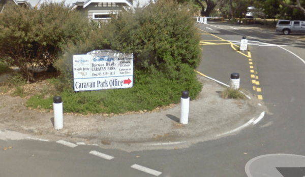
The Barwon Heads Caravan Park is very busy during peak holiday periods, so its advisable to pre book so you won't be disappointed. Entrance to the Barwon Heads Caravan Park Barwon Heads Caravan Park location map
The Beach Park Tourist Caravan Park is close to the Beach, you might also get to see a few possums and wallabies right next to your campsite if your lucky. Entrance to the Beach Park Tourist Caravan Park Beach Park Tourist Caravan Park location map
Beacon Resort BIG4
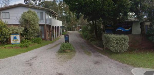
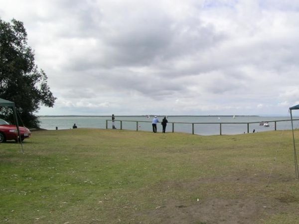
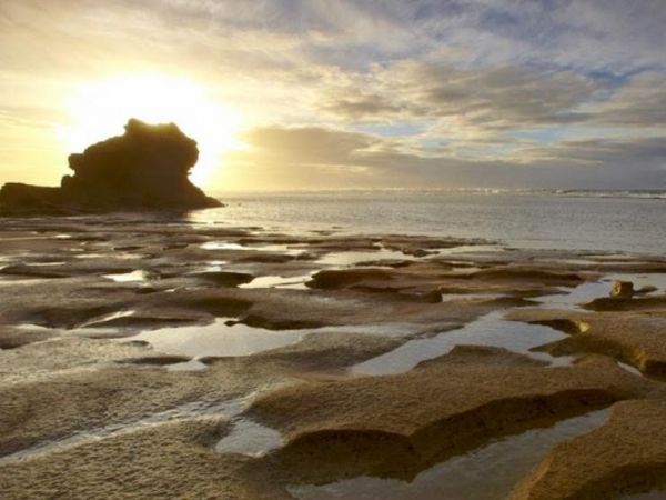
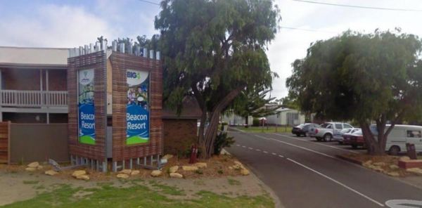
The Beacon Resort BIG4 lots of things for the children to be kept bury with, they even have a kids club where they can participate in many activities. Entrance to the Beacon Resort BIG4 Beacon Resort BIG4 location map

Beardy Waters Rest Area
Entrance to the Beardy Waters Rest Area Beardy Waters Rest Area location map
Beau Morton Park Rest Area
The Beau Morton Park Rest Area is adjacent Racecourse lake and there are a few trees for shade. Here there is enough room to pull over with your caravan and take a break from driving. Entrance to the Beau Morton Park Rest Area Beau Morton Park Rest Ar ...
Beauty Point Tourist Park
The Beauty Point Tourist Park Entrance to the Beauty Point Tourist Park Beauty Point Tourist Park location map
Beechworth Holiday Park
The Beechworth Holiday Park is just a 2km easy walk along a bush track to town, and a 3km gentle walk to a lake for those who like beautiful scenery.Beechworth itself is a well preserved gold town Entrance to the Beechworth Holiday Park Beechworth Hol ...
Beechworth Lake Sambell Caravan Park
Entrance to the Beechworth Lake Sambell Caravan Park Beechworth Lake Sambell Caravan Park location map
Bellarine Holiday Park BIG4
The Bellarine Holiday Park BIG4 is well maintained with generous sites allocated to camping. there are plenty of activities to keep the kids occupied, and there is a bmx track and a flying fox , an undercover swimming pool, along with a shaded playground ...
Entrance to the Bellingen Shire Tourist Information Centre Bellingen Shire Tourist Information Centre location map
Bemm River Caravan Park
The Bemm River Caravan Park is a nice spot to have a base camp if you like fishing or simply relaxing, They have installed new amenities block, so everything is spotless, and you can bring your pet along with you when you camp here. You are also within wa ...
The Benalla North Truck Parking Rest Area Northbound is a large area suitable for all sized rigs. There are toilets onsite and undercover picnic tables, also a few rubbish bins here and there. Entrance to the Benalla North Truck Parking Rest Area (Northb ...
The Benaraby Public Campgrounds has a public toilet, picnic tables, bbq's and some rubbish bins. You can also get a cold shower here, and get some tap water. Entrance to the Benaraby Public Campgrounds Benaraby Public Campgrounds location map
Entrance to the Holiday Haven Bendalong Holiday Haven Bendalong location map
Bendemeer Park Rest Area is a REST AREA ONLY NO CAMPING Allowed. Entrance to the Bendemeer Park Rest Area Bendemeer Park Rest Area location map
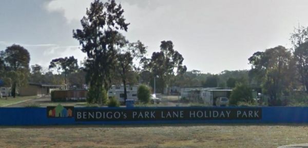
Bendigo Park Lane Holiday Park is reasonably level for camping and has lots of activities for the kids. They have an indoor play centre which is fantastic for the kids, and there is even a movie night for them. Entrance to the Bendigo Park Lane Holiday P ...

Best Friend Holiday Retreat
Best Friend Holiday Retreat is closed between May, to mid-September, each year. A campsite that is truly dog friendly Entrance to the Best Friend Holiday Retreat Best Friend Holiday Retreat location map
The Bethune Park Camping Area has a 7 Day camping limit. There is some level ground but no shade. and public toilets. You can walk down to the lake and have a go at fishing, or take your camera to catch some wildlife. Entrance to the Bethune Park Camping ...
Entrance to the Bicentennial Gardens Rest Area Bicentennial Gardens Rest Area location map
The Bicheno Caravan Park & Takeaway Food Entrance to the Bicheno Caravan Park & Takeaway Food Bicheno Caravan Park & Takeaway Food location map
Entrance to the Big Spring Creek Rest Area Big Spring Creek Rest Area location map
Entrance to the Binalong Rest Area 24 Hour Limit Binalong Rest Area 24 Hour Limit location map
The Bindoon Hill Rest Area is on both sides of the Great Northern Highway. There is a public toilet, some shade, picnic tables and BBQ's with room to park your caravan. Entrance to the Bindoon Hill Rest Area Bindoon Hill Rest Area location map
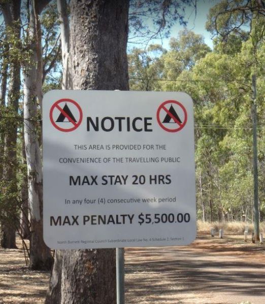
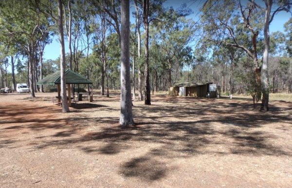
The Binjour Range Rest Area has a 20 Hour Limit for stopovers. There are large areas to park your cavanan under tall shady trees. There is a public toilet, undercover picnic tables and some rubbish bins with some of the Burnett Highway traffic noise being ...
Black Spur Motel & Caravan Park
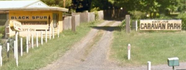
The Black Spur Motel & Caravan Park is a quiet spot in an old growth forest, its a nice place to bring your dog for a day to relax. Entrance to the Black Spur Motel & Caravan Park Black Spur Motel & Caravan Park location map
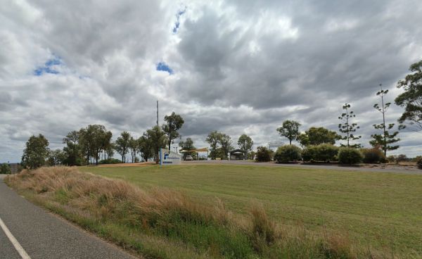
The Black Stump Mundubbera Rest Area has a 20 Hour Maximum Stay per month in place. There is a playground for children, undercover picnic tables and some rubbish bins, plus a driver reviver to make your visit pleasant. Entrance to the Black Stump Mundubb ...
Th Blackwood Mineral Springs Caravan Park is located opposite the mineral springs. You can fill your water bottles for free. A nice older style park with clean facilities set amongst tall trees. Entrance to the Blackwood Mineral Springs Caravan Park B ...
To stay at the Blue Range Hut Recreation area, Bookings are essential, as you will not be able to get inside the locked gate unless you book prior. Phone 6205 8794 or book online. Blue Range Recreation Area location map
The Bluegums Riverside Holiday Park has had quite a few improvements, such as the the bouncing pillow area for the kids has been revamped. You need to bring your own drinking water or be prepared to boil water from the tap, its directly supplied from the ...
Entrance to the Bluff Rock Rest Area Bluff Rock Rest Area location map
Boab Caravan Park
Entrance to the Bodalla Forest Park Rest Area Bodalla Forest Park Rest Area location map
The Bonnie Vale Campground is Closed Due to Asbestos contamination, and may or maynot be reopened. For more information contact NSW National Parks and Wildlife Services. Entrance to the Bonnie Vale Campground Bonnie Vale Campground location map
The Boort Lakes Caravan Park has waterfront powered and unpowered sites available. You are also within walking distance to the local shops and restaurants, plus plenty of onsite activities for the kids. Entrance to the Boort Lakes Holiday Park Boort L ...
The Borderland Caravan Park BIG4 its Pool has a sun shade sail which is a nice addition. This caravan park is directly on the Hume Highway so you might hear a bit of noise at night if your in a tent. Entrance to the Borderland Caravan Park BIG4 Border ...
The Bororen Memorial Park Rest Area has dedicated parking bays for caravans. There are BBQ's, picnic tables and rubbish bins, plus a public toilet and some swings for the kids to play on. Across the road there are some interesting Cafes that are well wort ...
Entrance to the Bottle Bend Forest Reserve Picnic Area Bottle Bend Forest Reserve Picnic Area location map
Bouldercombe Park Rest Area
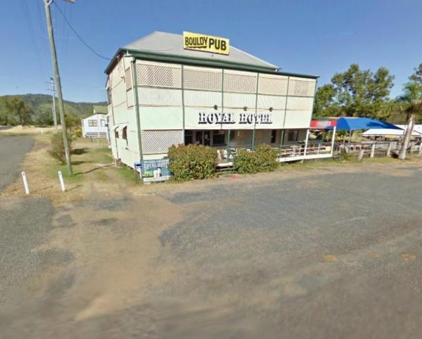
The Bouldercombe Park Rest Area is located on the Corner or Burnett Highway and Mount Usher Road. There is a public toilet, picnic tables and a BBQ, you can also pop over to the Pub which is directly opposite the park and grab a meal or cold drink. Entra ...
Boundary Bend East Park Rest Area
Boundary Bend East Park Rest Area has a toilet and is on the banks of the Murray River. Along with picnic tables and BBQ's it's not a bad spot to pull over and take a break from driving. Entrance to the Boundary Bend East Park Rest Area Boundary Bend ...

Bourkes Bend State Forest Camping Area
Bramston Beach Campground
The Bramston Beach Campground Entrance to the Bramston Beach Campground Bramston Beach Campground location map
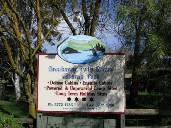
The Breakaway Twin Rivers Caravan Park facilities are getting a bit old, but very clean nonetheless and is a beautiful place to relax on the Goulburn river for all you fishing enthusiasts. Breakaway Twin Rivers Caravan Park location map
Brewarrina Rest Area
Entrance to the Brewarrina Rest Area Brewarrina Rest Area location map
Brickmakers Beach Rest Area
The Brickmakers Beach Rest Area is set back from the Bass Highway with a public toilet, some picnic tables and wood fired BBQ's. There is plenty of room to park, and access to the beach is very easy. Entrance to the Brickmakers Beach Rest Area Brickma ...
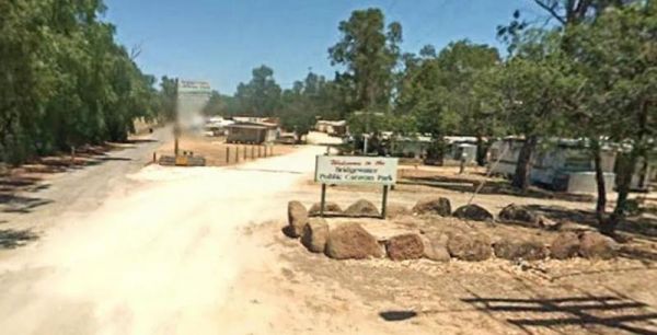
Bridgewater on Loddon Tourist Park
The Bridgewater on Loddon Tourist Park has only 6 female toilets & 4 showers for the whole park, so peak season it might get a bit stretched. However its short walk to good pub and the location is really nice, appart from the Hundred of screeching Cor ...
The Bright Accommodation Park has free wifi, and a swimming pool, but is fairly close to the Great Alpine Road, so a bit of tyre noise might be heard if your tent camping. Entrance to the Bright Accommodation Park Bright Accommodation Park location ma ...
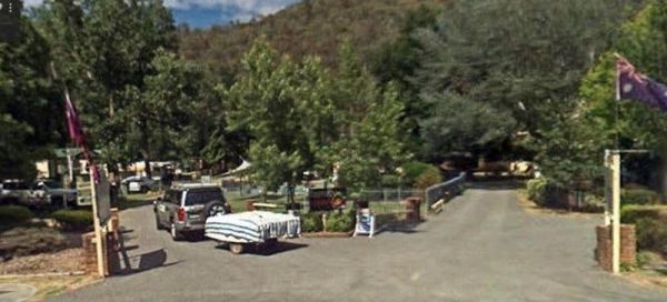
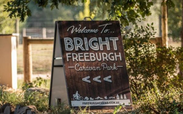
Entrance to the Bright Freeburgh Caravan Park Bright Freeburgh Caravan Park location map
The Bright Pine Valley Tourist Park has a swimming pool slide and toddler area. Lots of big trees which provide plenty of shade. This caravan park is just a short walk from town. Entrance to the Bright Pine Valley Tourist Park Bright Pine Valley Touri ...
Brooms Head Caravan Park
Entrance to the Brooms Head Caravan Park Brooms Head Caravan Park location map
Site is seasonal due to weather conditions, open till end of May. Must book in advance before arriving. Entrance to Bunyip Recreation Reserve
Bunyip River Rest Area
The Bunyip River Rest Area Set back a short distance from the Princes Freeway, There is a BBQ and a few picnic tables you can also let the kids and dog run without fear of them getting run over. You can also go for a walk in the Bunyip G13 Streamside Rese ...
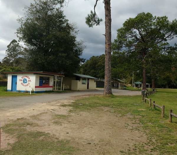
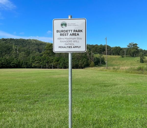
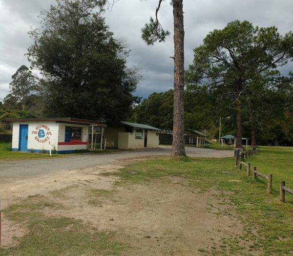
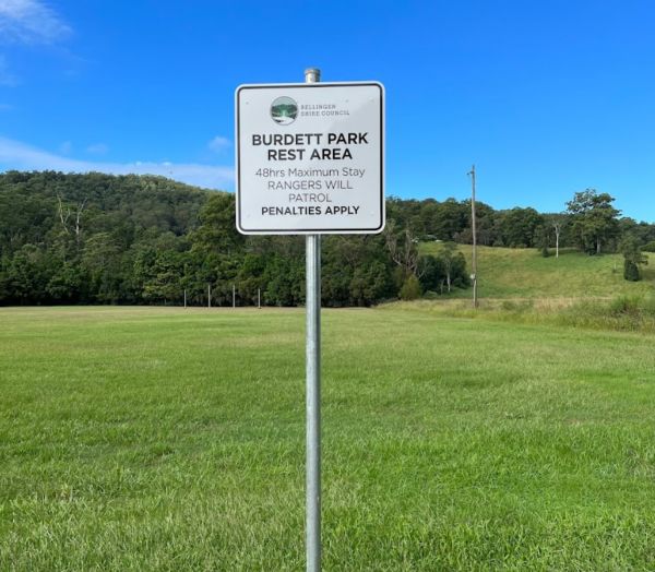
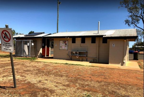
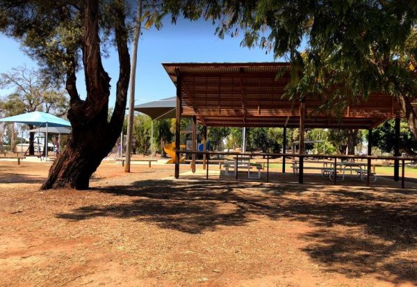
Burdett Park is situated alongside the main road, which means you may experience some road noise. However, the on-site public toilets are typically well-maintained and equipped with running water and a spacious sink. Adjacent to the toilets, there's a cov ...
Burdett Park is situated alongside the main road, which means you may experience some road noise. However, the on-site public toilets are typically well-maintained and equipped with running water and a spacious sink. Adjacent to the toilets, there's a cov ...
The Burnt Bridge Camping Area can be reached with a conventional two wheel drive. car, and once there, you will have easy access to the river. These camping grounds only one drop toilet located in the centre of the site and best suited to vehicle based ca ...
Burracoppin Centenary Park
The Burracoppin Centenary Park is next to the Great Eastern Highway and White Street corner. There are public toilets, some shade and picnic tables, BBQ's, and just across from the Tavern where you can grab a cold drink to help wash away the dust. Entran ...
Burrill Lake Park Rest Area
Entrance to the Burrill Lake Park Rest Area Burrill Lake Park Rest Area location map
The Bushlands Holiday Village and Caravan Park, is an older style caravan park with large campsites that are very affordable, there is tank water available for drinking. Note: Pensioner concession available, but you must ask for it when booking your stay, ...
Bushy Parker Park Rest Area
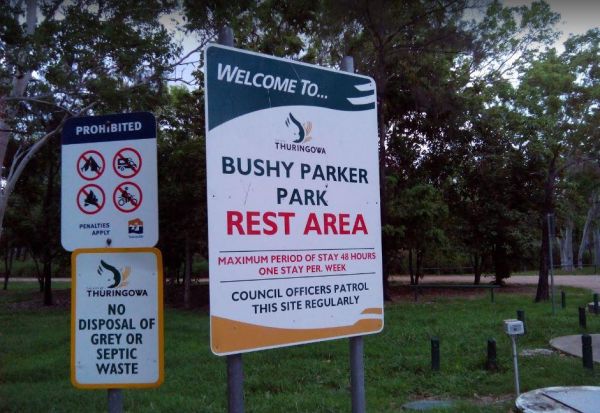
The Bushy Parker Park Rest Area Free Camping with a 48 hour limit for stopovers. There are flushing public toilets, a dump point, picnic tables, BBQ's, running town water, and a beautiful creek next to this rest area.The local store and police station are ...
The Calder Tourist Park is near the heart of Mildura, so it's a great caravan park to set up base to explore the Riverland district from. Entrance to the Calder Tourist Park Calder Tourist Park location map
Entrance to the Calypso Holiday Park Calypso Holiday Park location map
The Campaspe River Rest Area has a 20 Hour Limit for stopovers. There is a public toilet, undercover picnic tables, rubbish bins and bbq's. There is plenty of room to park your caravan under some shady trees, this is a popular overnight stop. The Campaspe ...
Entrance to the Canberra South Motor Park Canberra South Motor Park location map Local weather forecast for the Symonston area of ACT: https://www.willyweather.com.au/act/canberra/symonston.html
Cape Paterson Foreshore Caravan Park
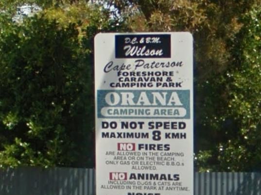
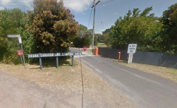
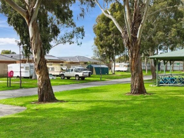
The Cape Paterson Foreshore Caravan Park has 100+ powered sites available in the Orana and Kywong camping areas. Entrance to the Cape Paterson Foreshore Caravan Park Cape Paterson Foreshore Caravan Park location map
Please specify a grassed site if you have a camper van that needs tent pegging Maximum Stay 28 Days Entrance to the Capital Country Holiday Park Capital Country Holiday Park Location Map
Carrum Downs Holiday Park
The Carrum Downs Holiday Park has Clean Amenities blocks and good kitchen. Some concrete slabs are tilted, so you will need to level your van. Local shops and Pub are approximately 3Km from campsite. Entrance to the Carrum Downs Holiday Park Carrum Do ...
The Casterton Visitor Information Centre the Racecourse Road turn off is not far from the Glenelg River. Once your here there are a few picnic tables and BBQ facilities at your disposal. Open Hours: 9.00am to 5.00pm everyday Entrance to the Casterton Vis ...
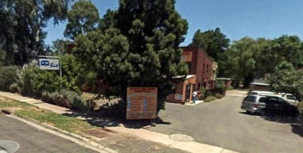
Castlemaine Central Cabin Van Park
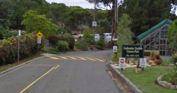
The Castlemaine Central Cabin Van Park is an older style park, but well maintained. You are also within easy walking distance to the town centre. Entrance to the Castlemaine Central Cabin Van Park Castlemaine Central Cabin Van Park location map
Castlemaine Gardens Caravan Park
The Castlemaine Gardens Caravan Park is next to Lake Johanna. Although there is no onsite swimming pool, the local swimming pool is right next door. For caravans wanting to pull out there awnings, the sites are a bit squeezy. But you can't fault the camps ...
The Casuarina Sands Reserve is located on the banks of the mighty Murrumbidgee River. Entrance to the Casuarina Sands Casuarina Sands location map
The Cavendish Recreation Reserve Camping is a very inexpensive camping spot. You have Hot showers, tennis court and a football oval There is an amenities block onsite and just a short walk to the Wannon River for fishing and camera enthusiasts. Contact 0 ...
The Chapman Valley Rest Area is on a large gravel surface set back from Chapman Valley Road, Undercover picnic tables and BBQ facilities, a public toilet block, rubbish bins and with plenty of space to choose from, to park your rig. Entrance to the Chapm ...
The Chiltern Park Rest Area has separate truck parking bays, so please respect them by not causing problems for the truckies who use this site. Entrance to the Chiltern - Ironbark Rest Area Chiltern - Ironbark Rest Area location
The Chinaman Creek Dam Recreation Park is a nice place to visit.There are public toilets. BBQ's, Some picnic tables and rubbish bins onsite.Note: No Overnight Camping Permitted.Freshwater crocodiles have been seen here, they generally are not a problem bu ...
Chinchilla Weir Camping Area
The Chinchilla Weir Free Camping Area has a 48 Hour Limit for overnight camping. There are public toilets free electric BBQ's, some picnic tables and rubbish bins.The dam is stocked with good size fish, and it's a good place to wet the bottom of your kaya ...
The Claude Wharton Weir Park has undercover picnic tables and BBQ's, plus some rubbish bins onsite. Its a nice place to take a few moments to relax and to drink some coffees and relax, or try to catch a fish or two before you head off to your overnight de ...
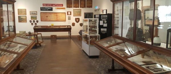
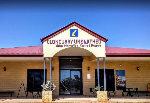
The Cloncurry Visitor Information Centre has plenty of local information on places to visit, and they also have a very good museum with lots of interesting relics and rocks. There are picnic facilities here also, so it's well worth your time to pop in. E ...
The Clunes Caravan Park is walking distance to a beautiful historic township of Clunes. The caravan park doesn't have access to the creek running along its rear border, but it's easy walking distance to the supermarket, pub and other shops. Entrance to t ...
The Coach Road Rest Area has separate parking bays for caravans and trucks, plus some undercover picnic tables & seating. This rest area is set back a short distance from the freeway. Entrance to the Coach Road Rest Area Coach Road Rest Area locat ...
The Coachman Tourist Park is an older style park and is pet friendly. The IGA Supermarket is around the 800 meter mark from this caravan park so it's a 1.6km for return walk or use your car. Entrance to the Coachman Tourist Park Coachman Tourist Park ...
The Coalfields Caravan Park is on the outskirts of Wonthaggi and has a lot of long term residents. There are spaces provided for caravans and campers alike, so you can camp and explore the surrounding area. Entrance to the Coalfields Caravan Park Coal ...
The Cobram East Caravan Park has plenty of grass camping sites. From here you can go fishing, or have a day touring the local wineries. Entrance the the Cobram East Caravan Park Cobram East Caravan Park location map
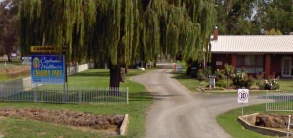
The Cobram Willows Caravan Park is close to the highway so there can be some noise from passing vehicles. Entrance to the Cobram Willows Caravan Park Cobram Willows Caravan Park location map
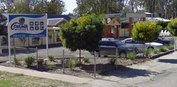
The Cohuna Waterfront Holiday Park is right on the bank of Gunbower Creek, here you can camp right next to the water. The park is also within walking distance to town center that has everything you need to make your campsite pleasant. Entrance to the Coh ...
Colac Colac Caravan Park
The Colac Colac Caravan Park a beautiful setting for camping with plenty of big shady trees with Corryong Creek running through it with safe waters for all ages to play in, there are also deeper holes for fishing plus good size camping sites. This is a ve ...
The Condamine Park has a playground for the kids, picnic tables, BBQ's, rubbish bins and a public toilet. From the park it's a short walk over to the Pub and grab a meal or cool drink. Entrance to the Condamine Park Condamine Park location map ...
Entrance to the Coo-Ee March Memorial Park Coo-Ee March Memorial Park location map
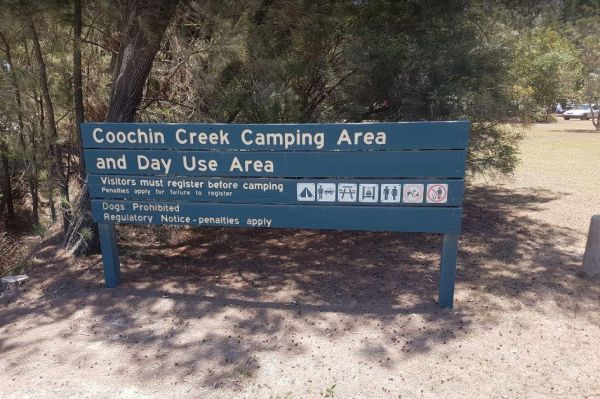
Coochin Creek Camping Area
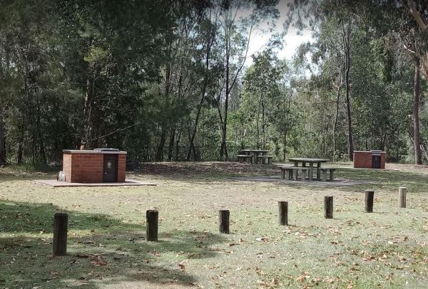
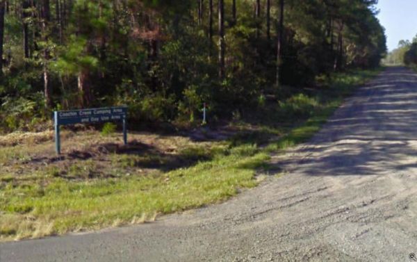
The Coochin Creek Camping Area has a mix of caravan and tent camping sites. There are flushing toilets, gas powered BBQ's, Fire Pits, and plenty of shady spots to choose from. Take your fishing rod, as you should be able to catch a fish or two, remember t ...
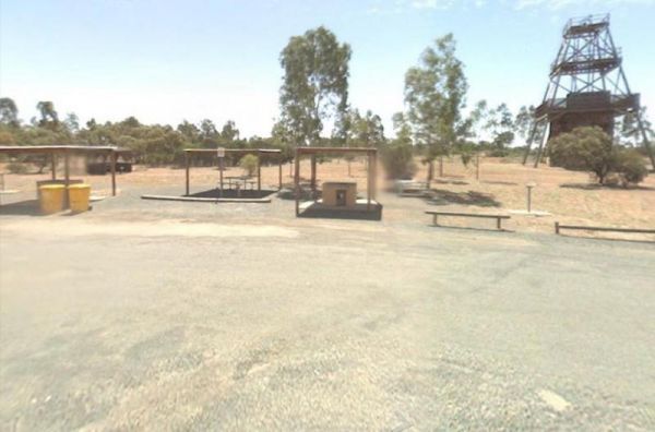
Entrance to the Cooinda Reserve Poppet Head Mine Rest Area Cooinda Reserve Poppet Head Mine Rest Area location map
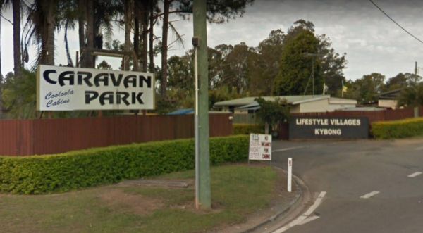
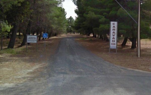
The Cooloola Caravan Park Entrance to the Cooloola Caravan Park Cooloola Caravan Park location map
Entrance to the Coonalpyn Soldiers Memorial Caravan Park Coonalpyn Soldiers Memorial Caravan Park location map
Coonawarra Bush Holiday Park
Entrance to the Coonawarra Bush Holiday Park Coonawarra Bush Holiday Park location map
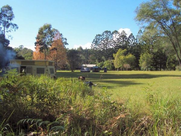
Coopernook Forest Park Camping Area
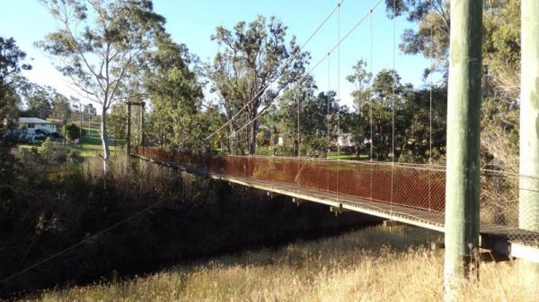
The Cooyar Swinging Bridge Park has a 48 Hour Limit for stopovers. there is an undercover picnic table with a BBQ and some rubbish bins. If you need power, walk over to the Pub and grab the key for a small fee. Entrance to the Cooyar Swinging Bridge Park ...
Coronation Beach Campground
The Coronation Beach Campground is one of the most attractive and popular beaches along the Mid West Coast with both locals and visitors alike. It is considered to be one of the finest windsurfing locations in the world, and outside the windsurfing season ...
The Cotter Campground is located on the banks of the Cotter River which drains into the Murrumbidgee River a few hundred metres from the campsite, so those who like fishing are well catered for. Campers need to book a site online, prior to turning up. (T ...
The Cotton Tree Creek Camping Area is a peaceful spot amongst tall trees for shade. Follow Webb Lane and turn onto Bridle Track, the campground is about 100 metres down the track. For those of you who enjoy short walks the Granya Falls (seasonal waterfall ...
The Cowell Park Rest Area Entrance to the Cowell Park Rest Area Cowell Park Rest Area location map
The Cowes Caravan Park backs onto Western Port Bay and pets are allowed (camping sites only) during non holiday and off peak seasons only. So it pays to check first, before going there with your pet and missing out. Entrance to the Cowes Caravan Park ...
Crayfish Creek Van and Cabin Park
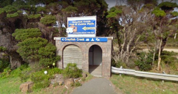
The Crayfish Creek Van and Cabin Park Entrance to the Crayfish Creek Van and Cabin Park Crayfish Creek Van and Cabin Park location map
CRB Camping Area
The CRB Camping Area is a large free camping ground next to the Cobungra River is on your doorstep, so have a go at fishing or swimming, and for the more adventurous grab your kayak and navigate upstream for a bit. CRB Camping Area location map
The Crestview Tourist Park is not a bad place to set as a base camp to explore Canberra and its surrounding area. Entrance to the Crestview Tourist Park Crestview Tourist Park Location Map
The Creswick Calembeen Lake Caravan Park is a very well-shaded sites and Creswick itself is a leisurely stroll with lovely old buildings and a good market on the weekend. Entrance to the Creswick Calembeen Lake Caravan Park Creswick Calembeen Lake Car ...
Crooked Creek Rest Area
Entrance to the Crooked Creek Rest Area Crooked Creek Rest Area location map
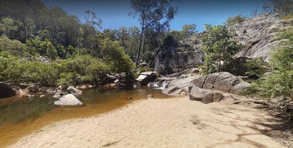
Crows Nest National Park Camping Ground
The Crows Nest National Park Camping Ground has undercover picnic tables, a public toilet, fire pits and BBQ's, and showers. Entrance to the Crows Nest National Park Camping Ground Crows Nest National Park Camping Ground location map
Crystal Brook Holiday Centre
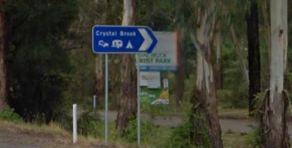
If you stay at Crystal Brook Holiday Centre you should be able to see kangaroos, emus and an occasional deer. The caravan sites are a bit on the small side and not all clearly marked. This park can get very busy during public holidays. Entrance to the Cr ...
The Culgoa South Rest Area is just off the Calder Highway, with BBQs and picnic tables, and some shade to make your break from driving a bit more bearable. There are also some rubbish bins onsite. Entrance to the Culgoa South Rest Area Culgoa South Re ...
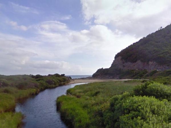
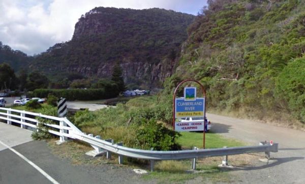
The Cumberland River Holiday Park has a freshwater stream, a beach (unpatroled), and great bush walks. But Hot showers cost extra, and campsites can get a bit windy, so make sure you have the tent pegs well secured. Note This caravan park doesn't have any ...
Entrance to the Currarong Beachside Holiday Park Currarong Beachside Holiday Park location map
Dandenong Tourist Park Big4
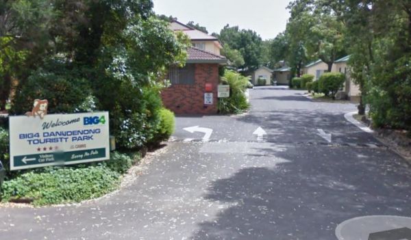
The Dandenong Tourist Park Big4 some of the caravan sites are a bit tight to back into. This caravan park is a smaller park, but its clean and tidy, and surprisingly quite. Entrance to the Dandenong Tourist Park Big4 Dandenong Tourist Park Big4 locat ...
Entrance to the Dangar Falls Picnic Area Dangar Falls Picnic Area location map
Entrance to the Discovery Parks - Darwin Map Location to the Discovery Parks - Darwin
Entrance to the Darwin Freespirit Resort Darwin Freespirit Resort location map
The David Hall Rest Area is a popular truck stop. this rest area is slightly elevated from the Barkly Highway, there are no trees for shade, but there is an undercover picnic table, and plenty of room to park your caravan. Take a break, and have a picnic ...
Davons Flat Camping Area
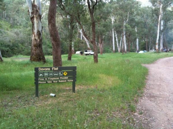
The Davons Flat Camping Area on the banks of the Howqua River and has large open area with lots of shade to camp for a day or two. This area was used for gold mining, so if you're lucky you might come across some of the Old Timers diggings. Davons Flat C ...
Daylesford Victoria Caravan Park
The Daylesford Victoria Caravan Park is an older style park and relatively close to Daylesford town center. This caravan park has plenty of established trees, and the amenities blocks are nice and clean. Entrance to the Daylesford Victoria Caravan Park ...
Deep Lake Recreation Reserve
The Delegate River Camping Area is as the name suggests, is next to the Delegate River, so don't forget your fishing gear and camera when camping here. Delegate River Camping Area location map
Depot Beach Campground
Entrance to the Depot Beach Campground Depot Beach Campground location map
The Derby Park is a nice free camp with public toilets and paid showers (You will need coins for them). There are a few picnic tables and good bike tracks. Entrance to the Derby Park Derby Park location map
Derrick VC Rest Area
Entrance to the Derrick VC Rest Area Derrick VC Rest Area location map
Des Streckfuss Rest Area
The Des Streckfuss Rest Area has a 24 stop over Hour Limit. The rest area is set well back from the Marble Bar Road, with public toilets and BBQ facilities. You can walk to the Gorge Creek, but the water levels will vary with the season, so it may or may ...
Entrance to the Diamond Head Campground Diamond Head Campground location map
Entrance to the Dimboola Riverside Caravan Park Dimboola Riverside Caravan Park location map
The Ditchfield Camping Area is spread over a decent area, so plenty of tent sites available, and there is a hut onsite with a fireplace with a long table and seating. Ditchfield Camping Area location map
The Dogwood Creek Rest Area is nicely set up with trucks one side and RV'S and utes the other. There is a public toilet, picnic tables, rubbish bins and lots of parking space under shady trees. The Dogwood Creek runs next to this rest area, and there is a ...
The Domblegabby Rest Area Entrance to the Domblegabby Rest Area Domblegabby Rest Area location map
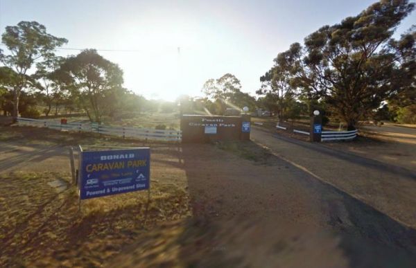
The Donald Lakeside Caravan Park is a beautiful lakeside area with large sites and very clean amenities. There is an honesty box, and the caretaker drops in daily to collect for powered sites. Entrance to the Donald Lakeside Caravan Park Donald Lakesi ...
The Dongara East Rest Area Entrance to the Dongara East Rest Area Dongara East Rest Area location map
Doon Reserve Caravan Park
The Doon Reserve Caravan Park is an Older style caravan park and has a nice playground for the kids, clean amenities and is on the banks of the Yarra River. So remember to take something to float down the river on an inflatable craft. Entrance to the Don ...
Entrance to the Dromana Holiday & Lifestyle Village Dromana Holiday & Lifestyle Village location map
The Duaringa Campgrounds has a maximum stay of 48 Hours, and is located a fair distance from the Capricorn Highway, so noise will be minimal. This location has hot showers, electric BBQs undercover picnic tables, rubbish bins, some power points, and a chi ...
The Dublin Lions Park Rest Area Entrance to the Dublin Lions Park Rest Area Dublin Lions Park Rest Area location map
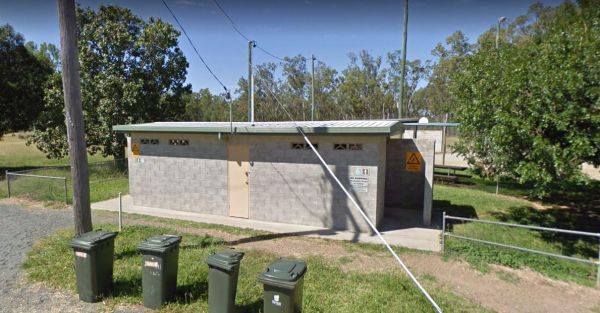
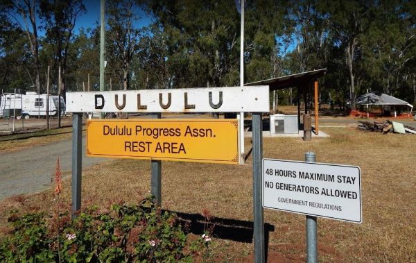
The Dululu Rest Area has a 48 Hour Limit for this rest spot. There is a public toilet, undercover picnic tables, rubbish bins and reasonably level ground to park your caravan on. Entrance to the Dululu Rest Area Dululu Rest Area location map
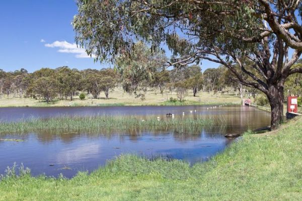
Dumaresq Dam Recreation Area
The Dundas Rocks Camping Area Entrance to the Dundas Rocks Camping Area Dundas Rocks Camping Area location map
The Dunham River Rest Area has a 24 Hour Limit. There are public toilets, a RV Dump Point, undercover picnic tables and wood fired BBQ's. (Bring your own wood). Water levels in the river are seasonal, so it can range from almost dry to full flowing. Entr ...
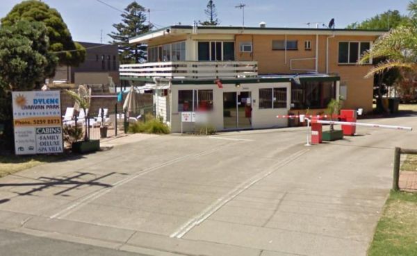
Dylene Caravan Park
Entrance to the Dylene Caravan Park Dylene Caravan Park location map
The Eadine Springs Rest Area turnoff is easy to miss, but once your here there is shade, BBQ's and some undercover picnic tables and rubbish bins. Entrance to the Eadine Springs Rest Area Eadine Springs Rest Area location map
Eagle Point Caravan Park
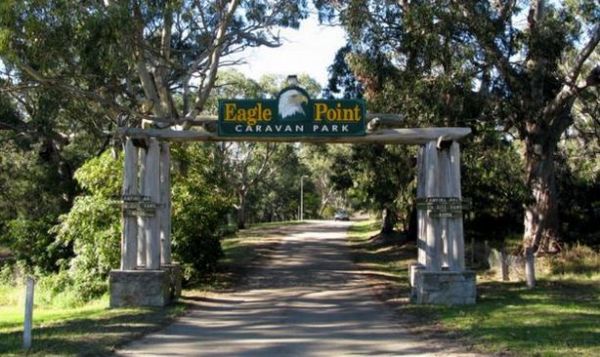
Entrance to the Eagle Point Caravan Park Eagle Point Caravan Park location map
This is an older style caravan park, it has a few facilities and a tennis court, plus a couple of drive through ensuite sites, with a pub and petrol station next door. Entrance To The Eaglehawk Holiday Park Eaglehawk Holiday Park Location Map
Echo Beach Tourist Park
Entrance to the Echo Beach Tourist Park Echo Beach Tourist Park location map
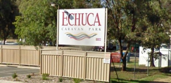
Entrance to the Echuca Discovery Parks Echuca Discovery Parks location map
Entrance to the NRMA Echuca Holiday Park NRMA Echuca Holiday Park location map
Entrance to the Edenhope Lakeside Tourist Park Edenhope Lakeside Tourist Park location map
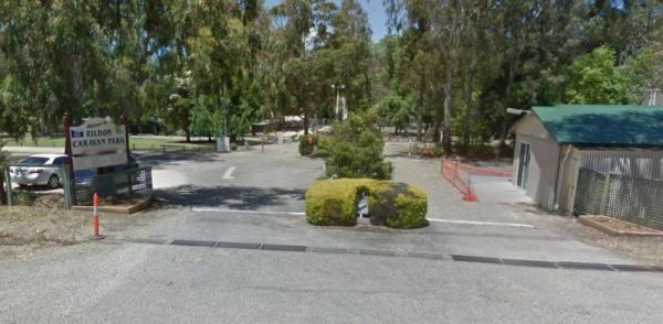
Entrance to the Eildon Pondage Holiday Park Eildon Pondage Holiday Park location map
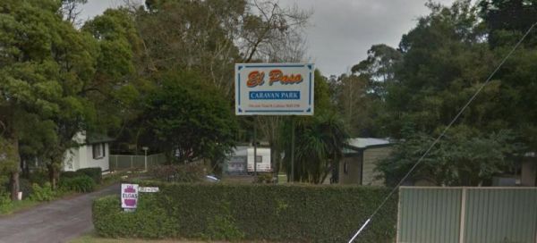
Entrnce to the El-Paso Caravan Park El-Paso Caravan Park location map
Ellenborough Reserve Camping Area 14 Day Limit
Entrance to the Ellenborough Reserve Camping Area 14 Day Limit Ellenborough Reserve Camping Area 14 Day Limit location map
The Ellendale Pool Camping Area has flushing toilets a Gas BBQ, Rubbish Bins a shaded seating area. Swimming is not advised as the lack of flowing water can make the pool stagnant. There is a small camping fee to camp here, and a maximum 7 Day Limit Entr ...
Ellendale Rest Area
The Ellendale Rest Area has public toilets, a Dump Point, undercover picnic tables there is a 24 Hour Limit here. The rest area is approx 300 metres from the main road, with lots of room for caravans and motorhomes Entrance to the Ellendale Rest Area ...
Entrance to the Emmdale Roadhouse Camping Area Emmdale Roadhouse Camping Area location map
Entrance to the Escort Rock Rest Area Escort Rock Rest Area location map
FigTree Holiday Village
Entrance to the FigTree Holiday Village FigTree Holiday Village location map
The Fishbone Flat Camping Area is next to the Arnold Creek and you can bring your dog with you. You will also need to bring everything with you, and take your rubbish with you when you leave, as this is a basic bush camp. Fishbone Flat Camping Area locat ...
Foster North Scenic Lookout
The Foster North Scenic Lookout is a clean quiet little picnic spot, with good views on a clear day, of the promontory. There are undercover picnic tables and a few rubbish bins to make your break from driving rather pleasant. Entrance to the Foster Nort ...
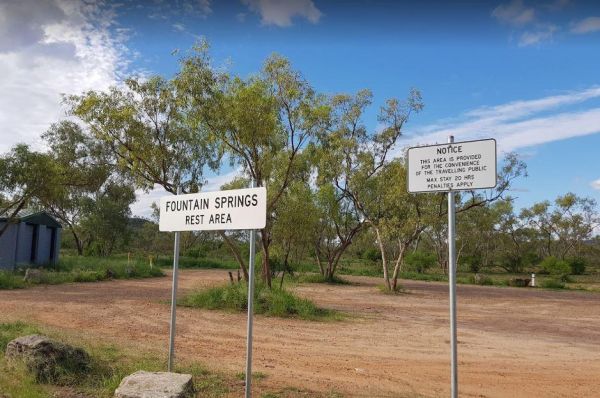
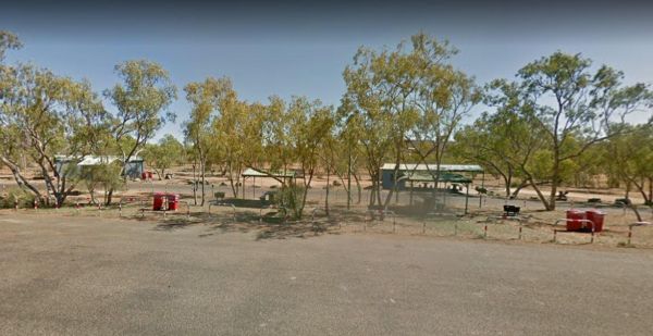
The Fountain Springs Rest Area has a 20 Hour Limit for stopovers. There are flushing public toilets, and a water tap (The water is not suitable for drinking). You will find this is a popular spot so if you get there late, you might have a problem finding ...
Four Mile Reserve Camping Area
Frances Creek Rest Area
The Frances Creek Rest Area Entrance to the Frances Creek Rest Area Frances Creek Rest Area location map
Frank Lupino Memorial Park has electric BBQ's, and plenty of shade. Entrance to the Frank Lupino Memorial Park Frank Lupino Memorial Park location Map
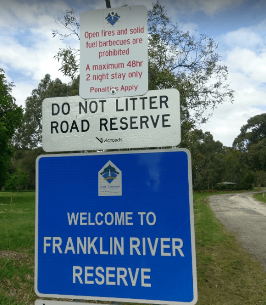
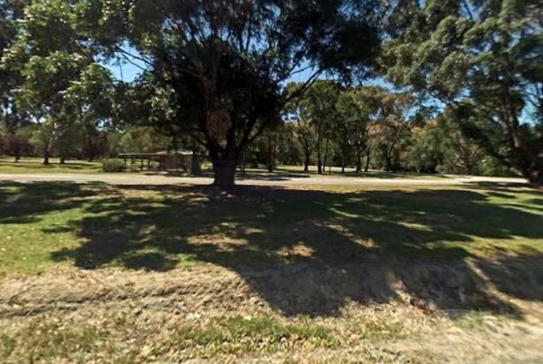
The Franklin River Reserve has good clean toilets and located next to the Franklin River. There is an information pavillion onsite also. This site can be closed in wet weather, due to vehicles getting bogged. Entrance to the Franklin River Reserve Campgr ...
The Frankston Visitor Centre has quite a few brochures available for Frankston, the Peninsula, and other regions of Victoria. It's worth a stop to check out what to see while in the area.NOTE: Parking is not free. Entrance to the Frankston Visitor Inform ...
The Fraser Range Rest Area is a large flat area with toilets, picnic tables and shelter, set amongst a few tall trees for shelter. Entrance to the Fraser Range Rest Area Fraser Range Rest Area location map
The Frenchmans Creek Camping Area is next to the Big River, and the campsites are better suited to vehicle based camping rather than caravans. I'd recommend a 4x4 incase it rains. Frenchmans Creek Camping Area location map
Entrance to the Fullers Lane Rest Area Fullers Lane Rest Area location map
Entrance to the Geelong Discovery Park Geelong Discovery Park location map
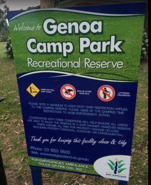
The Genoa Rest Area is a nice peaceful spot to stop for a few days, there is a maximum of 72 Hours stopover. This campsite has toilets and cold showers, and is located next to the Genoa River. Please consider leaving a donation onsite to help maintain thi ...
The Geo Spencer Memorial Rest Area has a 48 Hour Limit for stopovers. There are a few level places to park your caravan under shady trees. Here you will find flushing toilets, an undercover BBQ and some picnic tables and rubbish bins Entrance to the Geo ...
Entrance to the Gilgandra Visitor Information Centre Gilgandra Visitor Information Centre location map
A donation box located in showers/toilets block. Note: Grounds are NOT available on the full weekend of the 2nd Sunday of every month due to large onsite markets. Entrance to Girgarre Public Park
Glebe Weir
The Glebe Weir has public toilets, bbq's a boat ramp, and some shady spots to park your caravan. You will need very long power leads if you intend to use onsite power here. A fishing competition is held each June on the long weekend. Glebe Weir location ...
Glen Davis Camping Area
Entrance to the Glen Riddle Recreation Reserve Glen Riddle Recreation Reserve location map
The tap water source is a mineral spring, so using a water filter improves the taste.
Glenpatrick Recreation Reserve
The Glenpatrick Recreation Reserve will be closed until further notice to allow for restoration of buildings and the removal of 3 trees and pruning of the remaining 100 year old commemorative pine trees. Entrance to the Glenpatrick Recreation Reserve ...
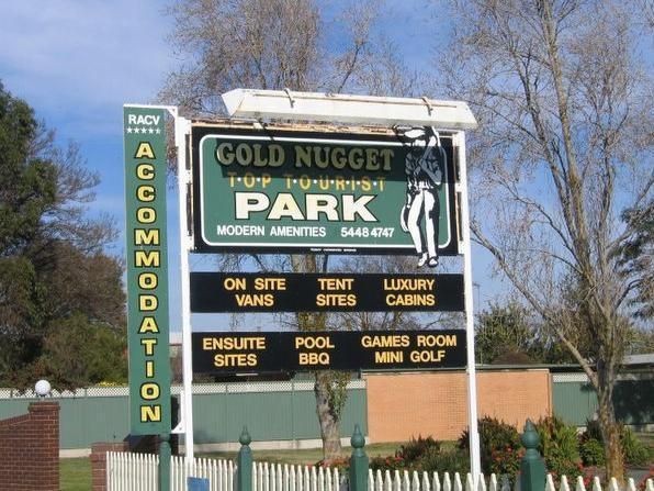
Entrance to the Gold Nugget Tourist Park Gold Nugget Tourist Park location map
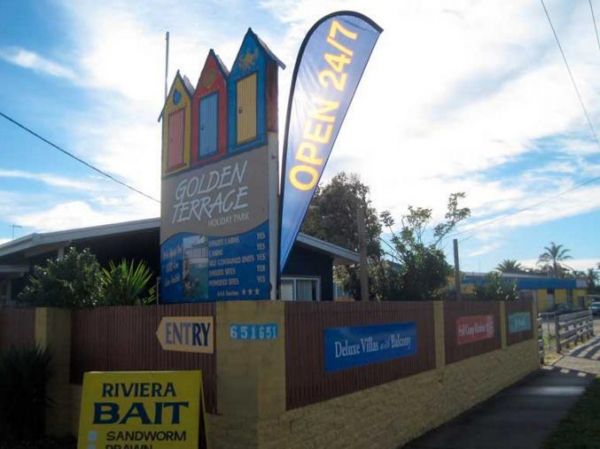
Golden Terrace Caravan Park
Entrance to the Golden Terrace Caravan Park Golden Terrace Caravan Park location map
The Goldwire Rest Area is set well back from the Great Northern Highway. Here there are public toilets, a dump point, some picnic tables and plenty of level ground to park your caravan. Entrance to the Goldwire Rest Area Goldwire Rest Area location ma ...
The Gordon Foreshore Reserve Camping Area has a maximum of 96 Hours to camp here. The views are nice and there is plenty of level ground to park your caravan, or pitch a tent under the foreshore trees. BBQ's rubbish bins and dog friendly, it's a good plac ...
Gorge Rock Pool Picnic Area
The Gorge Rock Pool Picnic Area has a natural rock pool, and is a nice place to take a pause from driving and have a bite to eat on the provided picnic tables. Be sure to take your camera with you, especially in springtime. Entrance to the Gorge Rock Po ...
Goughs Bay Caravan Park
Grantville - Picnic BBQ Area
The Grantville - Picnic BBQ Area has a large area next to the jetty for parking any sized caravan. Flushing toilets are located here as well. If you want to fish at low tide from the jetty, you will need to rethink this, as low tide will reveal extensive ...
Entrance to the Great Aussie Holiday Park Great Aussie Holiday Park location map
Great Western Racing & Recreation Reserve
There are two main areas to camp a night or two. Showers are coin operated. Entrance to Great Western Racing & Recreation Reserve
The Green Hill Lake Camping Area is a delightful setting, with plenty of shade, and lots of unmarked camping spots. There is a dump point near the entrance to the camping grounds, public toilets, hot showers, undercover playground for the children plus an ...
The Green Lake Regional Park Camping Area The main turn for this campsite is easy to miss, use the GPS cordance. Its located 10km from Sea Lake along the road to Birchip Entrance to the Green Lake Regional Park Camping Area Green Lake Regional Park C ...
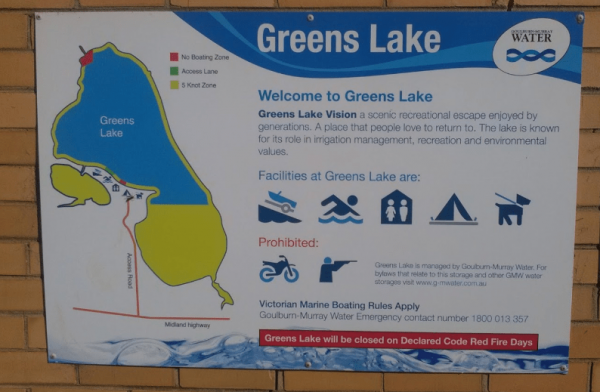
The Greens Lake Recreation Area has a Boat Launching Ramp BUT that means very little if there is a drought, as the lake is very shallow and dries up, Greens Lake Recreation Area location map
Entrance to the Grenfell West Rest Area Grenfell West Rest Area location map
Grong Grong Park Rest Area
Entrance to the Grong Grong Park Rest Area 24 Hour Limit Grong Grong Park Rest Area 24 Hour Limit location map
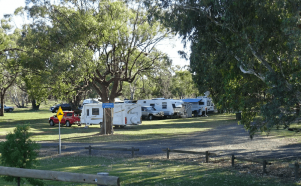
Gum Bend Lake Camping Area
Entrance to the Gum Bend Lake Camping Area Gum Bend Lake Camping Area location map
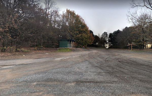
Gurney VC Rest Area
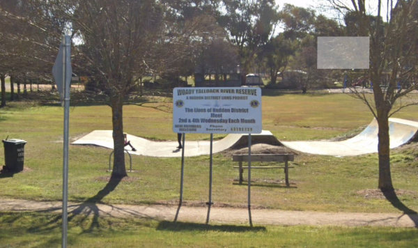
Your campsite donation can be paid at the local store using the envelopes provided. There are low cost coin showers available. Entrance to Haddon Lions Park
The Hadspen Lions Park Reserve Area is a lovely spot for a BBQ and picnic, its on the banks of the South Esk River. Its a nice place to drop your boat or kayak into the water, or try catching dinner from the banks. Entrance to the Hadspen Lions Park Rese ...
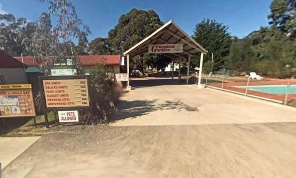
Entrance to the Halls Gap Gardens Caravan Park Halls Gap Gardens Caravan Park location map
The Hamilton Rest Area is opposite the Bicentennial Park. There is a public toilet, undercover picnic tables and rubbish bins. Just a short walk and your at the children's playground, or try your luck in the River Clyde. Entrance to the Hamilton Rest Are ...
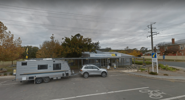
Entrance to the Heathcote Visitor Information Centre Heathcote Visitor Information Centre location map
Entrance to the Henry Angel Flat Camping Area Henry Angel Flat Camping Area location map
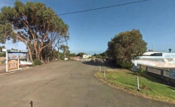
Entrance to the Henty Bay Beach Front Van & Cabin Park Henty Bay Beach Front Van & Cabin Park location map
Entrance to the Hidden Valley Holiday Park Hidden Valley Holiday Park location map
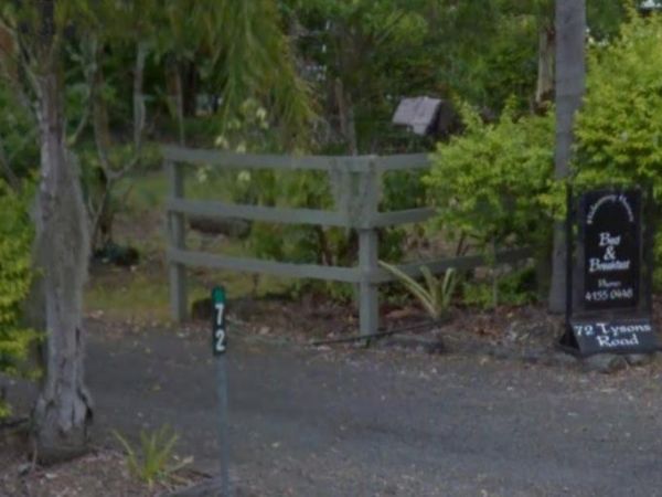
Hideaway Haven B&B
The Hideaway Haven B&B is mainly for a Bed and Breakfast, but there is room to park a few self contained rigs. You MUST contact the owners of the site first, to see if there is room for you to park your van. Entrance to the Hideaway Haven B&B ...
The Hobart Beach campground has a laundry public toilets and hot showers (the showers are on a timer), you'll find fire pits with a swing bbq plate, and an onsite laundry. There are plenty of tables and bench seats and all the campsites are numbered. Ther ...
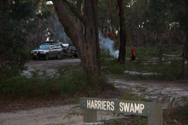
The Holey Plains State Park - Harriers Swamp Campground is 10kms south east of Rosedale.The park is situated south of the Princes Highway between Rosedale and Sale. The main access is from Rosedale, via the Rosedale Willung Road and Recreation Racecourse ...
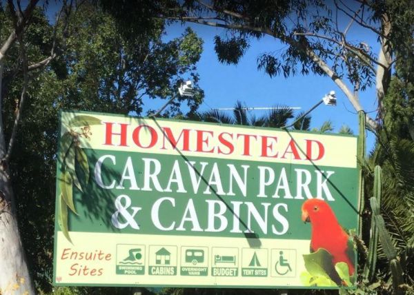
The Homestead Caravan Park and Cabins is an older style caravan park. They have added a new salt water swimming pool and games area, there are also Powered Ensuite Sites available. Entrance to the Homestead Caravan Park and Cabins Homestead Caravan Pa ...
The Honeysuckle Campground has an undercover picnic table, fireplace and two gas barbeques. There is also a walking track to the historic Honeysuckle Tracking Station. If you intend to have a campfire, make sure you bring your own wood or the Rangers will ...
Entrance to the Horsham Riverside Caravan Park Horsham Riverside Caravan Park location map
The Hospital Creek Rest Area is next to the Hospital Creek and just off the Princes Highway, It's a nice spot to take a break from driving and have a BBQ. Entrance to the Hospital Creek Rest Area Hospital Creek Rest Area location map
The House Creek Bridge Rest Area has a 24 Hour Limit to allow overnight stops. There are toilets, picnic tables, rubbish bins and some shade available, and plenty of level ground to choose from. Entrance to the House Creek Bridge Rest Area House Creek ...
Howard Springs Holiday Park Big4
There is also a Squash Court onsite. Entrance to the BIG4 Howard Springs Holiday Park BIG4 Howard Springs Holiday Park location map
Howitt Park
The Howitt Park is a great place to pull over, it has plenty of room for big vans etc clean toilets, fishing is good there is a boat ramp, also a large slippery yellow slide for the kids, a flying fox and a normal playground. Entrance to the Howitt Park ...
Entrance to the Howlong Lions Park Rest Area Howlong Lions Park Rest Area location map
Entrance to the Howqua Valley Resort Howqua Valley Resort location map
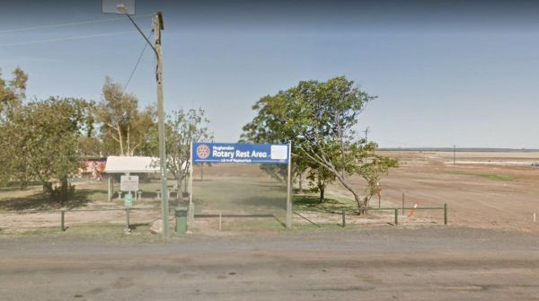
The Hughenden Rotary Rest Area has a public toilet, rubbish bins, a BBQ and an undercover picnic table. Its located on the edge of the Flinders Highway with no shade available for the tow vehicle. Entrance to the Hughenden Rotary Rest Area Hughenden R ...
Entrance to the Humes Crossing Camping Area Humes Crossing Camping Area location map
Entrance to the Huskisson White Sands Holiday Park Huskisson White Sands Holiday Park location map
Entrance to the Hynes Reserve - Water Reserve Camping Area Hynes Reserve - Water Reserve Camping Area location map
The Iluka on Freycinet Holiday Park Big4 Entrance to the Iluka on Freycinet Holiday Park Big4 Iluka on Freycinet Holiday Park Big4 location map
The Inca Creek Rest Area has a few picnic tables and bbq's. There is very little shade offered here, but there is plenty of room to park on. Entrance to the Inca Creek Rest Area Inca Creek Rest Area location map
Indented Head Bellarine Bayside Holiday Parks
Entrance to the Indented Head Bellarine Bayside Holiday Parks Indented Head Bellarine Bayside Holiday Parks location map
Entrance to the Inverloch Foreshore Camping Inverloch Foreshore Camping location map
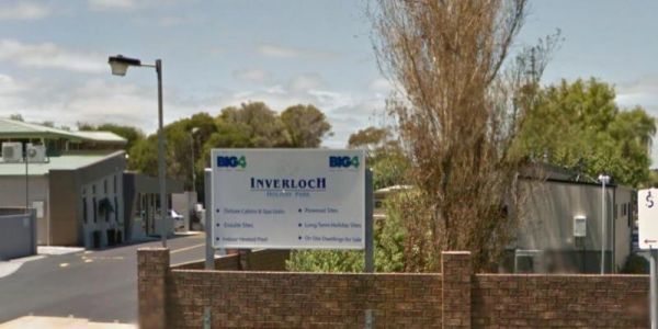
Entrance to the Inverloch Holiday Park BIG4 Inverloch Holiday Park BIG4 location map
Italian Flat is a nice campsite located on the banks of the Upper Dargo River. You will find a couple of small shallow swimming holes on the river. There is a long drop toilet.onsite and this camp is only 10 min from Dargo. Italian Flat Campground locati ...
James Norman Hedges Park Rest Area
The James Norman Hedges Park Rest Area Area backs onto the Lockyer Creek, so there is a chance of catching something for the fishermen amongst you. The public toilet block is quite new, and there is an outside water basin, rubbish bins, undercover picnic ...
The Jane Duff Highway Park Rest Area, off road camping is available near the billabong, or further back in scrub, with BBQs, Picnic tables, and a drop dunny onsite. There is an historical marker to Jane Duff, one of three Duff children who in 1864, was fo ...
The JC Stretch Memorial Park Rest Area is located next the Woady Yaloak River and Overnight stays are permitted here. Entrance to the JC Stretch Memorial Park Rest Area JC Stretch Memorial Park Rest Area location map
Entrance to the Joyce Pearce Memorial Park Joyce Pearce Memorial Park location map
Jubilee Lake Caravan Park
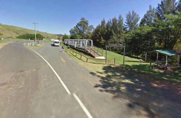
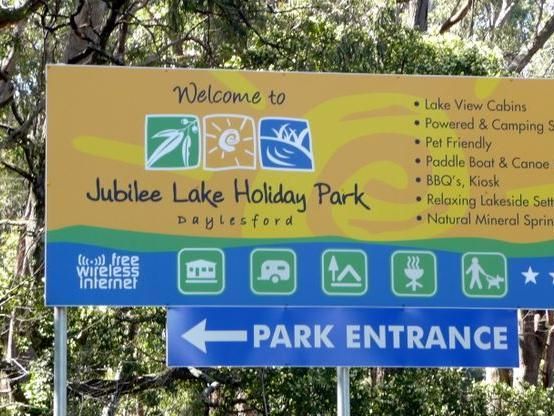
Entrance to the Jubilee Lake Caravan Park Jubilee Lake Caravan Park location map
Kangaroo Flat Park Area
Entrance to the Kangaroo Flat Park Area Kangaroo Flat Park Area location map
Kangaroo Valley Tourist Park
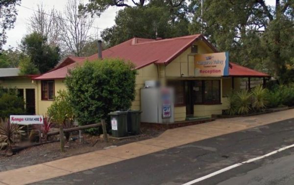
Entrance to the Kangaroo Valley Tourist Park Kangaroo Valley Tourist Park location map
Entrance to the Kangerong Holiday Park Kangerong Holiday Park location map
Entrance to the Kaniva Poolside Caravan Park Kaniva Poolside Caravan Park location map
Karalee Rocks Camping Area
The Karalee Rocks Camping Area has a 72 Hour Limit to stop here. This site has flushing toilets. Lots of shaded areas. Great swimming in the dam and you can catch yabbies in there for dinner if you like. Entrance to the Karalee Rocks Camping Area Kara ...
Katamatite Lions Memorial Park Rest Area
The Katamatite Lions Memorial Park Rest Area is a nice spot to pull over and have a BBQ spot, and its next to the Boosey Creek, its not a bad spot to take a break from driving. Entrance to the Katamatite Lions Memorial Park Rest Area Katamatite Lions ...
Entrance to the Katherine Holiday Park Katherine Holiday Park location map
The Keith Park Rest Area has dedicated parking for caravans in Heritage Street. There is a children's playground, a BBQ, plenty of picnic tables and a few rubbish bins, plus a public toilet. Entrance to the Keith Park Rest Area Keith Park Rest Area lo ...
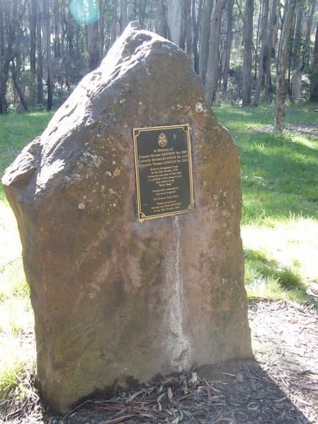
The Kelly Tree Stringybark Creek Camping Area is where Ned Kelly's gang murdered 3 Police officers. This camping area has been revamped in 2018 and there is historical information about the Kelly Gang. The names of the fallen officers is listed below. 1. ...
The Kempton Rest Area is a nice reasonably level camping area. The public toilets are a short walk behind the Town Hall. There are also Paid Showers and a Private toilet block onsite, but you will need to leave a deposit for the key from the Post Office, ...
Kentish Park Camping Area - Permanently Closed
NOTE: Kentish Campground has Permanently closed, there are no longer toilet facilities at this site. Parks & Wildlife Tasmania have taken over. The Kentish Park Camping Area overlooks Lake Barrington and has a public toilet and BBQ facilities plus so ...
Entrance to the Kilmore Caravan Park Kilmore Caravan Park location map
The Kimba Rest Area has a carpark off the Cowell-Kimba Road. A public toilet and a few picnic tables, some shade, and an IGA supermarket across the road, so its a good spot to take a break from driving, and stock up on some supplies for your larder and fr ...
Entrance to the Koondrook Caravan Park Koondrook Caravan Park location map
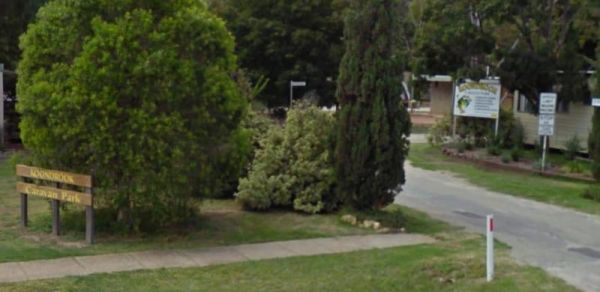
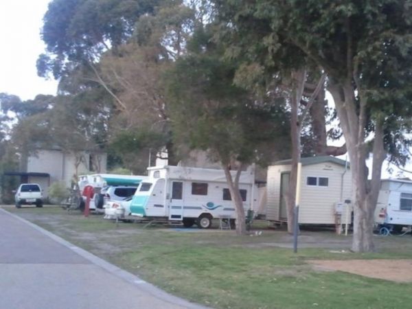
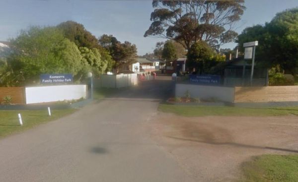
Koonwarra Family Holiday Park
Entrance to the Koonwarra Family Holiday Park Koonwarra Family Holiday Park location map
The Koorarawalyee Rest Area has a 24 hour stopover limit. This Rest Area is set back from the Great Eastern Highway, with plenty of shade, public toilets and fireplaces. Entrance to the Koorarawalyee Rest Area Koorarawalyee Rest Area location map
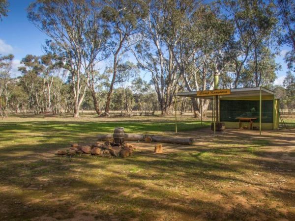
Kooyoora Park Retreat is a Pet friendly camping 15 minutes from Melville Caves with magnificent views of Mt Kooyoora. Camping with all the features of an outdoor kitchen, large fire pit, 80 acres of beautiful private bushland plus thousands of acres of Ko ...
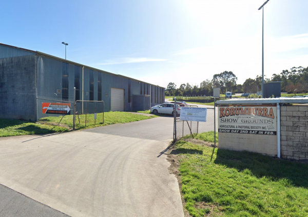
Korumburra Showgrounds
Korumburra Tourist Park
Entrance to the Korumburra Tourist Park Korumburra Tourist Park location map
Kumarl Siding Rest Area
The Kumarl Siding Rest Area has a 24 Hour Maximum Limit for stopovers. There are plenty of shady places to park your caravan or motorhome. Picnic tables and a few rubbish bins are also provided to make resting here more pleasant. Entrance to the Kumarl S ...
The Kurth Kiln Picnic and Camping Ground has plenty of good flat spots to pitch tents. Unfortunately there is often a lot of rubbish left behind by morons who don't care about the next person camping here. On the plus side there are a few easy and enjoyab ...
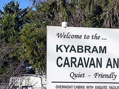
Entrance to the Kyabram Caravan & Tourist Park Kyabram Caravan & Tourist Park location map
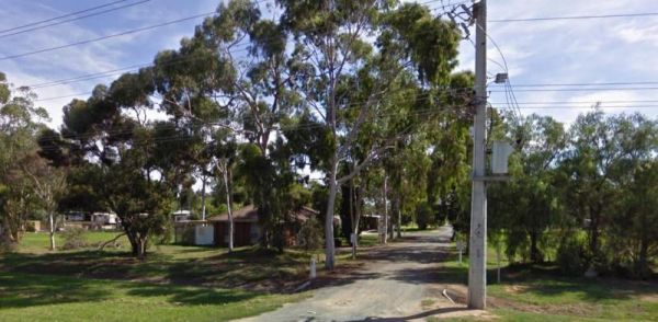
Entrance to the Kyabram Western Gums Tourist Park Kyabram Western Gums Tourist Park location map
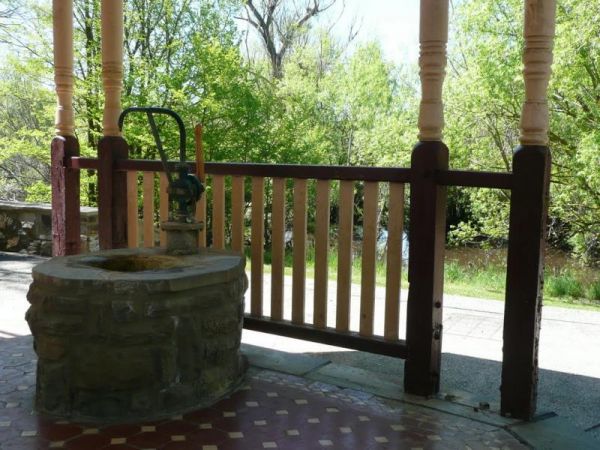
The Kyneton Mineral Springs Rest Area is next to the Campaspe River. There is a small pavillion where you can hand pump some fresh Mineral Water to take with you, and picnic tables, bbq, children's playground next to it. Entrance to the Kyneton Mineral S ...
Laanecoorie Lakeside Park
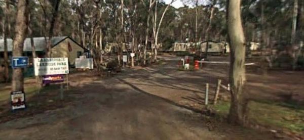
Entrance to the Laanecoorie Lakeside Park Laanecoorie Lakeside Park location map
Lake Albacutya Regional Park Camping Area is sometimes very low on water due to drought conditions, so bring your own drinking water to be safe. Lake Albacutya Regional Park Camping Area location map
Entrance to the Lake Anderson Caravan Park Lake Anderson Caravan Park location map
The Lake Barrington Camping Area has a 48 Hour Limit for camping. There is a public toilet and tap water onsite. the lake is only a short walk away for those who like fishing or taking photos. Entrance to the Lake Barrington Camping Area Lake Barringt ...
Lake Boga Caravan Park Entrance to the Lake Boga Caravan Park Lake Boga Caravan Park location map
The Lake Boga Rest Area is on the shore of Lake Boga, with plenty of parking and a toilets to make your rest a bit more pleasant. P.S. The lake is sometimes subject to drought condition, so NO WATER. Entrance to the Lake Boga Rest Area Lake Boga Rest ...
Lake Bolac Caravan & Tourist Park
Entrance to the Lake Bolac Caravan Park Lake Bolac Caravan Park location map
Lake Burrumbeet Caravan Park
Entrance to the Lake Burrumbeet Caravan Park Lake Burrumbeet Caravan Park location map
Lake Charm Rest Area
The Lake Charm Rest Area is next to Racecourse Lake and water levels vary according to seasonal conditions. Entrance to the Lake Charm Rest Area Lake Charm Rest Area location map
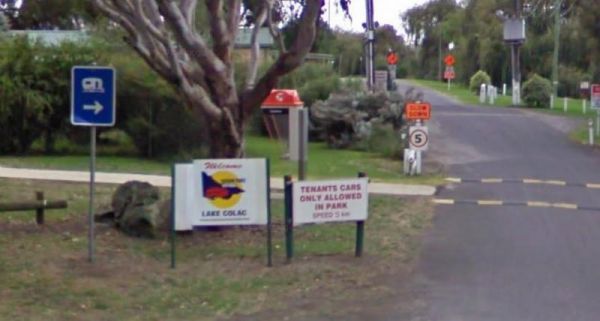
Entrance to the Lake Colac Caravan Park Lake Colac Caravan Park location map
The Lake Cowan Rest Area Nice set back a short distance from the Coolgardie-Esperance Highway. Here there are some rubbish bins, open fire BBQ and some small trees for shade, you can also venture further away from the main road on a few short tracks. Ent ...
The Lake Douglas Recreation Reserve has a Drop toilet with lots of walking trails, only 3 overnight stays, rangers patrol area. There are rubbish bins, picnic tables, the fire pits have free firewood supplied by the rangers. Entrance to the Lake Douglas ...
Entrance to the Lake Eppalock Holiday Park Lake Eppalock Holiday Park location map
Lake Fyans Holiday Park
Entrance to the Lake Fyans Holiday Park Lake Fyans Holiday Park location map
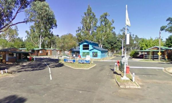
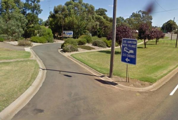
Entrance to the Lake Hamilton Motor Village and Caravan Park Lake Hamilton Motor Village and Caravan Park location map
Entrance to the Lake Hume - Discovery Parks Lake Hume - Discovery Parks location map
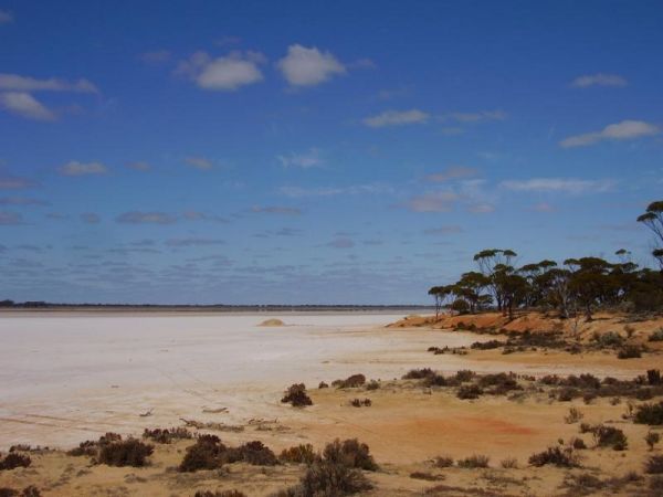
The Lake Johnston Camping Area is not far from the salt lake itself. The ground is reasonable level for your caravan, and a few trees for shade, but not much in the way of fish catch. Entrance to the Lake Johnston Camping Area Lake Johnston Camping Ar ...
NOTE: NO Camping in Tents PermittedEntrance to the Lake Learmonth Caravan Park Lake Learmonth Caravan Park location map
Lake Narracan Caravan Park
Entrance to the Lake Narracan Caravan Park Lake Narracan Caravan Park location map
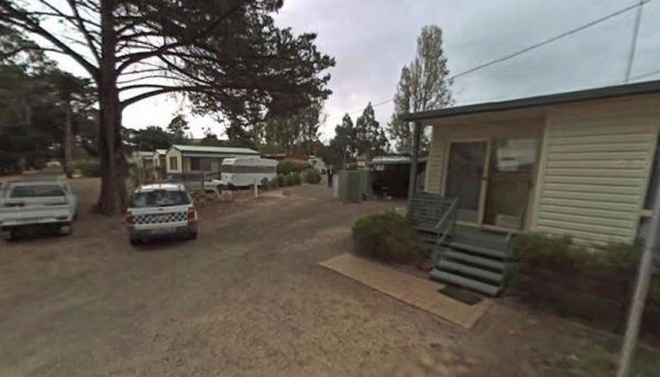
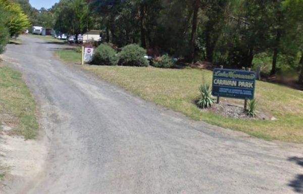
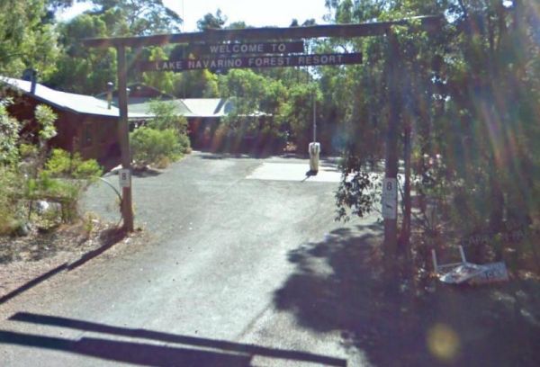
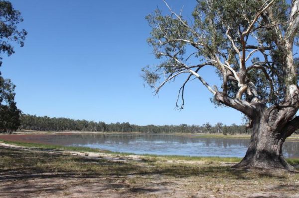
The Lake Navarino Holiday Park has fire pits, plenty of trees for shade. The camp kitchen is decent but pretty small. Entrance to the Lake Navarino Holiday Park Lake Navarino Holiday Park location map
The Lake Ratzcastle Camping Area has flushing toilets, tank water and hot showers. There are plenty of camping spots available for large rigs or caravans near the lake. Sit back and relax, maybe try your luck at catching a Yabbie or two for dinner. Entra ...
Lake Towerrinning Lakeside Camping
The Lake Towerrinning Lakeside Camping is lakeside, But its best to bring your own drinking water, as the water tower might be low or empty. Entrance to the Lake Towerrinning Lakeside Camping Lake Towerrinning Lakeside Camping location map
The Lake Weeroona Park Rest Area has a good playground for the children and you. It's a rather nice place to have a rest. Entrance to the Lake Weeroona Park Rest Area Lake Weeroona Park Rest Area location map
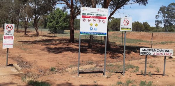
Lake Wyangan Picnic Area 72 Hour Limit
Entrance to the Lake Wyangan Picnic Area 72 Hour Limit Lake Wyangan Picnic Area 72 Hour Limit location map
Lakes & Craters Holiday Park
Entrance to the Lakes & Craters Holiday Park Lakes & Craters Holiday Park location map
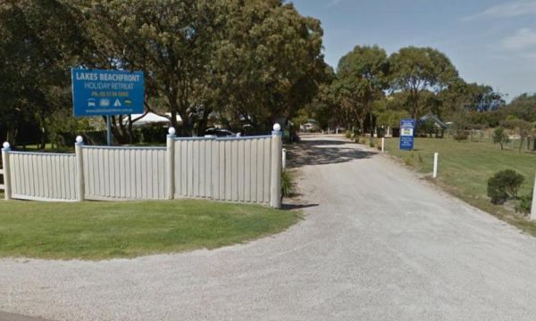
Lakes Beachfront Holiday Retreat
Entrance to the Lakes Beachfront Holiday Retreat Lakes Beachfront Holiday Retreat location map
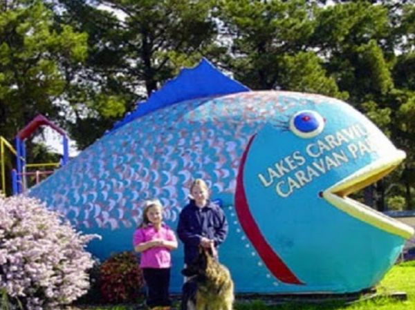
Lakes Caravilla Caravan Park
Entrance to the Lakes Caravilla Caravan Park Lakes Caravilla Caravan Park location map
Lakes Entrance Tourist Park
Entrance to the Lakes Entrance Tourist Park Lakes Entrance Tourist Park location map
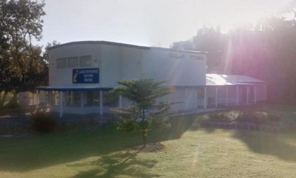
Lakes Entrance Visitors Information Centre
The Lakes Entrance Visitors Information Centre is opposite the Marine Parade Reserve which has bbq facilities and fishing. Entrance to the Lakes Entrance Visitors Information Centre Lakes Entrance Visitors Information Centre location map
LakeView Caravan Park
Entrance to the LakeView Caravan Park LakeView Caravan Park location map
The Lakeview Caravan Park Entrance to the Lakeview Caravan Park Lakeview Caravan Park location map
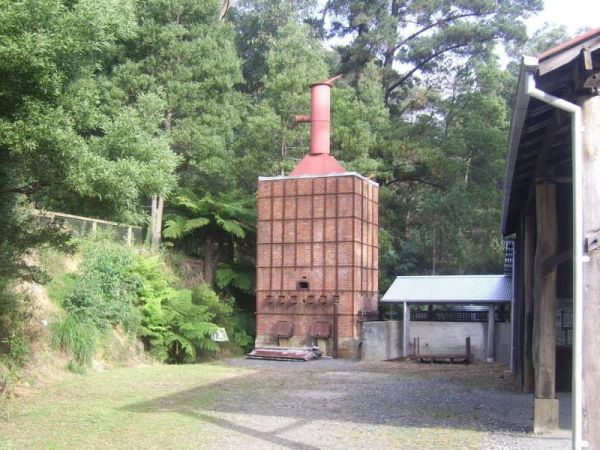
The Lal Lal Blast Furnace Rest Area is a beautiful historic location. and well worth a visit. Be sure to take the walk to the Blast Furnace and read the information plaques to understand the history, and bring your camera with you. Entrance to the Lal La ...
The Lal Lal Falls Rest Area has a BBQ, toilets and shelter. It is a nice place to take a few photos and have a picnic. Note: This waterfall is seasonal, so winter is the best time to see the waterfall in action. Entrance to the Lal Lal Falls Rest Area ...
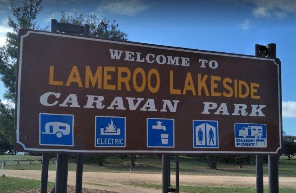
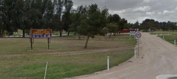
Entrance to the Lameroo Lakeside Caravan Park Lameroo Lakeside Caravan Park location map
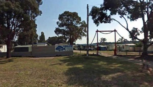
Lealow Caravan Park
Entrance to the Lealow Caravan Park Lealow Caravan Park location map
The Leven Canyon Reserve Rest Area has plenty of picnic tables and a public toilet. There is an undercover BBQ fireplace with seats, and an outside rain water tap. There are some walks with spectacular views and well worth the 15 to 45 minutes to walk the ...
Lightning Creek Camping Area
The Lightning Creek Camping Area has drop toilets, bbqs, picnic tables, large grassy areas with shaded areas to camp under, with the Snowy Creek not too far away. Entrance to the Lightning Creek Camping Area Lightning Creek Camping Area location map
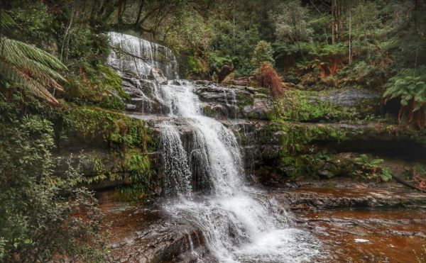
The Lilydale Falls Reserve Camping Area has a 48 Hour Limit for campers. There is plenty of space on grass for tents but limited to approximately 15 car parking spaces, so this is better suited to campervans and tents. The falls are a short distance away, ...
Lilydale Pine Hill Caravan Park is at the gateway to Victoria’s famous Yarra Valley and the Dandenong Ranges. We have a range of modern & affordable accommodation in Lilydale, Victoria. Whether you need a Cabin or a Site for your RV’s, caravan, la ...
Litchfield Tourist Park
Entrance to the Litchfield Tourist Park Litchfield Tourist Park location map
Entrance to the Little Desert Nature Lodge Little Desert Nature Lodge location map
Little Topar Rest Area
Entrance to the Little Topar Rest Area Little Topar Rest Area location map
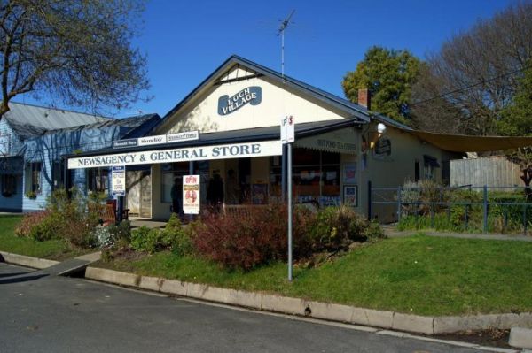
The Loch Memorial Reserve Camping Area is within easy walking distance to the local General Store, so you can pick up a newspaper and some supplies. Entrance to the Loch Memorial Reserve Camping Area Loch Memorial Reserve Camping Area location map
Loch Sport Caravan Park
Entrance to the Loch Sport Caravan Park Loch Sport Caravan Park location map
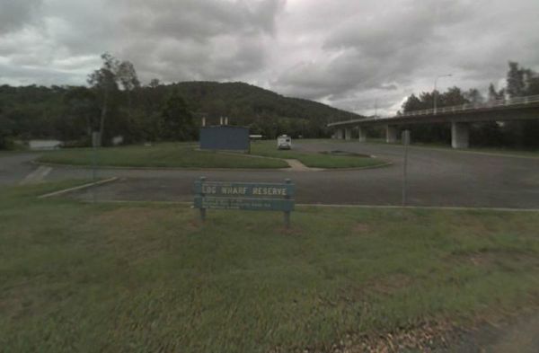
Log Wharf Reserve Rest Area
Entrance to the Log Wharf Reserve Rest Area Log Wharf Reserve Rest Area location map
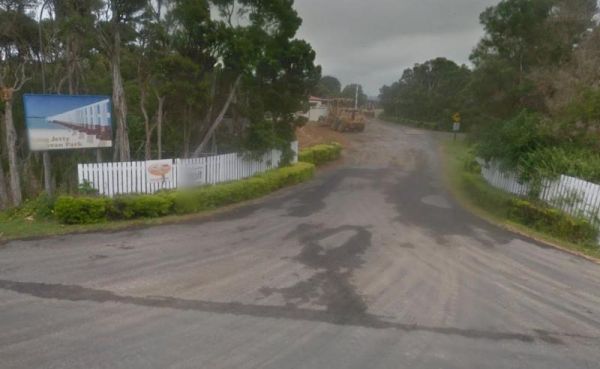
Long Jetty Caravan Park
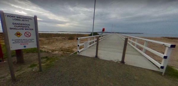
If your staying at the Long Jetty Caravan Park, you must go to the Welshpool Long Jetty and take the 750 metre walk to the end, be sure to take some warm clothes with you in the cooler months as the wind can make you feel a bit chilly. NOTE: Dump point us ...
The Lower Liffey Reserve Camping Area is set amongst tall gumtrees, with a public toilet and a few picnic tables with BBQ fireplaces. There is a nice walk available to the falls area, and you will get a few good photo opportunities once there. Entrance t ...
The Lyndon River East Rest Area has a 24 hour stopover limit, picnic tables under shady trees, fixed fireplaces and a few rubbish bins plus a public toilet. You will have no problems finding a place to park even the largest of rigs. Entrance to the Lyndo ...
Entrance to the MacCullochs Range Rest Area MacCullochs Range Rest Area location map
Entrance to the Macedon Caravan Park Macedon Caravan Park location map
Macksville Lions Park Rest Area
The Macksville Lions Park Rest Area Entrance to the Macksville Lions Park Rest Area Macksville Lions Park Rest Area location map
Entrance to the Macquarie Woods Forest Reserve Free Camping Grounds Macquarie Woods Forest Reserve Free Camping Grounds location map
The Macrossan Park Rest Area is located on the bank of the Burdekin River. The main area is quite a distance from the Flinders Highway, with a public toilet, rubbish bins, picnic tables, and open fireplaces. You can fish here or take a walk along the larg ...
The Maggie Creek Rest Area is just off the Great Northern Highway, a rubbish bin and room to park your caravan. The creek is quit close so pop over and see if there is any water in it. Entrance to the Maggie Creek Rest Area Maggie Creek Rest Area loca ...
Magorra Caravan Park
Entrance to the Magorra Caravan Park Magorra Caravan Park location map
Entrance to the Maiden's Inn Holiday Park Maiden's Inn Holiday Park location map
The Malcolm Dam Nature Reserve has a 3 Day stopover limit, and is located on a large man made lake with plenty of birdlife to photograph. There are some fire pits to cook on, and undercover picnic tables. Entrance to the Malcolm Dam Nature Reserve Mal ...
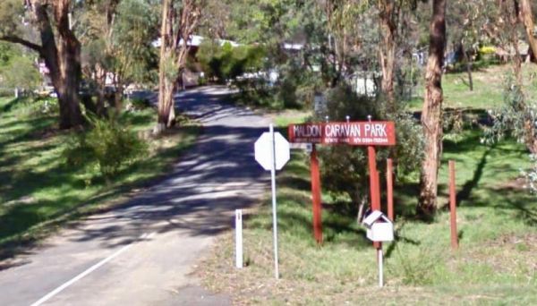
Entrance to the Maldon Caravan & Camping Park Maldon Caravan & Camping Park location map
The Mallala Camping Ground is a free camping ground with Hot showers that are coin operated. Campsites are good value at $10.00 per night.You are quite close to town here, and you get will your pantry from the IGA, and have a break from cooking, by headin ...
Entrance to the Mallee Fowl Rest Area Mallee Fowl Rest Area location map
The Malone Park Rest Area has plenty of space for all caravans and motorhomes of all sizes. Entrance to the Malone Park Rest Area Malone Park Rest Area location map
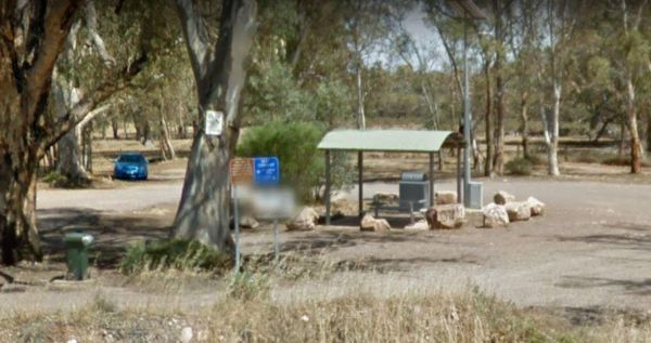
Mambray Creek Rest Area
The Mambray Creek Rest Area has plenty of room to park. Check out the Old Mambray Creek rail bridge while your there. There are undercover picnic tables, rubbish bins and plenty of shade to park under. There is a rest are on both sides of the road and pic ...
Discounts available if you stay for one week or more.There are freshwater prawns in the Katherine River. Entrance to the Manbulloo Homestead Manbulloo Homestead location map
Entrance to the Mandurama East Rest Area Mandurama East Rest Area location map
Mannus Camping Area
Entrance to the Mannus Camping Area Mannus Camping Area location map

Manton Dam Recreation Area
No Camping is Permitted at the Manton Dam Recreation Area. This is a nice spot to pop your Kayak into and paddle around for a bit, and maybe do some fishing.Gates are Open:Monday to Friday from 9am to 5pm. Weekends and public holidays from 8am to 7pm. En ...
Entrance to the Maranup Ford Caravan Park Maranup Ford Caravan Park location map
March Fly Glen Rest Area
The March Fly Glen Rest Area is a short distance from the Derby Gibb River Road, with picnic tables and set fireplaces, plus some trees for shade. March Fly Glen Rest Area location map
Marengo Holiday Park
Entrance to the Marengo Holiday Park Marengo Holiday Park location map
Entrance to the Marina View Van Village Marina View Van Village location map
The Marlay Point Free Camping is located approx 18kms from Sale on Clydebank Road, turn off at signs to Marlay Point. Nice grassy area (just near yacht club). Entrance to the Marlay Point Free Camping Marlay Point Free Camping location map
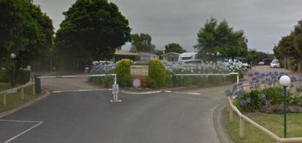
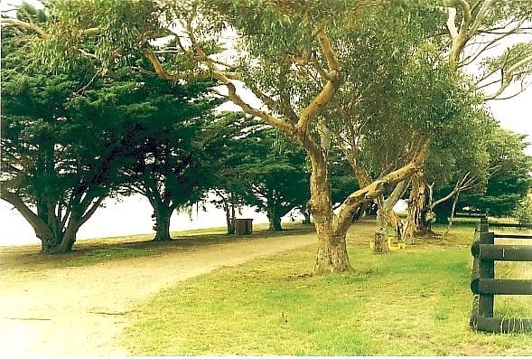
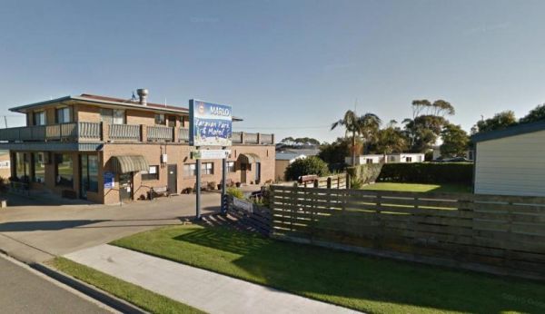
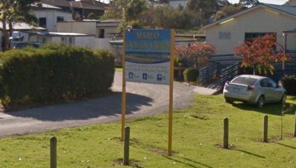
Entrance to the Marlo Ocean View Caravan & Camping Park Marlo Ocean View Caravan & Camping Park location map
Entrance to the Marong Caravan & Cabin Village BIG4 Marong Caravan & Cabin Village BIG4 location map
The Married Mens Camping Areais best suited to 4x4's and vehicle based camping. There are a reasonable amount of tent spaces available, and the Arnold Creek is nearby for running water.. Married Mens Camping Area location map
The Martin's Bend Reserve Campground has plenty of camping sites. Note: Direct Riverside Bank Camping is not permitted, there are dedicated campsites, at reasonable prices. Entrance to the Martin's Bend Reserve Campground Martin's Bend Reserve Campgro ...
Maryborough Caravan Park
Entrance to the Maryborough Caravan Park Maryborough Caravan Park location map
Marysville Caravan and Holiday Park
Entrance to the Marysville Caravan and Holiday Park Marysville Caravan and Holiday Park location map
The McClelland Camping Area is with best accessed with 4x4's and vehicle based tent camping, you will need to bring everything you need and take your rubbish with you, water is available from the Big River, but make sure you treat it first before drinking ...
The McDermid Rock Camping Area is a fairly quiet place to camp. There are fairly flat areas to park your caravan, some picnic tables and fixed fire places. Be sure to take a stroll up the rock, and take your camera with you. At the base of McDermid Rock y ...
The Meckering Memorial Park Stock has public toilets a few rubbish bins and picnic tables and some trees for shade. Be sure to explore the park and read about the earthquake that devastated this area on October 14th, 1968. The train Railway line is an exa ...
Entrance to the Melbourne Big4 Holiday Park Melbourne Big4 Holiday Park location map
Entrance to the Mendooran Free Camp48 Hour Limit Mendooran Free Camp 48 Hour Limit location map
The Meredith Rest Area is a large gravel area with plenty of parking available. There is a toilet block a BBQ, undercover seating and room to stretch your legs. Meredith Rest Area 360 Entrance to the Meredith Rest Area Meredith Rest Area location m ...
The Miaree Pool Rest Area is a short drive down a dirt road to the Nullagine River, where there is a fireplace BBQ and undercover picnic tables. Entrance to the Miaree Pool Rest Area Miaree Pool Rest Area location map
Entrance to the Mick Tuck Riverside Reserve 24 Hour Limit Mick Tuck Riverside Reserve 24 Hour Limit location map
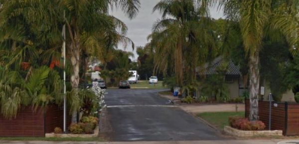
Entrance to the Mildura - All Seasons Holiday Park Mildura - All Seasons Holiday Park location map
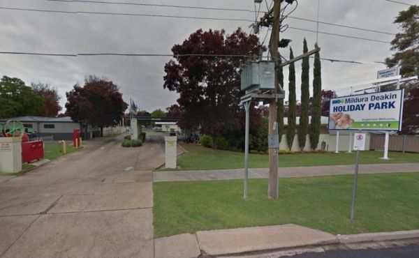
Entrance to the Mildura Deakin Holiday Park BIG4 Mildura Deakin Holiday Park BIG4 location map
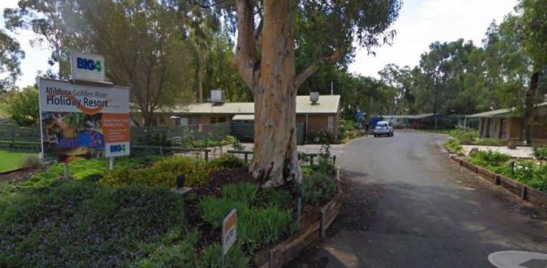
Entrance to the Mildura Golden River Holiday Resort BIG4 Mildura Golden River Holiday Resort BIG4 location map
The Millicent Lakeside Caravan Park Entrance to the Millicent Lakeside Caravan Park Millicent Lakeside Caravan Park location map
The Miners Campground has two drop toilets, and a communal fire in the evening. During wildflower season this place is packed, so it's best to book well ahead of your visit. This campsite is close to the Irwin River, and the Western Australia's first coal ...
The Miners Flat Camping Area has space mainly for vehicle based camping and a few tents. Entrance to the Miners Flat Camping Area Miners Flat Camping Area location map
Entrance to the Miners Rest Caravan Park Miners Rest Caravan Park location map
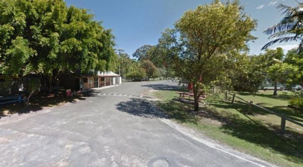
Minnie Water Holiday Park
Entrance to the Minnie Water Holiday Park Minnie Water Holiday Park location map
Moama West Holiday Park have a Boat Ramp which is always handy for kayaks and canoes to launch from, especially if the river bank is steep elsewhere. Entrance to the Moama West Holiday Park Moama West Holiday Park location map
Entrance to the Moe Gardens Caravan Park Moe Gardens Caravan Park location map
The Mokoan Rest Area (Northbound) is a busy truck stop and very well appointed, a great place to pull over to take a break from driving with plenty of room to park. Entrance to the Mokoan Rest Area (Northbound) Mokoan Rest Area (Northbound) location m ...
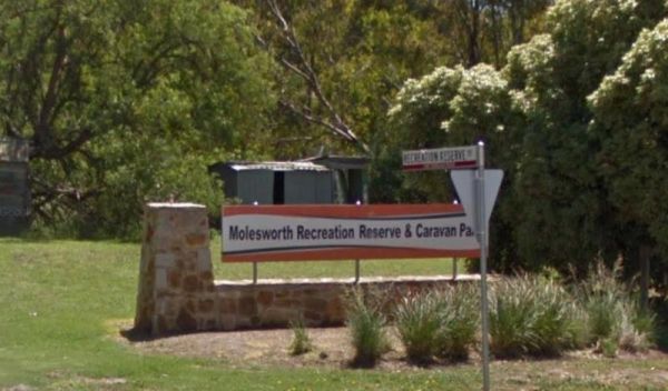
Molesworth Reserve Camping Ground
Entrance to the Molesworth Reserve Camping Ground Molesworth Reserve Camping Ground location map
The Moliagul Rest Area has a toilet and bbq plus undercover picnic table, as a side note, John Flynn the founder of the Flying Doctor service was born nearby and they have a monument commemorating this here. Entrance to the Moliagul Rest Area Moliagul ...
Nice spot to let the kids have some fun on the playground while your using the undercover BBQ area, and it's also just a short walk to the Molongo River to try your luck catching dinner. Molonglo Gorge Reserve rest area location map
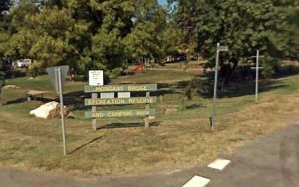
Mongans Bridge Caravan Park
Entrance to the Mongans Bridge Caravan Park Mongans Bridge Caravan Park location map
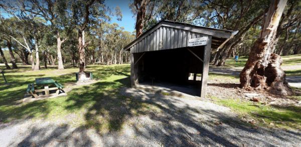
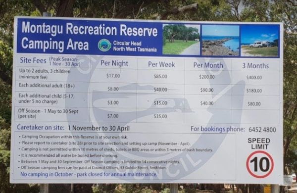
The Montagu Camping Area has restrictions as to how many weeks or months you can camp here. They close during October for site maintenance, so I'd suggest you phone ahead to book your campsite, and check availability. Montagu Camping Area location map ...
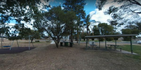
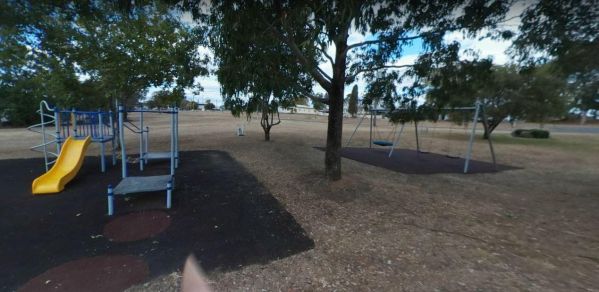
The Monto Lions Park Rest Area has undercover picnic tables, lots of rubbish bins, a public toilet, and a nice childrens playground. Camping is not permitted her, but is a nice spot to have a break from driving, and refresh yourself. Entrance to the Mont ...
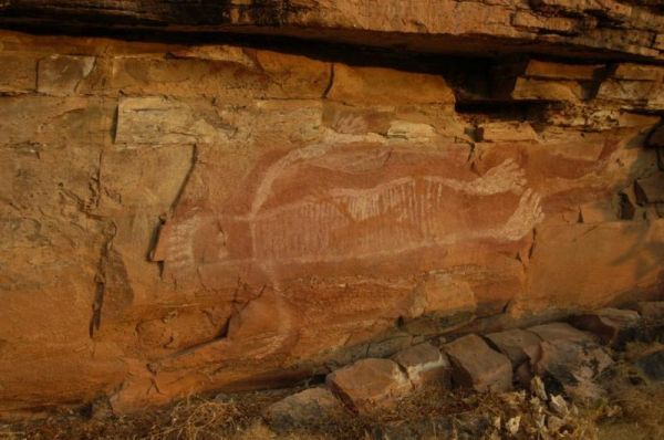
The Moochalabra Dam Picnic Area you check out the overhanging cliff face for Aboriginal Rock Paintings while in this general area. Moochalabra Dam Picnic Area location map
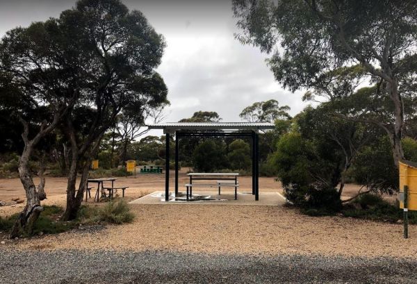
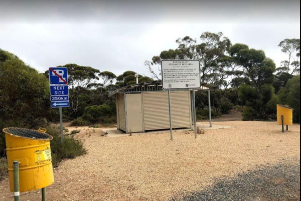
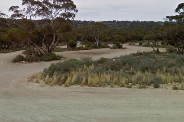
The Moodini Bluff Rest Area has a 24 Hour Stopover Limit with lots of room and reasonably level to cater for all sized rigs. There is a public toilet, undercover picnic tables, rubbish bins, and trees for shade. NOTE: The next rest area, is 250k's down th ...
The Moonera Tank Rest Area has a public phone and plenty of level ground and set well back from the main road, you can go even further away fro the highway if your adventurous. Entrance to the Moonera Tank Rest Area Moonera Tank Rest Area location map ...
The Mooroopna Rest Area is a nice spot to pull over and have a BBQ it also has a Skateboarding Ramp next to Rest Area to keep the kids busy. Entrance to the Mooroopna Rest Area Mooroopna Rest Area location map
Mornington Gardens Holiday Village
Entrance to the Mornington Gardens Holiday Village Mornington Gardens Holiday Village location map
Entrance to the Mornington Peninsula Holiday Park BIG4 Mornington Peninsula Holiday Park BIG4 location map
Entrance to the Mount Beauty Holiday Centre and Caravan Park Mount Beauty Holiday Centre and Caravan Park location map
Mount Bryan Rest Area
The Mount Bryan Rest Area is opposite the Mount Bryan Hotel, and the General Store, with public toilets, rubbish bins, and picnic table under some shady trees and BBQ's. There is plenty of room to park even the largest of motorhomes, and caravans. Overall ...
Mount Buffalo Caravan Park
Entrance to the Mount Buffalo Caravan Park Mount Buffalo Caravan Park location map
The Mt Bryan Rest Area is just off the Barrier Highway on a gravel surface. There is plenty of room to park your caravan or motorhome, there is some shade, rubbish bins and BBQ, all directly across the road from the Hotel. Entrance to the Mt Bryan Rest A ...
The Mt Langi Ghiran State Park Camp Area This site is suited for bush camping remember to Bring plenty of water. there are lots of Walking Tracks to choose from Make certain you are well equipped if you decide to go trekking. I always recommend setting th ...
Entrance to the Mt Mittamatite Caravan Park Mt Mittamatite Caravan Park location map
Mt Schank Picnic Area - Extinct Volcano
The Mt Schank Picnic Area main feature is the Extinct Volcano located here. There is plenty of parking on bothe asphalt and some gravel areas. The walking track is well defined, but does get a bit steep in places. Entrance to the Mt Schank Picnic Area - ...
The Mt Thirsty Rest Area has a 24 Hour Limit for stopovers, There is plenty of shady spots to choose from all on level ground, with some trees for shade and a few rubbish bins.This rest spot is close to Lake Cowan, and it's worth taking a look at the salt ...
Entrance to the Mundoonan Truck Stop Rest Area Mundoonan Truck Stop Rest Area location map
The Munglinup Rest Area Very popular spot and easy walking distance to the local roadhouse on Tabada St behind the rest area. Entrance to the Munglinup Rest Area Munglinup Rest Area location map
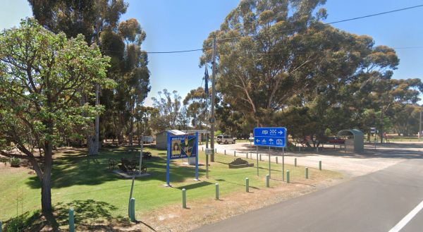
Murrayville Park Rest Area
The Murrayville Park Rest Area has a public toilet, and picnic tables and there is a Children's Playground and Hotel directly across the road. Entrance to the Murrayville Park Rest Area Murrayville Park R locationmapest Area
Murrurundi Caravan Park
Entrance to the Murrurundi Caravan Park Murrurundi Caravan Park location map
Myrtleford Holiday Park
Entrance to the Myrtleford Holiday Park Myrtleford Holiday Park location map
The Nanango Tipperary Flat Rest Area is nice and level with a 20 Hour Limit for stopovers. There are shady gum trees to park under, a public toilet, and picnic tables, some bbq fireplaces, and rubbish bins. The peanut wagon is also stationed here, they al ...
Entrance to the Narrawong Caravan Park Narrawong Caravan Park location map
The Narrung Jetty Reserve is a beautiful free camping site grassy area. There are two toilet blocks, rubbish bins and water for washing dishes etc. NOTE: 72 Hour Limit for camping Entrance to the Narrung Jetty Reserve Narrung Jetty Reserve location ma ...
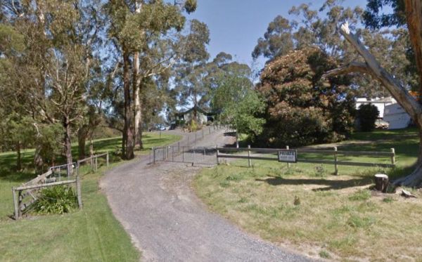
Neerim South Caravan Park
Entrance to the Neerim South Caravan Park Neerim South Caravan Park location map
The Neil Turner Weir Rest Area is on the banks of the Maranoo River and has lots to offer for an overnight stay. There are Public toilets and a few things for the kids to play on. You will find push button electric BBQs undercover picnic tables and rubbis ...
Nerren Nerren Rest Area
The Nerren Nerren Rest Area has a 24 Hour Stop Over Limit and runs parallel to the North West Coastal Highway. There are public toilets, rubbish bins, some shade, and plenty of room to park for all sized rigs. Entrance to the Nerren Nerren Rest Area N ...
The Newman Visitor Information Centre has quite an interesting story to tell about the short history of Newman, and an incredibly long history of the original inhabitants, so it's well worth your time to drop in, and gain some local knowledge. Entrance t ...
Entrance to the Newmans Road Rest Area Southbound Newmans Road Rest Area Southbound location map
Ngumban Cliff Lookout Rest Area
The Ngumban Cliff Lookout Rest Area has a 24 Hour Stop Over Limit. There is a public toilet, undercover picnic tables with plenty of level ground for you to park your caravan on. It's a good overnight stopping place, but make sure your early as its a popu ...
The Niagara Dam Camping Area now has an asphalt road that can be a bit narrow in places. There are public toilets, picnic tables, and some shade. Bear in mind that the dams water levels fluctuate seasonally. Niagara Dam Camping Area location map
The Nicholson Rest Area is on the Nicholson River, with toilets and picnic tables for your pleasure, there is also water on tap, and fishing at your doorstep, all in all not a bad place to rest for a few minutes. Entrance to the Nicholson Rest Area Ni ...
Entrance to the Nicholson River Caravan Park Nicholson River Caravan Park location map
The Nigretta Falls Scenic Reserve is a nice place to visit, with stairs right down to the river. If you want to see the waterfall at its best, make sure you come during the winter season.Please Note: Camping is not permitted, however, 10 minutes up the ro ...
The Nillibubbica Rest Area is a 24 Hour Limit stop over, with level ground to park on. There is a public toilet, a Dump Point, undercover picnic tables, and large rubbish bins. Entrance to the Nillibubbica Rest Area Nillibubbica Rest Area location map ...
The Norseman Visitor Centre has a nice small park next door with BBQ facilities and picnic tables, and nice gumtrees for shade. Monday to Friday 9am–5pm Saturday 9am–12pm and 1pm–4pm Sunday 9.30am–4pm Public Holidays 9am–1pm Closed Christmas Day and ...
North Arm Tourist Park
Entrance to the North Arm Tourist Park North Arm Tourist Park location map
NRMA Bairnsdale Riverside Holiday Park
The NRMA Bairnsdale Riverside Holiday Park is pet friendly and has a great location next to the Mitchell River, plus its within easy walking to the local shops, and restaurants. Entrance to the NRMA Bairnsdale Riverside Holiday Park NRMA Bairnsdale Ri ...
The NRMA Bright Holiday Park is located on the banks of Morse’s Creek which flows into the Ovens River all within easy walking distance from your campsite. Entrance to the NRMA Bright Holiday Park NRMA Bright Holiday Park location map
Entrance to the NRMA Halls Gap Holiday Park BIG4 NRMA Halls Gap Holiday Park BIG4 location map
Entrance to the Nungarry Rest Stop Southbound Only Nungarry Rest Stop Southbound Only location map
Entrance to the Nyah Village Caravan Park Nyah Village Caravan Park location map
Entrance to the Nyngan Riverside Tourist Park Nyngan Riverside Tourist Park location map
Entrance to the Nyngan Rotary Park Rest Area Nyngan Rotary Park Rest Area location map
Oasis Tourist Park
Ocean Grove Holiday Park
Entrance to the Ocean Grove Holiday Park Ocean Grove Holiday Park location map
Old Bonalbo Pioneers Park Rest Area
Entrance to the Old Bonalbo Pioneers Park Rest Area 24 Hour Limit Old Bonalbo Pioneers Park Rest Area 24 Hour Limit location map
Entrance to the Ooma Creek Rest Area Ooma Creek Rest Area location map

Orroral Campground
Orroral Campground is located in a National Park and can accommodate up to six caravans, camper trailers or campervans, there are also plenty of vehicle tent spaces available. This campsite has Wood and gas barbecues (firewood not provided - bring your ow ...
Otways Tourist Park
Entrance to the Otways Tourist Park Otways Tourist Park location map
Overshot Hill Nature Reserve - PERMANENTLY CLOSED
The Overshot Hill Nature Reserve has a 24 Hour Limit for stopovers. There are some rubbish bins and picnic tables, with plenty of shady spots to choose from. REST AREA NOW CLOSED Entrance to the Overshot Hill Nature Reserve Overshot Hill Nature Res ...
Oxley's Crossing Rest Area
Entrance to the Oxley's Crossing Rest Area Oxley's Crossing Rest Area location map
Paddys River Rest Area
The Paddys River Rest Area is a large asphalt area with no shade but there is room to park your camper here to take a break from driving. When your here you might as well get out of your vehicle and stretch your legs, and take a short walk around the car ...
The Padthaway Park Rest Area has quite a bit of room to park. There is a public toilet, some rubbish bins, and a children's playground. You can also drop into the Padthaway General Store for some supplies, and even grab some fuel before continuing on your ...
Painters Island Caravan Park
Entrance to the Painters Island Caravan Park Painters Island Caravan Park location map
Peak Charles National Park Camping Area
The Peak Charles National Park Camping Area access road can be very rough at times. There are dedicated fire pits, undercover picnic tables, and plenty of walking tracks. The track to the summit is not well marked, so do take care if you intend to do the ...
Peggs Beach Conservation Area Campgrounds
The Peggs Beach Conservation Area Campgrounds is controlled by Parks Tasmania. Entrance to the Peggs Beach Conservation Area Campgrounds Peggs Beach Conservation Area Campgrounds location map
The Pemberton Visitor Information Centre has some picnic tables out front, and an Interesting museum on local timber industry Entrance to the Pemberton Visitor Information Centre Pemberton Visitor Information Centre location map
The Perth Lions Park Rest Area Entrance to the Perth Lions Park Rest Area Perth Lions Park Rest Area location map
The Peter Denny Lookout Flat area is off the Agnew-Sandstone Road with picnic tables and low shrubs. The parking is on level ground and its only a short walk to view the natural gorge in the landscape. Entrance to the Peter Denny Lookout Peter Denny L ...
The Petrudor Rock Camping Area has a toilet block and some picnic table. It's a nice spot to enjoy the wildflowers when there in season. Petrudor Rock Camping Area location map
Entrance to the Phillip Island Caravan Park Big4 Phillip Island Caravan Park Big4 location map
The Pildappa Rock has lots of room to park under shady trees. There is an undercover picnic table here right next to the rock itself. Note: The local council does not encourage camping here. Pildappa Rock location map
Pilgrim Memorial Park Rest Area
Entrance to the Pilgrim Memorial Park Rest Area Pilgrim Memorial Park Rest Area location map

Pinch River Camping Area
Entrance to the Pocock Park Rest Area Pocock Park Rest Area location amp
Porepunkah Holiday Park Big4
Entrance to the Porepunkah Holiday Park Big4 Porepunkah Holiday Park Big4 location map
Porepunkah Pines Tourist Resort
Entrance to the Porepunkah Pines Tourist Resort Porepunkah Pines Tourist Resort location map
Port Albert Seabank Caravan Park
Entrance to the Port Albert Seabank Caravan Park Port Albert Seabank Caravan Park location map
Port Campbell Caravan Park
Entrance to the Port Campbell Caravan Park Port Campbell Caravan Park location map
Port Fairy Anchorage Holiday Park BIG4
Entrance to the Port Fairy Anchorage Holiday Park BIG4 Port Fairy Anchorage Holiday Park BIG4 location map
Port Fairy Holiday Park
Entrance to the Port Fairy Holiday Park Port Fairy Holiday Park location map
Port Gibbon Camping Area
The Port Gibbon Camping Area is off Beach Road with picnic tables, rubbish bins, water, and a dump point, there is a maximum camping stay of 14 nights at a time. Entrance to the Port Gibbon Camping Area Port Gibbon Camping Area location map
The Port Parham Foreshore Camping Reserve is a wonderful free camp close to the water, and it's a great crabbing area, but be prepared to walk a fair way at low tide to catch your blue swimmer crabs. There are BBQ's, and taps with Potable water throug ...
Port Stephens Treescape Camping and Accommodation
Entrance to the Port Stephens Treescape Camping and Accommodation Port Stephens Treescape Camping and Accommodation location map
Entrance to the Portland Holiday Village Portland Holiday Village location map
Entrance to the Portland Tourist Park Portland Tourist Park location map
Entrance to the Pothana Lane Rest Area Pothana Lane Rest Area location map
Entrance to the Prom Central Caravan Park Prom Central Caravan Park location map
Queenscliff Victoria Park
Entrance to the Queenscliff Victoria Park Queenscliff Victoria Park location map
The RAC Cervantes Holiday Park offer discounts to RACV Members. The caravan park has a fully-equipped camp kitchen a shell museum, Coffee shop and walking distance to the beach. Entrance to the RAC Cervantes Holiday Park RAC Cervantes Holiday Park loc ...
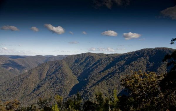
Raspberry Lookout Gibraltar Range National Park Rest Ar...
Raspberry Lookout Gibraltar Range National Park Rest Area location map
Raymond Creek Falls Campground has some picnic tables, wood fired BBQ's, and public toilets. There is a walking track to the base of Raymond Falls, its roughly a 20 minute walk one way, but well worth it, and remember to take your camera with you, and you ...
Red Cliffs Caravan Park
Entrance to the Red Cliffs Caravan Park Red Cliffs Caravan Park location map
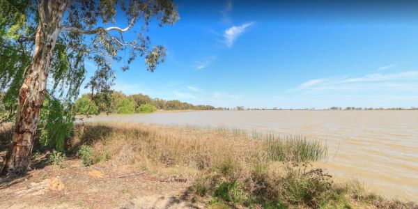
Reedy Lake Apex Park Rest Area
The Reedy Lake Apex Park Rest Area is next to the boat ramp, with lake access so you might be lucky and catch a fish or yabby. Entrance to the Reedy Lake Apex Park Rest Area Reedy Lake Apex Park Rest Area location map
Reid River Rest Area
The Reid River Rest Area has a 20 Hour Limit for stopovers. There is plenty of room to park your caravan, with some trees for shade. Public toilets and undercover picnic tables with a few rubbish bins. The Reid River itself is a seasonal river, so little ...
Resthaven Caravan Park
Entrance to the Resthaven Caravan Park Resthaven Caravan Park location map
Riba's Underground Camping & Caravan Park
The Riba's Underground Camping & Caravan Park is a little off the beaten track with the basic Facilities but good and clean. You can camp underground for a different experience, and they offer camping discounts to those who do a mine tour. Riba's Und ...
Entrance to the Riverlander Caravan Park Riverlander Caravan Park location map
Riverview Caravan Park
The Riverview Caravan Park have some unpowered camp sites right on the banks of the Buckland River. Entrance to the Riverview Caravan Park Riverview Caravan Park location map
Riverview Family Caravan Park
Entrance to the Riverview Family Caravan Park Riverview Family Caravan Park location map
The Robe River Rest Area has a 24 Hour Limit Stopover limit. There are public toilets, some rubbish bins, and undercover picnic tables. You will have no trouble parking any sized rig, but shade is almost non existent, and there may or may not be any water ...
Entrance to the Robinvale Riverside Caravan Park Robinvale Riverside Caravan Park location map
Rose Bay Park Rest Area
The Rose Bay Park Rest Area has a 12 Hour Limit for parking here. There is a public toilet, some picnic tables, rubbish bins and free electric bbqs plus a children's playground. You can also walk over to the water, and try to catch a fish before moving on ...
Entrance to the Rosedale Vicroads Wayside Stop Rosedale Vicroads Wayside Stop location map
Entrance to the Roses Park Rest Area Roses Park Rest Area location map
The Ryan Creek Rest Area has an information bay, a BBQ and picnic tables, so it's not a bad place to pull over for a few minutes, take a break and watch the traffic go by. Entrance to the Ryan Creek Rest Area Ryan Creek Rest Area location map
The Sale Visitor Centre is located in the council building. Entrance to the Sale Visitor Centre Sale Visitor Centre location map
Entrance to the San Remo Holiday Park San Remo Holiday Park location map
Sandy Point Holiday Park
Entrance to the Sandy Point Holiday Park Sandy Point Holiday Park location map
Saunders Beach Park Rest Area
The Saunders Beach Park Rest Area is very popular amongst travellers who want a peaceful and beautiful place to stop over for 48 Hours before moving on. Parking is fairly tight, due to the amount of caravans and small motorhomes who stopover here. There i ...
Scrubby Creek Rest Area
Entrance to the Scrubby Creek Rest Area Scrubby Creek Rest Area location map
The Sea Lake North Rest Area is on the corner of Calder Highway and Baileys Road. It's about 1km from the Lake Tyrrell Viewing platform, and worth the extra time to take a few photos from there. Entrance to the Sea Lake North Rest Area Sea Lake North ...
The Seaforth Foreshore Reserve Camping Area. Bookings are advised for peak periods. Seaforth - Booking office is located on site.Note: There are 87 campsites and 26 sites set aside for campers travelling with dogs Entrance to the Seaforth Foreshore Reser ...
The Seaview Holiday Park Dogs are not allowed at the park on Labour Day Weekend, Easter Weekend, Boxing Day- right through to Australia Day. Every other day dogs are allowed Entrance to the Seaview Holiday Park Seaview Holiday Park location map
Entrance to the Seven Mile Beach Holiday Park Seven Mile Beach Holiday Park location map
The Seymour Regional Visitor Information Centre is located in the Old Court House historic building. There is als a small art gallery to look at when you visit here. Entrance to the Seymour Regional Visitor Information Centre Seymour Regional Visitor ...
The Shadbolts Picnic Area is between Eaglehawk-Neilborough Road and Skylark Road and close to the Raywood Channel. There is not a lot to do here, however there are a few areas, to walk to and explore for the more adventurous out there. Entrance to Shadbo ...
Entrance to the Shady Lane Tourist Park Shady Lane Tourist Park location map
Sheepyard Flat Camping Area
The Sheepyard Flat Camping Area is a large area with many campsites to choose from. During the summer months an ice truck loaded with all sorts of goodies frequents the campground. Plenty of grassy areas to choose from on the banks of the Howqua River, bu ...
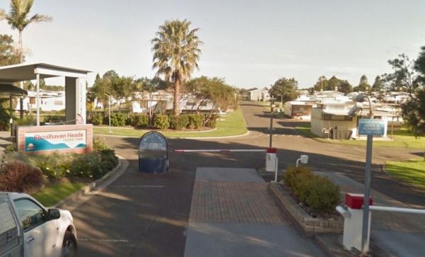
Shoalhaven Heads Holiday Park
Entrance to the Shoalhaven Heads Holiday Park Shoalhaven Heads Holiday Park location map
Silver Sands Tourist Park
Entrance to the Silver Sands Tourist Park Silver Sands Tourist Park location map
Singleton East Rest Area Will be Permanently Closed on ...
Entrance to the Singleton East Rest AreaWill be Permanently Closed on the 20th February 2020 Singleton East Rest Area location map
Sisters Beach Foreshore Parking Area
The Sisters Beach Foreshore Parking Area is a pleasant place to stop and have a bite to eat. There are BBQ's, picnic tables,rubbish bins and a public toilet. There is also a children's playground, and a few walking trails to the beach. Entrance to the Si ...
The Six Mile Creek Rest Area has room for quite a few caravans. The ground is reasonably level, with some trees offering shade. A public toilet, and a dump point for black water. Undercover picnic tables, rubbish bins and even a water tap are found t this ...
Skenes Creek Beachfront Park
Entrance to the Skenes Creek Beachfront Park Skenes Creek Beachfront Park location map
The Smiths Bridge Campground is a large tidy area with fire pits & bbq plate, a drop toilet, picnic tables, an running tap water, with plenty of shade to choose your campsite. Entrance to the Smiths Bridge Campground Smiths Bridge Camping Area loc ...
Smythesdale Park Rest Area
The Smythesdale Park Rest Area has room for caravans and motorhomes. There is a small fee charged for those interested in camping at the Park. Entrance to the Smythesdale Park Rest Area Smythesdale Park Rest Area location map
Entrance to the Somers Caravan Park Somers Caravan Park location map
The Sorell Council Overnight Stop Area has a minimal fee, and for the money you get a BBQ, undercover picnic tables, potable water and a dump point.Note: The maximum permitted stay is 5 nights.Permits are available from the Council offices between 8:00am ...
The Spring Creek Rest Area has a 24 hour limit for stopovers a public toilet, and a dump point. There are rubbish bins, undercover picnic tables, and level areas to park under shady gum trees next to Spring Creek. Entrance to the Spring Creek Rest Area ...
Spring Hill Rest Area
Entrance to the Spring Hill Rest Area Spring Hill Rest Area location map
Entrance to the Springfield Rest Area Springfield Rest Area location map
Entrance to the Square Bush Rest Area Square Bush Rest Area location map
The St Helens Holiday Park Big4 has a well equipped camp kitchen and the outdoor camp kitchen with wood fired pizza oven. Note to campers: At night they play the radio in the toilets, so maybe keep a bit of distance when your choosing your campsite. Entr ...
The St Peters Pass Rest Area is almost halfway between Launceston and Hobart. There is a public toilet and covered picnic and BBQ areas, plus a short walking track up hill so you can stretch your legs. Entrance to the St Peters Pass Rest Area St Peter ...
Stanley Rest Area
The Stanley Rest Area has a 24 Hour Stopover Limit. There is a public toilet, a dump point, undercover picnic tables and litter disposal points. Yo will find plenty of room to park the biggest rigs, and your spoilt with lots of level ground to choose from ...
The Stawell Federation Park Rest Area is a large gravel area with water taps and fireplaces and picnic tables., you can also walk over the Grampians Rd and enjoy a short walk around the small lake, There are also public toilets and an information board at ...
Stawell Park Caravan Park
Entrance to the Stawell Park Caravan Park Stawell Park Caravan Park location map
Stockyard Creek Rest Area
Entrance to the Stockyard Creek Rest Area Stockyard Creek Rest Area location map
Entrance to the Stoney Creek Rest Area Stoney Creek Rest Area location map
Entrance to the Stratford Top Tourist Park Stratford Top Tourist Park location map
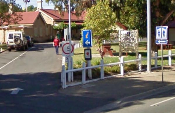
Strathalbyn Visitor Information Centre
The Strathalbyn Visitor Information Centre is located in the old Railway Station. There is plenty of room to park your caravan, and the kids can play on the playground while you get some information about the Strathalbyn area. There is a market on Saturda ...
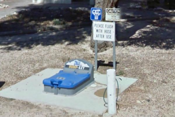
Streaky Bay Park Free Dump Point
The Streaky Bay Park Free Dump Point has plenty of room to park your motorhome or caravan next to the Dump Point. There are public toilets, undercover picnic tables and BBQ's, and some rubbish bins and a children's playground to keep you busy for a minute ...
Sun City Caravan Park
Entrance to the Sun City Caravan Park Sun City Caravan Park location map
Entrance to the Surf Beach Holiday Park Surf Beach Holiday Park location map
Swaggies Beach Camping Area
Entrance to the Swan Hill Riverside Caravan Park Swan Hill Riverside Caravan Park location map
Entrance to the Swan Lake Holiday Park Swan Lake Holiday Park location map
Swan Reach Gardens Tourist Park
Entrance to the Swan Reach Gardens Tourist Park Swan Reach Gardens Tourist Park location map
Entrance to the Taggerty Holiday Park BIG4 Taggerty Holiday Park BIG4 location map
The Tall Timbers Tasmania has free camping for self contained RV's, and you are restricted to 72 hours only.For a small fee, RV travelers are welcome to use the tennis courts, BBQ and laundry facilities, as well as our Bottle Shop, Bistro, Bar and Gaming ...
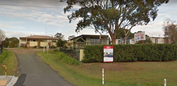
Tambo River Tourist Park
Entrance to the Tambo River Tourist Park Tambo River Tourist Park location map
The Tarpeena Margaret Medhurst Memorial Park Rest Area is located next to the Tarpeena Memorial Hall. There is electric BBQ's, Picnic tables, public toilets, and fresh water taps, and a skate park. Entrance to the Tarpeena Margaret Medhurst Memorial Park ...
Tarra Valley Caravan Park
Entrance to the Tarra Valley Caravan Park Tarra Valley Caravan Park location map
The Taungurung Truck Stop Rest Area (Southbound Only) if you decide to stay overnight, make sure you don't block the semi trailer drivers, who need this spot more than you. Entrance to the Taungurung Truck Stop Rest Area (Southbound Only) Taungurung T ...
Entrance to the Taylor Creek Rest Area Taylor Creek Rest Area Map Location
The Tcharkulda Rock Rest Area has a gas bbq, public toilets, an old stone hut with fireplace and some history to it. While your here be sure to checkout the wall that was built to catch the run off from the rock, to the reservoir. Tcharkulda Rock Rest Ar ...
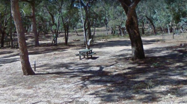
Teddington Reservoir Camping Area
The Teddington Reservoir Camping Area has well maintained facilities and toilets. There is plenty of wildlife around your campsite to help keep you entertained. Entrance to the Teddington Reservoir Camping Area Teddington Reservoir Camping Area locati ...
Teds Beach Camping Area
The Teds Beach Camping Area is on the Lake Pedder foreshore, with an undercover BBQ and picnic area. There is plenty of room to park your caravan and there is a public toilet here also. Entrance to the Teds Beach Camping Area Teds Beach Camping Area l ...
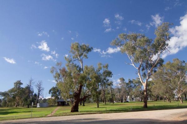
Terramungamine Reserve 24 Hour Limit
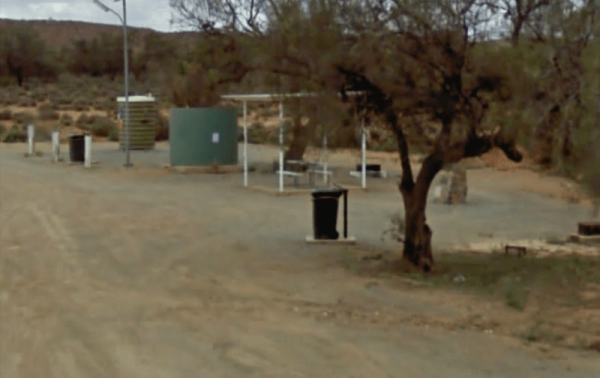
Thackaringa Hills Rest Area
Entrance to the Thackaringa Hills Rest Area Thackaringa Hills Rest Area location map
The Thangool Memorial Park Rest Area The entrance to the Thangool Memorial Park Rest Area Thangool Memorial Park Rest Area location map
The Bert Dix Memorial Park Area is lovely spot on the Murray River. You have BBQ''s, picnic tables a few rubbish bins, and a nice childrens playground. There is plenty of room to turn around with your caravan, this is a really nice place to spend a n hour ...
The The Boolarra Recreation Reserve is easy to book simply pop into the Boolarra Club Hotel to book your site. Entrance to the The Boolarra Recreation Reserve The Boolarra Recreation Reserve location map
The Breakaways Camping Area has a public toilet and fire pits located throughout the camp area. There are plenty of picnic tables to choose from also. Don't forget to take a stroll over to the Breakaways themselves, with your camera of cause. Entrance to ...
The Fort O'Hare Camping Area on the banks of the Glenelg River, pet friendly, drop toilets, a few fire pits, and picnic tables scattered around, you will also find an Honesty box at local store for camp fees. When it town be sure to have a look at the woo ...
Entrance to the The Palms Caravan Park The Palms Caravan Park location map
Entrance to the The Ponds Camp Rest Area The Ponds Camp Rest Area location map
The Wattles Camping Area has a few suitable camp sites available, but it's better suited for campervans than caravans. Entrance to the Wattles Camping Area The Wattles Camping Area location map
The Thurra River Rest Area has water on tap, but please treat it first before drinking, there are also picnic tables and a few BBQ's, there is also has a nice walk along the Drummer Creek, remember to take your camera with you. Entrance to the Thurra Riv ...
Tia Falls Camping Area
Entrance to the Tia Falls Camping Area Tia Falls Camping Area location map
The Tiaro Memorial Park Free Camping Area has hot showers available in the Amenities block. A free electric BBQ , picnic tables and rubbish bins. There is a 48 hour limit for stopovers, and it's not too far to walk to get a hot meal. Entrance to the Tiar ...
The TM Price Rotary Park Rest Area is just off the Sturt Highway with off-road parking on the other side of the reserve for self contained motorhomes, there is a 24 Hour Limit imposed and No Caravans permitted. Entrance to the TM Price Rotary Park Rest A ...
The Tolmie Rest Area has a toilet and a picnic table and overnight Camping is permitted here, there is a pub approx 100 metres from this rest spot. Entrance to Tolmie Rest Area Tolmie Rest Area location map
The Toolangi Streamside Reserve is fairly close to the Yea River, and there is a 24 hour stopover limit. There are toilets and rubbish bins here to make your visit pleasant. Toolangi Streamside Reserve location map
The Tooleybuc Park has a large gravel area to park your van or motorhome, and its close to the Tooleybuc bridge over the Murray River, and conveniently located across the road from a pub, so you can grab a meal while stopping here. Entrance to the Tooley ...
Tooloom Falls Camping Area
The Tooloom Falls Camping Area has a few drop toilets and a few picnic table, you will also find some fire pits scattered around this campsite. It's a nice place to visit during the week as its relatively quite, and tends to get a few more campers through ...
The Toomulla Beach Foreshore Reserve has bbq's and a few picnic tables and a public toilet. The beach is not too far away, and you can catch a fish in the inlet. Entrance to the Toomulla Beach Foreshore Reserve Toomulla Beach Foreshore Reserve locatio ...
The Tooradin Foreshore Reserve is now a very active boat launching spot, the victorian government has removed boat launching fees for this location, and as such, parking is at a premium Entrance to the Tooradin foreshore camping Tooradin foreshore cam ...
The Toorongo Falls Campground 1 has toilets, fireplaces, and plenty of room to choose a campsite alongside the Toorongo River. Firewood can be obtained from the Noojee General Store Toorongo Falls Campground 1 location map
The Torneys Tank Bushland Reserve Rest Area is set back on gravel road just off the Calder Highway, with picnic tables and rubbish bins. Take a break from driving and grab a bite to eat. There is plenty of room for even the largest of rigs. Entrance to t ...
Entrance to the Torquay Foreshore Caravan Park Torquay Foreshore Caravan Park location map
Entrance to the Torquay Holiday Park Torquay Holiday Park location map
Trial Bay Campground
The Trial Bay Campground is a very popular destination.I suggest booking in advance as the best spots book out fast.There is a dump point at trial bay campground. It's around the front, past the boat ramp and below the gaol, in the 'overflow area. Entran ...
Tullibigeal Pioneer Park Rest Area
Entrance to the Tullibigeal Pioneer Park Rest Area Tullibigeal Pioneer Park Rest Area location map
The Tully Gorge National Park Camping SiteNOTE: Estuarine crocodiles occur in the Tully River adjacent to the camping area so don't become crock bait and take a swim. Tully Gorge National Park Camping Site location map
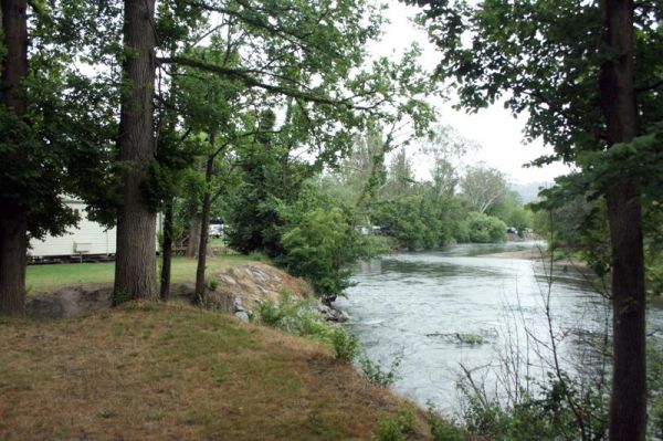
Tumut Caravan Park NSW
Stayed a few nights at Riverglade CP. before going over the Snowy Mountain Hwy. to Cooma.Quite a lovely park,right on the river,lots to see around the area.They have leaflet with 5 day trips to do,we will certainly come back.
Entrance to the Tumut Park Rest Area Tumut Park Rest Area location map
If your travelling to Tuncurry, you might want to stay at the Twin Dolphins Holiday Park. Here you will have access to Free WiFi, a camp kitchen, laundry, an onsite kiosk, heated showers, swimming pool, BBQ, a guest dump point etc. Tuncurry Chinese Res ...
The Underbool Park has plenty of room to park, public toilets and undercover bbq and picnic tables. There is also a public phone booth and a pub within walking distance. Entrance to the Underbool Park Underbool Park location map
Entrance to the Valley View Caravan Park Valley View Caravan Park location map
Entrance to the Venus Bay Caravan Park Venus Bay Caravan Park location map
The Victory Park is located opposite the main Shopping strip. Great place to stop, grab a bite to eat, or stock up on food for your trip. Entrance to the Victory Park Victory Park location map
Visit Prom Country Information Centre, has Free Wi-Fi, very helpful and informative staff who will make sure you enjoy your visit to the area. They will also help you find the best accommodation to suite your needs.There is also plenty of room to park al ...
The Wagerup Rest Area is set back a short distance from the South Western Highway offering some shade, fireplaces on level ground. Entrance to the Wagerup Rest Area Wagerup Rest Area location map
The Walcha East Rest Area is set back from the Oxley Highway, with an undercover picnic table, a bbq fireplace and a few rubbish bins. There is some trees for shade also. Entrance to the Walcha East Rest Area Walcha East Rest Area location map
Walkerville Foreshore Camping Reserve
Entrance to the Walkerville Foreshore Camping Reserve Walkerville Foreshore Camping Reserve location map
Wallabadah Rest Area
Wallabadah Rest Area is located on the banks of the Qurindi Creek with shaded areas to park your caravan. A children's playground and toilet are onsite to make it a pleasant stopover.Make sure you walk over and take a look at the First Fleet Memorial Gard ...
Wallangarra Lions Park Rest Area
The Wallangarra Lions Park Rest Area is on the corner of Margetts Street and the New England Highway. There is a driver reviver operation here, along with a BBQ, picnic tables and rubbish bins and a public toilet. Just behind the toilets is a children's p ...
The Walpeup Rest Area is a gravel area has undercover picnic tables, and a few rubbish bins and a BBQ's. Entrance to the Walpeup Rest Area Walpeup Rest Area location map
Wanda Wandong Camping Area is in Goobang National Park and has a large open area for Caravans and Campervans etc. The walking track includes several informative signs that give insight into the local Aboriginal culture. Wanda Wandong Camping Area locatio ...
The Wang Wauk Rest Area has a 24 hour maximum time limit and has Toilets, BBQ's, Rubbish bins, Sheltered picnic tables and some water is available, but must be treated before drinking. Entrance to the Wang Wauk Rest Area Wang Wauk Rest Area location m ...
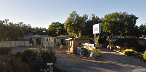
Wangaratta BIG4 - North Cedars Holiday Park
Entrance to the Wangaratta BIG4 - North Cedars Holiday Park Wangaratta BIG4 - North Cedars Holiday Park location map
Wangaratta Caravan & Tourist Park
Entrance to the Wangaratta Caravan & Tourist Park Wangaratta Caravan & Tourist Park location map
Entrance to the Wantirna Park Caravan Park Wantirna Park Caravan Park location map
Waratah Bay Caravan Park
Entrance to the Waratah Bay Caravan Park Waratah Bay Caravan Park location map
Entrance to the Warburton Caravan Camping Park Warburton Caravan Camping Park location map
The Warra Rest Area has a few things for the kids to play on. A public toilet and picnic tables, bbq and rubbish bins, parking big caravans might be a bit difficult. Entrance to the Warra Rest Area Warra Rest Area location map
The Warren Gorge Camping Area This campground is run by the local council for a nominal fee placed in the donation box. Entrance to the Warren Gorge Camping Area Warren Gorge Camping Area location map
The Warri Camping Reserve has a toilet onsite, with plenty of camping spots located next to the Shoalhaven River. Fishing enthusiasts and photographers will definitely like this spot. Entrance to the Warri Camping Reserve Warri Camping Reserve locatio ...
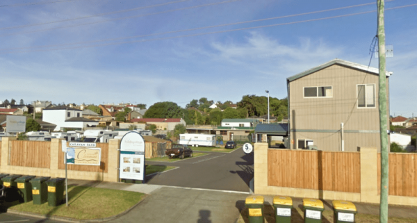
Warrnambool Claremont Holiday Village
Entrance to the Warrnambool Claremont Holiday Village Warrnambool Claremont Holiday Village location map
Warrnambool Discovery Holiday Parks
The Warrnambool Discovery Holiday Parks is only a short walk to Pertobe Park and the beach. This Caravan Park is a great place to stay a night or two if your on a trip along the Great Ocean Road. Entrance to the Warrnambool Discovery Holiday Parks War ...
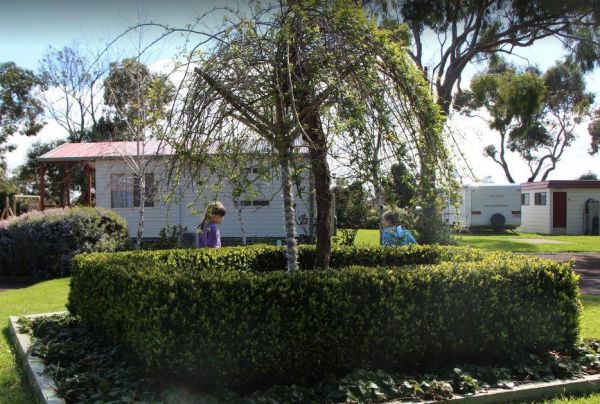
Warrnambool Holiday Park
Entrance to the Warrnambool Holiday Park Warrnambool Holiday Park location map
The Waterfalls Picnic and Campground has plenty of camping spots. Lots of picnic tables and fireplaces, and a drop toilet. Also you have quite a few hiking tracks to choose from, including an 18 km Pyrenees Endurance Walk. Entrance to the Waterfalls Picn ...
Waters Edge Holiday Park BIG4
Entrance to the Waters Edge Holiday Park BIG4 Waters Edge Holiday Park BIG4 location map
Waverley Creek Rest Area
The Waverley Creek Rest Area is well lit at night, there are public toilets, picnic tables and BBQ's, non potable water and plenty of room to park all sized rigs. Expect a bit of road noise if you stay overnight, and there is a driver reviver scheme here ...
Wedderburn Pioneer Caravan Park
Entrance to the Wedderburn Pioneer Caravan Park Wedderburn Pioneer Caravan Park location map
Werribee South Beach Caravan Park
Entrance to the Werribee South Beach Caravan Park Werribee South Beach Caravan Park Location map
The Western Beach Camping Area has excellent toilets with lighting and tank water on tap. Western Beach Camping Area location map
Western Port Harbour Caravan Park
Entrance to the Western Port Harbour Caravan Park Western Port Harbour Caravan Park location map
Whiters Holiday Village Big4
Entrance to the Whiters Holiday Village Big4 Whiters Holiday Village Big4 location map
The Wimmera Lakes Caravan Resort Entrance to the Wimmera Lakes Caravan Resort Wimmera Lakes Caravan Resort location map
Wintersun Cabin & Caravan Park
Entrance to the Wintersun Cabin & Caravan Park Wintersun Cabin & Caravan Park location map
Entrance to the Wodonga Caravan & Cabin Park Wodonga Caravan & Cabin Park location map
The Wood Wood Rest Area has NO CAMPING signs, so remember this if you intend to stop for an hour or two. It's also a bit on the tight side if your towing a van. Entrance to the Wood Wood Rest Area Wood Wood Rest Area location map
The Woodburn Park Visitor Information Centre is located on the banks of the Richmond River. There are plenty of shops across the road to keep you occupied. The littlies are also catered for her, there is a small playground and toilets nearby. Entrance to ...
Woods Reserve
The Woods Reserve camping area is located on the banks of the Gibralter Creek, and a maximum stay of two weeks permitted. payment can be made at the Tidbinbilla Visitors' Centre, at the box onsite or to the Ranger. Walk to the Gibralter Falls Space fo ...
The Wooli Caravan Park is located between the Wooli Wooli River and the open Ocean {tab title="Local Places to Eat" class="grey"} Harry's Chinese Restaurant, Bowling Club Main Street Wooli Bowling & Recreation Club, Lawn Bowls Club · Main Street ...
The Wyaralong Dam Camping Area has two camping areas available. The lilybrook Recreation Area and Ngumbi campsite. There is a public toilet, cold showers, water tanks, bbq's, undercover picnic tables and a children's playground. Entrance to the Wyaralong ...
Entrance to the Wye River Holiday Park BIG4 Wye River Holiday Park BIG4 location map
The Yaamba Rest Area is just off the Bruce Highway so you will hear trucks passing in the night. There is a public toilet, a bbq and undercover picnic tables, and plenty of level ground to park on. The Royal Oak Hotel is worth a visit to get a good pub me ...
The Yaapeet Beach Camping Area, definitely not a good fishing destination. On average Lake Albacutya fills every twenty years or so. If you intend to camp here, bring plenty of drinking water with you. Yaapeet Beach Camping Area location map
The Yachting Point Camping Area is located on the Blowerning Reservoir and is a bring everything camping spot, and don't forget to take your rubbish with you. Entrance to the Yachting Point Camping Area Yachting Point Camping Area location map
Yackandandah Holiday Park
Entrance to the Yackandandah Holiday Park Yackandandah Holiday Park location map
Yackandandah Lake Picnic Reserve
The Yackandandah Lake Picnic Reserve is on the edge of the Allans Flat Waterhole, so there is a good chance you can catch a fish for dinner here, or maybe take a plunge and go for a swim instead.This artificial lake was created by Gold miners in the 1850s ...
Yallunda Flat Showgrounds Camping Area
The Yallunda Flat Showgrounds Camping Area is just off the Yallunda Flat Road. There are BBQ's and room to park your caravan for the night, Camping here is via a donation, which goes towards the showgrounds upkeep. Entrance to the Yallunda Flat Showgroun ...
Entrance to the Yanakie Caravan Park Yanakie Caravan Park location map
The Lance Moon Park is close to the Yanakie General Store, so you can grab a few supplies, and have a BBQ before you head off to your destination. Entrance to the Lance Moon Park Lance Moon Park location map
Yarra Valley Park Lane Holiday Park BIG4
Entrance to the Yarra Valley Park Lane Holiday Park BIG4 Yarra Valley Park Lane Holiday Park BIG4 location map
Yarrawonga Holiday Park
Entrance to the Yarrawonga Holiday Park Yarrawonga Holiday Park location map
Yarrawonga Westside Caravan Park
Entrance to the Yarrawonga Westside Caravan Park Yarrawonga Westside Caravan Park location map
The Yass Valley Visitor Information Centre is next to Coronation Park which has a playground, and a Toilet block and BBQ's available to the traveller. Entrance to the Yass Valley Visitor Information Centre Yass Valley Visitor Information Centre locati ...
Entrance to the Yea Riverside Caravan Park Yea Riverside Caravan Park location map
The Yeoval Showground Camping Area has lots of space for campers and is an easy walk to the main business area of town. The Buckinbah Creek runs along the back of the showground, but is very shallow, so I don't think it will interest people who want to ca ...
The Yerdani Well Rest Area has lots of tracks that lead back into the bush suitable for an overnight stay. There are fireplaces, rubbish bins, and plenty of shade to park under. Entrance to the Yerdani Well Rest Area Yerdani Well Rest Area location ma ...
The Yornaning Dam Rest Area has BBQ's and picnic tables, with plenty of shady spots to park.No Camping Permitted. Day Rest Area Only. Entrance to the Yornaning Dam Rest Area Yornaning Dam Rest Area location map
Yuppeckiar Park Rest Area
The Yuppeckiar Park Rest Area is a short distance from the Glenelg Highway, Be careful if you decide to park on the grass area, as there is a ditch sometimes hidden and you will get bogged there if towing a caravan. Entrance to the Yuppeckiar Park Rest A ...
The Zonhoven Park Rest Area is on the banks of the Burnett River and has a 20 Hour Limit for stopovers. There is a public toilet with wheelchair access, cold showers and a bbq and picnic tables. Entrance to the Zonhoven Park Rest Area Zonhoven Park Re ...

