Facilities Available: Pet Friendly
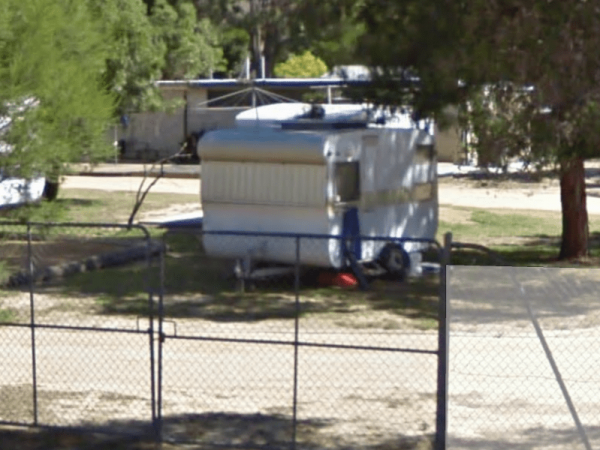
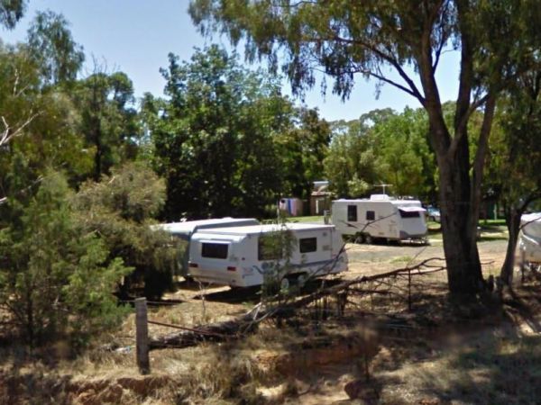
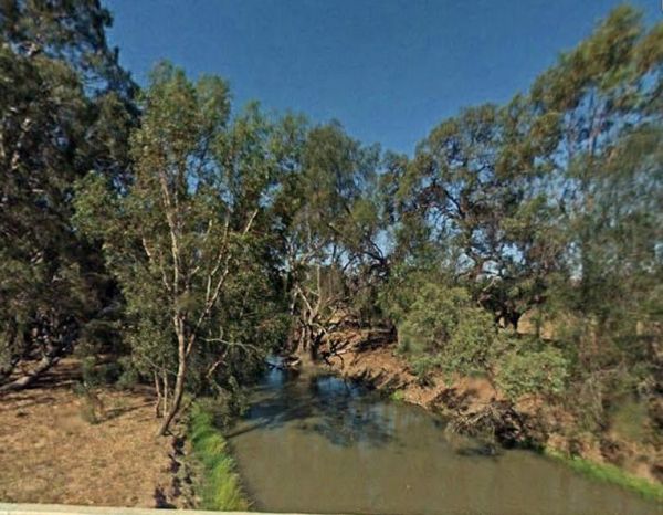
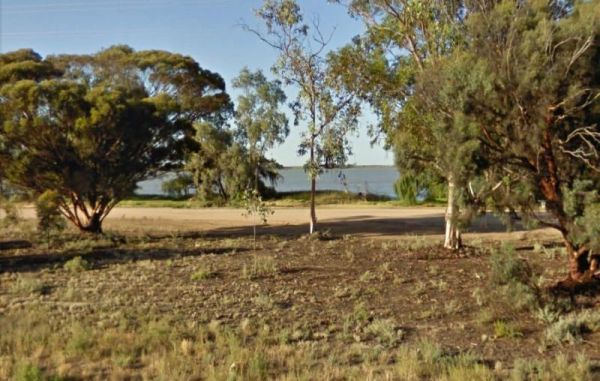
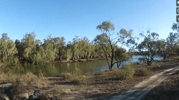
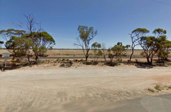
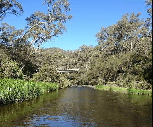
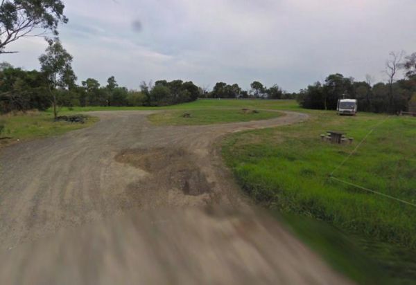
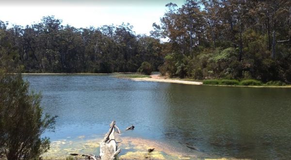
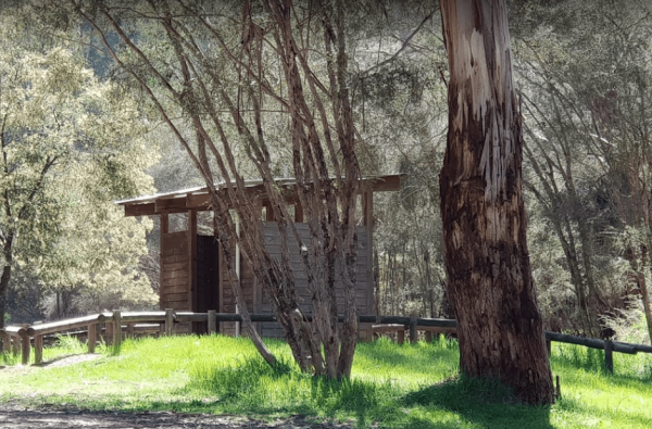
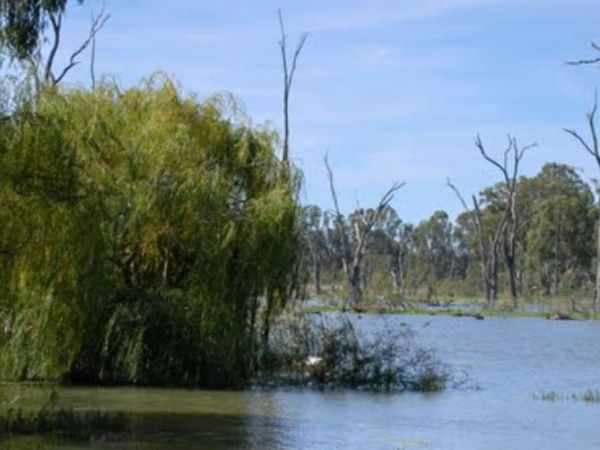
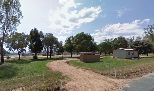
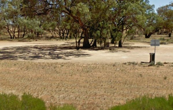
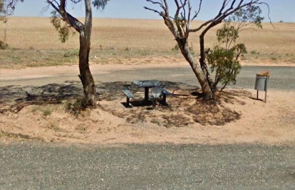
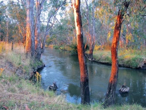
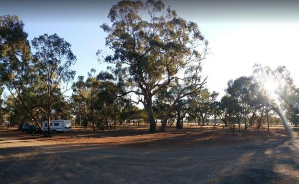
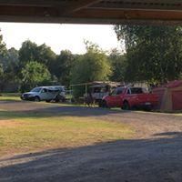
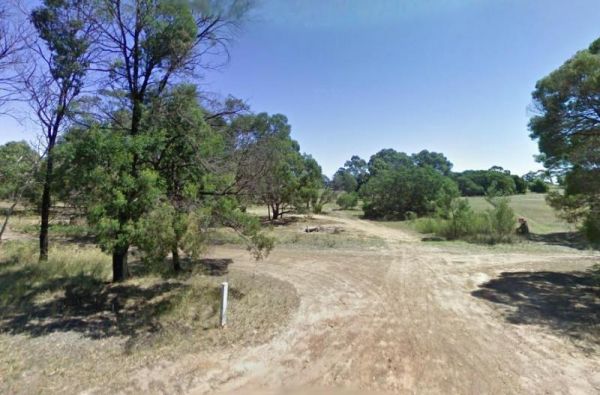
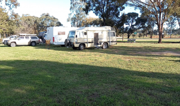
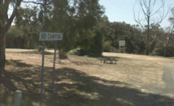
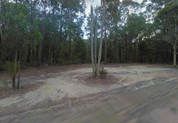
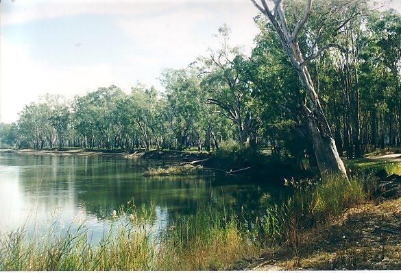
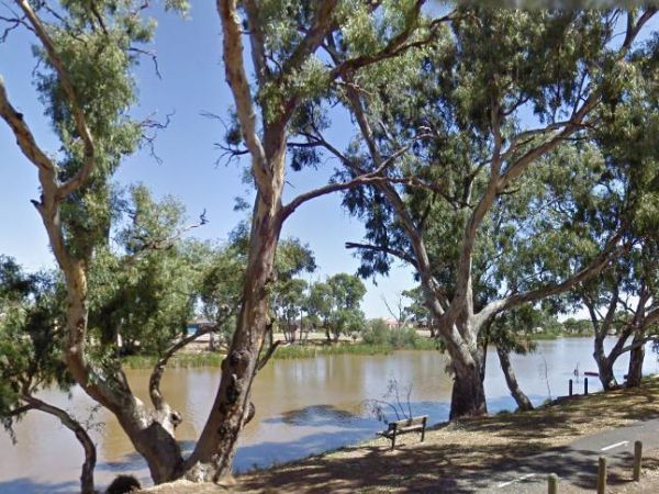
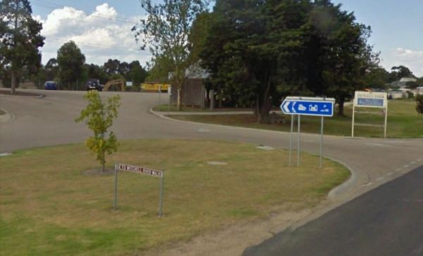
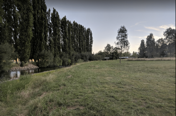
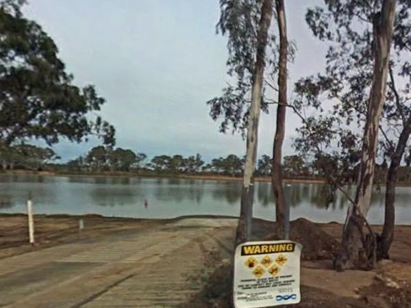
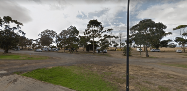
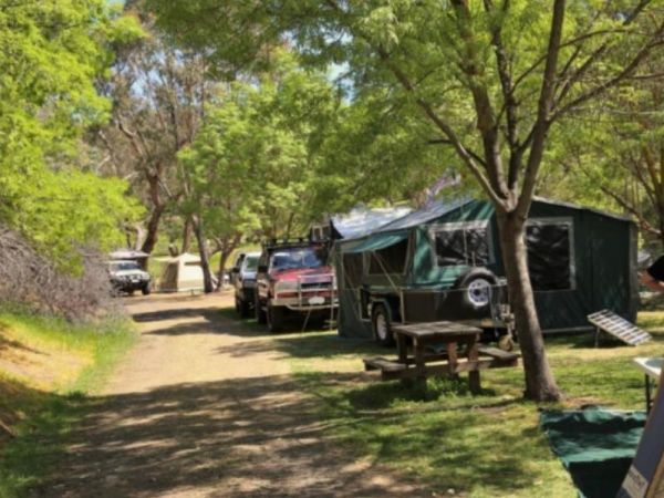
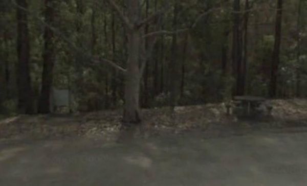
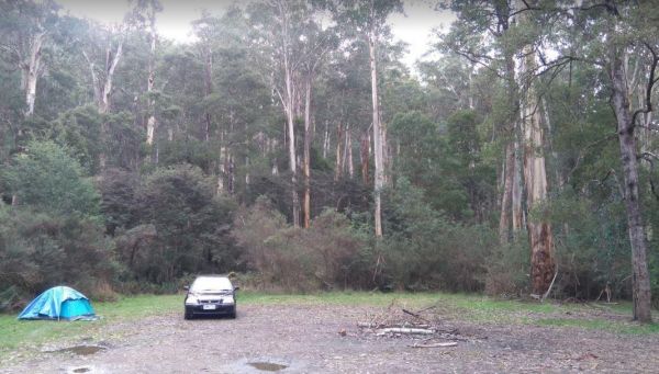
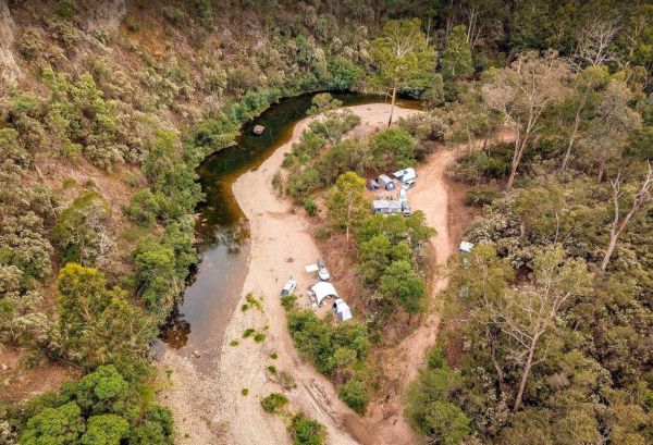
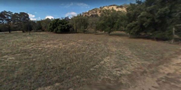
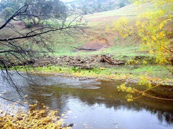
The 25 Mile Creek Camping Ground is a another rough campsite. The big River is a bit hard to access from this site, it's a steep walk down to the river, but dinner is waiting to be caught if your a fisherman. 25 Mile Creek Camping Ground
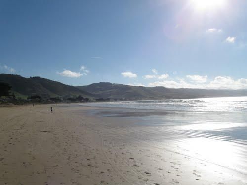
90 Mile Beach, Golden Beach, Seaspray, Paradise Beach C...
The 90 Mile Beach - Golden Beach, Seaspray, Paradise Beach Camping Area Free camping areas located between Golden Beach and Seaspray in the Gippsland Lakes Coastal Park, also camping at Paradise Beach. Toilets at every 2nd site. Hot showers available at G ...
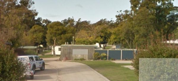
The A Maze'N Things Holiday Park has a lot to offer for the littlies, with a theme park walking distance to where you camp, the caravan park is not too far from island attractions it's a short drive to everything, including beaches and town. Entrance to ...
 ,
,  ,
,  ,
,  ,
,  ,
,  ,
,  ,
,  ,
,  ,
,  ,
, 
A'wangralea Caravan Park
The A'wangralea Caravan Park is located in central Mallacoota although it is a older small park it does have clean amenities and is dog friendly. Entrance to the A'wangralea Caravan Park A'wangralea Caravan Park location map
, , , , ,
The Acacia Caravan Park is located on the outskirts of Ararat it's a Small friendly caravan park. Amenities are spotless. Quiet and dog friendly.
, , , , ,  , , , ,
  ,
,  ,
, 
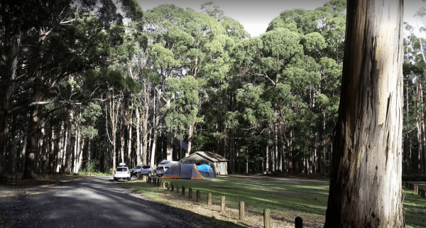
Ada River Camping Area
The Ada River Campground is a set among tall gum trees with plenty of room for your caravan to spend a pleasant day or two. You have drop toilets onsite, you will also find fireplaces with picnic tables are scattered everywhere, so you don't have to worry ...
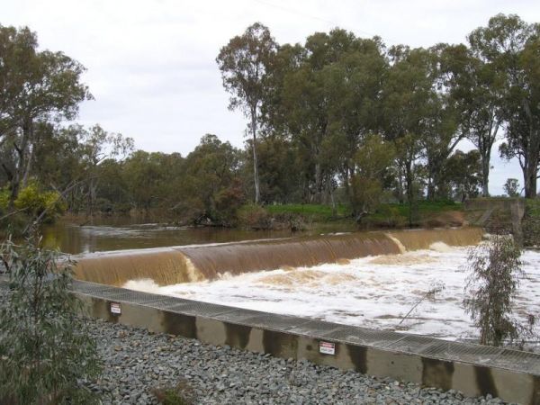
The Agnes River Rest Area is a short walk from the Agnes River which has steep banks, so access is a bit difficult to get to the water. But you can have a BBQ and enjoy the scenery, while resting. Entrance to the Agnes River Rest Area Agnes River Rest ...
,  ,
,  , ,
, ,
The AH Youngs Camping Area has large grassy areas to park your caravan or pitch a tent and the clear waters of the Buckland river are within easy walking distance from your campsite. AH Youngs Camping Area location map
Aireys Inlet Holiday Park
The Aireys Inlet Holiday Park is very busy during holiday season, so make sure you call first, to see if there any sites available for your intended stay. Entrance to the Aireys Inlet Holiday Park Aireys Inlet Holiday Park location map
, , , , ,  , , ,
, , ,  ,
,  ,
,
Entry from Cardinia Street (Gate 5) Please book ahead Entrance to Akoonah Park Camping & Caravan Park
, , , , , ,
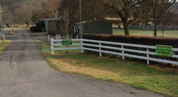
A Market is Held on the 2nd Saturday of Every Month Entrance to Alexandra Showgrounds Caravan Park
, , , , , , , 
The Alexandra Tourist Park is located on the edge of the Alexandra. Pets are allowed here. Entrance to the Alexandra Tourist Park Alexandra Tourist Park location map
, , , , , , , ,
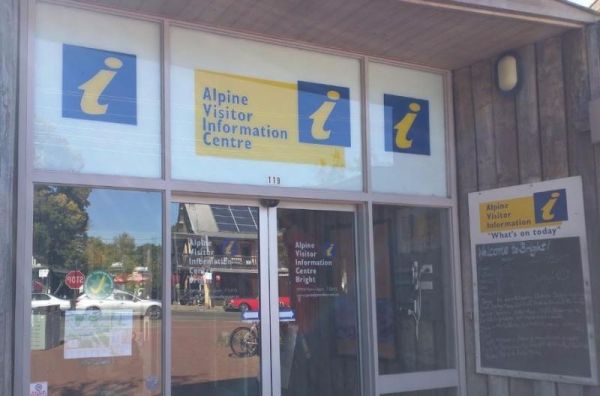
The Alpine Visitor Information Centre is located n the township of Bright and open seven days a week (excluding Christmas day). Entrance to the Alpine Visitor Information Centre Alpine Visitor Information Centre location map
, , ,  , ,
, ,
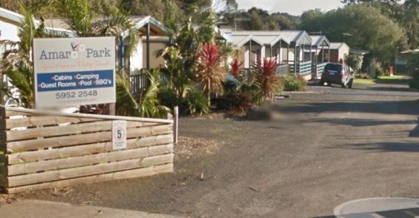
The Amaroo Park located in central Cowes on Phillip Island, is within easy walking distance to Coles and Woolworths, so stocking your larder should be easy. Entrance to the Amaroo Park Amaroo Park location map
, , , , , , ,
Andersons Camping Area
The Andersons Camping Area is located on the banks of the Goulburn River, bring everything you need if you intend to spend a day or two here, and take your rubbish with you when you leave. Entrance to the Andersons Camping Area Andersons Camping Area ...
Andersons Garden Camping Area
The Andersons Garden Camping Area Is now bollarded off so you won't be able to get a camper trailer in to any of the camp spots. So its Tents only and not a lot of car spaces at this popular location. Located in the Mount Disappointment State Forest with ...
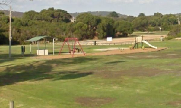
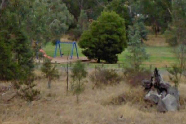
The Anglesea Lions Park Reserve Rest Area has a BBQ with a handy Playground for the kids plus Toilets, and its within easy walking distance to the Anglesea River to catch a meal or watch the boats go by. Entrance to the Anglesea Lions Park Reserve Rest A ...
, , , , ,
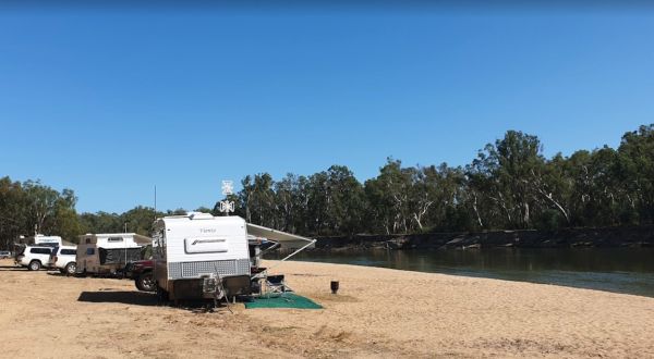
The Apex Beach Camping Area is on the banks of the mighty Murray River Victoria side, and opposite the NSW town of Tocumwal. Entrance to the Apex Beach Camping Area Apex Beach Camping Area location map
The Apex Club Caravan Park is a good place to base yourself for exploring many attractions like Phillip Island, Venus Bay etc, all are only a short drive away. Entrance to the Apex Club Caravan Park - Leongatha Apex Club Caravan Park - Leongatha locat ...
, , , , ,
Apollo Bay Recreation Reserve
The Apollo Bay Recreation Reserve is a nice place for people wanting to camp with dogs, there is a beautiful river and access to the beach nearby. Entrance to the Apollo Bay Recreation Reserve Apollo Bay Recreation Reserve location map
, , , , , , ,
Apollo Bay Rest Area
The Apollo Bay Rest Area is a large parking area opposite a Caltex petrol station, so you can pop over the road and grab a cold drink and a few snack foods while you stop here. Entrance to the Apollo Bay Rest Area Apollo Bay Rest Area location map
, ,
Ascot Holiday Park BIG4
The Ascot Holiday Park BIG4 Entrance to the Ascot Holiday Park BIG4 Ascot Holiday Park BIG4 location map
, , , , , , ,  , , ,
, , ,  , , ,
, , ,  , ,
, , 
The Atkinson Park Rest Area is a well established rest area, you will find a toilet block, undercover BBQs and picnic tables overlooking a small lake. There is plenty of room to park and a few handy rubbish bins as well. Entrance to the Atkinson Park Res ...
, , ,
The Avoca Lions Park Free Camping Area, is on the banks of the Avoca River in the heart of the Avoca township. You will find a playground an electric barbecue and a large gazebo with two picnic tables, and a water tap on the side of the gazebo.. On top of ...
Avondel Caravan Park
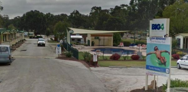
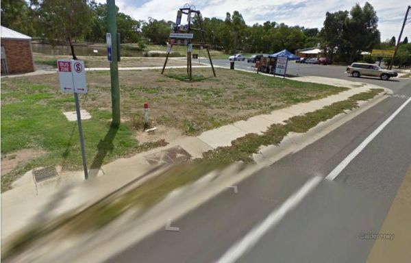
The Avondel Caravan Park is opposite the Calder Highway on the outskirts of Bendigo. An IGA and cafe are also within easy walking distance of this Caravan Park. Entrance to the Avondel Caravan Park Avondel Caravan Park location map
, , , , , , ,
The Aysons Reserve has large grassy areas and is a free campground with flushing toilets located on the Campaspe River, kayaking, fishing or just a swim in the river are all available here. Aysons Reserve location map
, , , ,
The Balmattum Rest Area is a large asphaled area with plenty of room for semis and the biggest camping rigs. Here you will also find undercover picnic tables and a few rubbish bins, plus a toilet block. Entrance to the Balmattum Rest Area (Northbound) ...
, , , ,
The Barmah Lakes Camping Area on the banks of the Murray River. Several drop toilets onsite. A good place for your canoe and kayak to set off and explore Barmah Lake. Make sure you bring mosquito repellant with you, as they can be a bit of a nuisance at t ...
The Barnadown River Reserve on the banks of the Campaspe River, this is a nice spot for a break from driving and a place you might catch a fish for dinner. Entrance to the Barnadown River Reserve Barnadown River Reserve location map
, , ,
The Barwidgee Rest Area is a large grassy area set on the banks of the Barwidgee Creek. You can try your hand at fishing here or take your camera and explore a few of the rock pools along the creek. Entrance to the Barwidgee Rest Area Barwidgee Rest A ...
, ,
The Bass Valley Reserve Rest Area. This is a nice spot with quite a bit of room to park your caravan. There is an onsite toilet, and a few picnic tables set among the gum trees. THE LOCAL COUNCIL HAS PERMANENTLY CLOSED THIS REST AREA Entrance to the ...
, , ,
Bears Lagoon Fruit Fly Rest Area
The Bears Lagoon Fruit Fly Rest Area has a few picnic tables and rubbish bins and plenty of space to park. For those you like fishing, you are parked next to Bears Lagoon, so you might be able to wet a line while you rest here for a bit. Entrance to the ...
, ,
Beau Morton Park Rest Area
The Beau Morton Park Rest Area is adjacent Racecourse lake and there are a few trees for shade. Here there is enough room to pull over with your caravan and take a break from driving. Entrance to the Beau Morton Park Rest Area Beau Morton Park Rest Ar ...
, , , ,
Beazleys Bridge Rest Area
The Beazleys Bridge Rest Area is just off the Ararat-St Arnaud Road, opposite the Beazly Public Hall, it's a nice shady spot to take a break from driving and grab a bite to eat. Here you will find a picnic table, some shade, and not much else. Entrance t ...
Beechworth Holiday Park
The Beechworth Holiday Park is just a 2km easy walk along a bush track to town, and a 3km gentle walk to a lake for those who like beautiful scenery.Beechworth itself is a well preserved gold town Entrance to the Beechworth Holiday Park Beechworth Hol ...
, , , , , , ,  , , , ,
Beechworth Lake Sambell Caravan Park
Entrance to the Beechworth Lake Sambell Caravan Park Beechworth Lake Sambell Caravan Park location map
, , , , , , , , , , , ,
The Beggs Bend State Forest Camping Area is a barebones camp, you will need to bring everything with you, and take away your rubbish. This campsite is located on the banks of the Murray River. There are signs letting you know not to leave the existing tra ...
Bellbird Creek Rest Area
The Bellbird Creek Rest Area is next to the Bellbird Hotel, so you can pop in for a counter lunch, and cold beverage while your taking a short break from driving. Entrance to the Bellbird Creek Rest Area Bellbird Creek Rest Area location map
,
Bemm River Caravan Park
The Bemm River Caravan Park is a nice spot to have a base camp if you like fishing or simply relaxing, They have installed new amenities block, so everything is spotless, and you can bring your pet along with you when you camp here. You are also within wa ...
The Benalla North Truck Parking Rest Area Northbound is a large area suitable for all sized rigs. There are toilets onsite and undercover picnic tables, also a few rubbish bins here and there. Entrance to the Benalla North Truck Parking Rest Area (Northb ...
, , ,
Self-contained RVs only - No Tents. No power/water/showers. All vans must be self-contained and leave no waste. Entrance to Benalla Showgrounds Caravan Park
, ,
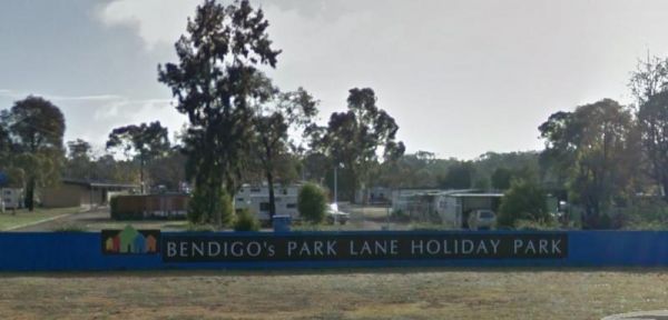
Bendigo Park Lane Holiday Park is reasonably level for camping and has lots of activities for the kids. They have an indoor play centre which is fantastic for the kids, and there is even a movie night for them. Entrance to the Bendigo Park Lane Holiday P ...
, , , , , , , , , , , , , ,
The Bentley Plain Camping Area is a small camping area complete with a toilet, and trees for shade, its not far to the Moscow Villa Hut as a guide to find this campsite. Entrance to the Bentley Plain Camping Area Bentley Plain Camping Area location ma ...
,
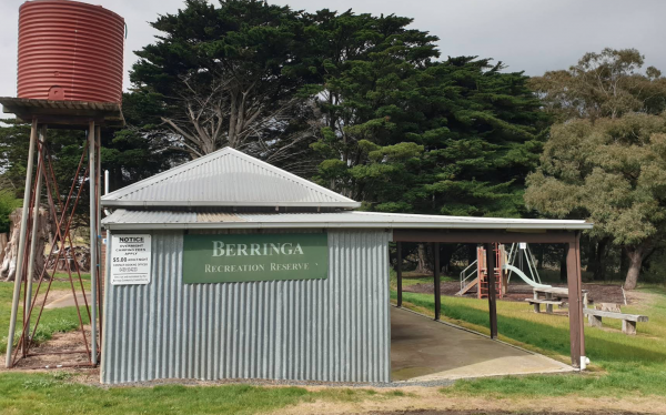
Entrance to Berringa Recreation Reserve
, , ,
Berriwillock North Rest Area
The Berriwillock North Rest Area is basically wedged on the edge of the Calder and a train line, this is definitely a stop if your tired spot for sure. Nothing to do but watch the traffic go by while your resting up. Entrance to the Berriwillock North Re ...
,
Berriwillock Tynan Park Rest Area
The Berriwillock Tynan Park Rest Area is next to a large grain store located next a railway track.This is a very large gravel area, and its worth a stop to take a photo of the grainery, and a visit to the local pub. Plus there is a public toilet next to t ...
, ,
Best Friend Holiday Retreat
Best Friend Holiday Retreat is closed between May, to mid-September, each year. A campsite that is truly dog friendly Entrance to the Best Friend Holiday Retreat Best Friend Holiday Retreat location map
, , , , ,
The local general store and Bethanga Pub is open from Wednesday to Sunday for counter lunch/tea. There is also an onsite Pizza Oven for campers use. Leave money in the honesty box at the gate
, , , ,
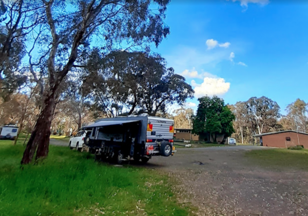
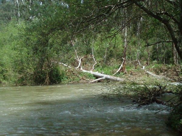
The Big River Camping Area has a drop toilet, with plenty of places to set up a campsite close to the river, there a are a few spots for swimming also. This is a fairly basic fee campsite with beautiful surroundings. Big River Camping Area location map
The Big Toms Beach Camping Area has plenty of room for quite a few caravans, and located next to a large sandy beach which is good for swimming. Big Toms Beach Camping Area location map
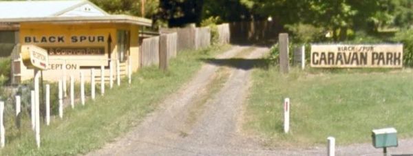
Black Spur Motel & Caravan Park
The Black Spur Motel & Caravan Park is a quiet spot in an old growth forest, its a nice place to bring your dog for a day to relax. Entrance to the Black Spur Motel & Caravan Park Black Spur Motel & Caravan Park location map
, , , , , ,
Blackbird Hut (Kelly's Hut) Campground
The Pickerings Flat Camping Area is a large grassy area with plenty of camp sites. There is a historic cattleman's hut onsite, and it's being used by Parks Victoria, as a base to maintain other huts in the area. Also you can find A few Old Mines in the ar ...
The Blind Joe Creek Rest Area is a No Camping area. There is a toilet onsite and a few rubbish bins, also there is plenty of room to maneuver your caravan or motorhome. For those who like to fish small creeks, don't waste your time here, the creek often r ...
, , ,
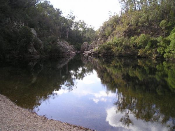
Blue Pools Camping Area
Blue Pools Camping Area is on the banks of the Freestone Creek. There are good swimming pools if you go for a walk along the tracks. Blue Pools Camping Area location map
Blue Range Creek Camping Area
Blue Range Creek Camping Area is a relatively quiet spot to camp and is 20 min from Mansfield.Its set amongst tall gum trees that offer shade in summer. I wouldn't rely on the creek for water, so make sure you bring drinking water with you. Blue Range Cr ...
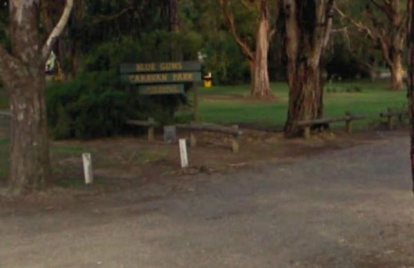
The Bluegums Riverside Holiday Park has had quite a few improvements, such as the the bouncing pillow area for the kids has been revamped. You need to bring your own drinking water or be prepared to boil water from the tap, its directly supplied from the ...
,  , ,
, ,  , , , , , , , ,
The Boort Lakes Caravan Park has waterfront powered and unpowered sites available. You are also within walking distance to the local shops and restaurants, plus plenty of onsite activities for the kids. Entrance to the Boort Lakes Holiday Park Boort L ...
, , ,  , ,
, ,  , , , , , , , , , , ,
Entrance to Boort Showgrounds
, , , ,
The Borderland Caravan Park BIG4 its Pool has a sun shade sail which is a nice addition. This caravan park is directly on the Hume Highway so you might hear a bit of noise at night if your in a tent. Entrance to the Borderland Caravan Park BIG4 Border ...
, , , , , , , , , , , , , ,  , , , ,
Boundary Bend East Park Rest Area
Boundary Bend East Park Rest Area has a toilet and is on the banks of the Murray River. Along with picnic tables and BBQ's it's not a bad spot to pull over and take a break from driving. Entrance to the Boundary Bend East Park Rest Area Boundary Bend ...
, , ,
Branxholme Rest Area
The Branxholme Rest Area is an ideal rest area, with excellent shady areas on the highway. The shady parking bay on the highway has been developed as a commemorative area for soldiers lost during Work War One. Byaduk is home to the magnificent Byaduk cave ...
, , ,

The Brentnalls Beach Camping Area is behind a large sandy beach on the Murray River, and opposite the NSW Township of Murray Riverside Village. It's a nice place to try catching a fish or two, and a nice easy place to launch your kayak to go exploring fro ...
Bridgewater on Loddon Rest Area
The Bridgewater on Loddon Rest Area has a public toilet, and plenty of room to park your camping rigs. Entrance to the Bridgewater on Loddon Rest Area Bridgewater on Loddon Rest Area location map
, , ,
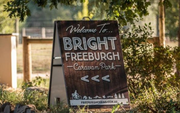
Entrance to the Bright Freeburgh Caravan Park Bright Freeburgh Caravan Park location map
, , , , , , , , , ,  , ,
, ,
Brightlight Saddle Rest Area
The Brightlight Saddle Rest Area is just off the Princes Highway and has plenty of shade. There are two picnic tables and a rubbish bin so you and take a break from driving and have a picnic and watch the traffic go by. Entrance to the Brightlight Saddle ...
Entrance to Broadford Bowls Club
,
The Brodies Corner Camping Area is a great spot on the bank of Rocklands Reservoir. It is a large secluded camping ground, with easy access for cars. There are plenty of fishing spots and a boat ramp plus Toilets make this a pleasant spot to camp. Brodie ...
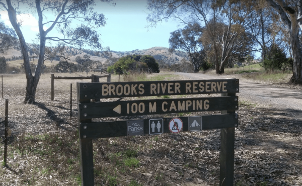
The Brooks River Reserve Camping Area is a lovely spot with a Long drop toilet and easy access to the Goulburn River for those interested in water activities. Brooks River Reserve Camping Area location map
The Bruces Bend Camping Area is located on the banks of the Murray River, and is accessible by 2 wheel cars in dry weather. Here you will find Non-flush toilets and picnic tables and a boat ramp. Bruces Bend Camping Area location map
The Buckland River Camping Area has a few camping areas along the Buckland River. Remember to Boil the River water for tea or coffee. There are also plenty of fishing spots to choose from, and for kayakers a bit of fun available also. Buckland River Camp ...
The Bundalong Rest Area is just off the Murray Valley Highway, there is plenty of shade to park under, and at least two picnic tables and one rubbish bin. You can sit in the shade at a picnic table and watch the traffic go by while having a picnic at the ...
,
The Bung Bong Rest Area has an Old Anglican church onsite, and its carpark is now the rest area. Stretch your legs and can take a walk around the decommissioned church which has a date inscription above the door showing 1876. Entrance to the Bung Bong Re ...
,
Site is seasonal due to weather conditions, open till end of May. Must book in advance before arriving. Entrance to Bunyip Recreation Reserve
, , , , ,
Bunyip River Rest Area
The Bunyip River Rest Area Set back a short distance from the Princes Freeway, There is a BBQ and a few picnic tables you can also let the kids and dog run without fear of them getting run over. You can also go for a walk in the Bunyip G13 Streamside Rese ...
, , , , ,
The Burnt Bridge Camping Area can be reached with a conventional two wheel drive. car, and once there, you will have easy access to the river. These camping grounds only one drop toilet located in the centre of the site and best suited to vehicle based ca ...
Burnt Creek Rest Area
The Burnt Creek Rest Area is set a short distance away from the Western Highway. There are picnic tables available and plenty of shady spots to park. It's safe to let the kids and your pet dog stretch their legs here. Entrance to the Burnt Creek Rest Are ...
,
The Buttercup Creek Camping Area has 5 separate Campgrounds in total. The camping areas available range fro 2 to 20 separate camps at each location. You will be able use you 4x4 around your base camp, or enjoy some bush walking along the numerous tracks f ...
Calder Inbound Rest Area Southbound Only
The Calder Inbound Rest Area Southbound Only is a convenient stop for a short break on a long drive heading into Melbourne. Here you can fuel up your vehicle and get some food for yourself. Entrance to the Calder Inbound Rest Area Southbound Only Cald ...
, ,
Calder Outbound Rest Area Northbound Only
The Calder Outbound Rest Area Northbound Only, the fuel prices seem to be always higher than other fuel stops on your way to Bendigo. Showers also on site and public restrooms. Entrance to the Calder Outbound Rest Area Northbound Only Calder Outbound ...
, ,
The Calder Woodburn Memorial Rest Area is accessed from Dawson Road, and the turn off is easily missed, but if you do get the turnright, you will find a couple of picnic tables only metres away from the Goulburn Valley Highway, seperated with a wire prote ...
,
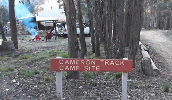
Cameron Track Camping Area
The Cameron Track Camping Area is fairly remote, so its best to bring everything you need, and be prepared to take your rubbish with you when you leave. Cameron Track Camping Area location map
, ,
Camerons Arm Camping Area
The Cameron's Arm Camping Area, has a few picnic tables, some open fire places, and is a bush camping spot where you bring everything you need. Here you can catch a fish dinner here and please take away your rubbish when you leave. Cameron's Arm Camping ...
,
The Canadian Gully Bushland Reserve Rest Area is next to a small dam so you should be able Catch a yabbie or two for the tucker bag. Entrance to the Canadian Gully Bushland Reserve Rest Area Canadian Gully Bushland Reserve Rest Area location map
, , ,
Cann River Rest Area
The Cann River Rest Area is a long slightly raised area running alongside the Princes Highway, Not much to do here, apart from take a power nap, and then be on your way again. Entrance to the Cann River Rest Area Cann River Rest Area location map
Cape Conran Coastal Park
The Cape Conran Coastal Park is closed Due to a fire within the Cape Conran Coastal Park, all areas of the park except the East Cape and West Cape day visitor areas are closed until further notice. Entrance to the Cape Conran Coastal Park Cape Conran ...
, , ,
Cape Paterson Foreshore Caravan Park
The Cape Paterson Foreshore Caravan Park has 100+ powered sites available in the Orana and Kywong camping areas. Entrance to the Cape Paterson Foreshore Caravan Park Cape Paterson Foreshore Caravan Park location map
, , , , , , , , ,
The Caringal Scout Camp - Tanjil Tyers State Forest and located approximately 9km from Erica and the creeks have a plentiful supply of fish. This camping area is Open to the public year round for camping and day access. Caringal Scout Camp - Tanjil Tyers ...
, ,
Carrum Downs Holiday Park
The Carrum Downs Holiday Park has Clean Amenities blocks and good kitchen. Some concrete slabs are tilted, so you will need to level your van. Local shops and Pub are approximately 3Km from campsite. Entrance to the Carrum Downs Holiday Park Carrum Do ...
, , , , , , , , ,
The Carters Mill Camping Area is next to Plain Creek, here you have a few picnic tables, some with water views, a pit toilet, and a few fire pits scattered around. A normal car can easily get here in summer. Camping spots are mostly on gentle slopes, and ...
The Casey Weir Rest Area is set well back from the Midland Highway and next to the Broken River. From this rest spot its only a short walk to the Weir itself, so take your dog and camera along to stretch your legs. Entrance to the Casey Weir Rest Area ...
, , ,
The Casterton Park Rest Area is on the banks of the Glenelg River, and only a short walk away from the Glenelg Inn, and the heart of town. Entrance to the Casterton Park Rest Area Casterton Park Rest Area location map
, , ,
Castlemaine Gardens Caravan Park
The Castlemaine Gardens Caravan Park is next to Lake Johanna. Although there is no onsite swimming pool, the local swimming pool is right next door. For caravans wanting to pull out there awnings, the sites are a bit squeezy. But you can't fault the camps ...
, , , , , , , , , , , , ,
The Cathcart Rest Area is a shaded spot to pull over and it's not far from Ararat. It's a good place to pull over then work out your next destination. Entrance to the Cathcart Rest Area Cathcart Rest Area location map
,
Chaffe Creek Camping Ground
Chaffe Creek Camping Ground has drop toilets onsite. This camping area is a bit more open than a few others close to this location. You can catch a fish dinner if you try hard enough. Chaffe Creek Camping Ground location map
The Charlton Gordon Park is close to the Avoca River and there is plenty of space available at reasonable prices. Unpowered sites are $15 per night per couple. There is a camping area here at $10 first night then free after that. To camp here your rig mus ...
The Cherrypool Park is next to the Glenelg River. with room to maneuver and places to park along this dirt road. You can try your hand at fishing or grab a camera and stretch your legs. If your in need of the toilets you have a around half a kilometer to ...
, , ,
The Cherrypool Park Rest Area is next to Cherrypool waterhole on the Glenelg River. There are toilets here and a wash basin and tap. Also plenty of room to maneuver with your caravan attached. This park has a few entrances and the picnic tables are locate ...
, , ,
The Chiltern Park Rest Area has separate truck parking bays, so please respect them by not causing problems for the truckies who use this site. Entrance to the Chiltern - Ironbark Rest Area Chiltern - Ironbark Rest Area location
, , ,

The Clarendon Rest Area iset a short distance back from the Midland Highway, with a few picnic tables and rubbish bins and plenty of trees to keep the sun off you. Its alright for a break from driving, and catch up on some rest. Entrance to the Clarendon ...
,
Club Terrace Rest Area
The Club Terrace Rest Area is on the side of the Princes Highway. This rest spot has a few picnic tables so you can take a break from driving and have a bite to eat while watching traffic go by. Entrance to the Club Terrace Rest Area Club Terrace Rest ...
The Clunes Caravan Park is walking distance to a beautiful historic township of Clunes. The caravan park doesn't have access to the creek running along its rear border, but it's easy walking distance to the supermarket, pub and other shops. Entrance to t ...
, , , , , , ,
The Coach Road Rest Area has separate parking bays for caravans and trucks, plus some undercover picnic tables & seating. This rest area is set back a short distance from the freeway. Entrance to the Coach Road Rest Area Coach Road Rest Area locat ...
, , ,
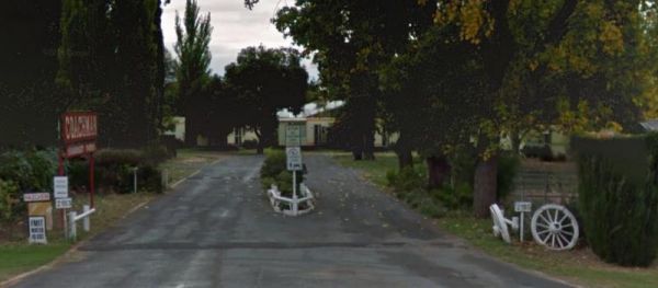
The Coachman Tourist Park is an older style park and is pet friendly. The IGA Supermarket is around the 800 meter mark from this caravan park so it's a 1.6km for return walk or use your car. Entrance to the Coachman Tourist Park Coachman Tourist Park ...
, , , , , , , , , ,
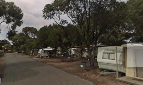
The Coalfields Caravan Park is on the outskirts of Wonthaggi and has a lot of long term residents. There are spaces provided for caravans and campers alike, so you can camp and explore the surrounding area. Entrance to the Coalfields Caravan Park Coal ...
, , , , , , , , ,
Cobbledicks Ford Reserve
The Cobbledicks Ford Reserve is close to the Werribee River, and is a historic site and river crossing which has bluestone pavers laid across it. Entrance to the Cobbledicks Ford Reserve Cobbledicks Ford Reserve location map
, , ,
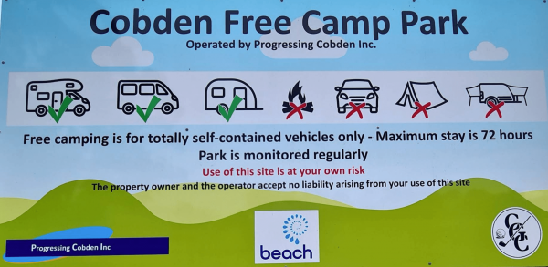
Entrance to Cobden Free Camp
,
The Cobram East Caravan Park has plenty of grass camping sites. From here you can go fishing, or have a day touring the local wineries. Entrance the the Cobram East Caravan Park Cobram East Caravan Park location map
, , , , , , , , , , ,
The Cobram Showground Free Dump Point is easy to access. Entrance to the Cobram Showground Free Dump Point Cobram Showground Free Dump Point location map
, ,
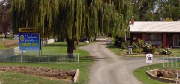
The Cobram Willows Caravan Park is close to the highway so there can be some noise from passing vehicles. Entrance to the Cobram Willows Caravan Park Cobram Willows Caravan Park location map
, , , , , , , , , , ,
The Cohuna Gateway to Gannawarra Visitor Centre backs onto the Gunbower Creek. Cohuna township is nicely set up for RV free camping in the town centre, its for fully self contained caravans and motorhomes only. There is a RV dump site opposite the caravan ...
, , ,
The Cohuna Waterfront Holiday Park is right on the bank of Gunbower Creek, here you can camp right next to the water. The park is also within walking distance to town center that has everything you need to make your campsite pleasant. Entrance to the Coh ...
, , , , , , , , , , , , , , , , ,
Entrance to Colac Central Showground Caravan Park
, , , , , , ,
Colac Colac Caravan Park
The Colac Colac Caravan Park a beautiful setting for camping with plenty of big shady trees with Corryong Creek running through it with safe waters for all ages to play in, there are also deeper holes for fishing plus good size camping sites. This is a ve ...
, , , , , , , , , ,
Camping in tents is allowed. Entrance to Corindhap Recreation Reserve
, , ,
Entrance to the Corryong Park Rest Area Corryong Park Rest Area location map
, ,
Your rig needs to be fully self contained to stay here. Entrance to Corryong Recreation Reserve Free RV Camping Area
,
The Creswick Calembeen Lake Caravan Park is a very well-shaded sites and Creswick itself is a leisurely stroll with lovely old buildings and a good market on the weekend. Entrance to the Creswick Calembeen Lake Caravan Park Creswick Calembeen Lake Car ...
, , , , , , , ,
Crystal Brook Holiday Centre
If you stay at Crystal Brook Holiday Centre you should be able to see kangaroos, emus and an occasional deer. The caravan sites are a bit on the small side and not all clearly marked. This park can get very busy during public holidays. Entrance to the Cr ...
, , , , , , , , , , , , ,
The Culgoa South Rest Area is just off the Calder Highway, with BBQs and picnic tables, and some shade to make your break from driving a bit more bearable. There are also some rubbish bins onsite. Entrance to the Culgoa South Rest Area Culgoa South Re ...
, , ,
Cullulleraine Rest Area
The Cullulleraine Rest Area is just off the Sturt Highway and there's not much to do here, but sit down at the picnic tables and watch the traffic go by. There are also couple of rubbish bins are also provided. Entrance to the Cullulleraine Rest Area ...
A place to pull over when your'e tired is the Dadswells Bridge South Rest Area.Here there is a bit of shade a few picnic tables plus a few rubbish bins. This rest area is on the Western Highway and nothing much to see here. Entrance to the Dadswells Brid ...
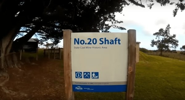
The Dalyston No 20 Shaft Historical site is the site of Australia's works underground coal mining disaster. the events that occured here changed all underground mining in Australia forever, with improved safety conditions, and making them mandatory across ...
,
Dando's Camping Area
The Dando's Camping Area is a good spacious free camping ground, with over 100 campsites to choose from, and plenty of flat ground for tents and campers. There are drop toilets available. This campsite is near the Gellibrand River and set amongst tall tre ...
Dargo – Two Mile Creek camping ground
The Two Mile Creek camping ground is not far from Italian Flat Campground, and near the junction of Dargo River and Two Mile Creek. Dargo – Two Mile Creek camping ground location map
The Dartmoor Turnoff Rest Area has a picnic table and fireplace. This rest area covers quite a large area so parking won't be a problem. There are pine forest plantations almost in every direction you look, so this is a little Gum Tree oasis. Entrance to ...
,
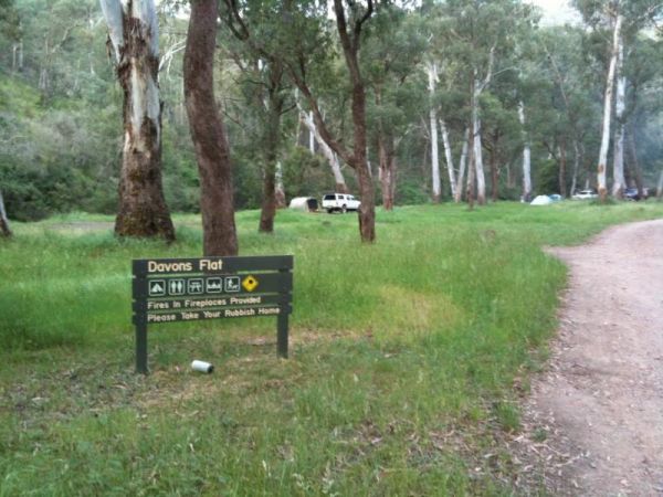
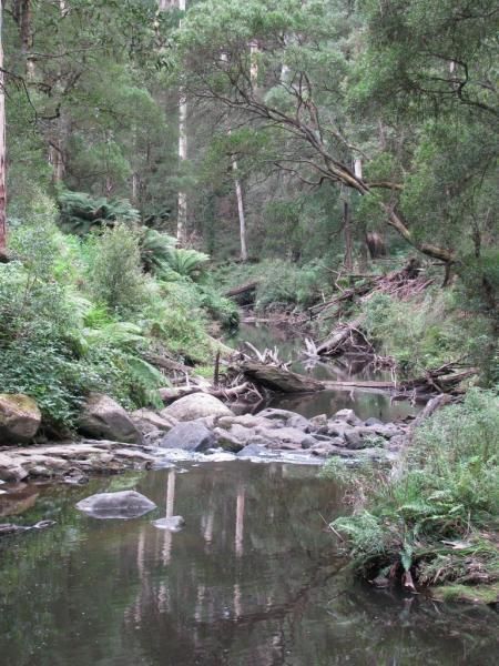
Davons Flat Camping Area
The Davons Flat Camping Area on the banks of the Howqua River and has large open area with lots of shade to camp for a day or two. This area was used for gold mining, so if you're lucky you might come across some of the Old Timers diggings. Davons Flat C ...
The Dead River Beach Camping Area is on the Banks of the Murray River, it is a barebones camp so you will need to bring everything you need with you, and take your rubbish with you when you leave. Dead River Beach Camping Area loation map
The Dederang North Rest Area is on a raised embankment adjoining the Kiewa Valley Highway. Pull over here and take a break from driving. Entrance to the Dedarang North Rest Area Dedarang North Rest Area location map
Deep Lake Recreation Reserve
Entrance to Deep Lake Recreation Reserve
, , , , , ,
The Delegate River Camping Area is as the name suggests, is next to the Delegate River, so don't forget your fishing gear and camera when camping here. Delegate River Camping Area location map
Derrinallum Recreation Reserve Rest Area
The Derrinallum Recreation Reserve Rest Area is a free camp for 24 Hours only. There are a few trees for shade, rubbish bins, a toilet block, and playground onsite. This is also a dog friendly stopover. Be sure to spend some money in town to help fund the ...
, , , ,
Dicks Bend Camping Area
The Dicks Bend Camping Area is on the banks of the Murray River and a good spot to base a fishing expedition from. There are plenty of trees about for shade and room to let the dog have a run at this campsite. Dicks Bend Camping Area location map
You must be fully self contained to camp here. The Wimmera River is within easy walking distance. There are plenty of drive through sites, and its an easy walk to pub and main street. Entrance to Dimboola Recreation Reserve
, , , ,
Entrance to the Dimboola Riverside Caravan Park Dimboola Riverside Caravan Park location map
, , , , , , , ,
The Ditchfield Camping Area is spread over a decent area, so plenty of tent sites available, and there is a hut onsite with a fireplace with a long table and seating. Ditchfield Camping Area location map
, , ,
Dobie Highway Park is Set a fair way back from Dobie Road with the Hopkins River (sometimes it even has water in it) not far from this spot. it's worth a stretch of the legs and camera in your hands to check out if there is any water in the river. Entran ...
,
The Dodds Bridge Rest Area is set amongst tall gumtrees. The Holland Creek runs in winter only, so fishing is really not an option here. Entrance to the Dodds Bridge Rest Area Dodds Bridge Rest Area location map
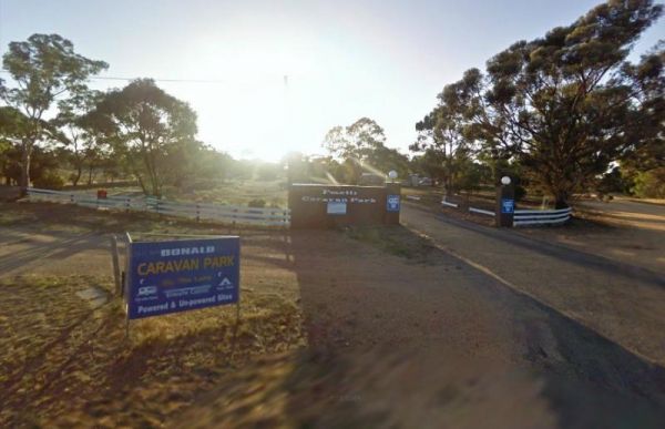
The Donald Lakeside Caravan Park is a beautiful lakeside area with large sites and very clean amenities. There is an honesty box, and the caretaker drops in daily to collect for powered sites. Entrance to the Donald Lakeside Caravan Park Donald Lakesi ...
, , , , , , , ,
Doolans Bend Camping Area
The Doolans Bend Camping Area is a rough bush camp set amongst Gum trees and on the banks of the Murray River. There is access for boats via a dirt boat ramp, and plenty of room to find n ideal camp spot. Doolans Bend Camping Area location map
Doon Reserve Caravan Park
The Doon Reserve Caravan Park is an Older style caravan park and has a nice playground for the kids, clean amenities and is on the banks of the Yarra River. So remember to take something to float down the river on an inflatable craft. Entrance to the Don ...
, , , , , , , , ,
Eagle Point Caravan Park
Entrance to the Eagle Point Caravan Park Eagle Point Caravan Park location map
, , , , , , , , ,
Echo Beach Tourist Park
Entrance to the Echo Beach Tourist Park Echo Beach Tourist Park location map
, , , ,  , , , , , , , ,
Entrance to the Edenhope Lakeside Tourist Park Edenhope Lakeside Tourist Park location map
, , , , , , , , , , , ,
Edi Cutting Camping Area has large grassy campsites suitable for tents and caravans. There are drop toilets and the the King River runs alongside your camping area, the river is mostly shallow but is fast moving so keep an eye out for the little ones if t ...
Ellis Bridge Rest Area
Ellis Bridge Rest Area is on the banks of the Mitta Mitta River and has a 24 Hour Limit for those staying overnight here, There is a picnic table here for your convenience. Entrance to the Ellis Bridge Rest Area - 24 Hour Limit Ellis Bridge Rest Area ...
, ,
Entrance to Elmhurst Recreation Reserve
, , , , ,
The Elmore Highway Park Rest Area is a nice spot to stop. It's set well back from the Northern Highway with lots of space. There are no facilities but it's close to the Campaspe River for fishing and photography enthusiasts. Entrance to the Elmore Highwa ...
, , ,
Elphinstone North Rest Area runs along the Harmony Way, it has picnic tables and fire places. So it's a place to pull over and have picnic and cook a few things on the fireplace. Entrance to the Elphinstone North Rest Area Elphinstone North Rest Area ...
, ,
The English's Bridge Camping Area is on the banks of the Campaspe River, and there are plenty of fish to be caught. Note: this campground has no toilets, so it's best to be fully self contained, if you plane to camp here for a few days. Please take your r ...
The Ensay South Rest Area is a small area next to the Great Alpine way, and on the banks of the Tambo River. Make sure you've got your fishing gear, you never know your luck. Entrance to the Ensay South Rest Area Ensay South Rest Area location map ...
, , ,
Entrance to the Erica Caravan Park Erica Caravan Park location map
, , , , , ,
Everard Park Streamside Reserve
The Everard Park Streamside Reserve next to Yarra River has a 600m loop walk, from the car park along the river bank. There are 2 swimming spots, and one is quite shallow and has hardly any current at all. Entrance to the Everard Park Streamside Reserve ...
, ,
FigTree Holiday Village
Entrance to the FigTree Holiday Village FigTree Holiday Village location map
, , , , , , , , , , , ,
The Finley Beach Camping Area is set on the Murray River, fishing, swimming or just relaxing. It's a good spot for self contained caravans and campers. Entrance to the Finley Beach Camping Area Finley Beach Camping Area lcation map
Firth Park Camping Area
The Firth Park Camping Area has 4 long drop toilets and fire places with swivel BBQ plates, and plenty of shady spots for you to pitch a tent or bring your campervan. Firth Park Camping Area location map
, , ,
The Fishbone Flat Camping Area is next to the Arnold Creek and you can bring your dog with you. You will also need to bring everything with you, and take your rubbish with you when you leave, as this is a basic bush camp. Fishbone Flat Camping Area locat ...
Fitzroy River Streamside Reserve Rest Area
The Fitzroy River Streamside Reserve Rest Area has a few spots to choose from along the Fitzroy River waterfront. Here you'll find a few fireplaces and a few picnic tables. Entrance to the Fitzroy River Streamside Reserve Rest Area Fitzroy River Strea ...
, ,
Floating Islands Lagoon Nature Reserve Rest Area
The Floating Islands Lagoon Nature Reserve Rest Area is a truck stop, so make sure you give them plenty of room to pull in. Entrance to the Floating Islands Lagoon Nature Reserve Rest Area Floating Islands Lagoon Nature Reserve Rest Area location map ...
The Flynn Rest Area heading west, its roughly halfway between Rosedale and Traralgon East. This rest stop has a fair amount of room, so it can accomodate all rig sizes. Entrance to the Flynn Rest Area Flynn Rest Area location map
,
Foster North Scenic Lookout
The Foster North Scenic Lookout is a clean quiet little picnic spot, with good views on a clear day, of the promontory. There are undercover picnic tables and a few rubbish bins to make your break from driving rather pleasant. Entrance to the Foster Nort ...
, ,
The Franklin River Reserve has good clean toilets and located next to the Franklin River. There is an information pavillion onsite also. This site can be closed in wet weather, due to vehicles getting bogged. Entrance to the Franklin River Reserve Campgr ...
, , , , ,
Franklinford Streamside Reserve
The Franklinford Streamside Reserve is a small Nature preserve on the banks of the Jim Crow Creek, its a nice spot for a picnic, or trying your hand at catching a fish or two. If your visiting this place during the warmer months, the water level will be l ...
, , ,
The Frankston Visitor Centre has quite a few brochures available for Frankston, the Peninsula, and other regions of Victoria. It's worth a stop to check out what to see while in the area.NOTE: Parking is not free. Entrance to the Frankston Visitor Inform ...
, , , , ,
The Frenchmans Creek Camping Area is next to the Big River, and the campsites are better suited to vehicle based camping rather than caravans. I'd recommend a 4x4 incase it rains. Frenchmans Creek Camping Area location map
Freshwater Lake Rest Area
The Freshwater Lake Rest Area is set well back from the Victoria Valley Road, and in amongst some trees. There is plenty of room to manoeuvre your caravan to find a good park and a rest from driving. Entrance to the Freshwater Lake Rest Area Freshwate ...
,
Froam Campground
From the Froam Campground you can walk to Blue Pool on the Freestone Creek via the Freestone Creek Walking Track. Here you will find a nice swimming hole. Froam Campground location map
, ,
Gang Gang Gully Camping Area is on the bank of the Big River with a drop toilet and fire pits to make your stay enjoyable. You will need to take your rubbish with you when you leave. Gang Gang Gully Camping Area location map
Geelong Showgrounds Campground
Entrance to Geelong Showgrounds Campground
, , , , ,
The Genoa Rest Area is a nice peaceful spot to stop for a few days, there is a maximum of 72 Hours stopover. This campsite has toilets and cold showers, and is located next to the Genoa River. Please consider leaving a donation onsite to help maintain thi ...
, , , , , ,
A donation box located in showers/toilets block. Note: Grounds are NOT available on the full weekend of the 2nd Sunday of every month due to large onsite markets. Entrance to Girgarre Public Park
, , , , , , ,
The Gisborne North Bound Rest Area has plenty of room to park for all sized rigs. Toilets are onsite and a few rubbish bins and picnic tables make this a good spot to pull over and take a break from driving. Entrance to the Gisborne Northbound Rest Area ...
, , ,
When nature calls the Gisborne Southbound Rest Area is perhaps not for first port of call, but if you can't wait its a spot to pull over. Entrance to the Gisborne Southbound Rest Area Gisborne Southbound Rest Area location map
, , ,
Glasshouse Camping Area
The Glasshouse Camping Area is a nice free camp with plenty of room to pick a campsite for all. There are no amenities so it's nice to be self sufficient here. You will need to navigate 15km of unsealed road into the camp to arrive at this campground. Goo ...
,
The Glenelg River Rest Area is a large parking area next to the Glenelg River. There are some fixed BBQ's, you will need to bring your own firewood to use them, plus there are a few picnic tables so you can enjoy a break from driving. With the river close ...
The tap water source is a mineral spring, so using a water filter improves the taste.
, , , , ,
Glenpatrick Recreation Reserve
The Glenpatrick Recreation Reserve will be closed until further notice to allow for restoration of buildings and the removal of 3 trees and pruning of the remaining 100 year old commemorative pine trees. Entrance to the Glenpatrick Recreation Reserve ...
, , ,
Entrance to Goroke Accommodation Park
, , , , , ,
Goughs Bay Caravan Park
Goughs Bay Caravan Park location map
, , , , , , ,
Governors Bend Rest Area
The Governors Bend Rest Area is a bit tight for caravans and large motorhomes, and no facilities when you do park here. So as the name implies, it's a place to have a break from driving. Entrance to the Governors Bend Rest Area Governors Bend Rest Are ...
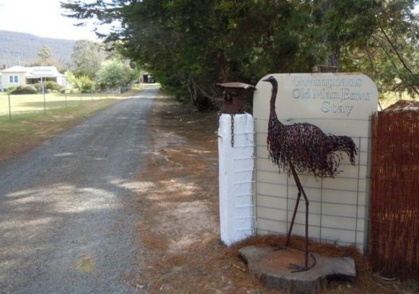
Entrance to the Grampians Old Man Emu Stay Grampians Old Man Emu Stay location map
Entrance to the Granite Creek Rest Area Granite Creek Rest Area location map
,
The Granny's Flat Camping Area has a drop toilet, and plenty of camping spots available close to the Jamison River. This camping spot gets very busy and noisy during holiday periods. Aerial view of Grannys Flat Camping Area Grannys Flat Camping Area l ...
The Granthams Bend Camping Area is on the banks of the Murray River with plenty of camping spots to choose from. You really should be self sufficient when camping here, and remember to take your rubbish with you. Entrance to the Granthams Bend Camping Ar ...
Grantville - Picnic BBQ Area
The Grantville - Picnic BBQ Area has a large area next to the jetty for parking any sized caravan. Flushing toilets are located here as well. If you want to fish at low tide from the jetty, you will need to rethink this, as low tide will reveal extensive ...
, , , , , ,
The Grass Trees Rest Area Northbound has plenty of parking for all sized rigs. Undercover bbqs and picnic tables with tank water, Public toilets, and rubbish bins. There is also a short looping walking track of approx 0.6km to show the local indigenous Gr ...
, , , ,
Gre Gre South Rest Area
The Gre Gre South Rest Area is located on the corner of the Wimmera Highway and McPherson Road. This rest stop is set amongst trees and has a few picnic tables and has a few rubbish bins. The Avon Creek is just behind this spot but hardly any water in it, ...
,
Great Western Racing & Recreation Reserve
There are two main areas to camp a night or two. Showers are coin operated. Entrance to Great Western Racing & Recreation Reserve
, , , , , ,
Great Western Rest Area
The Great Western Rest Area is on the corner of the Western Highway and Bests Road with the seasonal Concongella Creek behind it. This rest area has a reasonably large gravel parking area, with rubbish bins, and a few picnic tables set under the trees. E ...
,
Green Bank Camping Area
The Green Bank Camping Area is a rough bush camp next to the Murray River. To get there follow Cullens Road, then Loop Track to find a suitable camping spot. Green Bank Camping Area Green Bank Camping Area location map
The Green Hill Lake Camping Area is a delightful setting, with plenty of shade, and lots of unmarked camping spots. There is a dump point near the entrance to the camping grounds, public toilets, hot showers, undercover playground for the children plus an ...
, , , , , , , , ,
The Greenhill Lake Water Reserve Camp Area is very busy on long weekends and school holidays. There is a Boat Launching Ramp available, You can ride your bike around the lake or launch a Canoe, Swimming might be a problem depending on Algae Bloom. Note: C ...
, , , , ,
The Greens Camping Area is a basic bush camp. Clean and tidy and perfect get away and enjoy peace and quiet. Fossicking for Gold is on the list when you visit here, with lots of interesting relics to be seen and captured with your camera. Greens Camping ...
,
The Greens Lake Recreation Area has a Boat Launching Ramp BUT that means very little if there is a drought, as the lake is very shallow and dries up, Greens Lake Recreation Area location map
, , , , ,
Gumbuya Rest Area
The Gumbuya Rest Area is opposite Rankins Nursery, You could pop into Gumbuya Park while your in the Area, You will pass it on your way to the Gumbuya Rest Area Entrance to the Gumbuya Rest Area Gumbuya Rest Area location map
, ,
The Gunbower Park Rest Area has toilet facilities and is next to the Gunbower Creek.So why not take a stroll and check it out, or drop your kayak in for a better look.There is also a children's playground right next to the toilets to keep the kids amused. ...
, , , , ,
Entrance to Gunbower Recreational Reserve
, , ,
Guttram State Forest Camping Area
Guttram State Forest Camping Area has a few bush camping spots, but you will need to be self sufficient. The Murray River is close at hand with all water activities . The River track is a bit on the bumpy side, so drive carefully. Guttram State Forest Ca ...
Your campsite donation can be paid at the local store using the envelopes provided. There are low cost coin showers available. Entrance to Haddon Lions Park
, , , , , , , ,
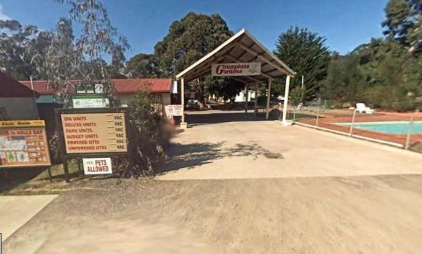
Entrance to the Halls Gap Gardens Caravan Park Halls Gap Gardens Caravan Park location map
, , , , , , , , , ,
Happy Jacks Recreation Reserve
The Happy Jacks Recreation Reserve has the Bullock Creek just behind the reserve if you want to check it out with your camera. Entrance to the Happy Jacks Recreation Reserve Happy Jacks Recreation Reserve location map
, , ,
Heathcote Queen Meadow Caravan Park is an older style park, and is nice and quite with good clean facilities. Heathcote Queen Meadow Caravan Park Entrance to the Heathcote Queen Meadow Caravan Park
, , , , , , ,
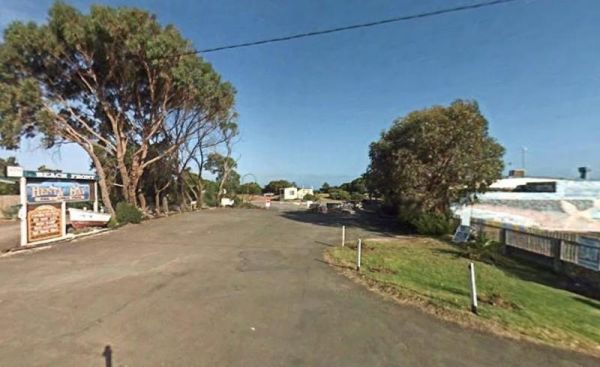
Entrance to the Henty Bay Beach Front Van & Cabin Park Henty Bay Beach Front Van & Cabin Park location map
, , , , , , , , , , , , ,
Heritage Park
Heritage Park is on the banks of the Yarra river so kayaking fishing etc is available here. I personally would not take a caravan down the access road as it gets a bit tight to turn around, if other vehicles are there. Heritage Park location map
, , ,
Coin operated Power is available to charge your eBike and mobile phone Entrance to Heyfield RV Park
, , ,
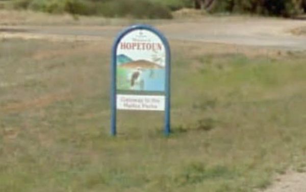
Hopetoun Rest Area
The Hopetoun Free Dump Point has now been installed into the rest area, its been set for the truckies that use this rest spot. Entrance to the Hopetoun - Free Dump Point Hopetoun - Free Dump Point location map
, , ,
Horseshoe Bend Camping Area is right on the Murray. Good for boating, skiing, and fishing or just plain relaxing. Plenty of spots along the Murray and not too far from the township of Merbein, where you can stock up on fuel and fill the cupboards. Horses ...
The Horsham - Free Dump Point is located in Firebrace Street just outside the Horsham Caravan Park and not far from the Wimmera River. Entrance to the Horsham - Free Dump Point Horsham - Free Dump Point location map
, ,
Entrance to the Horsham Riverside Caravan Park Horsham Riverside Caravan Park location map
, , , , , , , , , , ,
Call first for booking availability 0400 425 254 There two seperate camping areas Entrance to Horsham Showground
The Hospital Creek Rest Area is next to the Hospital Creek and just off the Princes Highway, It's a nice spot to take a break from driving and have a BBQ. Entrance to the Hospital Creek Rest Area Hospital Creek Rest Area location map
, ,
The Hotspur Bridge is in the banks of the Crawford River, it can get very muddy after rain, so be careful if you plan on stopping here. Entrance to the Hotspur Bridge Hotspur Bridge location map
, ,
Howitt Park
The Howitt Park is a great place to pull over, it has plenty of room for big vans etc clean toilets, fishing is good there is a boat ramp, also a large slippery yellow slide for the kids, a flying fox and a normal playground. Entrance to the Howitt Park ...
, , , ,
Entrance to the Howqua Valley Resort Howqua Valley Resort location map
, , , , , ,  , , , , , ,
The Hunts Bridge Camping Area is close to the Moorabool River West Branch. It's recommended to get there early as the best camping spots go fast. Entrance to the Hunts Bridge Camping Area Hunts Bridge Camping Area location map
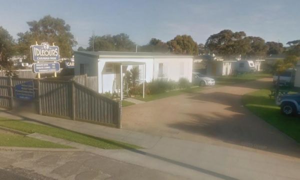
Idleours Caravan Park
Entrance to the Idleours Caravan Park Idleours Caravan Park location map
, , , , , , ,
Indi Bridge Reserve Camping Area
The Indi Bridge Reserve Camping Area has a sign at the gate that points out that a diesel pump can start and run at any time, so maybe give it a bit of distance to where you camp. Indi Bridge Reserve Camping Area location map
Indigo Creek Rest Area
The Indigo Creek Rest Area is set back amongst some tall gum trees, with a few picnic tables and a place rest a bit. Entrance to the Indigo Creek Rest Area Indigo Creek Rest Area location map
,
The Inglewood East Rest Area is located on the edge of the Calder Highway, with a couple of trees and a picnic table, so yo can sit and watch the traffic go by. Entrance to the Inglewood East Rest Area Inglewood East Rest Area location map
,
Italian Flat is a nice campsite located on the banks of the Upper Dargo River. You will find a couple of small shallow swimming holes on the river. There is a long drop toilet.onsite and this camp is only 10 min from Dargo. Italian Flat Campground locati ...
, , , , ,
The Jane Duff Highway Park Rest Area, off road camping is available near the billabong, or further back in scrub, with BBQs, Picnic tables, and a drop dunny onsite. There is an historical marker to Jane Duff, one of three Duff children who in 1864, was fo ...
, , , ,
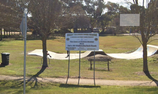
The JC Stretch Memorial Park Rest Area is located next the Woady Yaloak River and Overnight stays are permitted here. Entrance to the JC Stretch Memorial Park Rest Area JC Stretch Memorial Park Rest Area location map
, , , ,
Jessie Kennedy Reserve Rest Area
The Jessie Kennedy Reserve Rest Area is next to the Campbells Creek with a few picnic tables to have a bite to eat on. This is not the quietest of place to rest, as it is next to Midland Highway. Entrance to the Jessie Kennedy Reserve Rest Area Jessie ...
, , ,
The Jimmy Bullocks Camping Area has the Big River flows next to this camping spot and has some toilets onsite. You can also go Fishing, Yabbying and canoe/kayaking etc. Entrance to the Jimmy Bullocks Camping Area Jimmy Bullocks Camping Area location map ...
Jock Comini Memorial Rest Area
The Jock Comini Memorial Rest Area is currently undergoing a few changes and being modernized, there will be dedicated truck parking bays, and a seperate area for cars. Jock Comini Memorial Rest Area Entrance to the Jock Comini Memorial Rest Area J ...
Johanna Beach Camping Area is no longer a free camp, so you will need to book your stay from the Parks Vic website above. There are 25 unpowered campsites available.NOTE: No Fires permitted. Entrance to the Johanna Beach Camping Area Johanna Beach Cam ...
, ,
The Jones Camping Area is next to the Holland Creek so fishing for trout is a possibility, and there are plenty of photographs waiting to be taken here. Jones Camping Area location map
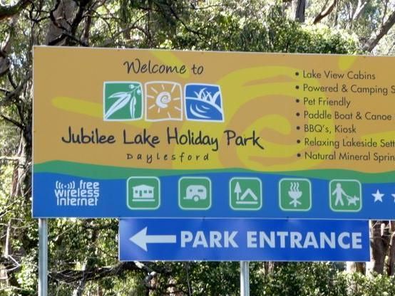
Jubilee Lake Caravan Park
Entrance to the Jubilee Lake Caravan Park Jubilee Lake Caravan Park location map
, , , , , , , , ,
Kangaroo Flat Park Area
Entrance to the Kangaroo Flat Park Area Kangaroo Flat Park Area location map
, , , , ,
Entrance to the Kaniva Poolside Caravan Park Kaniva Poolside Caravan Park location map
, , , , , ,
Katamatite Lions Memorial Park Rest Area
The Katamatite Lions Memorial Park Rest Area is a nice spot to pull over and have a BBQ spot, and its next to the Boosey Creek, its not a bad spot to take a break from driving. Entrance to the Katamatite Lions Memorial Park Rest Area Katamatite Lions ...
, ,
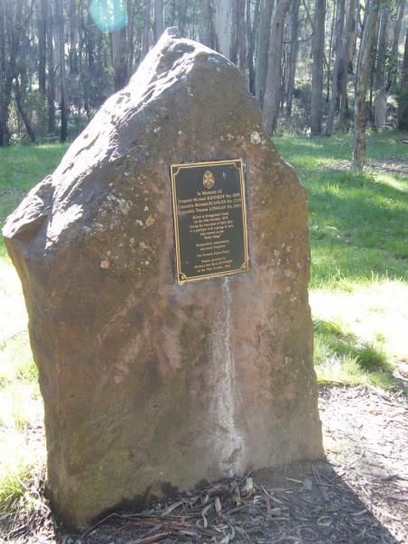
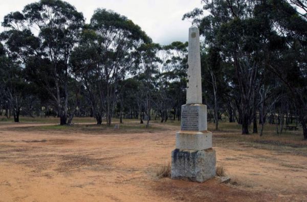
The Kelly Tree Stringybark Creek Camping Area is where Ned Kelly's gang murdered 3 Police officers. This camping area has been revamped in 2018 and there is historical information about the Kelly Gang. The names of the fallen officers is listed below. 1. ...
, , ,
Entrance to Kerang Turf Club
, , , ,
Entrance to the Kilmore Caravan Park Kilmore Caravan Park location map
, , , , , , ,
King Parrot Creek Rest Area
The King Parrot Creek Rest Area is a large gravel area set back from the Goulburn Valley Highway that can handle all sized rigs. You can try your hand at angling here or take a few photos. Entrance to the King Parrot Creek Rest Area King Parrot Creek ...
, ,
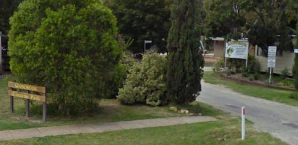
Entrance to the Koondrook Caravan Park Koondrook Caravan Park location map
, , , , , , , , ,
Koonwarra Family Holiday Park
Entrance to the Koonwarra Family Holiday Park Koonwarra Family Holiday Park location map
, , , , , , , , , , , ,
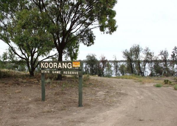
The Koorangie Game Reserve Water levels in the lake vary quite a bit, so don’t expect to be able to do water related activities in a dry year. Koorangie Game Reserve location map
The Kooreh Hall Rest Area is a gravel loop road just off the Wimmera Highway. The hall was built in 1923, as a tribute to the lost soldiers of the Boer, and First World Wars. Entrance to the Kooreh Hall Rest Area Kooreh Hall Rest Area location map
, , ,
The Koriella Rest Area jis ust off the Goulburn Valley Highway with plenty of shade, a place to it down, a rubbish bin and enjoy a picnic while watching the traffic go by. Entrance to the Koriella Rest Area Koriella Rest Area location map
,
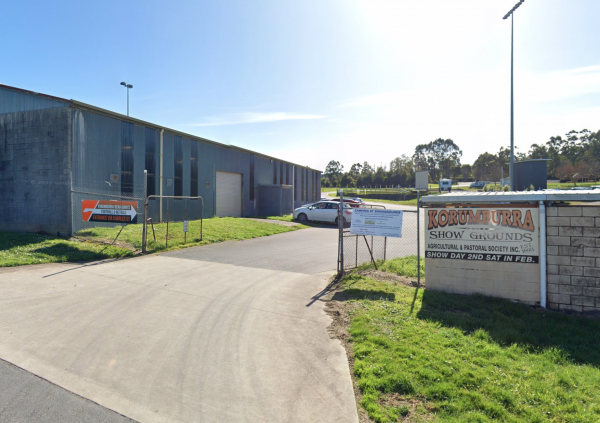
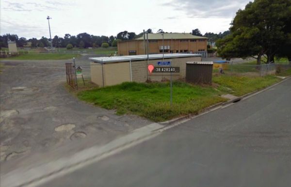
Korumburra Showgrounds
Entrance to Korumburra Showgrounds
, , , , ,
Korumburra Tourist Park
Entrance to the Korumburra Tourist Park Korumburra Tourist Park location map
, , , , , , ,
The Kurth Kiln Picnic and Camping Ground has plenty of good flat spots to pitch tents. Unfortunately there is often a lot of rubbish left behind by morons who don't care about the next person camping here. On the plus side there are a few easy and enjoyab ...
The Kyneton Mineral Springs Rest Area is next to the Campaspe River. There is a small pavillion where you can hand pump some fresh Mineral Water to take with you, and picnic tables, bbq, children's playground next to it. Entrance to the Kyneton Mineral S ...
, , , ,
Laanecoorie Lakeside Park
Entrance to the Laanecoorie Lakeside Park Laanecoorie Lakeside Park location map
, , , , , , , , , , , , ,

Entrance to the Lake Anderson Caravan Park Lake Anderson Caravan Park location map
, , , , ,
Lake Boga Caravan Park Entrance to the Lake Boga Caravan Park Lake Boga Caravan Park location map
, , , , , , , ,

The Lake Boga Rest Area is on the shore of Lake Boga, with plenty of parking and a toilets to make your rest a bit more pleasant. P.S. The lake is sometimes subject to drought condition, so NO WATER. Entrance to the Lake Boga Rest Area Lake Boga Rest ...
, , , ,
Lake Bolac Caravan & Tourist Park
Entrance to the Lake Bolac Caravan Park Lake Bolac Caravan Park location map
, , , , , , , ,
Lake Bolac East Beach Camping Area
Lake Bolac East Beach Camping Area location map
, , , ,
The Lake Buninjon Rest Area Take a stroll along the shoreline of the lake, (Water levels do vary a bit) So I'm not sure sure if there are any fish in the lake. Great place to capture birds with your camera. Entrance to the Lake Buninjon Rest Area Lake ...
,
Lake Burrumbeet Caravan Park
Entrance to the Lake Burrumbeet Caravan Park Lake Burrumbeet Caravan Park location map
, , , , , , , , , , , , ,
Lake Charm Foreshore Caravan Park
Entrance to the Lake Charm Foreshore Caravan Park Lake Charm Foreshore Caravan Park location map
, ,
Lake Charm Rest Area
The Lake Charm Rest Area is next to Racecourse Lake and water levels vary according to seasonal conditions. Entrance to the Lake Charm Rest Area Lake Charm Rest Area location map
, , , ,
Entrance to the Lake Colac Caravan Park Lake Colac Caravan Park location map
, , , , , , ,
Lake Fyans Holiday Park
Entrance to the Lake Fyans Holiday Park Lake Fyans Holiday Park location map
, , , , , , , , ,  , , , , , ,
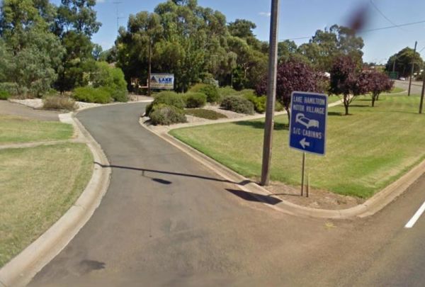
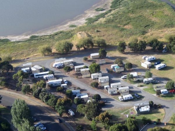
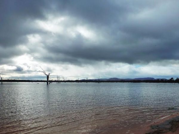
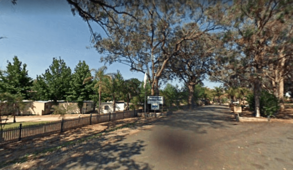
Entrance to the Lake Hamilton Motor Village and Caravan Park Lake Hamilton Motor Village and Caravan Park location map
, , , , , , , , , , , ,
Entrance to the Lake Hume - Discovery Parks Lake Hume - Discovery Parks location map
, , , , , , , , , , , , , ,
Lake Lascelles Rest Area has plenty of camping spots along the Lake Lascelles shoreline. Lake Lascelles Rest Area location map
, , ,
NOTE: NO Camping in Tents PermittedEntrance to the Lake Learmonth Caravan Park Lake Learmonth Caravan Park location map
, , , , , ,
Lake Lonsdale Camping Area
The Lake Lonsdale Camping Area has toilets, and plenty of room to camp. Please Note: There are also NO CAMPING areas throughout the Nature Reserve, so please obey the signs, so others can enjoy camping here in the future. Lake Lonsdale Camping Area locat ...
, , ,
Lake Narracan Caravan Park
Entrance to the Lake Narracan Caravan Park Lake Narracan Caravan Park location map
, , , , , ,
The Lake Ratzcastle Camping Area has flushing toilets, tank water and hot showers. There are plenty of camping spots available for large rigs or caravans near the lake. Sit back and relax, maybe try your luck at catching a Yabbie or two for dinner. Entra ...
, , , , ,
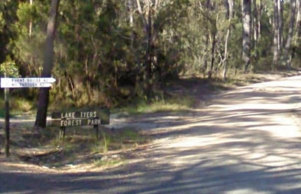
Lake Tyers Forest Park - Toorloo Arm Rest Area
Entrance to the Lake Tyers Forest Park - Toorloo Arm Rest Area Lake Tyers Forest Park - Toorloo Arm Rest Area location map
The Lake Weeroona Park Rest Area has a good playground for the children and you. It's a rather nice place to have a rest. Entrance to the Lake Weeroona Park Rest Area Lake Weeroona Park Rest Area location map
, , , , ,
Lakes & Craters Holiday Park
Entrance to the Lakes & Craters Holiday Park Lakes & Craters Holiday Park location map
, , , , , , , , ,
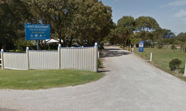
Lakes Beachfront Holiday Retreat
Entrance to the Lakes Beachfront Holiday Retreat Lakes Beachfront Holiday Retreat location map
, , , , , , , , ,  , , , , ,
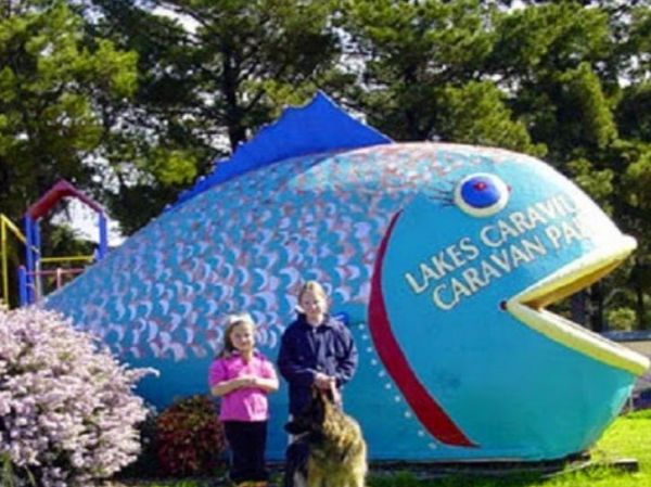
Lakes Caravilla Caravan Park
Entrance to the Lakes Caravilla Caravan Park Lakes Caravilla Caravan Park location map
, , , , , , , ,
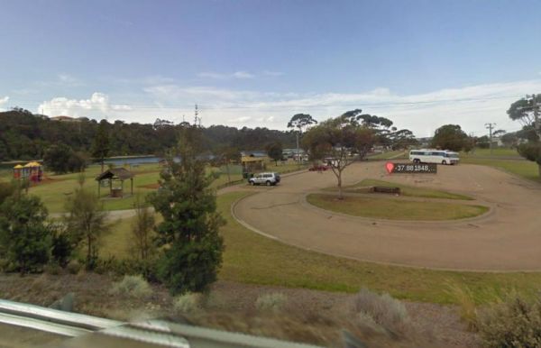
Lakes Entrance Parking Area
The Lakes Entrance Parking Area Walk over to the Tidal inlet and toss a line in. Have a BBQ while the kids play on the playground or pop over to the Visitor Information Centre. Entrance to the Lakes Entrance Parking Area Lakes Entrance Parking Area lo ...
, , , ,
Lakes Entrance Tourist Park
Entrance to the Lakes Entrance Tourist Park Lakes Entrance Tourist Park location map
, , , , , , , , ,
LakeView Caravan Park
Entrance to the LakeView Caravan Park LakeView Caravan Park location map
, , , , , , , , ,
The Lal Lal Falls Rest Area has a BBQ, toilets and shelter. It is a nice place to take a few photos and have a picnic. Note: This waterfall is seasonal, so winter is the best time to see the waterfall in action. Entrance to the Lal Lal Falls Rest Area ...
, , , ,
The Lalgambook Picnic Area has plenty of space for all types of vans, and is reasonably close to Melbourne and Bendigo. There are some pleasant day hikes at Mt Alexander. This campsite has flushing toilets, picnic areas and plenty of firewood. Entrance t ...
, , ,
The Langi Ghiran Rest Area is located just on the edge of the State Park, there's a few picnic tables so it's a handy place to pull over to take a break from driving, and it's not to far from Ararat. Entrance to the Langi Ghiran Rest Area Langi Ghiran ...
,
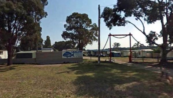
Lealow Caravan Park
Entrance to the Lealow Caravan Park Lealow Caravan Park location map
, , , , ,
Leigh River Rest Area
The Leigh River Rest Area is a long gravel road with plenty of spots to choose from and only a short walk over the bridge to the pub for a meal. Entrance to the Leigh River Rest Area Leigh River Rest Area location map
, , ,
Entrance to the Lexton South Rest Area Lexton South Rest Area location map
,
Lightning Creek Camping Area
The Lightning Creek Camping Area has drop toilets, bbqs, picnic tables, large grassy areas with shaded areas to camp under, with the Snowy Creek not too far away. Entrance to the Lightning Creek Camping Area Lightning Creek Camping Area location map
Lilydale Pine Hill Caravan Park is at the gateway to Victoria’s famous Yarra Valley and the Dandenong Ranges. We have a range of modern & affordable accommodation in Lilydale, Victoria. Whether you need a Cabin or a Site for your RV’s, caravan, la ...
, , , , , , ,  , , , , , ,
  , , , , ,
The Lima East Creek Rest Area, is a gravel parking area on the edge of the Midland Highway, with lots of trucks going by. There is a picnic table, a fireplace and a bit of shade. the creek has a trickle of water in it. Entrance to the Lima East Creek Res ...
, ,
Little Bruces Track Camping Area
Little Bruces Track Camping Area has 3 general camping sites, Forges 1, Forges 2, and Little Bruce. Can be hard to find the right Dirt road running off the Murray Valley Highway (Turn off GPS -35.998578, 145.936646), but well signed after that. Little Br ...
Little River Highway Rest Stop (Northbound)
Little River Highway Rest Stop (Northbound) now has NO CAMPING signs but it's a nice place to take a break from driving. There is a petrol station next to this rest spot with take away food. Entrance to the Little River Highway Rest Stop (Northbound) ...
Little River Highway Rest Stop (Southbound)
The Little River Highway Rest Stop (Southbound) now has NO CAMPING signs but its a nice place to take a break from driving. There is a petrol station next to this rest spot with take away food and an Information Center. Entrance to the Avalon Rest Area ...
The Loch Memorial Reserve Camping Area is within easy walking distance to the local General Store, so you can pick up a newspaper and some supplies. Entrance to the Loch Memorial Reserve Camping Area Loch Memorial Reserve Camping Area location map
, , , ,
Loch Sport Caravan Park
Entrance to the Loch Sport Caravan Park Loch Sport Caravan Park location map
, , , , , , , ,
Log Crossing Picnic Area
The Log Crossing Picnic Area is a large area, with plenty of places to pitch a tent. The pit toilet is located North-West of California Gully, near the Mississippi Creek. Log Crossing Picnic Area Log Crossing Picnic Area location map
, , , ,
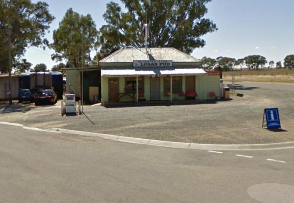
To stay at the Logan Pub Rest Area, please phone ahead, and ask for permission at the pub to camp. ph: (03) 5496 2220 Entrance to the Logan Pub Rest Area Logan Pub Rest Area location map
, , ,
Entrance to the Lomond Hill Rest Area Lomond Hill Rest Area location map
Long Jetty Caravan Park
If your staying at the Long Jetty Caravan Park, you must go to the Welshpool Long Jetty and take the 750 metre walk to the end, be sure to take some warm clothes with you in the cooler months as the wind can make you feel a bit chilly. NOTE: Dump point us ...
, , , , , , ,
Longwarry North Rest Area (Westbound only)
Entrance to the Longwarry North Rest Area (Westbound only) Longwarry North Rest Area (Westbound only) location map
, ,
THIS CAMPSITE is now PERMANENTLY CLOSED due to inconsiderate campers damaging the property. The Lumbys Bend Camping Area With the Murray River meandering by, water activities including fishing,swimming, kayaking etc. come to mind and photography all av ...
Entrance to the Macedon Caravan Park Macedon Caravan Park location map
, , , , , ,
Magorra Caravan Park
Entrance to the Magorra Caravan Park Magorra Caravan Park location map
, , , , , , , , , , , ,
Entrance to the Maiden's Inn Holiday Park Maiden's Inn Holiday Park location map
, , , , , , , , , , ,
Major Creek Reserve Camping Area
The Major Creek Reserve Camping Area has quite a few camping spots but only a couple of campsites close to the drop toilets. This camping ground tends to get a bit dusty during the summer months, and you might get a few motorbikes on the weekends. Major ...
Entrance to the Maldon Caravan & Camping Park Maldon Caravan & Camping Park location map
, , , , , ,
The Maldon Historic Reserve Butts Camping Area has proper flushing toilets and fire pits with swing over hotplates. There is plenty of room for tents and caravans, but take your levelling blocks with you just in case all the flat ground is taken.Note This ...
, , ,
The Malone Park Rest Area has plenty of space for all caravans and motorhomes of all sizes. Entrance to the Malone Park Rest Area Malone Park Rest Area location map
, , ,
Manangatang Rest Area
The Manangatang Rest Area is a large gravel area set back from Wattle Street with toilets to make a stop here more pleasant. Entrance to the Manangatang Rest Area Manangatang Rest Area location map
, , ,
Maramingo Creek Rest Area
The Maramingo Creek Rest Area is on the edge of the Princes Highway. You can take a break at one of the picnic tables along this spot. Rubbish bins are also available. Entrance to the Maramingo Creek Rest Area Maramingo Creek Rest Area location map
Marengo Holiday Park
Entrance to the Marengo Holiday Park Marengo Holiday Park location map
, , , , , , , ,
The Marlay Point Free Camping is located approx 18kms from Sale on Clydebank Road, turn off at signs to Marlay Point. Nice grassy area (just near yacht club). Entrance to the Marlay Point Free Camping Marlay Point Free Camping location map
, , , ,
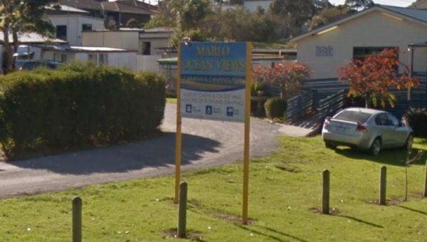
Entrance to the Marlo Ocean View Caravan & Camping Park Marlo Ocean View Caravan & Camping Park location map
, , , , , , , ,
The Married Mens Camping Areais best suited to 4x4's and vehicle based camping. There are a reasonable amount of tent spaces available, and the Arnold Creek is nearby for running water.. Married Mens Camping Area location map
Maryborough Caravan Park
Entrance to the Maryborough Caravan Park Maryborough Caravan Park location map
, , , , , , , , , , , , ,
The McClelland Camping Area is with best accessed with 4x4's and vehicle based tent camping, you will need to bring everything you need and take your rubbish with you, water is available from the Big River, but make sure you treat it first before drinking ...
McKenzie River Rainforest Walk
The McKenzie River Rainforest Walk is approximately a 1 kilometer easy walk (there are a few stairs to negotiate), and is a nice break from driving. The picnic tables, rubbish bins, and toilet facilities make this a nice place to pull over, and as a bonus ...
,
McKinnon Point Camping Area
The Mckinnon Point Camping Area has easy access to river during the summer months parts of river will dry up but the remaining parts are lovely to swim in. The Freestone Creek runs alongside this spot, there are some lengthy walks of up to 60 kilometers a ...
The Meredith Rest Area is a large gravel area with plenty of parking available. There is a toilet block a BBQ, undercover seating and room to stretch your legs. Meredith Rest Area 360 Entrance to the Meredith Rest Area Meredith Rest Area location m ...
, , , ,
The Merrinee North Reset Area is on the edge of the Sturt Highway with plenty of room to park. There are a few trees for shade, and a picnic table and rubbish bin onsite. Entrance to the Merrinee North Reset Area Merrinee North Reset Area location map ...
Entrance to the Mildura - All Seasons Holiday Park Mildura - All Seasons Holiday Park location map
, , , , , , , , , , ,
Entrance to the Mildura - Free Dump Point Mildura - Free Dump Point location map
, , ,
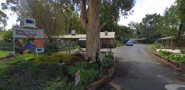
Entrance to the Mildura Golden River Holiday Resort BIG4 Mildura Golden River Holiday Resort BIG4 location map
, , , , , , , , , , , , , ,
The Miners Flat Camping Area has space mainly for vehicle based camping and a few tents. Entrance to the Miners Flat Camping Area Miners Flat Camping Area location map
Mirboo North - Dump Point
Mirboo North - Dump Point located BP Service Station, Cost $5.00 fee, if fuel purchased no charge. Key from attendant. Big Rig OK Can be accessed from main road or rear access road. Entrance to the Mirboo North - Dump Point Mirboo North - Dump Point loc ...
, , ,
The Mirimbah West Rest Area is next to the Delatite River and it's a nice spot to try your hand at fishing or take a quick stroll with your trusty camera in hand. Entrance to the Mirimbah West Rest Area Mirimbah West Rest Area location map
, ,
Entrance to the Moe Gardens Caravan Park Moe Gardens Caravan Park location map
, , , , , , , ,
The Mokoan Rest Area (Northbound) is a busy truck stop and very well appointed, a great place to pull over to take a break from driving with plenty of room to park. Entrance to the Mokoan Rest Area (Northbound) Mokoan Rest Area (Northbound) location m ...
, , ,
The Mokoan Rest Area (South Bound) is a well appointed Truck stop with plenty of room to park. Entrance to the Mokoan Rest Area (Southbound) Mokoan Rest Area (Southbound) location map
, ,
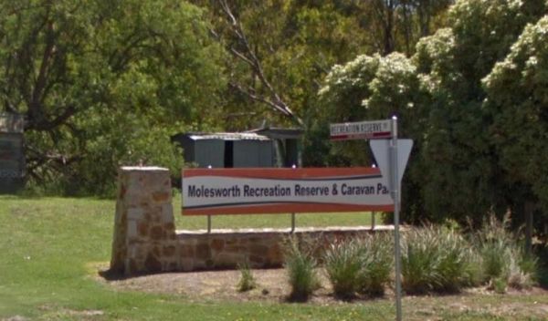
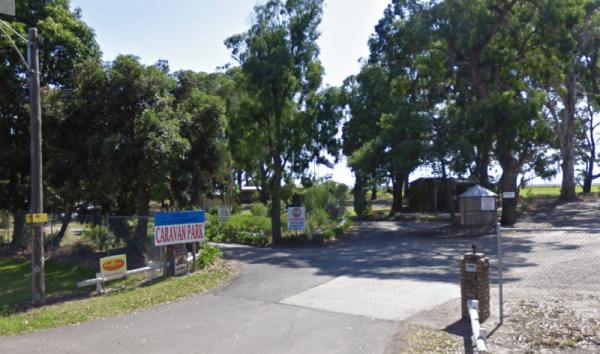
Molesworth Reserve Camping Ground
Entrance to the Molesworth Reserve Camping Ground Molesworth Reserve Camping Ground location map
, , , , , ,
The Moliagul Rest Area has a toilet and bbq plus undercover picnic table, as a side note, John Flynn the founder of the Flying Doctor service was born nearby and they have a monument commemorating this here. Entrance to the Moliagul Rest Area Moliagul ...
, ,
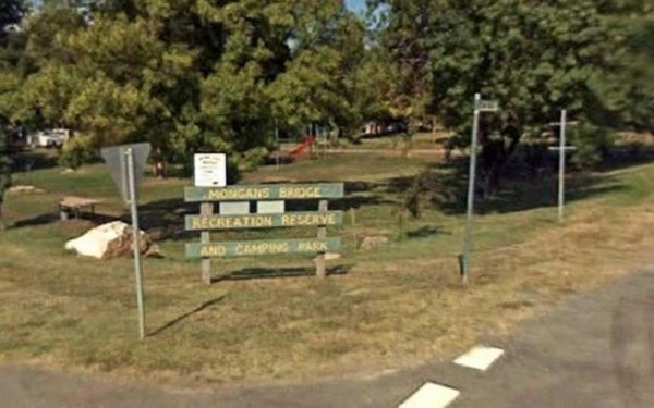
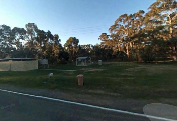
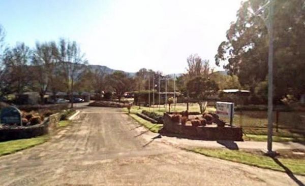
Mongans Bridge Caravan Park
Entrance to the Mongans Bridge Caravan Park Mongans Bridge Caravan Park location map
, , , , ,
The Morwell River Free Camping site 1 is on the banks of the Morwell River, please take your rubbish with you when leaving. Morwell River Free Camping site 1 location map
Entrance to the Mount Beauty Holiday Centre and Caravan Park Mount Beauty Holiday Centre and Caravan Park location map
, , , , , , , ,
Mount Beckworth Scenic Reserve - Cork Oaks - Camping Ar...
Entrance to the Mount Beckworth Scenic Reserve - Cork Oaks - Camping Area Mount Beckworth Scenic Reserve - Cork Oaks - Camping Area location map
Mount Beckworth Scenic Reserve - Manna Gums - Camping A...
Mount Beckworth Scenic Reserve - Manna Gums - Camping Area location map
,
Mount Beckworth Scenic Reserve - The Dam - Camping Area
The Mount Beckworth Scenic Reserve - The Dam - Camping Area is a rough bush camp where you need to bring everything you need with you, and please take your rubbish with you when you leave. Entrance to the Mount Beckworth Scenic Reserve - The Dam - Campin ...
,
Mount Buffalo Caravan Park
Entrance to the Mount Buffalo Caravan Park Mount Buffalo Caravan Park location map
, , , , , , , , ,
Mount Franklin Reserve Camping Area
The Mount Franklin Reserve Camping Area is a large grassy area with quite a few picnic tables, a toilet block and a some unofficial fireplaces. The campground is located inside an Extinct Volcano, with plenty of walking tracks to explore the surrounding a ...
, ,
Mountain Dam Camping Area has plenty of camping spots to choose from. There is a drop toilet and a few fire pits with picnic tables. Lots of wildlife photography opportunities. Also a boat ramp, so you can launch your kayak with ease, but do take it caref ...
, , , ,
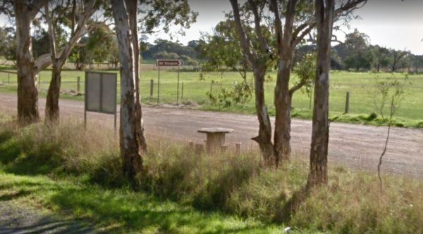
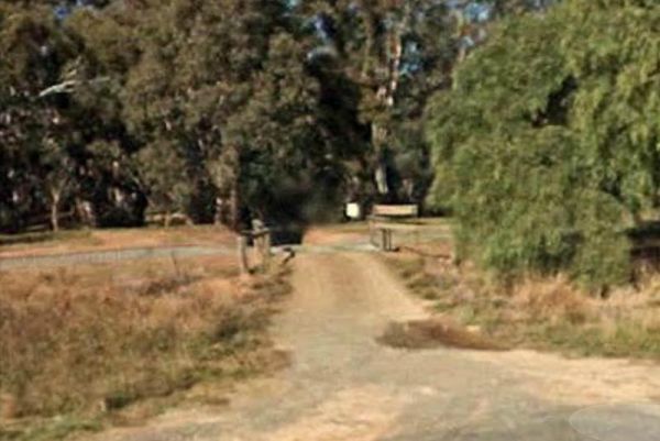
Mt Disappointment State Forest - No 1 Camping Area
Mt Disappointment State Forest - No 1 Camping Area has toilets and undercover picnic tables, with plenty of room for campers and caravans. Entrance to the Mt Disappointment State Forest - No 1 Camping Area Mt Disappointment State Forest - No 1 Camping ...
, ,
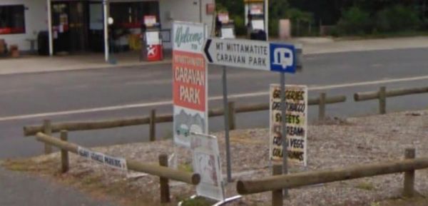
Entrance to the Mt Mittamatite Caravan Park Mt Mittamatite Caravan Park location map
, , , , , , , , ,
Mt Sturgeon Rest Area runs alongside the Glenelg Highway, there is plenty of parking space and a picnic table, a few trees and not much else to occupy your time here. Entrance to the Mt Sturgeon Rest Area Mt Sturgeon Rest Area location map
,
The Murchison State Forest - McMillans Camping Area is a rough bush camp with a few places to choose from, bring everything and remember to take your rubbish with you when you leave. Entrance to the Murchison State Forest - McMillans Camping Area Murc ...
Murrayville East Rest Area
Entrance to the Murrayville East Rest Area Murrayville East Rest Area location map
,
Murrayville Park Rest Area
The Murrayville Park Rest Area has a public toilet, and picnic tables and there is a Children's Playground and Hotel directly across the road. Entrance to the Murrayville Park Rest Area Murrayville Park R locationmapest Area
, , ,
Murrungower Rest Area
The Murrungower Rest Area has had a major upgrade with asphalt being laid with plenty of room to park all sized rigs. There is still a toilet block, picnic tables and a few fireplaces available. Entrance to the Murrungower Rest Area Murrungower Rest A ...
,
Myers Flat Rest Area
Myers Flat Rest Area has lots of room to park and plenty of picnic tables and a few fireplaces to cook a meal on, all in a nicely shaded area. Entrance to the Myers Flat Rest Area Myers Flat Rest Area location map
, ,
Myrtleford Holiday Park
Entrance to the Myrtleford Holiday Park Myrtleford Holiday Park location map
, , , , , , , , , , ,
Nalinga Rest Area
Nalinga Rest Area is a large gravel area with plenty of parking. There is an undercover picnic tables area with rubbish bins. It's OK for a break from driving and sitting in the shade for a few minutes. The Broken River runs quite close to this rest area, ...
, ,
Nariel Creek Recreation Reserve Camping Area
The Nariel Creek Recreation Reserve Camping Area is a large open grassed are with plenty of places to camp for the night. The Corryong Creek runs alongside this campground. Please note: The Nariel Creek Reserve was established as the site for the Nariel C ...
Naringal East Rest Area
The Naringal East Rest Area is set back a short distance from the main road. Here you will get a bit of shade from the trees, and a place to rest a bit. Entrance to the Naringal East Rest Area Naringal East Rest Area location map
,
The Native Waterhole Rest Area is set back from the Western Highway, with picnic tables and a few rubbish bins. Entrance to the Native Waterhole Rest Area Native Waterhole Rest Area location map
,
The Newmerella Rest Area is set a short distance back from the Princes Highway, with plenty of parking, Picnic Tables, Fireplaces, Public toilets and water onsite.There is a NO CAMPING Sign displayed at the entrance. Entrance to the Newmerella Rest Area ...
, , , ,
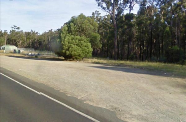
Newmerella Truck Rest Area
Entrance to the Newmerella Truck Rest Area Newmerella Truck Rest Area location map
,
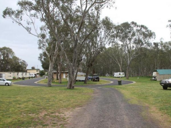
Entrance to the Nhill Caravan Park Nhill Caravan Park location map
, , , , , , , , ,
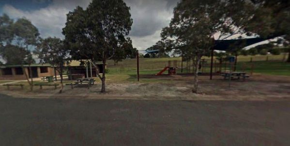
The Nicholson Rest Area is on the Nicholson River, with toilets and picnic tables for your pleasure, there is also water on tap, and fishing at your doorstep, all in all not a bad place to rest for a few minutes. Entrance to the Nicholson Rest Area Ni ...
, , , , , ,
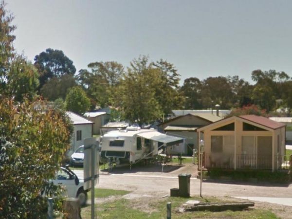
Entrance to the Nicholson River Caravan Park Nicholson River Caravan Park location map
, , , , , , , , , , , ,
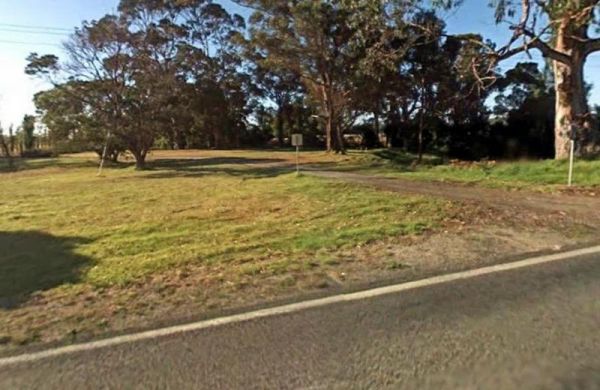
The Nine Mile Creek Rest Area is set back a short distance from the South Gippsland Highway. There are no facilities here, so not much to do apart from take a rest from driving, and stretch your legs. Entrance to the Nine Mile Creek Rest Area Nine Mil ...
, ,
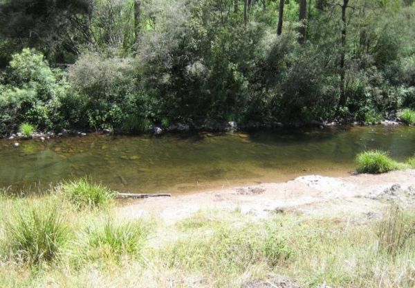
Noonans Flat Camping Area
The Noonans Flat Camping Area is a nice bush camp with drop toilets. You are adjacent the Howqua River so fishing and kayaking is available. Busy as peak times. A van visits with basic supplied during the peak season. Noonans Flat Camping Area location m ...
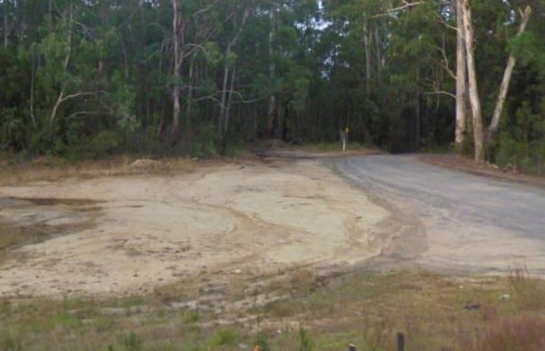
The Noorinbee Rest Area is a designated power nap area, with picnic tables, public toilets and tap water available. Entrance to the Noorinbee Rest Area Noorinbee Rest Area location map
, ,
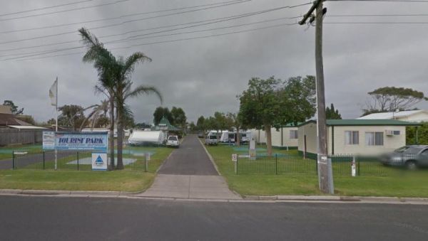
North Arm Tourist Park
Entrance to the North Arm Tourist Park North Arm Tourist Park location map
, , , , , , , , ,
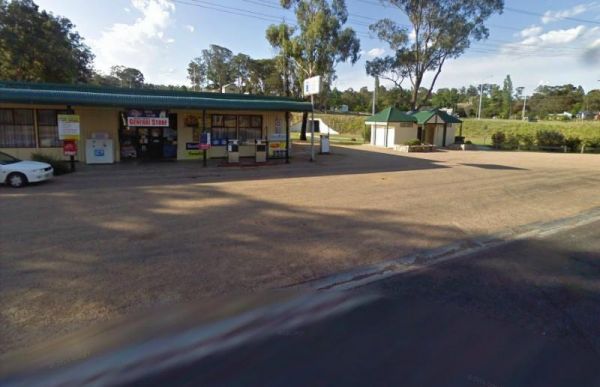
The Nowa Nowa Rest Area is next to the general store, so so can pick up needed food items and fuel up here, then take a few minutes rest, before heading off again on your journey. Entrance to the Nowa Nowa Rest Area Nowa Nowa Rest Area location map
, ,
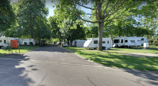
NRMA Bairnsdale Riverside Holiday Park
The NRMA Bairnsdale Riverside Holiday Park is pet friendly and has a great location next to the Mitchell River, plus its within easy walking to the local shops, and restaurants. Entrance to the NRMA Bairnsdale Riverside Holiday Park NRMA Bairnsdale Ri ...
, , , , , , , ,
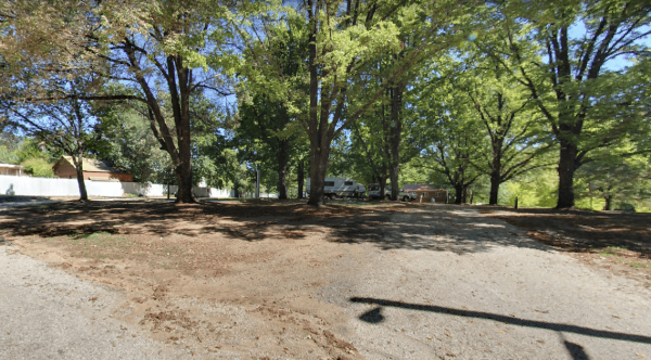
The NRMA Bright Holiday Park is located on the banks of Morse’s Creek which flows into the Ovens River all within easy walking distance from your campsite. Entrance to the NRMA Bright Holiday Park NRMA Bright Holiday Park location map
, , , , , , , , , , , ,
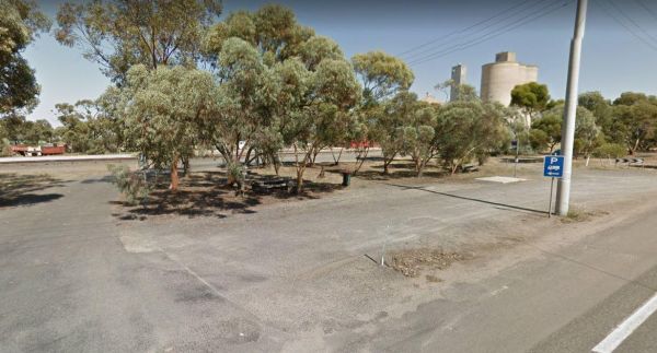
The Nullawil Rest Area is a very large gravel area wedged between the Calder Highway and the railway line. Pop over to the local Cafe across the road while your here. Entrance to the Nullawil Rest Area Nullawil Rest Area location map
,
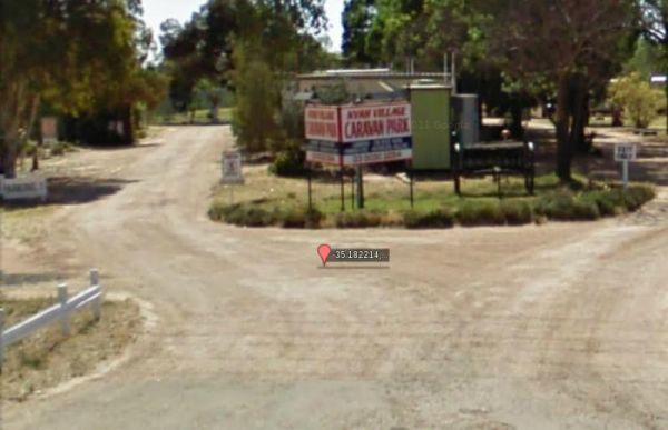
Entrance to the Nyah Village Caravan Park Nyah Village Caravan Park location map
, , , , , ,
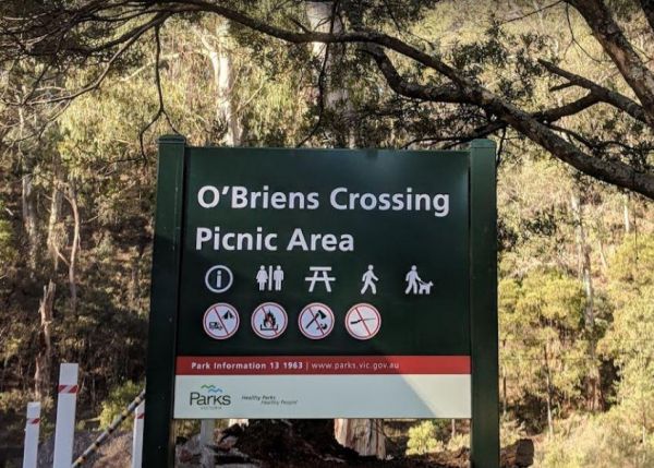
O'Briens Crossing Picnic Area
O'Briens Crossing Picnic Area is no allowing camping here, there is another location further up the road but it's a bit on the scary side to drive it. O'Briens Crossing Picnic Area 360 O'Briens Crossing Picnic Area location map
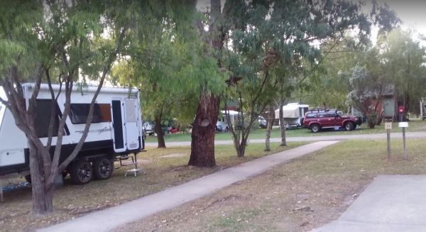
Otways Tourist Park
Entrance to the Otways Tourist Park Otways Tourist Park location map
, , , , , , , , , , , ,
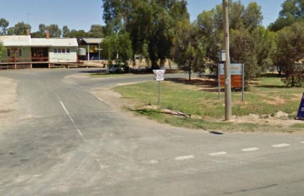
The Ouyen Park has a few picnic tables, and some shade so you can enjoy a break from driving. Entrance to the Ouyen Park Ouyen Park location map
,
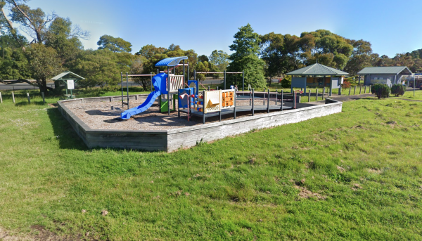
Entrance is from Harris Street.
, , , , , ,
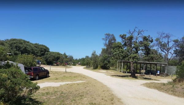
Paradise Beach Camping Area
The Paradise Beach Camping Area is a nice campground next to the open ocean beach, with good facilities. The ground can be hard to hammer in tent pegs in some spots, and a little uneven in others.Mosquitoes can be a problem in the warmer months, so take r ...
, ,
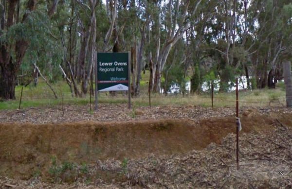
The Parolas Bend Camping Area is adjacent the Ovens River, so it's a good spot for fishing. Entrance to the Parolas Bend Camping Area Parolas Bend Camping Area location map
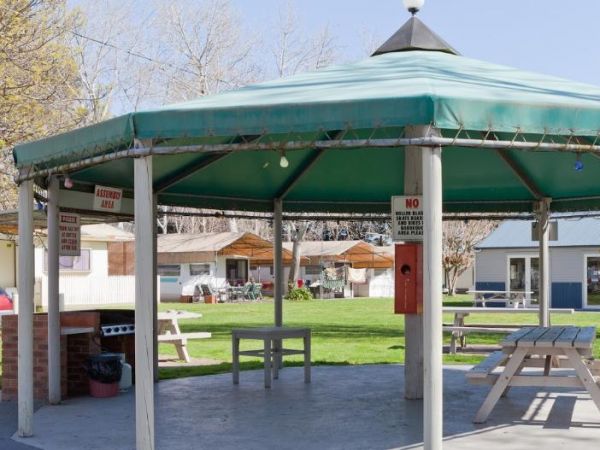
Entrance to the Peninsula Holiday Park Peninsula Holiday Park location map
, , , , , , , , , ,
The Peppermint Ridge Camping Ground has two camping spots and has good access to the Big River. This is a bring everything with you spot and take away your rubbish when you leave. Peppermint Ridge Camping Ground location map
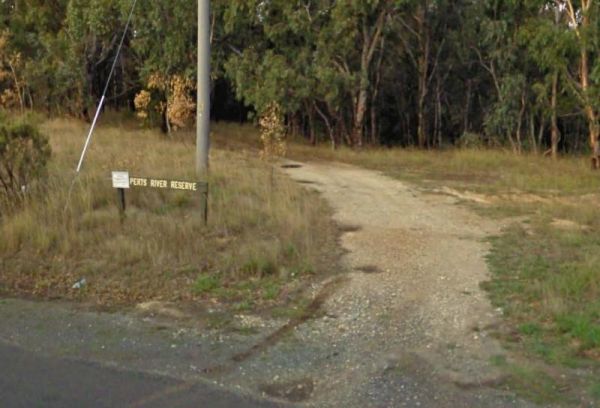
The Perts River Reserve is set well back along a gravel road from the Melba Highway on the Yea River. Nice spot for fishing or photography. Entrance to the Perts River Reserve Perts River Reserve location map
, , ,
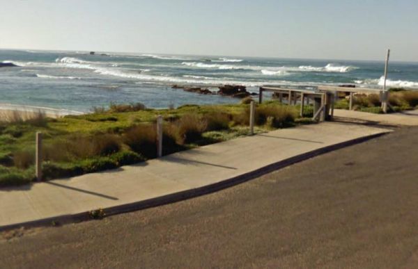
Peterborough Park Rest Area
The Peterborough Park Rest Area is a lovely day rest area with access to water for those interested in fishing, or photography.Please Note: Peterborough Park is a Rest Area ONLY, No Camping or Overnight Stopovers allowed. There are now signs saying no cam ...
, , , ,
Peters Bridge Rest Area
The Peters Bridge Rest Area is a large grassy area next to the Mitta Mitta River. This is a nice rest spot to try your kayak out, and maybe a bit of fishing also. Entrance to the Peters Bridge Rest Area Peters Bridge Rest Area location map
, ,
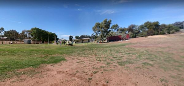
The Piangil Memorial Park Rest Area The Murray River is not far away if you want to try your hand at fishing. This site has new trees being planted over the last twelve months. So Please Show your Appreciation and leave a donation. Entrance to the Piangi ...
, ,
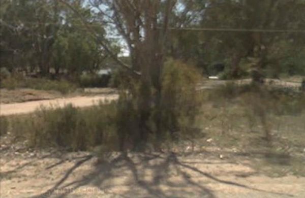
Entrance to the Piangil North Rest Area Piangil North Rest Area location map
, , ,
The Piangil West Rest Area is set well back from the Mallee Highway, and is a truck stop, so expect some company if you pop in here. Entrance to the Piangil West Rest Area Piangil West Rest Area location map
The Picnic Point Camping Area is a gravel area near the Goulburn River and setback a short distance from the Mansfield-Woods Point Road. Entrance to the Picnic Point Camping Area Picnic Point Camping Area location map
Pigs Point Reserve Camping Area
The Pigs Point Reserve Camping Area has large grassy areas next to the Mitta Mitta River, it's not a bad place to spend a day relaxing or fishing. Entrance to the Pigs Point Reserve Camping Area Pigs Point Reserve Camping Area location map
The Pinasters Picnic Rest Area Runs parallel to the Princes Highway well shaded area. Entrance to the Pinasters Picnic Rest Area Pinasters Picnic Rest Area location map
, ,
Porepunkah Pines Tourist Resort
Entrance to the Porepunkah Pines Tourist Resort Porepunkah Pines Tourist Resort location map
, , , , , , , , , , , , ,
Port Albert Rest Area
Entrance to the Port Albert Rest Area Port Albert Rest Area location map
, , , ,
Port Albert Seabank Caravan Park
Entrance to the Port Albert Seabank Caravan Park Port Albert Seabank Caravan Park location map
, , , , , ,
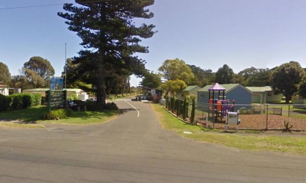
Port Fairy Holiday Park
Entrance to the Port Fairy Holiday Park Port Fairy Holiday Park location map
, , , , , , , , , , , , ,
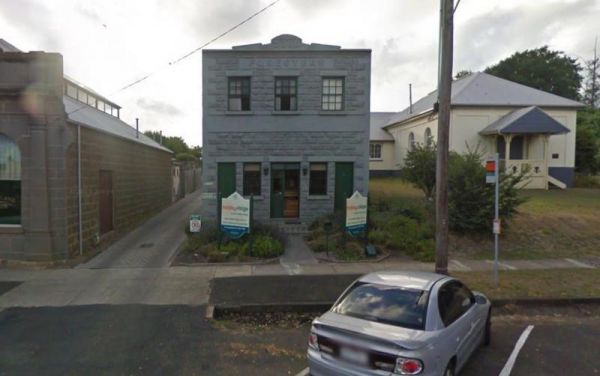
Entrance to the Portland Holiday Village Portland Holiday Village location map
, , , , , , , ,
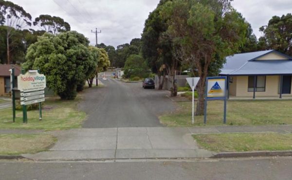
Entrance to the Portland Tourist Park Portland Tourist Park location map
, , , , , , , , , , ,
Powelltown Rest Area
The Powelltown Rest Area is a small gravel area with picnic tables and toilets onsite, and not too far from the Little Yarra River, as well as a pleasant walk along the Old Tramways tracks. Entrance to the Powelltown Rest Area Powelltown Rest Area loc ...
, , , ,
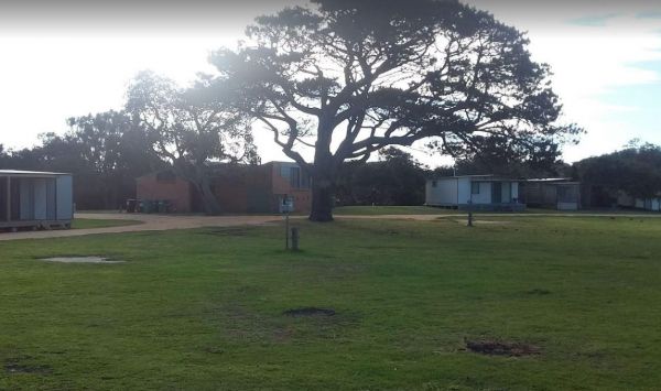
Entrance to the Powlett River Caravan Park Powlett River Caravan Park location map
, ,
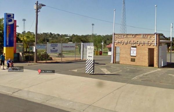
Prince of Wales Showgrounds
The Prince of Wales Showgrounds has a Free Dump Point. Entrance to the Prince of Wales Showgrounds Prince of Wales Showgrounds location map
, , , ,
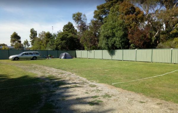
Entrance to the Prom Central Caravan Park Prom Central Caravan Park location map
, , , , , , , , , ,
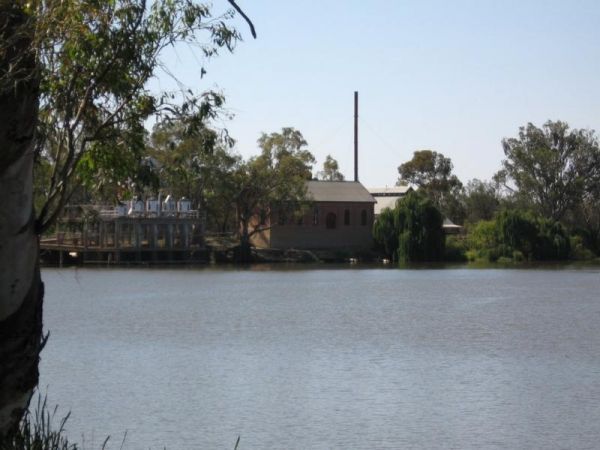
The Psyche Bend Camping Area has a historic pumping station nearby, which is open and run by enthusiasts. It's well worth a visit if you camp nearby. Psyche Bend Pumping Station 360 Psyche Bend Camping Area location map
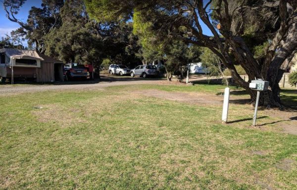
Queenscliff Victoria Park
Entrance to the Queenscliff Victoria Park Queenscliff Victoria Park location map
, , , ,
Ravenswood Rest Area - Northbound Truck Stop
At the Ravenswood Rest Area Northbound Truck Stop, you can fill up with fuel, and buy some food, or simply take a break from driving and use the Public Toilets. Entrance to the Ravenswood Rest Area - Northbound Truck Stop Ravenswood Rest Area - Northb ...
, ,
Red Cliffs Caravan Park
Entrance to the Red Cliffs Caravan Park Red Cliffs Caravan Park location map
, , , , , , ,
The Reids Campground Area is best suited to vehicle based camping, the Arnold Creek runs nearby, and you will be able to get some nice photos here. Reids Campground location map
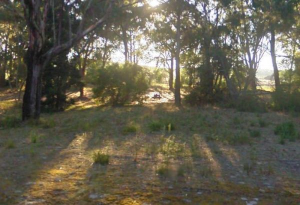
The Rennick Plantation - Palpara Camping Area ground is quite uneven, so it might be a bit hard finding level ground to pitch a tent on. Entrance to the Rennick Plantation - Palpara Camping Area Rennick Plantation - Palpara Camping Area location map
, ,
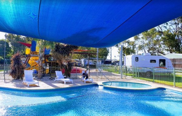
Resthaven Caravan Park
Entrance to the Resthaven Caravan Park Resthaven Caravan Park location map
, , , , , , , , , , ,
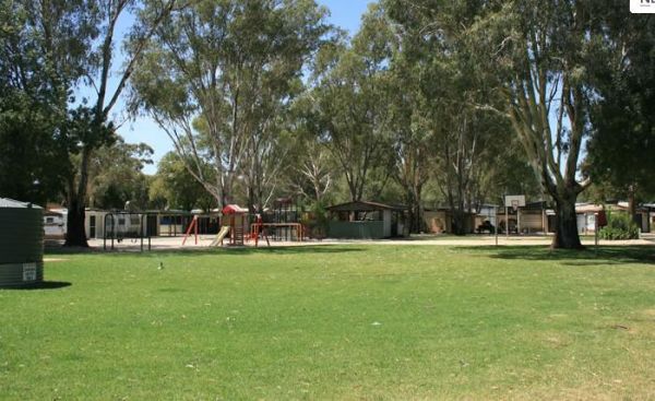
Entrance to the Riverlander Caravan Park Riverlander Caravan Park location map
, , , , , , ,
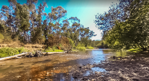
Riverview Caravan Park
The Riverview Caravan Park have some unpowered camp sites right on the banks of the Buckland River. Entrance to the Riverview Caravan Park Riverview Caravan Park location map
, , , , , , , , , , , ,
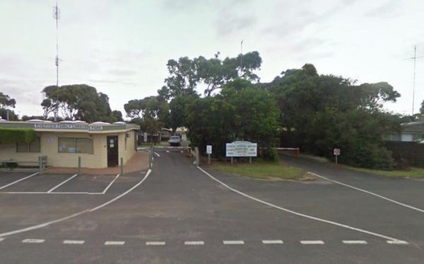
Riverview Family Caravan Park
Entrance to the Riverview Family Caravan Park Riverview Family Caravan Park location map
, , , , , , , , ,
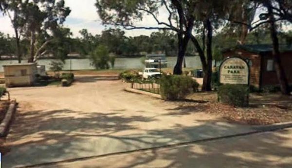
Entrance to the Robinvale Riverside Caravan Park Robinvale Riverside Caravan Park location map
, , , , , , , , ,
Rochester North Rest Area
The Rochester North Rest Area is a gravel area set amongst trees, with Campaspe River running just behind this spot, so you can take a break from driving, have a picnic, or try to catch dinner at the same time. Entrance to the Rochester North Rest Area ...
, , ,
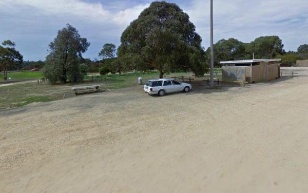
Entrance to the Rosedale Vicroads Wayside Stop Rosedale Vicroads Wayside Stop location map
, , ,
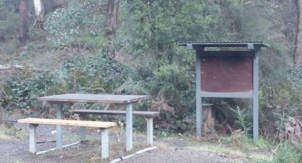
The Rubicon Boys Campground has drop toilets and this campsite can get busy over long weekends, and holidays in general. There are some nice 4x4 tracks to explore, and fishing in the river that runs alongside this campground. Rubicon Boys Campground loca ...
, , , ,
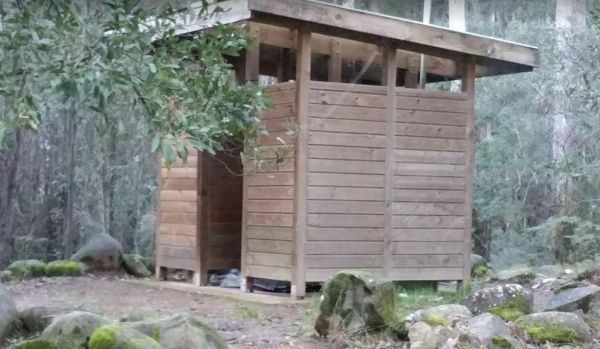
The Rubicon State forest, Kendalls Camping Area A has easy access for caravans and plenty of space to choose a campsite. There are fire pits located in most sites. This is a very busy campground during holidays and weekends. One thing to remember if you i ...
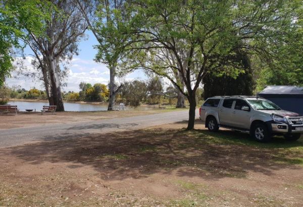
Rutherglen Caravan & Tourist Park
The Rutherglen Caravan & Tourist Park is a nice caravan park in a historic and interesting town. The facilities are modern, clean and well maintained, with plenty of room for all types of vans. Entrance to the Rutherglen Caravan & Tourist Park ...
, , , , ,
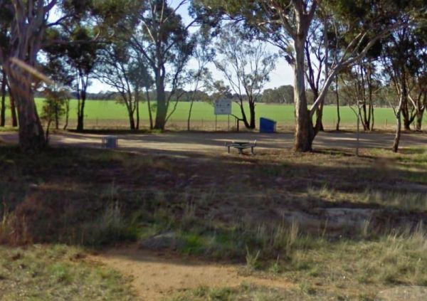
Rutherglen East Rest Area
The Rutherglen East Rest Area is a shady area, set between the Murray Valley Highway and Doolans Road with plenty of room for large rigs. Entrance to the Rutherglen East Rest Area Rutherglen East Rest Area location map
,
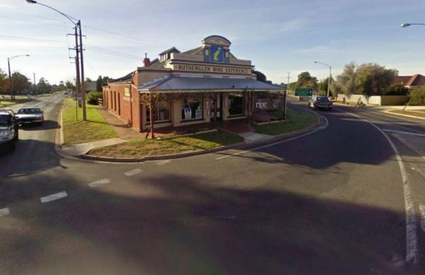
Rutherglen Wine Experience and Visitors Information Cen...
The Rutherglen Wine Experience and Visitors Information Centre has a nice cafe, and friendly staff. Here you can taste the different wines from the different wineries in the area, and you can even try fortified wines also. Entrance to the Rutherglen Wine ...
,
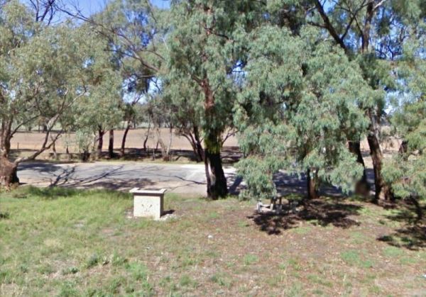
The Ryan Creek Rest Area has an information bay, a BBQ and picnic tables, so it's not a bad place to pull over for a few minutes, take a break and watch the traffic go by. Entrance to the Ryan Creek Rest Area Ryan Creek Rest Area location map
, ,
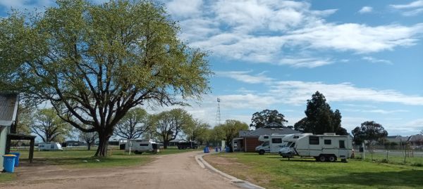
The Sale Showgrounds Motor Home Facility is Centrally located at the Sale Showgrounds, you will also get a Welcome pack which includes some discount vouchers. Entrance to the Sale Showgrounds Motor Home Facility Sale Showgrounds Motor Home Facility lo ...
, , ,
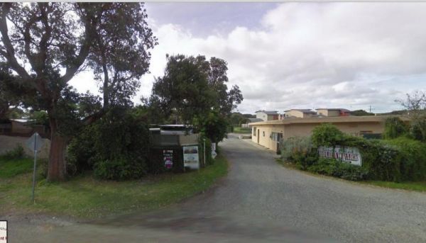
Sandy Point Holiday Park
Entrance to the Sandy Point Holiday Park Sandy Point Holiday Park location map
, , , , , , ,
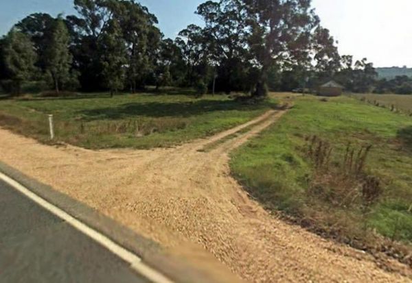
The Sarsfield Rest Area has large grassy area on the banks of the Nicholson River, time to go fishing or test out the Kayak again. Entrance to the Sarsfield Rest Area Sarsfield Rest Area location map
, , ,
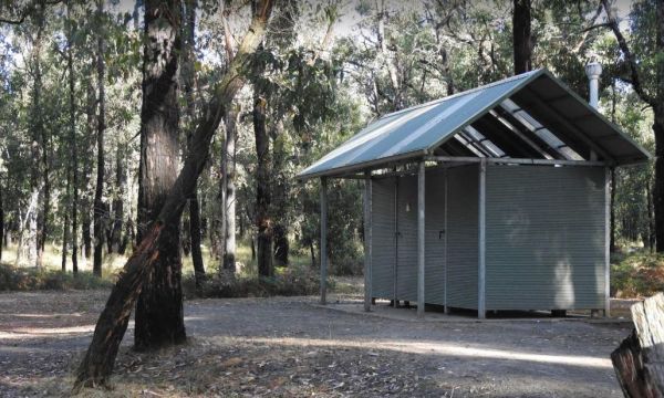
The Sawpit Campground is a large campground with plenty of camp sites to choose from, and once you've settled in, there are quite a few walking tracks to explore with your camera. Entrance to the Sawpit Campground Sawpit Campground location map
, ,
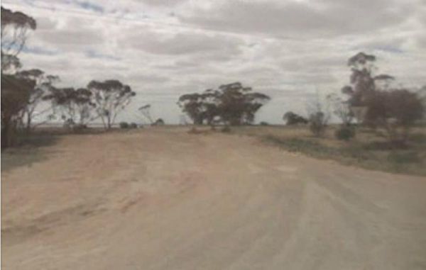
The Sea Lake North Rest Area is on the corner of Calder Highway and Baileys Road. It's about 1km from the Lake Tyrrell Viewing platform, and worth the extra time to take a few photos from there. Entrance to the Sea Lake North Rest Area Sea Lake North ...
,
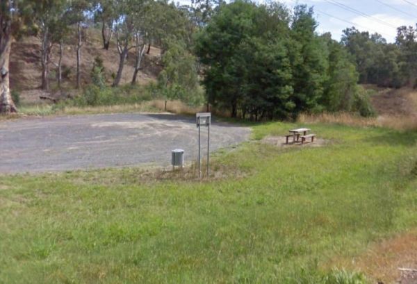
Sheepwash Lagoon Rest Area
The Sheepwash Lagoon Rest Area has a few picnic tables and rubbish bins, set next o the lagoon which might have a few yabbies or eels in it, who knows, maybe try your luck, and let us know about your results, Entrance to the Sheepwash Lagoon Rest Area ...
,
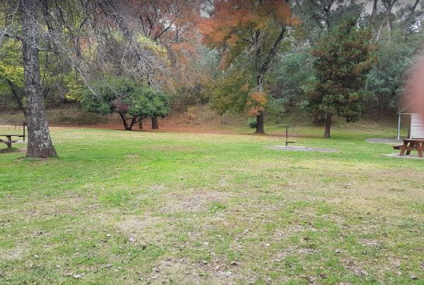
Sheepyard Flat Camping Area
The Sheepyard Flat Camping Area is a large area with many campsites to choose from. During the summer months an ice truck loaded with all sorts of goodies frequents the campground. Plenty of grassy areas to choose from on the banks of the Howqua River, bu ...
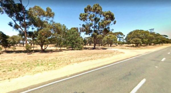
The Sherwoods Dam Rest Area has a warning sign near the water. Algae blooming is common in this area, which will make the water toxic to drink. Entrance to the Sherwoods Dam Rest Area Sherwoods Dam Rest Area location map
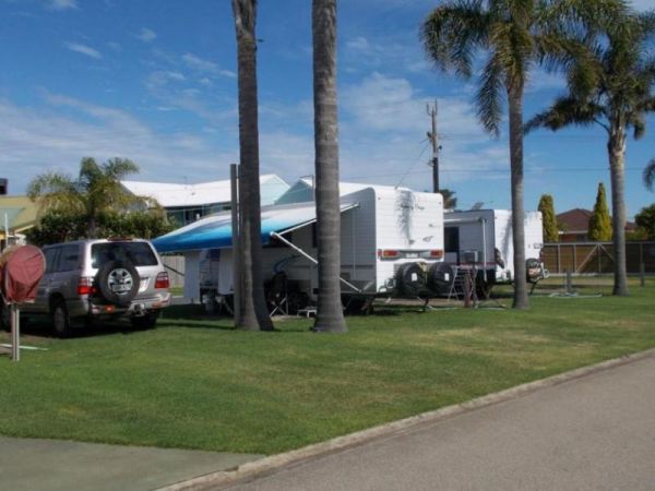
Silver Sands Tourist Park
Entrance to the Silver Sands Tourist Park Silver Sands Tourist Park location map
, , , , , , , , ,
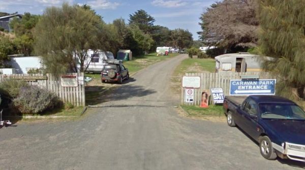
Skenes Creek Beachfront Park
Entrance to the Skenes Creek Beachfront Park Skenes Creek Beachfront Park location map
, , , , , , , , , , ,
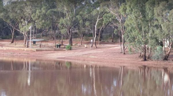
Skinners Flat Rest Area
The Skinners Flat Rest Area Great camping spot. Very basic amenities (drop toilet), fairly quiet - some road noise from the highway, but not too bad. Can get large vans in easily. Skinners Flat Rest Area 360 Skinners Flat Rest Area location map
, ,
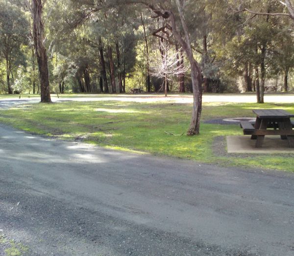
This free campground boasts a pleasant environment, featuring numerous level and grassy camping spots, some equipped with its own fire pit, bring your firewood, and a couple of picnic tables are available for your convenience. There are numerous well-kept ...
, , , ,
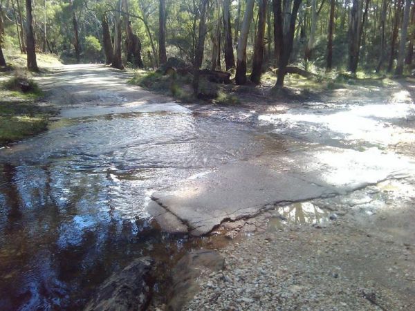
Slaty Creek Campground No2
The Slaty Creek Campground No2 is best suited to tents and camper trailers. Take Note: The small creek has no water flowing in it during the summer months. Entrance to the Slaty Creek Campground No2 Slaty Creek Campground No2 location map
, ,
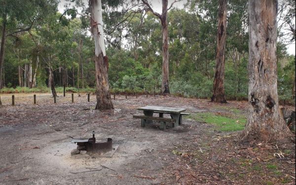
The Smiths Bridge Campground is a large tidy area with fire pits & bbq plate, a drop toilet, picnic tables, an running tap water, with plenty of shade to choose your campsite. Entrance to the Smiths Bridge Campground Smiths Bridge Camping Area loc ...
, , , ,
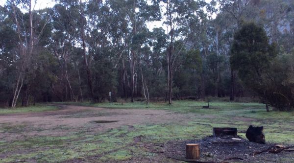
This free camping site can be found a brief drive down an unpaved road, offering a prime riverside location. The campgrounds may get muddy after rain, which could be problematic during wet weather. Some sites have multiple fire pits. It's recommended to b ...
, , ,
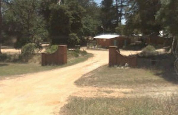
Smythesdale Park Rest Area
The Smythesdale Park Rest Area has room for caravans and motorhomes. There is a small fee charged for those interested in camping at the Park. Entrance to the Smythesdale Park Rest Area Smythesdale Park Rest Area location map
, , ,
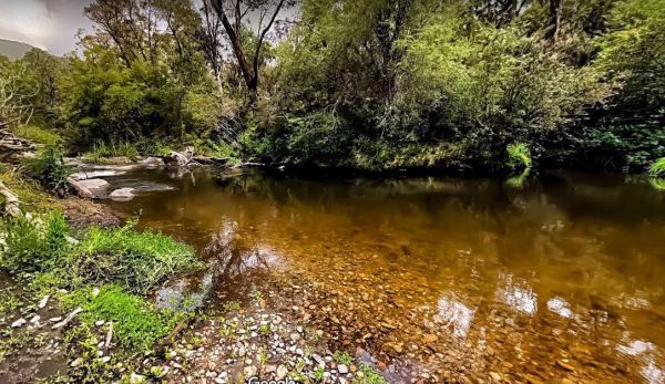
Snowy Creek Campground
The Snowy Creek Campground is located on the banks of the Snowy Creek, with bush-walking, photography etc, all available from this camp site. Snowy Creek 360 Snowy Creek Camping Area location map
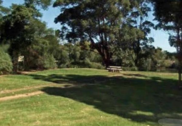
Entrance to the Snowy River Rest Area No 1 is just off Marlo Road with a large grassy area to park on, and the Snowy River on your doorstep. So pull out your fishing rod and good luck. Entrance to the Snowy River Rest Area No 1 Snowy River Rest Area N ...
, , ,
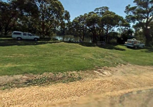
The Snowy River Rest Area No 2 is another large grassy area situated on the banks of the Snowy River. There is a picnic table located here as well. Entrance to the Snowy River Rest Area No 2 Snowy River Rest Area No 2 location map
, , ,
The Specimen Creek Camping Ground is a basic bush camp and best left to 4x4 enthusiasts, and tent based camping. Specimen Creek Camping Ground location map
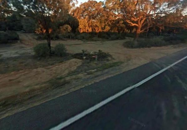
The Spencers Bend Camping Area is located on the Murray River and Its a tight squeeze for caravans, more suited to camper trailers and tents. But once your in, try your hand at fishing, or photography. Spencers Bend Camping Area location map
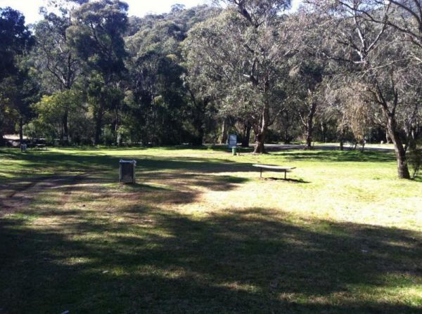
Stacey Bridge Camping Area
The Stacey Bridge Camping Area Take advantage of a nice camping area and take your camera for a walk, and capture a few memories to take away with you. Stacey Bridge Camping Area location map
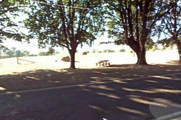
Staghorn Flat Rest Area
The Staghorn Flat Rest Area is on the verge of the main road. if you stop here be sure to checkout the stone monument while your there. I'm curious as to what it is dedicated to. If anyone knows please pop a message to admin. Entrance to the Staghorn Fla ...
,
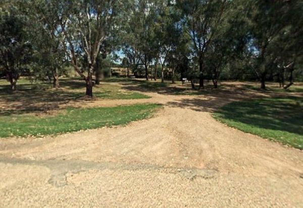
The Stan Allen Reserve Rest Area has a 20 hour stop over limit has some nice shady spots to choose from along the bank of the King River. Public Toilets are on the Oxley side of the bridge, and that is only a short walk from the rest area. Entrance to th ...
, , ,
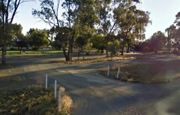
The Stanhope East Rest Area is located on the corner of Midland Highway and Savige Road, it's just a place to pull over and recover from driving. Entrance to the Stanhope East Rest Area Stanhope East Rest Area location map
,
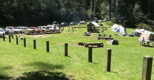
Starlings Gap Camping Area
The Starlings Gap Campground Secluded camping spot with a drop toilet facility but make sure to bring some toilet paper with you, fire pits and even a sheltered picnic table. This campsite gets very busy during public holiday weekends. Finding a level gro ...
, ,
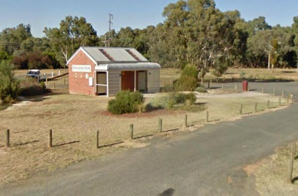
The Stawell Federation Park Rest Area is a large gravel area with water taps and fireplaces and picnic tables., you can also walk over the Grampians Rd and enjoy a short walk around the small lake, There are also public toilets and an information board at ...
, , ,
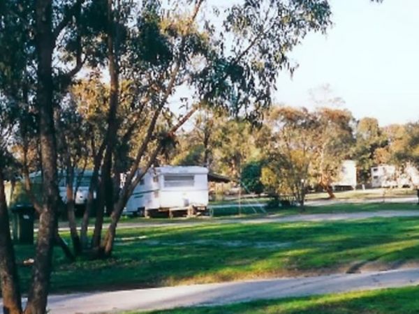
Stawell Park Caravan Park
Entrance to the Stawell Park Caravan Park Stawell Park Caravan Park location map
, , , , , , , , , , , , ,
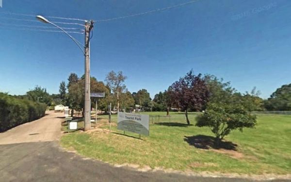
Entrance to the Stratford Top Tourist Park Stratford Top Tourist Park location map
, , , , , , , ,
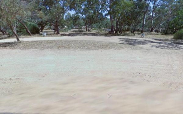
Stuart Mill South Rest Area
The Stuart Mill South Rest Area is on the edge of the Sunraysia Highway, this rest spot has a couple of rubbish bins and that's it. You can sit in you vehicle or van and watch the traffic go by. Entrance to the Stuart Mill South Rest Area Stuart Mill ...
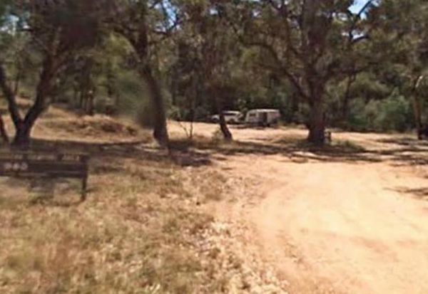
Suggan Buggan Campground
The Suggan Buggan Campground is a gravel area next to the Suggan Buggan River. This camp site is on a narrow winding unmade road. Entrance to the Suggan Buggan Campground Suggan Buggan Campground location map
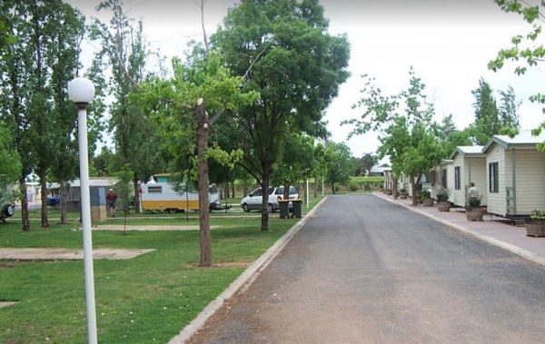
Sun City Caravan Park
Entrance to the Sun City Caravan Park Sun City Caravan Park location map
, , , , , , , , , ,
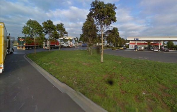
The Sunshine Mobil Service Centre - Free Dump Point is located on the Western Ring Road North Bound, use truck lane, after pumps, marked as Bus Effluent Point. Suitable for all vehicles , Service centre for fuel and McDonalds Note: A small fee is charged ...
, , ,
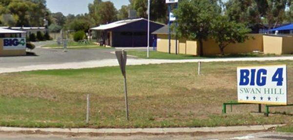
Entrance to the Swan Hill BIG4 Swan Hill BIG4 location map
, , , , , , , , , , , , , , , , ,
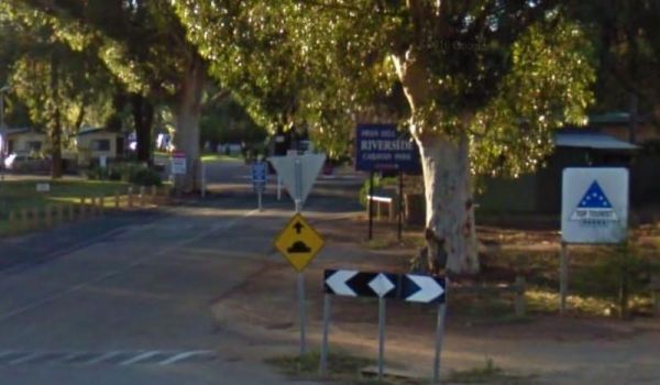
Entrance to the Swan Hill Riverside Caravan Park Swan Hill Riverside Caravan Park location map
, , , , , , , , , , , , ,
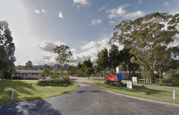
Swan Reach Gardens Tourist Park
Entrance to the Swan Reach Gardens Tourist Park Swan Reach Gardens Tourist Park location map
, , , , , , , , , , ,
Swan Reach Rest Area
The Swan Reach Rest Area is directly opposite the Swan Reach General Store, so you can pop over and purchase a few essentials for your journey while stopping here. Entrance to the Swan Reach Rest Area Swan Reach Rest Area location map
, ,
The Tallandoon Rest Area is on the banks of the Mitta Mitta River, so water activities area available here along with some nice photography options.NOTE: There is a 24 hour limit for staying here. Entrance to the Tallandoon Rest Area Tallandoon Rest A ...
, , ,
The Tallangatta Creek Rest Area is a gravel area with a picnic table closer to the creek, it's not a bad place to take a break from driving. Entrance to the Tallangatta Creek Rest Area Tallangatta Creek Rest Area location map
, , ,
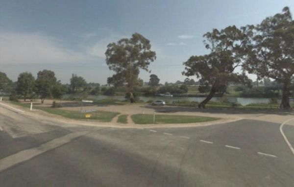
Tambo River Swan Reach Rest Area
The Tambo River Swan Reach Rest Area is next to the Princes Highway Tambo River bridge. So it's a handy stop where you can sit on the river bank and catch a bream or two. Entrance to the Tambo River Swan Reach Rest Area Tambo River Swan Reach Rest Are ...
, ,
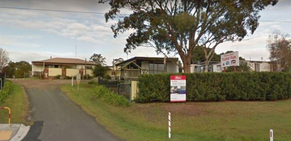
Tambo River Tourist Park
Entrance to the Tambo River Tourist Park Tambo River Tourist Park location map
, , , , , , ,
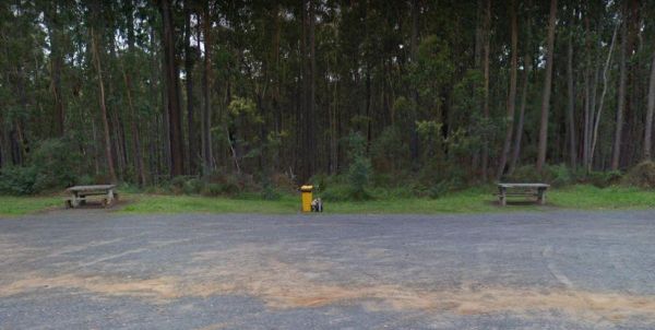
The Tamboon Rest Area - East of Cann River Entrance to the Tamboon Rest Area - East of Cann River Tamboon Rest Area - East of Cann River location map
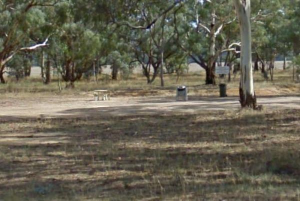
The Tanwood South Rest Area is just off the Sunraysia Highway, with rubbish bin and picnic tables. Why not grab a bite to eat, while you watch the traffic go by. Entrance to the Tanwood South Rest Area Tanwood South Rest Area location map
,
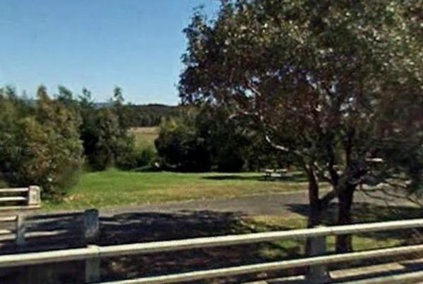
The Tarra River Rest Area is a handy spot on the South Gippsland Highway, here you can stretch your legs, and maybe grab a bite to eat before continuing your journey. Entrance to the Tarra River Rest Area Tarra River Rest Area local map
, , ,
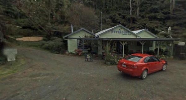
Tarra Valley Caravan Park
Entrance to the Tarra Valley Caravan Park Tarra Valley Caravan Park location map
, , , , , , , , ,
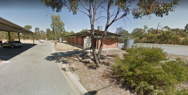
The Taungurung Truck Stop Rest Area (Southbound Only) if you decide to stay overnight, make sure you don't block the semi trailer drivers, who need this spot more than you. Entrance to the Taungurung Truck Stop Rest Area (Southbound Only) Taungurung T ...
, , ,
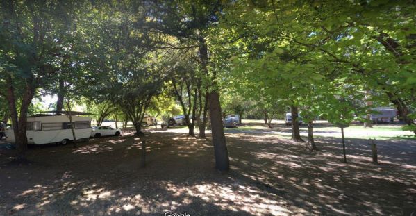
Tawonga Caravan Park location map
, , , , , , , , , ,
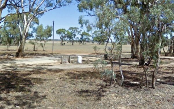
Teddywaddy Rest Area
The Teddywaddy Rest Area is a gravel area with a fireplace, picnic table and rubbish bin. Entrance to the Teddywaddy Rest Area Teddywaddy Rest Area location map
The Fort O'Hare Camping Area on the banks of the Glenelg River, pet friendly, drop toilets, a few fire pits, and picnic tables scattered around, you will also find an Honesty box at local store for camp fees. When it town be sure to have a look at the woo ...
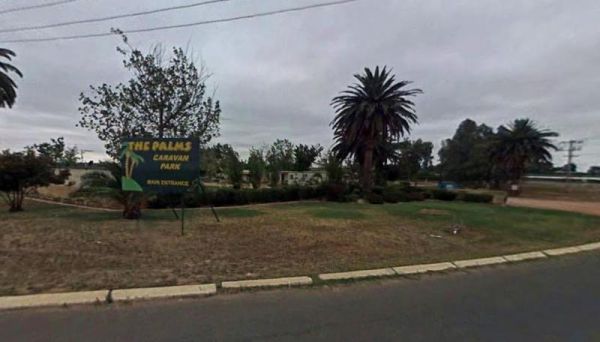
Entrance to the The Palms Caravan Park The Palms Caravan Park location map
, , , , , , , , , , ,
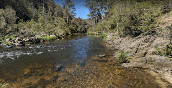
The Pines Campground is a very basic campsite located next to the Big River, you will need to bring everything you need with you, and take your rubbish when you leave. The Pines Campground location map
, ,
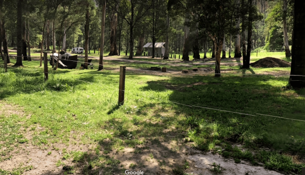
The Poplars Camping Ground
The Poplars Camping Ground has plenty of camping spots, a drop toilet and picnic tables ad fireplaces dotted throughout this campground, and close to the Loch River for those who want to take photos, or a bit of angling. The Poplars Camping Ground Th ...
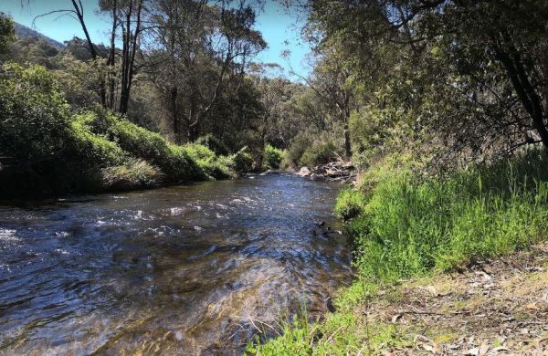
The Walnuts Campground
The Walnuts Campground is a nice grassy area with fireplaces and picnic tables next to the Snowy Creek. Overnight camps are permitted here, and it's a wonderful place for photography and maybe catch a fish for dinner. Entrance to the Walnuts Campground ...
, , ,
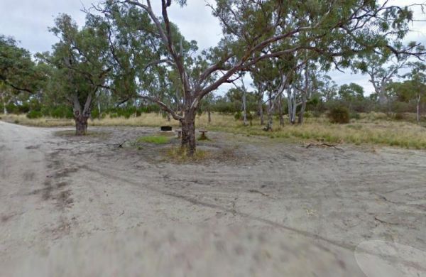
The Wattles Camping Area has a few suitable camp sites available, but it's better suited for campervans than caravans. Entrance to the Wattles Camping Area The Wattles Camping Area location map
, ,
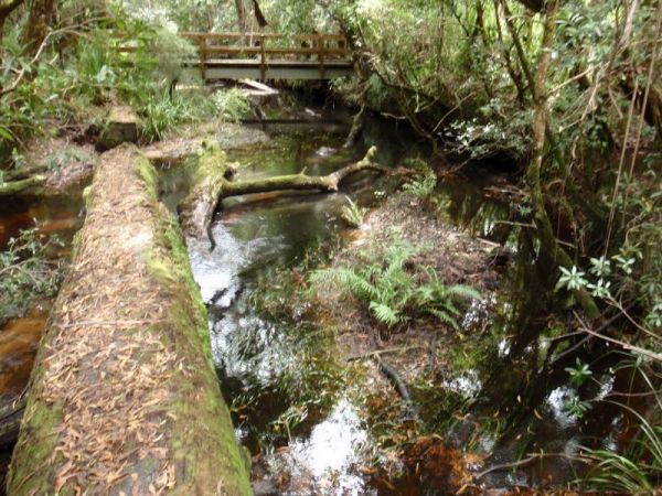
The Thurra River Rest Area has water on tap, but please treat it first before drinking, there are also picnic tables and a few BBQ's, there is also has a nice walk along the Drummer Creek, remember to take your camera with you. Entrance to the Thurra Riv ...
, ,
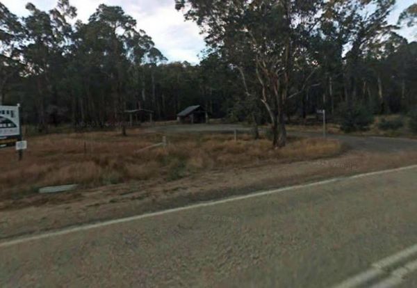
The Tolmie Rest Area has a toilet and a picnic table and overnight Camping is permitted here, there is a pub approx 100 metres from this rest spot. Entrance to Tolmie Rest Area Tolmie Rest Area location map
, , , ,
The Tongala Turnoff Rest Area is not far from Henderson Road, here you will find a wood fired BBQ, a picnic table and a rubbish bin, all set a short distance from the Murray Valley Highway. Entrance to the Tongala Turnoff Rest Area Tongala Turnoff Res ...
, ,
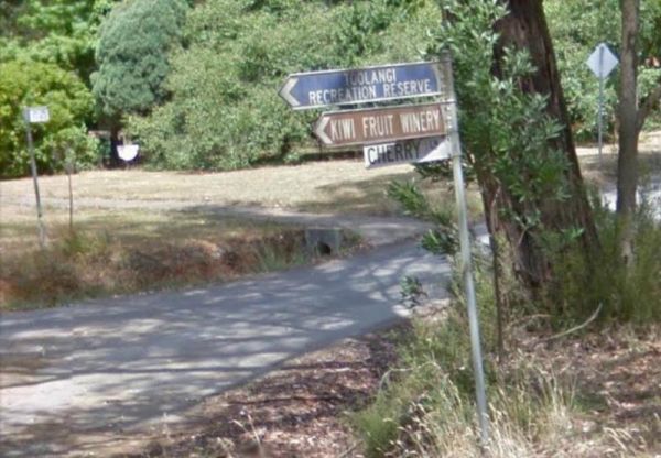
The Toolangi Streamside Reserve is fairly close to the Yea River, and there is a 24 hour stopover limit. There are toilets and rubbish bins here to make your visit pleasant. Toolangi Streamside Reserve location map
, ,
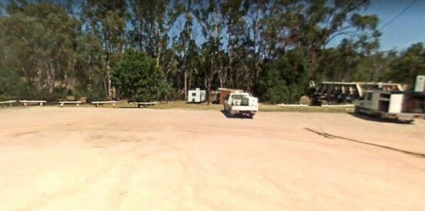
The Tooleybuc Park has a large gravel area to park your van or motorhome, and its close to the Tooleybuc bridge over the Murray River, and conveniently located across the road from a pub, so you can grab a meal while stopping here. Entrance to the Tooley ...
, , , ,
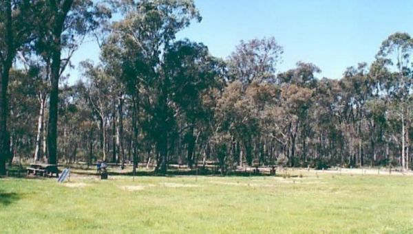
Entrance to the Toora Tourist Park Toora Tourist Park location map
, , , , , , , , , , , , , , ,
The Tooradin Foreshore Reserve is now a very active boat launching spot, the victorian government has removed boat launching fees for this location, and as such, parking is at a premium Entrance to the Tooradin foreshore camping Tooradin foreshore cam ...
, , , , ,
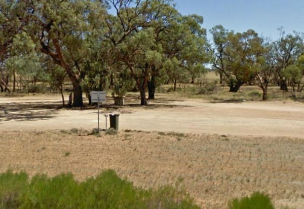
The Torneys Tank Bushland Reserve Rest Area is set back on gravel road just off the Calder Highway, with picnic tables and rubbish bins. Take a break from driving and grab a bite to eat. There is plenty of room for even the largest of rigs. Entrance to t ...
, , ,
Entrance to the Torquay Foreshore Caravan Park Torquay Foreshore Caravan Park location map
, , , , , , , , , ,
The Torquay Taylor Park Rest Area is a nice location next to the Ocean, Entrance to the Torquay Taylor Park Rest Area Torquay Taylor Park Rest Area location map
, , , ,
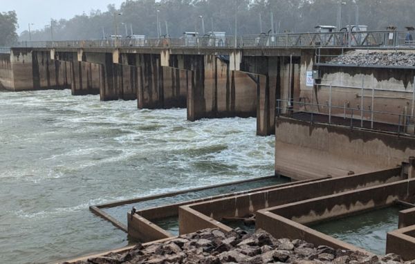
The Torrumbarry Weir Camping Area is a rough bush camp with plenty of spots to choose from close the Murray River. Be sure to pop over to the Weir gates and take your camera with you for a good photographic opportunity. Entrance to the Torrumbarry Weir C ...
The Traralgon Rest Area (West) Entrance to the Traralgon Rest Area (West) Traralgon Rest Area (West) location map
,
The Trawalla State Forest Rest Area is on the verge of the Western Highway. There is plenty of room to park your caravan or motorhome. Also a couple of rubbish bins and picnic table, pus a fer walking tracks into the State Forest. Entrance to the Trawall ...
,
Tunnel Bend Camping Area
The Tunnel Bend Camping Area is located on the Howqua River. Checkout the surrounding hills for signs of the early gold mining activities such as the tunnel in the photos which diverted water so the Old timers could mine for gold. Tunnel Bend Camping Are ...
The Tunnel Bend Reserve Camping Area has toilets and plenty of choices to camp. There are also fire pits at this campsite which is located on the banks of the Upper Goulburn River. Entrance to the Tunnel Bend Reserve Camping Area Tunnel Bend Reserve C ...
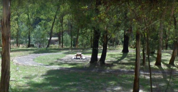
The Twelve Mile Reserve Camping Area has some new picnic tables and public toilet. There's a fair bit of room to park near the Upper Goulburn River, so fishing kayaking and general relaxing is the order of the day. Entrance to the Twelve Mile Reserve Cam ...
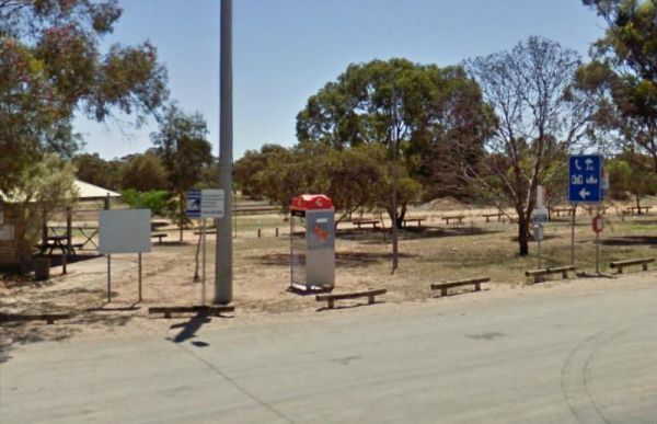
The Underbool Park has plenty of room to park, public toilets and undercover bbq and picnic tables. There is also a public phone booth and a pub within walking distance. Entrance to the Underbool Park Underbool Park location map
, , ,
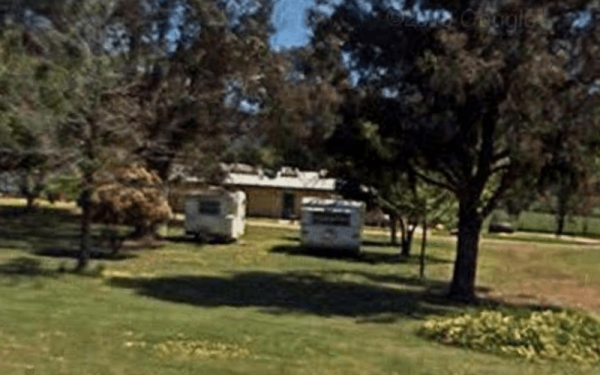
Entrance to the Valley View Caravan Park Valley View Caravan Park location map
, , , ,
The Vennells Camping Area Upper is on the banks of the Big River and there is not a lot of tent space available and best suited to 4x4's Vennells Camping Area Upper location map
The Vennells Camping Ground Lower is on the banks of the Big River. This campsite is best suited to vehicle based camping, as there is not a lot of suitable campsites available. Try out the kayak or try to catch a trout or two, it's up to you. Vennells C ...
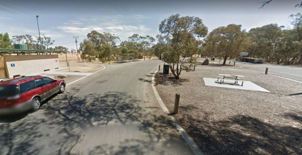
Victoria - South Australia Border Rest Area
The Victoria - South Australia Border Rest Area is a very large area, with plenty of shade and picnic tables. There are quite a few rubbish bins, an undercover picnic table, and a toilet block with wheelchair facilities. Entrance to the Victoria - South ...
, , ,
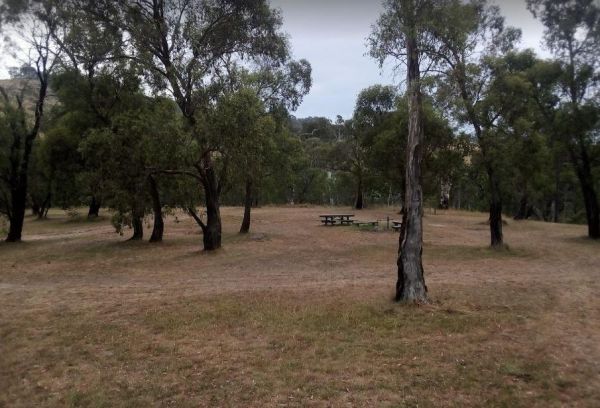
The Victoria Falls Campground has plenty of nice grassy camping spots to choose from, fixed fire places, a drop toilet, and a creek nearby to make this a beautiful spot to camp at. Victoria Falls Campground location map
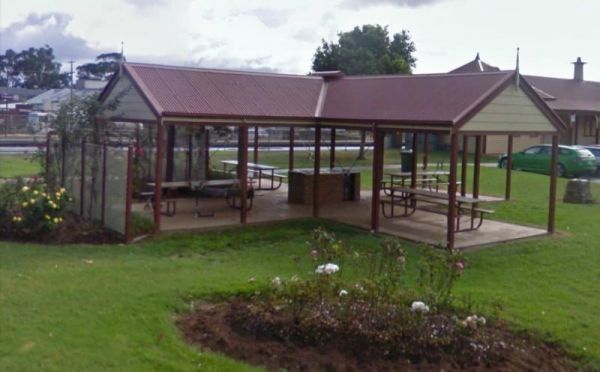
The Victory Park is located opposite the main Shopping strip. Great place to stop, grab a bite to eat, or stock up on food for your trip. Entrance to the Victory Park Victory Park location map
, , ,
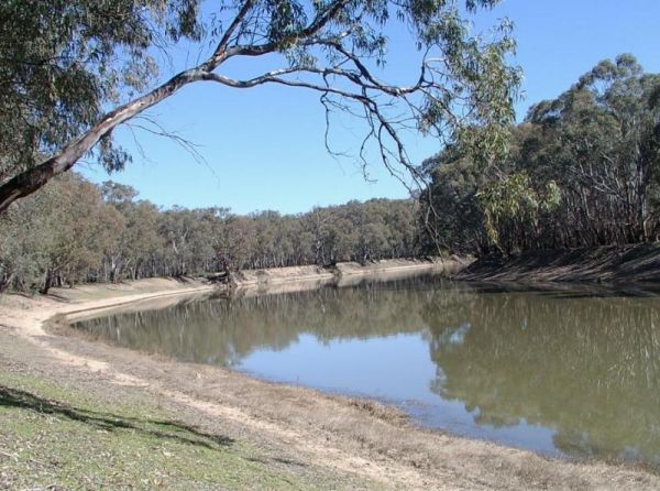
The Vinifera State Forest Camping Area is a basic bush camp on the banks of the Murray River. Fishing, Kayaking, photography and simply relaxing are the highlights when you camp here. Vinifera State Forest Camping Area location map
, , ,
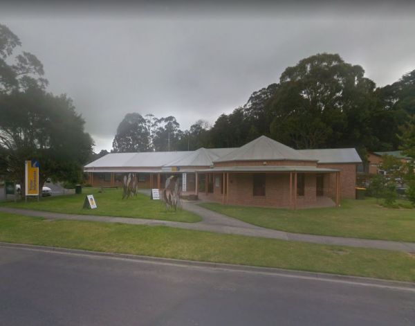
Visit Prom Country Information Centre, has Free Wi-Fi, very helpful and informative staff who will make sure you enjoy your visit to the area. They will also help you find the best accommodation to suite your needs.There is also plenty of room to park al ...
, , , , ,
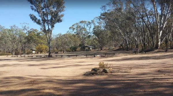
The Waanyarra Camping Grounds has lots of potential spots to pitch a tent or park a caravan. Try your luck at finding a few flakes of gold in the nearby Jones Creek, but don't get your hopes up if your a fisherman, as lack of water is a bit of a problem h ...
, ,
The Wail Rest Area and picnic ground has an undercover picnic table. There is ample room for your dog to have run, and lots of room to park your rig. Entrance to the Wail Rest Area Wail Rest Area location map
,
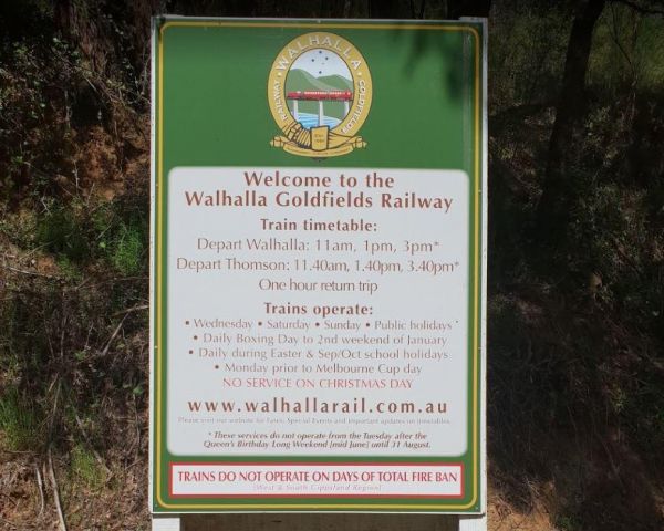
The Walhalla North Gardens is a lovely free campground in a nice historic location, linked back to the gold rush era, there are old mines and workings to explore in the area. A one hour sightseeing trip on the Walhalla train is well worth it. Entrance to ...
, , ,
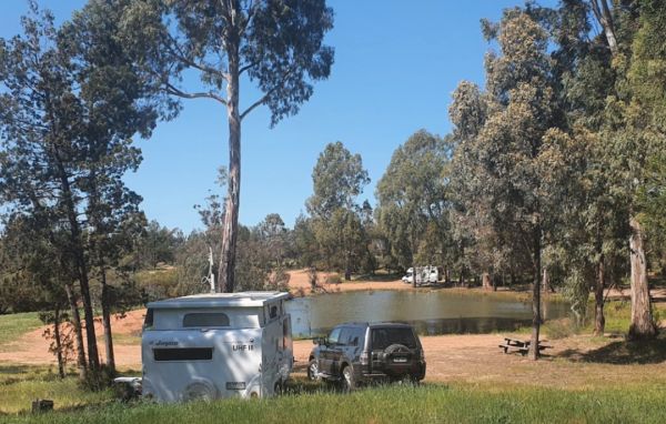
The Walpeup Lake Camping Area Walpeup Lake Camping Area location map
,
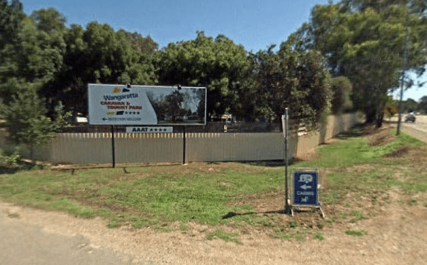
Wangaratta Caravan & Tourist Park
Entrance to the Wangaratta Caravan & Tourist Park Wangaratta Caravan & Tourist Park location map
, , , , , , , , , , , , ,
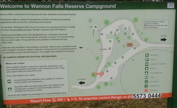
The Wannon Falls has a nice flat free Campground with plenty of tent and caravan spots. You will find an undercover shelter with picnic tables and a fireplace set in the brick wall. drop toilets, there is also non potable water available. When your here t ...
, ,
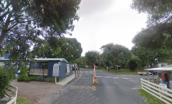
Waratah Bay Caravan Park
Entrance to the Waratah Bay Caravan Park Waratah Bay Caravan Park location map
, , , , , , , , ,
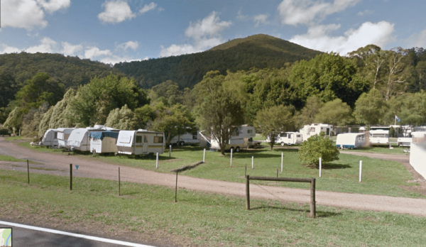
Entrance to the Warburton Caravan Camping Park Warburton Caravan Camping Park location map
, , , , , , , , , ,
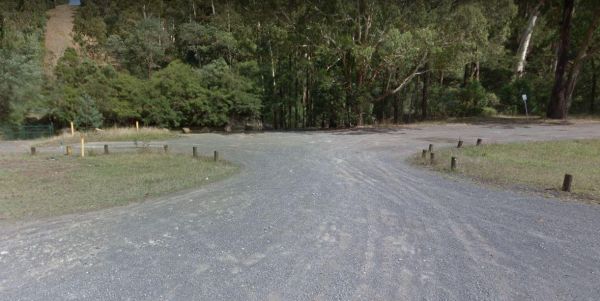
Warburton East Rest Area
The Warburton East Rest Area is a long gravel road next to the Yarra River. You can try fishing, or simply go for a short walk to stretch your legs with your camera in hand. Entrance to the Warburton East Rest Area Warburton East Rest Area location ma ...
, , ,
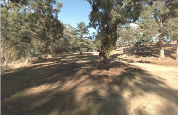
The Warburtons Bridge is a good free Campsite with a drop toilet, picnic tables and firepits is a quiet picturesque place. The Loddon River has yabbies, redfin and trout an blackfish This campsite is located approx 15km from Yarram and 5km from Won Wron i ...
The Wartook Forest Camping Area Entrance to the Wartook Forest Camping Area Wartook Forest Camping Area location map
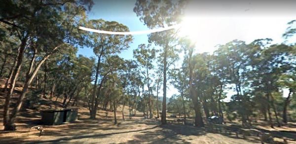
The Waterfalls Picnic and Campground has plenty of camping spots. Lots of picnic tables and fireplaces, and a drop toilet. Also you have quite a few hiking tracks to choose from, including an 18 km Pyrenees Endurance Walk. Entrance to the Waterfalls Picn ...
, , ,
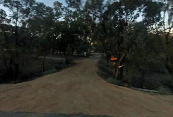
The Watts Bend Camping Area Watts Bend Camping Area location map
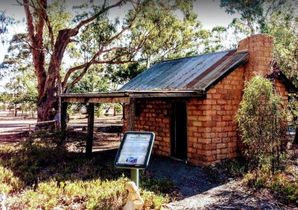
Wedderburn Pioneer Caravan Park
Entrance to the Wedderburn Pioneer Caravan Park Wedderburn Pioneer Caravan Park location map
, , , , , , ,
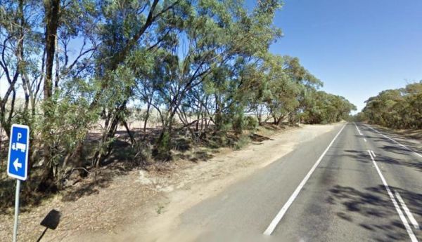
Wedderburn West Rest Area
The Wedderburn West Rest Area is not the safest of places if you have young children or pets with you. Its located on the narrow verge of the road. Entrance to the Wedderburn West Rest Area Wedderburn West Rest Area location map
,
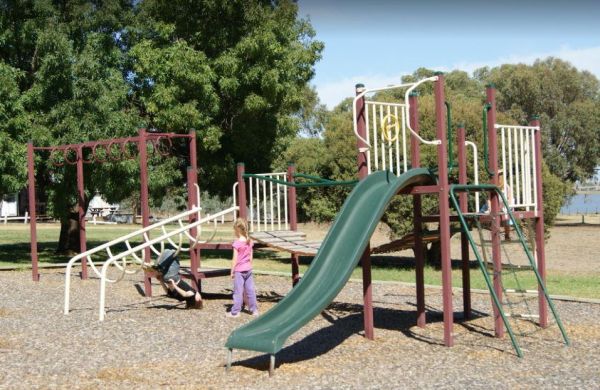
Welshmans Reef Caravan Park
Welshmans Reef Caravan Park location map
, , , , , , ,
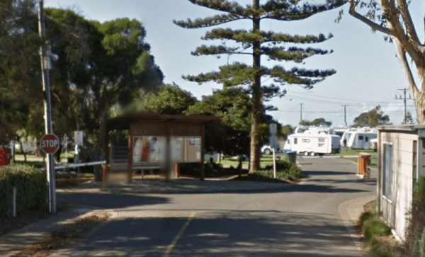
Werribee South Beach Caravan Park
Entrance to the Werribee South Beach Caravan Park Werribee South Beach Caravan Park Location map
, , , , , , , ,
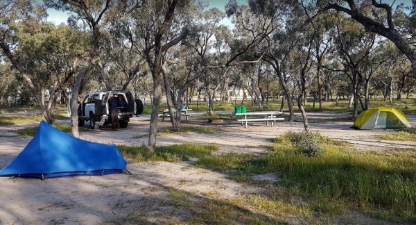
The Western Beach Camping Area has excellent toilets with lighting and tank water on tap. Western Beach Camping Area location map
, , ,
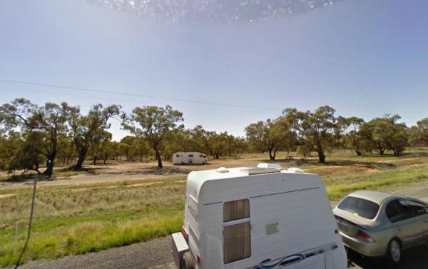
The Wharparilla Flora Reserve Rest Area Entrance to the Wharparilla Flora Reserve Rest Area Wharparilla Flora Reserve Rest Area location map
,
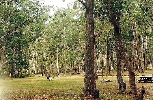
The White Womans Waterhole is a free campsite where fires are permitted, this is a large open area 4 kms from main road.drop toilet, remember to bring your own water. P.S. There is some interesting bit of local history attached here, and a few short walks ...
,
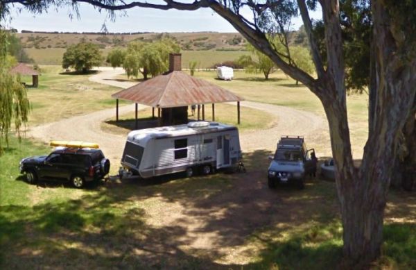
The Willow Park Free Camping area is a Free 24 Hour stop over. The Latrobe River has very large carp for the anglers out there. There is also a walking track into the township for the more active amongst us. Entrance to the Willow Park Free Camping Wi ...
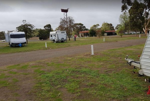
The Wimmera Lakes Caravan Resort Entrance to the Wimmera Lakes Caravan Resort Wimmera Lakes Caravan Resort location map
, , , , , , , , , , , , , , , , ,
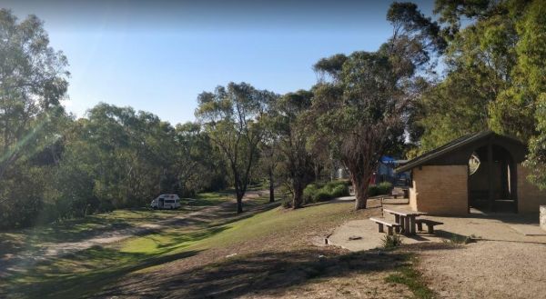
Winchelsea Park Rest Area
The Winchelsea Park Rest Area runs along the Barwon river, with lots of places to camp. There are public toilets and picnic tables at the Willis Street end. Entrance to the Winchelsea Park Rest Area Winchelsea Park Rest Area location map
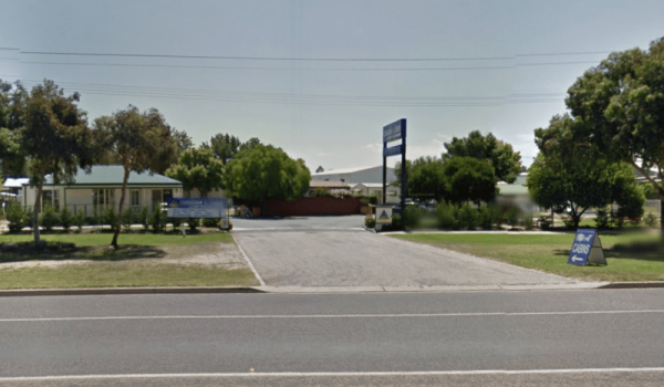
Entrance to the Wodonga Caravan & Cabin Park Wodonga Caravan & Cabin Park location map
, , , , , , , ,
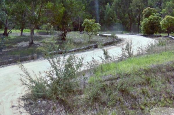
The Won Wron North Rest Area is set back a short distance from the Hyland Highway, it's a reasonably quiet stopover for a picnic. Entrance to the Won Wron North Rest Area Won Wron North Rest Area location map
,
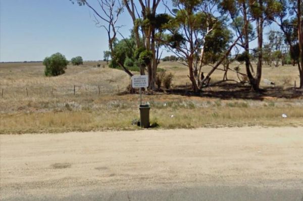
Wycheproof North Rest Area 1
The Wycheproof North Rest Area 1 is just a place to pull over if your feeling tired, then on your way again. Entrance to the Wycheproof North Rest Area 1 Wycheproof North Rest Area 1 location map
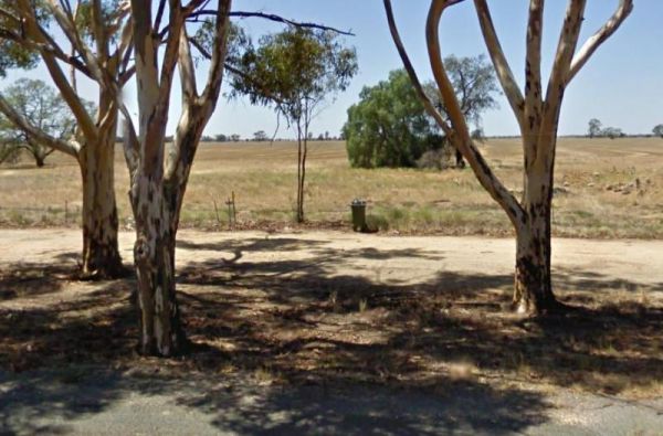
Wycheproof North Rest Area 2
The Wycheproof North Rest Area 2 is a gravel section just off the Calder Highway has a few trees offering limited shade and a rubbish bin. Entrance to the Wycheproof North Rest Area 2 Wycheproof North Rest Area 2 location map
Wycheproof South Rest Area
The Wycheproof South Rest Area Entrance to the Wycheproof South Rest Area Wycheproof South Rest Area location map
,
The Wyuna Rest Area is not far from McCoys Bridge which spans the Goulburn River. So if your up for a short walk you could try fishing, or grab your camera and take a few photos. Entrance to the Wyuna Rest Area Wyuna Rest Area location map
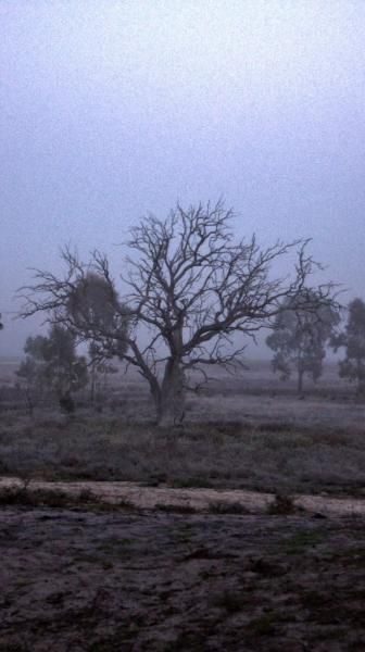
The Yaapeet Beach Camping Area, definitely not a good fishing destination. On average Lake Albacutya fills every twenty years or so. If you intend to camp here, bring plenty of drinking water with you. Yaapeet Beach Camping Area location map
, , ,
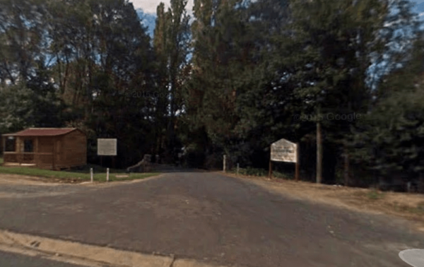
Yackandandah Holiday Park
Entrance to the Yackandandah Holiday Park Yackandandah Holiday Park location map
, , , , , ,
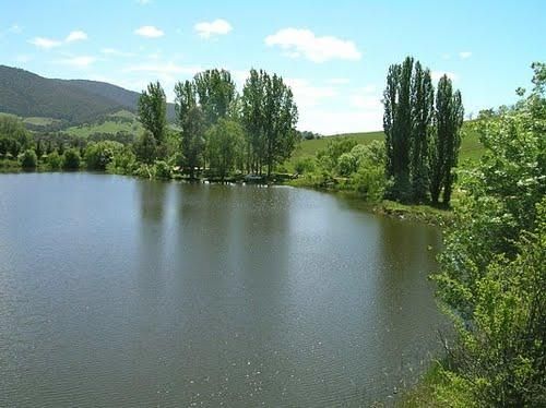
Yackandandah Lake Picnic Reserve
The Yackandandah Lake Picnic Reserve is on the edge of the Allans Flat Waterhole, so there is a good chance you can catch a fish for dinner here, or maybe take a plunge and go for a swim instead.This artificial lake was created by Gold miners in the 1850s ...
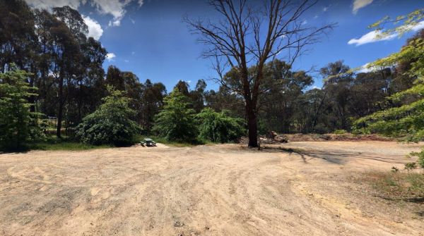
The Yackandandah North Rest Area Entrance to the Yackandandah North Rest Area Yackandandah North Rest Area location map
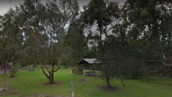
Yallock Creek Rest Area
The Yallock Creek Rest Area has room to park your van, an undercover picnic table and a few BBQ's to help take the stress out of driving. Entrance to the Yallock Creek Rest Area Yallock Creek Rest Area location map
,
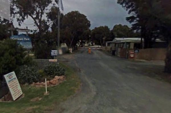
Entrance to the Yanakie Caravan Park Yanakie Caravan Park location map
, , , , , , , , ,
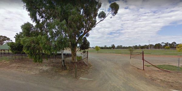
Yarrawonga - Free Dump Point
Entrance to the Yarrawonga - Free Dump Point Yarrawonga - Free Dump Point location map
, ,
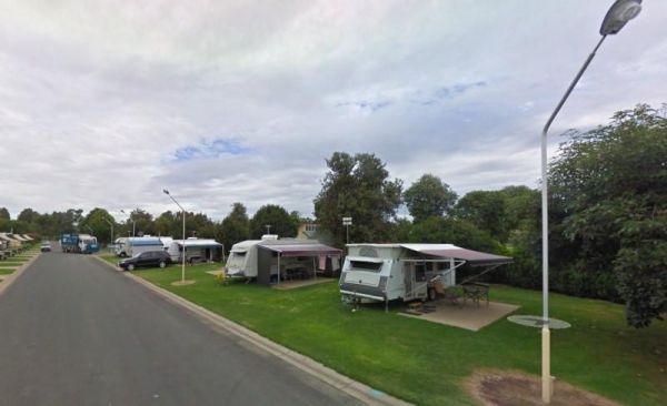
Yarrawonga Holiday Park
Entrance to the Yarrawonga Holiday Park Yarrawonga Holiday Park location map
, , , , , , , , , , , , ,
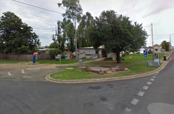
Yarrawonga Mulwala Visitor Information Centre
The Yarrawonga Mulwala Visitor Information Centre Parking is limited for caravans and motorhomes, but you can park in the side streets fairly close to the venue. Entrance to the Yarrawonga Mulwala Visitor Information Centre Yarrawonga Mulwala Visitor ...
, ,
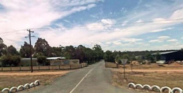
Yarrawonga Westside Caravan Park
Entrance to the Yarrawonga Westside Caravan Park Yarrawonga Westside Caravan Park location map
, , , , , , , ,
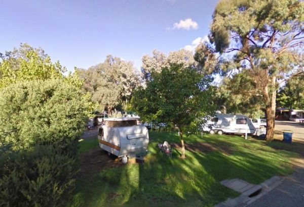
Entrance to the Yea Riverside Caravan Park Yea Riverside Caravan Park location map
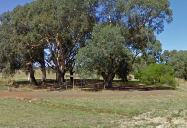
Yuppeckiar Park Rest Area
The Yuppeckiar Park Rest Area is a short distance from the Glenelg Highway, Be careful if you decide to park on the grass area, as there is a ditch sometimes hidden and you will get bogged there if towing a caravan. Entrance to the Yuppeckiar Park Rest A ...
, , ,