Victoria: A-Z
The Willow Park Free Camping area is a Free 24 Hour stop over. The Latrobe River has very large carp for the anglers out there. There is also a walking track into the township for the more active amongst us. Entrance to the Willow Park Free Camping Wi ...


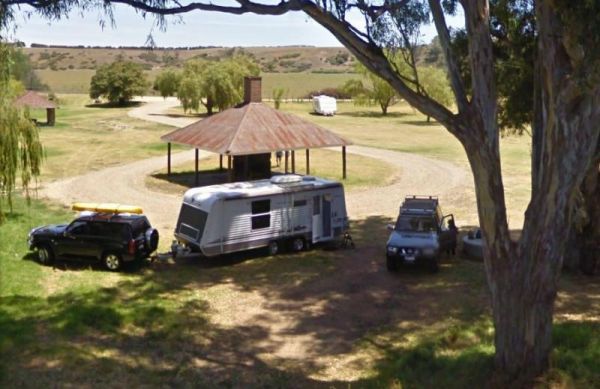
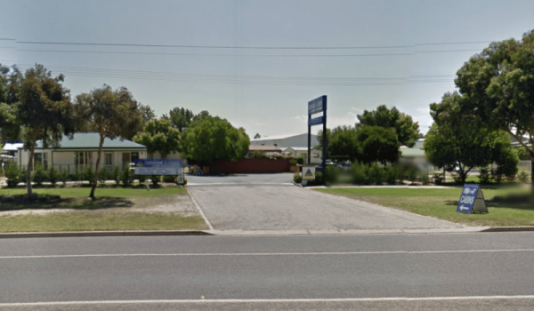
The Wimmera Lakes Caravan Resort Entrance to the Wimmera Lakes Caravan Resort Wimmera Lakes Caravan Resort location map
 ,
,  ,
,  ,
,  ,
,  ,
,  ,
,  ,
,  ,
,  ,
,  ,
,  ,
,  ,
,  ,
,  ,
,  ,
,  ,
,  ,
, 
Winchelsea Park Rest Area
The Winchelsea Park Rest Area runs along the Barwon river, with lots of places to camp. There are public toilets and picnic tables at the Willis Street end. Entrance to the Winchelsea Park Rest Area Winchelsea Park Rest Area location map
Wingan Inlet Campground
Wingan Inlet Campground is a series of smaller camping areas, and its a fair walk to the beach, approx 1.5km, but well worth it when you get there. Wingan Inlet Campground location map
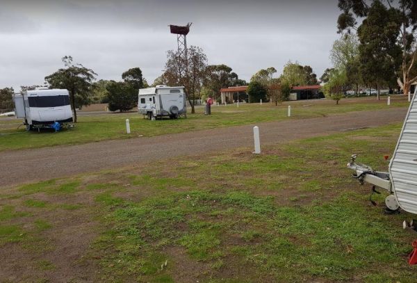
Entrance to the Wodonga Caravan & Cabin Park Wodonga Caravan & Cabin Park location map
, , , , , , ,  ,
,
The Won Wron North Rest Area is set back a short distance from the Hyland Highway, it's a reasonably quiet stopover for a picnic. Entrance to the Won Wron North Rest Area Won Wron North Rest Area location map
,
Wonnangatta Valley Camping Area
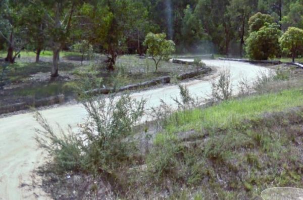
The Wonnangatta Valley Camping Area is a dedicated 4x4 enthusiasts camp. There is some history at this campsite and you can read the plaques to get an idea as to what it was like back when this land was settled. Please take extreme care visiting here, the ...
The Wonthaggi Visitor Information Centre is also a an Art Gallery, and a Gift shop, showing creative works from some of the local artists. It's worth stopping simply to check out the artwork, and get some expert advice on thing to see and do in Wonthaggi. ...
,
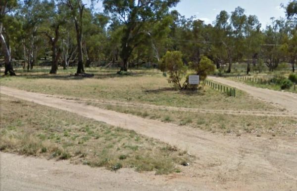
The Wood Wood Rest Area has NO CAMPING signs, so remember this if you intend to stop for an hour or two. It's also a bit on the tight side if your towing a van. Entrance to the Wood Wood Rest Area Wood Wood Rest Area location map
Wycheproof North Rest Area 1
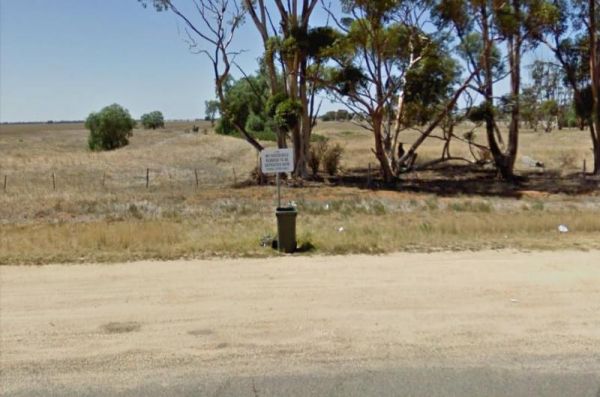
The Wycheproof North Rest Area 1 is just a place to pull over if your feeling tired, then on your way again. Entrance to the Wycheproof North Rest Area 1 Wycheproof North Rest Area 1 location map
Wycheproof North Rest Area 2
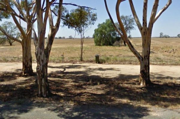
The Wycheproof North Rest Area 2 is a gravel section just off the Calder Highway has a few trees offering limited shade and a rubbish bin. Entrance to the Wycheproof North Rest Area 2 Wycheproof North Rest Area 2 location map
Wycheproof South Rest Area
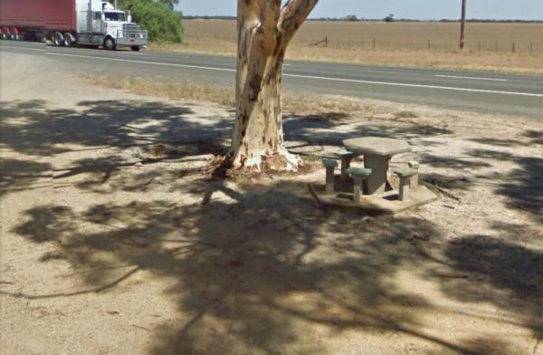
The Wycheproof South Rest Area Entrance to the Wycheproof South Rest Area Wycheproof South Rest Area location map
,
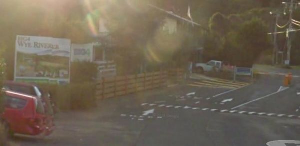
Entrance to the Wye River Holiday Park BIG4 Wye River Holiday Park BIG4 location map

The Wyuna Rest Area is not far from McCoys Bridge which spans the Goulburn River. So if your up for a short walk you could try fishing, or grab your camera and take a few photos. Entrance to the Wyuna Rest Area Wyuna Rest Area location map
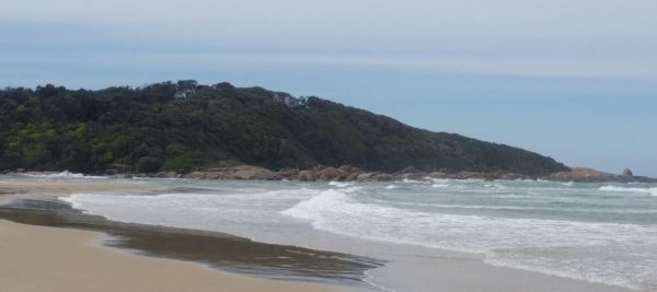
The Yaapeet Beach Camping Area, definitely not a good fishing destination. On average Lake Albacutya fills every twenty years or so. If you intend to camp here, bring plenty of drinking water with you. Yaapeet Beach Camping Area location map
, ,  ,
,
Yackandandah Holiday Park
Entrance to the Yackandandah Holiday Park Yackandandah Holiday Park location map
, , , , , ,
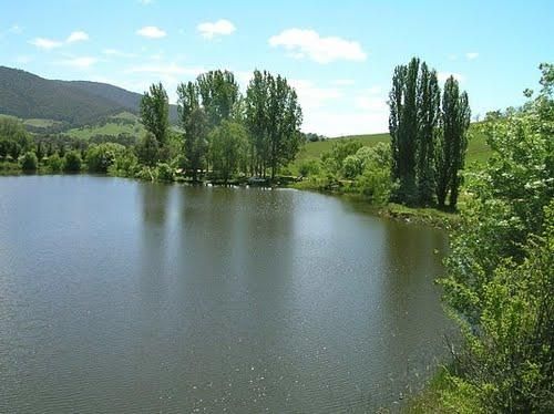
Yackandandah Lake Picnic Reserve
The Yackandandah Lake Picnic Reserve is on the edge of the Allans Flat Waterhole, so there is a good chance you can catch a fish for dinner here, or maybe take a plunge and go for a swim instead.This artificial lake was created by Gold miners in the 1850s ...
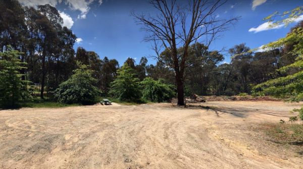
The Yackandandah North Rest Area Entrance to the Yackandandah North Rest Area Yackandandah North Rest Area location map
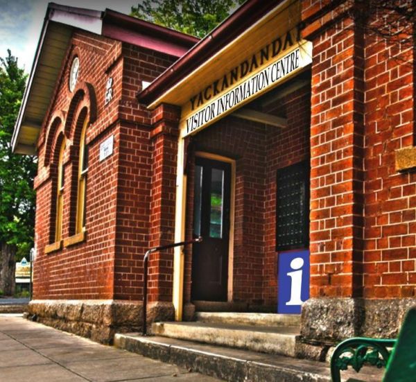
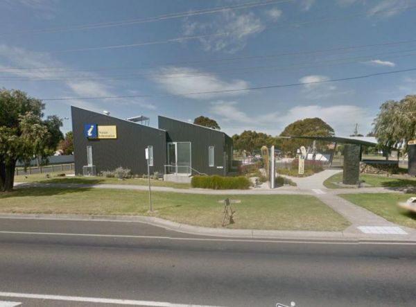
Yackandandah Visitor Information Centre
The Yackandandah Visitor Information Centre is right in the middle of town. There is a bit of history here, going back to the gold rush days, with a quaint, old world feel to main street. Entrance to the Yackandandah Visitor Information Centre Yackand ...
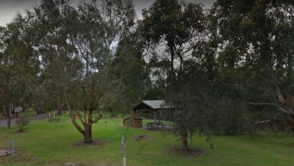
Yallock Creek Rest Area
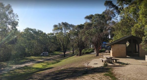
The Yallock Creek Rest Area has room to park your van, an undercover picnic table and a few BBQ's to help take the stress out of driving. Entrance to the Yallock Creek Rest Area Yallock Creek Rest Area location map
,