Victoria: A-Z
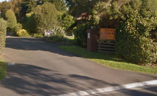
The Seaview Holiday Park Dogs are not allowed at the park on Labour Day Weekend, Easter Weekend, Boxing Day- right through to Australia Day. Every other day dogs are allowed Entrance to the Seaview Holiday Park Seaview Holiday Park location map
 ,
,  ,
,  ,
, 
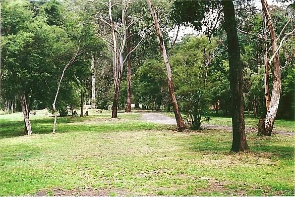
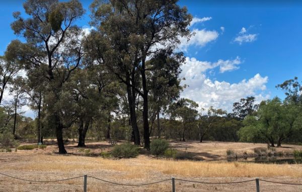
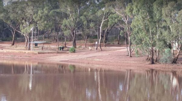
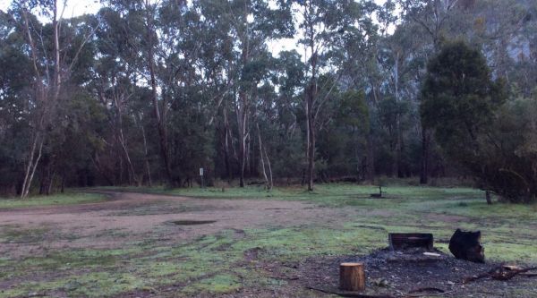
The Sennis Campground is located on the Tyers River has plenty of wildlife visiting this campsite, including wombats, lyrebirds, rock wallabies etc. For the fishermen and women, trout, eels, and crayfish are often caught from the Tyres River. The road in ...
 ,
,  ,
,  ,
, 
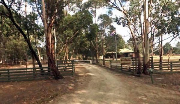
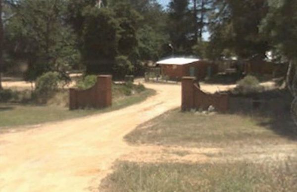
Settlers Rest Caravan Park
Entrance to the Settlers Rest Caravan Park Settlers Rest Caravan Park location map
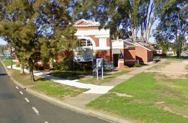
The Seymour Regional Visitor Information Centre is located in the Old Court House historic building. There is als a small art gallery to look at when you visit here. Entrance to the Seymour Regional Visitor Information Centre Seymour Regional Visitor ...
, ,
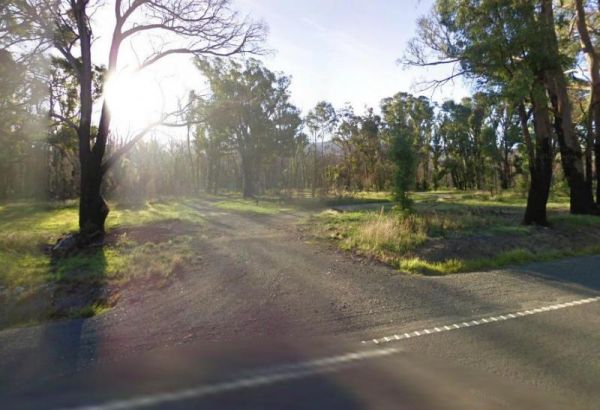
The Shadbolts Picnic Area is between Eaglehawk-Neilborough Road and Skylark Road and close to the Raywood Channel. There is not a lot to do here, however there are a few areas, to walk to and explore for the more adventurous out there. Entrance to Shadbo ...
,
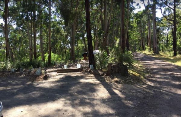
The Sharps Track Camping Area has 6 official campsites that are best suited to tents. There are no toilets, and No Dogs allowed. I have had reports that this place is rather trashy, with toilet paper being strewn close to campsites. Sharps Track Camping ...
Sheepwash Lagoon Rest Area
The Sheepwash Lagoon Rest Area has a few picnic tables and rubbish bins, set next o the lagoon which might have a few yabbies or eels in it, who knows, maybe try your luck, and let us know about your results, Entrance to the Sheepwash Lagoon Rest Area ...
, 
Sheepyard Flat Camping Area
The Sheepyard Flat Camping Area is a large area with many campsites to choose from. During the summer months an ice truck loaded with all sorts of goodies frequents the campground. Plenty of grassy areas to choose from on the banks of the Howqua River, bu ...
The Sherwoods Dam Rest Area has a warning sign near the water. Algae blooming is common in this area, which will make the water toxic to drink. Entrance to the Sherwoods Dam Rest Area Sherwoods Dam Rest Area location map
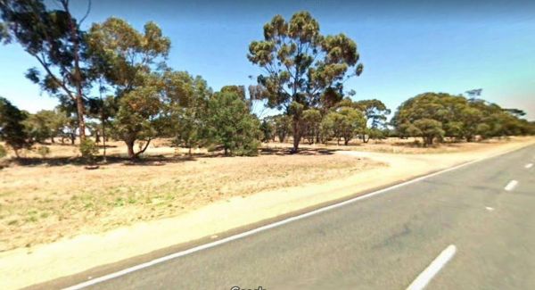
The Silver Gum Reserve Rest Area is set back from the Maroondah Highway and is a place to take a break from driving. Entrance to the Silver Gum Reserve Rest Area https://goo.gl/maps/UKdLSLkMD1YM5Yae8 Silver Gum Reserve Rest Area location map
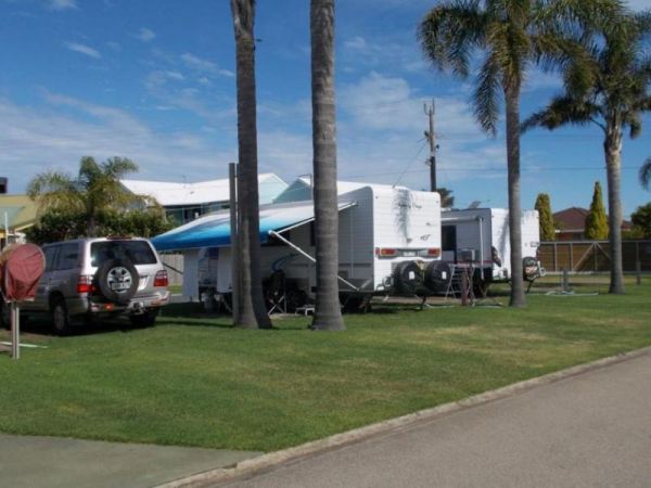
Silver Sands Tourist Park
Entrance to the Silver Sands Tourist Park Silver Sands Tourist Park location map
, ,  ,
,  ,
,  , , , ,
  ,
, 
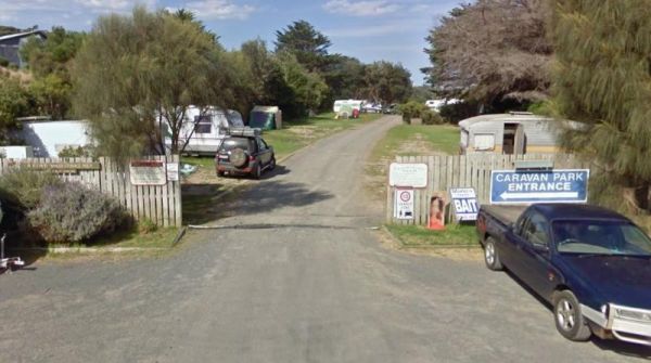
Skenes Creek Beachfront Park
Entrance to the Skenes Creek Beachfront Park Skenes Creek Beachfront Park location map
, , , , ,  ,
,  , , , ,
  ,
,
Skinners Flat Rest Area
The Skinners Flat Rest Area Great camping spot. Very basic amenities (drop toilet), fairly quiet - some road noise from the highway, but not too bad. Can get large vans in easily. Skinners Flat Rest Area 360 Skinners Flat Rest Area location map
, ,
This free campground boasts a pleasant environment, featuring numerous level and grassy camping spots, some equipped with its own fire pit, bring your firewood, and a couple of picnic tables are available for your convenience. There are numerous well-kept ...
, , , ,
Slaty Creek Campground No2
The Slaty Creek Campground No2 is best suited to tents and camper trailers. Take Note: The small creek has no water flowing in it during the summer months. Entrance to the Slaty Creek Campground No2 Slaty Creek Campground No2 location map
, ,
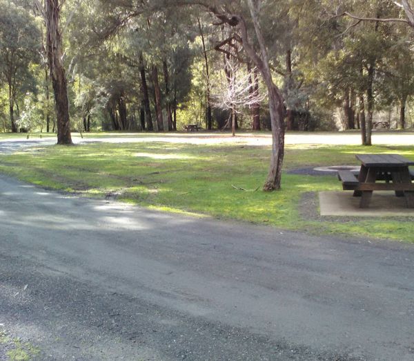
The Smiths Bridge Campground is a large tidy area with fire pits & bbq plate, a drop toilet, picnic tables, an running tap water, with plenty of shade to choose your campsite. Entrance to the Smiths Bridge Campground Smiths Bridge Camping Area loc ...
, , , , 
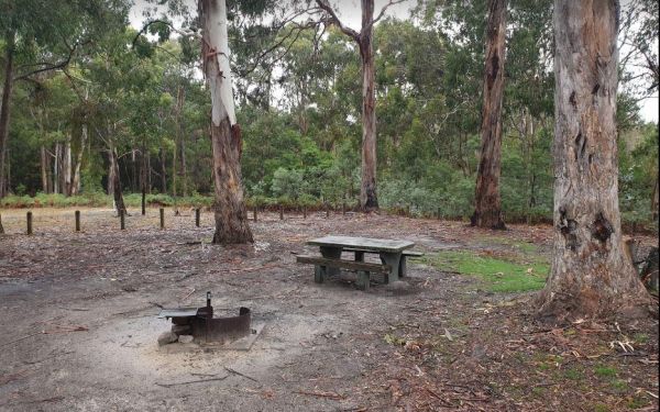
This free camping site can be found a brief drive down an unpaved road, offering a prime riverside location. The campgrounds may get muddy after rain, which could be problematic during wet weather. Some sites have multiple fire pits. It's recommended to b ...
, , ,
Smythesdale Park Rest Area
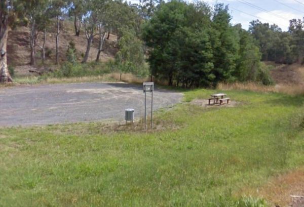
The Smythesdale Park Rest Area has room for caravans and motorhomes. There is a small fee charged for those interested in camping at the Park. Entrance to the Smythesdale Park Rest Area Smythesdale Park Rest Area location map
, , ,
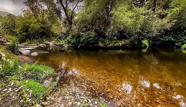
Snowy Creek Campground
The Snowy Creek Campground is located on the banks of the Snowy Creek, with bush-walking, photography etc, all available from this camp site. Snowy Creek 360 Snowy Creek Camping Area location map
Entrance to the Snowy River Rest Area No 1 is just off Marlo Road with a large grassy area to park on, and the Snowy River on your doorstep. So pull out your fishing rod and good luck. Entrance to the Snowy River Rest Area No 1 Snowy River Rest Area N ...
, , ,