Victoria: A-Z
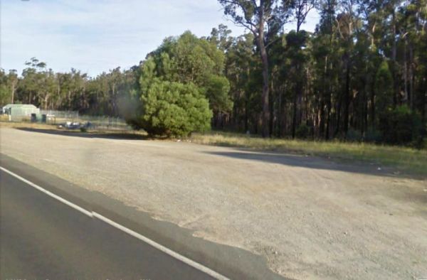
Newmerella Truck Rest Area
Entrance to the Newmerella Truck Rest Area Newmerella Truck Rest Area location map
 ,
, 
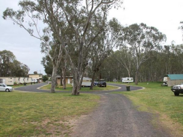
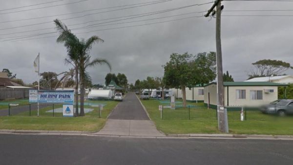
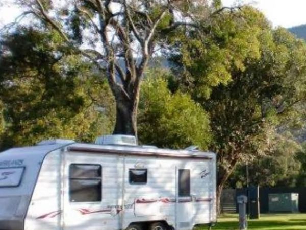
Entrance to the Nhill Caravan Park Nhill Caravan Park location map
 ,
,  ,
,  ,
,  ,
,  ,
,  , , ,
, , ,  ,
, 
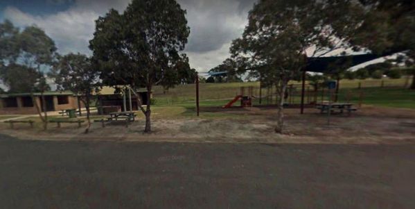
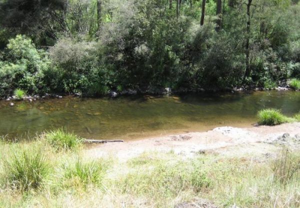
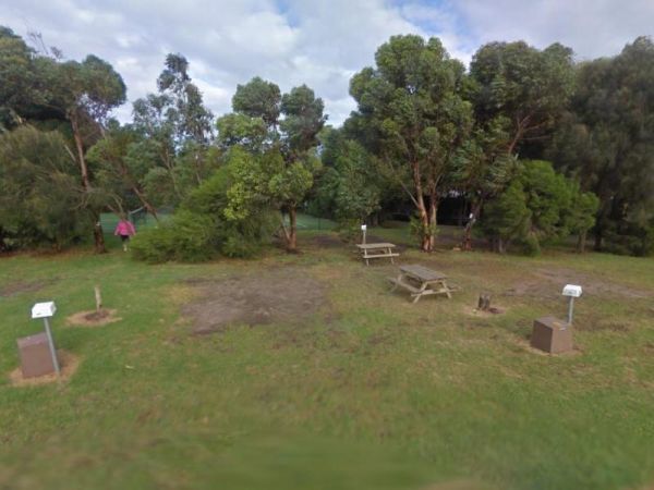
The Nicholson Rest Area is on the Nicholson River, with toilets and picnic tables for your pleasure, there is also water on tap, and fishing at your doorstep, all in all not a bad place to rest for a few minutes. Entrance to the Nicholson Rest Area Ni ...
, , ,  , , ,
, , ,
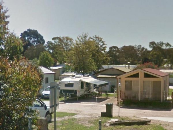
Entrance to the Nicholson River Caravan Park Nicholson River Caravan Park location map
, , ,  , ,
, ,  ,
,  , , , ,
  , ,
, , 
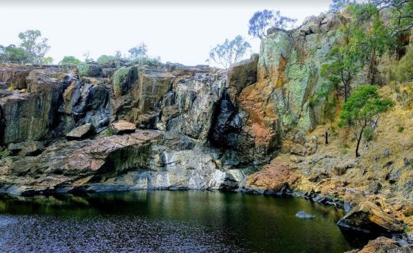
The Nigretta Falls Scenic Reserve is a nice place to visit, with stairs right down to the river. If you want to see the waterfall at its best, make sure you come during the winter season.Please Note: Camping is not permitted, however, 10 minutes up the ro ...
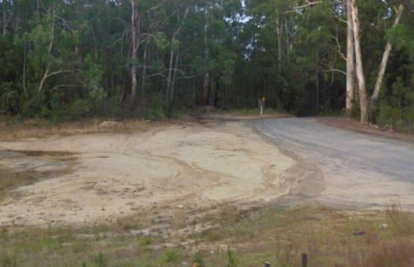
The Nine Mile Creek Rest Area is set back a short distance from the South Gippsland Highway. There are no facilities here, so not much to do apart from take a rest from driving, and stretch your legs. Entrance to the Nine Mile Creek Rest Area Nine Mil ...
 , ,
, ,
Noonans Flat Camping Area
The Noonans Flat Camping Area is a nice bush camp with drop toilets. You are adjacent the Howqua River so fishing and kayaking is available. Busy as peak times. A van visits with basic supplied during the peak season. Noonans Flat Camping Area location m ...

The Noorinbee Rest Area is a designated power nap area, with picnic tables, public toilets and tap water available. Entrance to the Noorinbee Rest Area Noorinbee Rest Area location map
, ,
North Arm Tourist Park
Entrance to the North Arm Tourist Park North Arm Tourist Park location map
, , , , , , ,  , ,
, ,
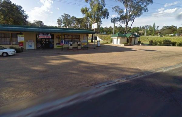
The Nowa Nowa Rest Area is next to the general store, so so can pick up needed food items and fuel up here, then take a few minutes rest, before heading off again on your journey. Entrance to the Nowa Nowa Rest Area Nowa Nowa Rest Area location map
, ,
NRMA Bairnsdale Riverside Holiday Park
The NRMA Bairnsdale Riverside Holiday Park is pet friendly and has a great location next to the Mitchell River, plus its within easy walking to the local shops, and restaurants. Entrance to the NRMA Bairnsdale Riverside Holiday Park NRMA Bairnsdale Ri ...
, , , , , , , ,
The NRMA Bright Holiday Park is located on the banks of Morse’s Creek which flows into the Ovens River all within easy walking distance from your campsite. Entrance to the NRMA Bright Holiday Park NRMA Bright Holiday Park location map
, , , , , ,  , ,
, ,  , , , ,
Entrance to the NRMA Halls Gap Holiday Park BIG4 NRMA Halls Gap Holiday Park BIG4 location map
, ,  , , , , , ,
  ,
,  , , ,
, , ,  , ,
, ,
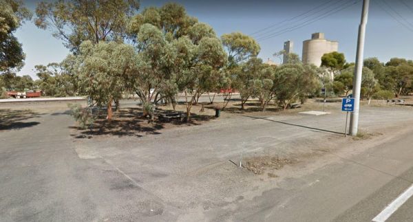
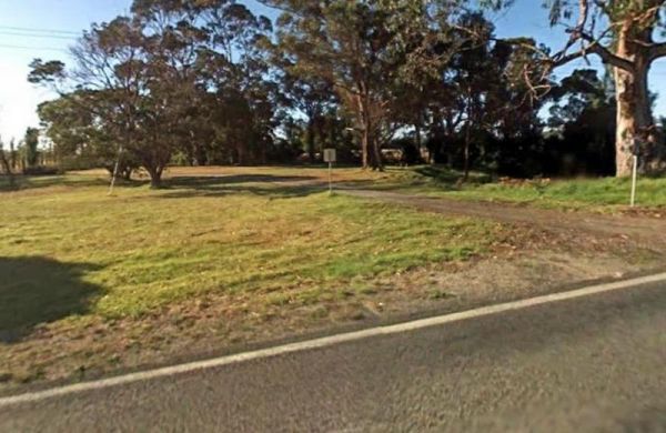
The Nullawil Rest Area is a very large gravel area wedged between the Calder Highway and the railway line. Pop over to the local Cafe across the road while your here. Entrance to the Nullawil Rest Area Nullawil Rest Area location map
,
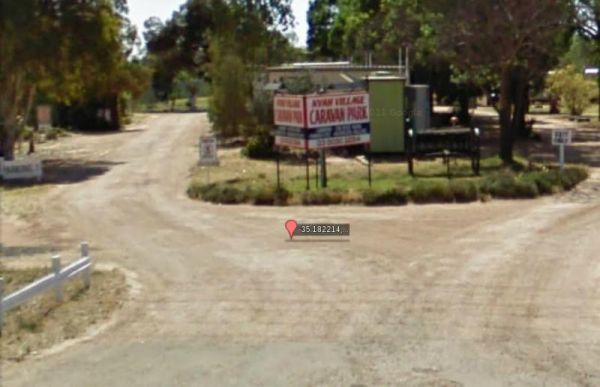
Entrance to the Nyah Village Caravan Park Nyah Village Caravan Park location map
, , , , , ,
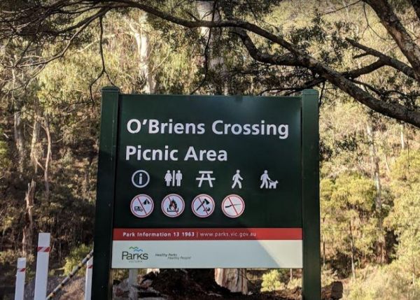
O'Briens Crossing Picnic Area
O'Briens Crossing Picnic Area is no allowing camping here, there is another location further up the road but it's a bit on the scary side to drive it. O'Briens Crossing Picnic Area 360 O'Briens Crossing Picnic Area location map
Ocean Grove Holiday Park
Entrance to the Ocean Grove Holiday Park Ocean Grove Holiday Park location map
, , , , ,  , , ,
, , ,
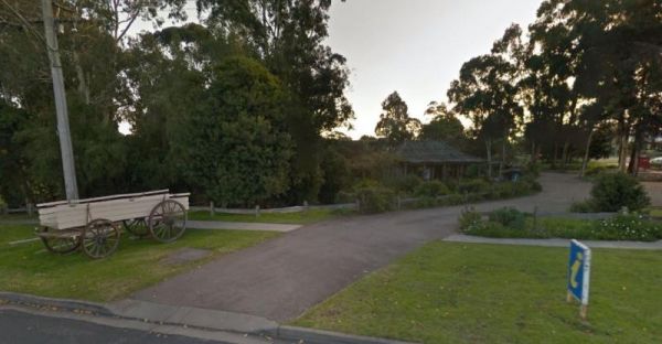
The Orbost Visitor Information Centre building is based on a farmhouse built in the 1800's and re-erected in the 1980's.. Entrance to the Orbost Visitor Information Centre Orbost Visitor Information Centre location map
Otways Tourist Park
Entrance to the Otways Tourist Park Otways Tourist Park location map
, , , , , ,  , , , , , ,
The Ouyen Park has a few picnic tables, and some shade so you can enjoy a break from driving. Entrance to the Ouyen Park Ouyen Park location map
,