Victoria: A-Z
Mansfield Lakeside Ski Village location map
 ,
,  ,
, 
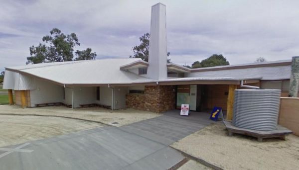
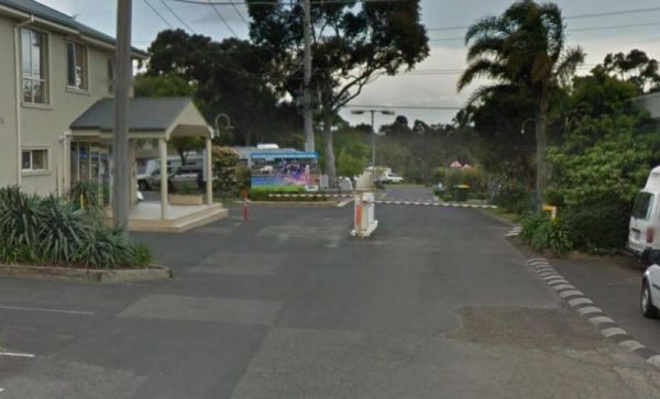
The Mansfield Visitor Information Centre has a large car park. This is a great place for those wishing to get the best out their visit to the highlands, and surrounding area. Entrance to the Mansfield Visitor Information Centre Mansfield Visitor Infor ...

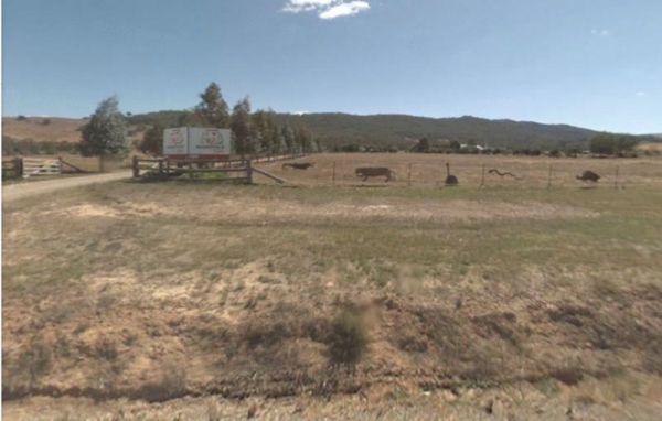
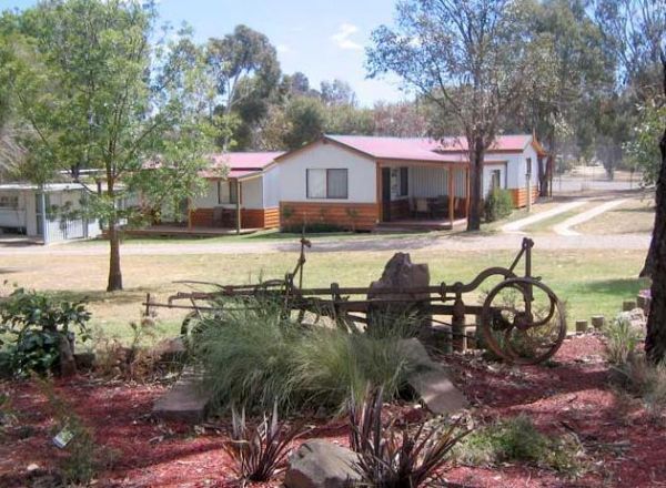
The Mansfield Zoo is one of North East Victoria's hidden secrets, with a large collection of exotic and native animals on 30 acres of picturesque parkland featuring lovely views across the Delatite Valley to Mt Buller. Entrance to the Mansfield Zoo Ma ...
,  ,
,
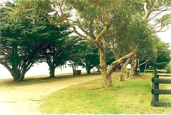
Maramingo Creek Rest Area
The Maramingo Creek Rest Area is on the edge of the Princes Highway. You can take a break at one of the picnic tables along this spot. Rubbish bins are also available. Entrance to the Maramingo Creek Rest Area Maramingo Creek Rest Area location map

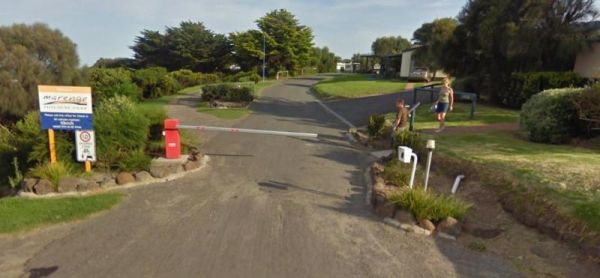
Marengo Holiday Park
Entrance to the Marengo Holiday Park Marengo Holiday Park location map
,  , ,
, ,  ,
,  ,
,  , , ,
, , , 
Entrance to the Marina View Van Village Marina View Van Village location map
, ,  , , ,
, , , 
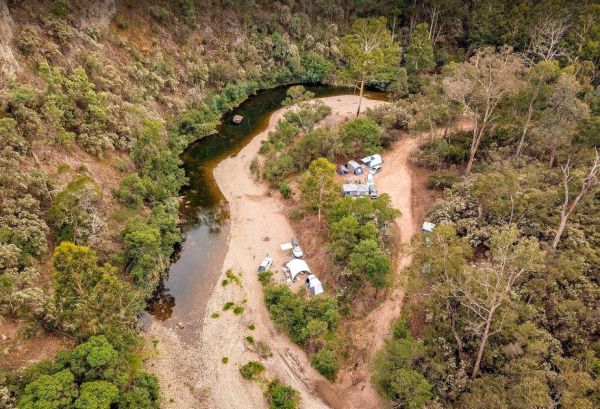
The Marlay Point Free Camping is located approx 18kms from Sale on Clydebank Road, turn off at signs to Marlay Point. Nice grassy area (just near yacht club). Entrance to the Marlay Point Free Camping Marlay Point Free Camping location map
, , , ,
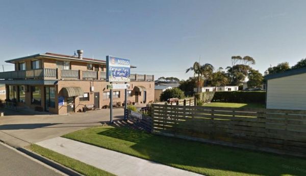
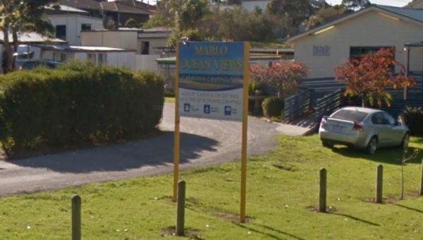
Entrance to the Marlo Caravan Park Marlo Caravan Park location map
, , ,
Entrance to the Marlo Ocean View Caravan & Camping Park Marlo Ocean View Caravan & Camping Park location map
, , , , ,  , , ,
, , ,
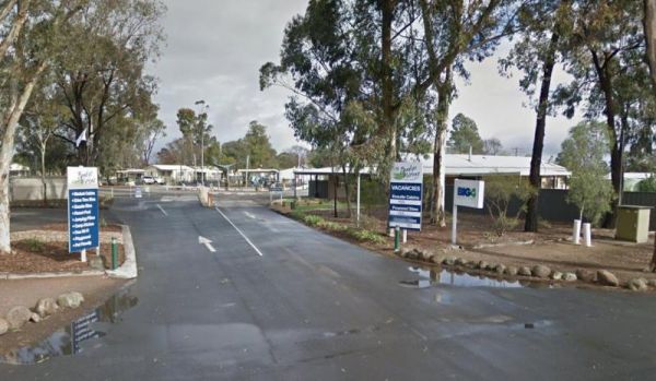
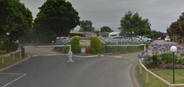
Entrance to the Marong Caravan & Cabin Village BIG4 Marong Caravan & Cabin Village BIG4 location map
, ,  ,
,  ,
,  , , ,
, , ,  ,
, 
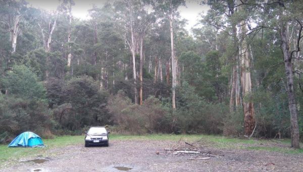
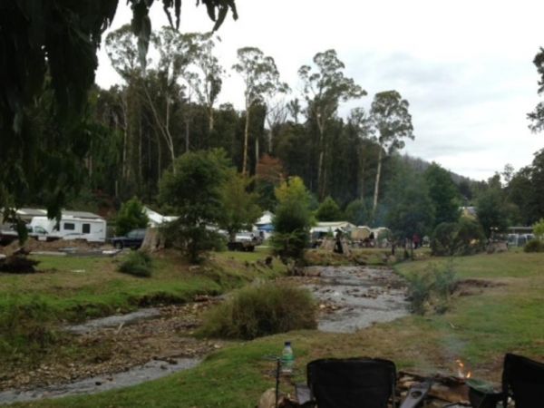
The Married Mens Camping Areais best suited to 4x4's and vehicle based camping. There are a reasonable amount of tent spaces available, and the Arnold Creek is nearby for running water.. Married Mens Camping Area location map


Maryborough Caravan Park
Entrance to the Maryborough Caravan Park Maryborough Caravan Park location map
, , , , , , , , , , , , ,
Marysville Caravan and Holiday Park
Entrance to the Marysville Caravan and Holiday Park Marysville Caravan and Holiday Park location map
, , , , ,
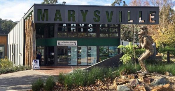
Marysville Visitor Information Centre
The Marysville Visitor Information Centre has all the information you will need when visiting this area. There is also a nice childrens playground next to the Stevenson River, and the Gallipoli Park is a must see, you won't be disappointed. Entrance to t ...
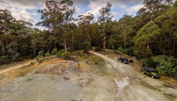
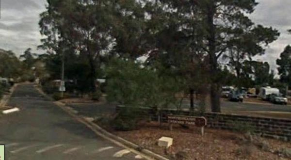
The McClelland Camping Area is with best accessed with 4x4's and vehicle based tent camping, you will need to bring everything you need and take your rubbish with you, water is available from the Big River, but make sure you treat it first before drinking ...
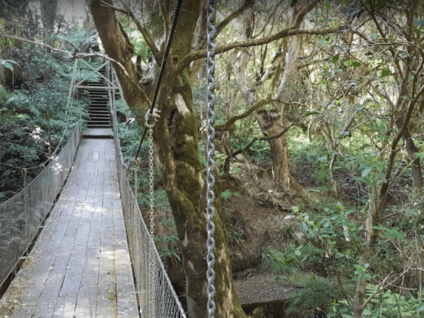
McKenzie River Rainforest Walk
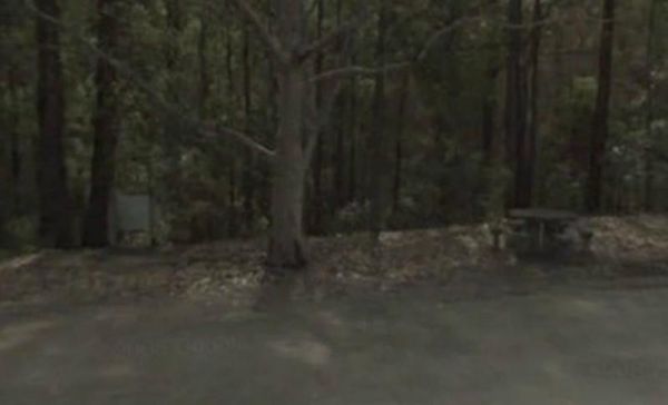
The McKenzie River Rainforest Walk is approximately a 1 kilometer easy walk (there are a few stairs to negotiate), and is a nice break from driving. The picnic tables, rubbish bins, and toilet facilities make this a nice place to pull over, and as a bonus ...
,
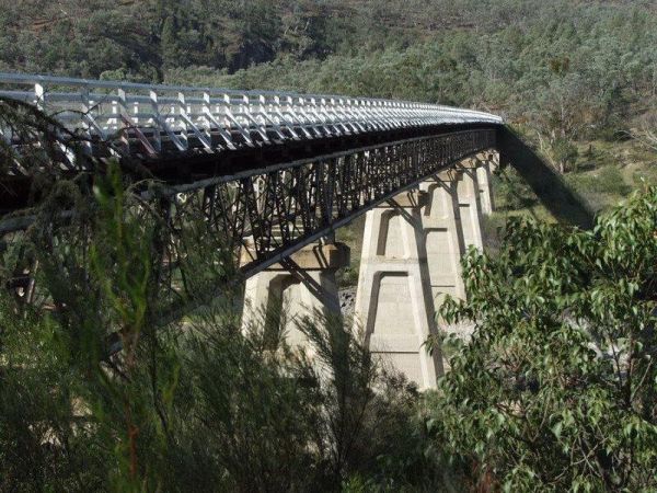
McKillops Bridge Camping Area
The McKillops Bridge Camping Area has a toilet and limited facilities, and is within easy walking distance to the Snowy River. Entrance to the McKillops Bridge Camping Area McKillops Bridge Camping Area location map
McKinnon Point Camping Area
The Mckinnon Point Camping Area has easy access to river during the summer months parts of river will dry up but the remaining parts are lovely to swim in. The Freestone Creek runs alongside this spot, there are some lengthy walks of up to 60 kilometers a ...
Entrance to the Melbourne Big4 Holiday Park Melbourne Big4 Holiday Park location map
, , , , , , ,
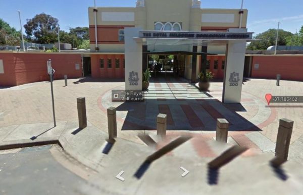
Entrance to the Melbourne Zoo Melbourne Zoo location map
, ,