Garry

Entrance to the Moolap Caravan Park Moolap Caravan Park location map
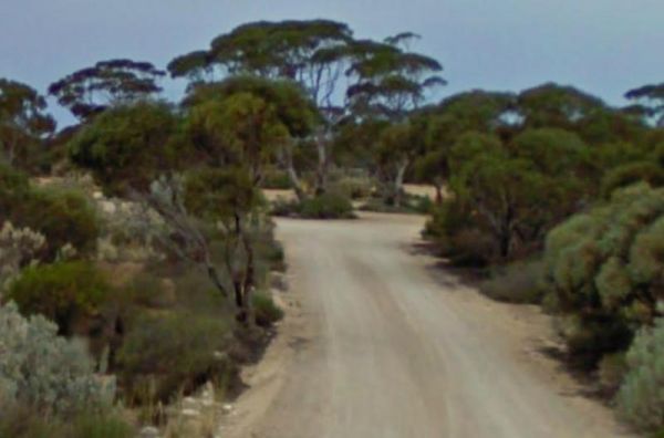
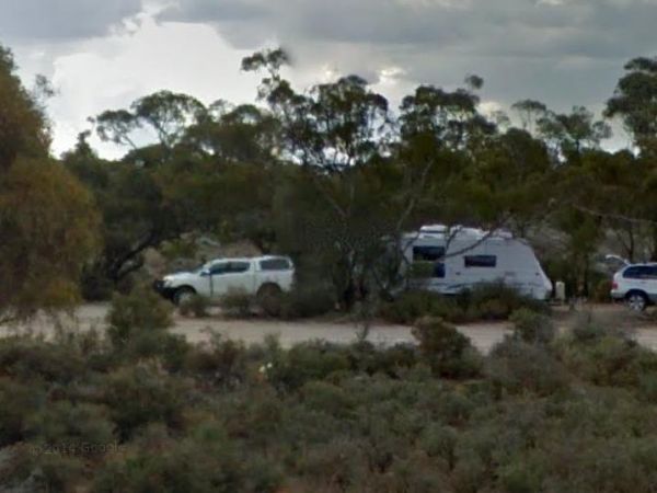
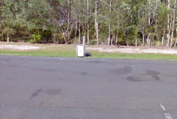
The Moonera Tank Rest Area has a public phone and plenty of level ground and set well back from the main road, you can go even further away fro the highway if your adventurous. Entrance to the Moonera Tank Rest Area Moonera Tank Rest Area location map ...
 ,
,  ,
, 
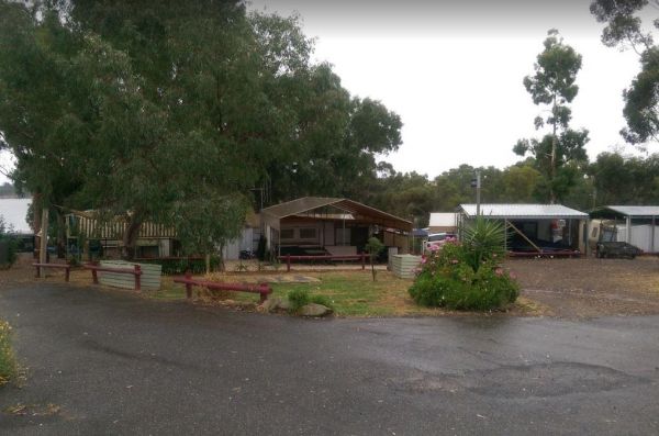
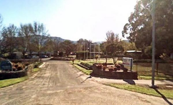
Moorabee Lodge Caravan Park location map
 ,
,  , ,
, ,  ,
,  ,
,  ,
,  ,
,  ,
, 
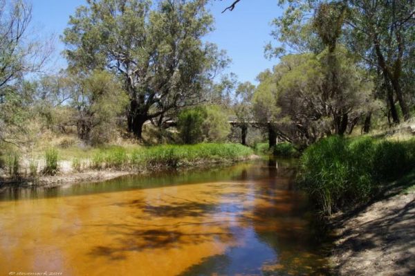
The Moore River Bridge Rest Area has room for approximately 4 caravans to park under shade. Entrance to the Moore River Bridge Rest Area Moore River Bridge Rest Area location map
,  ,
,
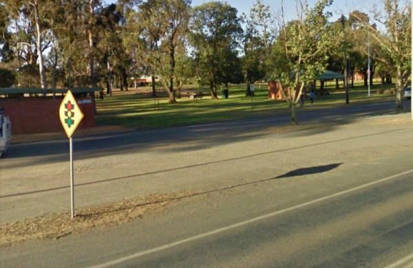
The Mooroopna Rest Area is a nice spot to pull over and have a BBQ it also has a Skateboarding Ramp next to Rest Area to keep the kids busy. Entrance to the Mooroopna Rest Area Mooroopna Rest Area location map
, , ,  ,
, 
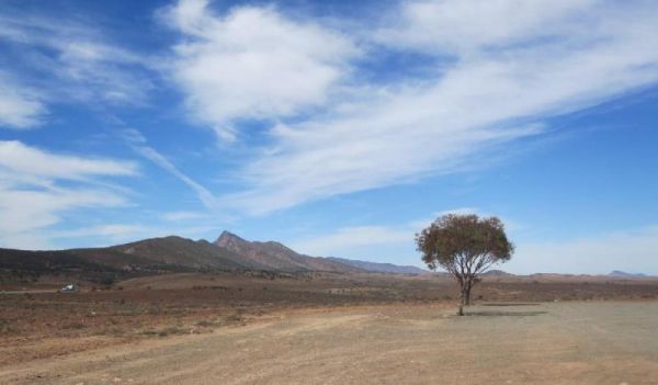
Moralana Creek Rest Area
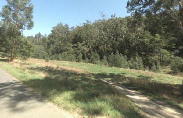
The Moralana Creek Rest Area is set well back from The Outback Highway. This rest spot is a large level gravel area with only one tree to give you some shade so first in gets the limited shade. There are a few distant mountains to look at while you take a ...
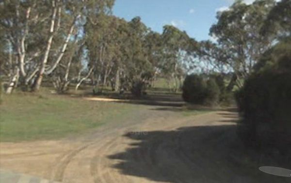
The Morambro Creek Rest Area is set back from the Riddoch Highway amongst some shady trees and picnic tables. The Morambro Creek runs along this rest spot, but no guarantee there will be any water in it. Entrance to the Morambro Creek Rest Area Moramb ...
,
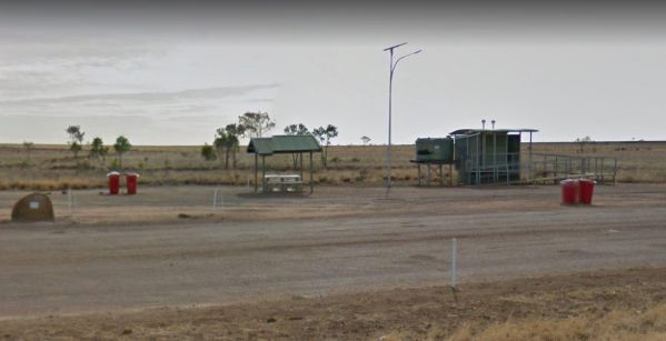
The Morella Rest Area is a large level area with no shade apart from the undercover picnic tables and public toilet. There are rubbish bins and plenty of room to park without bothering others. Entrance to the Morella Rest Area Morella Rest Area locati ...
, ,
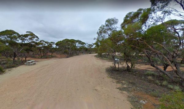
Morgan Road Rest Area
The Morgan Road Rest Area is back from the Goyder Highway on reasonably level ground. There is plenty of shade, a picnic table and a few rubbish bins. Entrance to the Morgan Road Rest Area Morgan Road Rest Area location map
,
The Morgan West Rest Area is set back off the Thiele Highway, there are a few trees for shade on reasonably level ground, This is another place to take for a rest from driving. Entrance to the Morgan West Rest Area Morgan West Rest Area location map
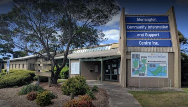
Mornington Community Information & Support Centre
The Mornington Community Information & Support Centre is worth a visit if you're new to the Mornington area, and not sure whats here for the tourist to see and do. Open Hours:Weekends 10.00am to 4.00pmWeek Days 9.00am to 5.00pm Entrance to the Mornin ...
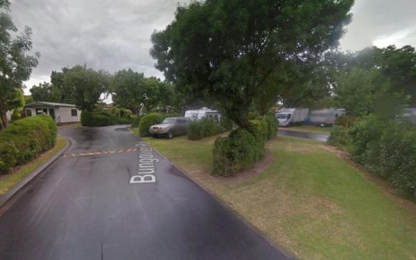
Mornington Gardens Holiday Village
Entrance to the Mornington Gardens Holiday Village Mornington Gardens Holiday Village location map
, ,  , ,
, ,  , , ,
, , ,  , ,
, ,
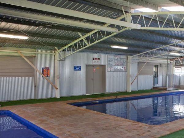
Entrance to the Mornington Peninsula Holiday Park BIG4 Mornington Peninsula Holiday Park BIG4 location map
, , , , ,  , ,
, ,  ,
,  , , ,
, , ,  ,
,  , , ,
, , , 
Entrance to the Mororo Rest Area Mororo Rest Area location map
,
The Morwell River Free Camping site 1 is on the banks of the Morwell River, please take your rubbish with you when leaving. Morwell River Free Camping site 1 location map
Entrance to the Mount Beauty Holiday Centre and Caravan Park Mount Beauty Holiday Centre and Caravan Park location map
, , , , , , , ,
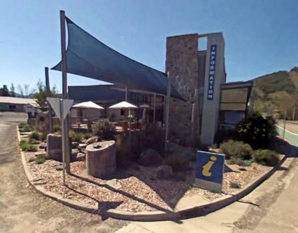
Mount Beauty Visitor Information Centre
Entrance to the Mount Beauty Visitor Information Centre Mount Beauty Visitor Information Centre location map
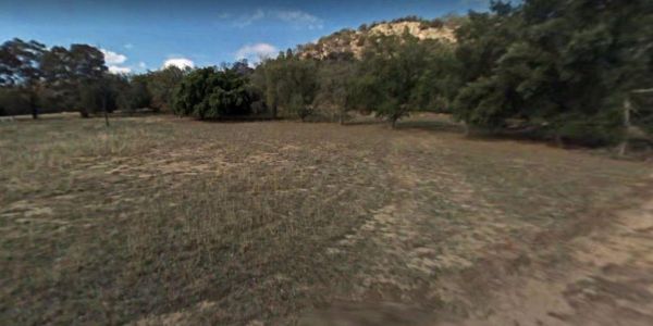
Mount Beckworth Scenic Reserve - Cork Oaks - Camping Ar...
Entrance to the Mount Beckworth Scenic Reserve - Cork Oaks - Camping Area Mount Beckworth Scenic Reserve - Cork Oaks - Camping Area location map
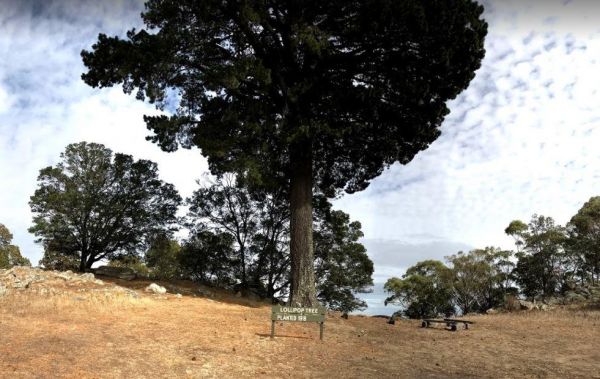
Mount Beckworth Scenic Reserve - Manna Gums - Camping A...
Mount Beckworth Scenic Reserve - Manna Gums - Camping Area location map
,
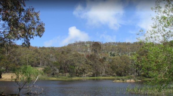
Mount Beckworth Scenic Reserve - The Dam - Camping Area
The Mount Beckworth Scenic Reserve - The Dam - Camping Area is a rough bush camp where you need to bring everything you need with you, and please take your rubbish with you when you leave. Entrance to the Mount Beckworth Scenic Reserve - The Dam - Campin ...
,
Page 69 of 111