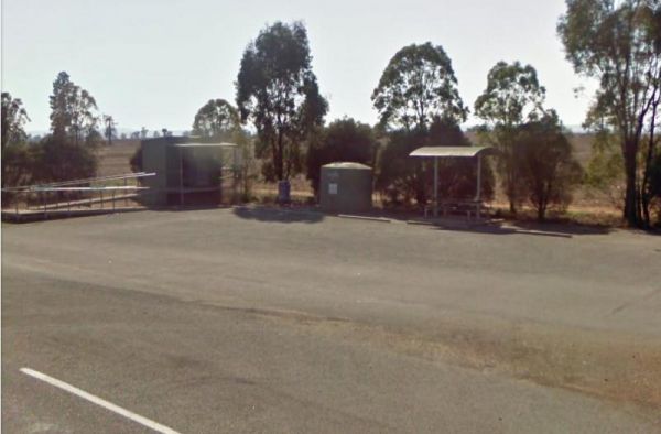
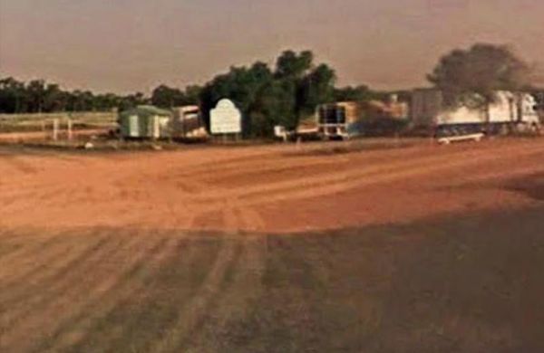
Facilities Available: Water Taps
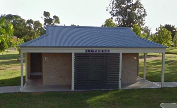
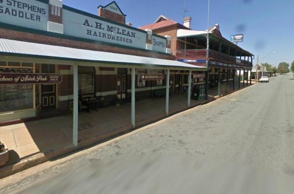
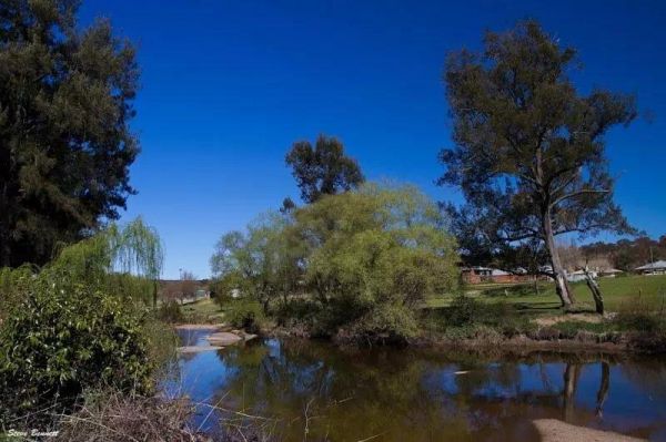
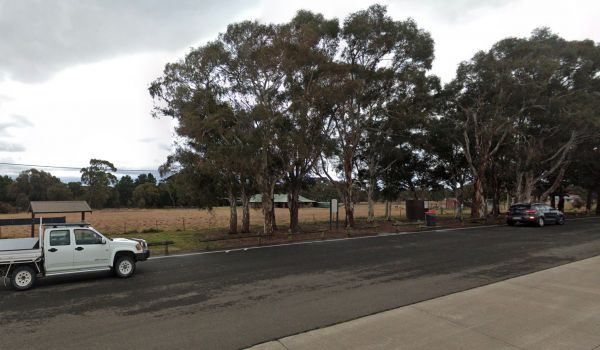
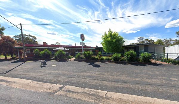
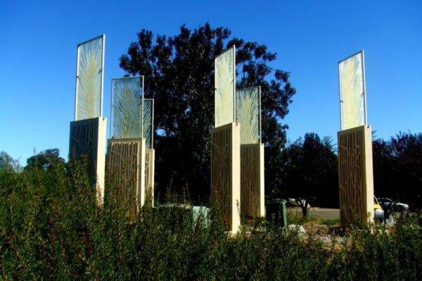
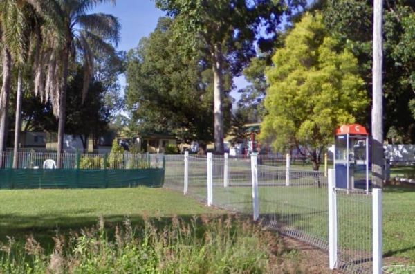
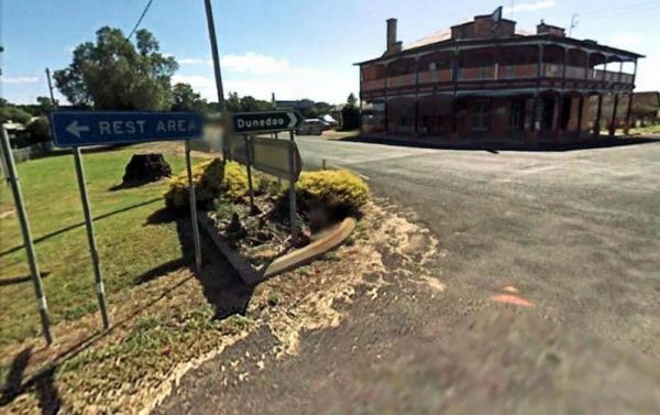
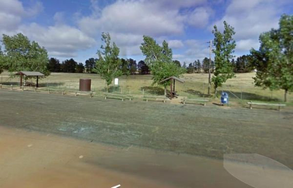
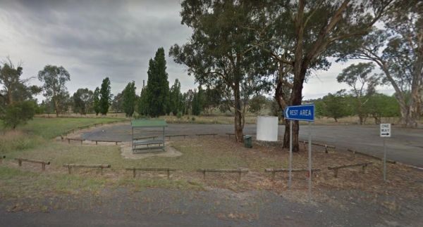
The Commercial Hotel is right next door. So why not drop in for a bite to eat while your there. There is a more upmarket Segenhoe Inn Luxury Boutique Hotel and B&B across the road also. Entrance to the A.F. Taylor Park Rest Area
 ,
,  ,
,  ,
,  ,
,  ,
,  ,
, 
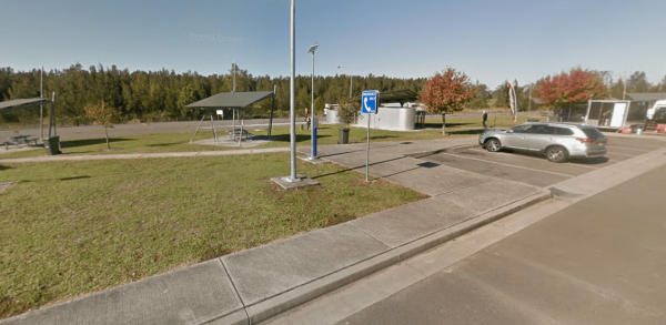
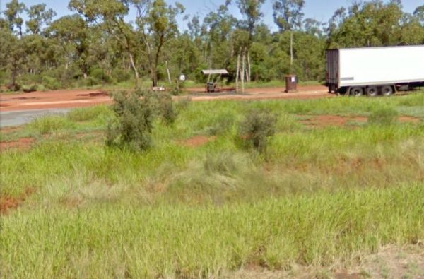
Entrance to the Aeroplane Parking Bay Aeroplane Parking Bay location map
,  ,
,  , ,
, ,
Entrance to the Albury Visitor Information Centre Albury Visitor Information Centre location map
, ,
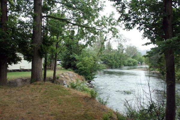
Entrance to the Araluen Creek Rest Area Araluen Creek Rest Area location map
,  ,
,  , ,
, ,
Entrance to the Ardlethan Rest Area Ardlethan Rest Area location map
, , ,
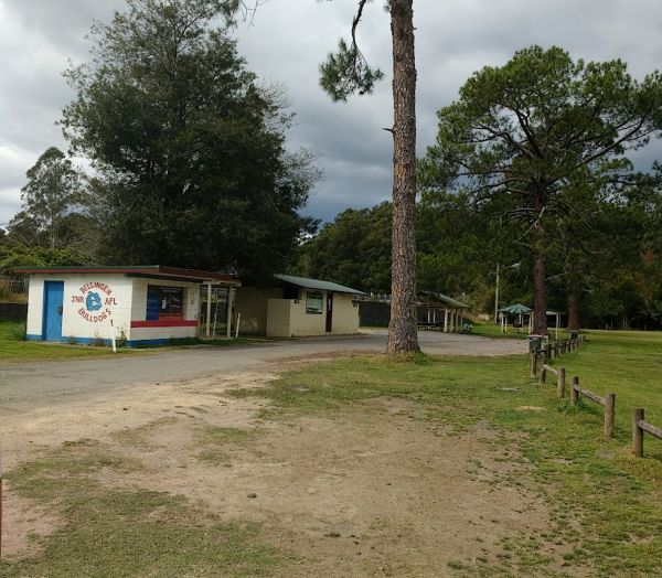
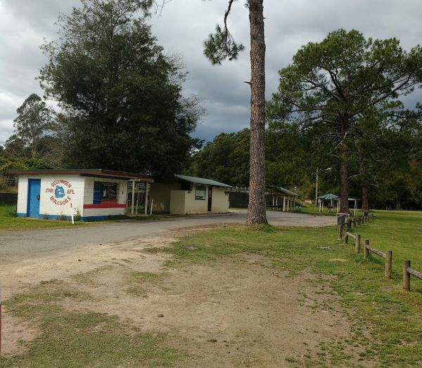
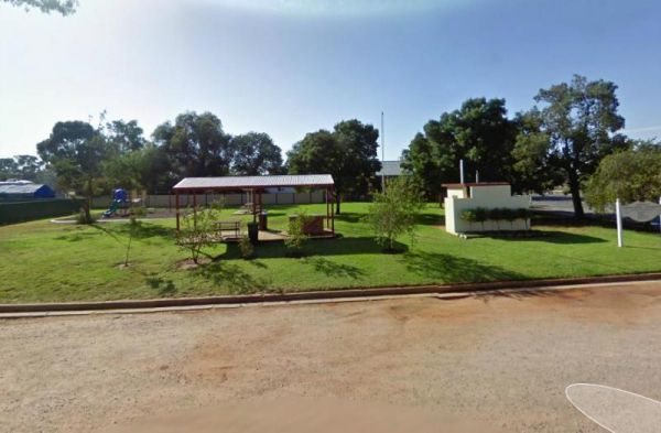
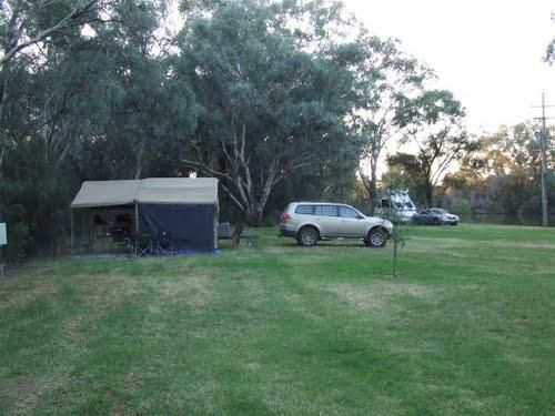
Ariah Park Campground
Entrance to the Ariah Park Campground Ariah Park Recreation Reserve location map
, ,  , , ,
, , ,
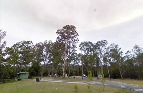
Entrance to the Armidale Tourist Park Armidale Tourist Park location map
, ,  ,
,  , ,
, ,  ,
,  ,
,  ,
,  , , , ,
  ,
,  , , ,
, , ,  ,
, 
Entrance to the Austin Tourist Park Austin Tourist Park location map
, , , , , , , ,
Entrance to the Baden Park Rest Area Baden Park Rest Area location map
, , , , ,
Entrance to the Barbour Park 48 Hour Limit Barbour Park 48 Hour Limit location map
, , , , , ,
The Barham Caravan & Tourist Park is located on the banks of the Murray River. So it's time to wet the bottom of your kayak and go for a paddle and explore the river. Entrance to the Barham Caravan & Tourist Park. Barham Caravan & Tourist ...
, ,  , , , , , , ,
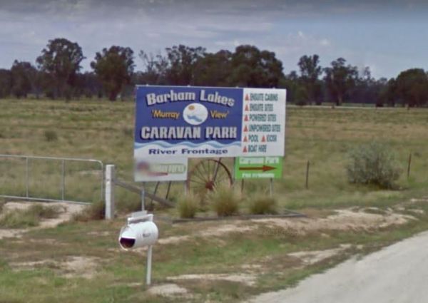
Entrance to the Barham Lakes Caravan Park Barham Lakes Caravan Park location map
, , , , , , , , , ,  ,
,  , ,
, ,
Entrance to the Barraba Lions Park Rest Area Barraba Lions Park Rest Area location map
, , , , , ,
Entrance to the Bemboka Rest Area Bemboka Rest Area location map
, , , , , , , ,
Entrance to the Ben Hall Park Rest Area Ben Hall Park Rest Area location map
, ,
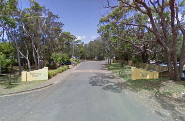
Entrance to the Holiday Haven Bendalong Holiday Haven Bendalong location map
, , , , , , , , ,
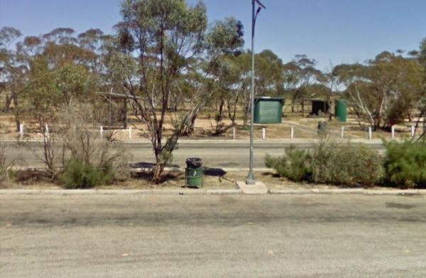
The Bendemeer Apex Park Rest Area has a maximum stay of 24 hours. It has plenty of room for drive through caravans and big rigs. You will find a public toilet block, and some tap water, there is limited shade, some picnic tables and BBQ's. The Macdonald R ...
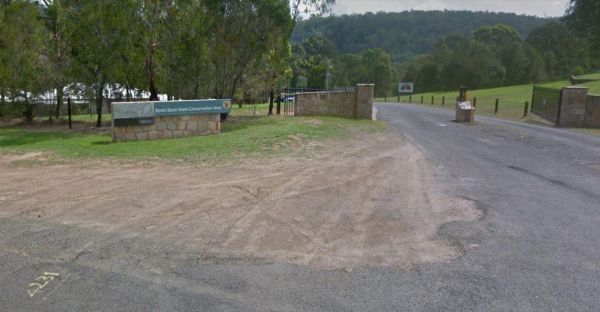
The Bents Basin campground do not permit the use of Petrol Generators, if you intend to use the fireplaces remember to bring your own firewood, Plus No-Smoking is permitted in any NSW national parks.For Bookings contact the Scheyville office02 4572 3100 C ...
, , ,
Entrance to the Binalong Rest Area 24 Hour Limit Binalong Rest Area 24 Hour Limit location map
, , , , ,
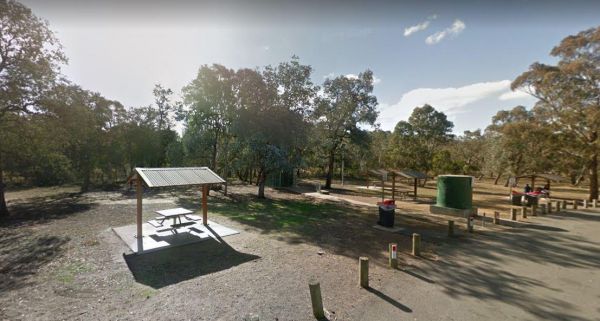
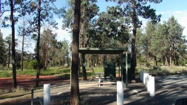
Black Springs Rest Area
Entrance to the Black Springs Rest Area Black Springs Rest Area location map
, , ,
Entrance to the Bluff Rock Rest Area Bluff Rock Rest Area location map
, , , ,
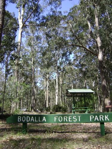
Entrance to the Bodalla Forest Park Rest Area Bodalla Forest Park Rest Area location map
, , , ,
The Bonnie Vale Campground is Closed Due to Asbestos contamination, and may or maynot be reopened. For more information contact NSW National Parks and Wildlife Services. Entrance to the Bonnie Vale Campground Bonnie Vale Campground location map
, , , ,
Entrance to the Bookham Park Rest Area Bookham Park Rest Area location map
, ,
Browns Flat Rest Area Southbound is a large area with plenty of room for large caravans motorhomes ect. Please Note NO CAMPING is Permitted at this rest stop. Entrance to the Browns Flat Rest Area Southbound Browns Flat Rest Area Southbound location m ...
, , ,
Burdett Park is situated alongside the main road, which means you may experience some road noise. However, the on-site public toilets are typically well-maintained and equipped with running water and a spacious sink. Adjacent to the toilets, there's a cov ...
, , , , ,
Burdett Park is situated alongside the main road, which means you may experience some road noise. However, the on-site public toilets are typically well-maintained and equipped with running water and a spacious sink. Adjacent to the toilets, there's a cov ...
, , , , ,
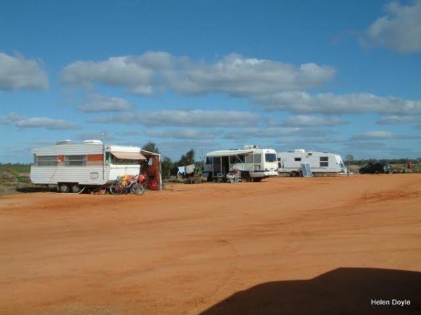
Burren Junction Baths Reserve Camping Area
Entrance to the Burren Junction Baths Reserve Camping Area Burren Junction Baths Reserve Camping Area location map
, , , ,
Entrance to the Caltigeena Rest Area <h3>Caltigeena Rest Area location map
, ,
Please specify a grassed site if you have a camper van that needs tent pegging Maximum Stay 28 Days Entrance to the Capital Country Holiday Park Capital Country Holiday Park Location Map
,  , ,
, ,  , , ,
, , ,  , , , , , ,
Entrance to the Carcoar Dam Water Reserve Camping Area Carcoar Dam Water Reserve Camping Area location map
, , , ,
Entrance to the Chowne VC Memorial Rest Area Chowne VC Memorial Rest Area location map
,
Entrance to the Chowne VC Rest Area Chowne VC Rest Area location map
, , ,
Entrance to the Coo-Ee March Memorial Park Coo-Ee March Memorial Park location map
, , ,
The Coraki Riverside Caravan Park Located on the banks of the Richmond River, and the Coraki Hotel is directly opposite, so a drink and a meal are just a short walk away.Note: Maximum 2 weeks stay The Coraki Art Festival - October each year Entrance ...
, , , , ,
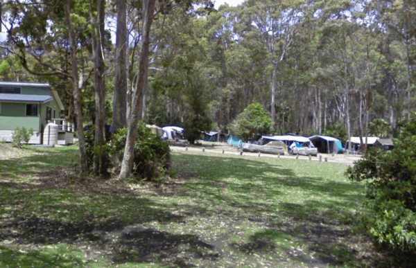
Depot Beach Campground
Entrance to the Depot Beach Campground Depot Beach Campground location map
, , , ,
This is an older style caravan park, it has a few facilities and a tennis court, plus a couple of drive through ensuite sites, with a pub and petrol station next door. Entrance To The Eaglehawk Holiday Park Eaglehawk Holiday Park Location Map
, , , , , , ,
Entrance to the Edgeroi Rest Area Edgeroi Rest Area location map
, , ,
Entrance to the Emmdale Roadhouse Camping Area Emmdale Roadhouse Camping Area location map
, , , ,
Entrance to the French VC Rest Area French VC Rest Area location map
, , , ,
Entrance to the Gilgunnia Rest Area Gilgunnia Rest Area location map
, ,
Entrance to the Glenariff Rest Area Glenariff Rest Area location map
,
Entrance to the Gratwick VC Rest Area Gratwick VC Rest Area location map
, ,
Entrance to the Grenfell West Rest Area Grenfell West Rest Area location map
, , , , ,
Grong Grong Park Rest Area
Entrance to the Grong Grong Park Rest Area 24 Hour Limit Grong Grong Park Rest Area 24 Hour Limit location map
, , , , ,
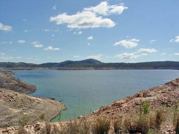
Gum Bend Lake Camping Area
Entrance to the Gum Bend Lake Camping Area Gum Bend Lake Camping Area location map
, , , , , , , ,
Entrance to the Huskisson White Sands Holiday Park Huskisson White Sands Holiday Park location map
, , , , , , , , ,
Entrance to the Ilford Rest Area Ilford Rest Area location map
, , , ,
Entrance to the Illabo Rest Area Illabo Rest Area location map
, , , ,
Kangaroo Valley Tourist Park
Entrance to the Kangaroo Valley Tourist Park Kangaroo Valley Tourist Park location map
, , , , , , ,  ,
,  , , , ,
Entrance to the Kibby VC Rest Area Kibby VC Rest Area location map
, , , ,
Entrance to the Kilgowlah Creek Rest Area Kilgowlah Creek Rest Area location map
, , ,
Mackay Park Rest Area
Entrance to the Mackay Park Rest Area Mackay Park Rest Area location map
, , , ,
Macksville Lions Park Rest Area
The Macksville Lions Park Rest Area Entrance to the Macksville Lions Park Rest Area Macksville Lions Park Rest Area location map
, , , , , ,
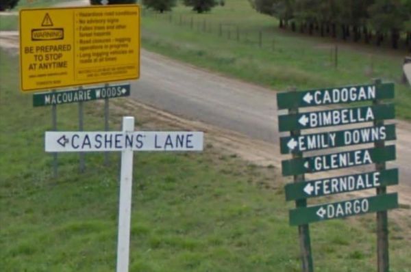
Entrance to the Macquarie Woods Forest Reserve Free Camping Grounds Macquarie Woods Forest Reserve Free Camping Grounds location map
, , , , , , ,
Majors Creek Recreation Reserve 24 Hour Limit
Entrance to the Majors Creek Recreation Reserve 24 Hour Limit Majors Creek Recreation Reserve 24 Hour Limit location map
, ,
Entrance to the Mallee Fowl Rest Area Mallee Fowl Rest Area location map
, , , ,
Mann River Caravan Park
Entrance to the Mann River Caravan Park Mann River Caravan Park location map
, , , , , , , , ,
Entrance to the Meadow Glen Rest Area Meadow Glen Rest Area location map
, , , ,
Entrance to the Mendooran Free Camp48 Hour Limit Mendooran Free Camp 48 Hour Limit location map
, , , , , , , , ,
Entrance to the Middleton VC Rest Area Middleton VC Rest Area location map
, ,
Entrance to the Mullaley Park Rest Area Mullaley Park Rest Area location map
, , ,
Entrance to the Mundoonan Truck Stop Rest Area Mundoonan Truck Stop Rest Area location map
, , , , ,
Entrance to the Newmans Road Rest Area Southbound Newmans Road Rest Area Southbound location map
, , , , ,
Entrance to the Nyngan Riverside Tourist Park Nyngan Riverside Tourist Park location map
, , , , , , , , , ,
Pindari Dam Camping Area location map
, , , , , ,
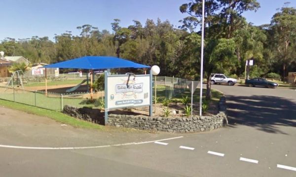
Entrance to the Seven Mile Beach Holiday Park Seven Mile Beach Holiday Park location map
, , , , , , , , , ,
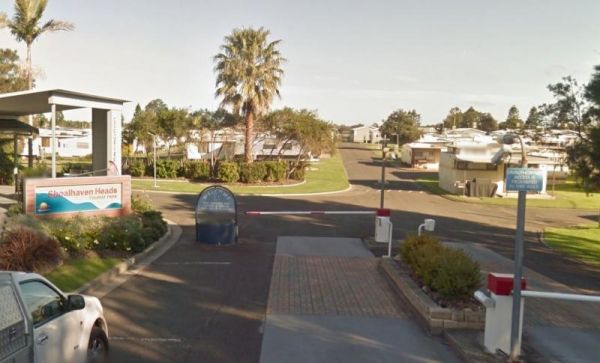
Shoalhaven Heads Holiday Park
Entrance to the Shoalhaven Heads Holiday Park Shoalhaven Heads Holiday Park location map
, , , , , , , , , ,  , , ,
, , ,
Entrance to the Shoalhaven Zoo - Campsite Shoalhaven Zoo - Campsite location map
,  , , , , ,
Spring Hill Rest Area
Entrance to the Spring Hill Rest Area Spring Hill Rest Area location map
, , , , ,
Entrance to the Surf Beach Holiday Park Surf Beach Holiday Park location map
, , , , , , , , , ,
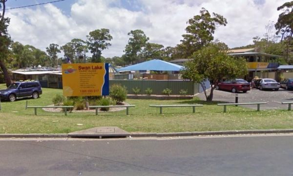
Entrance to the Swan Lake Holiday Park Swan Lake Holiday Park location map
, , , , , , , , , , , , , , ,
The Tarcutta Rest Area is accessible to both Northbound and Southbound Traffic, with enough room for large rigs to maneuver. it is located near the junction of the Keajura and Kilgowla Creek, so yabbies might be available here to catch for dinner. Entran ...
,

Thackaringa Hills Rest Area
Entrance to the Thackaringa Hills Rest Area Thackaringa Hills Rest Area location map
, , , ,
Entrance to the The Ponds Camp Rest Area The Ponds Camp Rest Area location map
, , ,
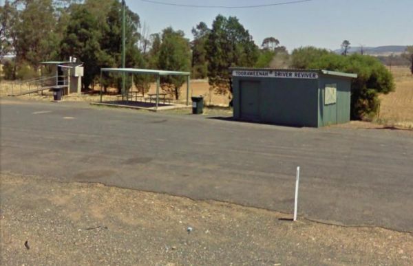
Tooraweenah Rest Area
Entrance to the Tooraweenah Rest Area Tooraweenah Rest Area location map
, , , ,
Trial Bay Campground
The Trial Bay Campground is a very popular destination.I suggest booking in advance as the best spots book out fast.There is a dump point at trial bay campground. It's around the front, past the boat ramp and below the gaol, in the 'overflow area. Entran ...
, , , , , ,
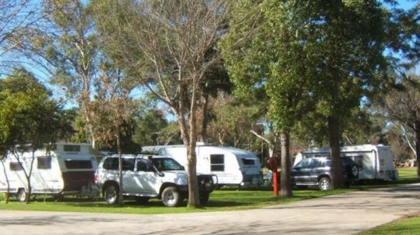
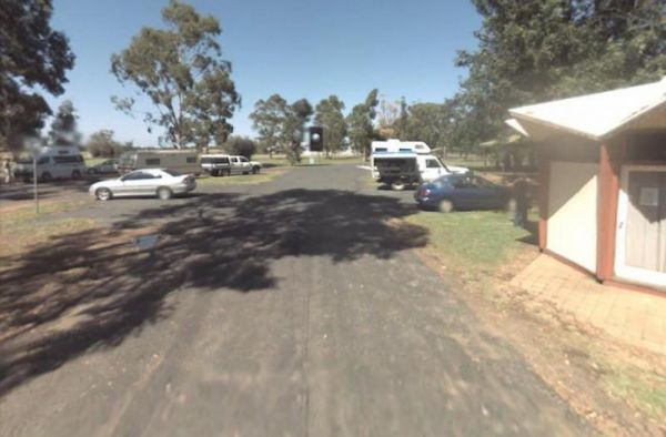
Tumut Caravan Park NSW
Stayed a few nights at Riverglade CP. before going over the Snowy Mountain Hwy. to Cooma.Quite a lovely park,right on the river,lots to see around the area.They have leaflet with 5 day trips to do,we will certainly come back.
, , , , , , , , , , , ,
Waldrons Swamp Rest Area has separate parking areas set aside for trucks, buses, and cars, caravans. Toilet facilities and shaded picnic tables for you to stop and have a bite to eat. Make sure you have plenty of bug spray with you. It is a Swamp so mosqu ...
, , , ,
The Widgiwa Rest Area has a picnic table, a few rubbish bins and room for bigger caravans. There is water available but treat it first if you intend to drink it. Entrance to the Widgiwa Rest Area Widgiwa Rest Area location map
,
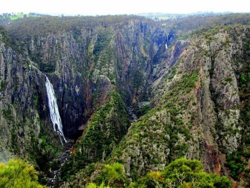
The Wollomombi Gorge National Park Camping Area set amongst native bushland, it's best suited for small campervans and vehicle based camping. Entrance to the Wollomombi Gorge National Park Camping Area Wollomombi Gorge National Park Camping Area locat ...
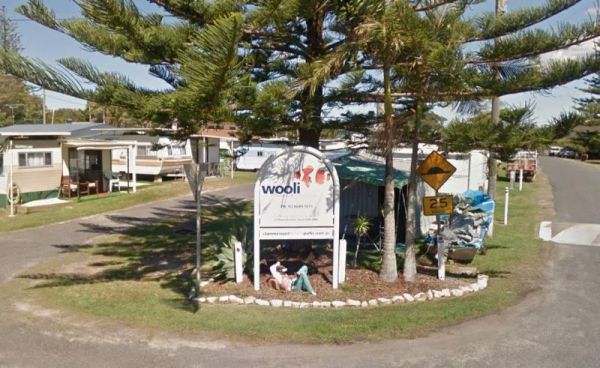
The Wooli Caravan Park is located between the Wooli Wooli River and the open Ocean {tab title="Local Places to Eat" class="grey"} Harry's Chinese Restaurant, Bowling Club Main Street Wooli Bowling & Recreation Club, Lawn Bowls Club · Main Street ...
, , , , ,
The Yeoval Showground Camping Area has lots of space for campers and is an easy walk to the main business area of town. The Buckinbah Creek runs along the back of the showground, but is very shallow, so I don't think it will interest people who want to ca ...
, , , , , ,
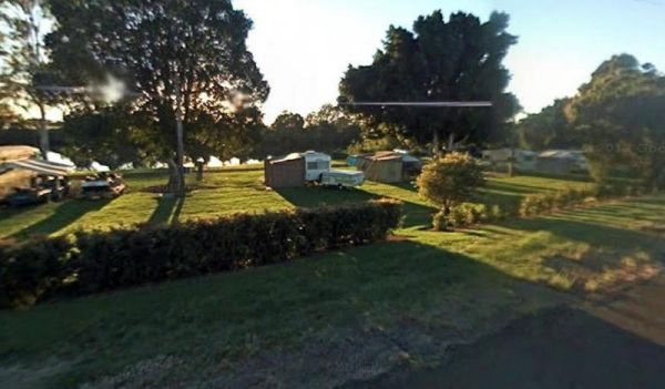
Yerong Creek Camping Area
The Yerong Creek Camping Area is at the end of town on the edge of the sporting facilities. with ample room for campers to enjoy a stop over. Entrance to the Yerong Creek Camping Area Yerong Creek Camping Area location map
, , , ,