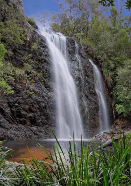
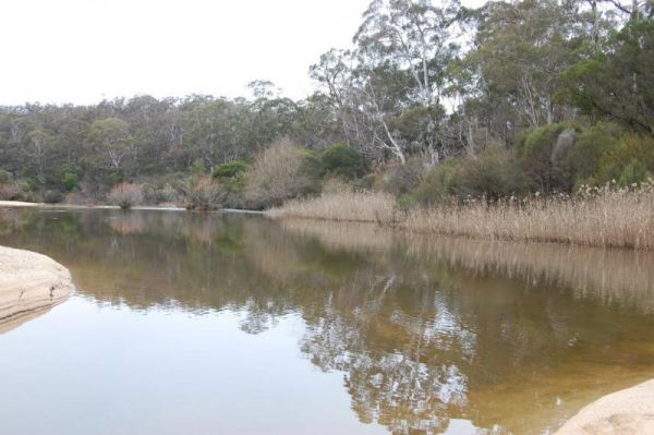
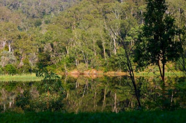
Facilities Available: Fishing
Entrance to the Aeroplane Parking Bay Aeroplane Parking Bay location map
 ,
,  ,
,  ,
,  ,
, 
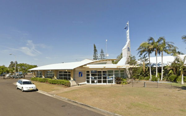
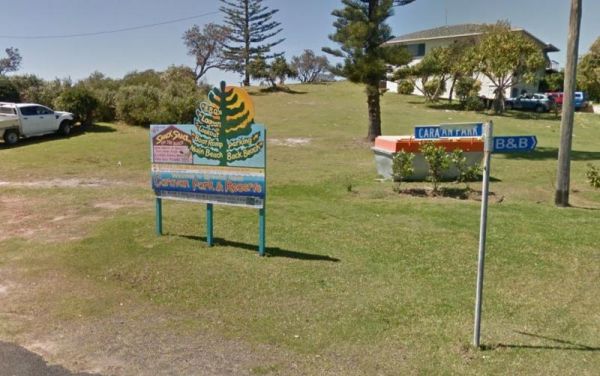
Entrance to the Ballina Visitor Information Centre Ballina Visitor Information Centre location map
, , 
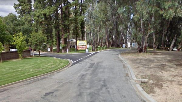
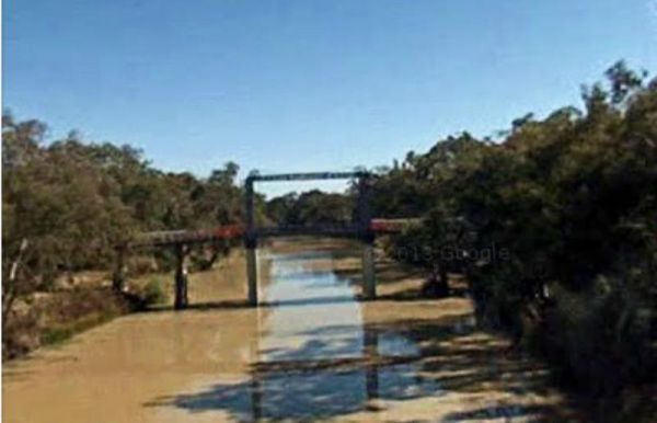
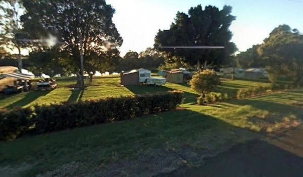
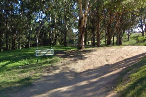
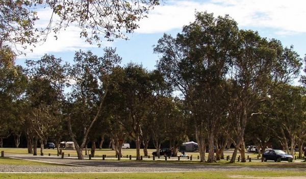
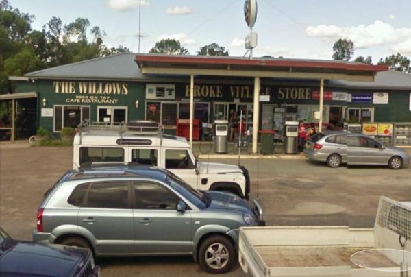
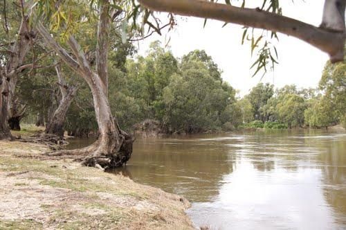
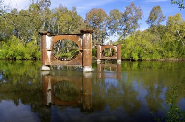
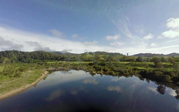
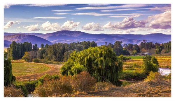
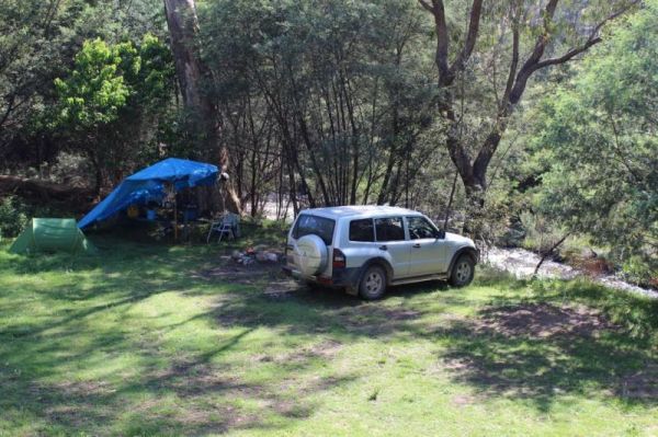
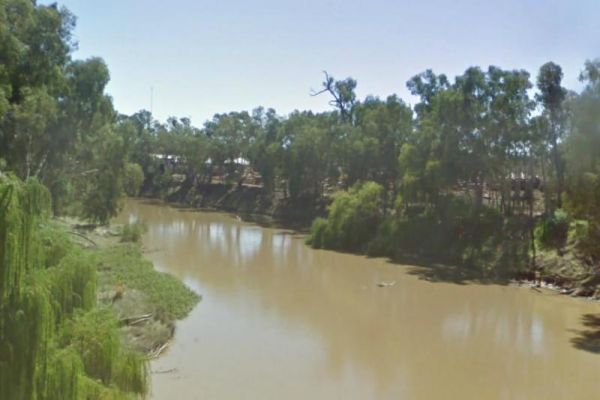
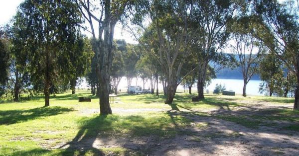
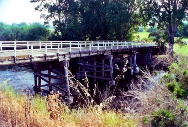
The Barham Caravan & Tourist Park is located on the banks of the Murray River. So it's time to wet the bottom of your kayak and go for a paddle and explore the river. Entrance to the Barham Caravan & Tourist Park. Barham Caravan & Tourist ...
,  ,
,  ,
,  ,
,  , ,
, ,  , , ,
, , , 
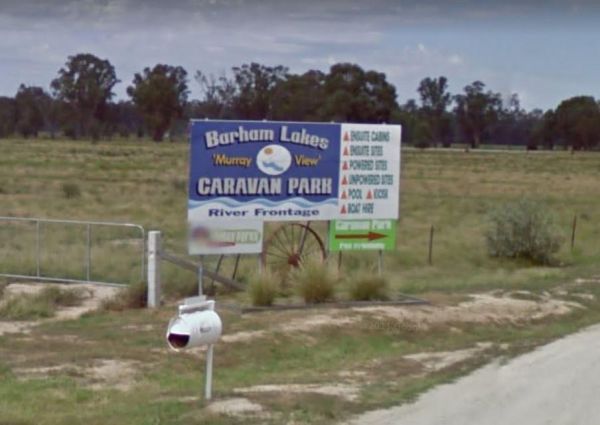
Entrance to the Barham Lakes Caravan Park Barham Lakes Caravan Park location map
, ,  ,
,  , ,
, ,  , , , ,
  ,
,  ,
,  , ,
, ,
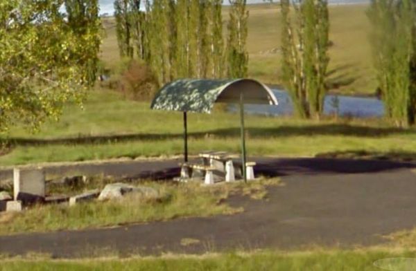
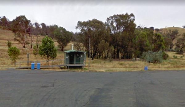
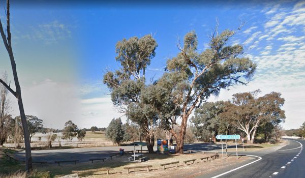
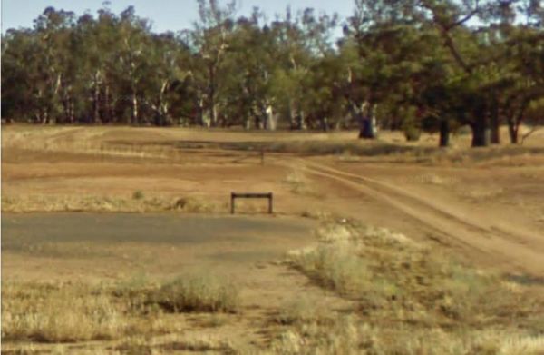
Beardy Waters Rest Area
Entrance to the Beardy Waters Rest Area Beardy Waters Rest Area location map
, ,  , , ,
, , ,
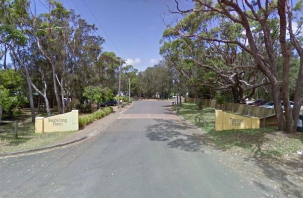
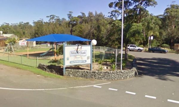
Entrance to the Holiday Haven Bendalong Holiday Haven Bendalong location map
, , , , , ,  , , ,
, , , 

Bendeela Reserve Camping Area
Bendeela Reserve Camping Area location map
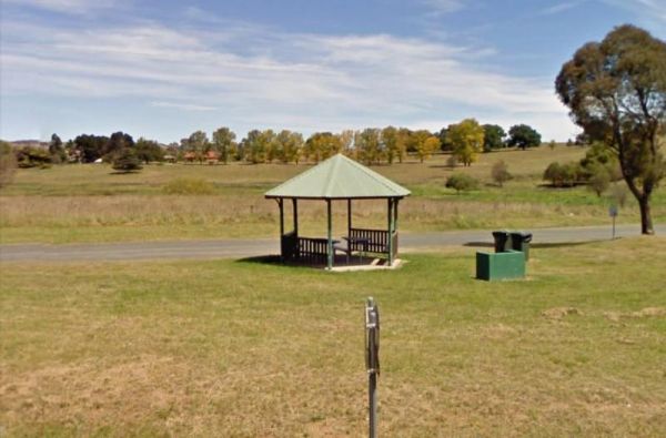
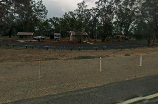
The Bendemeer Apex Park Rest Area has a maximum stay of 24 hours. It has plenty of room for drive through caravans and big rigs. You will find a public toilet block, and some tap water, there is limited shade, some picnic tables and BBQ's. The Macdonald R ...
Bendemeer Park Rest Area is a REST AREA ONLY NO CAMPING Allowed. Entrance to the Bendemeer Park Rest Area Bendemeer Park Rest Area location map
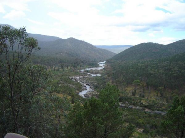
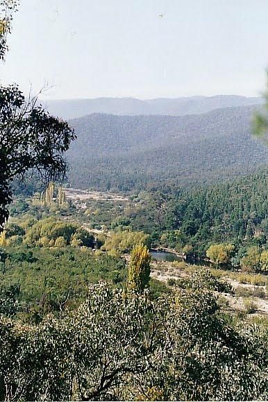
Bendethera Valley Camping Area location map
Birdcage River Reserve Rest Area
Entrance to the Birdcage River Reserve Rest Area Birdcage River Reserve Rest Area location map
, , ,
Black Rocks Camping Area location map
,
,
Entrance to the Bombay Reserve Camping Area Bombay Reserve Camping Area location map
The Bonnie Vale Campground is Closed Due to Asbestos contamination, and may or maynot be reopened. For more information contact NSW National Parks and Wildlife Services. Entrance to the Bonnie Vale Campground Bonnie Vale Campground location map
, , , ,
Entrance to the Bonshaw Weir Camping Area Bonshaw Weir Camping Area location map
Entrance to the Boolooroo Rest Area Boolooroo Rest Area location map
, , , , ,

Entrance to the Bottle Bend Forest Reserve Picnic Area Bottle Bend Forest Reserve Picnic Area location map
, , , , ,
 , , ,
, , ,

Bourkes Bend State Forest Camping Area
Bourkes Bend State Forest Camping Area location map
Bourkes Bend State Forest Camping Area
Bourkes Bend State Forest Camping Area location map
 ,
,
Entrance to the Brandons Bend River Reserve Rest Area Brandons Bend River Reserve Rest Area location map
, , ,
Brewarrina Rest Area
Entrance to the Brewarrina Rest Area Brewarrina Rest Area location map
, , , , ,
Brooms Head Caravan Park
Entrance to the Brooms Head Caravan Park Brooms Head Caravan Park location map
, , , , ,  , ,
, ,
Bummaroo Ford Campground
Entrance to the Bummaroo Ford Campground Bummaroo Ford Campground location map
Bunyip Hole Reserve Camping Area
Bunyip Hole Reserve Camping Area location map
Entrance to the Burraga Dam Camping Area Burraga Dam Camping Area location map
Burrill Lake Park Rest Area
Entrance to the Burrill Lake Park Rest Area Burrill Lake Park Rest Area location map
, , , , ,
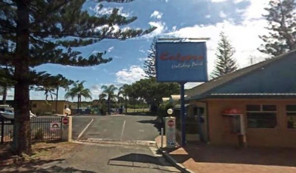
Entrance to the Calypso Holiday Park Calypso Holiday Park location map
, , , , ,
Campbells Reserve Camping Area
Entrance to the Campbells Reserve Camping Area Campbells Reserve Camping Area location map
Entrance to the Carcoar Dam Water Reserve Camping Area Carcoar Dam Water Reserve Camping Area location map
, , , , 
Carrathool Bridge Camping Area
Entrance to the Carrathool Bridge Camping Area Carrathool Bridge Camping Area location map
Cockburn River Camp Area location map
, , , ,
Entrance to the Colombo Park Colombo Park location map
, , , , ,
The Coraki Riverside Caravan Park Located on the banks of the Richmond River, and the Coraki Hotel is directly opposite, so a drink and a meal are just a short walk away.Note: Maximum 2 weeks stay The Coraki Art Festival - October each year Entrance ...
, , , , ,
Corunna Lake National Park Rest Area
Entrance to the Corunna Lake National Park Rest Area Corunna Lake National Park Rest Area location map
, ,
Crooked Creek Rest Area
Entrance to the Crooked Creek Rest Area Crooked Creek Rest Area location map
, , , ,
Entrance to the Currarong Beachside Holiday Park Currarong Beachside Holiday Park location map
, , , , , , , ,  ,
,  ,
,
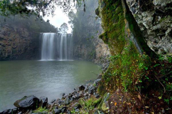
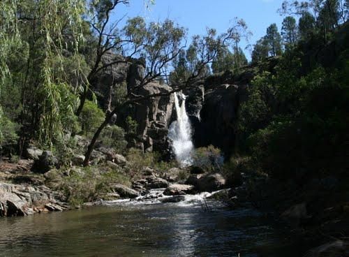
Entrance to the Dangar Falls Picnic Area Dangar Falls Picnic Area location map
, , , , , ,
Darbys Falls River Reserve Rest Area
Entrance to the Darbys Falls River Reserve Rest Area Darbys Falls River Reserve Rest Area location map
, , ,
Dead Mans Point Rest Area
Entrance to the Dead Mans Point Rest Area Dead Mans Point Rest Area location map
, , ,
Depot Beach Campground
Entrance to the Depot Beach Campground Depot Beach Campground location map
, , , ,
Entrance to the Diamond Head Campground Diamond Head Campground location map
, ,
Dumaresq Dam Recreation Area
Dumaresq Dam Recreation Area location map
, , , , ,
Ellenborough Reserve Camping Area 14 Day Limit
Entrance to the Ellenborough Reserve Camping Area 14 Day Limit Ellenborough Reserve Camping Area 14 Day Limit location map
Entrance to the Endrick River Crossing Rest Area Endrick River Crossing Rest Area location map
, ,
Entrance to the Euroley Bridge Reserve Rest Area Euroley Bridge Reserve Rest Area location map
, ,
Entrance to the Finlays Beach Camping Area Finlays Beach Camping Area location map
Entrance to the Forbes Taylor Underpass Rest Area Forbes Taylor Underpass Rest Area location map
, , , ,
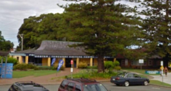
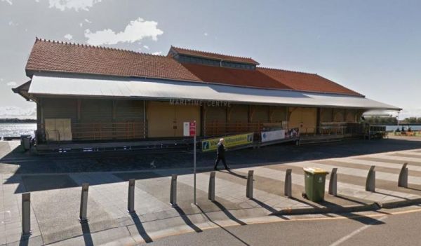
Entrance to the Forster Visitor Information Centre Forster Visitor Information Centre location map
, ,
Four Mile Reserve Camping Area
Four Mile Reserve Camping Area location map
Glen Davis Camping Area
Glen Davis Camping Area location map
, , , , ,
Entrance to the Glen Riddle Recreation Reserve Glen Riddle Recreation Reserve location map
, , , , ,
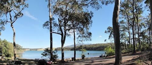
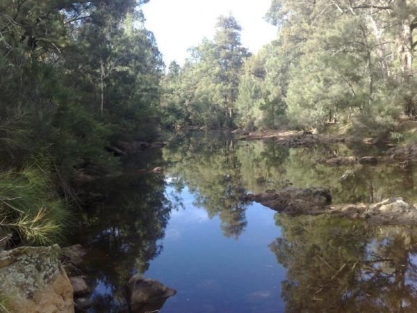
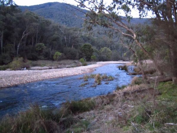
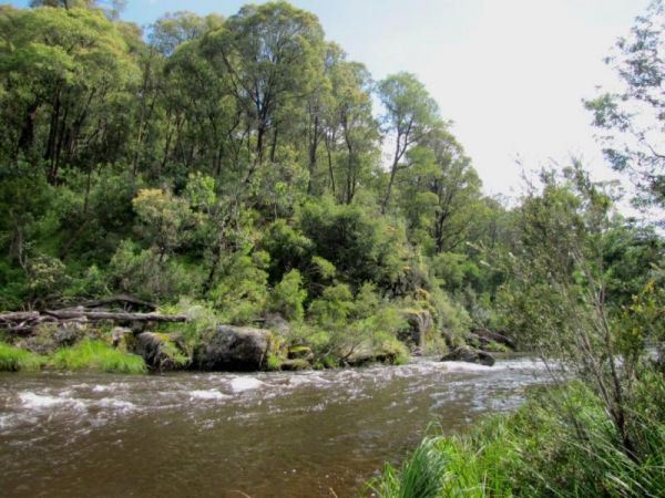
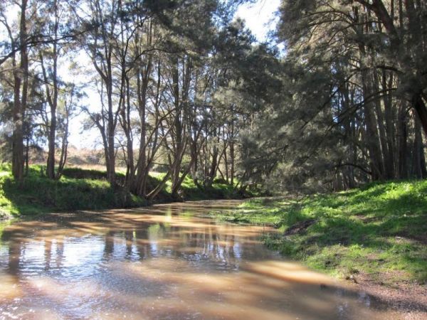
The Goulburn River Rest Area is a nice spot to have a rest, and take a few photos while exploring the Goulburn River and maybe catching dinner if your lucky. Entrance to the Goulburn River Rest Area Goulburn River Rest Area location map
, ,
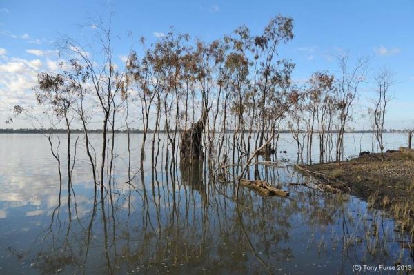
Gulpa Island Precinct Camping Area location map
Gum Bend Lake Camping Area
Entrance to the Gum Bend Lake Camping Area Gum Bend Lake Camping Area location map
, , , , , , , ,
Entrance to the Gwydir River Camping Area Gwydir River Camping Area location map
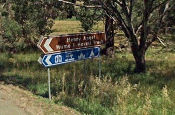
Entrance to the Henry Angel Flat Camping Area Henry Angel Flat Camping Area location map
, , , , , , ,
Entrance to the Herbert Reserve Rest Area Herbert Reserve Rest Area location map
, , ,
Entrance to the Hickeys Falls Rest Area Hickeys Falls Rest Area location map
, ,
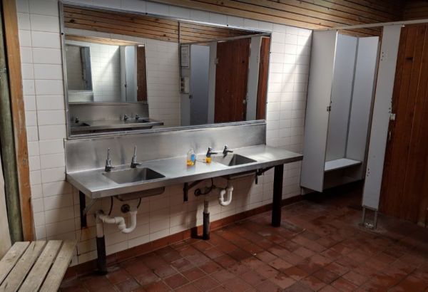
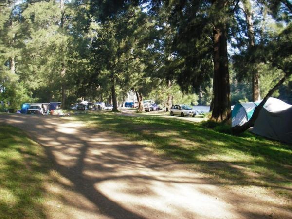
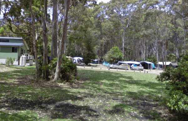
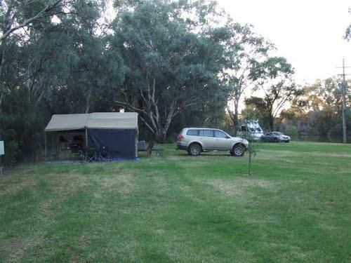
The Hobart Beach campground has a laundry public toilets and hot showers (the showers are on a timer), you'll find fire pits with a swing bbq plate, and an onsite laundry. There are plenty of tables and bench seats and all the campsites are numbered. Ther ...
, , , ,
Entrance to the Howlong Lions Park Rest Area Howlong Lions Park Rest Area location map
, , , , , ,
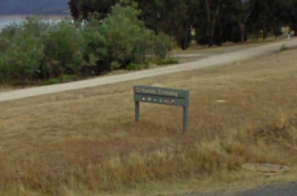
Entrance to the Humes Crossing Camping Area Humes Crossing Camping Area location map
, , ,
Entrance to the Huskisson White Sands Holiday Park Huskisson White Sands Holiday Park location map
, , , , , , , , ,
Entrance to the Illilawa River Reserve Rest Area Illilawa River Reserve Rest Area location map
, , ,
Entrance to the Jervis Bay Caravan Park Jervis Bay Caravan Park location map
, , , , , , , , ,
Entrance to the Jingellic Reserve Camping Area Jingellic Reserve Camping Area location map
Entrance to the Joyce Pearce Memorial Park Joyce Pearce Memorial Park location map
, , , ,
Kangaroo Valley Tourist Park
Entrance to the Kangaroo Valley Tourist Park Kangaroo Valley Tourist Park location map
,  , , , , , ,
  , , , , ,
Entrance to the Kilgowlah Creek Rest Area Kilgowlah Creek Rest Area location map
, , ,
Entrance to the Kingsley Fairbridge Memorial Park Rest Area Kingsley Fairbridge Memorial Park Rest Area location map
, , ,
Kyffins Reserve Camping Area location map
Lake Wallace Reserve Rest Area
Entrance to the Lake Wallace Reserve Rest Area - 48 Hour Limit Lake Wallace Reserve Rest Area - 48 Hour Limit location map
, , , ,
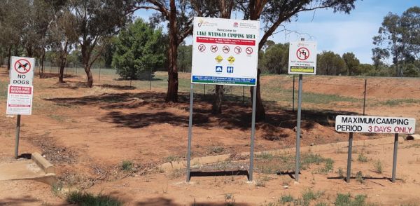
Lake Wyangan Picnic Area 72 Hour Limit
Entrance to the Lake Wyangan Picnic Area 72 Hour Limit Lake Wyangan Picnic Area 72 Hour Limit location map
, , , , , , ,
Lemon Tree Flat Camping Area location map
Little Creek Reserve Picnic & Rest Area location map
, , ,
Entrance to the Little Styx River Camping Area Little Styx River Camping Area location map
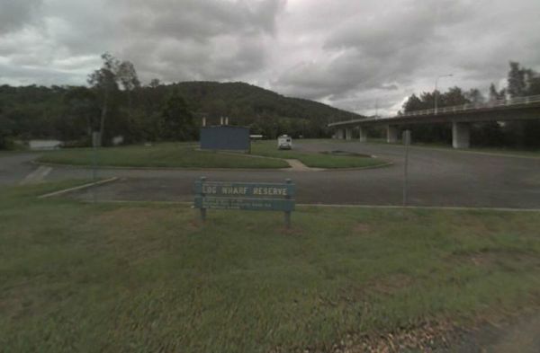
Log Wharf Reserve Rest Area
Entrance to the Log Wharf Reserve Rest Area Log Wharf Reserve Rest Area location map
, , , , ,

Macksville Lions Park Rest Area
The Macksville Lions Park Rest Area Entrance to the Macksville Lions Park Rest Area Macksville Lions Park Rest Area location map
, , , , , ,
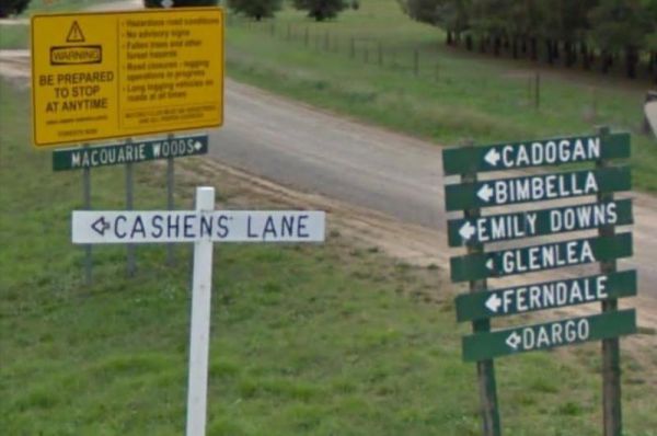
Entrance to the Macquarie Woods Forest Reserve Free Camping Grounds Macquarie Woods Forest Reserve Free Camping Grounds location map
, , , , , , ,
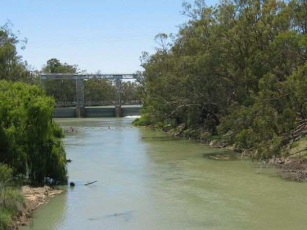
Mann River Caravan Park
Entrance to the Mann River Caravan Park Mann River Caravan Park location map
, , , , , , , , ,
Mann River Nature Reserve location map
, , , , ,
Marr Creek Rest Area
Entrance to the Marr Creek Rest Area Marr Creek Rest Area location map
, , , , ,
Entrance to the McNamara Park Rest Area 72 Hour Limit McNamara Park Rest Area 72 Hour Limit location map
, , , , ,
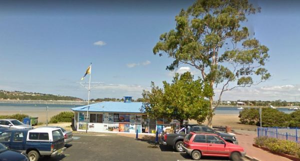
Entrance to the Merimbula Visitor Information Centre Merimbula Visitor Information Centre location map
, ,
Entrance to the Mick Tuck Riverside Reserve 24 Hour Limit Mick Tuck Riverside Reserve 24 Hour Limit location map
, , , , , , ,
Myall Creek Rest Area
Entrance to the Myall Creek Rest Area Myall Creek Rest Area location map
, , ,

Nambucca Valley Visitor Information Centre
Entrance to the Nambucca Valley Visitor Information Centre Nambucca Valley Visitor Information Centre location map
, ,
Entrance to the Newcastle Visitor Information Centre Newcastle Visitor Information Centre location map
,

Nobles Beach Camping Area
Nobles Beach Camping Area location map
Entrance to the Numeralla River Rest Area Numeralla River Rest Area location map
, , , ,
Entrance to the Nyngan Riverside Tourist Park Nyngan Riverside Tourist Park location map
, , , , , , , , , ,
Entrance to the Nyngan Rotary Park Rest Area Nyngan Rotary Park Rest Area location map
, , , , ,
Oaky Creek Rest Area
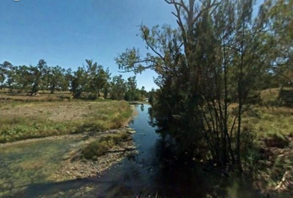
Not much to do at the Oaky Creek Rest Area, I'm not sure about fishing in the Oaky Creek as it is rather small, but there might be a yabby hiding in there somewhere. Entrance to the Oaky Creek Rest Area Oaky Creek Rest Area location map
, ,
Old Bonalbo Pioneers Park Rest Area
Entrance to the Old Bonalbo Pioneers Park Rest Area 24 Hour Limit Old Bonalbo Pioneers Park Rest Area 24 Hour Limit location map
, , , , ,
Old Camp
The camping spots situated next to your car have patches of grass, although they are primarily dirt-covered. Several garbage bins and fire pits are available for your convenience. This area offers a tranquil swimming location in the winter and is a popula ...
, , , ,
Pamamaroo Lake Camping Area Burke and Wills location map
Pilgrim Memorial Park Rest Area
Entrance to the Pilgrim Memorial Park Rest Area Pilgrim Memorial Park Rest Area location map
, , , , , ,
Pinch River Camping Area
Pinch River Camping Area location map
Pipers Reserve Camping Area location map
Entrance to the Pocock Park Rest Area Pocock Park Rest Area location amp
, , , , , ,
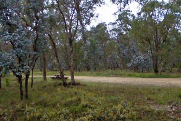
Porters Creek Picnic Area location map
, , , ,
Entrance to the Private Jackson Park Gungal Rest Area Private Jackson Park Gungal Rest Area location map
, , , ,
Quicks Beach Camping Area with a nice sandy beach, is not a bad spot to free camp, but it gets pretty busy during holidays.Note: Low clearance caravans may have difficulty crossing the small spillway Entrance to the Quicks Beach Camping Area Quicks Beac ...
Ration Point Camping Area location map 360 View

Entrance to the RedBank Rest Area RedBank Rest Area location map
, , , , , ,
Rock Flat Camping Area
Rock Flat Camping Area location map
Rocks Crossing Reserve
Entrance to the Rocks Crossing Reserve Rocks Crossing Reserve location map
, , ,
Rudds Point Reserve Camping Area
Entrance to the Rudds Point Reserve Camping Area Rudds Point Reserve Camping Area location map
Running Waters Camping Area
Running Waters Camping Area location map
Scotchies Yard Camping Area - Permanently Closed
Scotchies Yard Camping Area location map
Entrance to the Seven Mile Beach Holiday Park Seven Mile Beach Holiday Park location map
, , , , , , , , , ,
Entrance to the Severn River Rest Area Severn River Rest Area location map
, , ,
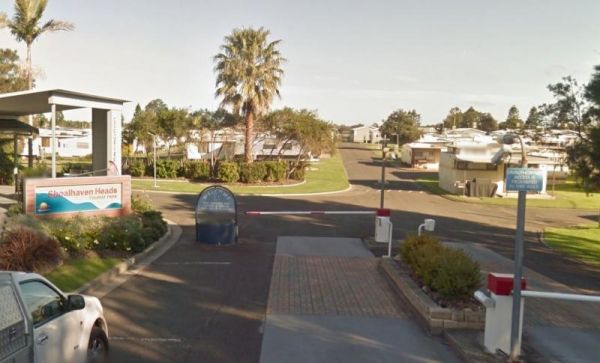
Shoalhaven Heads Holiday Park
Entrance to the Shoalhaven Heads Holiday Park Shoalhaven Heads Holiday Park location map
, , , , , , , , , , , , ,
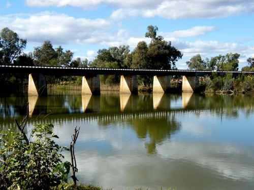
No Camping is permitted at the Shoalhaven River Crossing, but it's a great place to prospect for some gold, stretch your legs and maybe catch a fish for dinner. Entrance to the Shoalhaven River Crossing Shoalhaven River Crossing location map
Entrance to the Shoalhaven Zoo - Campsite Shoalhaven Zoo - Campsite location map
,  , , , , ,
Entrance to the Stewarts Crossing Camping Area Stewarts Crossing Camping Area location map
Entrance to the Stoney Creek Rest Area Stoney Creek Rest Area location map
, , ,
Straneys Bridge Camping Area
Entrance to the Straneys Bridge Camping Area Straneys Bridge Camping Area location map
Entrance to the Surf Beach Holiday Park Surf Beach Holiday Park location map
, , , , , , , , , ,
Swaggies Beach Camping Area
Swaggies Beach Camping Area location map
Entrance to the Swan Brook Rest Area Swan Brook Rest Area location map
, , ,
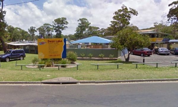
Entrance to the Swan Lake Holiday Park Swan Lake Holiday Park location map
, , , , , , , , , , , , , , ,
Terramungamine Reserve 24 Hour Limit
Terramungamine Reserve 24 Hour Limit location map
, , , , , ,
Entrance to the The Pines Camping Area The Pines Camping Area location map
, , ,
Entrance to the Tia River Rest Area Tia River Rest Area location map
, , , , ,
Tom Groggin Camping Area
Entrance to the Tom Groggin Camping Area Tom Groggin Camping Area location map
Tooloom Falls Camping Area
The Tooloom Falls Camping Area has a few drop toilets and a few picnic table, you will also find some fire pits scattered around this campsite. It's a nice place to visit during the week as its relatively quite, and tends to get a few more campers through ...
Towong Reserve Camping Area
Towong Reserve Camping Area Towong Reserve Camping Area location map
Trial Bay Campground
The Trial Bay Campground is a very popular destination.I suggest booking in advance as the best spots book out fast.There is a dump point at trial bay campground. It's around the front, past the boat ramp and below the gaol, in the 'overflow area. Entran ...
, , , , , ,
Entrance to the Tuena Camping & Picnic Ground Tuena Camping & Picnic Ground location map
, , , , ,
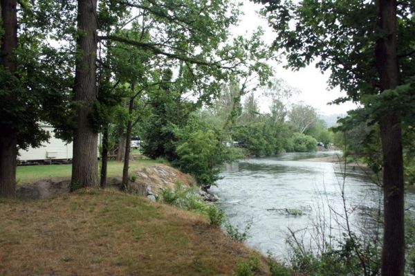
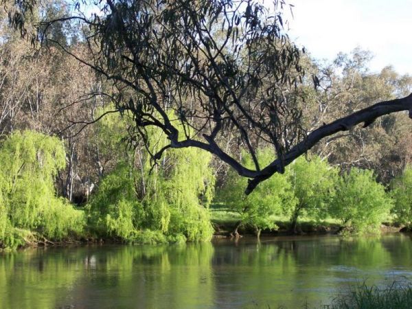
Tumut Caravan Park NSW
Stayed a few nights at Riverglade CP. before going over the Snowy Mountain Hwy. to Cooma.Quite a lovely park,right on the river,lots to see around the area.They have leaflet with 5 day trips to do,we will certainly come back.
, , , , , , , , , , , ,
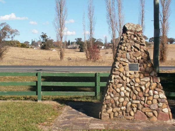
Wallabadah Rest Area
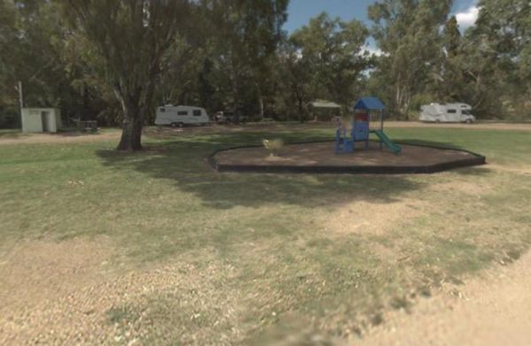
Wallabadah Rest Area is located on the banks of the Qurindi Creek with shaded areas to park your caravan. A children's playground and toilet are onsite to make it a pleasant stopover.Make sure you walk over and take a look at the First Fleet Memorial Gard ...
, , , , ,
The Wallacetown Rest Area is limited to a 24 Hour overnight stay. It has a handy toilet facility and plenty of places to park your rig no matter what size it is, plus a few undercover picnic tables. The Houlaghans Creek is just about 30 meters behind this ...
, , , , ,
Wallaroi Creek Rest Area
The Wallaroi Creek Rest Area is set back a short distance from the main road. So its a place to take a short break from driving, and stretch your legs. Entrance to the Wallaroi Creek Rest Area Wallaroi Creek Rest Area location map
, , ,
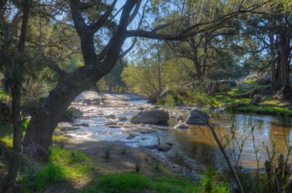
The Warri Camping Reserve has a toilet onsite, with plenty of camping spots located next to the Shoalhaven River. Fishing enthusiasts and photographers will definitely like this spot. Entrance to the Warri Camping Reserve Warri Camping Reserve locatio ...
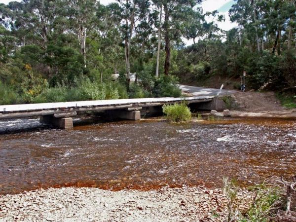
The Wells Crossing Rest Area is on the banks of the Seven River, with plenty of room for all. With lots of room, plus fishing, makes this a nice place to visit. Wells Crossing Rest Area location map
, ,
The Woodburn Park Rest Area has a toilet block, and plenty of picnic tables along the Richmond River, so you can catch lunch if your into fishing, or cross the road and buy a meal. Entrance to the Woodburn Park Rest Area Woodburn Park Rest Area locati ...
, , ,

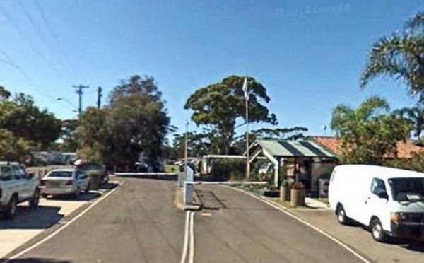
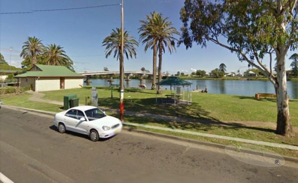
The Woodburn Park Visitor Information Centre is located on the banks of the Richmond River. There are plenty of shops across the road to keep you occupied. The littlies are also catered for her, there is a small playground and toilets nearby. Entrance to ...
, , ,
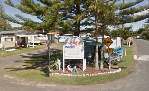
The Wooli Caravan Park is located between the Wooli Wooli River and the open Ocean {tab title="Local Places to Eat" class="grey"} Harry's Chinese Restaurant, Bowling Club Main Street Wooli Bowling & Recreation Club, Lawn Bowls Club · Main Street ...
, , , , ,
Woolridge Fossicking Camping Area
The Woolridge Fossicking Camping Area is near the Rocky River. Toilets, rubbish bins, a few picnic tables and plenty of shade make this a nice camping spot. Entrance to the Woolridge Fossicking Camping Area Woolridge Fossicking Camping Area location m ...
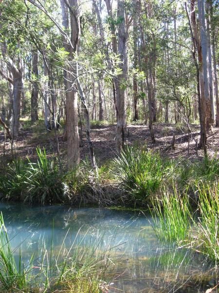
The Yalwal Camping Area is on the banks of the Danjera Creek dam area. There is plenty of room for all sized rigs, and fishing would be one of the activities here. Entrance to the Yalwal Camping Area Yalwal Camping Area location map
The Yanga Creek Rest Area is set back a fair way from the Sturt Highway with very little shade. There is also nothing between you and the main road so you will hear the traffic as it passes by. You might spend some of your time here allowing your dog to h ...
, , ,
Yarrangobilly Village Camping Area
The Yarrangobilly Village Camping Area is a Large open grassy area with direct access to the shallow creek. If you want do some fishing, you will need to walk the creek to find a few deeper holes. Entrance to the Yarrangobilly Village Camping Area Yar ...