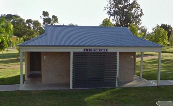
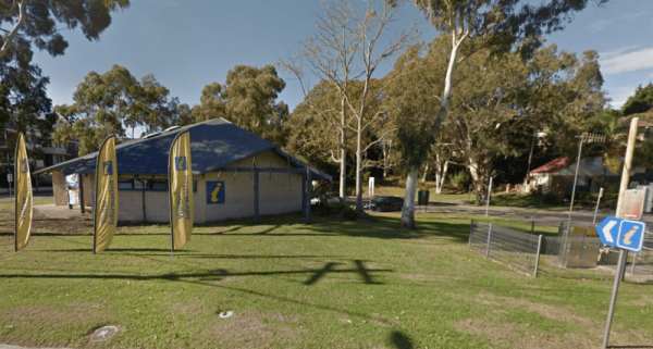
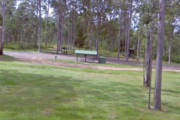
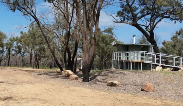
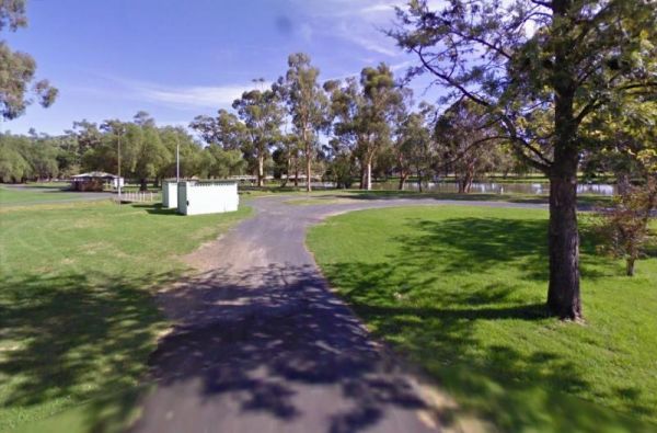
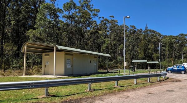
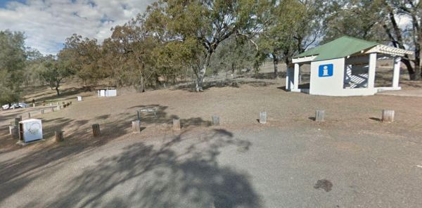
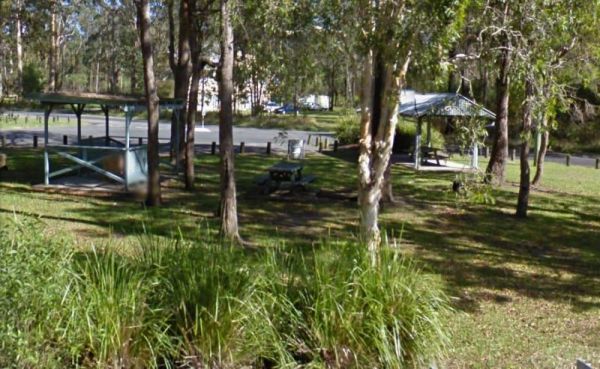
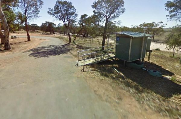
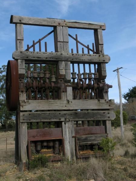
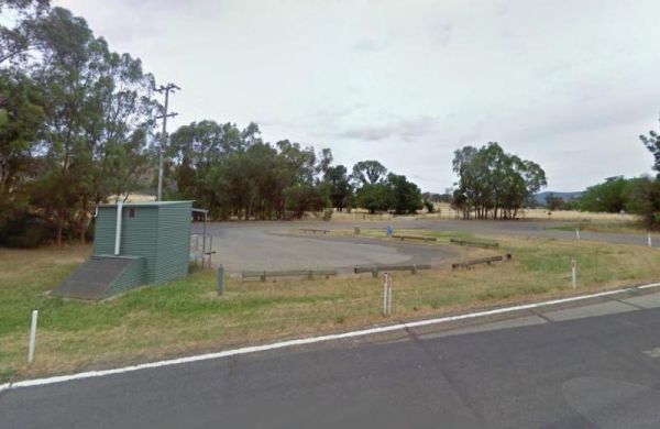
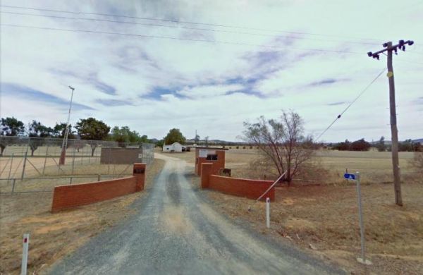
Facilities: Amenities Block
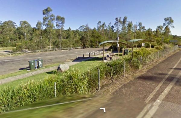
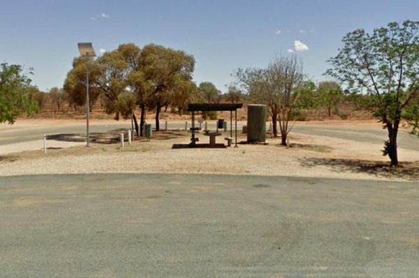
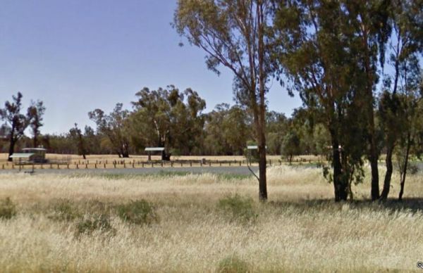
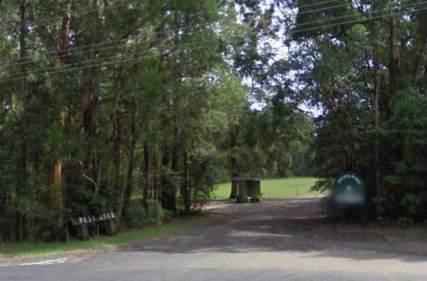
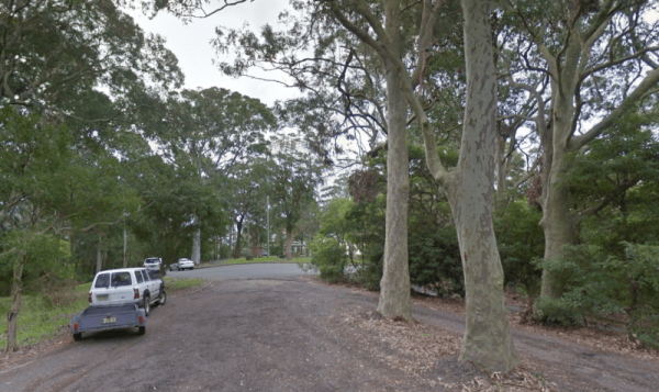
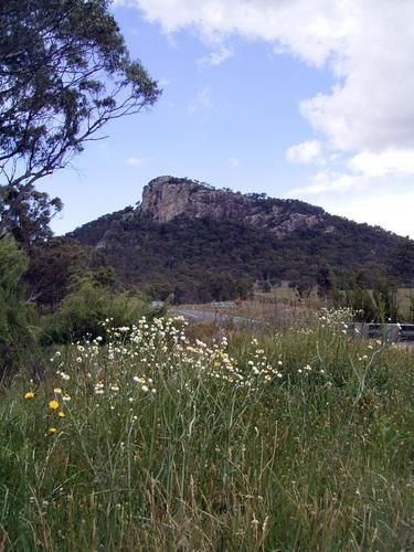
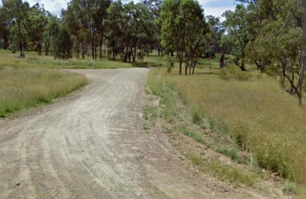
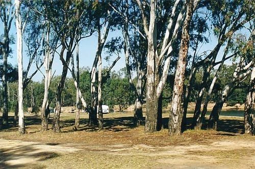
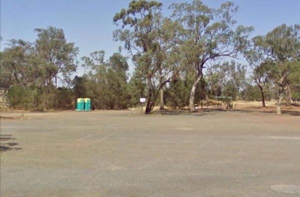
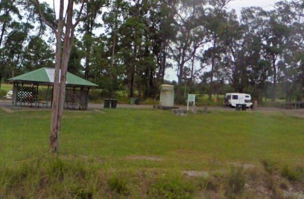
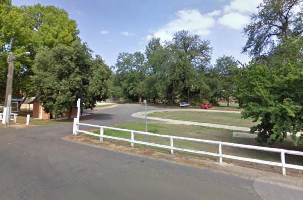
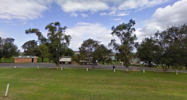
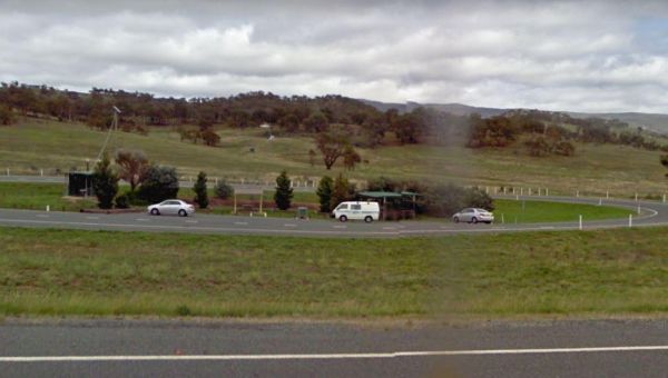
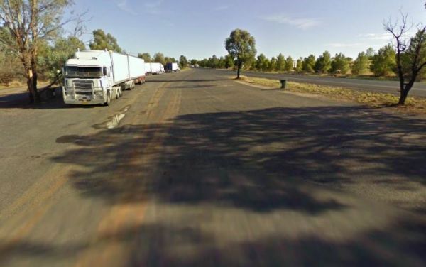
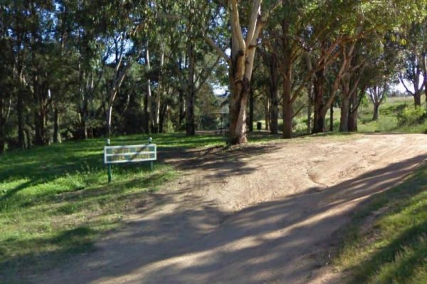
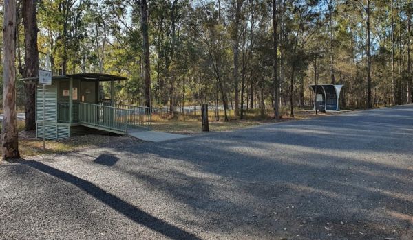
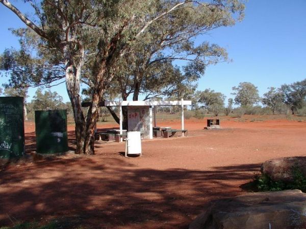
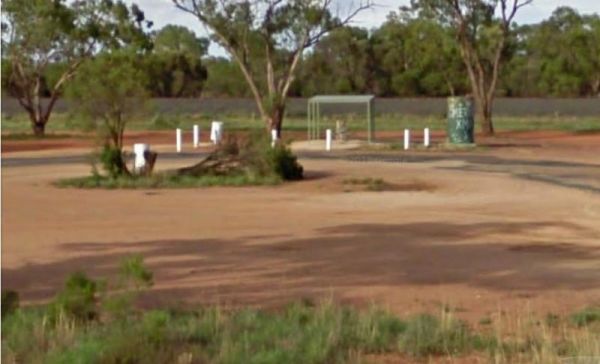
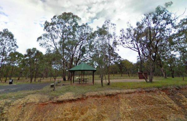
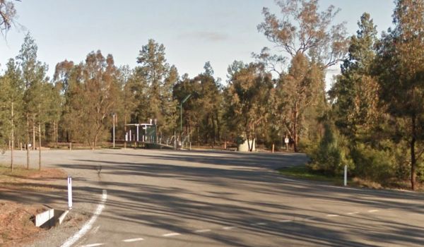
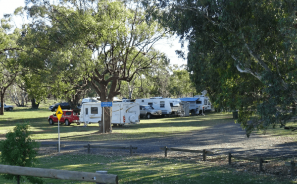
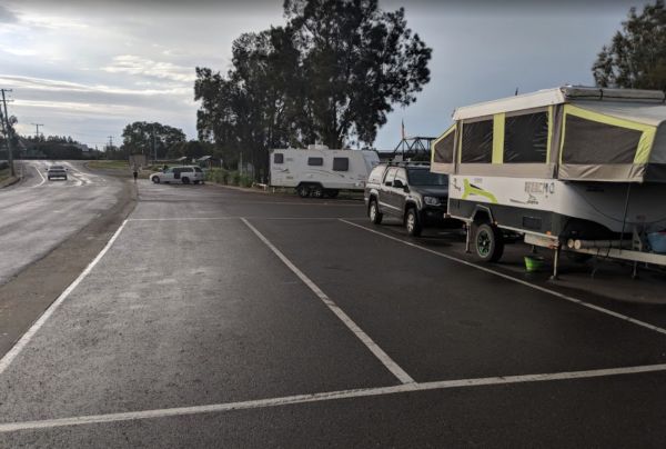
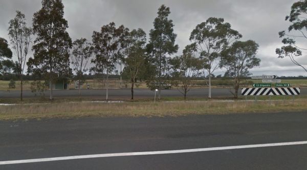
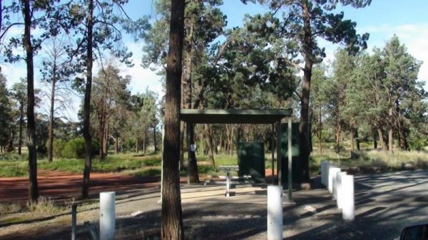
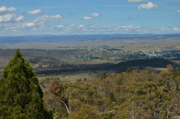
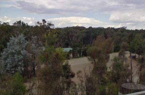
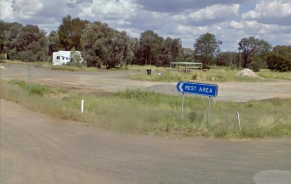
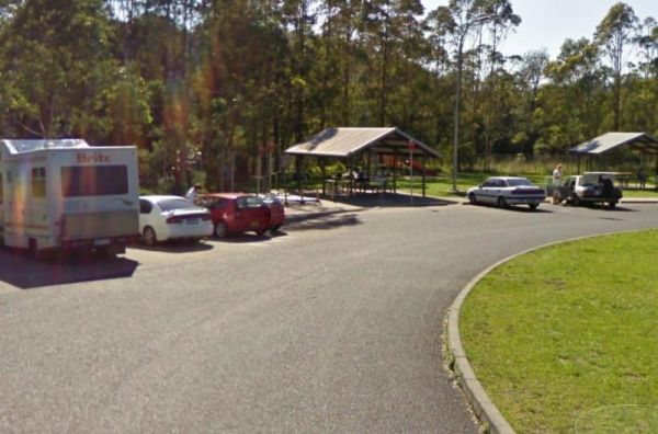
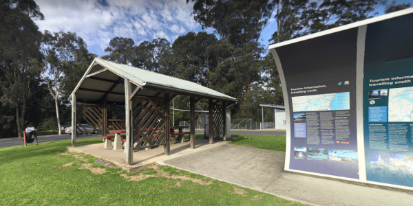
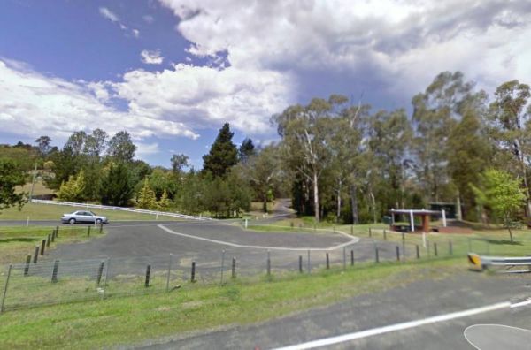
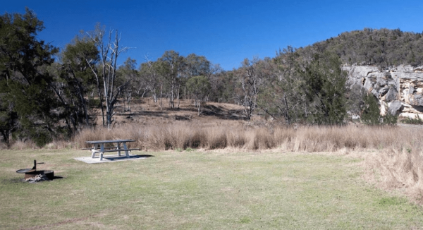
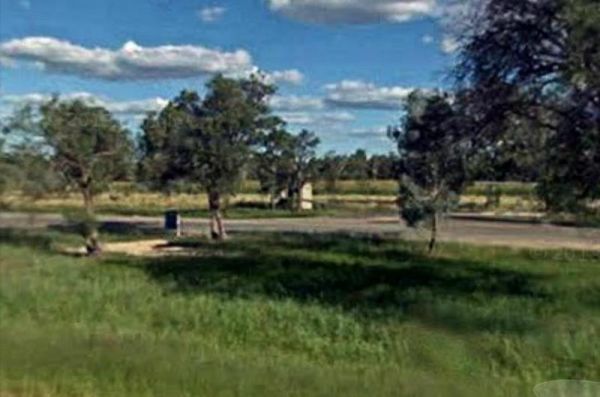
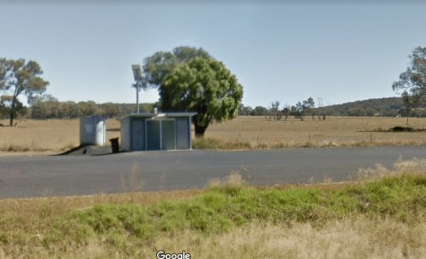
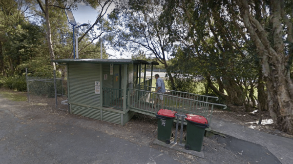
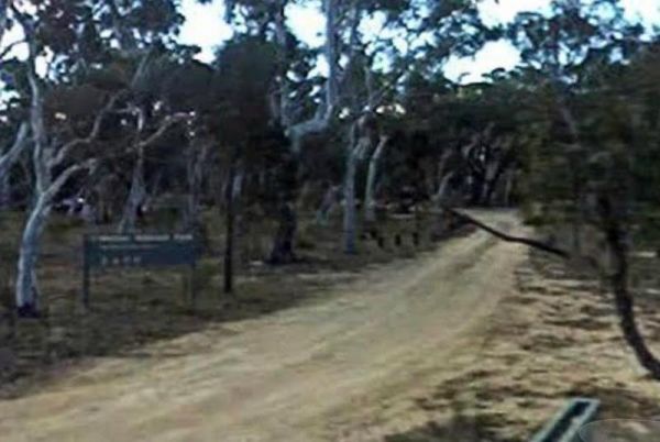
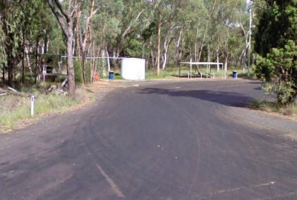
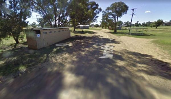
The 12 Mile Rest Area is a popular truck rest area, with plenty of parking and rubbish bins. It's an OK spot for a rest from driving. entrance to the 12 Mile Rest Area 12 Mile Rest Area location map
 ,
,  ,
,  ,
, 
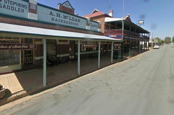
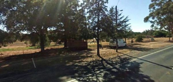
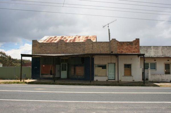
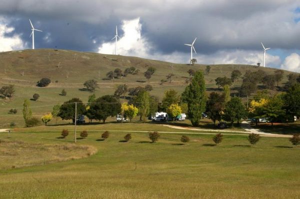
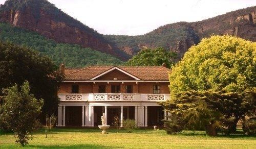
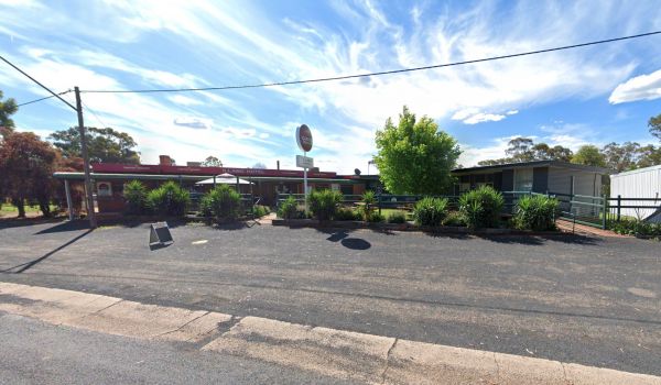
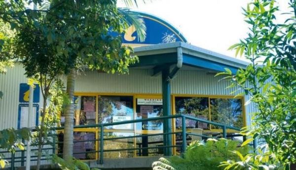
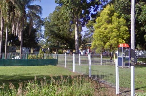
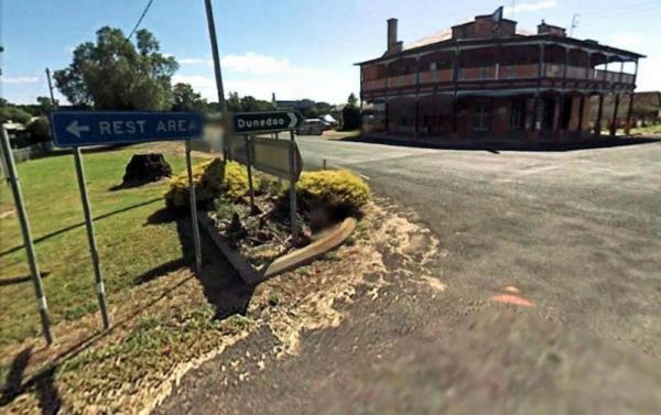
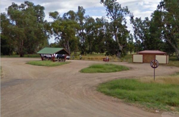
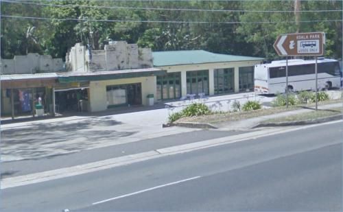
The Commercial Hotel is right next door. So why not drop in for a bite to eat while your there. There is a more upmarket Segenhoe Inn Luxury Boutique Hotel and B&B across the road also. Entrance to the A.F. Taylor Park Rest Area
,  ,
,  , , ,
, , ,  ,
,
Entrance to the Aeroplane Parking Bay Aeroplane Parking Bay location map
,  ,
,  , ,
, ,
Entrance to the Airport Rest Area Airport Rest Area location map
,  ,
,  , ,
, ,
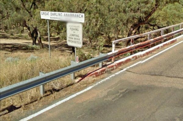
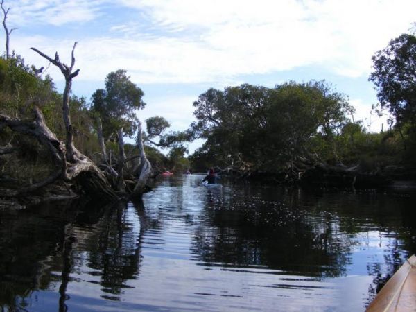
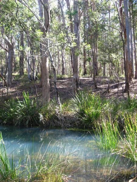
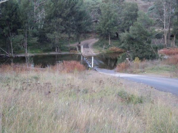
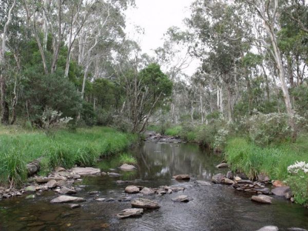
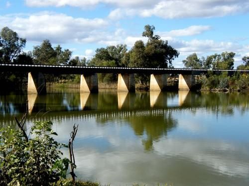
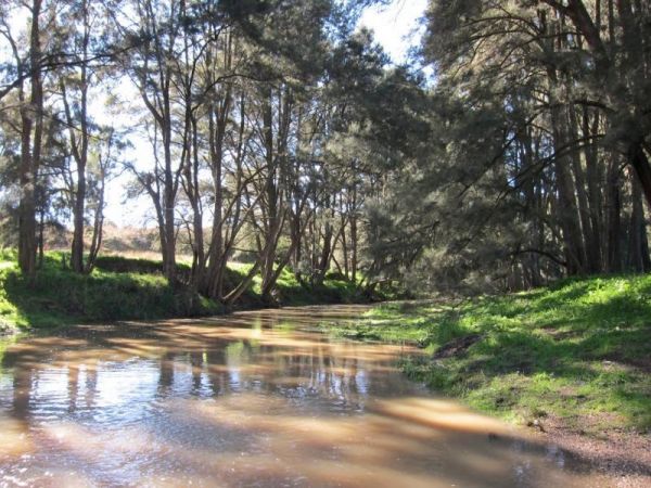
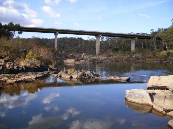
The Anabranch Bridge Rest Area the Great Darling Anabranch is often a dry creek bed, so make sure you are carrying enough drinkable water with you, and don't expect to catch your fish dinner here, the water levels fluctuate with the seasons. Entrance to ...
,
Entrance to the Anderson VC Rest Area Anderson VC Rest Area location map
, ,
Entrance to the Araluen Creek Rest Area Araluen Creek Rest Area location map
, ,  , ,
, ,
Entrance to the Ardlethan Rest Area Ardlethan Rest Area location map
, , ,
Entrance to the Ariah Park Campground Ariah Park Recreation Reserve location map
, ,  , , ,
, , ,
Entrance to the Armidale Tourist Park Armidale Tourist Park location map
, , , , , , ,
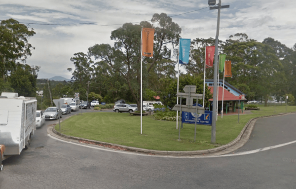
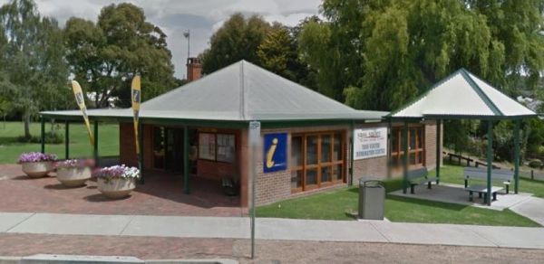
Entrance to the Armidale Visitor Information Centre Armidale Visitor Information Centre location map
,
Entrance to the Austin Tourist Park Austin Tourist Park location map
, ,  , , , , , ,
Entrance to the Baden Park Rest Area Baden Park Rest Area location map
, , , , ,
Entrance to the Ballina Visitor Information Centre Ballina Visitor Information Centre location map
, ,

Entrance to the Bangalow North Rest Area Bangalow North Rest Area location map
, ,
Entrance to the Barbour Park 48 Hour Limit Barbour Park 48 Hour Limit location map
, , , , ,
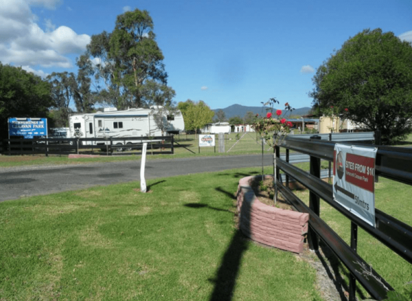
The Barham Caravan & Tourist Park is located on the banks of the Murray River. So it's time to wet the bottom of your kayak and go for a paddle and explore the river. Entrance to the Barham Caravan & Tourist Park. Barham Caravan & Tourist ...
, ,  , , , , , , ,
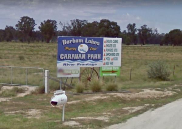
Entrance to the Barham Lakes Caravan Park Barham Lakes Caravan Park location map
, , ,  , ,
, ,  , , , ,
  ,
,  ,
,  , ,
, ,
If staying overnight at Barmedman Mineral Pool Rest Area Camping Fees apply. Walk down Barmedman Rd to the pubs and main strip shopping centre. Entrance to the Barmedman Mineral Pool Rest Area Barmedman Mineral Pool Rest Area location map
, , ,
Entrance to the Barraba Lions Park Rest Area Barraba Lions Park Rest Area location map
, , , , , ,
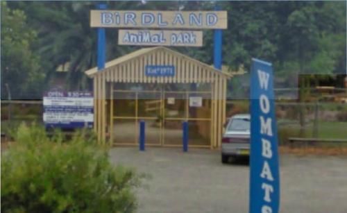
Entrance to the Batemans Bay - Birdland Animal Park Batemans Bay - Birdland Animal Park location map
, ,
Entrance to the Batemans Bay Tourist Information Centre Batemans Bay Tourist Information Centre location map
,
Entrance to the Bathurst Visitor Information Centre Bathurst Visitor Information Centre location map
,
Entrance to the Battery Rock Rest Area Battery Rock Rest Area location map
,
Entrance to the Beckom Rest Area Beckom Rest Area location map
,
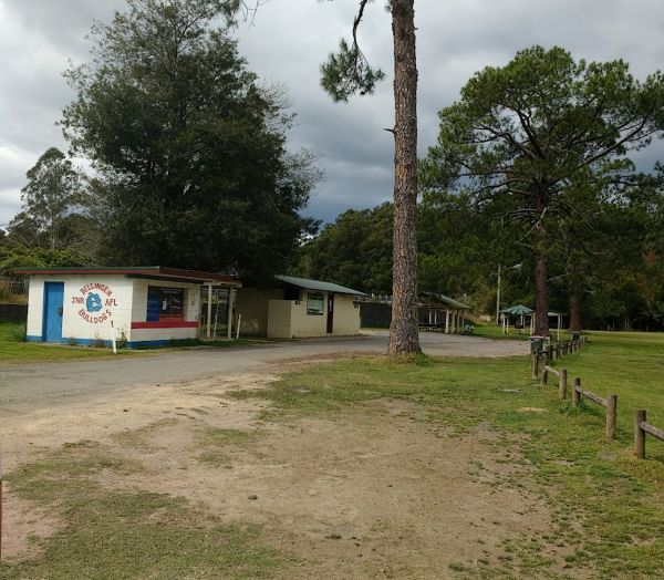
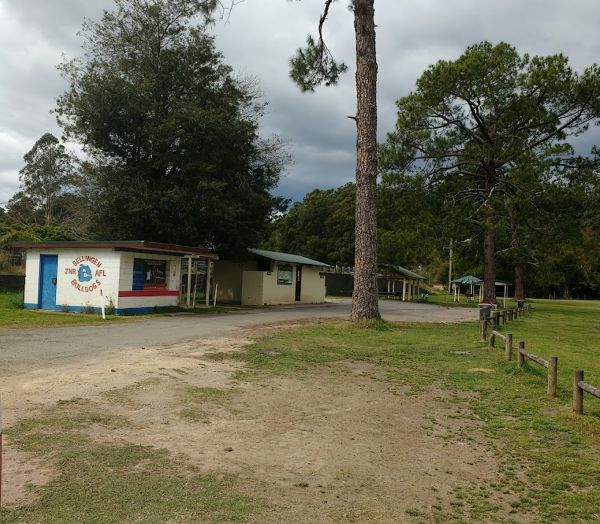
Entrance to the Bellingen Shire Tourist Information Centre Bellingen Shire Tourist Information Centre location map
, , ,
Entrance to the Bemboka Rest Area Bemboka Rest Area location map
, , , , , , ,
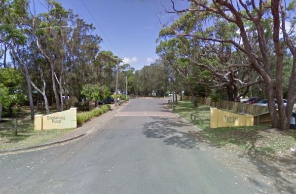
Entrance to the Holiday Haven Bendalong Holiday Haven Bendalong location map
, , , , , ,  , , ,
, , , 

Bendeela Reserve Camping Area location map
The Bendemeer Apex Park Rest Area has a maximum stay of 24 hours. It has plenty of room for drive through caravans and big rigs. You will find a public toilet block, and some tap water, there is limited shade, some picnic tables and BBQ's. The Macdonald R ...
Bendemeer Park Rest Area is a REST AREA ONLY NO CAMPING Allowed. Entrance to the Bendemeer Park Rest Area Bendemeer Park Rest Area location map
Entrance to the Bendick Murrell Rest Area Bendick Murrell Rest Area location map
, ,
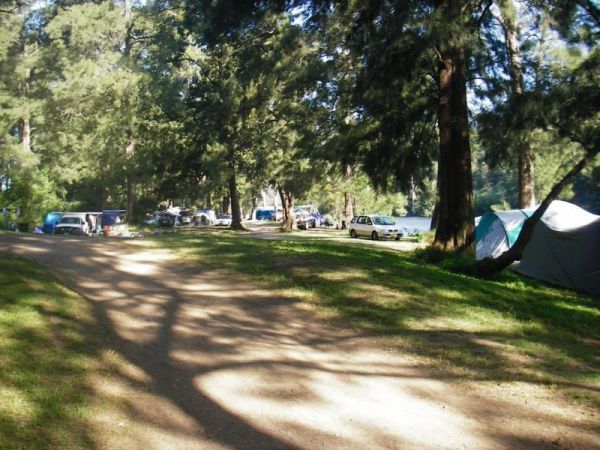
The Bents Basin campground do not permit the use of Petrol Generators, if you intend to use the fireplaces remember to bring your own firewood, Plus No-Smoking is permitted in any NSW national parks.For Bookings contact the Scheyville office02 4572 3100 C ...
, , ,
Entrance to the Bermagui Visitor Information Centre Bermagui Visitor Information Centre location map
,
Entrance to the Berry Jerry Rest Area Berry Jerry Rest Area location map
, ,
Entrance to the Bethungra Rest Area Bethungra Rest Area location map
, , ,
Entrance to the Bewong Rest Area Bewong Rest Area location map
, ,
Entrance to the Bicentennial Gardens Rest Area Bicentennial Gardens Rest Area location map
, , ,
Entrance to the Bilpin Reserve Rest Area Bilpin Reserve Rest Area location map
, , ,
Entrance to the Binalong Rest Area 24 Hour Limit Binalong Rest Area 24 Hour Limit location map
, , , , ,
Entrance to the Black Springs Rest Area Black Springs Rest Area location map
, , ,
Entrance to the Blackbutt Reserve Blackbutt Reserve location map
, ,
Entrance to the Blandford Rest Area Blandford Rest Area location map
, , , , ,
Entrance to the Bloodwood Ridge Rest Area Northbound Bloodwood Ridge Rest Area Northbound location map
,
Entrance to the Blue Mountains Heritage Centre Blue Mountains Heritage Centre location map
,
Entrance to the Bluff Rock Rest Area Bluff Rock Rest Area location map
, , , ,
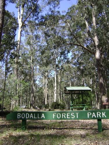
Entrance to the Bodalla Forest Park Rest Area Bodalla Forest Park Rest Area location map
, , , ,
Entrance to the Bohena Creek Rest Area Bohena Creek Rest Area location map
, , ,
The Bonnie Vale Campground is Closed Due to Asbestos contamination, and may or maynot be reopened. For more information contact NSW National Parks and Wildlife Services. Entrance to the Bonnie Vale Campground Bonnie Vale Campground location map
, , , ,
Entrance to the Bonshaw Weir Camping Area Bonshaw Weir Camping Area location map
Entrance to the Bookham Park Rest Area Bookham Park Rest Area location map
, ,
Entrance to the Boolooroo Rest Area Boolooroo Rest Area location map
, , , , ,

Bourkes Bend State Forest Camping Area location map
Bourkes Bend State Forest Camping Area location map
Entrance to the Bowna Rest Area Bowna Rest Area location map
, ,
Entrance to the Bretti Reserve Camping Area Bretti Reserve Camping Area location map
Entrance to the Brocklehurst Rest Area Brocklehurst Rest Area location map
, , ,
Entrance to the Brooms Head Caravan Park Brooms Head Caravan Park location map
, , , , ,  , ,
, ,
Browns Flat Rest Area Southbound is a large area with plenty of room for large caravans motorhomes ect. Please Note NO CAMPING is Permitted at this rest stop. Entrance to the Browns Flat Rest Area Southbound Browns Flat Rest Area Southbound location m ...
, , ,
Entrance to the Bulahdelah South Rest Area Bulahdelah South Rest Area location map
, ,
Entrance to the Bummaroo Ford Campground Bummaroo Ford Campground location map
Entrance to the Bundaburrah Rest Area Bundaburrah Rest Area location map
, ,
Entrance to the Bundure Rest Area Bundure Rest Area location map
,
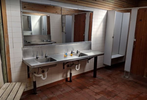
Burdett Park is situated alongside the main road, which means you may experience some road noise. However, the on-site public toilets are typically well-maintained and equipped with running water and a spacious sink. Adjacent to the toilets, there's a cov ...
, , , , ,
Burdett Park is situated alongside the main road, which means you may experience some road noise. However, the on-site public toilets are typically well-maintained and equipped with running water and a spacious sink. Adjacent to the toilets, there's a cov ...
, , , , ,
Entrance to the Burraga Dam Camping Area Burraga Dam Camping Area location map
Entrance to the Burrawan Rest Area Burrawan Rest Area location map
,
Entrance to the Burren Junction Baths Reserve Camping Area Burren Junction Baths Reserve Camping Area location map
, , ,
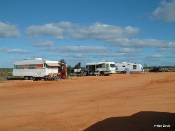
Entrance to the Burrill Lake Park Rest Area Burrill Lake Park Rest Area location map
, , , , ,
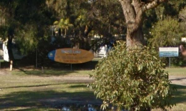
Entrance to the Burrill Lake Tourist Park Burrill Lake Tourist Park location map
, , ,
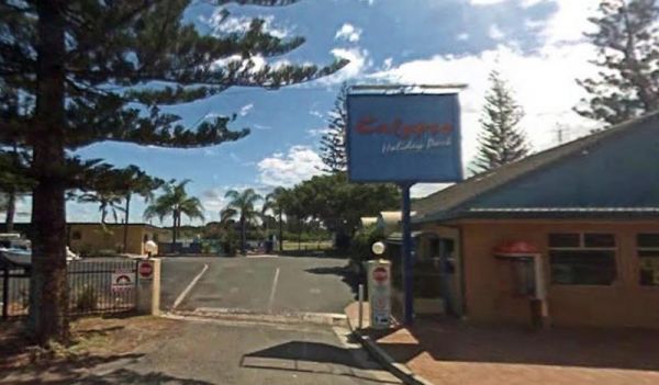
Entrance to the Calypso Holiday Park Calypso Holiday Park location map
, , , , ,
Entrance to the Candelo Rest Area Candelo Rest Area location map
, , , ,
Entrance to the Capertee Rest Area Capertee Rest Area location map
, , ,
Please specify a grassed site if you have a camper van that needs tent pegging Maximum Stay 28 Days Entrance to the Capital Country Holiday Park Capital Country Holiday Park Location Map
,  , ,
, ,  , , ,
, , ,  , , , , ,
Entrance to the Caragabal Rest Area Caragabal Rest Area location map
, ,
Entrance to the Carcoar Dam Water Reserve Camping Area Carcoar Dam Water Reserve Camping Area location map
, , ,
Entrance to the Caroona Hall Rest Area 48 Hour Limit Caroona Hall Rest Area 48 Hour Limit location map
,
Entrance to the Casino South Rest Area Casino South Rest Area location map
,
Entrance to the Cassilis Park Rest Area Cassilis Park Rest Area location map
,
Entrance to the Cawsey Rotary Park Cawsey Rotary Park location map
,
Entrance to the Chowne VC Rest Area Chowne VC Rest Area location map
, , ,
Entrance to the Coffs Coast Visitor Information Centre Coffs Coast Visitor Information Centre location map
,
Colinton Rest Area entrance area Colinton Rest Area location map
,
Entrance to the Collie East Rest Area Collie East Rest Area location map
, ,
Entrance to the Colombo Park Colombo Park location map
, , , , ,
Entrance to the Coo-Ee March Memorial Park Coo-Ee March Memorial Park location map
, , ,
Coopernook Forest Park Camping Area location map
, ,
The Coraki Riverside Caravan Park Located on the banks of the Richmond River, and the Coraki Hotel is directly opposite, so a drink and a meal are just a short walk away.Note: Maximum 2 weeks stay The Coraki Art Festival - October each year Entrance ...
, , , , ,
Entrance to the Corunna Lake National Park Rest Area Corunna Lake National Park Rest Area location map
, ,
Entrance to the Cowra Visitor Information Centre Cowra Visitor Information Centre location map
, ,
Entrance to the Crooked Creek Rest Area Crooked Creek Rest Area location map
, , , ,
Entrance to the Currajong Rest Area Currajong Rest Area location map
, ,
Entrance to the Currarong Beachside Holiday Park Currarong Beachside Holiday Park location map
, , , , , , , ,  ,
, 
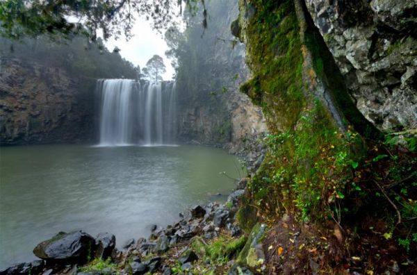
Entrance to the Dangar Falls Picnic Area Dangar Falls Picnic Area location map
, , , , , ,
Entrance to the Darbys Falls River Reserve Rest Area Darbys Falls River Reserve Rest Area location map
, , ,
Entrance to the Depot Beach Campground Depot Beach Campground location map
, , , ,
Entrance to the Derrick VC Rest Area Derrick VC Rest Area location map
, , ,
Entrance to the Diamond Head Campground Diamond Head Campground location map
, ,
Entrance to the Dinjerra Road Rest Area Dinjerra Road Rest Area location map
, ,
Entrance to the Dolo Hill Rest Area Dolo Hill Rest Area location map
,
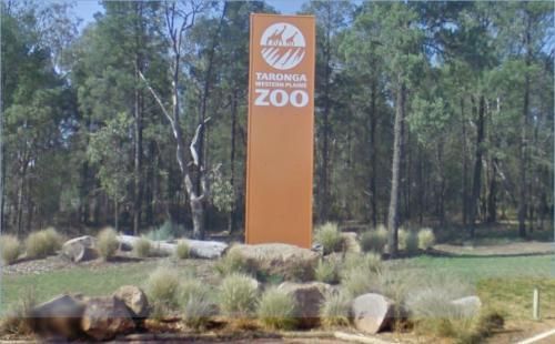
Entrance to the Dubbo - Taronga Western Plains Zoo Dubbo - Taronga Western Plains Zoo location map
,
Dumaresq Dam Recreation Area location map
, , , , ,
This is an older style caravan park, it has a few facilities and a tennis court, plus a couple of drive through ensuite sites, with a pub and petrol station next door. Entrance To The Eaglehawk Holiday Park Eaglehawk Holiday Park Location Map
, , , , , , ,
Entrance to the Edgeroi Rest Area Edgeroi Rest Area location map
, , ,
Entrance to the Ellenborough Reserve Camping Area 14 Day Limit Ellenborough Reserve Camping Area 14 Day Limit location map
Entrance to the Emmdale Roadhouse Camping Area Emmdale Roadhouse Camping Area location map
, , ,
Entrance to the Escort Rock Rest Area Escort Rock Rest Area location map
, , , ,
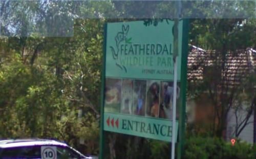
Entrance to the Featherdale Wildlife Park Featherdale Wildlife Park location map
,
Entrance to the Florida Rest Area Florida Rest Area location map
,
Entrance to the Forbes Taylor Underpass Rest Area Forbes Taylor Underpass Rest Area location map
, , , ,
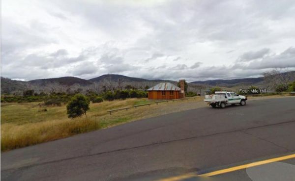
Four Mile Reserve Camping Area location map
Entrance to the French VC Rest Area French VC Rest Area location map
, , , ,
Entrance to the Gara River Rest Area Gara River Rest Area location map
,
Entrance to the Gilgandra Visitor Information Centre Gilgandra Visitor Information Centre location map
, ,
Entrance to the Gilgunnia Rest Area Gilgunnia Rest Area location map
, ,
Entrance to the Gillenbah South Rest Area Gillenbah South Rest Area location map
, ,
Glen Davis Camping Area location map
, , , ,
Entrance to the Glen Riddle Recreation Reserve Glen Riddle Recreation Reserve location map
, , , , ,
Entrance to the Glenugie Creek Rest Area Glenugie Creek Rest Area location map
, ,
Entrance to the Great Aussie Holiday Park Great Aussie Holiday Park location map
, , , , , , ,  , , , ,
Entrance to the Grenfell West Rest Area Grenfell West Rest Area location map
, , , , ,
Entrance to the Grong Grong Park Rest Area 24 Hour Limit Grong Grong Park Rest Area 24 Hour Limit location map
, , , , ,
Entrance to the Gum Bend Lake Camping Area Gum Bend Lake Camping Area location map
, , , , , , ,
Entrance to the Gurney VC Rest Area Gurney VC Rest Area location map
, , , ,
Entrance to the Hawkesbury Visitor Information Centre Hawkesbury Visitor Information Centre location map
, ,
Entrance to the Hay Visitor Information Centre Hay Visitor Information Centre location map
,
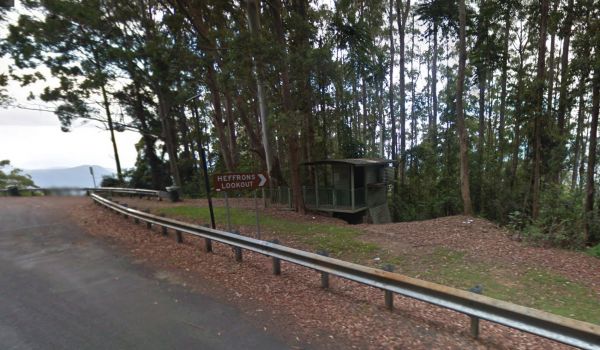
Entrance to the Heffrons Lookout Rest Area Heffrons Lookout Rest Area location map
,
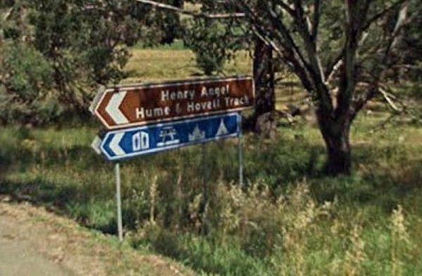
Entrance to the Henry Angel Flat Camping Area Henry Angel Flat Camping Area location map
, , , , , , ,

Entrance to the Henty Man Rest Area Henty Man Rest Area location map
, , ,
Entrance to the Hillston Rest Area Hillston Rest Area location map
, , ,
The Hobart Beach campground has a laundry public toilets and hot showers (the showers are on a timer), you'll find fire pits with a swing bbq plate, and an onsite laundry. There are plenty of tables and bench seats and all the campsites are numbered. Ther ...
, , , ,
Entrance to the Howlong Lions Park Rest Area Howlong Lions Park Rest Area location map
, , , , , ,
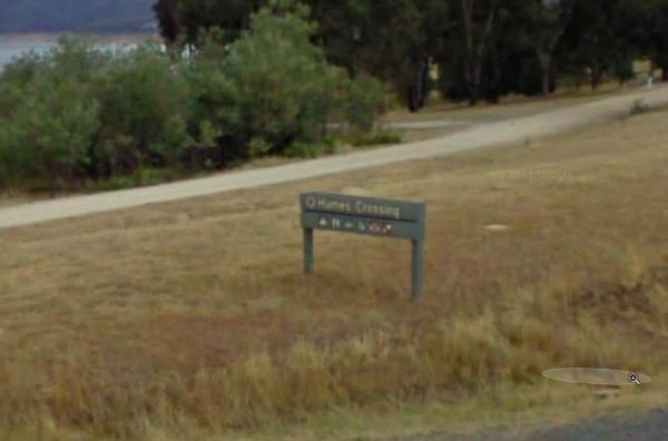
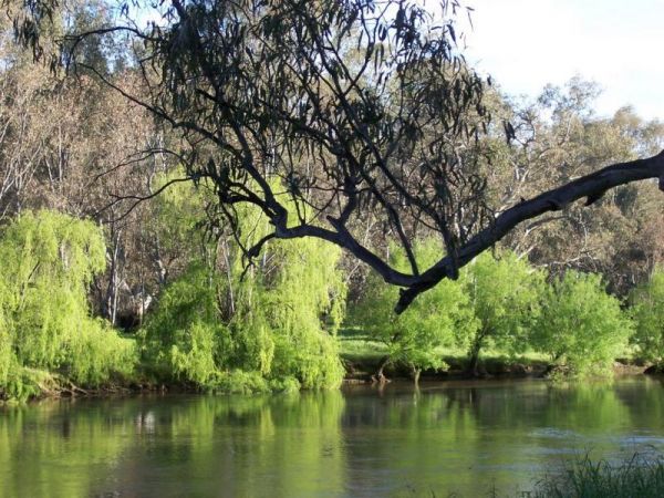
Entrance to the Humes Crossing Camping Area Humes Crossing Camping Area location map
, , ,
Entrance to the Huskisson White Sands Holiday Park Huskisson White Sands Holiday Park location map
, , , , , , , , ,
Entrance to the Ilford Rest Area Ilford Rest Area location map
, , , ,
Entrance to the Illabo Rest Area Illabo Rest Area location map
, , , ,
Entrance to the Jervis Bay Caravan Park Jervis Bay Caravan Park location map
, , , , , , , , ,
Entrance to the Jingellic Reserve Camping Area Jingellic Reserve Camping Area location map
Entrance to the Joyce Pearce Memorial Park Joyce Pearce Memorial Park location map
, , , ,
Entrance to the Kangaroo Valley Tourist Park Kangaroo Valley Tourist Park location map
, , , , , , ,  , , , , ,
Entrance to the Kiama North Rest Area Kiama North Rest Area location map
, , ,
Entrance to the Kiandra Courthouse Rest Area Kiandra Courthouse Rest Area location map
, ,
Entrance to the Kibby VC Rest Area Kibby VC Rest Area location map
, , , ,
Entrance to the Kingsbury VC Rest Area Kingsbury VC Rest Area location map
,
Entrance to the Lake Benanee Rest Area Lake Benanee Rest Area location map
, , , ,
Entrance to the Lake Wallace Reserve Rest Area - 48 Hour Limit Lake Wallace Reserve Rest Area - 48 Hour Limit location map
, , , ,
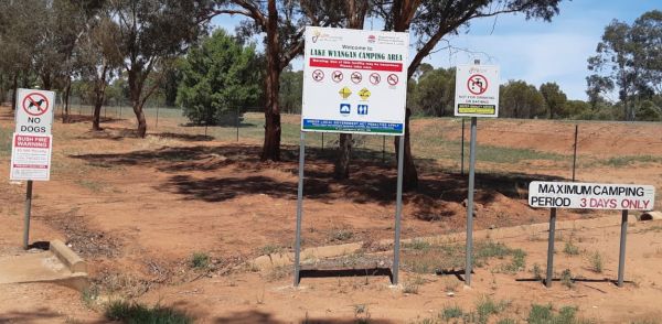
Entrance to the Lake Wyangan Picnic Area 72 Hour Limit Lake Wyangan Picnic Area 72 Hour Limit location map
, , , , , ,
Entrance to the Larras Lee Rest Area Larras Lee Rest Area location map
,
Entrance to the Lightning Ridge Turnoff Rest Area Lightning Ridge Turnoff Rest Area location map
, ,
Entrance to the Lismore Visitor Information Centre Lismore Visitor Information Centre location map
,
Entrance to the Little Billabong Rest Area Little Billabong Rest Area location map
, , ,
Entrance to the Little Styx River Camping Area Little Styx River Camping Area location map
Entrance to the Little Topar Rest Area Little Topar Rest Area location map
, , ,
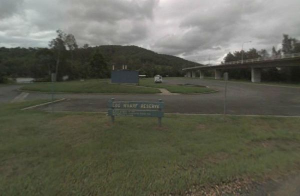
Entrance to the Log Wharf Reserve Rest Area Log Wharf Reserve Rest Area location map
, , , , ,
Entrance to the MacCullochs Range Rest Area MacCullochs Range Rest Area location map
, , , ,
Entrance to the Mackay Park Rest Area Mackay Park Rest Area location map
, , , ,
Entrance to the Mackey VC Rest Area Mackey VC Rest Area location map
, ,
The Macksville Lions Park Rest Area Entrance to the Macksville Lions Park Rest Area Macksville Lions Park Rest Area location map
, , , , , ,
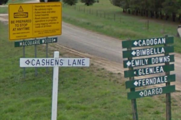
Entrance to the Macquarie Woods Forest Reserve Free Camping Grounds Macquarie Woods Forest Reserve Free Camping Grounds location map
, , , , , , ,
Entrance to the Majors Creek Recreation Reserve 24 Hour Limit Majors Creek Recreation Reserve 24 Hour Limit location map
, ,
Entrance to the Mallee Fowl Rest Area Mallee Fowl Rest Area location map
, , , ,
Entrance to the Mann River Caravan Park Mann River Caravan Park location map
, , , , , , , , ,
Entrance to the Marr Creek Rest Area Marr Creek Rest Area location map
, , , , ,
Entrance to the Marsden Rest Area Southbound Marsden Rest Area Southbound location map
, , ,
Entrance to the Marthaguy Rest Area Marthaguy Rest Area location map
, ,
Entrance to the McNamara Park Rest Area 72 Hour Limit McNamara Park Rest Area 72 Hour Limit location map
, , , , ,
Entrance to the McPhillips Creek Rest Area McPhillips Creek Rest Area location map
, ,
Entrance to the Meadow Glen Rest Area Meadow Glen Rest Area location map
, , , ,
Entrance to the Medowie Rest Area Medowie Rest Area location map
, ,
Entrance to the Meilman East Truck Parking Area Meilman East Truck Parking Area location map
,
Entrance to the Mendooran Free Camp48 Hour Limit Mendooran Free Camp 48 Hour Limit location map
, , , , , , , ,
Entrance to the Mick Tuck Riverside Reserve 24 Hour Limit Mick Tuck Riverside Reserve 24 Hour Limit location map
, , , , , , ,
Entrance to the MIllionth Acre Picnic Area MIllionth Acre Picnic Area location map
,
Entrance to the Minnie Water Holiday Park Minnie Water Holiday Park location map
, , , , , ,
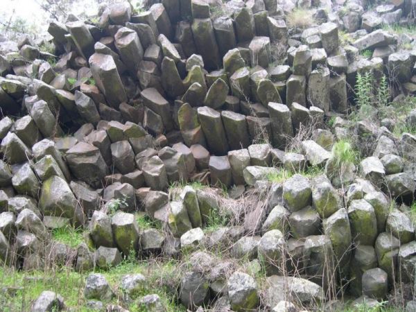
Entrance to the Mount Wingen Burning Mountain Nature Reserve Mount Wingen Burning Mountain Nature Reserve location map
,
Entrance to the Mullaley Park Rest Area Mullaley Park Rest Area location map
, , ,
Entrance to the Mullengandra Creek Rest Area Mullengandra Creek Rest Area location map
,
Entrance to the Mundoonan Truck Stop Rest Area Mundoonan Truck Stop Rest Area location map
, , , , ,
Entrance to the Murrurundi Caravan Park Murrurundi Caravan Park location map
, , , , ,
Entrance to the Narromine East Lions Park Rest Area Narromine East Lions Park Rest Area location map
, ,
Entrance to the Netallie Rest Area Netallie Rest Area location map
,
Entrance to the New Italy Rest Area New Italy Rest Area location map
,
Entrance to the Newmans Road Rest Area Northbound Newmans Road Rest Area Northbound location map
, , ,
Entrance to the Newmans Road Rest Area Southbound Newmans Road Rest Area Southbound location map
, , , , ,
Entrance to the Norman Johnson Park Rest Area 24 Hour Limit Norman Johnson Park Rest Area 24 Hour Limit location map
, ,
Entrance to the North Star Road Rest Area North Star Road Rest Area location map
, ,
Entrance to the Numeralla River Rest Area Numeralla River Rest Area location map
, , , ,
Entrance to the Nungarry Rest Stop Southbound Only Nungarry Rest Stop Southbound Only location map
, , ,
Entrance to the Nyngan Riverside Tourist Park Nyngan Riverside Tourist Park location map
, , , , , , , , , ,
Entrance to the Nyngan Rotary Park Rest Area Nyngan Rotary Park Rest Area location map
, , , , ,
Entrance to the Old Bonalbo Pioneers Park Rest Area 24 Hour Limit Old Bonalbo Pioneers Park Rest Area 24 Hour Limit location map
, , , , ,
The camping spots situated next to your car have patches of grass, although they are primarily dirt-covered. Several garbage bins and fire pits are available for your convenience. This area offers a tranquil swimming location in the winter and is a popula ...
, , , ,
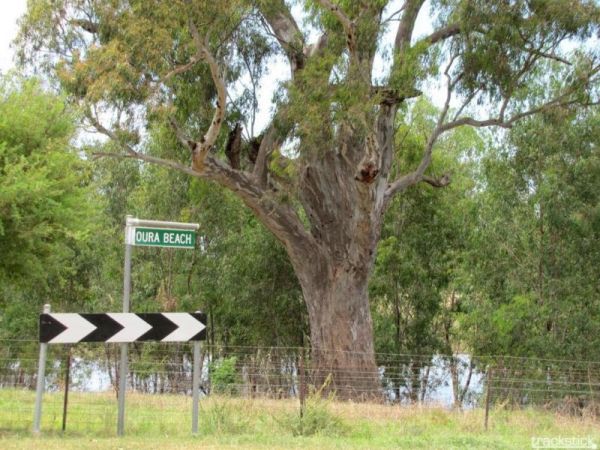
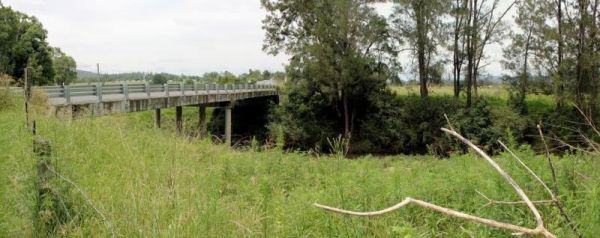
Entrance to the Oura Beach Reserve Oura Beach Reserve location map
, , , ,
Entrance to the Ourimbah Exit Rest Area Ourimbah Exit Rest Area location map
, , ,
Entrance to the Paddy's Rest Area Paddy's Rest Area location map
, ,
Entrance to the Paddys River Falls Camping Area Paddys River Falls Camping Area location map
Entrance to the Pilgrim Memorial Park Rest Area Pilgrim Memorial Park Rest Area location map
, , , , , ,
Pinch River Camping Area location map
Entrance to the Pocock Park Rest Area Pocock Park Rest Area location amp
, , , , , ,
Entrance to the Popiltah Rest Area Popiltah Rest Area location map
,
Entrance to the Port Stephens Treescape Camping and Accommodation Port Stephens Treescape Camping and Accommodation location map
, , , , , , , ,
Entrance to the Pothana Lane Rest Area Pothana Lane Rest Area location map
, , ,
Entrance to the Private Jackson Park Gungal Rest Area Private Jackson Park Gungal Rest Area location map
, , , ,
Entrance to the Quaama Rest Area Quaama Rest Area location map
, , , , ,
Quicks Beach Camping Area with a nice sandy beach, is not a bad spot to free camp, but it gets pretty busy during holidays.Note: Low clearance caravans may have difficulty crossing the small spillway Entrance to the Quicks Beach Camping Area Quicks Beac ...
Raspberry Lookout Gibraltar Range National Park Rest Area location map
, ,
Entrance to the RedBank Rest Area RedBank Rest Area location map
, , , , , ,
Rock Flat Camping Area location map
Entrance to the Roses Park Rest Area Roses Park Rest Area location map
, , , , ,
Entrance to the Round Hill Rest Area Round Hill Rest Area location map
, ,
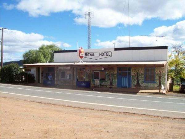
Entrance to the Royal Hotel Mount Hope Rest Area Royal Hotel Mount Hope Rest Area location map
,
Running Waters Camping Area location map
The Sandside Rest Area has toilet facilities, undercover picnic tables and plenty of room for large caravans and motorhomes. Entrance to the Sandside Rest Area Sandside Rest Area location map
, ,
Entrance to the Scrubby Creek Rest Area Scrubby Creek Rest Area location map
, ,
Entrance to the Seven Mile Beach Holiday Park Seven Mile Beach Holiday Park location map
, , , , , , , , , ,
Entrance to the Shadforth Reserve Rest Area Shadforth Reserve Rest Area location map
, , ,
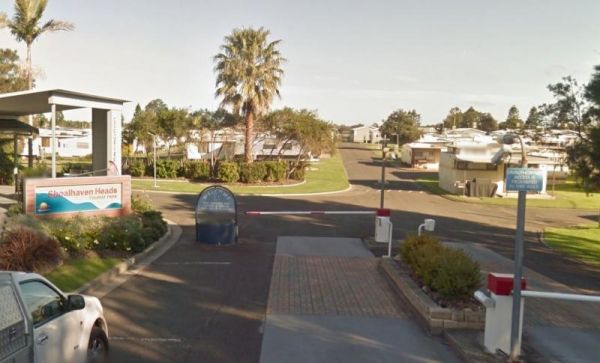
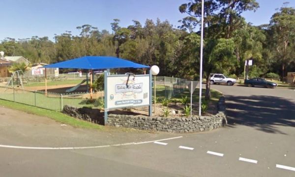
Entrance to the Shoalhaven Heads Holiday Park Shoalhaven Heads Holiday Park location map
, , , , , , , , , , , , ,
Entrance to the Shoalhaven Zoo - Campsite Shoalhaven Zoo - Campsite location map
,  , , , , ,
Entrance to the Singleton East Rest AreaWill be Permanently Closed on the 20th February 2020 Singleton East Rest Area location map
, , , ,
Entrance to the Sleepy Hollow Northbound Rest Area Sleepy Hollow Northbound Rest Area location map
, , ,
Entrance to the Sleepy Hollow Rest Area Southbound Sleepy Hollow Rest Area Southbound location map
, , ,
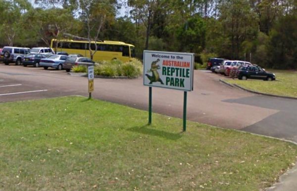
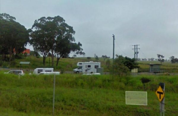
Entrance to the Somersby - Australian Reptile Park Somersby - Australian Reptile Park location map
,
Entrance to the Spring Hill Rest Area Spring Hill Rest Area location map
, , , , ,
Entrance to the Stockyard Creek Rest Area Stockyard Creek Rest Area location map
, , , ,
Entrance to the Sturt Highway Rest Area Sturt Highway Rest Area location map
,
Entrance to the Sunny Corner Recreation Reserve Sunny Corner Recreation Reserve location map
,
Entrance to the Surf Beach Holiday Park Surf Beach Holiday Park location map
, , , , , , , , , ,
Entrance to the Swan Brook Rest Area Swan Brook Rest Area location map
, , ,
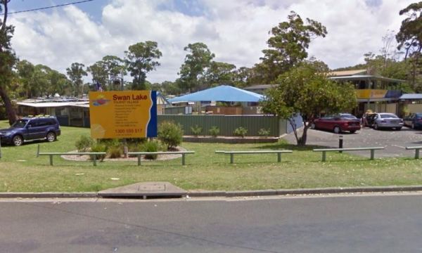
Entrance to the Swan Lake Holiday Park Swan Lake Holiday Park location map
, , , , , , , , , , , , , , ,
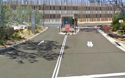
Entrance to the Sydney - Taronga Zoo Sydney - Taronga Zoo location map
, ,
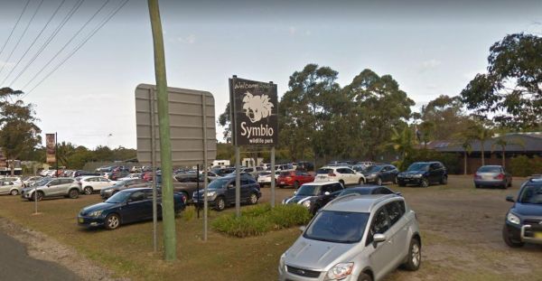
Entrance to the Symbio Wildlife Park Symbio Wildlife Park location map
,
Entrance to the Tabbimoble Rest Area (Northbound Only) Tabbimoble Rest Area (Northbound Only) location map
,
Entrance to the Talawahl Creek Rest Area Talawahl Creek Rest Area location map
, ,
Entrance to the Telleraga Rest Area Telleraga Rest Area location map
, , ,
Terramungamine Reserve 24 Hour Limit location map
, , , , , ,
Entrance to the Thackaringa Hills Rest Area Thackaringa Hills Rest Area location map
, , , ,
Entrance to the The Pines Camping Area The Pines Camping Area location map
, , ,
Entrance to the The Rest House Kosciuszko National Park Rest Area The Rest House Kosciuszko National Park Rest Area location map
Entrance to the The Rocks Rest Area The Rocks Rest Area location map
, , ,
Entrance to the Tia Falls Camping Area Tia Falls Camping Area location map
, ,
Entrance to the Tom Groggin Camping Area Tom Groggin Camping Area location map
Entrance to the Tomingley South Rest Area Tomingley South Rest Area location map
, ,
Entrance to the Tookey Creek Rest Area Tookey Creek Rest Area location map
, , ,
The Tooloom Falls Camping Area has a few drop toilets and a few picnic table, you will also find some fire pits scattered around this campsite. It's a nice place to visit during the week as its relatively quite, and tends to get a few more campers through ...
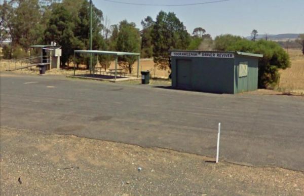
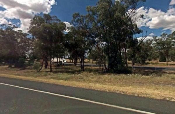
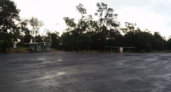
Entrance to the Tooraweenah Rest Area Tooraweenah Rest Area location map
, , , ,
Towong Reserve Camping Area Towong Reserve Camping Area location map
The Trial Bay Campground is a very popular destination.I suggest booking in advance as the best spots book out fast.There is a dump point at trial bay campground. It's around the front, past the boat ramp and below the gaol, in the 'overflow area. Entran ...
, , , , ,
Entrance to the Tuena Camping & Picnic Ground Tuena Camping & Picnic Ground location map
, , , ,
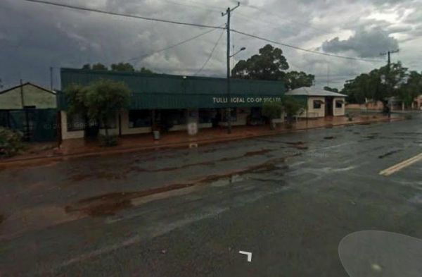
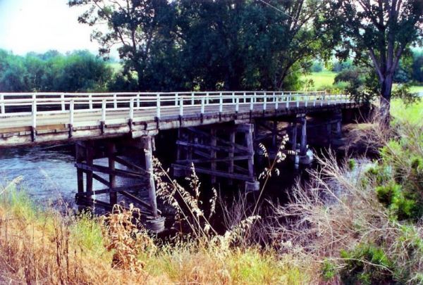
Entrance to the Tullibigeal Pioneer Park Rest Area Tullibigeal Pioneer Park Rest Area location map
, , , ,
Entrance to the Tumblong Rest Area Tumblong Rest Area location map
, ,
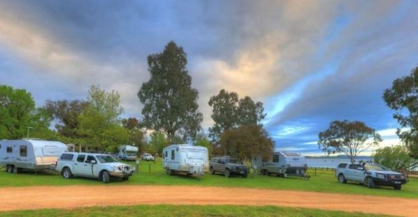
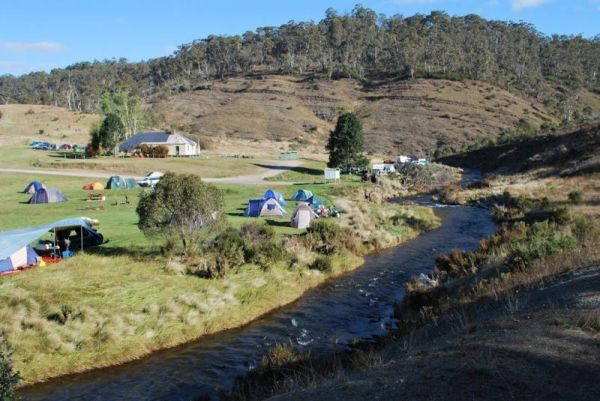
Stayed a few nights at Riverglade CP. before going over the Snowy Mountain Hwy. to Cooma.Quite a lovely park,right on the river,lots to see around the area.They have leaflet with 5 day trips to do,we will certainly come back.
, , , , , , , , , , ,
Entrance to the Tumut Park Rest Area Tumut Park Rest Area location map
, , ,
If your travelling to Tuncurry, you might want to stay at the Twin Dolphins Holiday Park. Here you will have access to Free WiFi, a camp kitchen, laundry, an onsite kiosk, heated showers, swimming pool, BBQ, a guest dump point etc. Tuncurry Chinese Res ...
, , , , , , , , , , ,
The Two Mile Creek Rest Area is located on the Mitchell Highway, Cundumbul and has a toilet block, mobile phone coverage and is pet friendly, there is not a lot to do here but take a rest from driving. Entrance to the Two Mile Creek Rest Area Two Mile ...
, ,
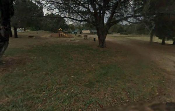
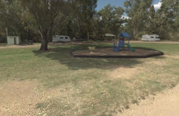
There is plenty of room at the Tyagarah Rest Area, and an area set aside for parking next to the playground. Toilet facilities are provided with wheel chair access, and mobile phone coverage is alo available. You can have your pet here, but it would be be ...
, , ,
The Vietnam Memorial Rest Area located in Muswellbrook North, has room for large caravans and motorhomes to pull into. Here you will find toilets, undercover picnic tables and a few rubbish bins. Entrance to the Vietnam Memorial Rest Area - Muswellbrook ...
, , ,
Waldrons Swamp Rest Area has separate parking areas set aside for trucks, buses, and cars, caravans. Toilet facilities and shaded picnic tables for you to stop and have a bite to eat. Make sure you have plenty of bug spray with you. It is a Swamp so mosqu ...
, , , ,
Wallabadah Rest Area is located on the banks of the Qurindi Creek with shaded areas to park your caravan. A children's playground and toilet are onsite to make it a pleasant stopover.Make sure you walk over and take a look at the First Fleet Memorial Gard ...
, , , , ,
The Wallacetown Rest Area is limited to a 24 Hour overnight stay. It has a handy toilet facility and plenty of places to park your rig no matter what size it is, plus a few undercover picnic tables. The Houlaghans Creek is just about 30 meters behind this ...
, , , , ,
Wanda Wandong Camping Area is in Goobang National Park and has a large open area for Caravans and Campervans etc. The walking track includes several informative signs that give insight into the local Aboriginal culture. Wanda Wandong Camping Area locatio ...
, ,
The Wang Wauk Rest Area has a 24 hour maximum time limit and has Toilets, BBQ's, Rubbish bins, Sheltered picnic tables and some water is available, but must be treated before drinking. Entrance to the Wang Wauk Rest Area Wang Wauk Rest Area location m ...
, , , ,
The Wardell Rest Area (Southbound) has a 20 Hour Limit on stopovers with plenty of room to park all sized tow rigs. There is an undercover picnic table right next to an information panel and handy rubbish bins. Entrance to the Wardell Rest Area (Southbou ...
, , ,
The Warri Camping Reserve has a toilet onsite, with plenty of camping spots located next to the Shoalhaven River. Fishing enthusiasts and photographers will definitely like this spot. Entrance to the Warri Camping Reserve Warri Camping Reserve locatio ...
The Weethalle Rest Area is a long stretch of gravel road with plenty of parking, a Toilet block and a BBQ nearby. You can walk across the road to the local shops and pub for a meal. Entrance to the Weethalle Rest Area Weethalle Rest Area location map ...
, ,
The West of The Range Rest Area there's not a lot to do here, apart from sit the shade for a bit, maybe have a picnic, then on your way again. Entrance to the West of The Range Rest Area West of The Range Rest Area location map
, , ,
West Pennant Hills - Koala Park Sanctuary dates from the 1920's in an effort to save the Koala from extinction because of the export fur trade. Entrance to the West Pennant Hills - Koala Park Sanctuary West Pennant Hills - Koala Park Sanctuary locatio ...
,
The Wheatley VC Rest Area has room for big rigs, and has toilet facilities and undercover picnic tables. There are also a few rubbish bins provided, plus a coffee shop. Entrance to the Wheatley VC Rest Area Wheatley VC Rest Area location map
, ,
The Wilks Park Rest Area has a 72 Hour Limit for camping with plenty of room. A toilet block and dump point, BBQ,s and an undercover picnic table all available at this rest area. Plus you can walk over to the Murrumbidgee River to catch dinner if your up ...
The Wingadee Rest Area is a short distance from the Castlereagh Highway. There is a toilet and a few rubbish bins, but not much shade to park under. Entrance to the Wingadee Rest Area Wingadee Rest Area location map
,
The Wog Wog Camping Area is set amongst gum trees with plenty of camping spots available. This is suitable for vehicle based camping only. Entrance to the Wog Wog Camping Area Wog Wog Camping Area location map
,
The Woodburn Park Rest Area has a toilet block, and plenty of picnic tables along the Richmond River, so you can catch lunch if your into fishing, or cross the road and buy a meal. Entrance to the Woodburn Park Rest Area Woodburn Park Rest Area locati ...
, , ,
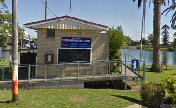
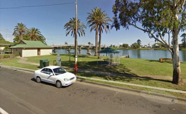
The Woodburn Park Visitor Information Centre is located on the banks of the Richmond River. There are plenty of shops across the road to keep you occupied. The littlies are also catered for her, there is a small playground and toilets nearby. Entrance to ...
, , ,
The Woolbrook Rest Area is set back from the Danglemah road, on the banks of the Macdonnald River, you can try your luck at catching a fish or two. Entrance to the Woolbrook Rest Area Woolbrook Rest Area location map
, , , ,
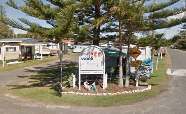
The Wooli Caravan Park is located between the Wooli Wooli River and the open Ocean {tab title="Local Places to Eat" class="grey"} Harry's Chinese Restaurant, Bowling Club Main Street Wooli Bowling & Recreation Club, Lawn Bowls Club · Main Street ...
, , , , ,
The Woolridge Fossicking Camping Area is near the Rocky River. Toilets, rubbish bins, a few picnic tables and plenty of shade make this a nice camping spot. Entrance to the Woolridge Fossicking Camping Area Woolridge Fossicking Camping Area location m ...
The Yachting Point Camping Area is located on the Blowerning Reservoir and is a bring everything camping spot, and don't forget to take your rubbish with you. Entrance to the Yachting Point Camping Area Yachting Point Camping Area location map
, ,
The Yalwal Camping Area is on the banks of the Danjera Creek dam area. There is plenty of room for all sized rigs, and fishing would be one of the activities here. Entrance to the Yalwal Camping Area Yalwal Camping Area location map
The Yamminba Rest Area is just a short distance off the Newell Highway. Here you will find a toilet, an undercover picnic table and a few rubbish bins. Entrance to the Yamminba Rest Area Yamminba Rest Area location map
,
The Yarrangobilly Village Camping Area is a Large open grassy area with direct access to the shallow creek. If you want do some fishing, you will need to walk the creek to find a few deeper holes. Entrance to the Yarrangobilly Village Camping Area Yar ...
The Yass Valley Visitor Information Centre is next to Coronation Park which has a playground, and a Toilet block and BBQ's available to the traveller. Entrance to the Yass Valley Visitor Information Centre Yass Valley Visitor Information Centre locati ...
, , ,
NOTE: This Rest Area is now PERMANENTLY CLOSED to public access.Due to idiots who camped there, and trashed the place. Yellow Pinch Dam Rest Area - PERMANENTLY CLOSED location map
The Yeoval Showground Camping Area has lots of space for campers and is an easy walk to the main business area of town. The Buckinbah Creek runs along the back of the showground, but is very shallow, so I don't think it will interest people who want to ca ...
, , , , ,
The Yerong Creek Camping Area is at the end of town on the edge of the sporting facilities. with ample room for campers to enjoy a stop over. Entrance to the Yerong Creek Camping Area Yerong Creek Camping Area location map
, , , ,
The Young Visitor Information Centre is located in the old Young Railway Station building. There is limited shade, plenty of parking and a toilet handy here. Entrance to the Young Visitor Information Centre Young Visitor Information Centre location ma ...
,