Peak Charles National Park Camping Area
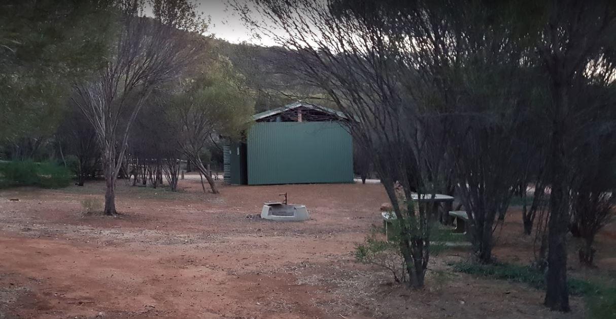
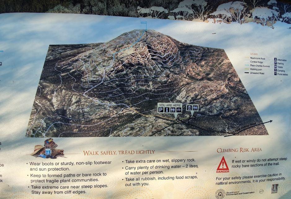
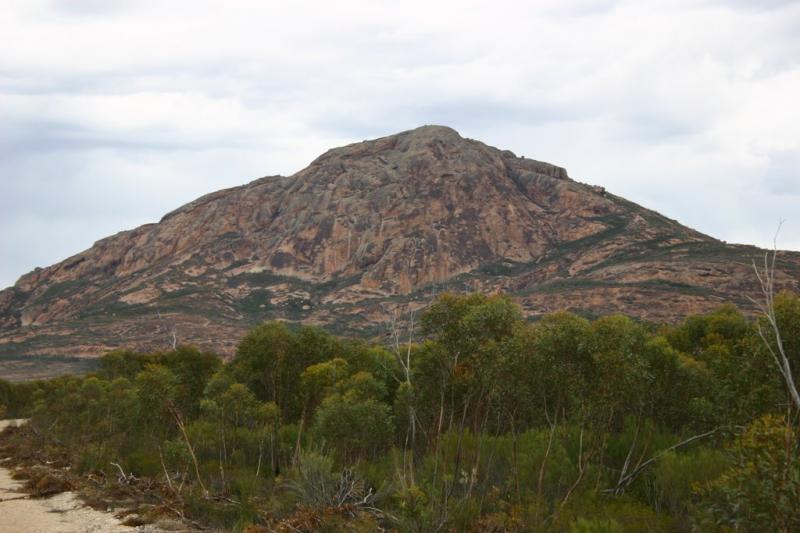
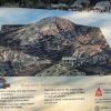
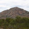
The Peak Charles National Park Camping Area access road can be very rough at times. There are dedicated fire pits, undercover picnic tables, and plenty of walking tracks. The track to the summit is not well marked, so do take care if you intend to do the climb. (the last 20 metres or so, is best suited to rock climbers)
Peak Charles National Park Camping Area location map
Address
Peak Charles Road, North Cascade, 6445, Western Australia, Australia
Sat Nav Coordinate
-32.881583, 121.171479
Campsite Fees
None that I'm Aware Of
Road Access
4 Wheel Drive Recommended
Parking Area
Gravel - and recommended for Dry Weather Only
Elevation above Sea Level
269.0 meters
Drive through site
Not Suitable for Caravans
Big Rigs
No
Power Available
No onsite power that I'm aware of
Toilets
Yes - there are either Drop or Composting Toilets here
Dump Point
No black water dump point that I'm aware of
Drinking Water
Bring your own clean drinking water
Rubbish Bins
None that I'm aware of. PLEASE Take your rubbish with you when you leave
Shade
Limited shade so be quick if you want some
Picnic Tables
Yes there are a few scattered here and there
Fixed Fire places
Yes - you will need to bring a supply of firewood
Fixed BBQ's
Yes - One or Two scattered around to choose from
Pet Friendly
No Dogs are Permitted at this location
Childrens Playground
None that I'm Aware of
Short Walks
Yes - You can stretch your legs here
Fishing
No - Nothing within easy walking distance.
TV Reception
Unknown if a TV signal is available at this location
Mobile Phone Reception
Unknown if you can get a mobile signal here
Internet Access
Unknown if you can get a mobile Internet signal here
Facilities Available
 ,
,  ,
,  ,
, 
Camping Info