Rest Areas
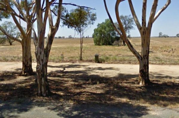
Wycheproof North Rest Area 2
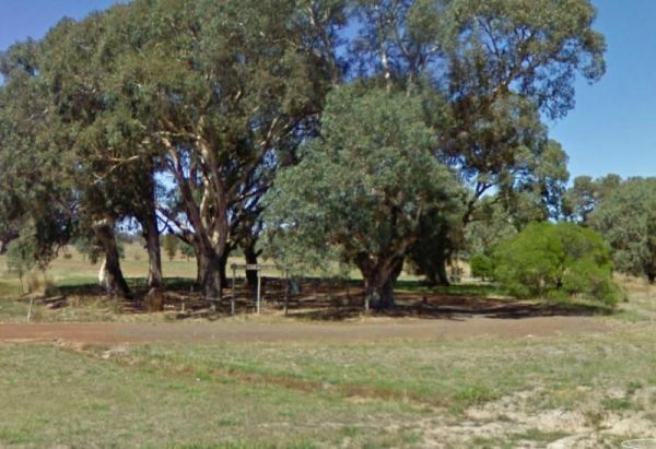
The Wycheproof North Rest Area 2 is a gravel section just off the Calder Highway has a few trees offering limited shade and a rubbish bin. Entrance to the Wycheproof North Rest Area 2 Wycheproof North Rest Area 2 location map

Wycheproof South Rest Area
The Wycheproof South Rest Area Entrance to the Wycheproof South Rest Area Wycheproof South Rest Area location map
 ,
,
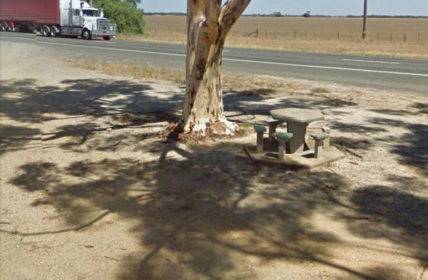
The Wyuna Rest Area is not far from McCoys Bridge which spans the Goulburn River. So if your up for a short walk you could try fishing, or grab your camera and take a few photos. Entrance to the Wyuna Rest Area Wyuna Rest Area location map
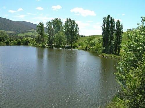
Yackandandah Lake Picnic Reserve
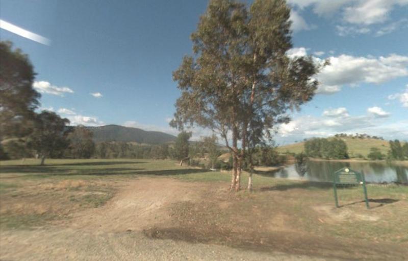
The Yackandandah Lake Picnic Reserve is on the edge of the Allans Flat Waterhole, so there is a good chance you can catch a fish for dinner here, or maybe take a plunge and go for a swim instead.This artificial lake was created by Gold miners in the 1850s ...
The Yackandandah North Rest Area Entrance to the Yackandandah North Rest Area Yackandandah North Rest Area location map
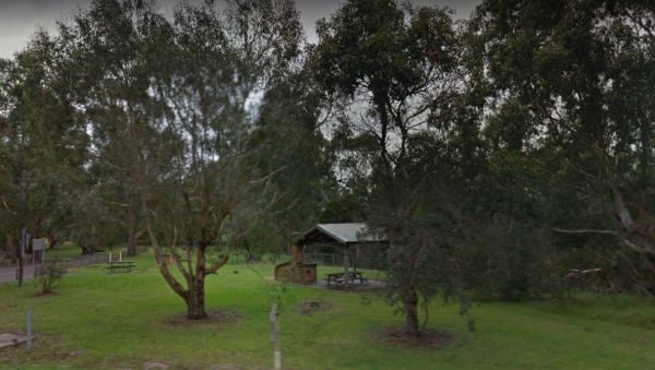
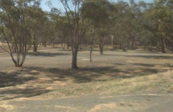
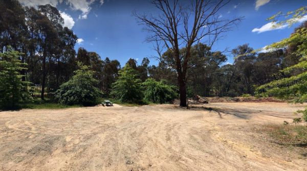
Yallock Creek Rest Area
The Yallock Creek Rest Area has room to park your van, an undercover picnic table and a few BBQ's to help take the stress out of driving. Entrance to the Yallock Creek Rest Area Yallock Creek Rest Area location map
,
The Lance Moon Park is close to the Yanakie General Store, so you can grab a few supplies, and have a BBQ before you head off to your destination. Entrance to the Lance Moon Park Lance Moon Park location map
 ,
,  , ,
, , 
Yuppeckiar Park Rest Area
The Yuppeckiar Park Rest Area is a short distance from the Glenelg Highway, Be careful if you decide to park on the grass area, as there is a ditch sometimes hidden and you will get bogged there if towing a caravan. Entrance to the Yuppeckiar Park Rest A ...
,  , ,
, ,