List Categories and Listings by T
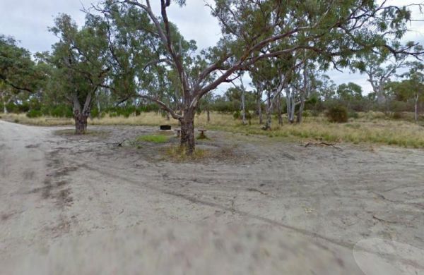
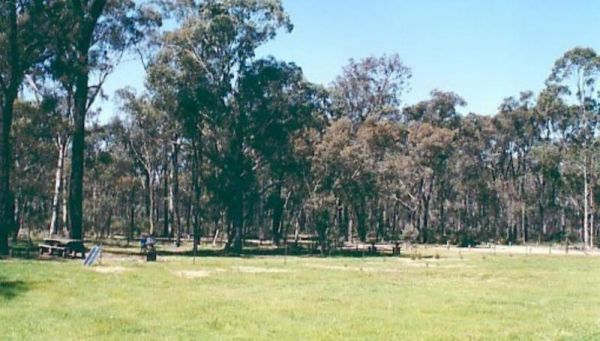
The Wattles Camping Area has a few suitable camp sites available, but it's better suited for campervans than caravans. Entrance to the Wattles Camping Area The Wattles Camping Area location map
 ,
,  ,
, 
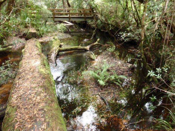
The Thurra River Rest Area has water on tap, but please treat it first before drinking, there are also picnic tables and a few BBQ's, there is also has a nice walk along the Drummer Creek, remember to take your camera with you. Entrance to the Thurra Riv ...
 , ,
, ,
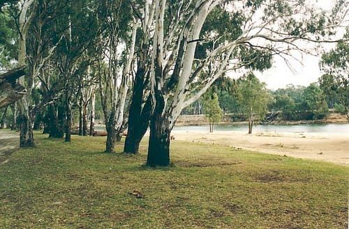
The Tocumwal Regional Park Apex Beach Camping Area Tocumwal Regional Park Apex Beach Camping Area location map

The Tolmie Rest Area has a toilet and a picnic table and overnight Camping is permitted here, there is a pub approx 100 metres from this rest spot. Entrance to Tolmie Rest Area Tolmie Rest Area location map
, , , , 
Entrance to the Tongala Caravan Park Tongala Caravan Park location map
,  ,
,  ,
,  ,
, 
The Tongala Turnoff Rest Area is not far from Henderson Road, here you will find a wood fired BBQ, a picnic table and a rubbish bin, all set a short distance from the Murray Valley Highway. Entrance to the Tongala Turnoff Rest Area Tongala Turnoff Res ...
,  ,
,
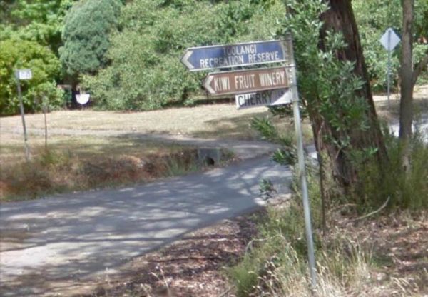
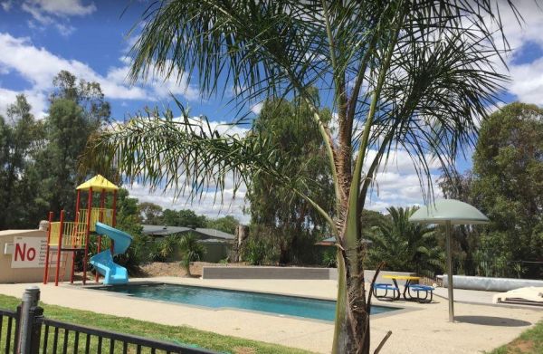
The Toolangi Streamside Reserve is fairly close to the Yea River, and there is a 24 hour stopover limit. There are toilets and rubbish bins here to make your visit pleasant. Toolangi Streamside Reserve location map
, ,
The Tooleybuc Park has a large gravel area to park your van or motorhome, and its close to the Tooleybuc bridge over the Murray River, and conveniently located across the road from a pub, so you can grab a meal while stopping here. Entrance to the Tooley ...
, ,  , ,
, ,
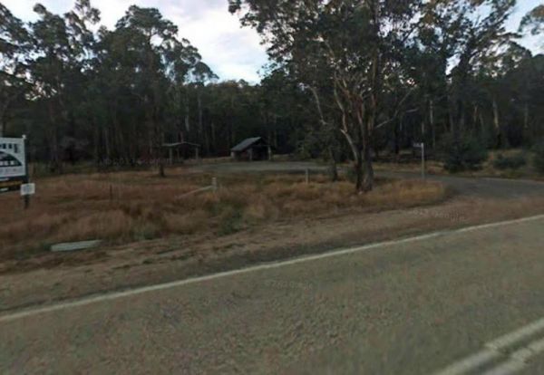
Entrance to the Toora Tourist Park Toora Tourist Park location map
,  , ,
, ,  ,
,  ,
,  , ,
, ,  ,
,  ,
,  ,
,  , , , ,
  ,
, 
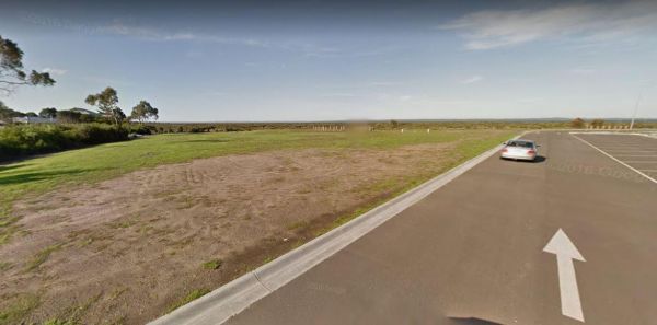
The Tooradin Foreshore Reserve is now a very active boat launching spot, the victorian government has removed boat launching fees for this location, and as such, parking is at a premium Entrance to the Tooradin foreshore camping Tooradin foreshore cam ...
, , , , ,
The Toorongo Falls Campground 1 has toilets, fireplaces, and plenty of room to choose a campsite alongside the Toorongo River. Firewood can be obtained from the Noojee General Store Toorongo Falls Campground 1 location map
, , ,
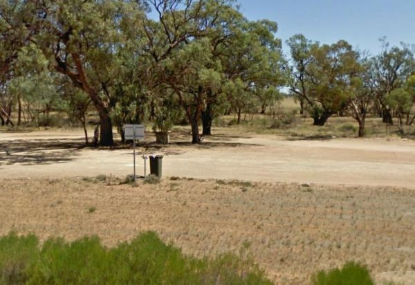
The Torneys Tank Bushland Reserve Rest Area is set back on gravel road just off the Calder Highway, with picnic tables and rubbish bins. Take a break from driving and grab a bite to eat. There is plenty of room for even the largest of rigs. Entrance to t ...
, , ,

Entrance to the Torquay Foreshore Caravan Park Torquay Foreshore Caravan Park location map
, , , ,  , , , , , ,
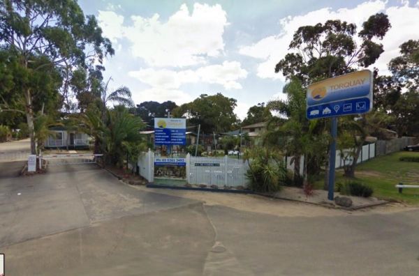
Entrance to the Torquay Holiday Park Torquay Holiday Park location map
, , , , , ,  , ,
, ,  , , , , , , ,
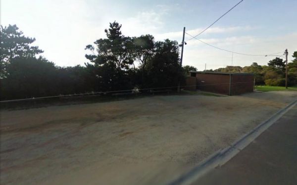
The Torquay Taylor Park Rest Area is a nice location next to the Ocean, Entrance to the Torquay Taylor Park Rest Area Torquay Taylor Park Rest Area location map
, , , ,
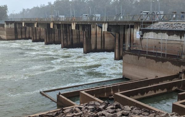
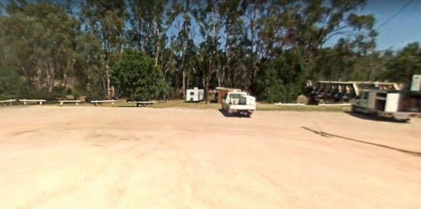
The Torrumbarry Weir Camping Area is a rough bush camp with plenty of spots to choose from close the Murray River. Be sure to pop over to the Weir gates and take your camera with you for a good photographic opportunity. Entrance to the Torrumbarry Weir C ...
The Traralgon Rest Area (West) Entrance to the Traralgon Rest Area (West) Traralgon Rest Area (West) location map
,
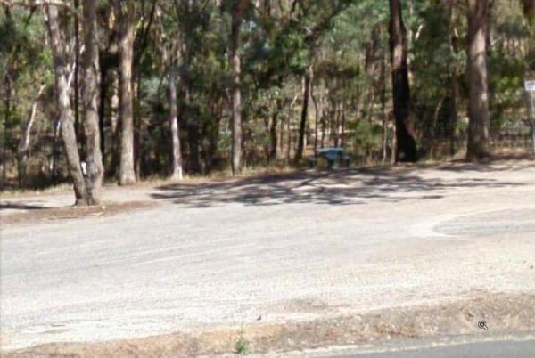
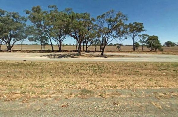
The Trawalla State Forest Rest Area is on the verge of the Western Highway. There is plenty of room to park your caravan or motorhome. Also a couple of rubbish bins and picnic table, pus a fer walking tracks into the State Forest. Entrance to the Trawall ...
,
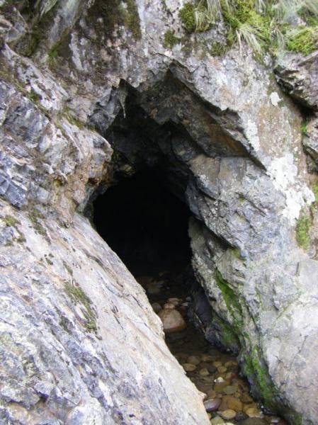
Tunnel Bend Camping Area
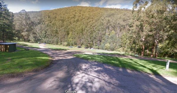
The Tunnel Bend Camping Area is located on the Howqua River. Checkout the surrounding hills for signs of the early gold mining activities such as the tunnel in the photos which diverted water so the Old timers could mine for gold. Tunnel Bend Camping Are ...
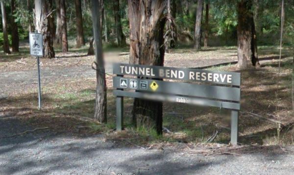
The Tunnel Bend Reserve Camping Area has toilets and plenty of choices to camp. There are also fire pits at this campsite which is located on the banks of the Upper Goulburn River. Entrance to the Tunnel Bend Reserve Camping Area Tunnel Bend Reserve C ...