Free Camping
Victoria Free Camping and Campgrounds
Free camping is a very cost effective way to explore the Victoria countryside, with many free camp locations to choose your perfect camp from. Ranging from the very basic rough bare bones camping, right through to toilets and hot showers, drinking water, BBQ's etc.
If you have a favourite spot that is not already listed in our Victoria Pet Friendly Database. Please Add it, so others can visit there also.
Or Contact Admin with the Details, and they will add it for you.
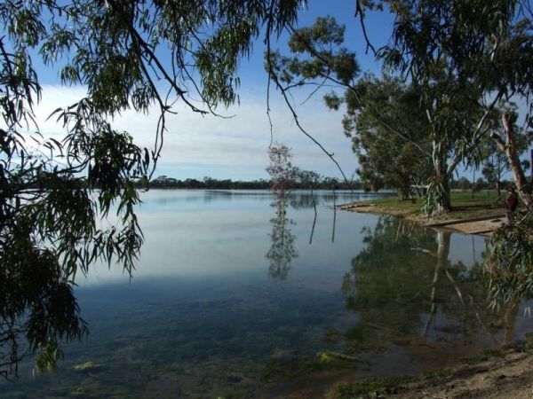
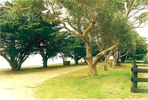
Lake Lascelles Rest Area has plenty of camping spots along the Lake Lascelles shoreline. Lake Lascelles Rest Area location map
 ,
,  ,
,  ,
, 
Lake Lonsdale Camping Area
The Lake Lonsdale Camping Area has toilets, and plenty of room to camp. Please Note: There are also NO CAMPING areas throughout the Nature Reserve, so please obey the signs, so others can enjoy camping here in the future. Lake Lonsdale Camping Area locat ...
 , , ,
, , ,
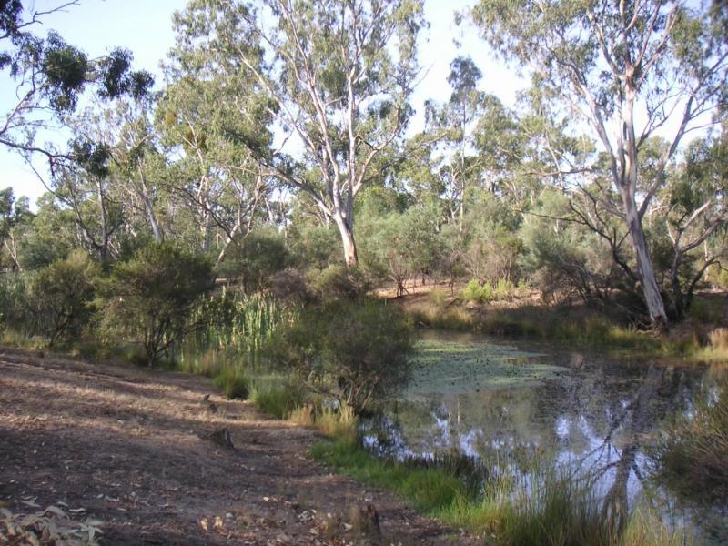
Lake Meran Camping Area
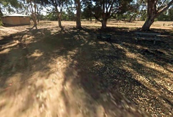
The Lake Meran Camping Area has toilets and is set amongst gum trees. There is a donation box onsite, and this campsite is next to Lake Meran. Entrance to the Lake Meran Camping Area Lake Meran Camping Area location map
, , ,
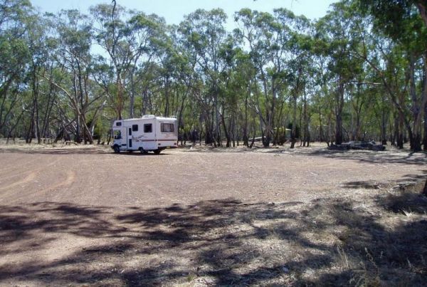
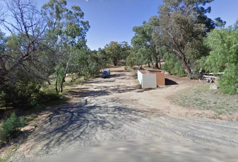
The Lake Ratzcastle Camping Area has flushing toilets, tank water and hot showers. There are plenty of camping spots available for large rigs or caravans near the lake. Sit back and relax, maybe try your luck at catching a Yabbie or two for dinner. Entra ...
,  , , , ,
The Lalgambook Picnic Area has plenty of space for all types of vans, and is reasonably close to Melbourne and Bendigo. There are some pleasant day hikes at Mt Alexander. This campsite has flushing toilets, picnic areas and plenty of firewood. Entrance t ...
, , , 
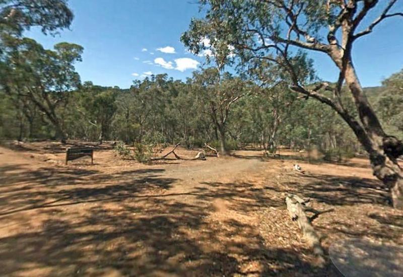
The Langford West Camping Area has a pit toilet, access to water in an aqueduct nearby that you can treat before using and a few picnic tables. This camping spot is best for tent camping and small campervans. Langford West Camping Area location map
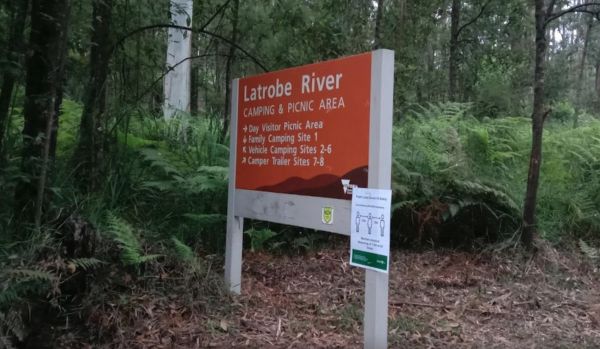
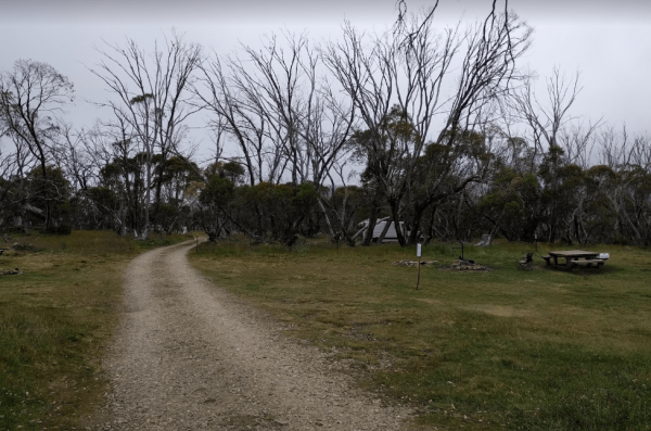
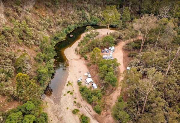
Latrobe River Camping Area
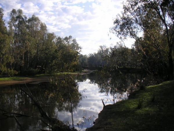
The Latrobe River Camping Area is a quiet campsite surrounded by beautiful bushland, drop toilets and pit fires are provided. The camping ground is fairly close to where the La Trobe River and Ada River join. Latrobe River Camping Area location map

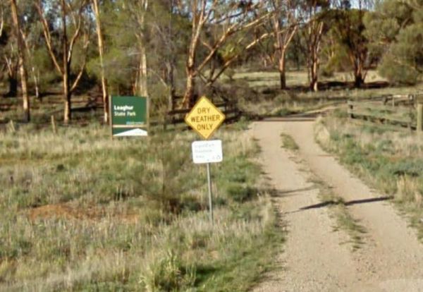
Leaghur State Park Camping Area
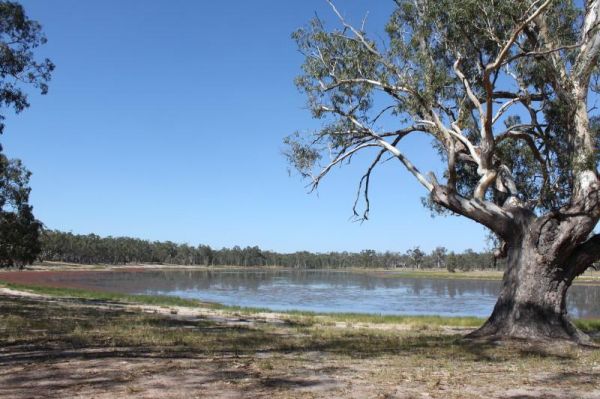
The Leaghur State Park Camping Area is subject to flooding in Winter, so you have been warned. Camping is allowed in both of the picnic areas. Entrance to the Leaghur State Park Camping Area Leaghur State Park Camping Area location map
Lightning Creek Camping Area
The Lightning Creek Camping Area has drop toilets, bbqs, picnic tables, large grassy areas with shaded areas to camp under, with the Snowy Creek not too far away. Entrance to the Lightning Creek Camping Area Lightning Creek Camping Area location map

Little Bruces Track Camping Area
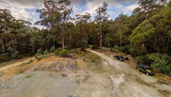
Little Bruces Track Camping Area has 3 general camping sites, Forges 1, Forges 2, and Little Bruce. Can be hard to find the right Dirt road running off the Murray Valley Highway (Turn off GPS -35.998578, 145.936646), but well signed after that. Little Br ...
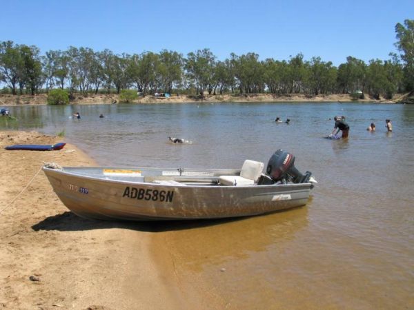
THIS CAMPSITE is now PERMANENTLY CLOSED due to inconsiderate campers damaging the property. The Lumbys Bend Camping Area With the Murray River meandering by, water activities including fishing,swimming, kayaking etc. come to mind and photography all av ...
Major Creek Reserve Camping Area
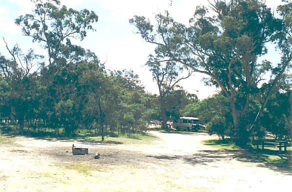
The Major Creek Reserve Camping Area has quite a few camping spots but only a couple of campsites close to the drop toilets. This camping ground tends to get a bit dusty during the summer months, and you might get a few motorbikes on the weekends. Major ...
The Maldon Historic Reserve Butts Camping Area has proper flushing toilets and fire pits with swing over hotplates. There is plenty of room for tents and caravans, but take your levelling blocks with you just in case all the flat ground is taken.Note This ...
, , ,
The Marlay Point Free Camping is located approx 18kms from Sale on Clydebank Road, turn off at signs to Marlay Point. Nice grassy area (just near yacht club). Entrance to the Marlay Point Free Camping Marlay Point Free Camping location map
, , , ,
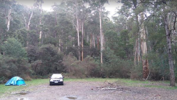
The Married Mens Camping Areais best suited to 4x4's and vehicle based camping. There are a reasonable amount of tent spaces available, and the Arnold Creek is nearby for running water.. Married Mens Camping Area location map
The McClelland Camping Area is with best accessed with 4x4's and vehicle based tent camping, you will need to bring everything you need and take your rubbish with you, water is available from the Big River, but make sure you treat it first before drinking ...
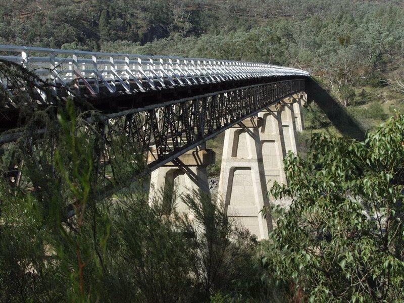
McKillops Bridge Camping Area
The McKillops Bridge Camping Area has a toilet and limited facilities, and is within easy walking distance to the Snowy River. Entrance to the McKillops Bridge Camping Area McKillops Bridge Camping Area location map
McKinnon Point Camping Area
The Mckinnon Point Camping Area has easy access to river during the summer months parts of river will dry up but the remaining parts are lovely to swim in. The Freestone Creek runs alongside this spot, there are some lengthy walks of up to 60 kilometers a ...
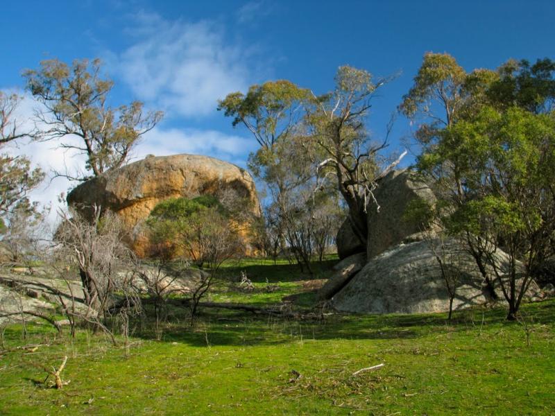
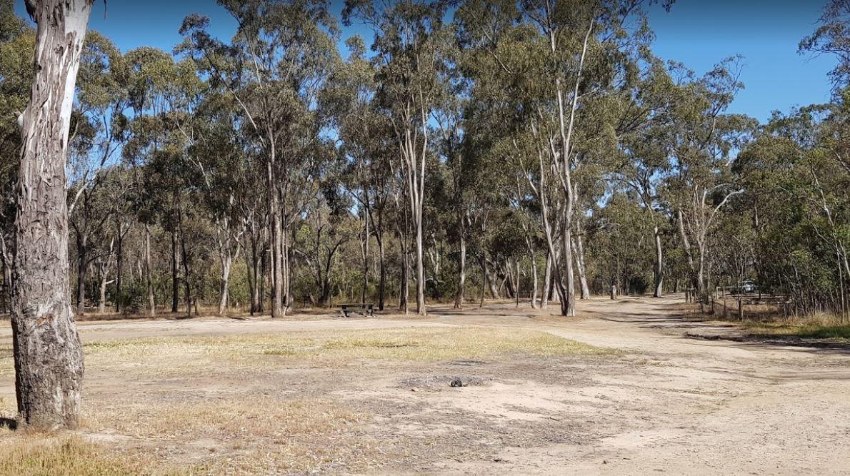
The Melville Caves Camping Area, is a wonderful large gravel campsite, with it's natural surroundings and new toilet block. There are walking tracks to the Captain Melville caves from the campsite, or you can drive up and you will only need to walk approx ...
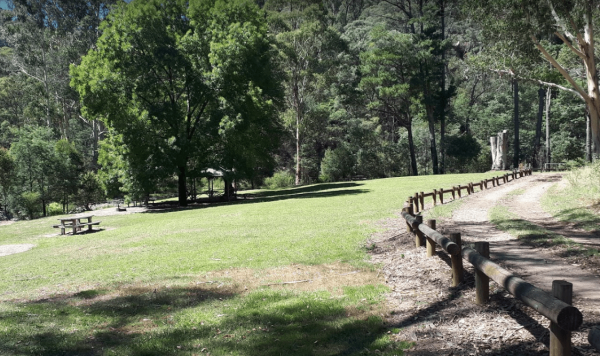
The Middle Creek Camping Area is fairly close to the Omeo Highway. From here you can take a stroll along the Cave Walking Track, but be warned, it's rather steep. Entrance to the Middle Creek Camping Area Middle Creek Camping Area location map
, , , 