List Categories and Listings by W
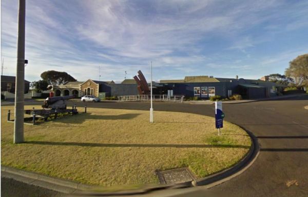
Entrance to the Warrnambool Visitor Information Centre Warrnambool Visitor Information Centre location map

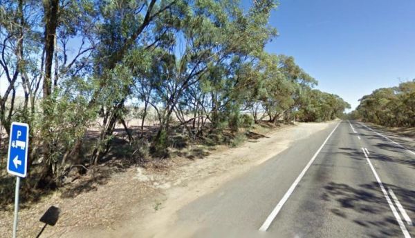
The Warrow North Rest Area is on a large gravel surface on the corner Ulina Lane and Flinders Highway. There is an undercover picnic table, and a few rubbish bins, and room to park your caravan. Entrance to the Warrow North Rest Area Warrow North Rest ...


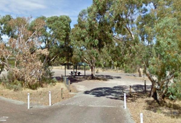
The Wartook Forest Camping Area Entrance to the Wartook Forest Camping Area Wartook Forest Camping Area location map
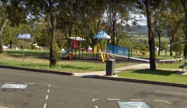
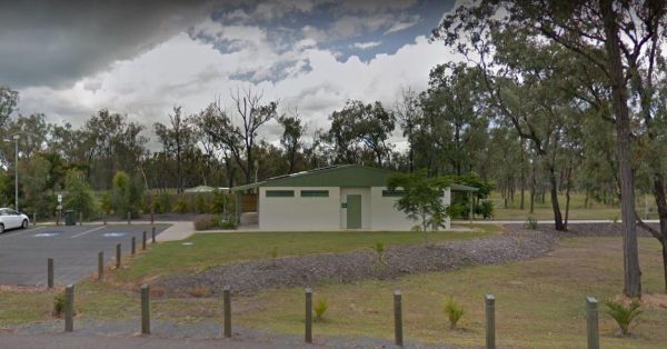
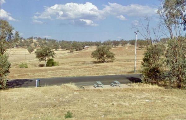
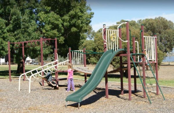
The Warwick Victoria Park Rest Area has wood fired BBQ's, picnic tables, rubbish bins and public toilets. There is also a children's playground, and lots of room for the kids to have a run around. Entrance to the Warwick Victoria Park Rest Area Warwic ...
 ,
,  , , ,
, , , 
The Waterfalls Picnic and Campground has plenty of camping spots. Lots of picnic tables and fireplaces, and a drop toilet. Also you have quite a few hiking tracks to choose from, including an 18 km Pyrenees Endurance Walk. Entrance to the Waterfalls Picn ...
,  ,
,  ,
,
The Waterhouse Point Camping Area 30 Hour Limit Waterhouse Point Camping Area location map
,  ,
,
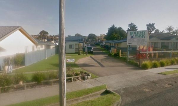
Entrance to the Waters Edge Holiday Park BIG4 Waters Edge Holiday Park BIG4 location map
, ,  , ,
, ,  ,
,  ,
,  ,
,  ,
,  ,
,  ,
,  ,
, 
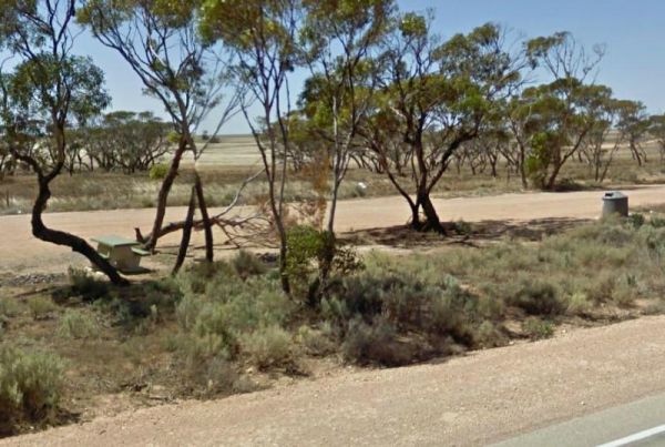
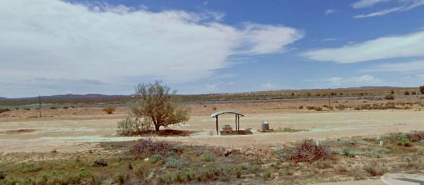
The Watraba Rest Area is just off the Eyre Highway, it's a larger gravel area that is reasonable level. There is plenty of room to park your caravan, but very little shade, some rubbish bins and picnic tables. You can also sit and watch the traffic go by, ...
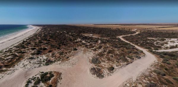
The Wauraltee Beach Camping Area has a few sheltered campsites amongst the sand dunes. Make sure you obtain a permit first, if you want to stay here. Entrance to the Wauraltee Beach Camping Area Wauraltee Beach Camping Area location map
, ,
The Waverley Creek Rest Area is well lit at night, there are public toilets, picnic tables and BBQ's, non potable water and plenty of room to park all sized rigs. Expect a bit of road noise if you stay overnight, and there is a driver reviver scheme here ...
, , , ,  ,
,
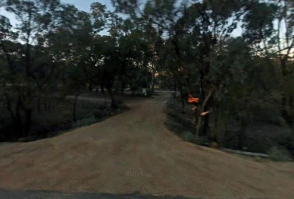
The Wawirra Creek Rest Area is nestled between the Railway and the Barrier Highway, there is an undercover picnic table and rubbish bin to greet you here, and quite a large area to pull into, and take a rest from driving. Entrance to the Wawirra Creek Re ...
Entrance to the Wedderburn Pioneer Caravan Park Wedderburn Pioneer Caravan Park location map
, , , ,  , , ,
, , ,
The Wedderburn West Rest Area is not the safest of places if you have young children or pets with you. Its located on the narrow verge of the road. Entrance to the Wedderburn West Rest Area Wedderburn West Rest Area location map
,
The Weethalle Rest Area is a long stretch of gravel road with plenty of parking, a Toilet block and a BBQ nearby. You can walk across the road to the local shops and pub for a meal. Entrance to the Weethalle Rest Area Weethalle Rest Area location map ...
, ,
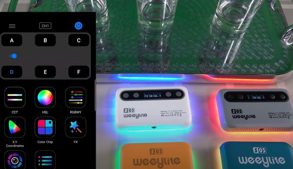
The Weeylite S05 RGB LED light is a great option for budget-minded vloggers and photographers who are looking for a portable and versatile light source. It weighs just 108 grams and comes with a built-in soft light diffuser, making it easy to carry and us ...
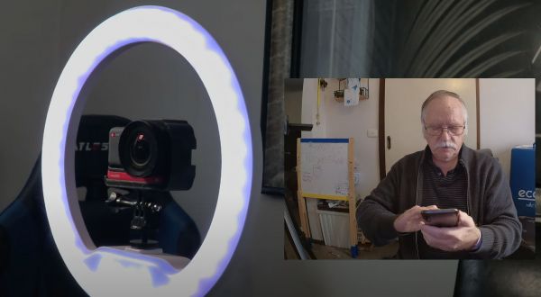
The WeeyLite WE-9 RGB Ring Light is an inexpensive and versatile lighting solution for YouTube videos and photography. It features 22 pre-programmed scenes, each with three speeds, as well as 7 preset colors and almost infinite adjustments for brightness ...
The Wellington South Rest Area is set back a short distance away from the Mitchell Highway with plenty of room for even the largest caravans and motorhomes. Entrance to the Wellington South Rest Area Wellington South Rest Area location map
,
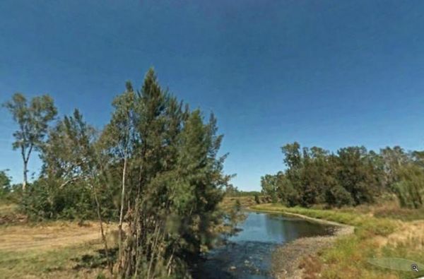
The Wells Crossing Rest Area is on the banks of the Seven River, with plenty of room for all. With lots of room, plus fishing, makes this a nice place to visit. Wells Crossing Rest Area location map
 , ,
, ,
Welshmans Reef Caravan Park location map
,  ,
,  , , , , ,