List Categories and Listings by S
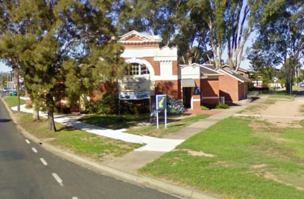
The Seymour Regional Visitor Information Centre is located in the Old Court House historic building. There is als a small art gallery to look at when you visit here. Entrance to the Seymour Regional Visitor Information Centre Seymour Regional Visitor ...
 ,
,  ,
, 
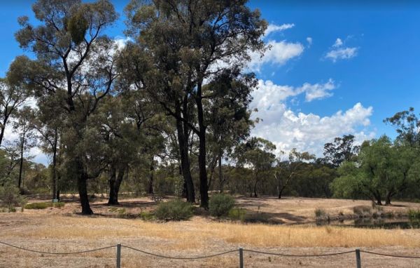
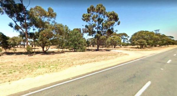
The Shadbolts Picnic Area is between Eaglehawk-Neilborough Road and Skylark Road and close to the Raywood Channel. There is not a lot to do here, however there are a few areas, to walk to and explore for the more adventurous out there. Entrance to Shadbo ...
,
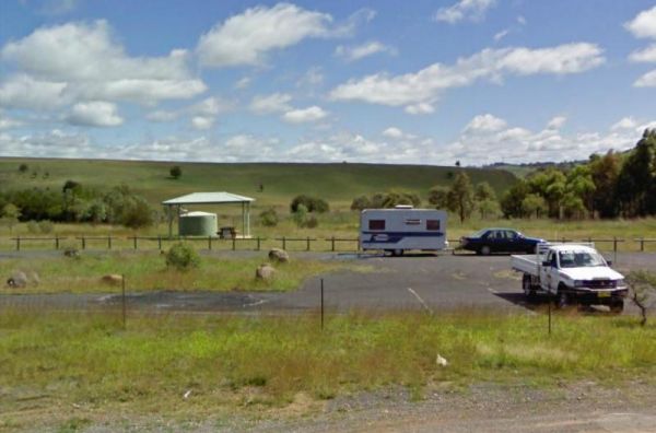
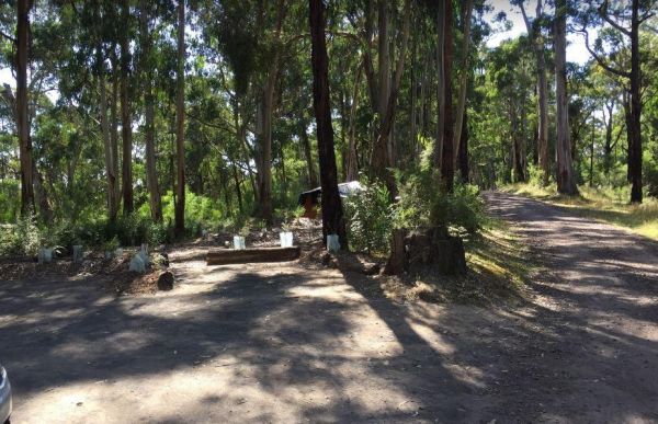
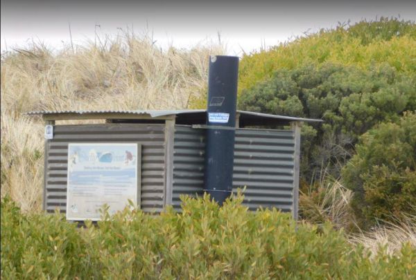
Entrance to the Shadforth Reserve Rest Area Shadforth Reserve Rest Area location map
, ,  ,
, 
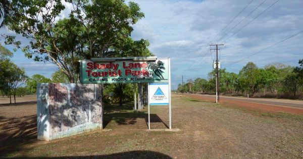
Entrance to the Shady Lane Tourist Park Shady Lane Tourist Park location map
, ,  ,
,  ,
,  ,
,  ,
, 
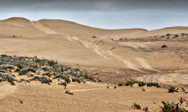
The Sharps Track Camping Area has 6 official campsites that are best suited to tents. There are no toilets, and No Dogs allowed. I have had reports that this place is rather trashy, with toilet paper being strewn close to campsites. Sharps Track Camping ...
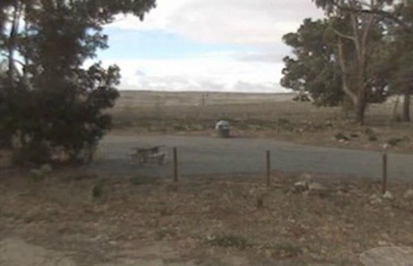
The Sheepwash Lagoon Rest Area has a few picnic tables and rubbish bins, set next o the lagoon which might have a few yabbies or eels in it, who knows, maybe try your luck, and let us know about your results, Entrance to the Sheepwash Lagoon Rest Area ...
,
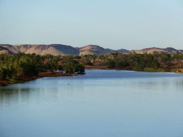
The Sheepyard Flat Camping Area is a large area with many campsites to choose from. During the summer months an ice truck loaded with all sorts of goodies frequents the campground. Plenty of grassy areas to choose from on the banks of the Howqua River, bu ...
The Sheffield Football and Cricket Club, the camping area is set down the back of the oval in a small car park. There is room for approximately 8 caravans in the designated spot. Entrance to the Sheffield Football and Cricket Club Sheffield Football a ...
,
The Shelly Point Camping Area is best suited for medium to small caravans and camper trailers.Note: You are not permitted to camp in the day area and are restricted to the side designated areas on the main road. Entrance to the Shelly Point Camping Area ...
,
The Sheringa Beach Camping Area has a series of parking bays, each within easy walking access to beach for fishing and surfing. There is a public toilet onsite. Sheringa Beach Free Camping Area location map
,
The Sheringa Rest Area is big enough for all sized caravans and motorhomes. This rest spot is on the edge of the Flinders Highway with a few small trees for shade, a picnic table and rubbish bin. Entrance to the Sheringa Rest Area Sheringa Rest Area l ...
The Sherlock River Rest Area has a 24 Hour Limit imposed on it. This rest area has an undercover picnic table and a fireplace, there is limited shade, and it's on the banks of the Shitloch River. Entrance to the Sherlock River Rest Area Sherlock River ...
 ,
,  , ,
, ,
The Sherwoods Dam Rest Area has a warning sign near the water. Algae blooming is common in this area, which will make the water toxic to drink. Entrance to the Sherwoods Dam Rest Area Sherwoods Dam Rest Area location map
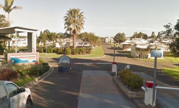
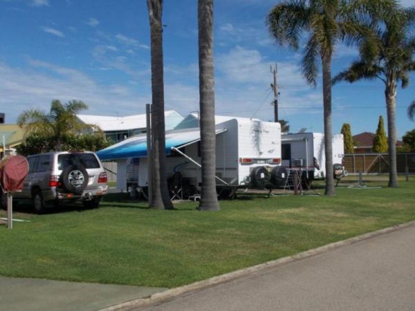
Entrance to the Shoalhaven Heads Holiday Park Shoalhaven Heads Holiday Park location map
, ,  ,
,  ,
,  ,
,  , ,
, ,  , , ,
, , ,  , ,
, ,  ,
, 
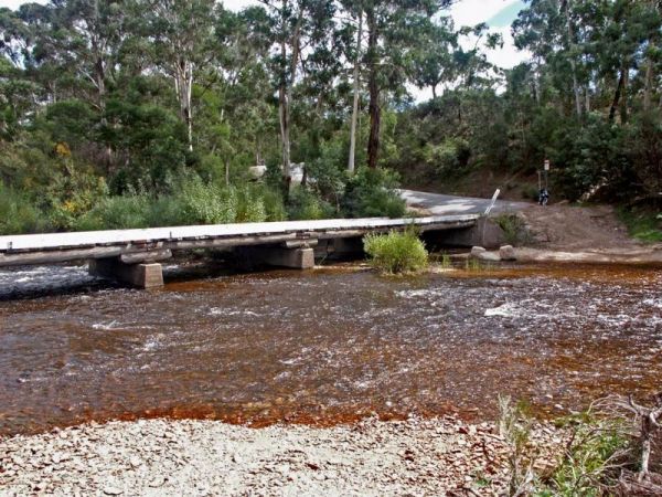
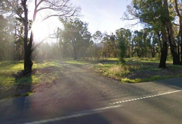
No Camping is permitted at the Shoalhaven River Crossing, but it's a great place to prospect for some gold, stretch your legs and maybe catch a fish for dinner. Entrance to the Shoalhaven River Crossing Shoalhaven River Crossing location map
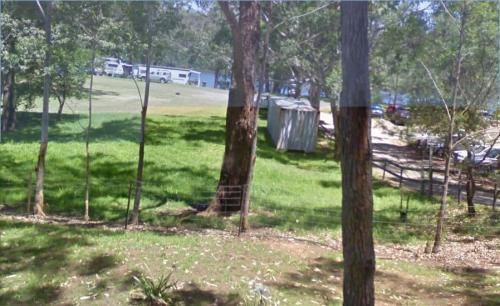
Entrance to the Shoalhaven Zoo - Campsite Shoalhaven Zoo - Campsite location map
,  , , , , ,
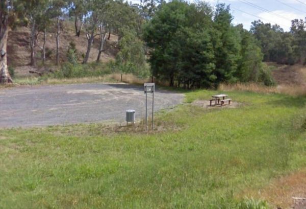
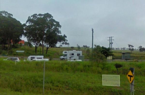
The Silver Gum Reserve Rest Area is set back from the Maroondah Highway and is a place to take a break from driving. Entrance to the Silver Gum Reserve Rest Area https://goo.gl/maps/UKdLSLkMD1YM5Yae8 Silver Gum Reserve Rest Area location map
Entrance to the Silver Sands Tourist Park Silver Sands Tourist Park location map
, , , , , , , ,  ,
,
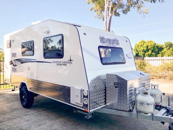
Have you had a problem with your Silversun Caravan? Or, are you entirely happy with your purchase? Please Submit your Honest Review to this listing So others are better informed, when they are looking to buy one of these caravans.
Entrance to the Singleton East Rest AreaWill be Permanently Closed on the 20th February 2020 Singleton East Rest Area location map
, , , ,