List Categories and Listings by S
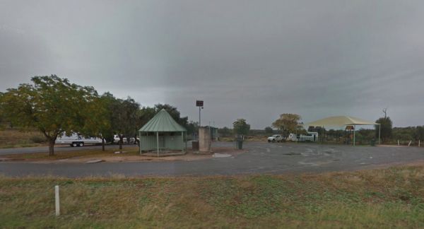
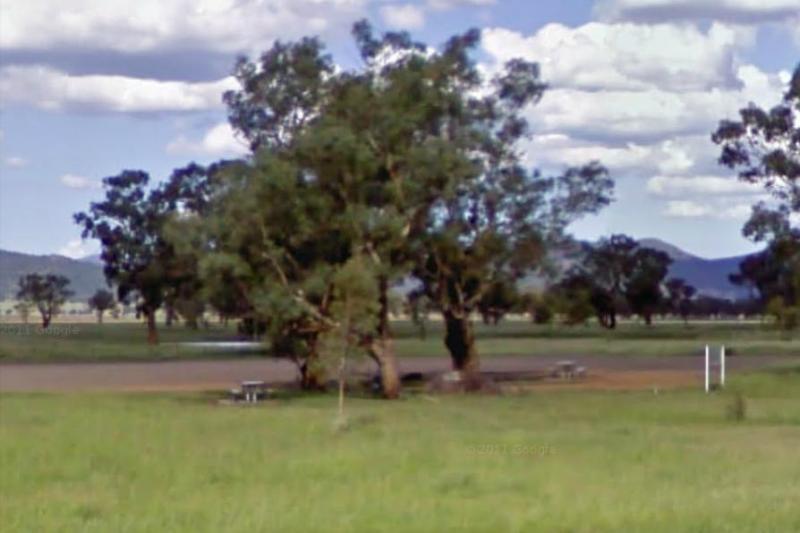
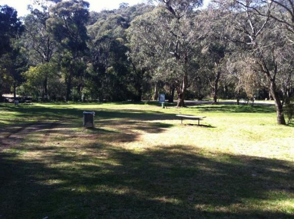
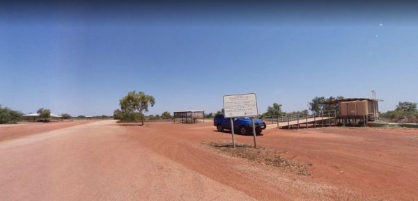
Spring Hill Rest Area
Entrance to the Spring Hill Rest Area Spring Hill Rest Area location map
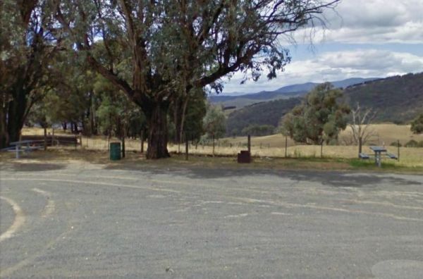
Entrance to the Springfield Rest Area Springfield Rest Area location map
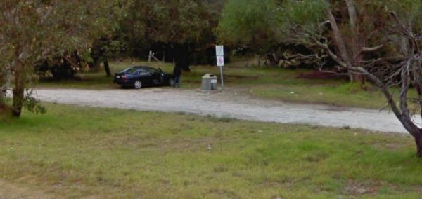
The Springs Road Rest Area is on the edge of the Southern Ports Highway. This rest spot has a picnic table, rubbish bin, and a bit of shade, plus its a reasonably level area to pop the van on. Lake Eliza is approx 900 metres, and there is a walking track ...
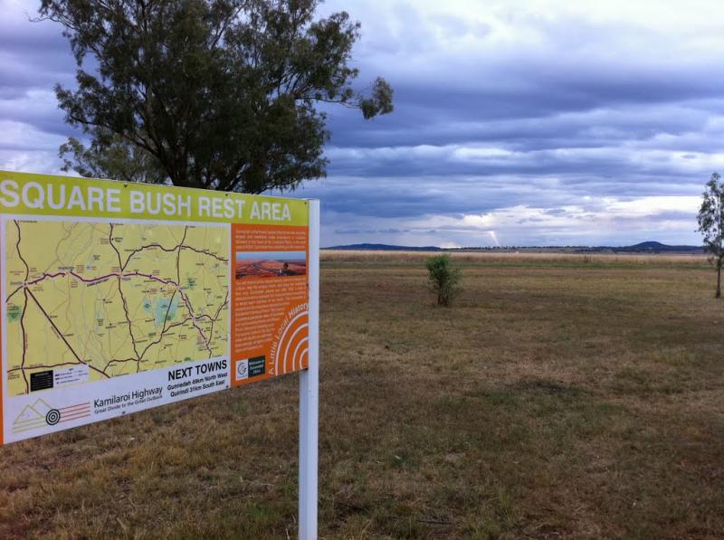
Entrance to the Square Bush Rest Area Square Bush Rest Area location map
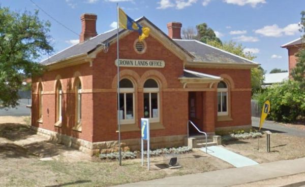
The St Arnaud Visitor Information Centre is located Directly Opposite the Queen Mary Gardens. It's a nice place to have a stroll around. Entrance to the St Arnaud Visitor Information Centre St. Arnaud Tourism location map
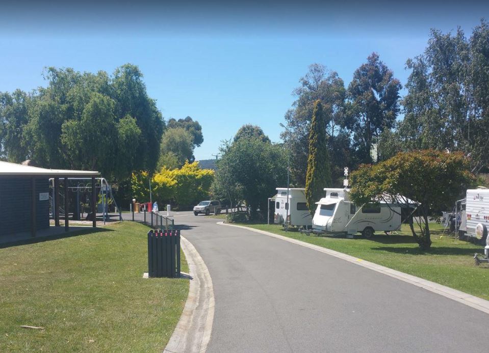
The St Helens Holiday Park Big4 has a well equipped camp kitchen and the outdoor camp kitchen with wood fired pizza oven. Note to campers: At night they play the radio in the toilets, so maybe keep a bit of distance when your choosing your campsite. Entr ...
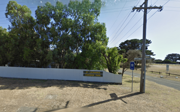
St Leonards Caravan Park
Entrance to the St Leonards Caravan Park St Leonards Caravan Park location map
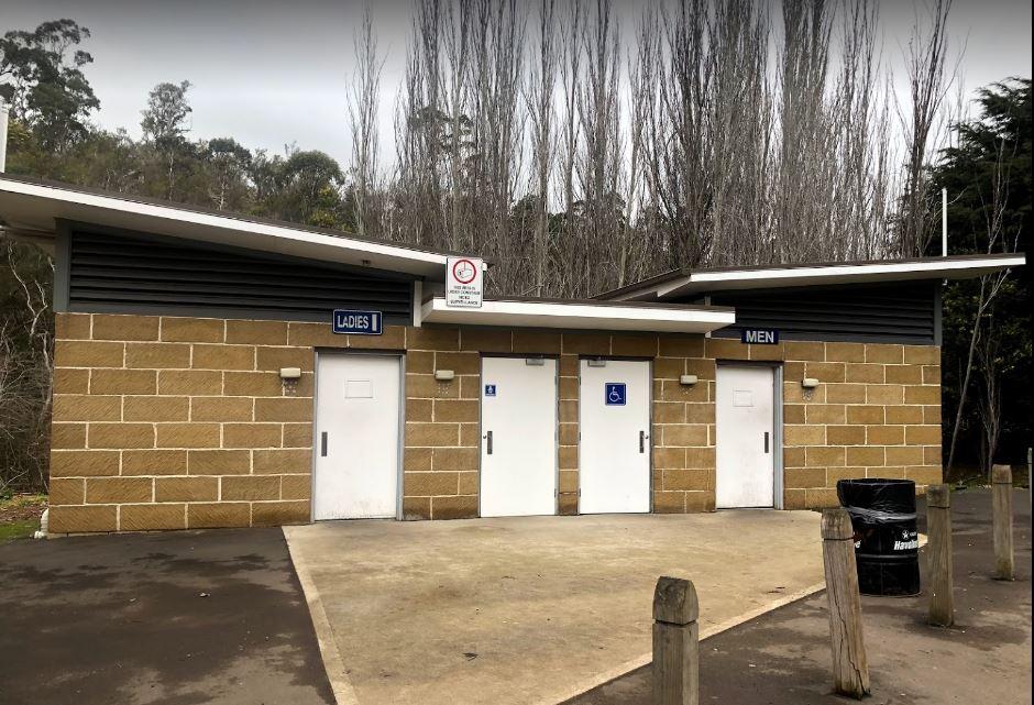
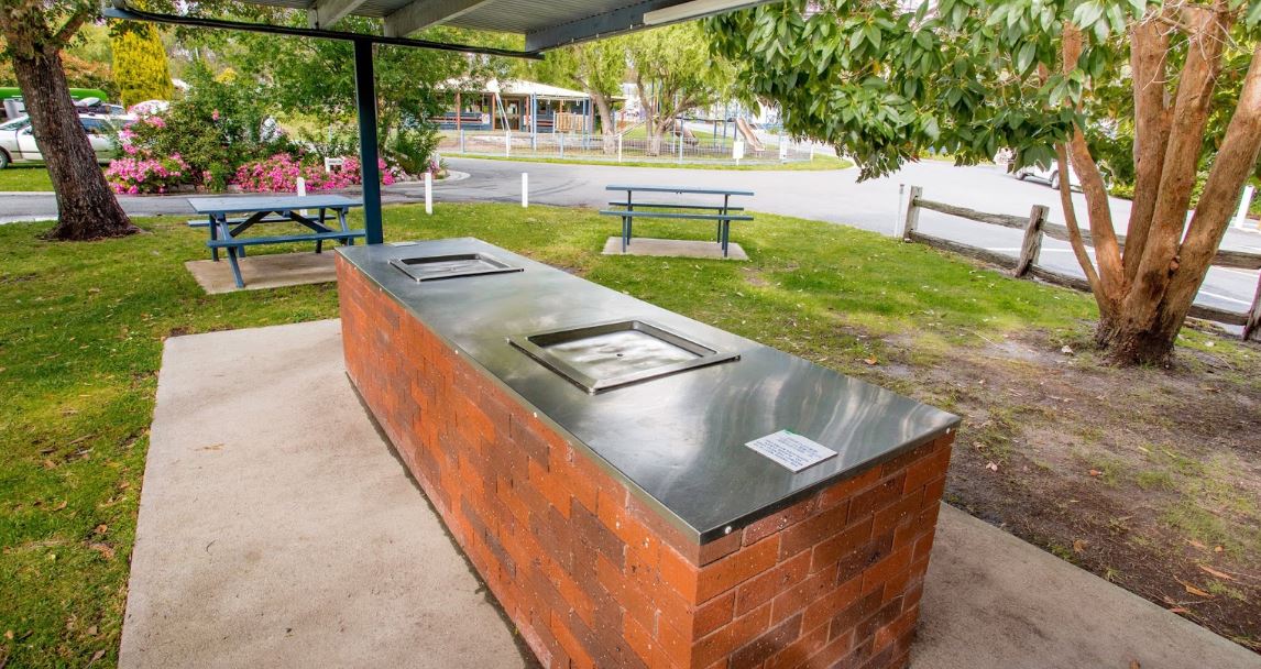
The St Peters Pass Rest Area is almost halfway between Launceston and Hobart. There is a public toilet and covered picnic and BBQ areas, plus a short walking track up hill so you can stretch your legs. Entrance to the St Peters Pass Rest Area St Peter ...
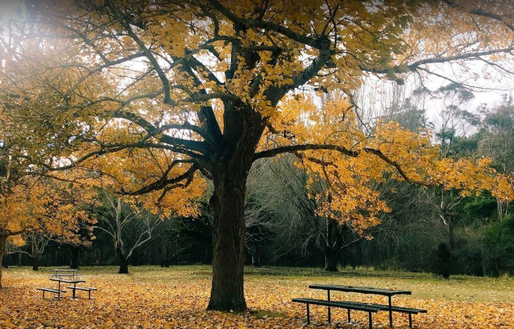
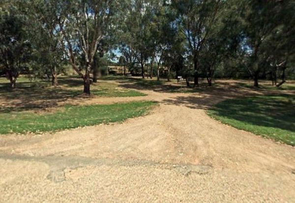
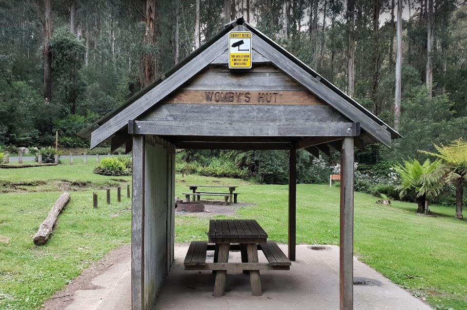
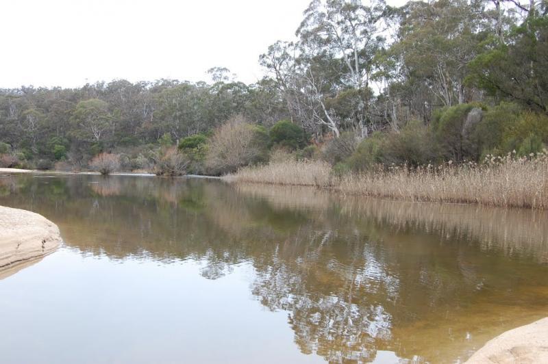
Stacey Bridge Camping Area
The Stacey Bridge Camping Area Take advantage of a nice camping area and take your camera for a walk, and capture a few memories to take away with you. Stacey Bridge Camping Area location map
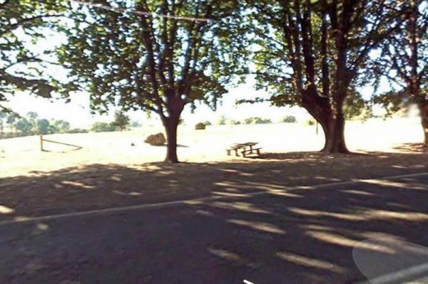
Staghorn Flat Rest Area
The Staghorn Flat Rest Area is on the verge of the main road. if you stop here be sure to checkout the stone monument while your there. I'm curious as to what it is dedicated to. If anyone knows please pop a message to admin. Entrance to the Staghorn Fla ...
The Stan Allen Reserve Rest Area has a 20 hour stop over limit has some nice shady spots to choose from along the bank of the King River. Public Toilets are on the Oxley side of the bridge, and that is only a short walk from the rest area. Entrance to th ...
The Stanhope East Rest Area is located on the corner of Midland Highway and Savige Road, it's just a place to pull over and recover from driving. Entrance to the Stanhope East Rest Area Stanhope East Rest Area location map
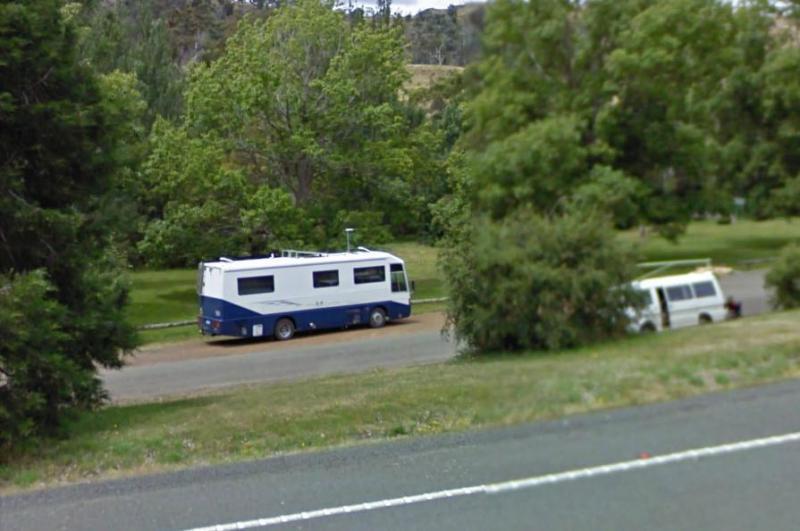
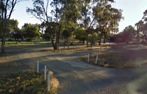
Stanley Rest Area
The Stanley Rest Area has a 24 Hour Stopover Limit. There is a public toilet, a dump point, undercover picnic tables and litter disposal points. Yo will find plenty of room to park the biggest rigs, and your spoilt with lots of level ground to choose from ...
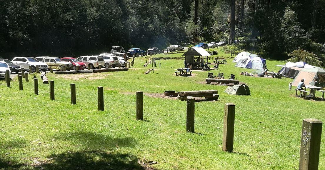
Starlings Gap Camping Area
The Starlings Gap Campground Secluded camping spot with a drop toilet facility but make sure to bring some toilet paper with you, fire pits and even a sheltered picnic table. This campsite gets very busy during public holiday weekends. Finding a level gro ...
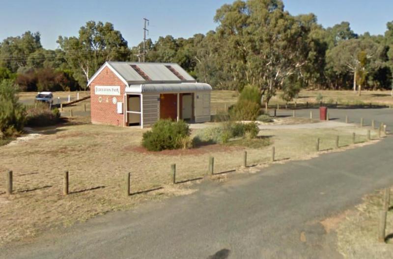
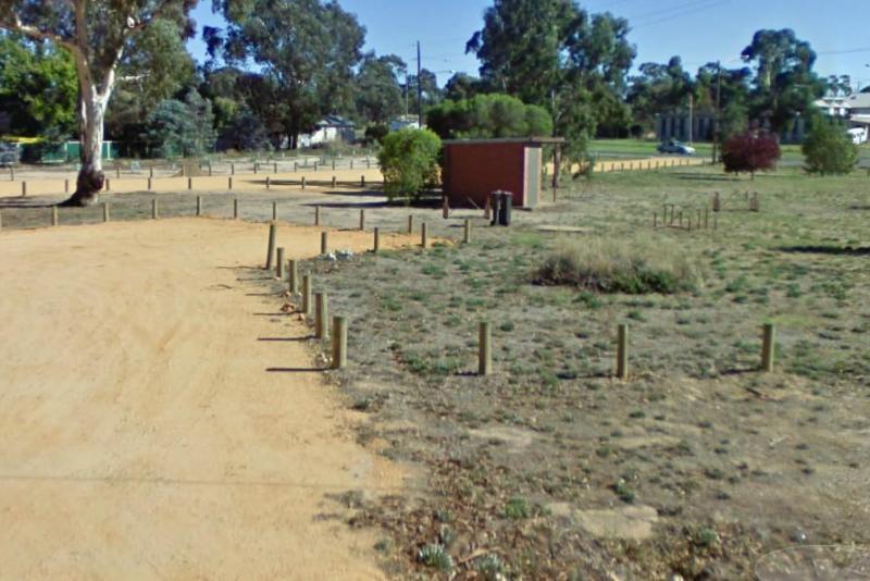
The Stawell Federation Park Rest Area is a large gravel area with water taps and fireplaces and picnic tables., you can also walk over the Grampians Rd and enjoy a short walk around the small lake, There are also public toilets and an information board at ...
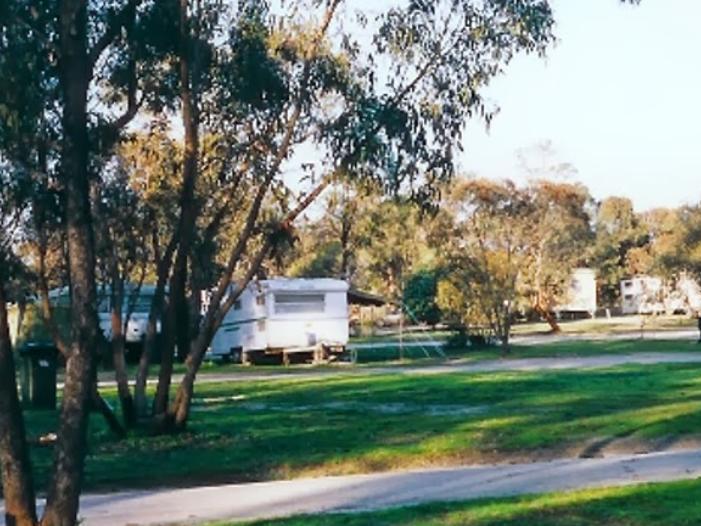
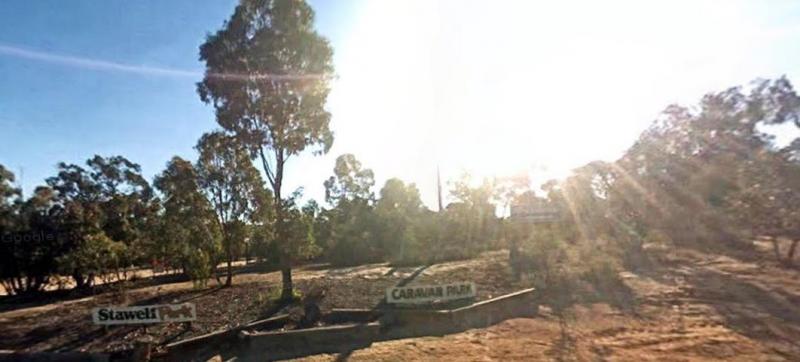
Stawell Park Caravan Park
Entrance to the Stawell Park Caravan Park Stawell Park Caravan Park location map
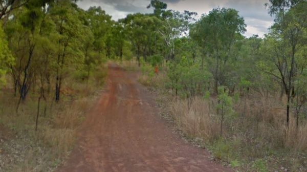
Entrance to the Sterling Mill Rest Area Sterling Mill Rest Area location map
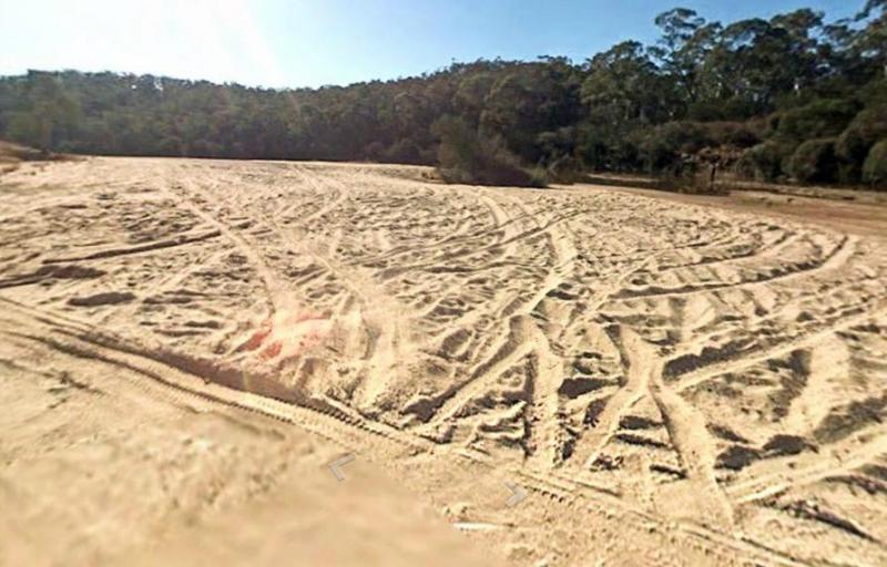
Entrance to the Stewarts Crossing Camping Area Stewarts Crossing Camping Area location map
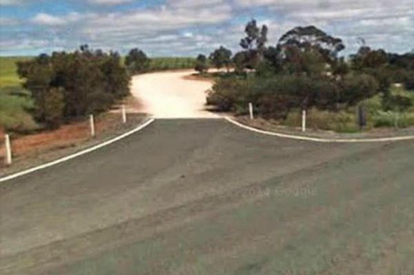
The Stockwell Rest Area is a small loop gravel driveway just off the Sturt Highway. There is room to park any sized rig here, but ground is not level, you will also find a rubbish bin and some limited shade, but not much else. Entrance to the Stockwell R ...
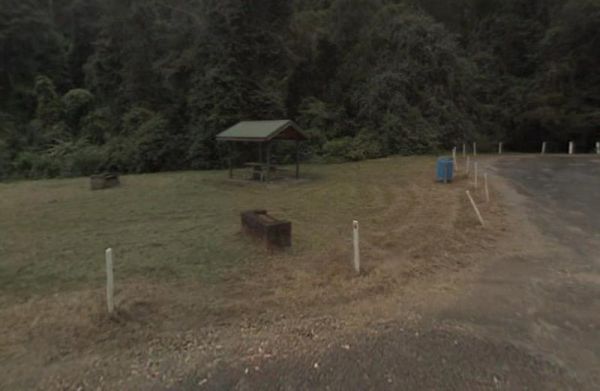
Stockyard Creek Rest Area
Entrance to the Stockyard Creek Rest Area Stockyard Creek Rest Area location map