List Categories and Listings by N
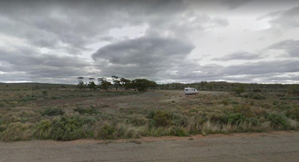
The Nackara East Rest Area is back a fair distance from the Barrier Highway, with a few trees for shade. Entrance to the Nackara East Rest Area Nackara East Rest Area location map

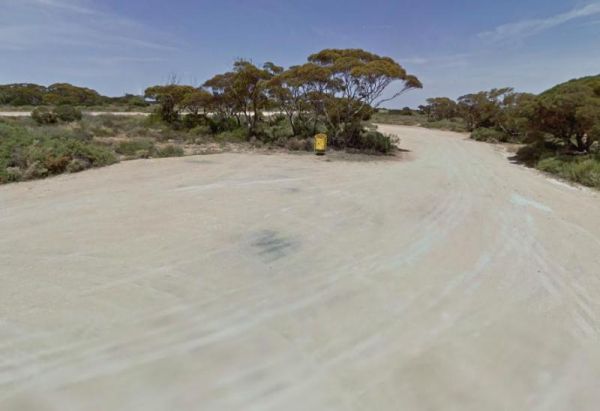
The Najada Rockhole Rest Area is a reasonably level gravel parking area, with limited shade and some rubbish bins. Entrance to the Najada Rockhole Rest Area Najada Rockhole Rest Area location map
Nalinga Rest Area is a large gravel area with plenty of parking. There is an undercover picnic tables area with rubbish bins. It's OK for a break from driving and sitting in the shade for a few minutes. The Broken River runs quite close to this rest area, ...
 ,
,  ,
,
Namadgi National Park Visitor Centre location map
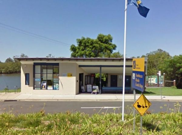
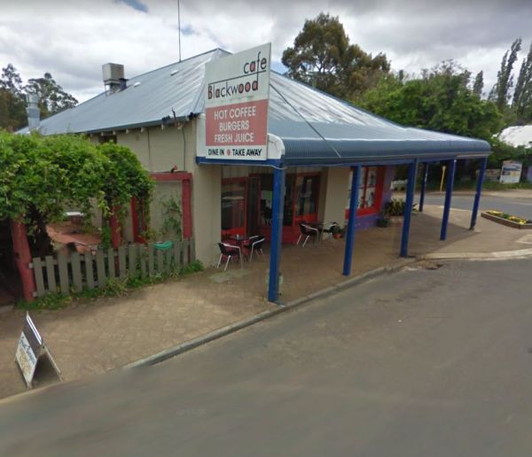
Entrance to the Nambucca Valley Visitor Information Centre Nambucca Valley Visitor Information Centre location map
 , ,
, ,
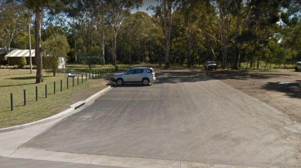
The Nanango Dump Point Entrance to the Nanango Dump Point Nanango Dump Point location map
 ,
,  , ,
, ,
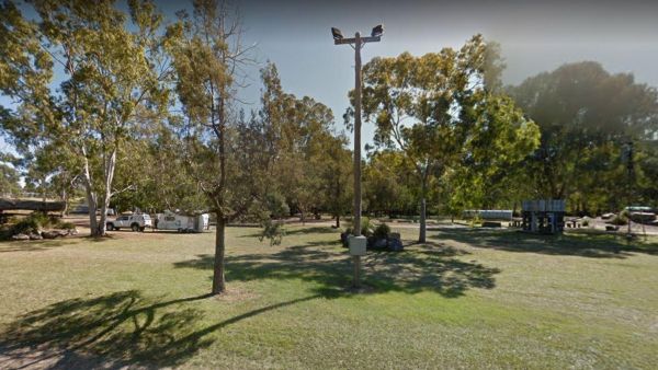
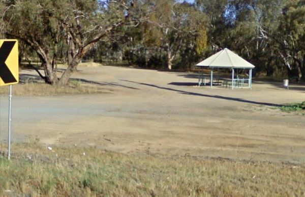
The Nanango Tipperary Flat Rest Area is nice and level with a 20 Hour Limit for stopovers. There are shady gum trees to park under, a public toilet, and picnic tables, some bbq fireplaces, and rubbish bins. The peanut wagon is also stationed here, they al ...
,  ,
,  , ,
, ,
Entrance to the Nancy Coulton Lookout Rest Area Nancy Coulton Lookout Rest Area location map
,
The Nannup Visitor Information Centre is a good source of tourist information for the Nannup region. Entrance to the Nannup Visitor Information Centre Nannup Visitor Information Centre location map
,
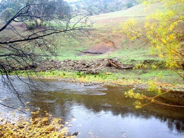
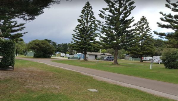
The Nariel Creek Recreation Reserve Camping Area is a large open grassed are with plenty of places to camp for the night. The Corryong Creek runs alongside this campground. Please note: The Nariel Creek Reserve was established as the site for the Nariel C ...
The Naringal East Rest Area is set back a short distance from the main road. Here you will get a bit of shade from the trees, and a place to rest a bit. Entrance to the Naringal East Rest Area Naringal East Rest Area location map
,
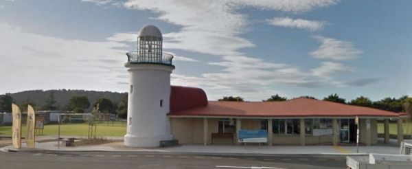
Entrance to the Narooma Visitors Centre Narooma Visitors Centre location map
Entrance to the Narrawong Caravan Park Narrawong Caravan Park location map
, ,  ,
,  , ,
, ,  ,
,  ,
,  ,
,  ,
, 
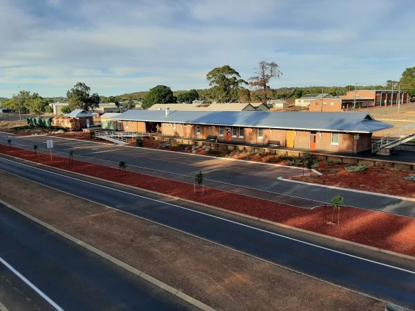
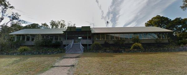
The Narrogin & Dryandra Visitor Centre is the essence of a good friendly place to visit to obtain local information and places to visit. Open 7 days a week: Monday – Friday 9am – 4pm Saturday 10am-4pm Sunday & public holidays 11am-3pm ( Closed Goo ...
, ,
The Narrogin Recreational Vehicle Free Stay Area has a 72 hour limit and is permitted to the south of and no closer than 20 metres of the Old Goods Shed. This rest area is almost opposite the Dryandra Country Visitor Centre. Overnight stays are for fully ...
Entrance to the Narromine East Lions Park Rest Area Narromine East Lions Park Rest Area location map
, ,
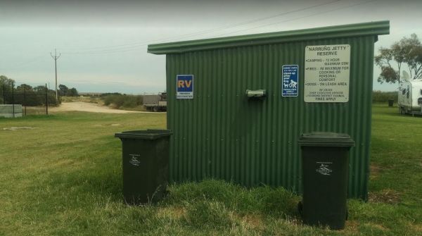
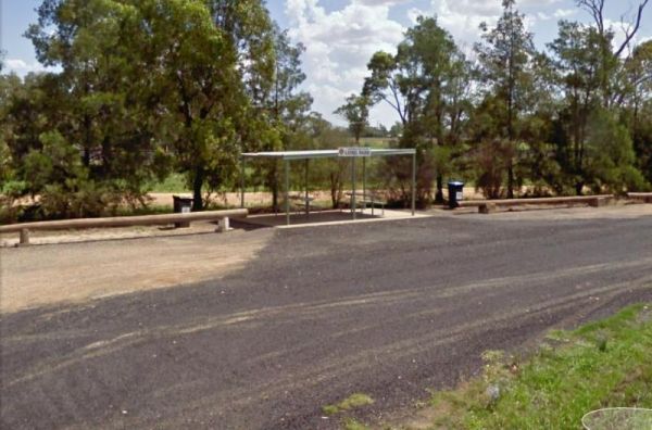
The Narrung Jetty Reserve is a beautiful free camping site grassy area. There are two toilet blocks, rubbish bins and water for washing dishes etc. NOTE: 72 Hour Limit for camping Entrance to the Narrung Jetty Reserve Narrung Jetty Reserve location ma ...
, , , ,
The Nash Creek Camping Ground is a state run campground with drop toilets onsite. This camping ground is best suited to 4x4 enthusiasts with plenty of 4x4 tracks to explore. Nash Creek Camping Ground Nash Creek Camping Ground location map
,
The Native Dog Flat Campground has plenty of green grass, with large campsites and one drop toilet, it has been reported that Brumby's sometimes come to this campground. Native Dog Flat Campground location map
,
The Native Waterhole Rest Area is set back from the Western Highway, with picnic tables and a few rubbish bins. Entrance to the Native Waterhole Rest Area Native Waterhole Rest Area location map
,