List Categories and Listings by P
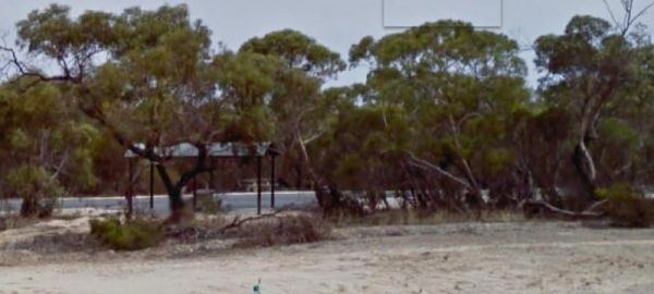
The Parrakie Rest Area Entrance to the Parrakie Rest Area Parrakie Rest Area location map
 ,
, 
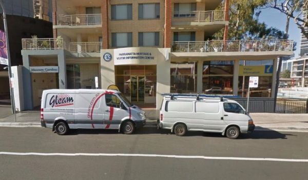
Entrance to the Parramatta Visitor Information Centre Parramatta Visitor Information Centre location map
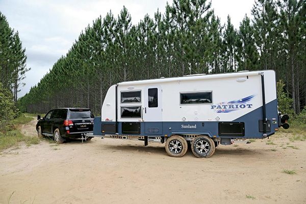
Have you had a problem with your Patriot Caravan? Or, are you entirely happy with your purchase? Please Submit your Honest Review to this listing So others are better informed, when they are looking to buy one of these caravans.
The Peak Charles National Park Camping Area access road can be very rough at times. There are dedicated fire pits, undercover picnic tables, and plenty of walking tracks. The track to the summit is not well marked, so do take care if you intend to do the ...
 ,
,  ,
,  ,
, 
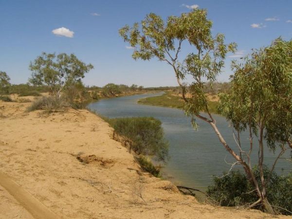
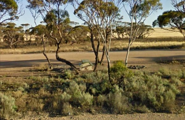
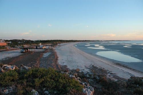
The Peake Creek Siding Rest Area is just off the Oodnadatta Track, shade is limited, but you can park quite close to the Peake Creek. The water in the creek is very salty, so you will need an Osmosis desalination plant if you intend to drink it. Peake Cr ...
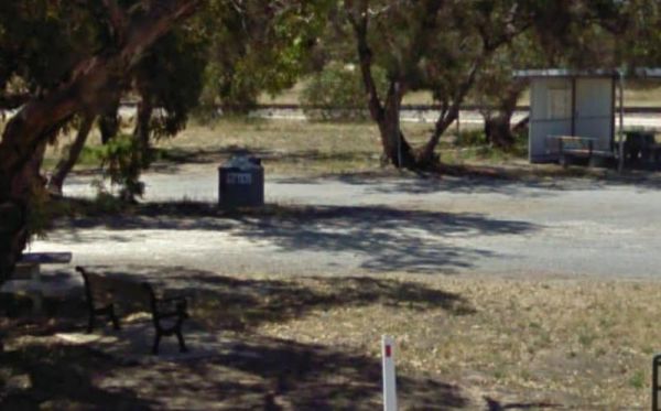
The Peake Rest Area Take a break from giving and walk over to the Silos and take a photo, this rest area has Rubbish bins provided. You can also walk to the Overlander Tavern and grab a bite to eat. Entrance to the Peake Rest Area Peake Rest Area loca ...
,
The Pear Creek Camping Area Be Smart... walk to this parking spot... before, committing to it with your van. Entrance to the Pear Creek Camping Area Pear Creek Camping Area location map
The Peggs Beach Conservation Area Campgrounds is controlled by Parks Tasmania. Entrance to the Peggs Beach Conservation Area Campgrounds Peggs Beach Conservation Area Campgrounds location map
, , , ,
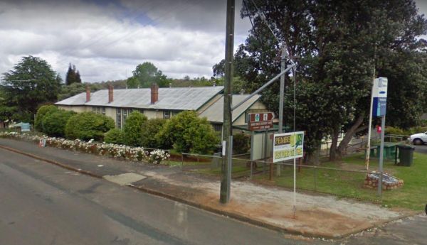
The Pemberton Visitor Information Centre has some picnic tables out front, and an Interesting museum on local timber industry Entrance to the Pemberton Visitor Information Centre Pemberton Visitor Information Centre location map
, ,
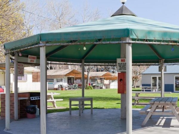
Entrance to the Peninsula Holiday Park Peninsula Holiday Park location map
,  ,
,  ,
,  ,
,  ,
,  , , ,
, , ,  ,
,  ,
, 
The Penong East Rest Area is a small oasis of trees on the edge of the Eyre Highway. There are a few small trees for shade and picnic tables and rubbish bins for your convenience. Entrance to the Penong East Rest Area Penong East Rest Area location ma ...

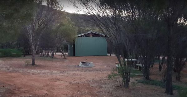
The Peppermint Ridge Camping Ground has two camping spots and has good access to the Big River. This is a bring everything with you spot and take away your rubbish when you leave. Peppermint Ridge Camping Ground location map
The Perlubie Beach Camping Area Entrance to the Perlubie Beach Camping Area Perlubie Beach Camping Area location map
,

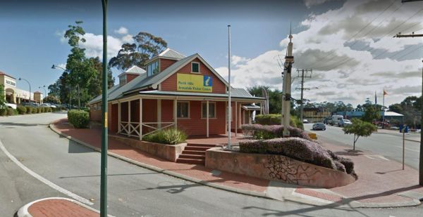
The Perth Hills Armadale Visitor Centre is on the corner of Jull Street and Hughies Road.Open Hours Mon-Fri 9am-4pmSat & Sun 11am-4pm Entrance to the Perth Hills Armadale Visitor Centre Perth Hills Armadale Visitor Centre location map
,
The Perth Lions Park Rest Area Entrance to the Perth Lions Park Rest Area Perth Lions Park Rest Area location map
, , , , , 
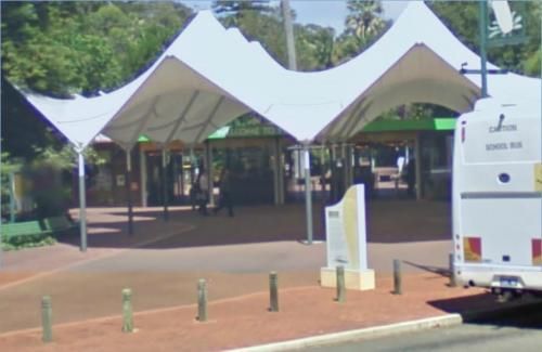
The Perth Zoo is not far from the centre of Perth. Entrance to the Perth Zoo Perth Zoo location map
,
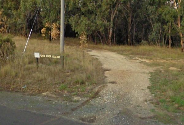
The Perts River Reserve is set well back along a gravel road from the Melba Highway on the Yea River. Nice spot for fishing or photography. Entrance to the Perts River Reserve Perts River Reserve location map
 , , ,
, , ,
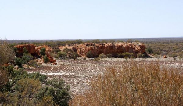
The Peter Denny Lookout Flat area is off the Agnew-Sandstone Road with picnic tables and low shrubs. The parking is on level ground and its only a short walk to view the natural gorge in the landscape. Entrance to the Peter Denny Lookout Peter Denny L ...
, ,