List Categories and Listings by M
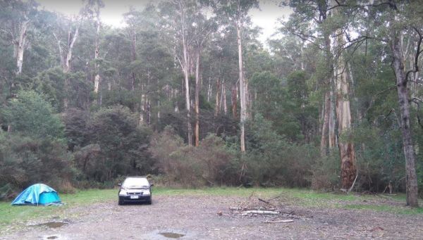
The Married Mens Camping Areais best suited to 4x4's and vehicle based camping. There are a reasonable amount of tent spaces available, and the Arnold Creek is nearby for running water.. Married Mens Camping Area location map
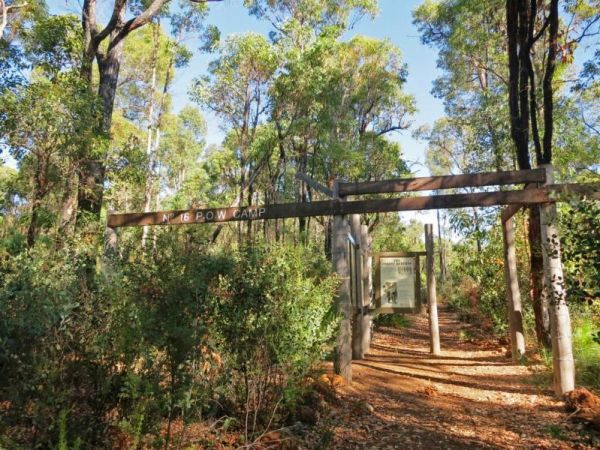
The Marrinup Townsite Camping Area was used During World War 2 to hold German and Italian POW's, there are markers placed in front of the various ruins. The road to the campsite is a bit rough in places but once you arrive, there are plenty of campsites. ...
 ,
, 
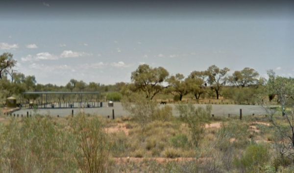
The Marryat Creek North Rest Area is set back a short distance from the Stuart Highway, with undercover picnic tables, rubbish bins, and plenty of off road parking. There is no water here so make sure you have plenty with you. Entrance to the Marryat Cre ...
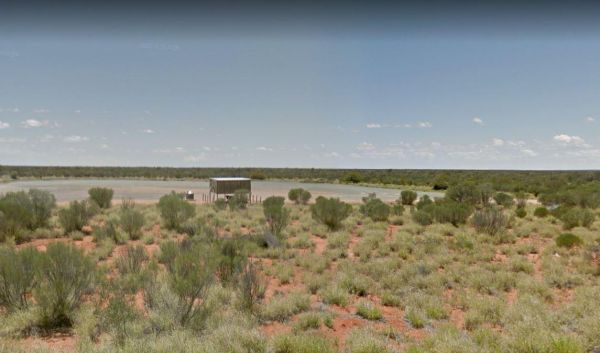
The Marryat Creek Rest Area is set back a short distance from the Stuart Highway, with undercover picnic tables, rubbish bins, and an emergency supply of rainwater in a tank, which may contain nothing, so make sure you have plenty of water with you. Entr ...
, 
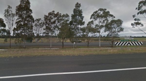
Entrance to the Marsden Rest Area Southbound Marsden Rest Area Southbound location map
 , , ,
, , , 
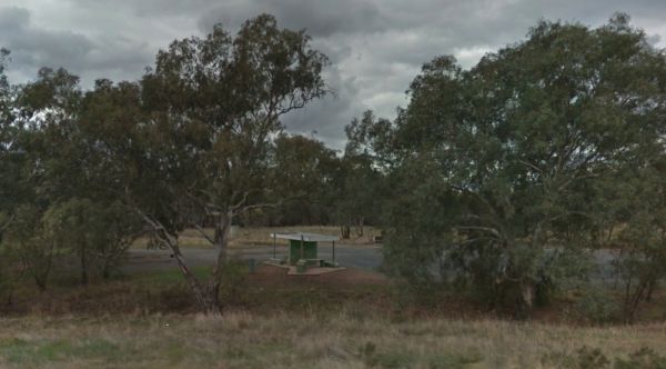
Entrance to the Marthaguy Rest Area Marthaguy Rest Area location map
, ,
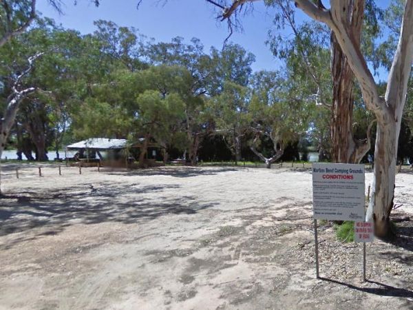
The Martin's Bend Reserve Campground has plenty of camping sites. Note: Direct Riverside Bank Camping is not permitted, there are dedicated campsites, at reasonable prices. Entrance to the Martin's Bend Reserve Campground Martin's Bend Reserve Campgro ...
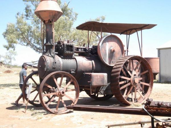
The Mary Kathleen Memorial Park has a public toilet, and BBQ's a few rubbish bins. The Information area and museum are clean and well maintained, with a good variety of minerals and old mining machinery to see. Entrance to the Mary Kathleen Memorial Park ...
,
Entrance to the Mary Lawson wayside Rest Area Mary Lawson wayside Rest Area location map
,
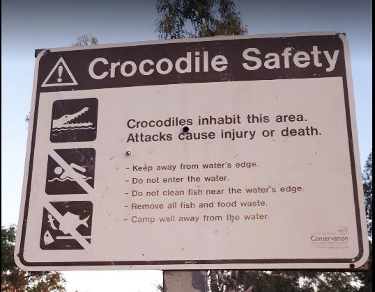
The Mary Pool Rest Area you should keep a watch for crocodiles that frequent the area, so be careful with small children and pets near the water. This is a popular camping spot, with quite a few places to chose from all on reasonably level ground. There a ...
,  ,
,  ,
,  ,
,
Entrance to the Maryborough Caravan Park Maryborough Caravan Park location map
,  ,
,  ,
,  ,
,  , ,
, ,  ,
,  ,
,  , , ,
, , ,  ,
,  ,
,
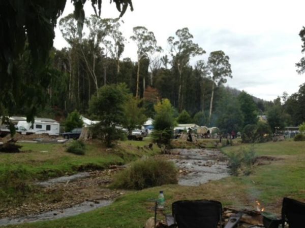
Entrance to the Marysville Caravan and Holiday Park Marysville Caravan and Holiday Park location map
, , , , , 
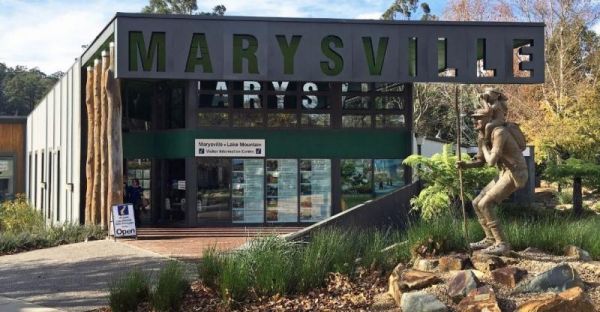
The Marysville Visitor Information Centre has all the information you will need when visiting this area. There is also a nice childrens playground next to the Stevenson River, and the Gallipoli Park is a must see, you won't be disappointed. Entrance to t ...
The Maslin Rest Area is a Large dusty open flat area, just off the Stuart Highway with an undercover picnic table and a few rubbish bins. shade is almost no existent. Entrance to the Maslin Rest Area Maslin Rest Area location map
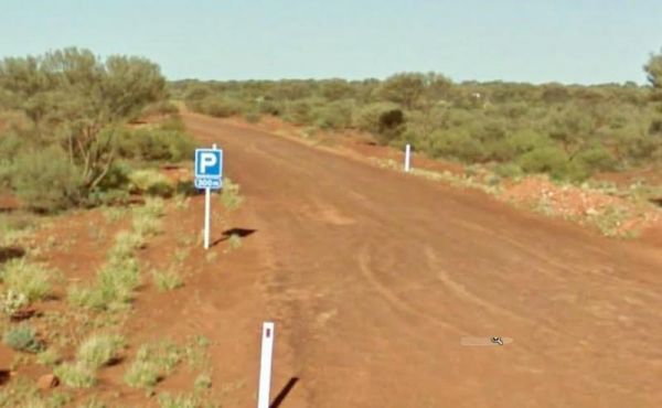
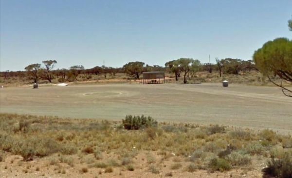
The Mathesons Bore Rest Area is on a gravel track 300 metres from the Stuart Highway, there's not a lot to do here but it is a popular rest stop nonetheless. Entrance to the Mathesons Bore Rest Area Mathesons Bore Rest Area location map
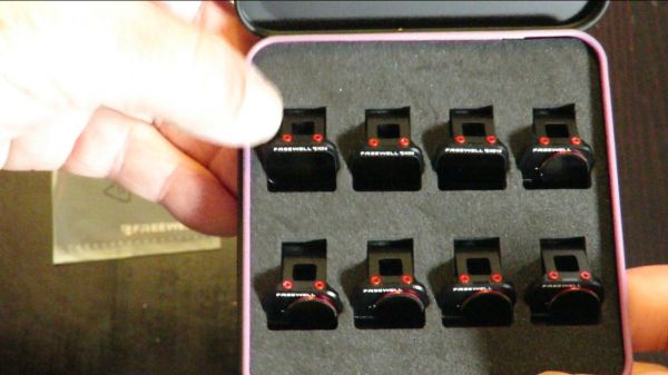
Mavic Mini Freewell ND Filters Review, and flight footage. My YouTube Mavic Mini Freewell ND Filters Review above.These Freewell filters all fit perfectly snug on the Mavic Mini, and won't fall off the gimbal in flight. Both the ND4 and ND8 (Neutral Dens ...
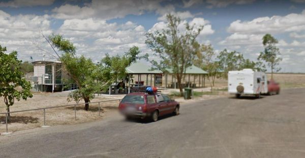
The Maxwelton Rest Area has an imposed 20 Hour Limit for stopovers. There are undercover picnic tables rubbish bins, a public toilet and plenty of room to park your caravan. Entrance to the Maxwelton Rest Area Maxwelton Rest Area location map
, ,
The McClelland Camping Area is with best accessed with 4x4's and vehicle based tent camping, you will need to bring everything you need and take your rubbish with you, water is available from the Big River, but make sure you treat it first before drinking ...
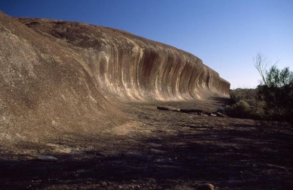
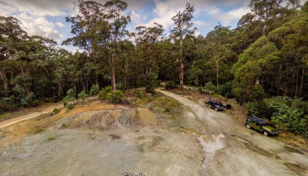
The McDermid Rock Camping Area is a fairly quiet place to camp. There are fairly flat areas to park your caravan, some picnic tables and fixed fire places. Be sure to take a stroll up the rock, and take your camera with you. At the base of McDermid Rock y ...
, , ,