List Categories and Listings by M
The Malcolm Dam Nature Reserve has a 3 Day stopover limit, and is located on a large man made lake with plenty of birdlife to photograph. There are some fire pits to cook on, and undercover picnic tables. Entrance to the Malcolm Dam Nature Reserve Mal ...
 ,
,  ,
, 
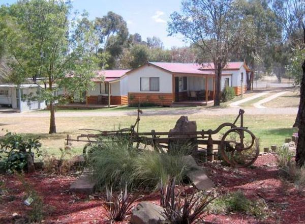
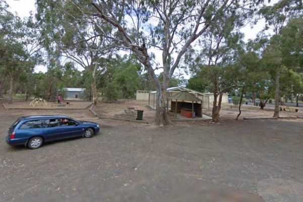
Entrance to the Maldon Caravan & Camping Park Maldon Caravan & Camping Park location map
 , ,
, ,  ,
,  ,
,  ,
,  ,
, 
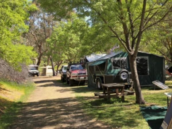
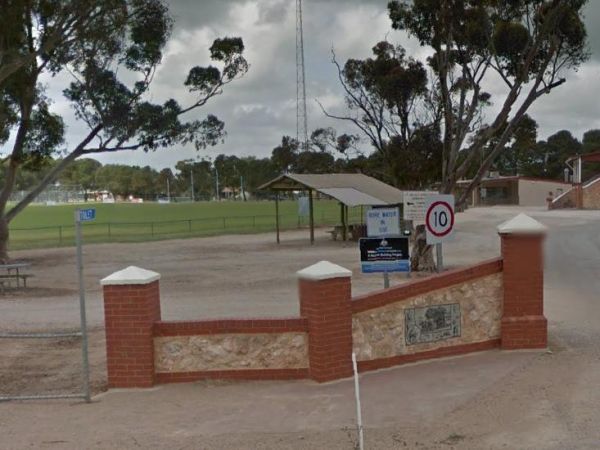
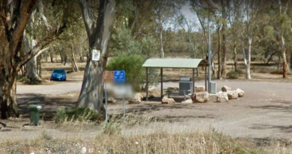
The Maldon Historic Reserve Butts Camping Area has proper flushing toilets and fire pits with swing over hotplates. There is plenty of room for tents and caravans, but take your levelling blocks with you just in case all the flat ground is taken.Note This ...
, , ,
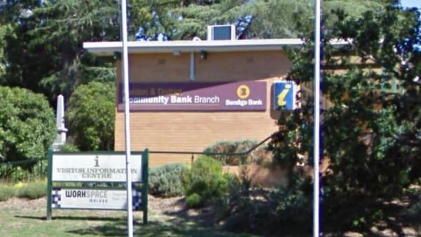
The Maldon Visitor Information Centre is open from 9.00am to 5.00pm everyday. Maldon is a nice historical town and you will get all the info to keep you busy for quite a few days here. Entrance to the Maldon Visitor Information Centre Maldon Visitor I ...
The Mallala Camping Ground is a free camping ground with Hot showers that are coin operated. Campsites are good value at $10.00 per night.You are quite close to town here, and you get will your pantry from the IGA, and have a break from cooking, by headin ...
, , , ,
Entrance to the Mallanganee Oval Camping Area 24 Hour Limit Mallanganee Oval Camping Area 24 Hour Limit location map
 ,
,
Entrance to the Mallee Fowl Rest Area Mallee Fowl Rest Area location map
, , , ,
The Malone Park Rest Area has plenty of space for all caravans and motorhomes of all sizes. Entrance to the Malone Park Rest Area Malone Park Rest Area location map
, , ,
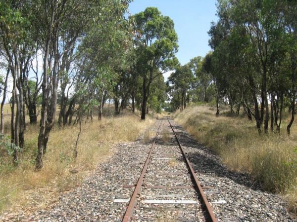
The Mambray Creek Rest Area has plenty of room to park. Check out the Old Mambray Creek rail bridge while your there. There are undercover picnic tables, rubbish bins and plenty of shade to park under. There is a rest are on both sides of the road and pic ...
,
The Manangatang Rest Area is a large gravel area set back from Wattle Street with toilets to make a stop here more pleasant. Entrance to the Manangatang Rest Area Manangatang Rest Area location map
, , , 
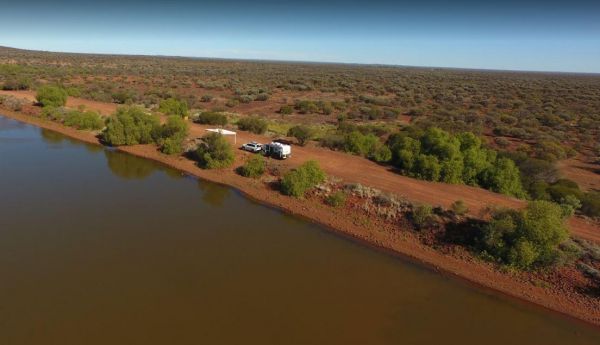
Discounts available if you stay for one week or more.There are freshwater prawns in the Katherine River. Entrance to the Manbulloo Homestead Manbulloo Homestead location map
, , ,  ,
,
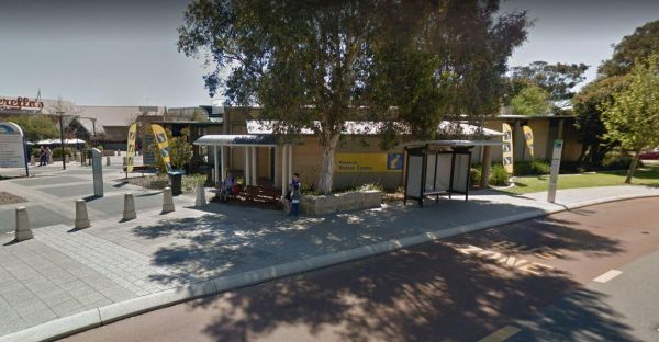
The Mandurah Visitor Information Centre is a Large visitor centre with many maps, leaflets & brochures giving comprehensive information on all parts of WA as well as Mandurah / Peel region. Entrance to the Mandurah Visitor Information Centre Mandu ...
,
Entrance to the Mandurama East Rest Area Mandurama East Rest Area location map
, ,
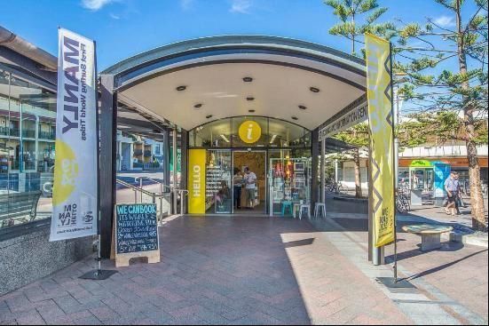
Entrance to the Manly Visitor Information Centre Manly Visitor Information Centre location map
Entrance to the Mann River Caravan Park Mann River Caravan Park location map
, , , , , ,  ,
,  , ,
, ,
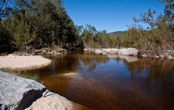
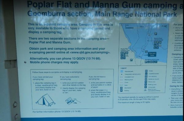
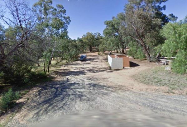
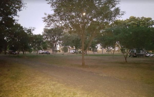
The Manna Gum Camping Area is close to the Dalrymple Creek with lots of room to pick a campsite from. Manna Gum Camping Area location map
, ,
The Manna Hill Park Rest Area Entrance to the Manna Hill Park Rest Area Manna Hill Park Rest Area location map
, ,
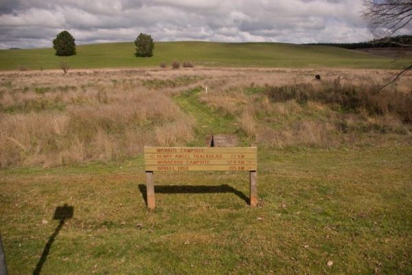
Entrance to the Mannus Camping Area Mannus Camping Area location map