List Categories and Listings by D
The De Grey River Rest Area has a 24 Hour Limit it also has flushing clean toilets and there is plenty of room to park away from the highway. Warning: Crocodiles have been reportedly seen in the river so take care. Entrance to the De Grey River Rest Area ...
 ,
,  ,
,  ,
,  ,
, 
Entrance to the Dead Mans Point Rest Area Dead Mans Point Rest Area location map
 , ,
, ,  ,
,
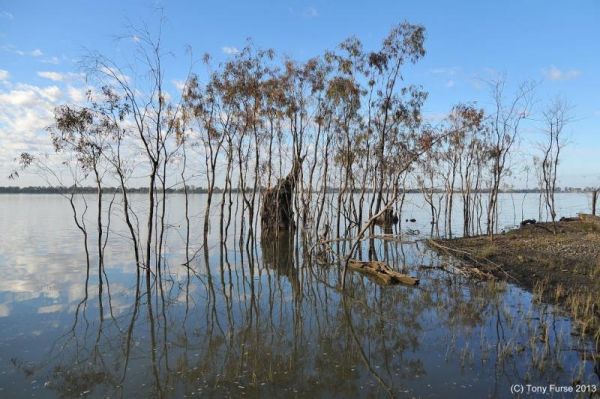
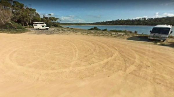
The Dead River Beach Camping Area is on the Banks of the Murray River, it is a barebones camp so you will need to bring everything you need with you, and take your rubbish with you when you leave. Dead River Beach Camping Area loation map
The Dederang North Rest Area is on a raised embankment adjoining the Kiewa Valley Highway. Pull over here and take a break from driving. Entrance to the Dedarang North Rest Area Dedarang North Rest Area location map
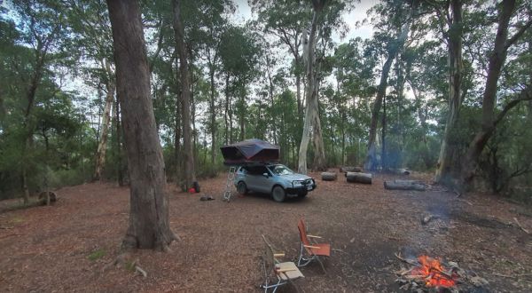
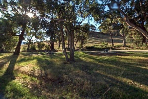
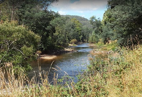
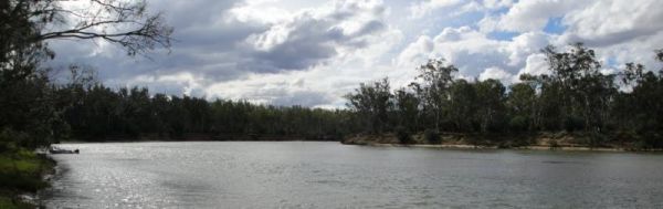
The Delegate River Camping Area is as the name suggests, is next to the Delegate River, so don't forget your fishing gear and camera when camping here. Delegate River Camping Area location map
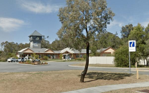
The Denmark Visitor Information Centre has very helpful staff whom possess lots of local knowledge. There is dedicated Caravan parking here, so there is no excuse to not pop in if your visiting Denmark for the first time. Entrance to the Denmark Visitor ...
,
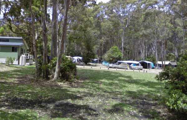
Entrance to the Depot Beach Campground Depot Beach Campground location map
,  , , ,
, , , 
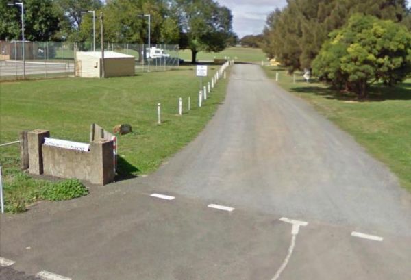
The Derby Park is a nice free camp with public toilets and paid showers (You will need coins for them). There are a few picnic tables and good bike tracks. Entrance to the Derby Park Derby Park location map
, , , , , ,
Entrance to the Derrick VC Rest Area Derrick VC Rest Area location map
, , ,
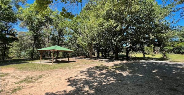
The Derrinallum Recreation Reserve Rest Area is a free camp for 24 Hours only. There are a few trees for shade, rubbish bins, a toilet block, and playground onsite. This is also a dog friendly stopover. Be sure to spend some money in town to help fund the ...
,  , , ,
, , ,
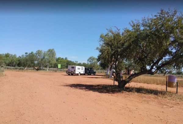
The Des Streckfuss Rest Area has a 24 stop over Hour Limit. The rest area is set well back from the Marble Bar Road, with public toilets and BBQ facilities. You can walk to the Gorge Creek, but the water levels will vary with the season, so it may or may ...
, , 
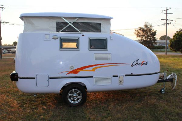
Have you had a problem with your Desert Edge Trailer? Or, are you entirely happy with your purchase? Please Submit your Honest Review to this listing So others are better informed, when they are looking to buy one of these caravans.
Have you had a problem with your Designer Caravan? Or, are you entirely happy with your purchase? Please Submit your Honest Review to this listing So others are better informed, when they are looking to buy one of these caravans. NOTE: Permanently Cl ...
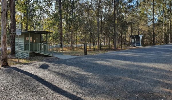
Entrance to the Diamond Head Campground Diamond Head Campground location map
, ,
The Diana's Basin Camping Area Entrance to the Diana's Basin Camping Area Diana's Basin Camping Area location map
, ,
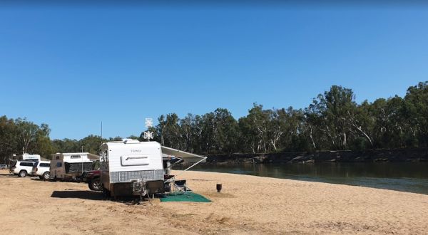
The Dicks Bend Camping Area is on the banks of the Murray River and a good spot to base a fishing expedition from. There are plenty of trees about for shade and room to let the dog have a run at this campsite. Dicks Bend Camping Area location map
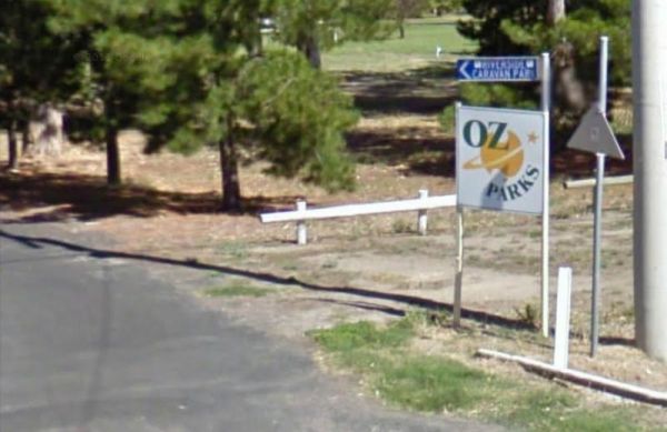
Entrance to the Dimboola Riverside Caravan Park Dimboola Riverside Caravan Park location map
, , ,  , ,
, ,  , , ,
, , ,
Entrance to the Dingo Fence Rest Area Dingo Fence Rest Area location map
Entrance to the Dinjerra Road Rest Area Dinjerra Road Rest Area location map
, ,
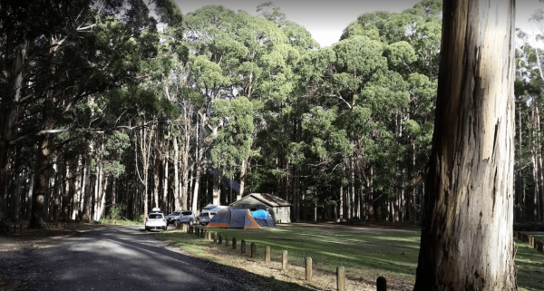
The Ditchfield Camping Area is spread over a decent area, so plenty of tent sites available, and there is a hut onsite with a fireplace with a long table and seating. Ditchfield Camping Area location map
, , ,