List Categories and Listings by B
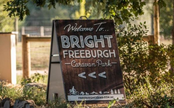
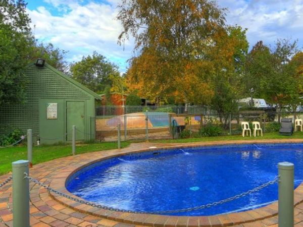
Entrance to the Bright Freeburgh Caravan Park Bright Freeburgh Caravan Park location map
 ,
,  ,
,  ,
,  ,
,  ,
,  ,
,  ,
,  ,
,  ,
,  ,
,  ,
,  ,
, 
The Bright Pine Valley Tourist Park has a swimming pool slide and toddler area. Lots of big trees which provide plenty of shade. This caravan park is just a short walk from town. Entrance to the Bright Pine Valley Tourist Park Bright Pine Valley Touri ...
, ,  , ,
, ,  ,
,  ,
,  , , , , , , ,
The Bright Riverside Holiday Park is located on right the banks of the Ovens River, with plenty of powered and unpowered sites with riverfront views, the only drawback is it close proximity to HT power lines buzzing overhead. Entrance to the Bright River ...
, ,  ,
,  , ,
, ,  , , ,
, , , 
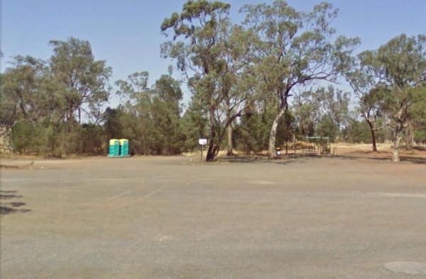
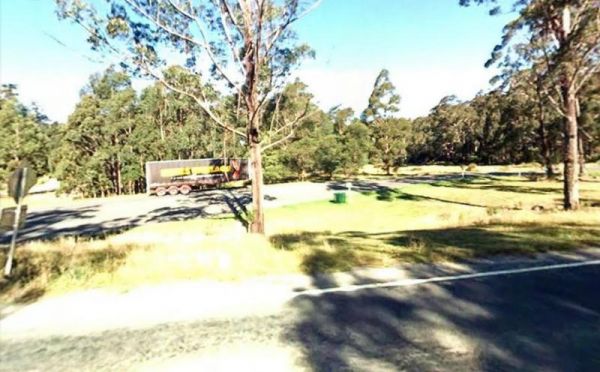
The Brightlight Saddle Rest Area is just off the Princes Highway and has plenty of shade. There are two picnic tables and a rubbish bin so you and take a break from driving and have a picnic and watch the traffic go by. Entrance to the Brightlight Saddle ...
Entrance to the Brocklehurst Rest Area Brocklehurst Rest Area location map
,  , ,
, ,
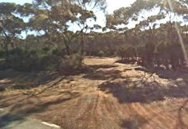
The Brockway Rest Area is just off the Coolgardie-Esperance Highway, with limited shade and room to park your caravan. Just off the main highway with plenty of room for trucks and caravans alike. Entrance to the Brockway Rest Area Brockway Rest Area l ...
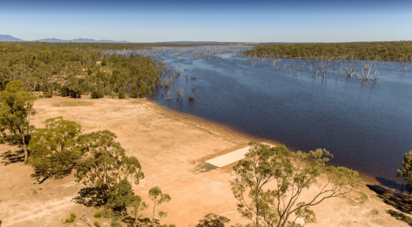
The Brodies Corner Camping Area is a great spot on the bank of Rocklands Reservoir. It is a large secluded camping ground, with easy access for cars. There are plenty of fishing spots and a boat ramp plus Toilets make this a pleasant spot to camp. Brodie ...

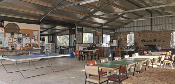
This wonderful and affordable campground provides ample open spaces for camping, featuring scattered fire pits across the property. You'll find convenient on-site options for reasonably priced firewood. The campsite boasts well-equipped amenities, includi ...
, , , ,  ,
,
The Bromus Dam Camping Area is set back a short distance from the Coolgardie-Esperance Highway. There are quite a few shaded campsites available, and the chance of a yabbie dinner. Entrance to the Bromus Dam Camping Area Bromus Dam Camping Area locati ...
, ,
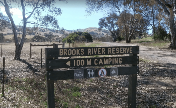
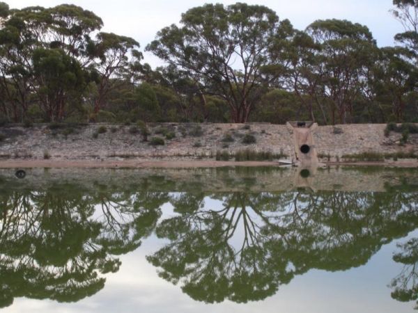
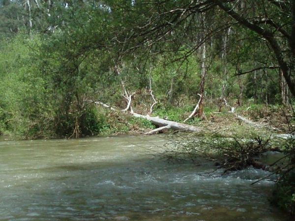
The Brooks River Reserve Camping Area is a lovely spot with a Long drop toilet and easy access to the Goulburn River for those interested in water activities. Brooks River Reserve Camping Area location map
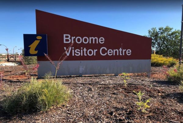
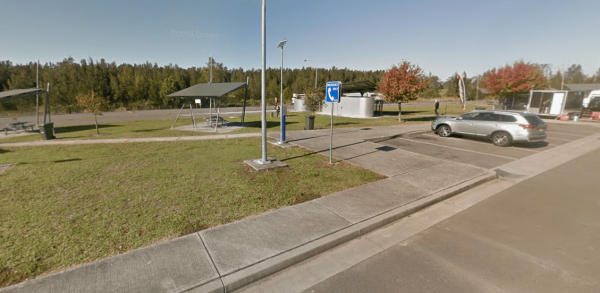
The Broome Visitor Information Centre has lots of brochures and essentially all the information you need. This is a good stop for caravans, it has fresh water supply for campers, and a black water dump point.Open Hours: Monday - Friday 8:30am - 5:00pm Sat ...
, , ,
Entrance to the Brooms Head Caravan Park Brooms Head Caravan Park location map
, , , , , , ,
Entrance to the Brown Mountain Rest Area Brown Mountain Rest Area location map
 , ,
, ,
Browns Flat Rest Area Southbound is a large area with plenty of room for large caravans motorhomes ect. Please Note NO CAMPING is Permitted at this rest stop. Entrance to the Browns Flat Rest Area Southbound Browns Flat Rest Area Southbound location m ...
, , ,

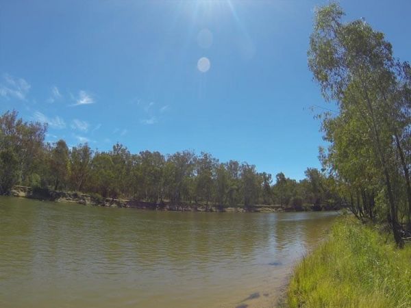
The Bruces Bend Camping Area is located on the banks of the Murray River, and is accessible by 2 wheel cars in dry weather. Here you will find Non-flush toilets and picnic tables and a boat ramp. Bruces Bend Camping Area location map
Have you had a problem with your Bruder Caravans? Or, are you entirely happy with your purchase? Please Submit your Honest Review to this listing So others are better informed, when they are looking to buy one of these caravans.
The Buckland River Camping Area has a few camping areas along the Buckland River. Remember to Boil the River water for tea or coffee. There are also plenty of fishing spots to choose from, and for kayakers a bit of fun available also. Buckland River Camp ...
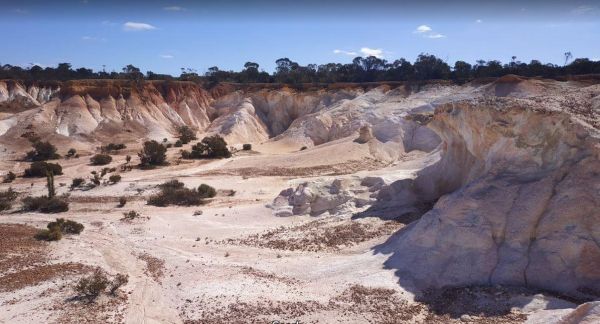
The Buckleys Breakaway is a well worth your time to visit here and especially If you’re already in the Wave Rock area. It's a different structure to wave rock, and there is an information board to explain how this landscape was formed.No Camping Allowed ...