List Categories and Listings by A
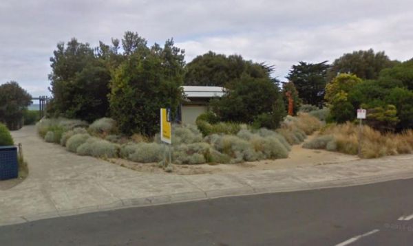
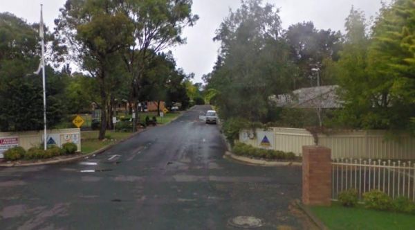
The Apollo Bay Information Centre is also within easy walking distance to the sandy beach of Apollo Bay. Entrance to the Apollo Bay Information Centre Apollo Bay Information Centre location map

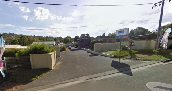
The Apollo Bay Pisces Holiday Park Big4 is a nice location on a hill overlooking the beach and it has a heated pool that is open to 8pm. Entrance to the Apollo Bay Pisces Holiday Park Big4 Apollo Bay Pisces Holiday Park Big4 location map
,  ,
,  ,
,  ,
,  ,
,  ,
,  ,
, 
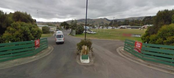
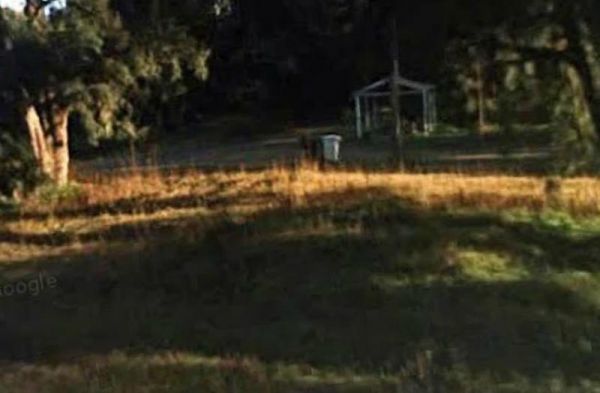
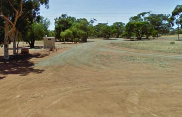
The Apollo Bay Recreation Reserve ia a nice place for people wanting to camp with dogs, there is a beautiful river and access to the beach nearby. Entrance to the Apollo Bay Recreation Reserve Apollo Bay Recreation Reserve location map
, , ,  ,
,  ,
,  ,
, 
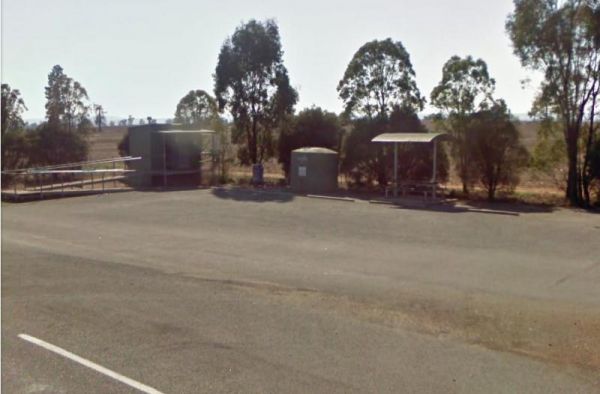
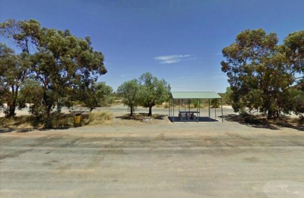
The Apollo Bay Rest Area is a large parking area opposite a Caltex petrol station, so you can pop over the road and grab a cold drink and a few snack foods while you stop here. Entrance to the Apollo Bay Rest Area Apollo Bay Rest Area location map
, ,
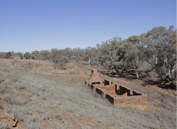
The Appealinna Ruins are on your left hand side when you reach the roundabout at the end of the road. Appealinna Ruins 360 Entrance to the Appealinna Ruins Appealinna Ruins location map
The Apple Tree Creek Rest Area is within earshot of the Bruce Highway, so you will hear the trucks passing by. This rest spot has picnic tables, a Public toilet and a few rubbish bins. There is quite a bit of room to park your caravan, and if you have lit ...
, , ,
Entrance to the Apsley Rest Area Apsley Rest Area location map
,  ,
,
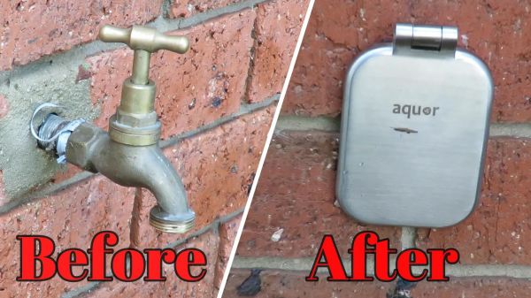
The Aquor hydrant body is made from marine-grade 316L stainless steel. Unlike conventional brass taps, the House Hydrant has only one moving part, a solid stainless steel operating rod, with a high performance Viton O-ring.When you unplug from the hydran ...
Entrance to the Araluen Creek Rest Area Araluen Creek Rest Area location map
, , , ,
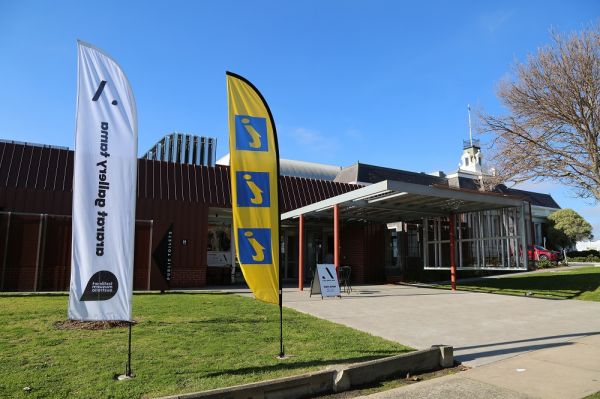
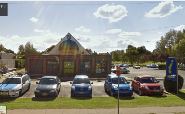
Open Hours:10.00am to 4.00pm everyday Entrance to the Ararat and Grampians Visitor Information Centre Ararat and Grampians Visitor Information Centre Location Map Ararat and Grampians Visitor Information Centre location map

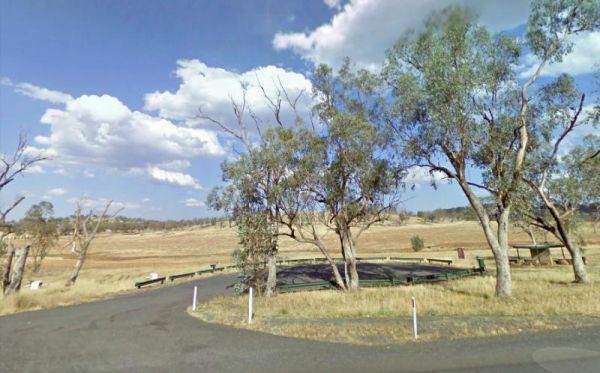
The Archers Crossing Camping Area (Northside) is on the banks of the Condamine River. Here you can try your hand at catching a fish for dinner. Archers Crossing Camping Area (Northside) location map
 , , ,
, , ,
The Archers Crossing Camping Area (Southside) is on the banks of the Condamine River. There are Fireplaces BBQ's, a few picnic tables and some shade trees. You might like to pop your kayak into the river and try to catch a fish for dinner. Archers Crossi ...
, , , , ,
Entrance to the Ardlethan Rest Area Ardlethan Rest Area location map
, , , 
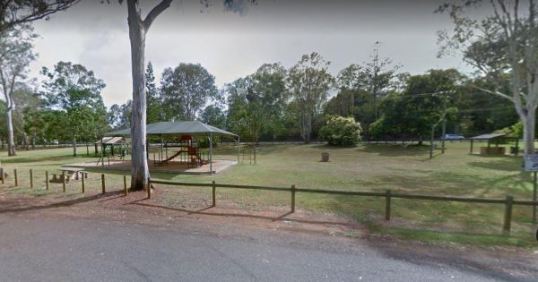
Entrance to the Ariah Park Campground Ariah Park Recreation Reserve location map
, ,  , , ,
, , ,

With its compact and ergonomic design, the Arkfield Pro prioritises convenience and portability. Whether slipped into your pocket or attached to your gear, it ensures powerful illumination is readily accessible. Engineered to endure daily use and outdoor ...
Entrance to the Armidale Tourist Park Armidale Tourist Park location map
, , ,  , , , ,
Entrance to the Armidale Visitor Information Centre Armidale Visitor Information Centre location map
,
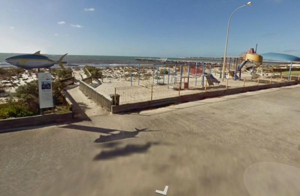
The Arno Bay Park Rest Area is next to a children's playground and a short stroll to the beach, and the town jetty. The Hotel Arno is within easy walking distance also. Entrance to the Arno Bay Park Rest Area Arno Bay Park Rest Area location map ...
, , ,
The Arrino Siding Rest Area is on the corner of Midlands Road and Arno West Road, and is reasonable level gravel surface. There is a public toilet, picnic tables, rubbish bins, but very limited shade. Entrance to the Arrino Siding Rest Area Arrino Sid ...
,
The Arrowsmith Rest Area is on a gravel surface just off the Brand Highway. There is a public toilet and an undercover picnic tables and rubbish bins, and BBQ fireplaces. No Overnight Camping Permitted This is strictly a Rest Area Only Entrance to the Ar ...
, , , ,