Marrinup Townsite Camping Area
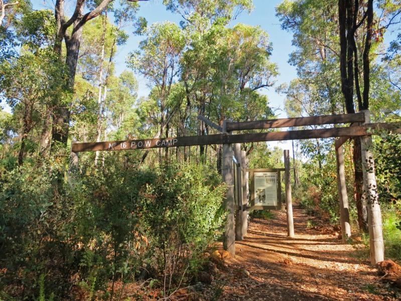
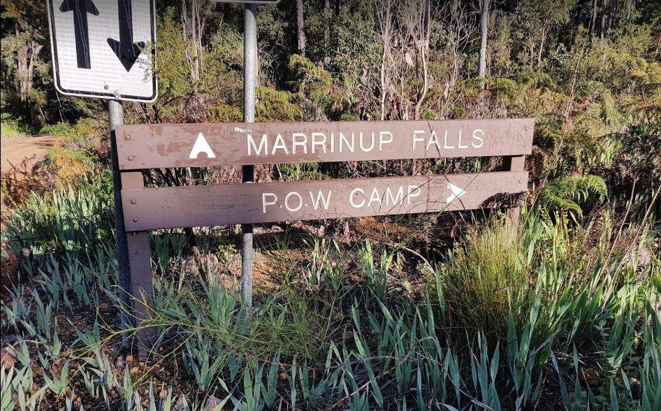

The road to the campsite is a bit rough in places but once you arrive, there are plenty of campsites. You can walk to waterfalls and explore the bush walks. in the area
NO GENERATORS Permitted in the camping area.
NOTE: Fees now apply for staying here.
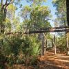
Entrance to the Marrinup Townsite Camping Area
Marrinup Townsite Camping Area location map
Address
Freeman Road, Holyoake, 6213, Western Australia, Australia
Sat Nav Coordinate
-32.702328, 116.027479
Campsite Fees
None that I'm Aware Of
Road Access
Unsealed Road Surface
Parking Area
Gravel Parking
Elevation above Sea Level
242.9 meters
Drive through site
A few Drive through Caravan sites available
Big Rigs
Yes - there is room to maneuver
Power Available
No onsite power that I'm aware of
Toilets
None that I'm aware of at this location
Drinking Water
Bring your own clean drinking water
Rubbish Bins
None that I'm aware of. PLEASE Take your rubbish with you when you leave
Shade
Yes - lots of Shady Spots to choose from
Picnic Tables
Yes there are a few scattered here and there
Fixed Fire places
None that I'm aware of
Fixed BBQ's
None that I'm aware of
Pet Friendly
Yes Dogs are Permitted - and some Conditions do Apply
Childrens Playground
None that I'm Aware of
Short Walks
Yes - You can stretch your legs here
Fishing
No - Nothing within easy walking distance.
TV Reception
Unknown if a TV signal is available at this location
Mobile Phone Reception
Mobile phone coverage is available depending on your carrier
Internet Access
Yes - Uses your Mobile Phones Internet Data Plan
Facilities Available
 ,
, 
Camping Info