Rest Areas
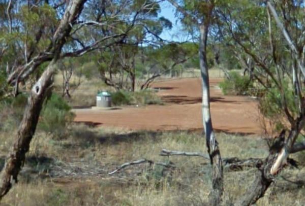
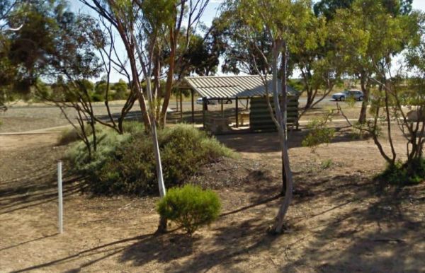
Darkes Memorial Rest Area
The Darkes Memorial Rest Area is set back a short distance on a gravel surface from the Eyre Highway. There are rubbish bins, some small shady trees, and plenty of parking areas that are relatively flat. Entrance to the Darkes Memorial Rest Area Darke ...
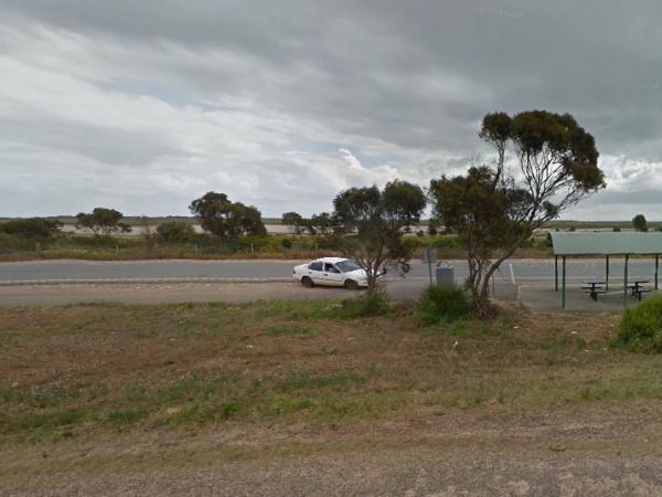
The Drain M Rest Area is set back from the Princes Highway with a small row of trees for shade, and a rubbish bin. There's not much to do here apart from taking a break from driving. Entrance to the Drain M Rest Area Drain M Rest Area location map ...
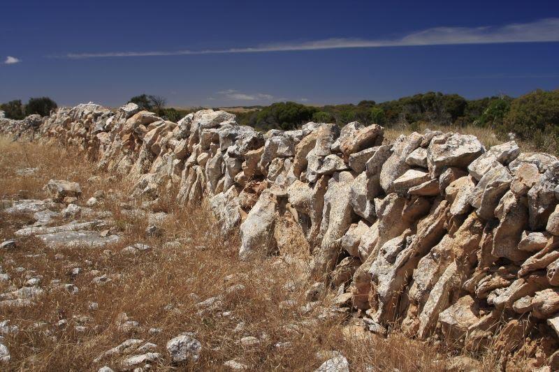
The Dry Stone Walling Rest Area is close to Lake Tunketta, and next to a long dry stone wall. There are a few small trees separating this rest area and the Princes Highway. Entrance to the Dry Stone Walling Rest Area Dry Stone Walling Rest Area locati ...
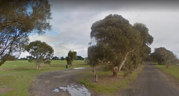
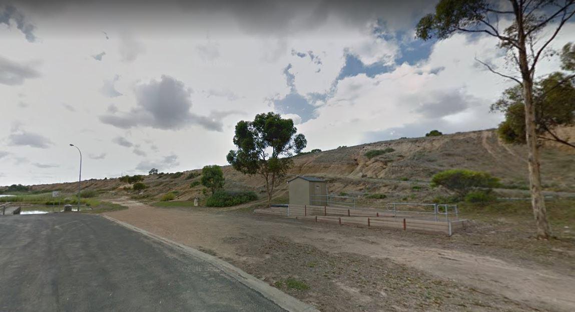
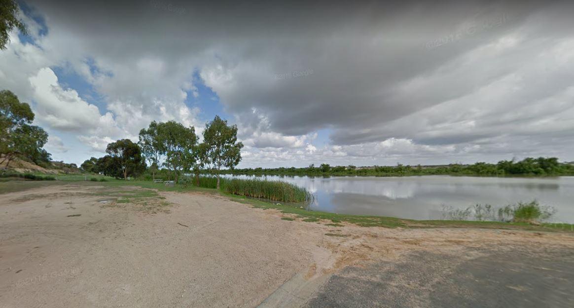
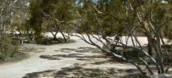
The Dublin Lions Park Rest Area Entrance to the Dublin Lions Park Rest Area Dublin Lions Park Rest Area location map
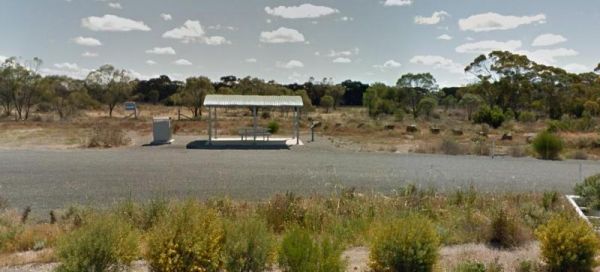
The Dublin North Rest Area is in close proximity of the Princes Highway with an undercover picnic table, and a few rubbish bins. There is very limited shade here, but plenty of room to park your caravan. Entrance to the Dublin North Rest Area Dublin N ...
Eight Mile Corner Rest Area
The Eight Mile Corner Rest Area is set back a short distance from the Sturt Highway, with plenty of room to park. There is an undercover picnic table nad rubbish bin at your disposal here but not much else.There is a 20 hour stopover permitted at this res ...
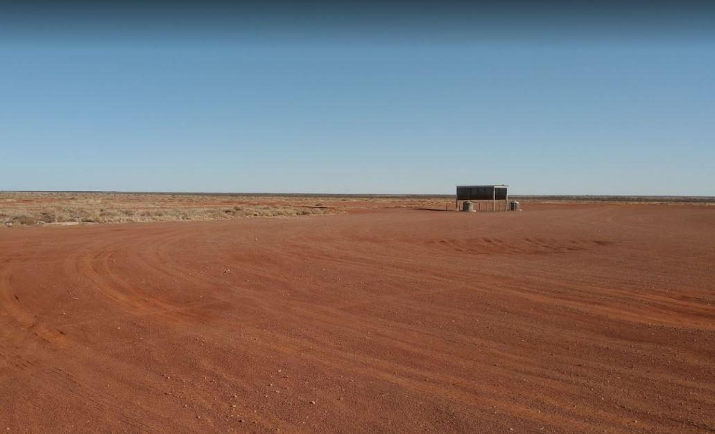
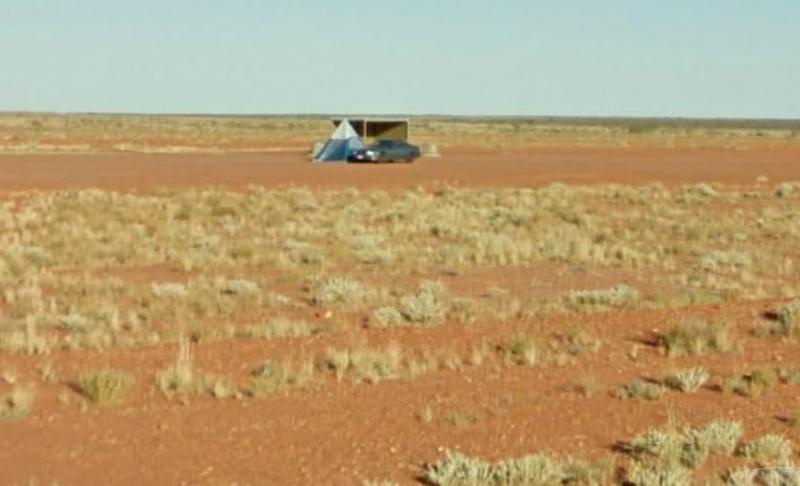
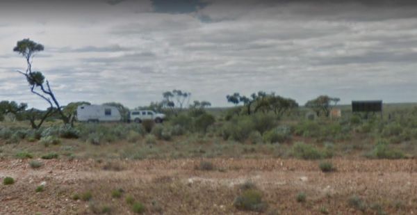
The Evelyn Downs Rest Area is a flat and desolate place. There is an undercover picnic table and some rubbish bins, and not much else. On a good note though, its flat as a tack as far as the eyes can see in all directions. Entrance to the Evelyn Downs Re ...
Eyre's Water Hole Rest Area
The Eyre's Water Hole Rest Area Entrance to the Eyre's Water Hole Rest Area Eyre's Water Hole Rest Area location map
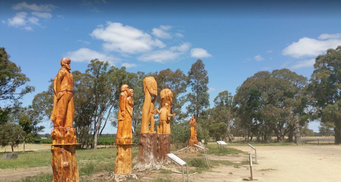
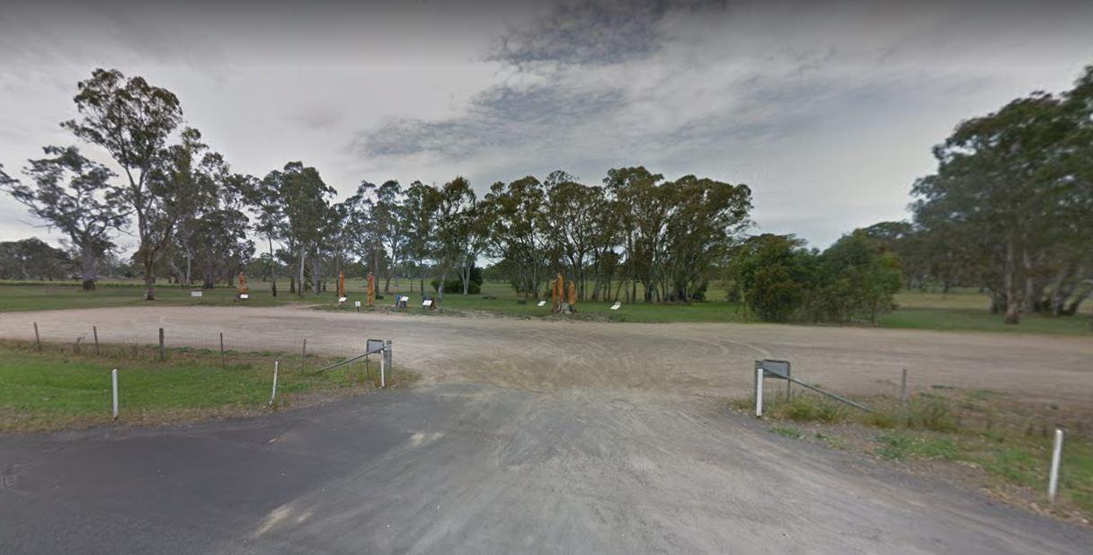
The Father Woods Park is just off the Riddoch Highway, featuring Chainsaw wood carvings and History of to a priest called Father Woods, who spent 10 years during the 1800's, in this local vicinity, and also carvings of Mary Mackillop another prominent per ...
Fitzgerald Bay Camping Areas
The Fitzgerald Bay Camping Areas are all in designated locations with nice views of the bay. There are no facilities so make sure you bring everything you need and take your rubbish with you when you leave. Fitzgerald Bay Camping Areas location map
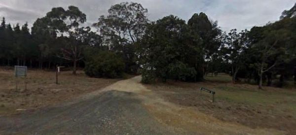
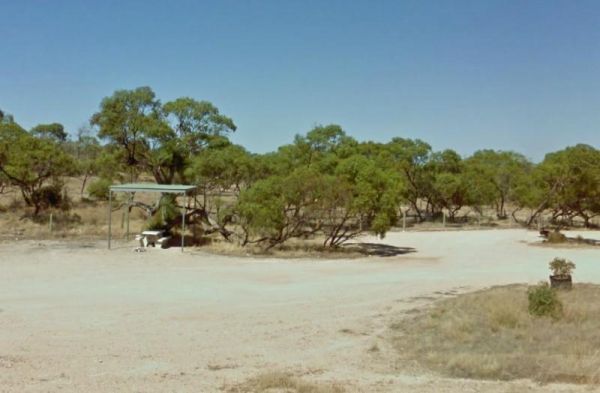
The Forestry Information Stop is set back a short distance from the Riddoch Highway along the Bookers Lane and amongst some large trees that offer plenty of shade. Entrance to the Forestry Information Stop Forestry Information Stop location map
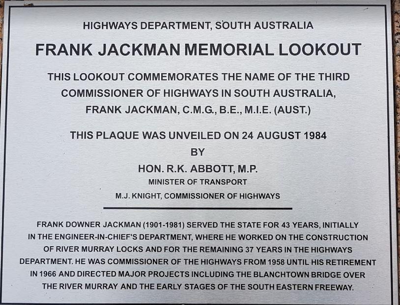
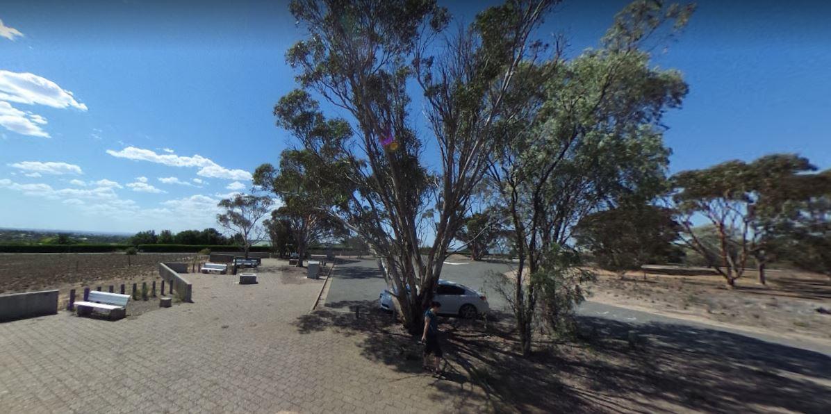
Frank Jackman Memorial Lookout is located on an asphalt circular drive, with a few trees, picnic tables and rubbish bins along its length. Entranced to the Frank Jackman Memorial Lookout Frank Jackman Memorial Lookout location map
Freds Landing Rest Area
The Freds Landing Rest Area is nestled between the Murray River and the Princes Highway. There is plenty of room to park your caravan, there are not many shade trees to park under, but there is a public toilet, picnic tables, and rubbish bins, and those i ...
The Geranium Rest Area is just off the Mallee Highway, with limited shade, a picnic table under some trees for shade and a rubbish bin. There is plenty of room to park your caravan here. The nearest public toilets are located at the town oval. Entrance t ...
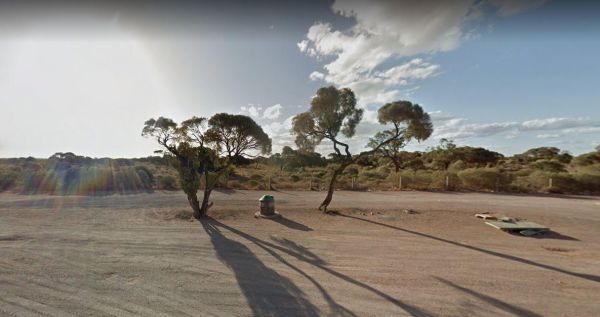
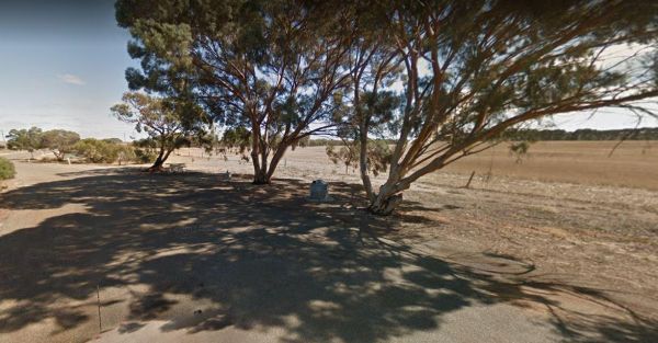
Gilles Downs Rest Area
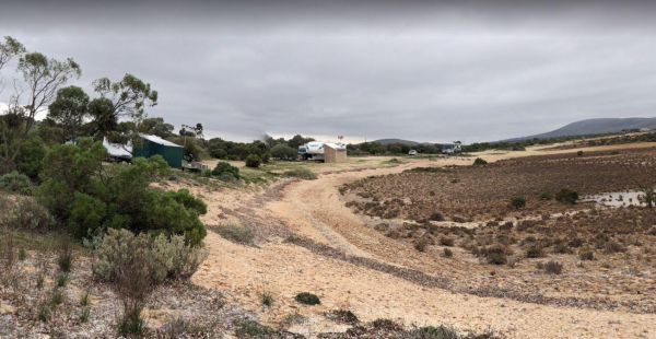
The Gilles Downs Rest Area 1 is located on the verge of the Eyre Highway. Here there is plenty of room to park your caravan on the gravel surface. There are some picnic tables and rubbish bins along this res area. Entrance to the Gilles Downs Rest Area 1 ...
The Rest Area Stuart Highway South Bound is a rest spot in the middle of nowhere. There is an undercover picnic table and rubbish bins. bins. There's not a lot to do here, but you will get lovely sunsets. Entrance to the Glendambo Rest Area South Bound ...
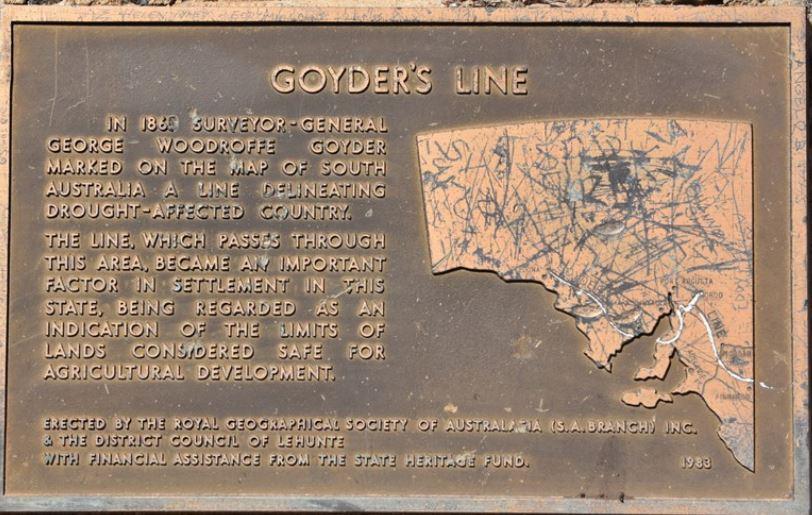
The Goyder's Line Memorial Rest Area, has a memorial to George Woodgroff Goyder. He marked a line on the South Australian map in 1865, which sets what is regarded as the limits of what was considered safe for agricultural development. Entrance to the Goy ...

The Greenrise Lake Rest Area, water in the lake is dependent on drought conditions, and it can remain dry for years at a time, so fishing is not really an option here. Entrance to the Greenrise Lake Rest Area Greenrise Lake Rest Area location map
Half Way Rest Area Permanently Closed
The Half Way Rest Area Entrance to the Half Way Rest Area Half Way Rest Area location map
The Halidon Rest Area is a gravel area with some shade, picnic tables and rubbish bins. The rest are is set back a short distance from the Karoonda Highway. Entrance to the Halidon Rest Area Halidon Rest Area location map