Garry
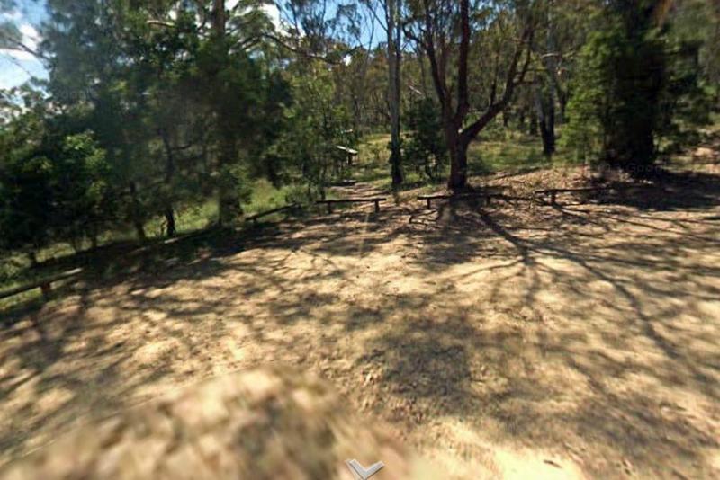
Entrance to the Ourimbah Exit Rest Area Ourimbah Exit Rest Area location map
 ,
,  ,
,  ,
, 
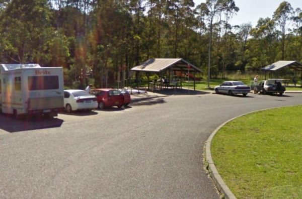
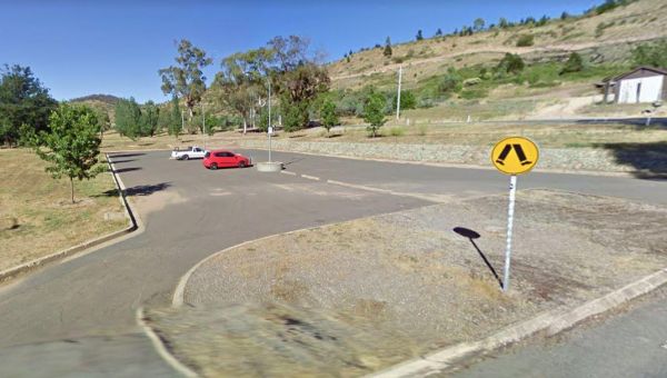
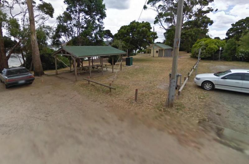
The Ouyen Park has a few picnic tables, and some shade so you can enjoy a break from driving. Entrance to the Ouyen Park Ouyen Park location map
,
Ovens River Frosts Camping Area
The Ovens River Frosts Camping Area has a few camping spots along the Boundary Creek for you to camp at. You have a chance to catch lunch if your into fishing. Ovens River Frosts Camping Area
Overlander Rest Area
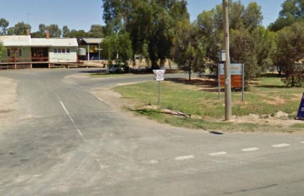
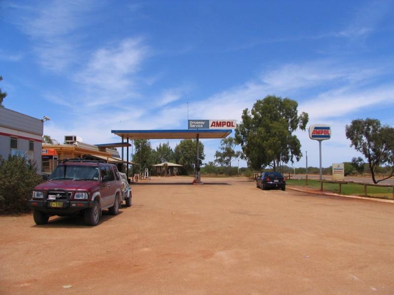
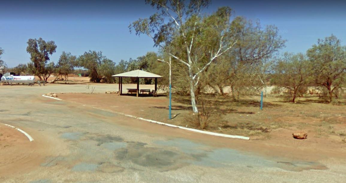
The Overlander Rest Area is Adjacent the Road House so you can get a bite to eat and fuel for your next destination. There is also undercover picnic tables and some rubbish bins here also. Entrance to the Overlander Rest Area Overlander Rest Area loca ...
Overshot Hill Nature Reserve - PERMANENTLY CLOSED
The Overshot Hill Nature Reserve has a 24 Hour Limit for stopovers. There are some rubbish bins and picnic tables, with plenty of shady spots to choose from. REST AREA NOW CLOSED Entrance to the Overshot Hill Nature Reserve Overshot Hill Nature Res ...
 ,
,  , ,
, ,
Oxley's Crossing Rest Area
Entrance to the Oxley's Crossing Rest Area Oxley's Crossing Rest Area location map
,
Paddy's Rest Area
Entrance to the Paddy's Rest Area Paddy's Rest Area location map
, ,
Entrance to the Paddys River Falls Camping Area Paddys River Falls Camping Area location map
Paddys River Rest Area
The Paddys River Rest Area is a large asphalt area with no shade but there is room to park your camper here to take a break from driving. When your here you might as well get out of your vehicle and stretch your legs, and take a short walk around the car ...
,  ,
,  ,
,  ,
,
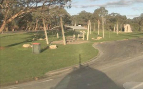
The Padthaway North Rest Area is a gravel road that runs parallel to the Riddoch Highway. There are low trees for shade, and undercover picnic tables, plus some rubbish bins located here. and most of this rest area, is quite flat to park on. Entrance to ...
,
The Padthaway Park Rest Area has quite a bit of room to park. There is a public toilet, some rubbish bins, and a children's playground. You can also drop into the Padthaway General Store for some supplies, and even grab some fuel before continuing on your ...
, , ,
Painters Island Caravan Park
Entrance to the Painters Island Caravan Park Painters Island Caravan Park location map
, , ,  ,
,  ,
,  , ,
, ,  ,
,  ,
,  ,
, 
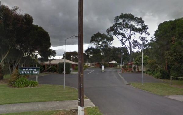
Entrance to the Pakenham Caravan Park Pakenham Caravan Park location map

The Palm Beach Creek Rest Area has a few trees for shade, and a reasonable amount of space to park your caravan. There are public toilets, and a few undercover picnic tables and rubbish bins. Entrance to the Palm Beach Creek Rest Area Palm Beach Creek ...
, ,

The Palm Cove Foreshore Reserve Camping Area is next to the beach with views of Double Island. Small dogs are allowed at managers discretion in low season only Entrance to the Palm Cove Foreshore Reserve Camping Area Palm Cove Foreshore Reserve Campin ...
,  , ,
, ,  , , , ,
  ,
,
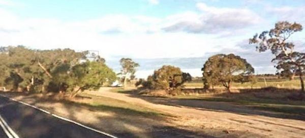
Palm Springs Rest Area
The Palm Springs Rest Area is off Duncan Road, and on the banks of the Black Elvire River for those who like fishing. Palm Springs Rest Area location map
, ,
Pamamaroo Lake Camping Area Burke and Wills location map

Paper Beach Reserve Rest Area
The Paper Beach Reserve Rest Area Entrance to the Paper Beach Reserve Rest Area Paper Beach Reserve Rest Area location map
, , , ,
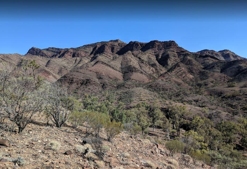
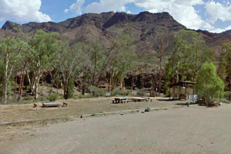
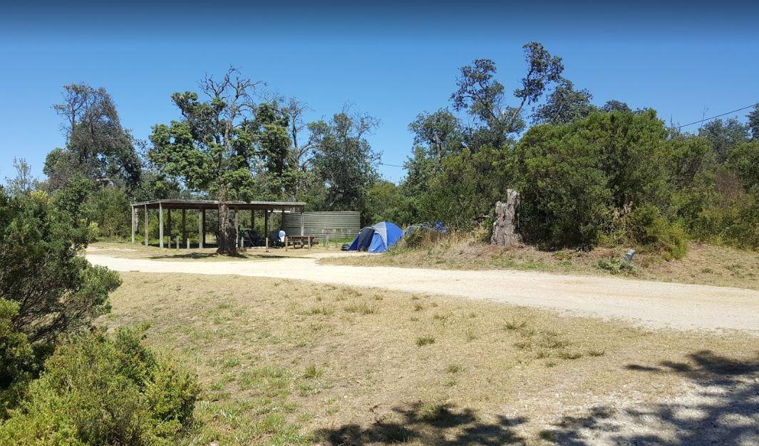
Parachilna Gorge Camping Area
The Parachilna Gorge Camping Area is a gravel area with some rubbish bins and picnic tables. You will get a chance to use your camera here, or maybe check out the walking tracks. Entrance to the Parachilna Gorge Camping Area Parachilna Gorge Camping A ...
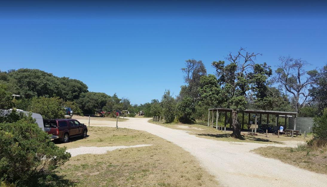
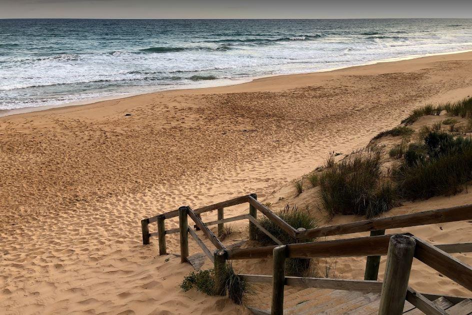
Paradise Beach Camping Area
The Paradise Beach Camping Area is a nice campground next to the open ocean beach, with good facilities. The ground can be hard to hammer in tent pegs in some spots, and a little uneven in others.Mosquitoes can be a problem in the warmer months, so take r ...
, ,
Page 78 of 111