Garry
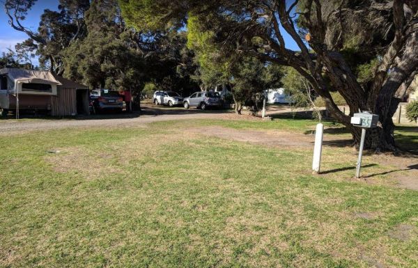
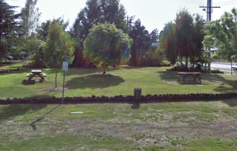
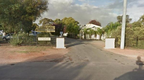
Queenscliff Victoria Park
Entrance to the Queenscliff Victoria Park Queenscliff Victoria Park location map
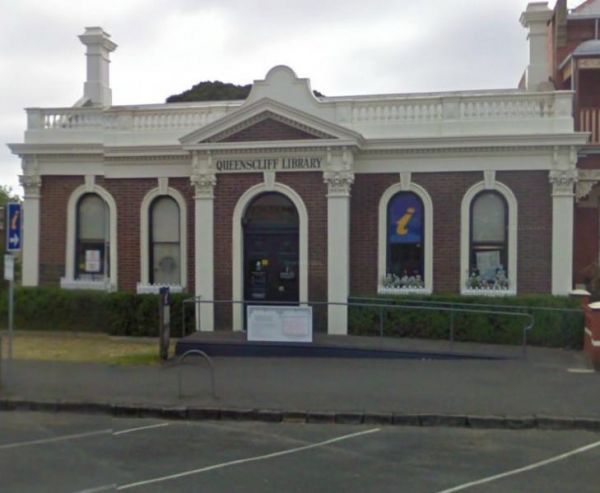
Queenscliff Visitor Information Centre
The Queenscliff Visitor Information Centre has ample parking out front, with the staff very knowledgeable of the what events are happening in the area. Well worth you time to visit. Entrance to the Queenscliff Visitor Information Centre Queenscliff Vi ...
Quicks Beach Camping Area with a nice sandy beach, is not a bad spot to free camp, but it gets pretty busy during holidays.Note: Low clearance caravans may have difficulty crossing the small spillway Entrance to the Quicks Beach Camping Area Quicks Beac ...
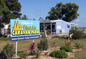
The RAC Cervantes Holiday Park offer discounts to RACV Members. The caravan park has a fully-equipped camp kitchen a shell museum, Coffee shop and walking distance to the beach. Entrance to the RAC Cervantes Holiday Park RAC Cervantes Holiday Park loc ...
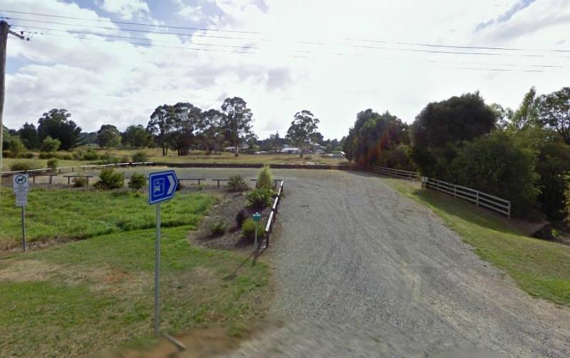
The Railton Motorhome Stop has a 96 Hour Limit for self contained motorhomes and campers. There are some picnic tables and rubbish bins next to the camp area.Take a short walk to the main street in town. It's only a short walk to the center of town, so wa ...
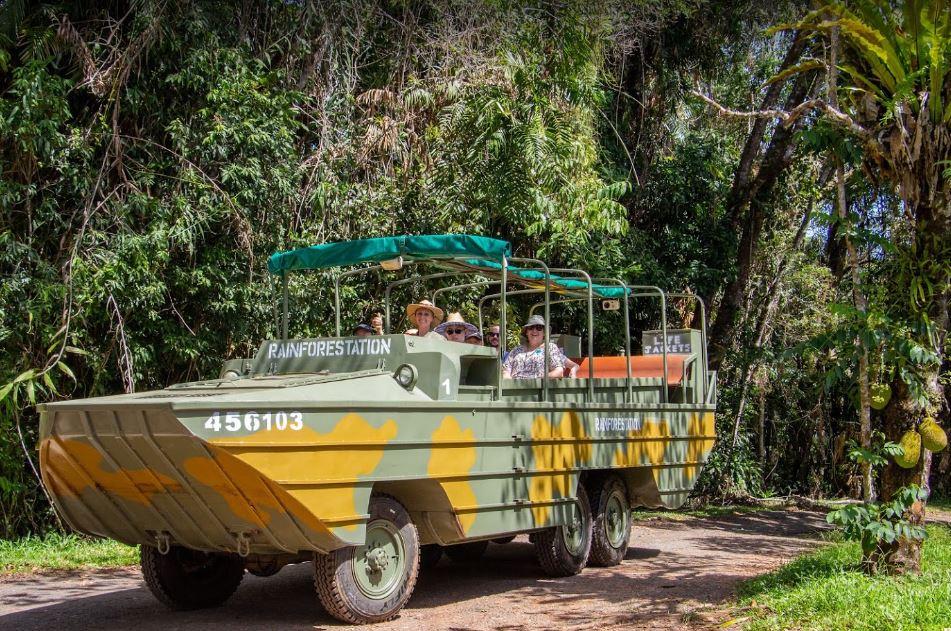
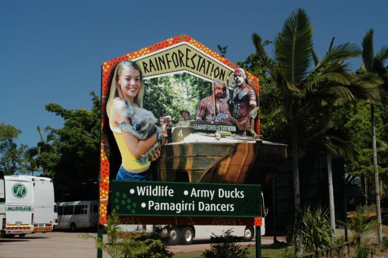
The Rainforestation Nature Park is well laid out and quite an amazing place to visit. Entrance to the Rainforestation Nature Park Rainforestation Nature Park location map
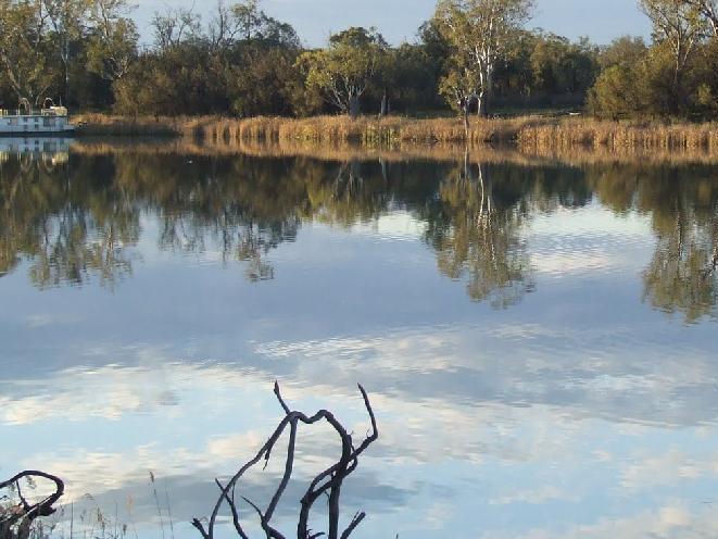
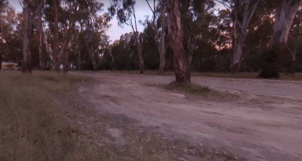
The Ramco Point Camping Area Entrance to the Ramco Point Camping Area Ramco Point Camping Area location map
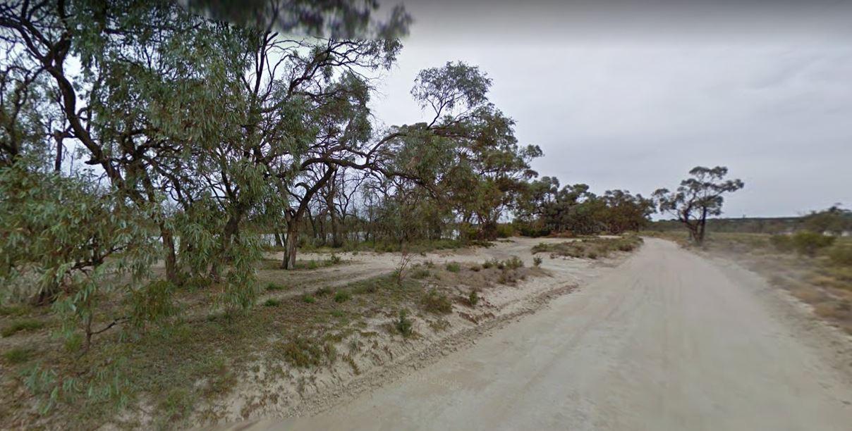
Entrance to the Ramornie Rest Area Ramornie Rest Area location map
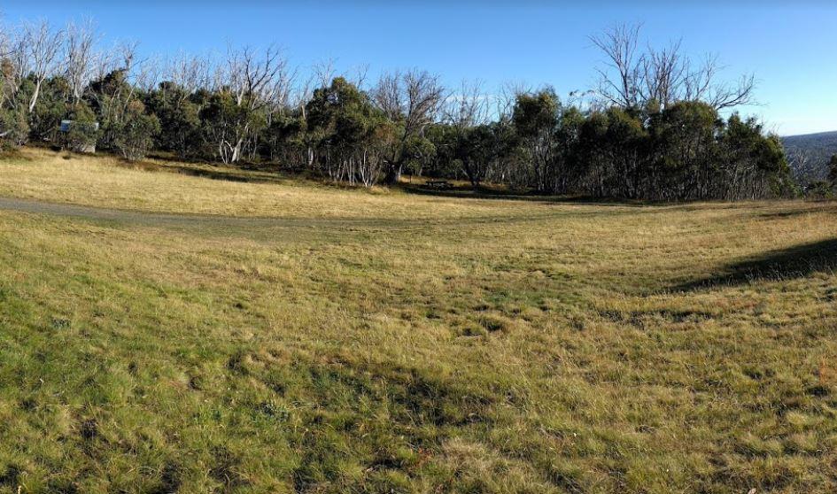
Ranges View Rest Area
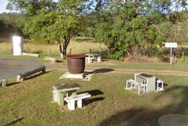
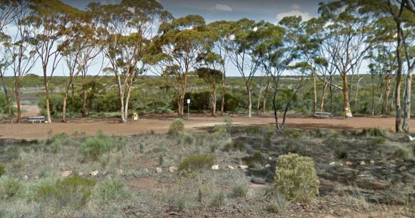
The Ranges View Rest Area is a Large dusty open flat area, just off the Stuart Highway with an undercover picnic table and a few rubbish bins. and an information wall which is also under cover. Entrance to the Ranges View Rest Area Ranges View Rest Ar ...

Raspberry Hill Campsite & Toilet, for your own safety ALWAYS check first with Parks Vic, before heading into the High Country, many of the roads are closed during winter, and you could get stranded. Raspberry Hill Campsite & Toilet location map ...
Raspberry Lookout Gibraltar Range National Park Rest Ar...
Raspberry Lookout Gibraltar Range National Park Rest Area location map
Ravensthorpe East Rest Area
The Ravensthorpe East Rest Area has a few trees for shade, picnic tables and rubbish bins. The gravel road surface is reasonably level, if you need an overnighter. Entrance to the Ravensthorpe East Rest Area Ravensthorpe East Rest Area location map
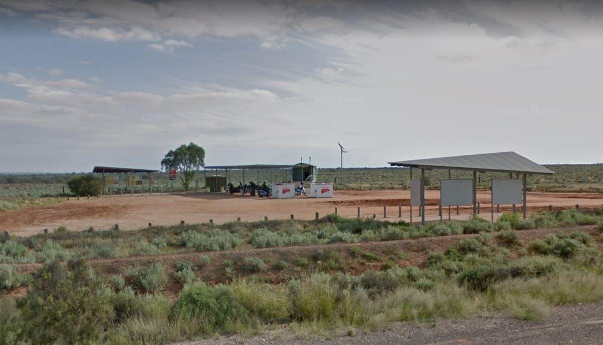
Ravenswood Rest Area - Northbound Truck Stop
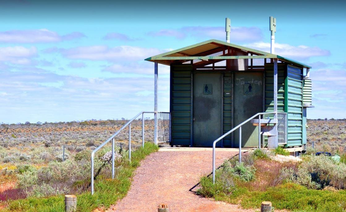
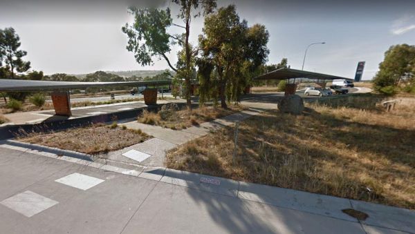
At the Ravenswood Rest Area Northbound Truck Stop, you can fill up with fuel, and buy some food, or simply take a break from driving and use the Public Toilets. Entrance to the Ravenswood Rest Area - Northbound Truck Stop Ravenswood Rest Area - Northb ...
The Red Banks Rest Area is down a bumpy dirt road, with parking for around 6 caravans, but the cliffs have been deemed unstable, so I'm not sure if camping is allowed anymore. Entrance to the Redbanks Rest Area Red Banks Rest Area location map
Red Cliffs Caravan Park
Entrance to the Red Cliffs Caravan Park Red Cliffs Caravan Park location map
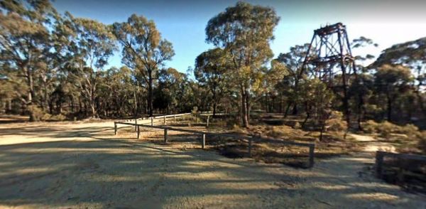
Red White and Blue Mine Camping Area has Quartz Reef mining was conducted in the area, and you can see remnants of it close to this spot. Red, White & Blue Mine Camping Area 360 Red, White & Blue Mine Camping Area location map
Entrance to the RedBank Rest Area RedBank Rest Area location map
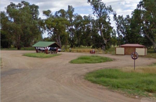
Reddas Park Camping Area is a large gravel area with many free campsites, if you want to use power, there is a small fee to pay. The Hotel at the corner of Swann and Dixon Street is where you pay for powered sites. Entrance to the Reddas Park Camping Are ...
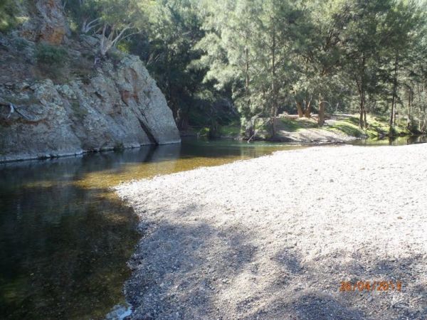
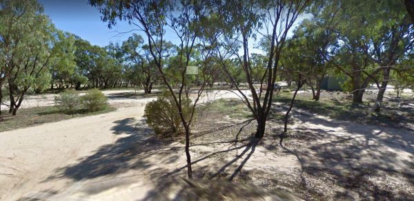
The Reedy Creek Camping Area is a basic bush camp. P.S. Grab your Miners licence and have a go at panning in the creek. I personally have found quite a few specks of gold along this old alluvial mining area. Reedy Creek Camping Area location map
Page 84 of 111