Garry
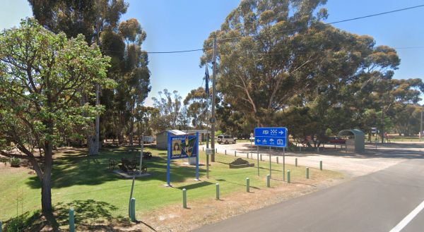
Murrayville Park Rest Area
The Murrayville Park Rest Area has a public toilet, and picnic tables and there is a Children's Playground and Hotel directly across the road. Entrance to the Murrayville Park Rest Area Murrayville Park R locationmapest Area
Murrungower Rest Area
The Murrungower Rest Area has had a major upgrade with asphalt being laid with plenty of room to park all sized rigs. There is still a toilet block, picnic tables and a few fireplaces available. Entrance to the Murrungower Rest Area Murrungower Rest A ...

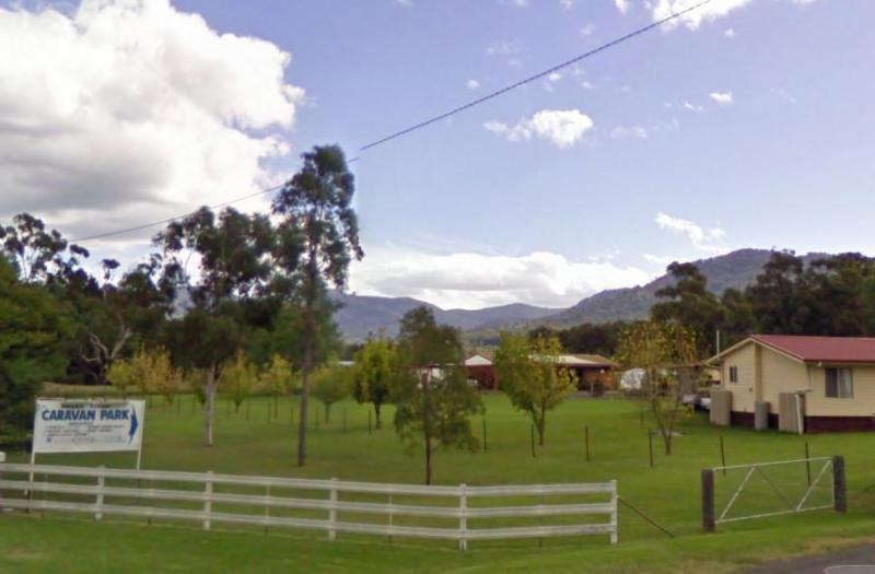
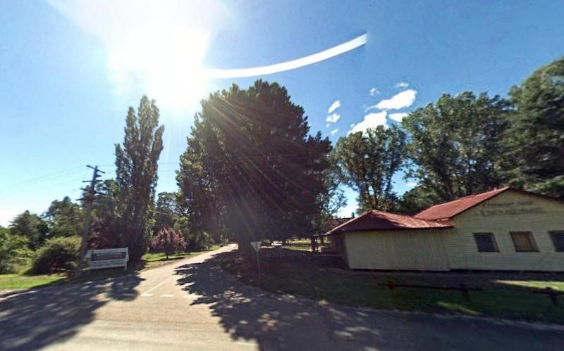
Murrurundi Caravan Park
Entrance to the Murrurundi Caravan Park Murrurundi Caravan Park location map
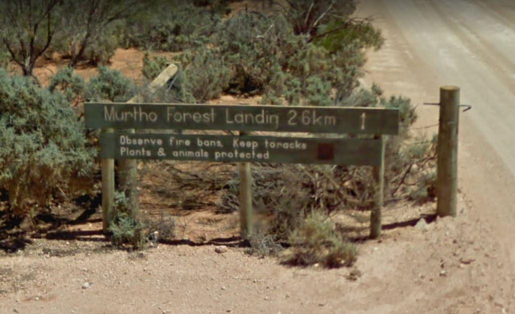
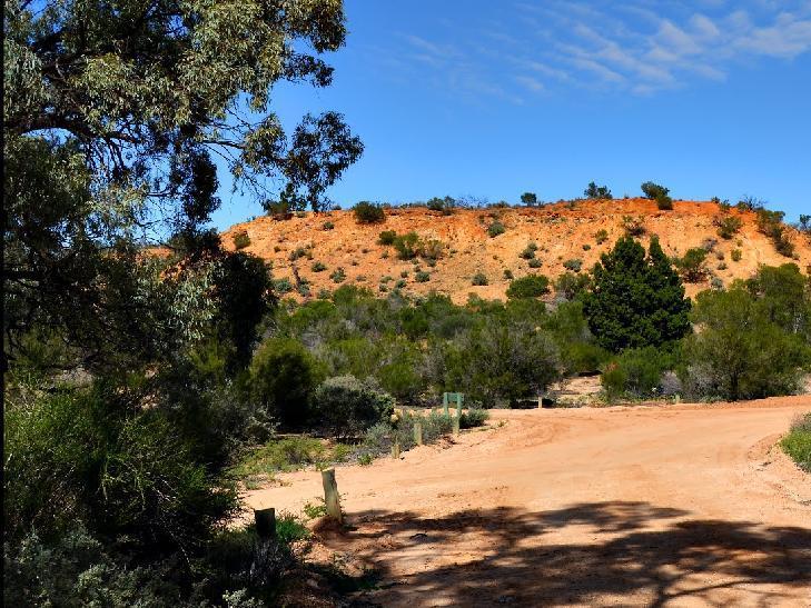
The Murtho Forest Landing Campground has quite a few camping spots very close to the Murray River. Grab your fishing line and see how you go, or drop your kayak in the water for a short exploration paddle. Entrance to the Murtho Forest Landing Campground ...
Musselroe Bay Camping Area
The Musselroe Bay Camping Area is a rough bush camp so to speak. You bring all the necessities of life and take your rubbish with you when you leave. Walk over the sand dunes and throw a line out and catch dinner if you can, or take the dog for a walk al ...
Myall Creek Rest Area
Entrance to the Myall Creek Rest Area Myall Creek Rest Area location map
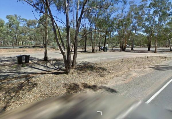
Myers Flat Rest Area
Myers Flat Rest Area has lots of room to park and plenty of picnic tables and a few fireplaces to cook a meal on, all in a nicely shaded area. Entrance to the Myers Flat Rest Area Myers Flat Rest Area location map
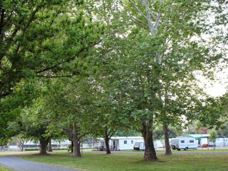
Myrtleford Holiday Park
Entrance to the Myrtleford Holiday Park Myrtleford Holiday Park location map
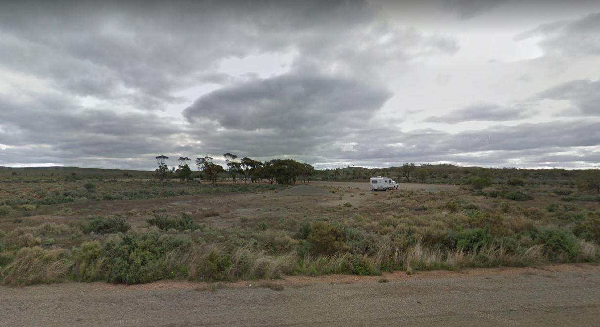
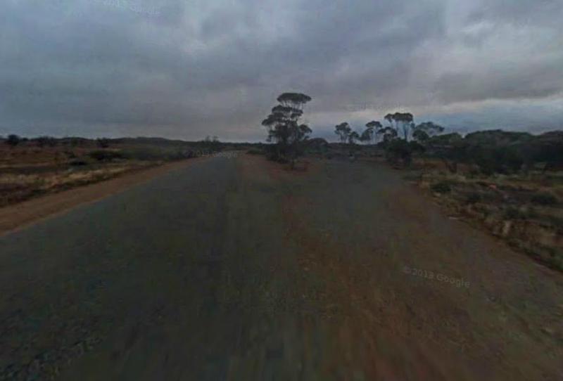
The Nackara East Rest Area is back a fair distance from the Barrier Highway, with a few trees for shade. Entrance to the Nackara East Rest Area Nackara East Rest Area location map
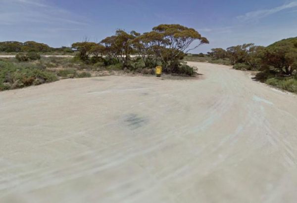
The Najada Rockhole Rest Area is a reasonably level gravel parking area, with limited shade and some rubbish bins. Entrance to the Najada Rockhole Rest Area Najada Rockhole Rest Area location map
Nalinga Rest Area
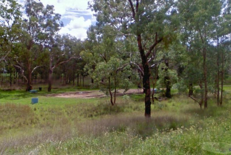
Nalinga Rest Area is a large gravel area with plenty of parking. There is an undercover picnic tables area with rubbish bins. It's OK for a break from driving and sitting in the shade for a few minutes. The Broken River runs quite close to this rest area, ...
Namadgi National Park Visitor Centre
Namadgi National Park Visitor Centre location map
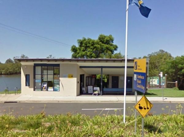
Nambucca Valley Visitor Information Centre
Entrance to the Nambucca Valley Visitor Information Centre Nambucca Valley Visitor Information Centre location map
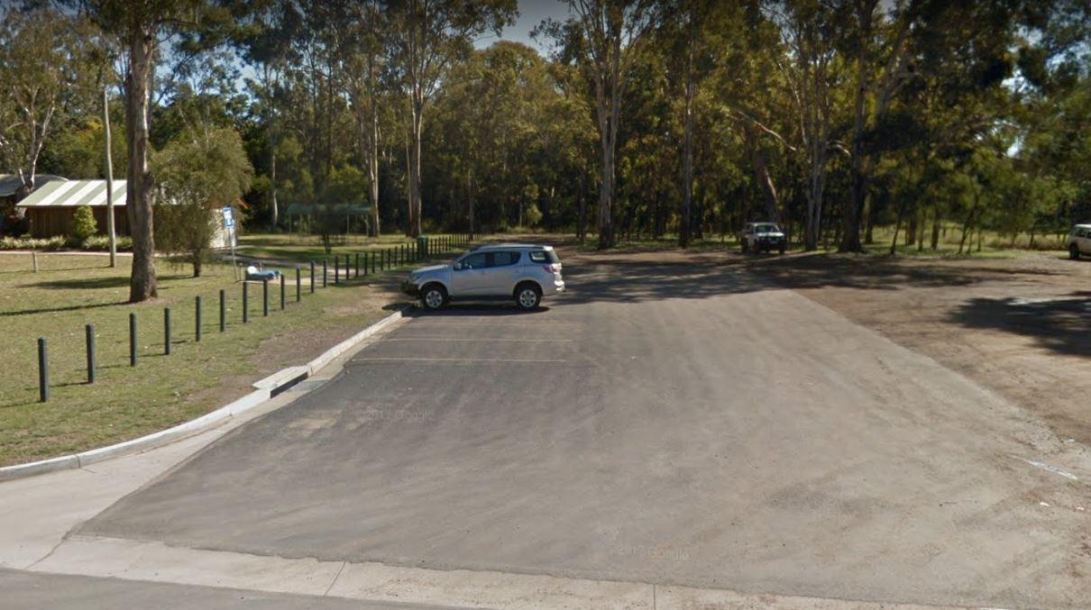
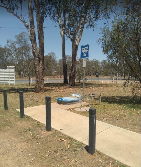
The Nanango Dump Point Entrance to the Nanango Dump Point Nanango Dump Point location map
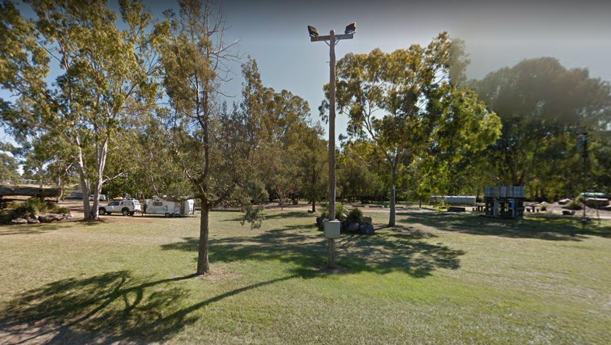
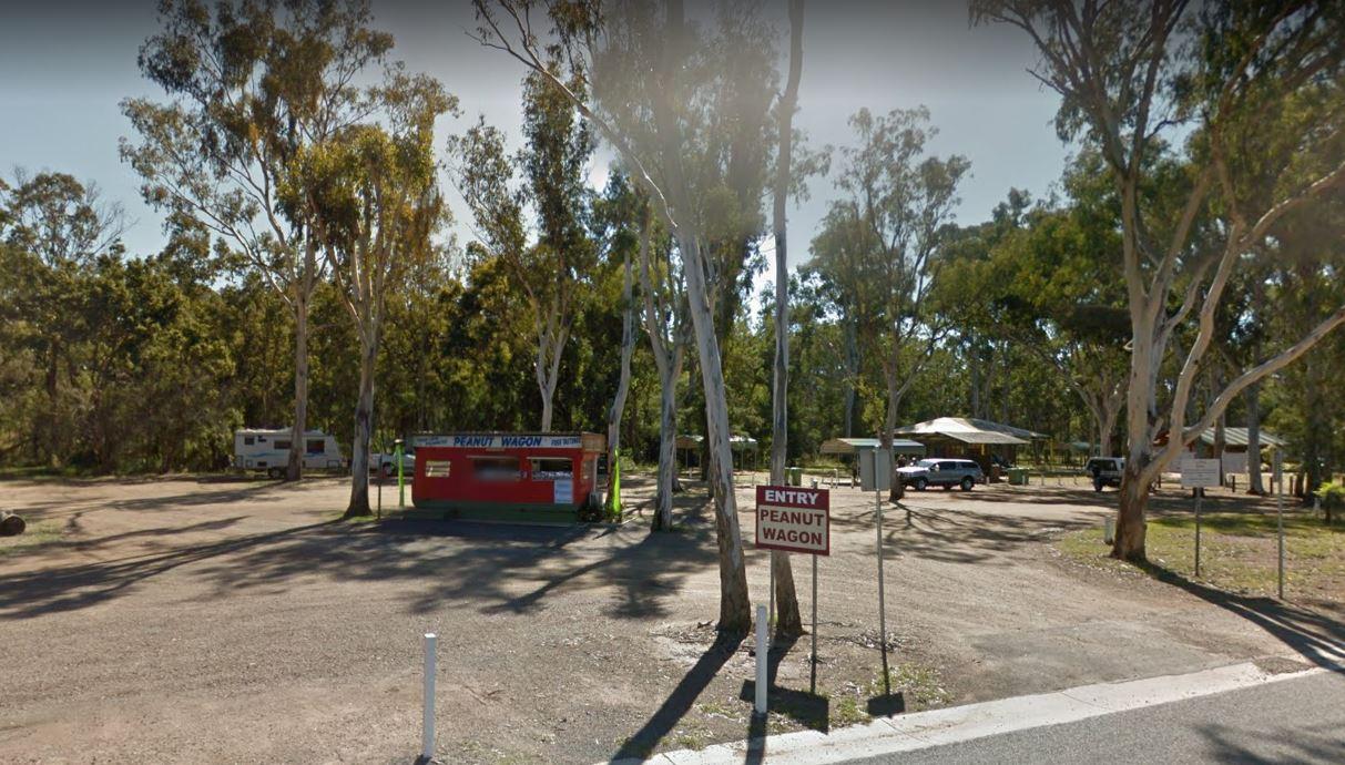
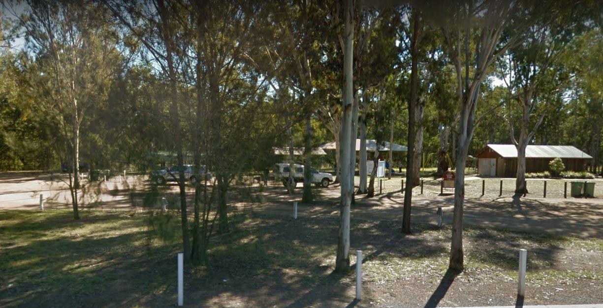
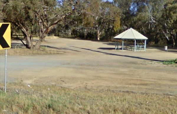
The Nanango Tipperary Flat Rest Area is nice and level with a 20 Hour Limit for stopovers. There are shady gum trees to park under, a public toilet, and picnic tables, some bbq fireplaces, and rubbish bins. The peanut wagon is also stationed here, they al ...
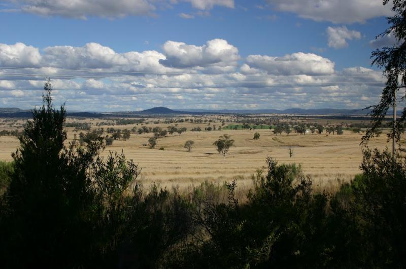
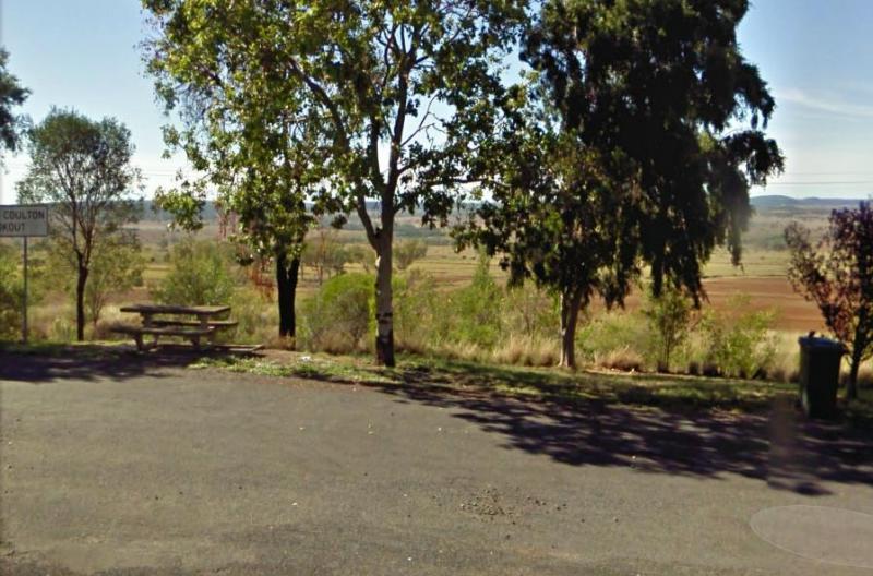
Entrance to the Nancy Coulton Lookout Rest Area Nancy Coulton Lookout Rest Area location map
The Nannup Visitor Information Centre is a good source of tourist information for the Nannup region. Entrance to the Nannup Visitor Information Centre Nannup Visitor Information Centre location map
Nariel Creek Recreation Reserve Camping Area
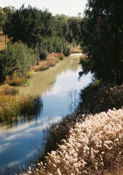
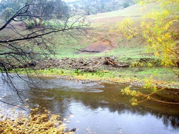
The Nariel Creek Recreation Reserve Camping Area is a large open grassed are with plenty of places to camp for the night. The Corryong Creek runs alongside this campground. Please note: The Nariel Creek Reserve was established as the site for the Nariel C ...
Naringal East Rest Area
The Naringal East Rest Area is set back a short distance from the main road. Here you will get a bit of shade from the trees, and a place to rest a bit. Entrance to the Naringal East Rest Area Naringal East Rest Area location map
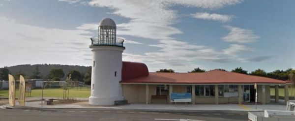
Entrance to the Narooma Visitors Centre Narooma Visitors Centre location map
Page 72 of 111