Garry
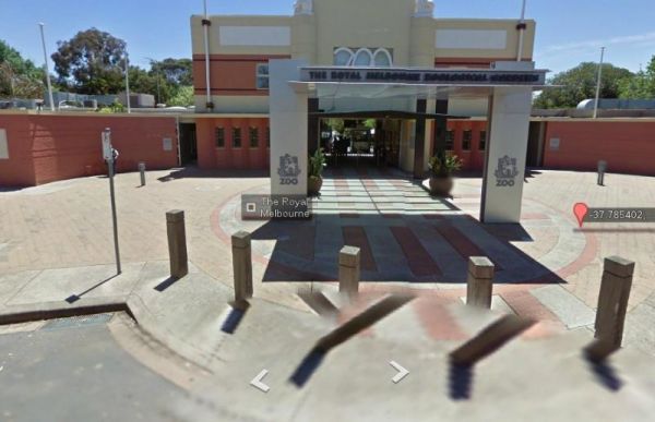
Entrance to the Melbourne Zoo Melbourne Zoo location map
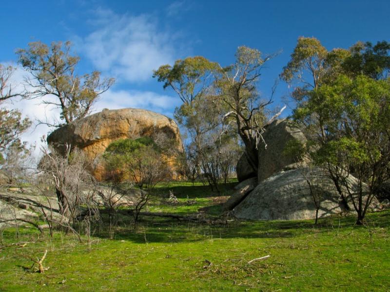
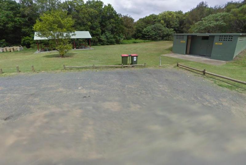
The Melville Caves Camping Area, is a wonderful large gravel campsite, with it's natural surroundings and new toilet block. There are walking tracks to the Captain Melville caves from the campsite, or you can drive up and you will only need to walk approx ...
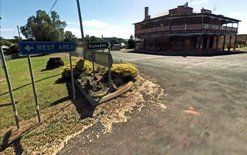
Entrance to the Mendooran Free Camp48 Hour Limit Mendooran Free Camp 48 Hour Limit location map
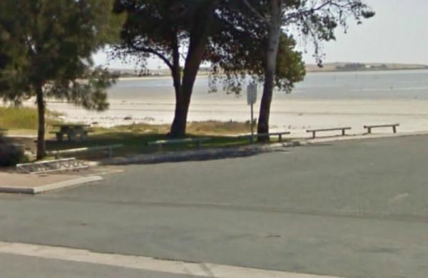
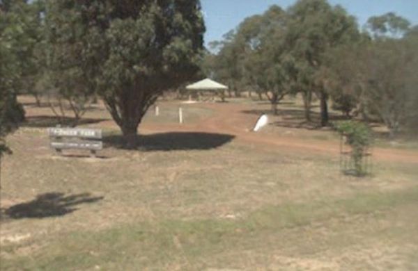
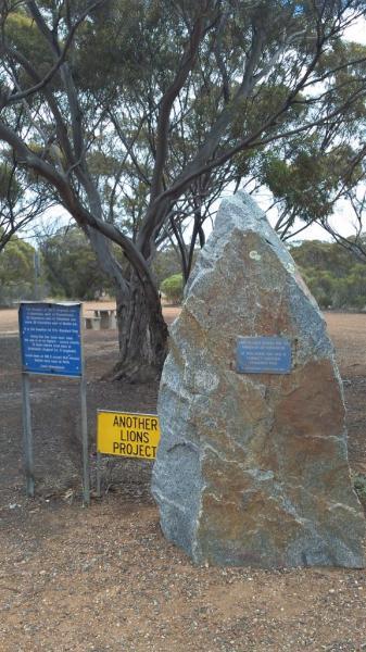
The Meningie Lions Jubilee Park has some shops within walking distance from here. You can try some beach fishing or from the small jetty at high tide. Or simply take a nice walk along the sandy shoreline. Entrance to the Meningie Lions Jubilee Park Me ...
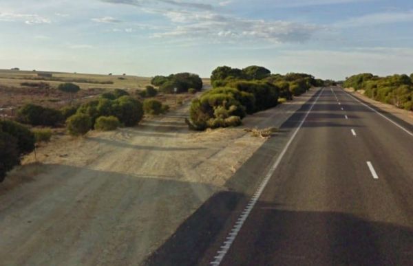
The Meningie South Rest Area just off the Princes Highway and very easy to miss, I personally would think twice before commiting my van down this rest area track, it seems like it is seldom used. Entrance to the Meningie South Rest Area Meningie South ...
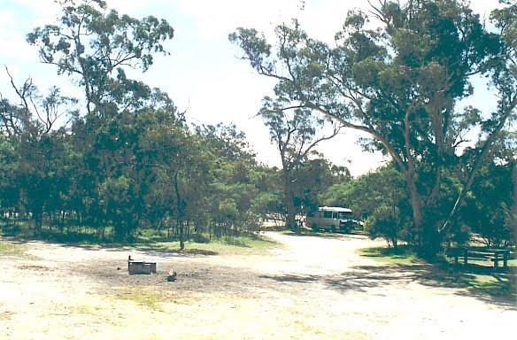
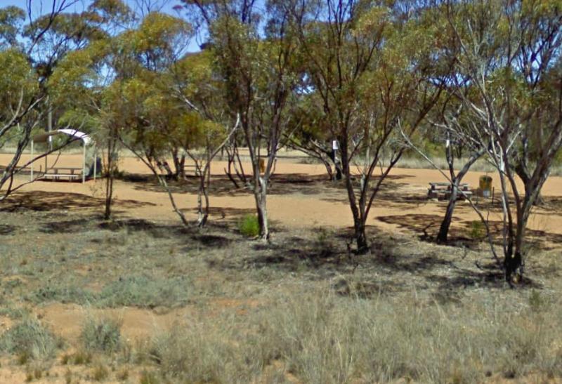
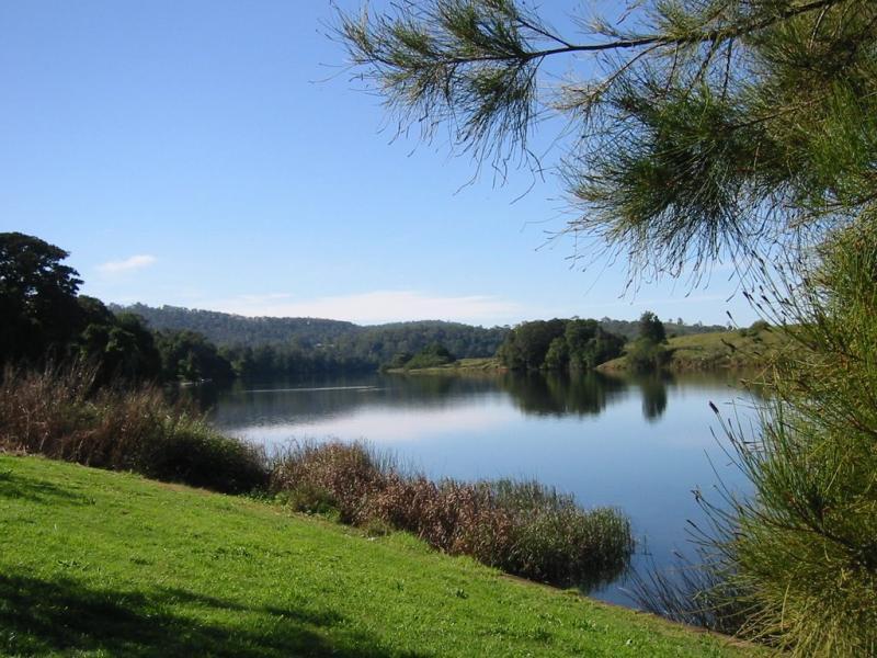
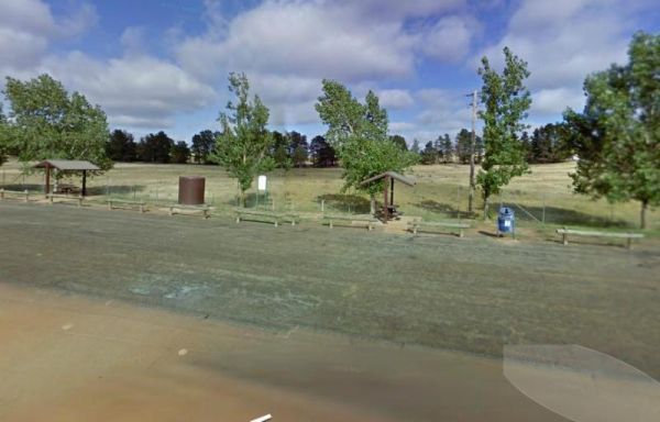
The Meredith Rest Area is a large gravel area with plenty of parking available. There is a toilet block a BBQ, undercover seating and room to stretch your legs. Meredith Rest Area 360 Entrance to the Meredith Rest Area Meredith Rest Area location m ...
Meridian Rest Area
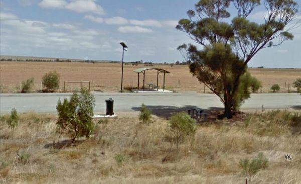
The Meridian Rest Area is just off the South Coast Highway, with some trees for shade. The ground is reasonably level, with an undercover picnic table and some rubbish bins, so it's not a bad place to take a break from driving and have a bite to eat. Ent ...
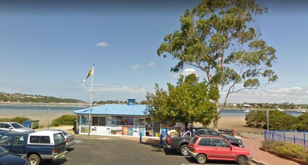
Entrance to the Merimbula Visitor Information Centre Merimbula Visitor Information Centre location map
The Merrinee North Reset Area is on the edge of the Sturt Highway with plenty of room to park. There are a few trees for shade, and a picnic table and rubbish bin onsite. Entrance to the Merrinee North Reset Area Merrinee North Reset Area location map ...
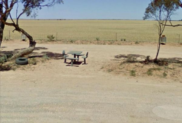
The Merriton North Rest Area runs alongside the Augusta Highway for quite some distance, with plenty of room for all sized rigs. There are rubbish bins and undercover picnic tables, and a bit of shade, and being close to a main highway some traffic noise. ...
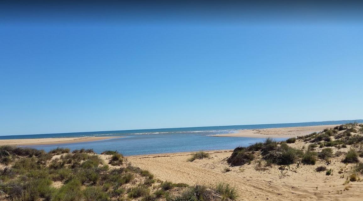
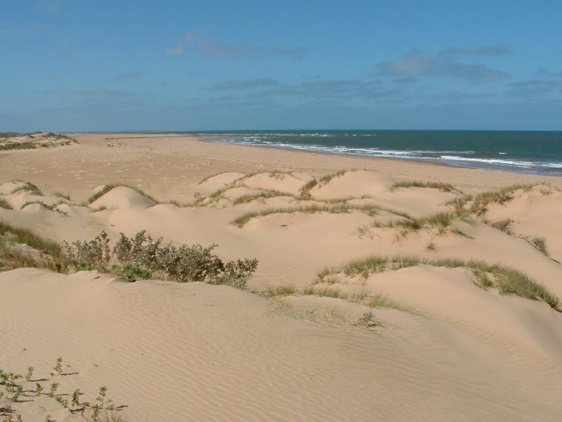
The Miaboolya Beach Rest Area is popular amongst the locals and tourists for recreational fishing, crabbing, and swimming. You will need to be self sufficient if you decide to stop here.Just a quick note, the fisheries inspectors have been known to freque ...
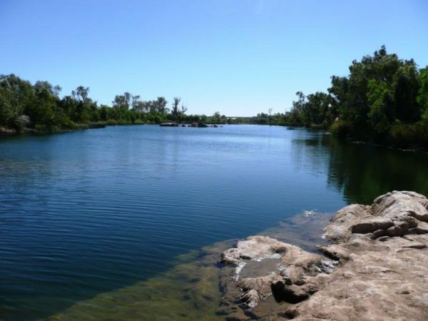
The Miaree Pool Rest Area is a short drive down a dirt road to the Nullagine River, where there is a fireplace BBQ and undercover picnic tables. Entrance to the Miaree Pool Rest Area Miaree Pool Rest Area location map
Entrance to the Mick Tuck Riverside Reserve 24 Hour Limit Mick Tuck Riverside Reserve 24 Hour Limit location map
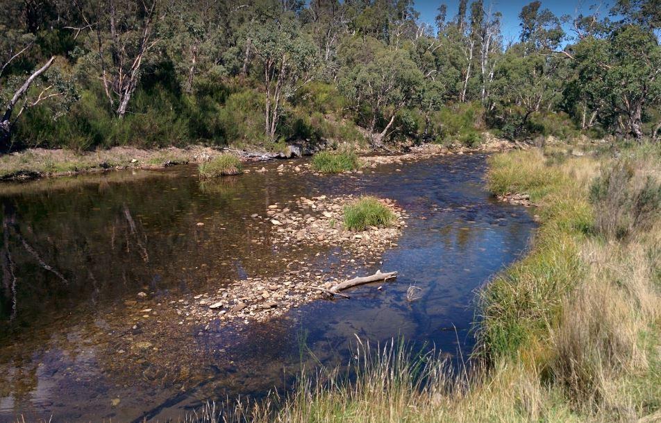
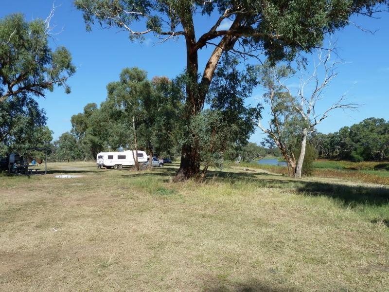
The Middle Creek Camping Area is fairly close to the Omeo Highway. From here you can take a stroll along the Cave Walking Track, but be warned, it's rather steep. Entrance to the Middle Creek Camping Area Middle Creek Camping Area location map
Entrance to the Middleton VC Rest Area Middleton VC Rest Area location map
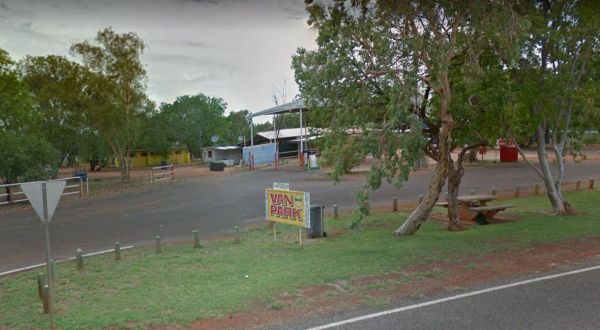
Entrance to the Midland Caravan Park Midland Caravan Park location map
Entrance to the Mildura - All Seasons Holiday Park Mildura - All Seasons Holiday Park location map
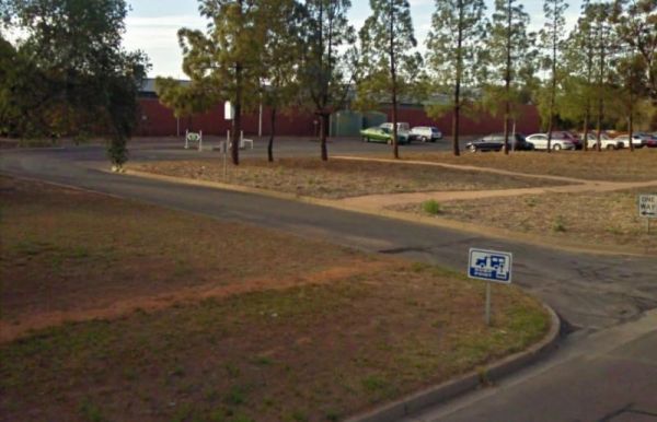
Entrance to the Mildura - Free Dump Point Mildura - Free Dump Point location map
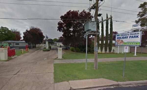
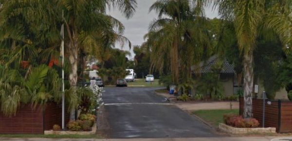
Entrance to the Mildura Deakin Holiday Park BIG4 Mildura Deakin Holiday Park BIG4 location map
Page 66 of 111