Garry
Maslin Rest Area
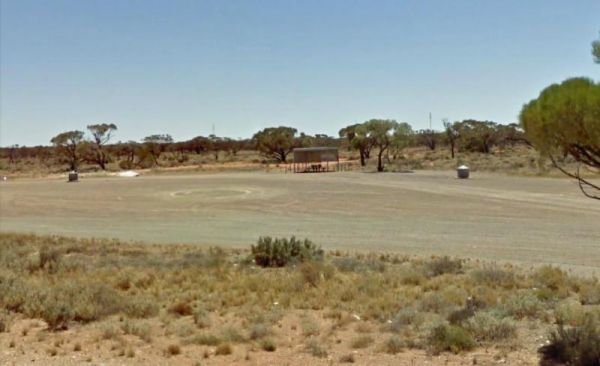
The Maslin Rest Area is a Large dusty open flat area, just off the Stuart Highway with an undercover picnic table and a few rubbish bins. shade is almost no existent. Entrance to the Maslin Rest Area Maslin Rest Area location map
Mathesons Bore Rest Area
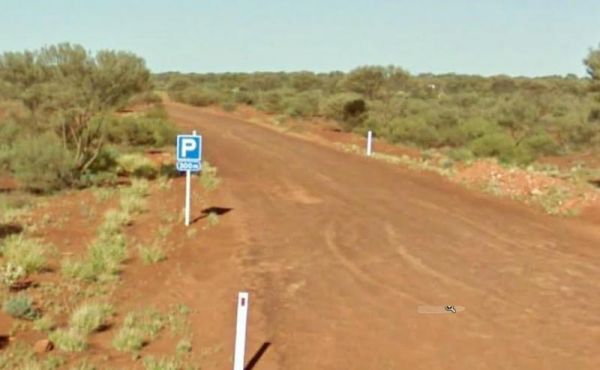
The Mathesons Bore Rest Area is on a gravel track 300 metres from the Stuart Highway, there's not a lot to do here but it is a popular rest stop nonetheless. Entrance to the Mathesons Bore Rest Area Mathesons Bore Rest Area location map
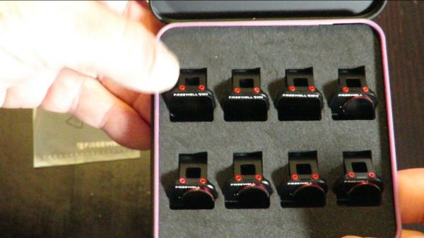
Mavic Mini Freewell ND Filters Review, and flight footage. My YouTube Mavic Mini Freewell ND Filters Review above.These Freewell filters all fit perfectly snug on the Mavic Mini, and won't fall off the gimbal in flight. Both the ND4 and ND8 (Neutral Dens ...
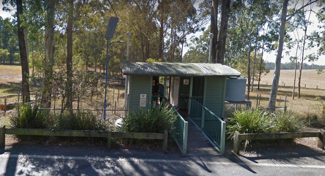
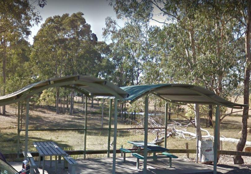
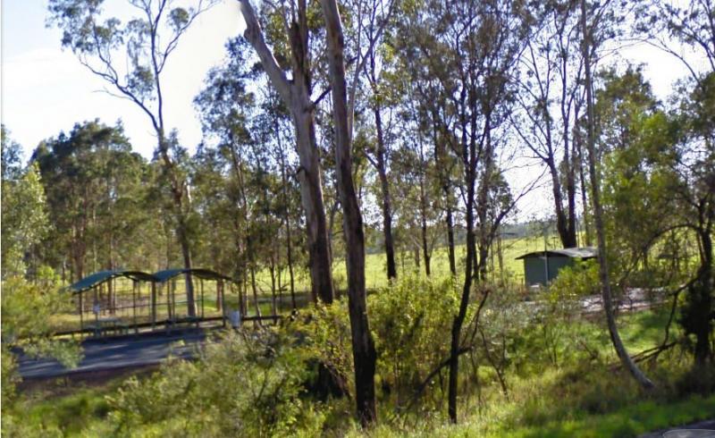
The Maxwelton Rest Area has an imposed 20 Hour Limit for stopovers. There are undercover picnic tables rubbish bins, a public toilet and plenty of room to park your caravan. Entrance to the Maxwelton Rest Area Maxwelton Rest Area location map
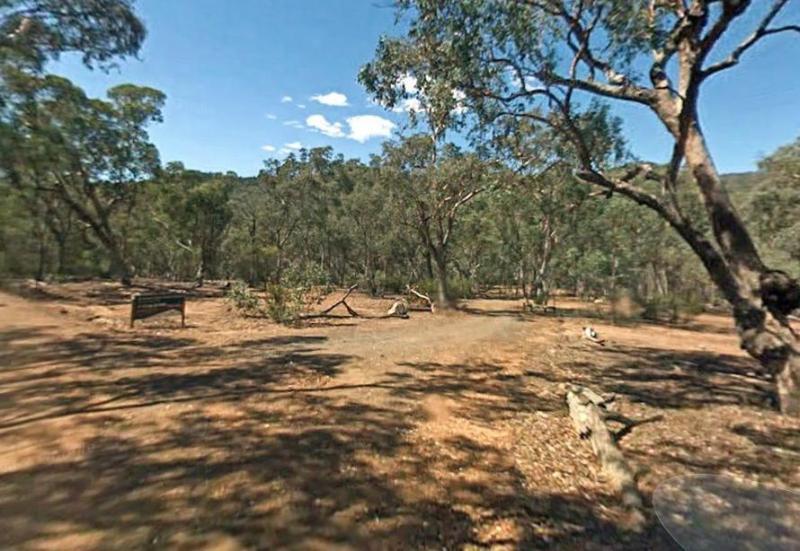
The McClelland Camping Area is with best accessed with 4x4's and vehicle based tent camping, you will need to bring everything you need and take your rubbish with you, water is available from the Big River, but make sure you treat it first before drinking ...
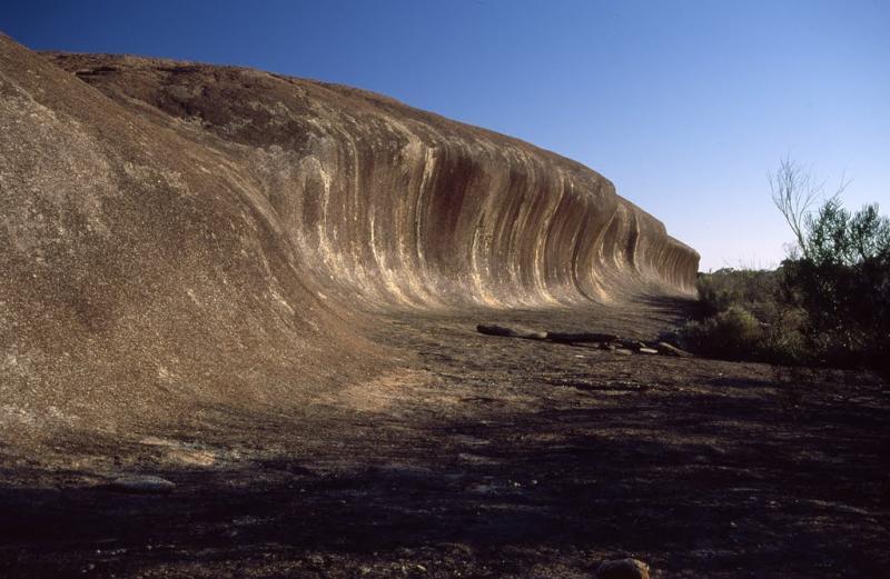
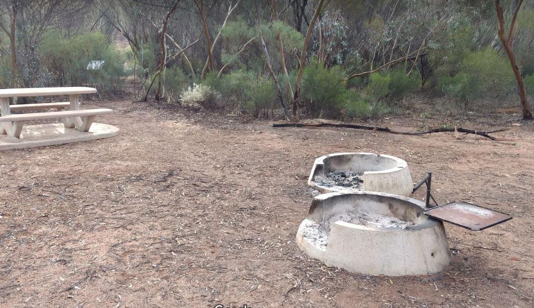
The McDermid Rock Camping Area is a fairly quiet place to camp. There are fairly flat areas to park your caravan, some picnic tables and fixed fire places. Be sure to take a stroll up the rock, and take your camera with you. At the base of McDermid Rock y ...
McDonalds Hole Road Rest Area
Entrance to the McDonalds Hole Road Rest Area McDonalds Hole Road Rest Area location map
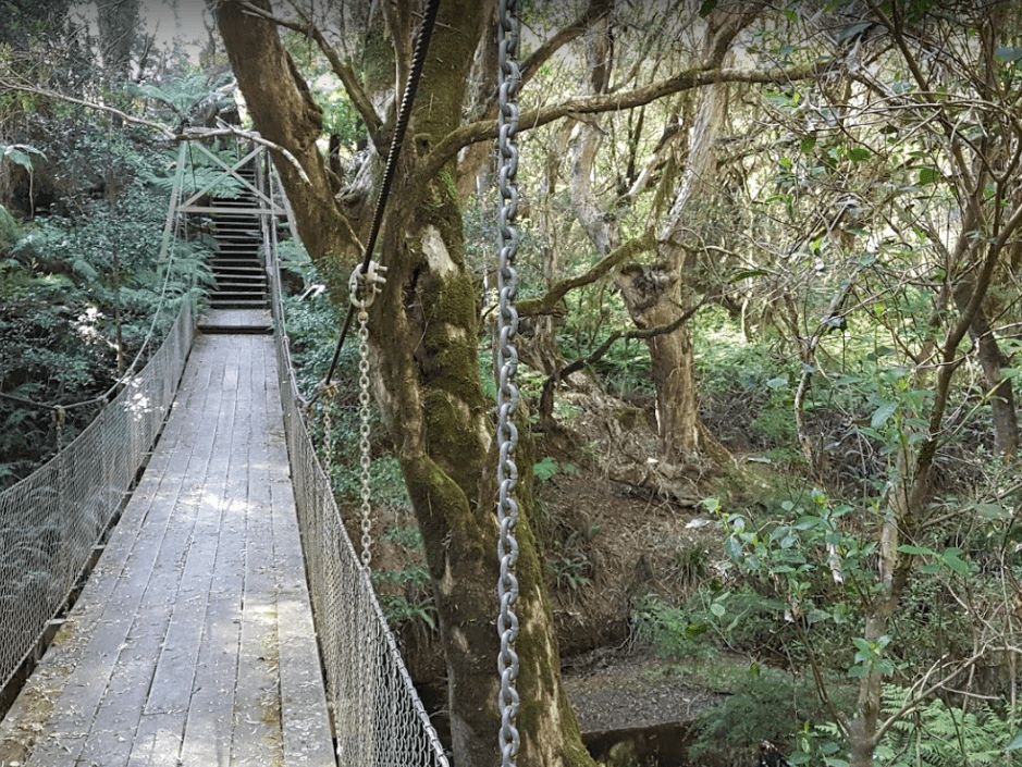
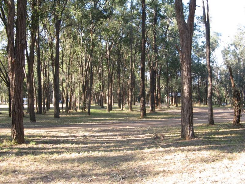
McKenzie River Rainforest Walk
The McKenzie River Rainforest Walk is approximately a 1 kilometer easy walk (there are a few stairs to negotiate), and is a nice break from driving. The picnic tables, rubbish bins, and toilet facilities make this a nice place to pull over, and as a bonus ...
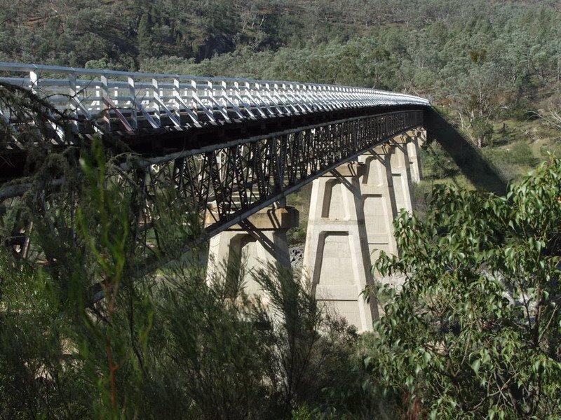
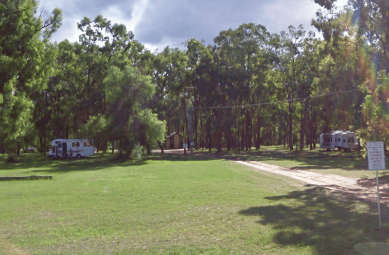
McKillops Bridge Camping Area
The McKillops Bridge Camping Area has a toilet and limited facilities, and is within easy walking distance to the Snowy River. Entrance to the McKillops Bridge Camping Area McKillops Bridge Camping Area location map
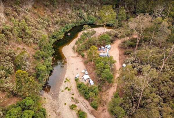
McKinnon Point Camping Area
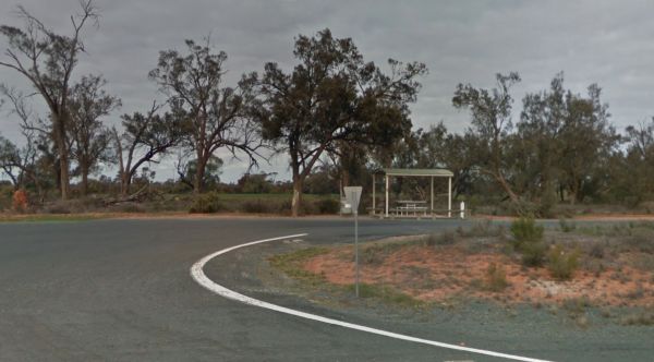
The Mckinnon Point Camping Area has easy access to river during the summer months parts of river will dry up but the remaining parts are lovely to swim in. The Freestone Creek runs alongside this spot, there are some lengthy walks of up to 60 kilometers a ...
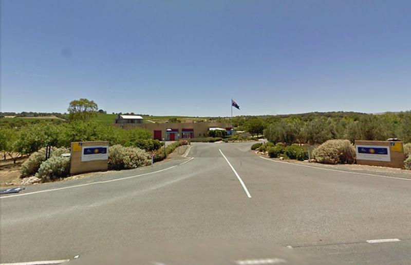
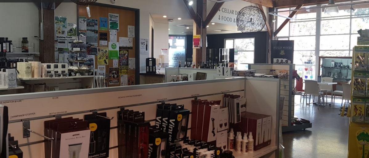
McLaren Vale and Fleurieu Visitor Centre
The McLaren Vale and Fleurieu Visitor Centre has a bit going for it including an art gallery, cafe and wine tasting, clean toilets, indoor and outdoor seating, good parking for caravans, motorhomes and buses. Open 7 days a week (excluding Good Friday and ...
Entrance to the McNamara Park Rest Area 72 Hour Limit McNamara Park Rest Area 72 Hour Limit location map
Entrance to the McPhillips Creek Rest Area McPhillips Creek Rest Area location map
Entrance to the Meadow Glen Rest Area Meadow Glen Rest Area location map
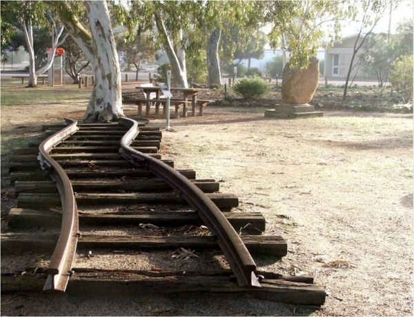
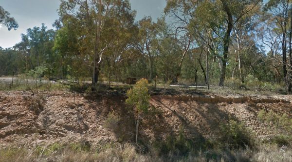
The Meckering Memorial Park Stock has public toilets a few rubbish bins and picnic tables and some trees for shade. Be sure to explore the park and read about the earthquake that devastated this area on October 14th, 1968. The train Railway line is an exa ...
Medowie Rest Area
Entrance to the Medowie Rest Area Medowie Rest Area location map
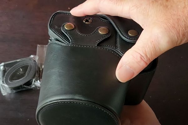
I recently bought a MegaGear Camera Case for my Sony RX10 IV, and I'm really happy with it. The case fits perfectly and provides excellent protection for my camera. It features a hardshell casing made from PU leather, which is durable and water-resistant. ...
Entrance to the Meilman East Truck Parking Area Meilman East Truck Parking Area location map
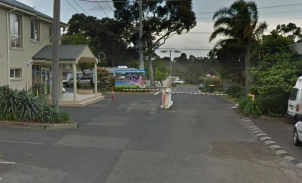
Entrance to the Melbourne Big4 Holiday Park Melbourne Big4 Holiday Park location map
Page 65 of 111