Postcode: 3730
Results 1 - 4 of 4


0 reviews
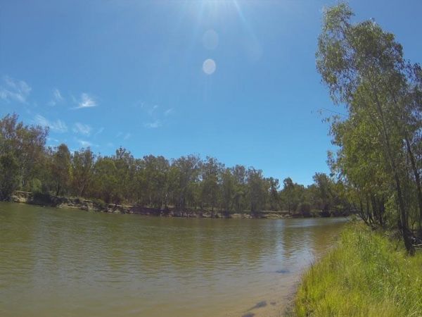
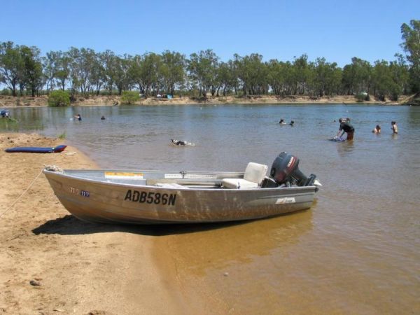
The Bruces Bend Camping Area is located on the banks of the Murray River, and is accessible by 2 wheel cars in dry weather. Here you will find Non-flush toilets and picnic tables and a boat ramp. Bruces Bend Camping Area location map
Category
Free Camping
Cullens Road, Yarrawonga, 3730, Victoria, Australia
0 reviews
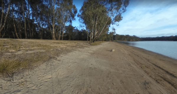
The Green Bank Camping Area is a rough bush camp next to the Murray River. To get there follow Cullens Road, then Loop Track to find a suitable camping spot. Green Bank Camping Area Green Bank Camping Area location map
Category
Free Camping

Little Bruces Track, Yarrawonga, 3730, Victoria, Australia
0 reviews
Little Bruces Track Camping Area has 3 general camping sites, Forges 1, Forges 2, and Little Bruce. Can be hard to find the right Dirt road running off the Murray Valley Highway (Turn off GPS -35.998578, 145.936646), but well signed after that. Little Br ...
Category
Free Camping