South Australia: Recently Updated Listings
The South Australia - Northern Territory Border Rest Area is a 24 hour camping area that has an asphalt car park set up nicely for cars with caravans. There are public toilets and a few rubbish bins, but shade is rather limited. You can also camp on the o ...
 ,
,  ,
,  ,
, 
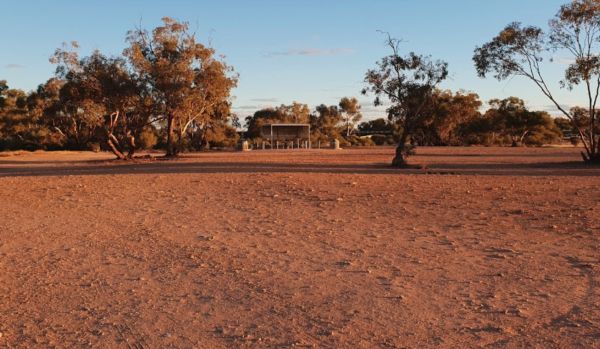
The Nooltana Creek Rest Area is slightly elevated from the Barndioota Road which runs below it. There are a few trees for shade and a rubbish bin. You can expect a few truck's to stop here, but there is plenty of room for your motorhome or caravan, and yo ...
 ,
,
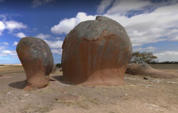
The Murphy's Haystacks Park Rest Area has room to park your caravan, and there is a well defined path for you to go and explore this unusual rock outcrop. Entrance to the Murphy's Haystacks Park Rest Area Murphy's Haystacks Park Rest Area location map ...
,
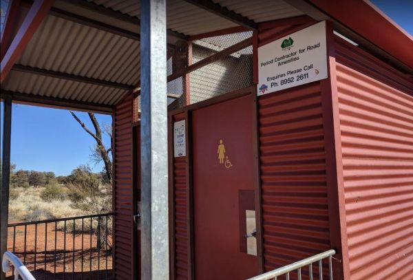
The Mount Dutton Bay Rest Area is right next to the water's edge. There is a public toilet block here, and room to park your caravan, and Please keep the boat ramp area clear at all times. Entrance to the Mount Dutton Bay Rest Area Mount Dutton Bay Re ...
,  ,
,
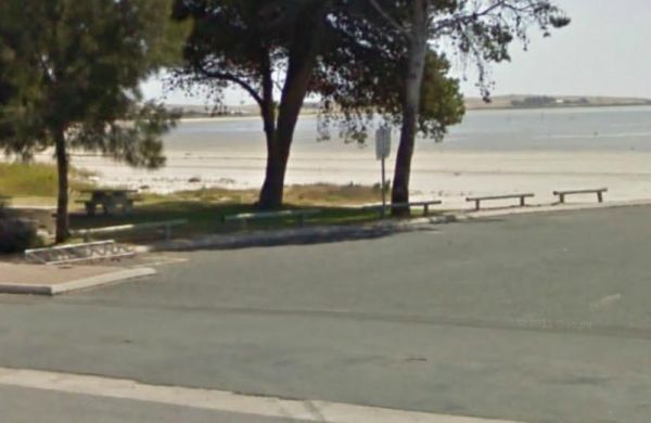
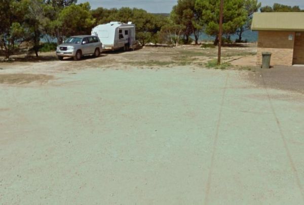
The Meningie Lions Jubilee Park has some shops within walking distance from here. You can try some beach fishing or from the small jetty at high tide. Or simply take a nice walk along the sandy shoreline. Entrance to the Meningie Lions Jubilee Park Me ...
, , ,
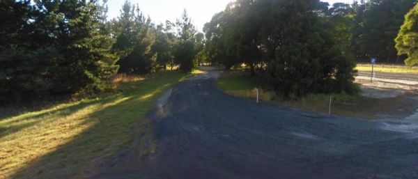
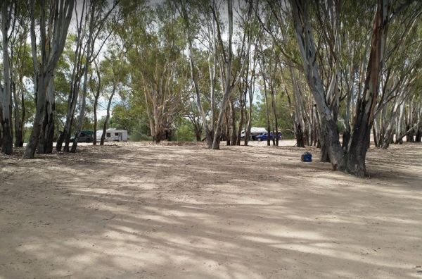
The Kromelite Road Rest Area is located in a forestry setting with room to park your caravan, and plenty of shade and a rubbish bin. Entrance to the Kromelite Road Rest Area Kromelite Road Rest Area location map
The Kingston South Rest Area is a gravel area set back from the Princes Highway. There is plenty of room to park your caravan, with lots of shade and picnic tables, and rubbish bins. Entrance to the Kingston South Rest Area Kingston South Rest Area lo ...
,
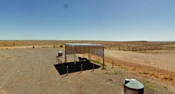
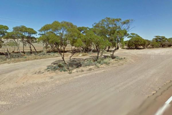
The Ingomar North Rest Area is a large gravel area, with plenty of room for all sized caravans. There is an undercover picnic table and some rubbish bins here also. The scenery is almost featureless, apart from the hills in the distance. Entrance to the ...
The Half Way Rest Area Entrance to the Half Way Rest Area Half Way Rest Area location map
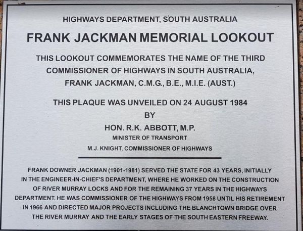
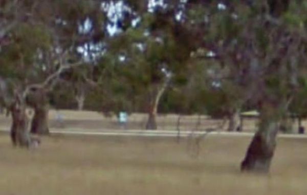
Frank Jackman Memorial Lookout is located on an asphalt circular drive, with a few trees, picnic tables and rubbish bins along its length. Entranced to the Frank Jackman Memorial Lookout Frank Jackman Memorial Lookout location map
,
The Dublin Lions Park Rest Area Entrance to the Dublin Lions Park Rest Area Dublin Lions Park Rest Area location map
,  ,
,  , ,
, ,
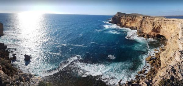
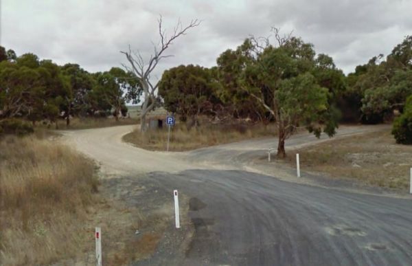
The Cummings Lookout Rest Area is just off the Flinders Highway. It's a further 500 metres to the Cummings Monument, which overlooks the Great Australian Bight. Entrance to the Cummings Lookout Rest Area Cummings Lookout Rest Area location map
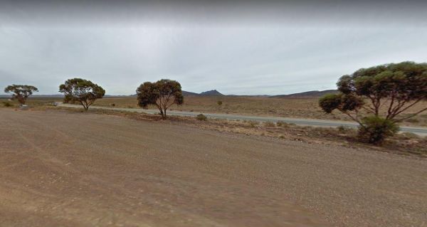
The Agnes Creek Rest Area is set back a few hundred metres on a gravel surface from the Stuart Highway. There is a picnic table a few rubbish bins and that's about it. Entrance to the Agnes Creek Rest Area Agnes Creek Rest Area location map
 ,
,
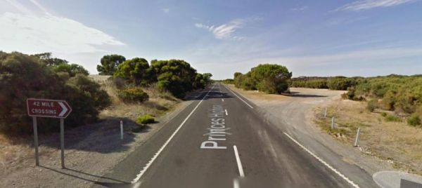
The 42 Mile Crossing Rest Area is a large gravel area set back from the Princes Highway. There is plenty of room to park any sized rig and a few small trees that separate you from the Princes Highway. Entrance to the 42 Mile Crossing Rest Area 42 Mile ...
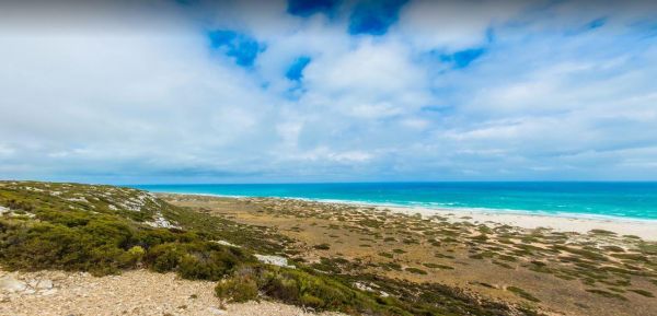
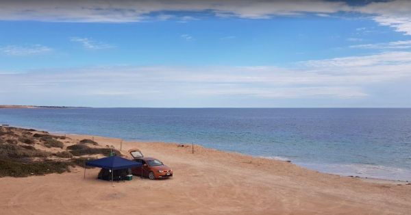
The 17k Peg Rest Area is set back a short distance on a gravel area with ocean views, it is a fair walk to the water's edge, but there are walking tracks for those who want to explore a bit more than the average person. Entrance to the 17k Peg Rest Area ...
The 12 Mile Dam Rest Area is just on the edge of the Eyre Highway, with a few trees offering limited shade. There are also a rubbish bin here, the track to the dams has been blocked.. Entrance to the 12 Mile Dam Rest Area 12 Mile Dam Rest Area locatio ...
The Tiparra Rocks Camping Area is a rough campsite, bring everything with you, and take your rubbish away when you leave. Make sure you obtain a permit first, if you want to stay here. Tiparra Rocks Camping Area location map
,
The Thiele's Sandbar Camping Area You can camp on the sandbar, But I Wouldn't take a caravan there. Better to keep back a bit in the scrub if you have a van. Thiele's Sandbar Camping Area location map

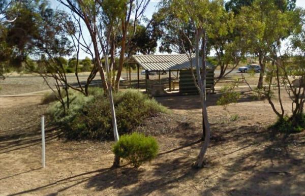
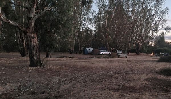
The Plushes Bend Camping Area Quite a few shady camping spots close to the Murray River water's edge, and there is a composting public toilet onsite to make your stay a bit more pleasant. Please take your rubbish with you when you leave. Entrance to the ...
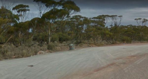
The Wudinna East Rest Area is a gravel area just on the edge of Eyre Highway. There's not a lot to do here, apart from take a break from driving. Entrance to the Wudinna East Rest Area Wudinna East Rest Area location map